Overview
Cabrillo National Monument is named for a Spanish explorer that sailed the California coastline in 1542 before mysteriously dying in the Channel Islands. Located on Point Loma peninsula west of San Diego Bay, the steep cliffs offer great overlooks of Coronado Island and the city beyond.

Highlights
Cabrillo statue, 1854 Old Point Loma Lighthouse, tidepools
Must-Do Activity
To find out more about the history of Spanish exploration in this region, check out the museum and talk to one of the costumed actors (it is southern California after all). The national monument is a great place to imagine life at the Old Point Loma Lighthouse or learn the military past of the strategic defense post Fort Rosecrans.
Best Trail
Follow the road downhill to the Pacific Ocean side of the peninsula to a great spot to explore tidepools. Watch for migrating gray whales in the winter and the many unique bird species that migrate up and down the coast. There is also the 2.5-mile roundtrip Bayside Trail.
Instagram-worthy Photo
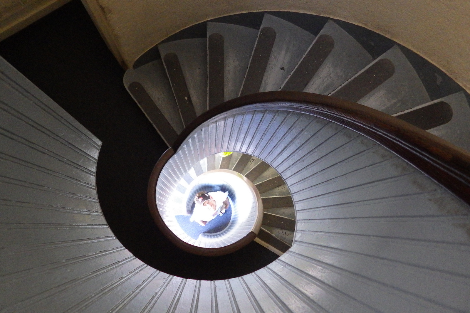
Old Point Loma Lighthouse was built in 1854, but due to that famous California coastal fog it was retired from service in 1891. Climb its circular stairs for a unique photo that looks like the inside of a seashell.
Peak Season
Year round, but less likely to be foggy in the winter.
Hours
https://www.nps.gov/cabr/planyourvisit/hours.htm
Fees
$20 per vehicle or America The Beautiful pass
Road Conditions
All roads paved
Camping
Mission Trails Regional Park off Highway 52 and other private campgrounds are located nearby.
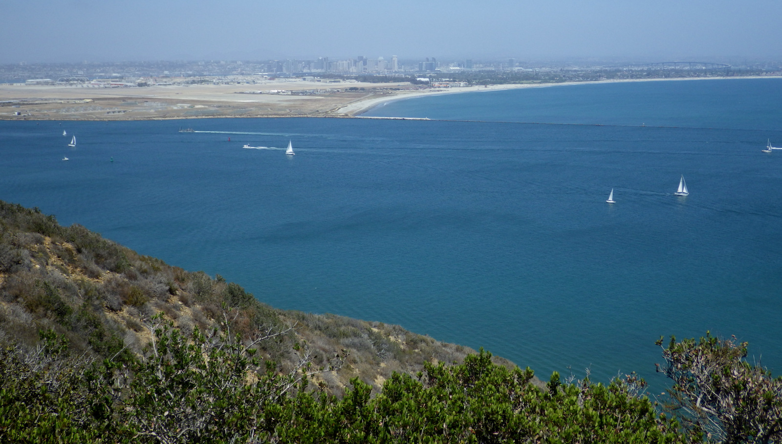
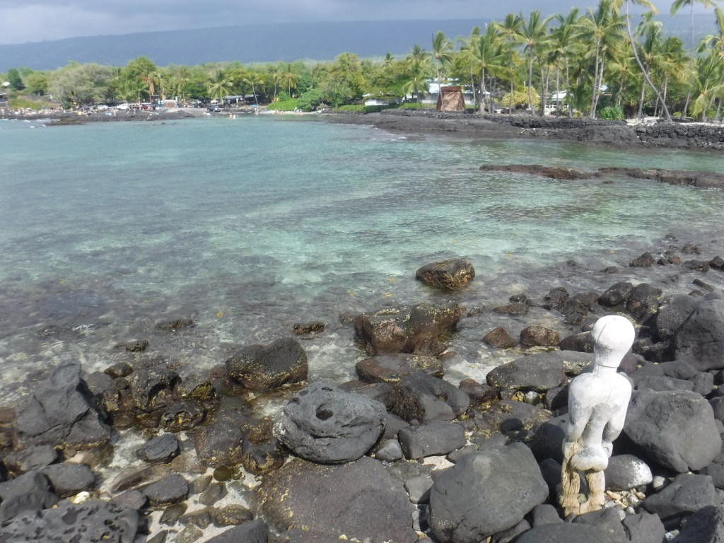
When it’s not foggy, there are great views of San Diego and the Pacific Ocean. 
Scott’s mother at the Cabrillo statue 
Scott dressed up as a Spanish Conquistador 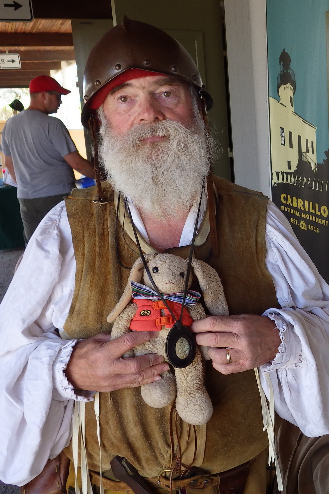
Wondon posing with a costumed actor 
Tiff and Scott’s mother at Old Point Loma Lighthouse 
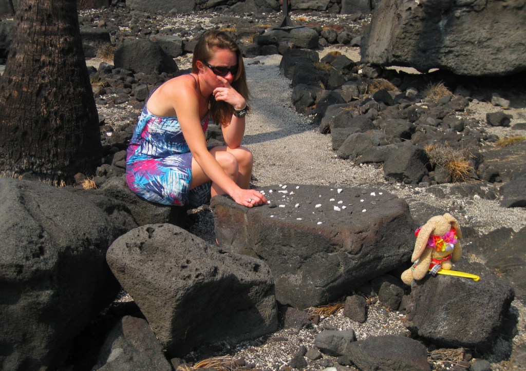
When the tide is low, exploring the tidepools is a great family activity. 

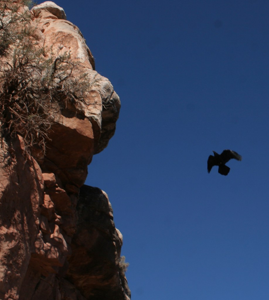
Even this park had a raven, though surely not happy to be caged.
Explore More – You would expect that Spain purchased the statue of Cabrillo, but which country actually did?