Overview
In the open plateau northeast of Flagstaff, Arizona lies 35,000 acres set aside in 1924 to protect a collection of archaeological sites. A 35-mile drive through Sunset Crater Volcano National Monument and adjacent Wupatki National Monument passes through ponderosa pine forests and sunflower-filled meadows on its way to an arid, rocky high desert. Archaeologists theorize the Ancestral Puebloan people were attracted to this place by the fertile volcanic ash deposited by the contemporaneous eruptions at Sunset Crater.
Highlights
Wupatki Pueblo, Lomaki Pueblo, Citadel and Nalakihu Pueblos, Wukoki Pueblo
Must-Do Activity
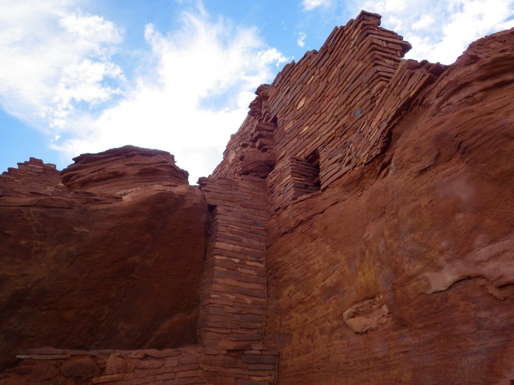
The most famous of the ruins is named Wupatki Pueblo, a three-story, 100-room house inhabited by Sinagua around AD 1100. At the height of its occupation, the structure was three stories tall and contained 100 rooms. Its location near a spring allowed villagers to farm the volcanically-enriched soil, plus the leisure to build an amphitheater and ball court. Here there is more than just crumbling ruins and pottery shards behind glass in a museum; there is a palpable feeling that this was a place where people lived.
Best Trail
The paved walking loop from the visitor center at Wupatki Pueblo is a half mile long and there are short interpretive trails at several additional ruins (see Highlights above), most located not far from parking lots.
Instagram-worthy Photo
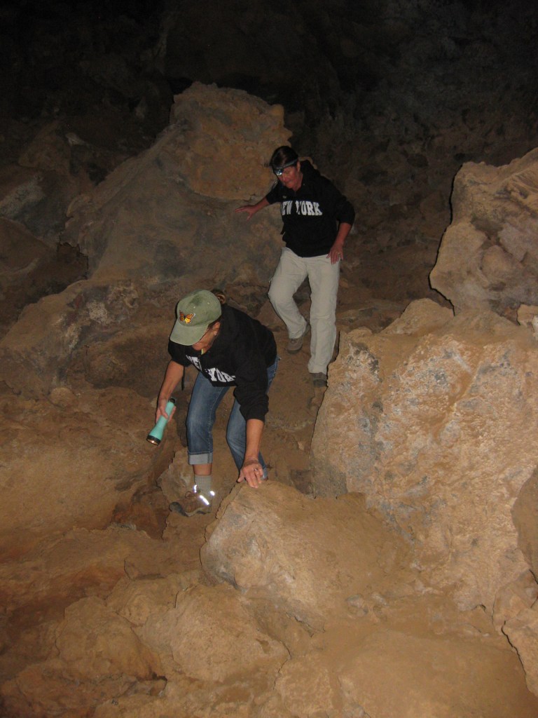
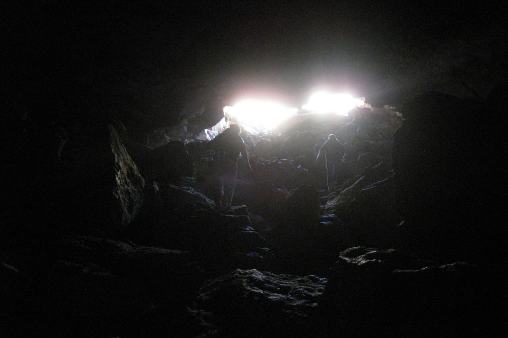
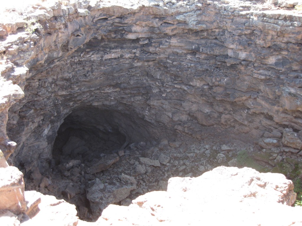
Next to the ball court, do not miss the small opening to a larger cavern (or earthcrack) that breathes in or out depending upon the change in barometric pressure. It is not hard to imagine kids playing here hundreds of years ago.

Peak Season
Summer
Hours
https://www.nps.gov/wupa/planyourvisit/hours.htm
Fees
$25 per vehicle (or America the Beautiful pass), which also covers entrance to neighboring Sunset Crater Volcano National Monument
Road Conditions
All roads to ruins are paved, but there is one dirt road that leads to the Little Colorado River, which forms the border with the Navajo Indian Reservation.
Camping
The U.S. Forest Service runs the Bonito Campground across from the Sunset Crater visitor center between May and October. Dispersed camping is allowed in portions of Coconino National Forest.
Related Sites
Walnut Canyon National Monument (Arizona)
Tuzigoot National Monument (Arizona)
Grand Canyon National Park (Arizona)
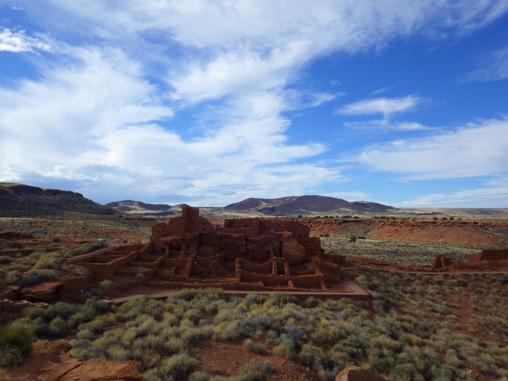
Wupatki Pueblo from the NPS visitor center 


Scott in the ballcourt 


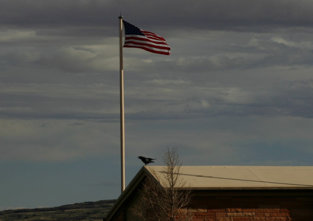
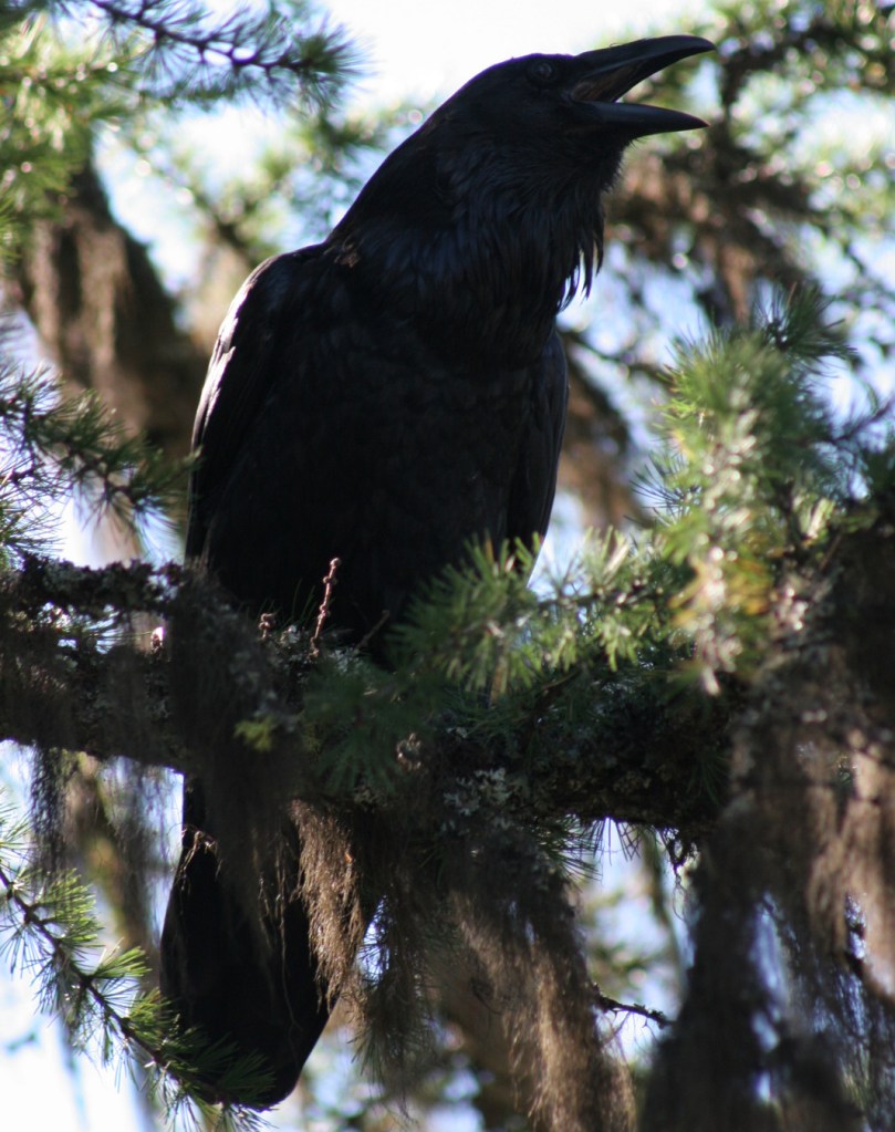
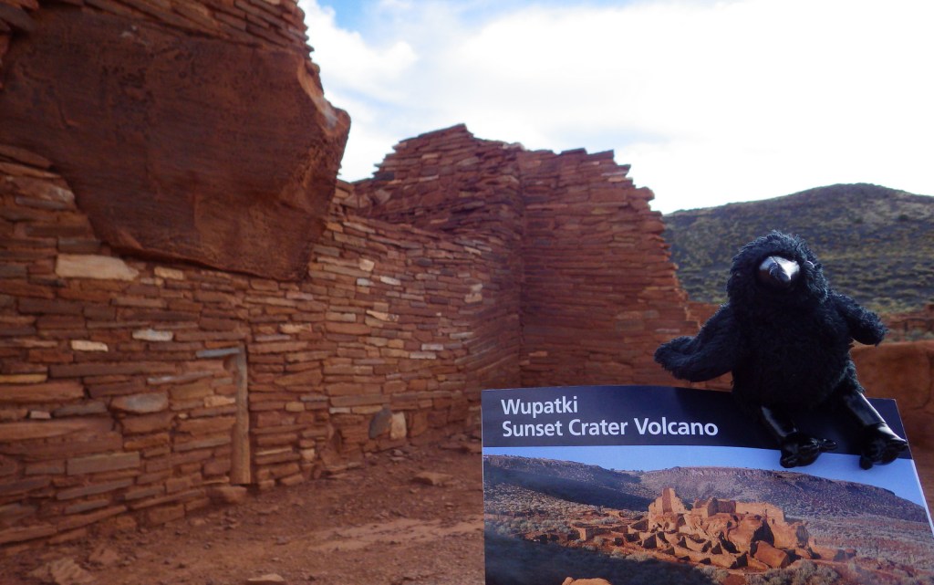
Raven about the park 
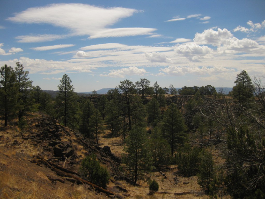
The scenic drive from Sunset Crater to Wupatki 
Pronghorn buck 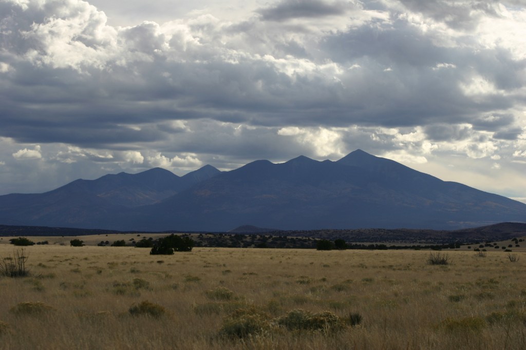
San Francisco Peaks from the scenic drive
Explore More – What were the two main types of sedimentary rock used to construct the pueblos?