Fort Pierre National Grassland
South Dakota
207,017 acres (115,890 federal/ 91,127 other)
Website: https://www.fs.usda.gov/recarea/nebraska/recarea/?recid=10637
Overview
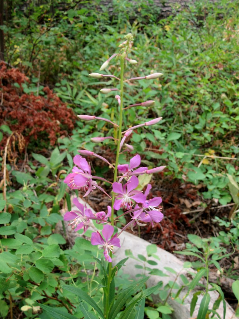
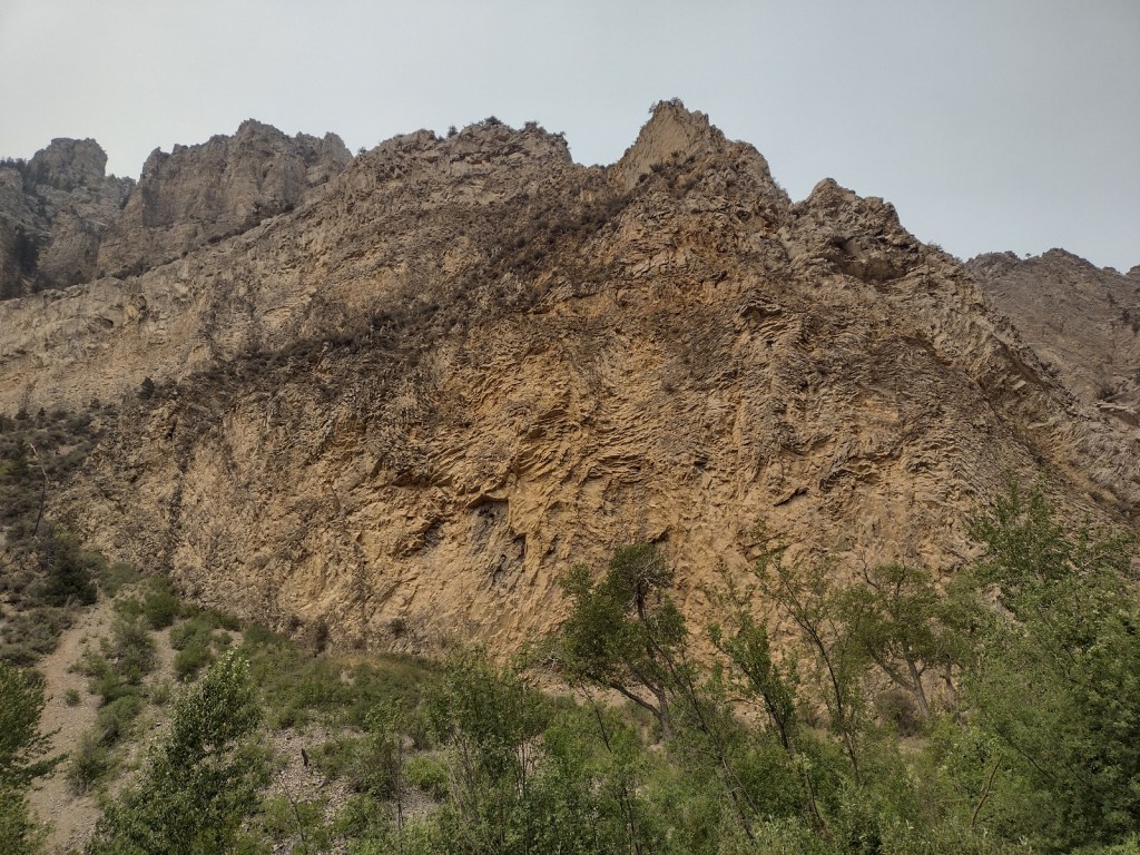
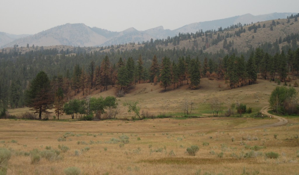
Fort Pierre National Grassland is located south of the state capital of Pierre, north of Interstate 90, and west of the Lower Brule Indian Reservation. The topography ranges from gently rolling hills to steeper slopes along creeks that flow into the Bad River and the Missouri River. Portions of the movie Dances with Wolves were filmed here in the early 1990s. If there is abundant spring precipitation, wildflower blooms of goldenrod, spiderwort, purple coneflower, and daisy fleabane are supposed to be incredible.

Highlights
Richland Wildlife Area, Sheriff Dam Recreation Area
Must-Do Activity
Before arriving, download the maps of Fort Pierre National Grassland through the U.S. Forest Service Visitor Maps app, or pick up a paper map at the visitor center in Wall, South Dakota. Look online for the publication South Dakota Fishing Guide to the National Grasslands, which provides information on 41 fishing ponds in Fort Pierre National Grassland. Originally built in 1934, Richland Dam was renovated in 2014 and now features handicapped-accessible fishing and a concrete boat ramp. The reservoir contains largemouth bass, yellow perch, bluegill, black crappie, and bullhead catfish. Fishing ponds are generally open December 1 to August 31 to avoid overlap with hunting season.
Best Trail
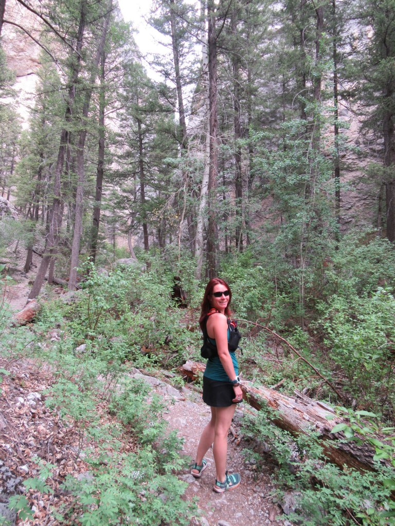
We did not see any defined trails, but you could walk cross-country, on the dirt roads, or circle around the many ponds.
Watchable Wildlife
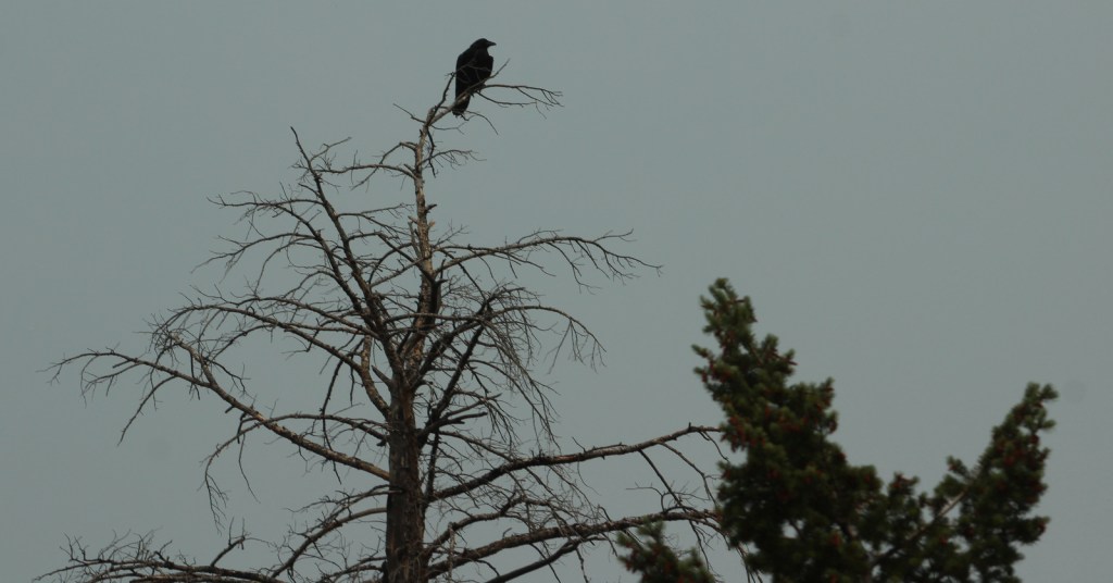
Richland Wildlife Area is 540 acres managed to provide nesting cover for greater prairie chickens, sharp-tailed grouse, and ring-necked pheasants. Black-tailed prairie dog towns provide habitat for prairie rattlesnakes and burrowing owls. Both mule and white-tailed deer are found here, in addition to pronghorns, jackrabbits, badgers, and coyotes. We saw a prairie falcon, bald eagle, and northern harrier hunting from the air.
Instagram-worthy Photo
Look for muskrat activity along the banks of Sherriff Dam Reservoir. This is also where we saw more than 200 red-winged blackbirds take flight from a field of sunflowers (see photos below).

Peak Season
Spring and fall
Fees
None
Road Conditions
The clay soils of Fort Pierre National Grassland can make the unpaved roads impassable to passenger vehicles when muddy, plus the deep ruts make it easy to get high-centered.
Camping
It is free to camp at Richland Dam or Sheriff Dam Recreation Areas, and dispersed camping is allowed anywhere on public land parcels (so be sure to consult maps).
Related Sites
Cedar River National Grassland (North Dakota)
Jewel Cave National Monument (South Dakota)
Minuteman Missile National Historic Site (South Dakota)
Nearest National Park


Explore More – Now considered a suburb of the capital city of Pierre (although it is in a different time zone), when was Fort Pierre originally constructed on the Missouri River?