Tag Archives: wilderness

Sequoia National Park

Sequoia National Park

California

Managed by National Park Service

Established 1890

404,064 acres

Website: nps.gov/seki

Overview

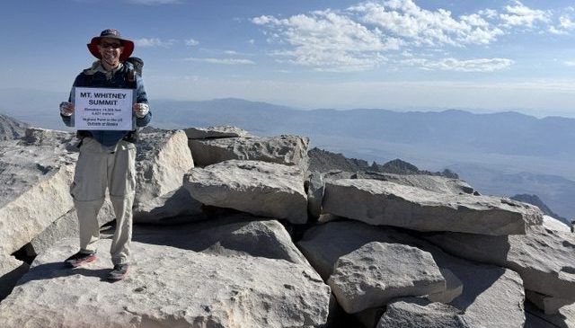
In 1890, Sequoia became the second National Park in the United States in order to protect its famous groves of giant sequoia trees, not to be mistaken for California’s coast redwoods.  The park’s hub in the Giant Forest contains the General Sherman tree, the largest by volume in the world.  Most of the park is in the High Sierra and includes Mt. Whitney, the highest point in the contiguous U.S. at 14,505 feet.  It is comanaged with Kings Canyon National Park.

Know someone who loves National Parks? Gift them our travel guide A Park to Yourself: Finding Solitude in America’s 63 National Parks. 

A scenic view of Sequoia and Kings Canyon National Park featuring tall sequoia trees, green foliage, and patches of snow on the ground with a sign in the foreground.

Highlights

General Sherman Tree, Moro Rock, Crystal Cave, Mt. Whitney, John Muir Trail, Pacific Crest National Scenic Trail

Must-Do Activity

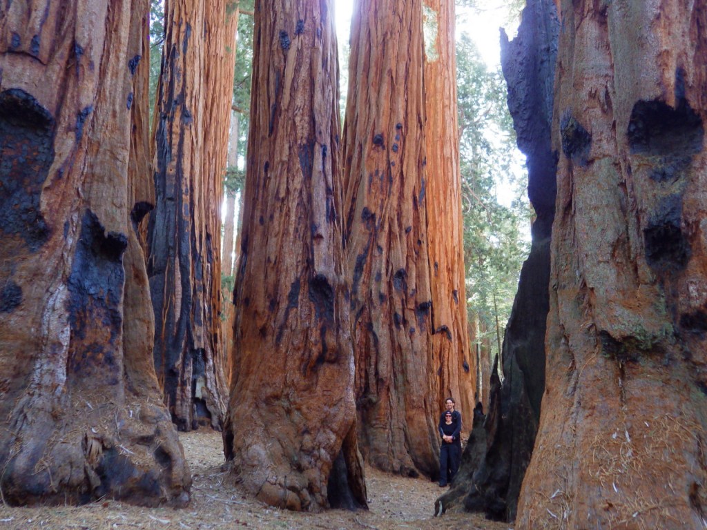
The remarkable giant sequoia tree can live over 2,000 years, reach three hundred feet in height, and grow the largest wood volume of any single-stemmed tree on the planet.  They are only found in 75 protected groves scattered throughout California’s Sierra Nevadas.  Bring your whole family to see how many people it takes arms linked to reach around the base of one of these massive trees.  With circumferences reaching over 100 feet, you are going to need a big family! 

Best Trail

Crescent Trail starts near the General Sherman tree, winds up the hill, and then connects with the Trail of the Sequoias, which passes the dense clusters of the Senate and House Groups.  It is especially nice when there is snow on the ground.

Instagram-worthy Photo

Any time of year is great to visit, but the winter is perhaps the prettiest as the snow contrasts nicely with the orange bark of the giant sequoia trees.

A towering sequoia tree surrounded by smaller evergreen trees in a snow-covered forest.

Peak Season

Summer due to the high elevation

Hours

https://www.nps.gov/seki/planyourvisit/hours.htm

Fees

$35 per vehicle or America The Beautiful pass

Road Conditions

Roads are paved, but steep, winding, and narrow.  The rough Mineral King Road is closed in winter.

Camping

There are several large campgrounds near the Giant Forest, as well as two on the rough road to the remote Mineral King section of the park.  All backcountry camping requires a permit and is on a quota system during the summer.

Related Sites

Yosemite National Park (California)

Giant Sequoia National Monument (California)

Kings Canyon National Park (California)

Logo of Sequoia National Park featuring tall trees and a bear illustration.

This design we created to celebrate Sequoia National Park is available on a variety of products at Cafe Press and Amazon.

Explore More – Why do park rangers recommend you wrap your car with chicken wire when you visit Mineral King?

Book cover of 'A Park to Yourself: Finding Solitude in America's 63 National Parks, Expanded 2nd Edition' by Scott Sink, PhD and Tiff Sink, MPH, featuring a person walking through a narrow canyon.

Know someone who loves National Parks? Gift them our travel guide A Park to Yourself: Finding Solitude in America’s 63 National Parks. 

Appalachian National Scenic Trail

Overview

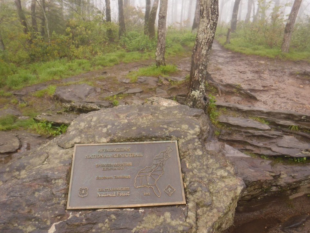
The Appalachian Trail (or A.T.) is one of only three National Scenic Trails that the National Park Service (NPS) includes in its total of 420+ units, despite there being many other affiliated trails (some with their own Visitor Centers).  The trail stretches 2,185 miles from Springer Mountain, Georgia (in Chattahoochee National Forest‘s Ed Jenkins National Recreation Area) to Mount Katahdin, Maine, crossing 14 states, 6 NPS sites, 8 National Forests, and countless other parks.

AT6-IMGP0879.JPG

Highlights

Ed Jenkins National Recreation Area, Great Smoky Mountains National Park, Shenandoah National Park, Mount Washington State Park, Baxter State Park

Must-Do Activity

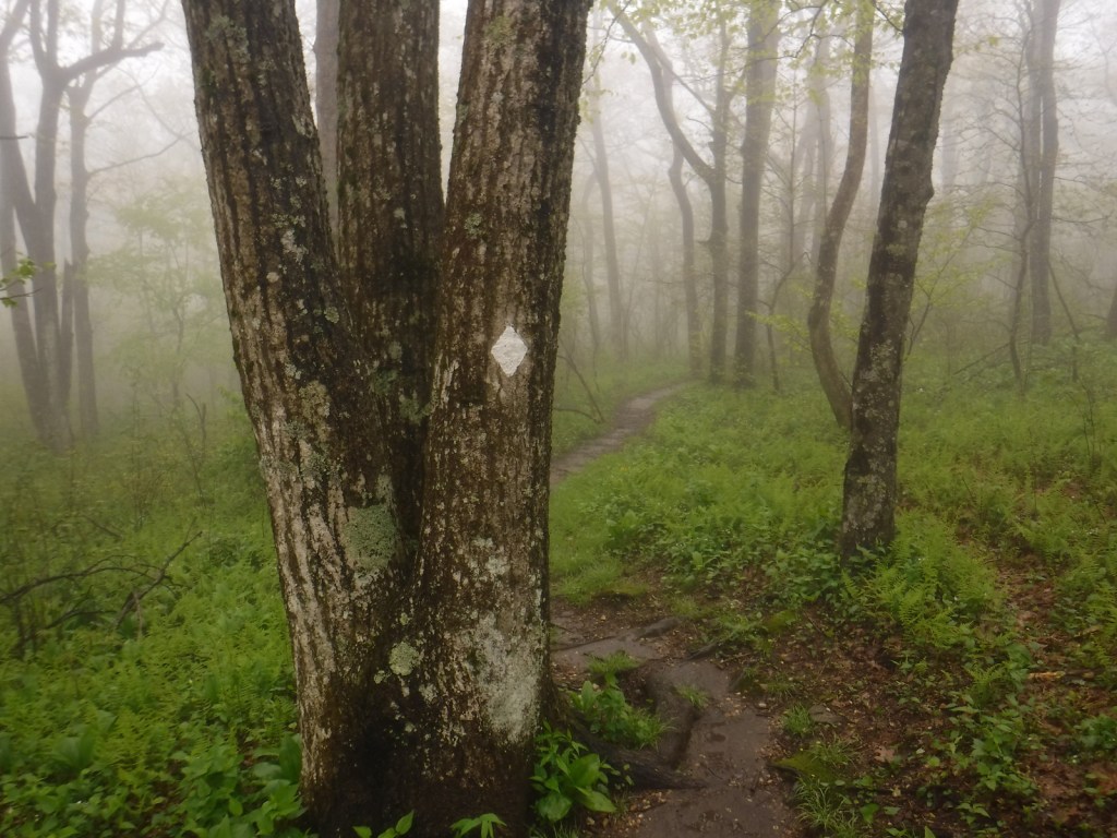
Even if just for a short stretch, gets a taste for the A.T. by following the white rectangular blazes going north or south anywhere along its length.  The trail through Newfound Gap in Great Smoky Mountains National Park is especially popular. Check out our blog post on the short hike to the southern terminus of the A.T. at Georgia’s Springer Mountain in Chattahoochee National Forest‘s Ed Jenkins National Recreation Area.

Best Trail

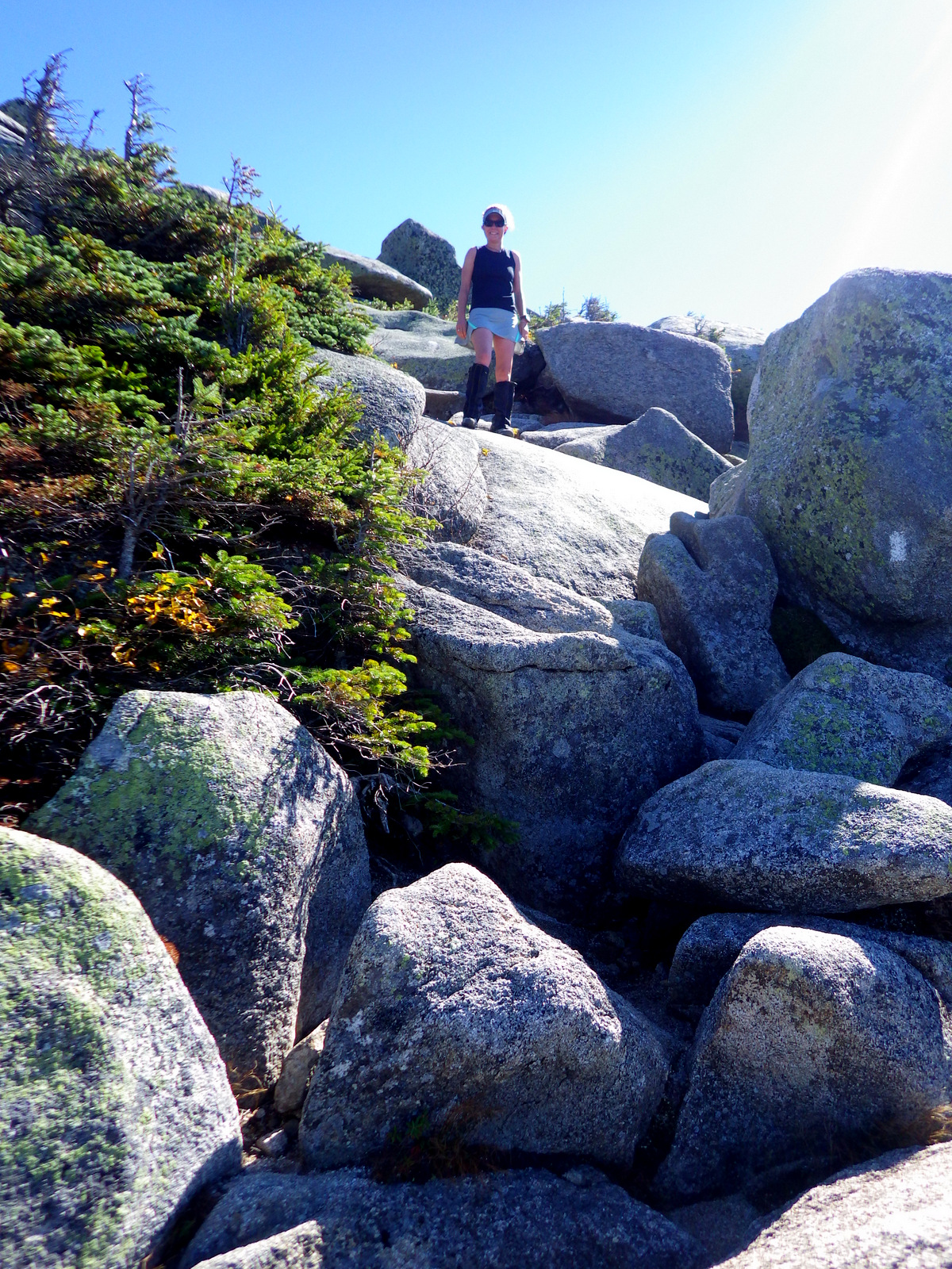
The last stretch of the trail ascends Katahdin in Maine’s Baxter State Park.  My impression from the surly park employees is that they would rather not be the official end of the Appalachian Trail.  For instance, they fined record-setting Scott Jurek for public alcohol consumption and littering when he spilled some champagne celebrating his accomplishment atop Katahdin in 2015.  The funny thing about the A.T. is that it ends (and begins) on top of a mountain where you have to turn around and hike out.

Instagram-worthy Photo

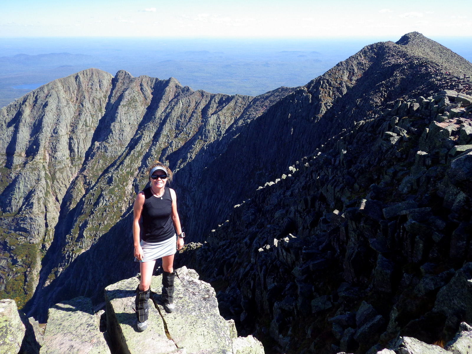
The views on top of Katahdin are unsurpassed and you might get to celebrate with a thru-hiker finishing the 2,185-mile journey.

At the top!  The mountain looks similar to many of the 14ers in Colorado

Peak Season

Most thru-hikers go in the summer due to snow.  Baxter State Park closes in the winter, but most of the trail is accessible year round.

Hours

https://www.nps.gov/appa/planyourvisit/basicinfo.htm

Fees

Free to hike, but some parks (like Shenandoah National Park) charge for admission and camping.

Road Conditions

Trailhead access can be both paved and dirt (which is the case in Baxter State Park).  The trail is only paved in a few portions like atop Clingman’s Dome in Great Smoky Mountains National Park.

Camping

There are more than 160 trail shelters along the A.T. and in some places like Great Smoky Mountains National Park backpackers are required to utilize them.  Otherwise dispersed camping is mostly allowed along the entire length of the trail.

Raven flyover
Raven about the park!
At the peak and end of the AT
Group shot!
AT3-IMGP0829
A view of the new Katahdin Woods and Waters National Monument
A view looking east at the new Katahdin Woods and Waters National Monument.

Explore More – Approximately how many steps must a human take to cover 2,185 miles?