Cherokee National Forest
Tennessee, North Carolina
Managed by U.S. Forest Service, Southern Region
1,204,847 acres (655,598 federal/ 549,249 other)
Website: https://www.fs.usda.gov/cherokee
Overview
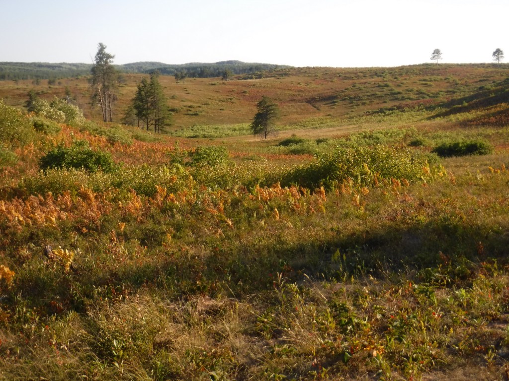
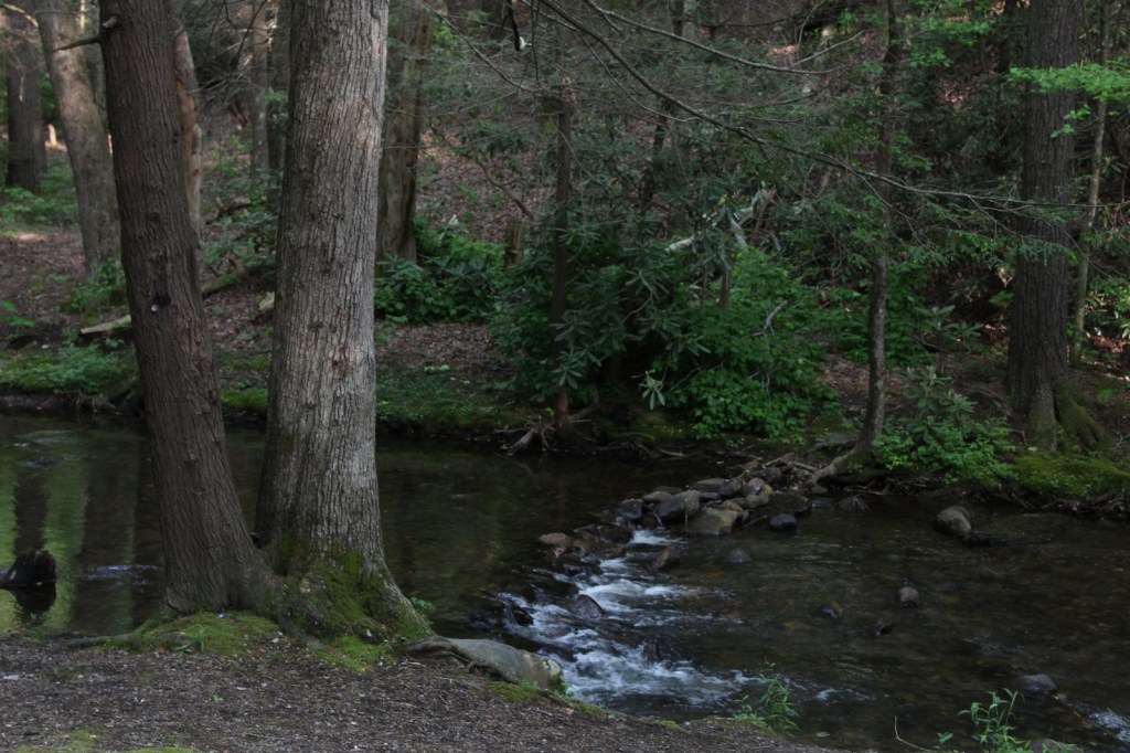
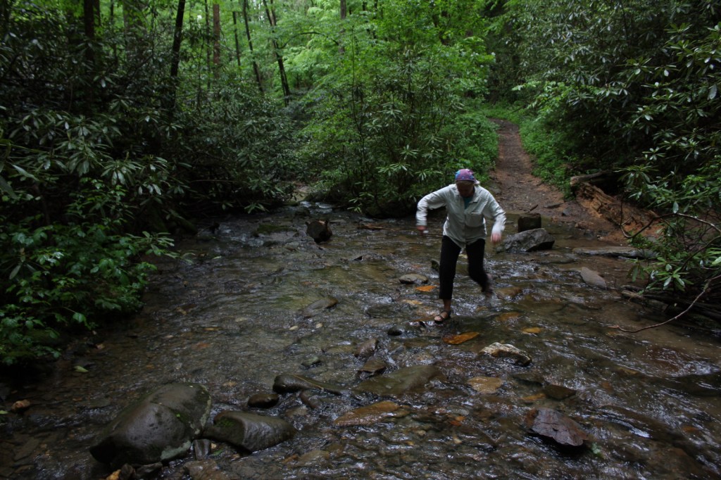
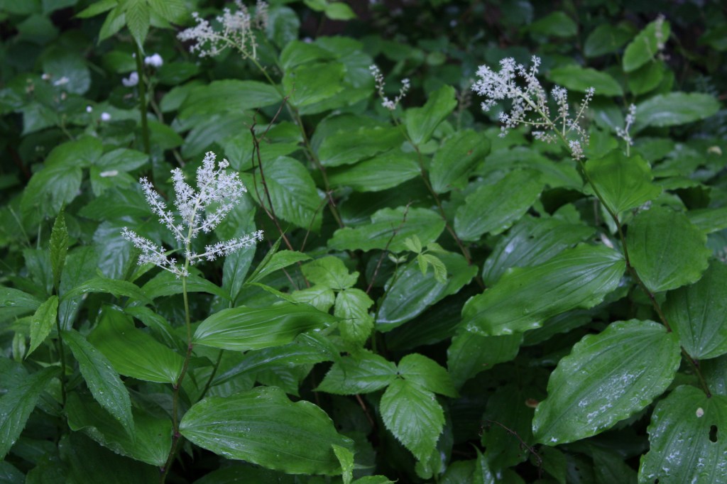
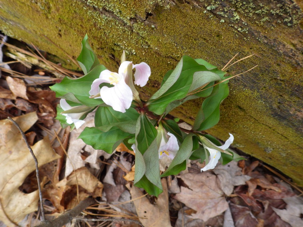
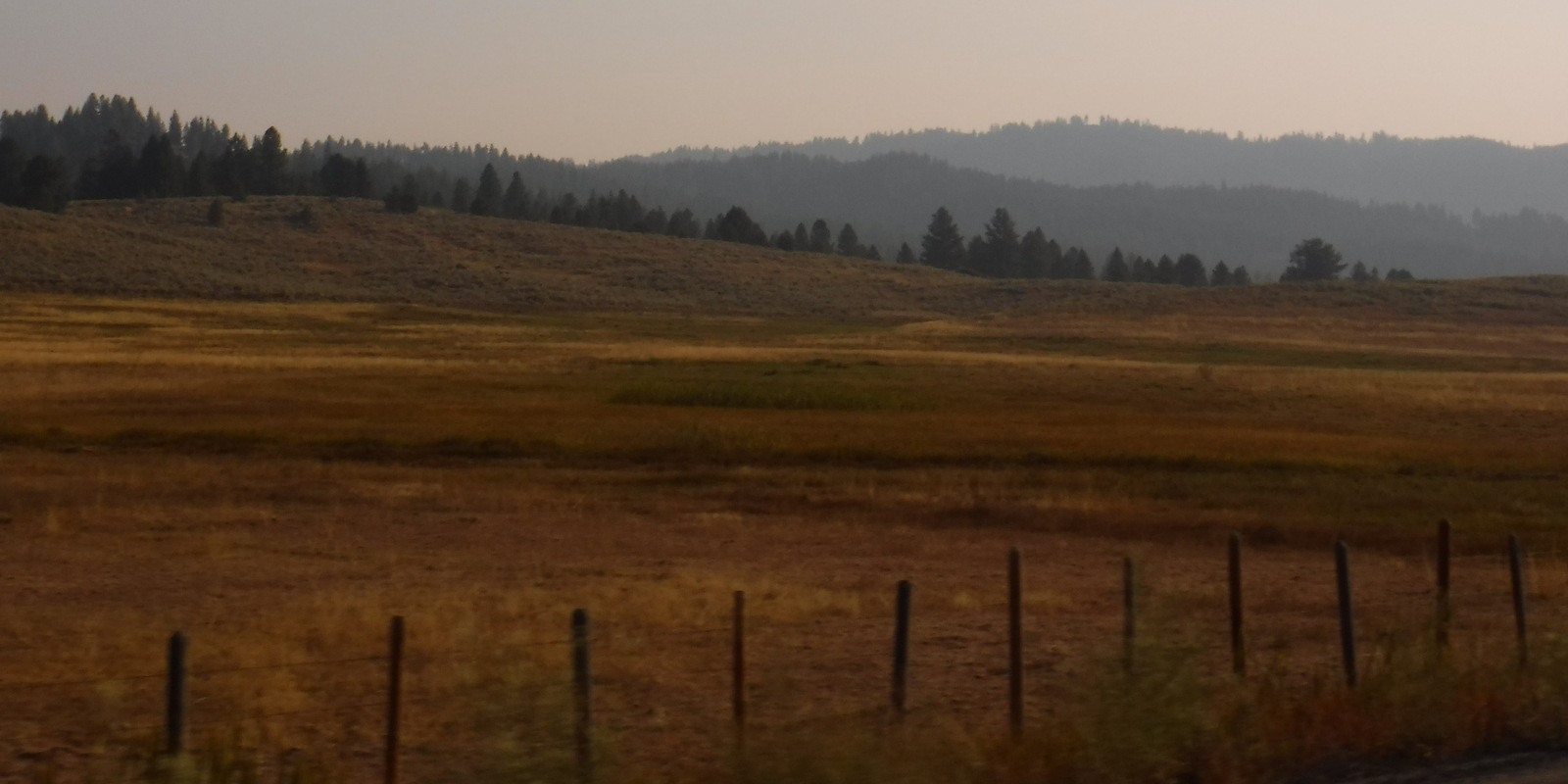
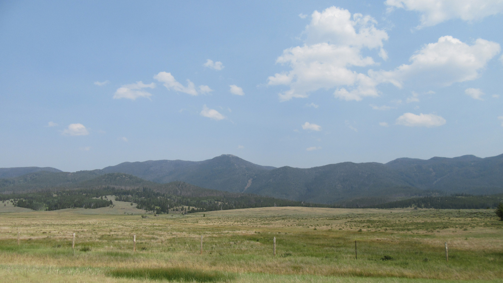
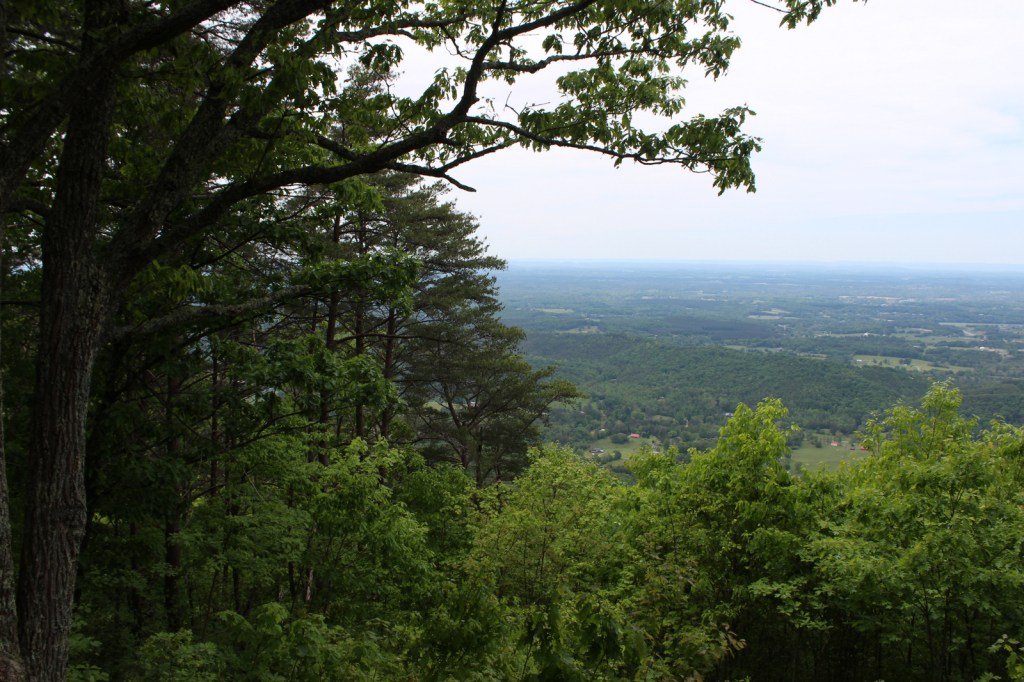
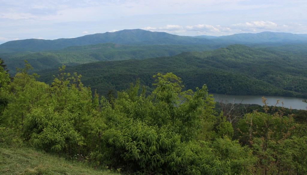
The southern Appalachian Mountains have some of the highest biodiversity in the United States, with more than 20,000 species of plants and animals. In the heart of this region, Cherokee National Forest is located north and south of Great Smoky Mountains National Park in eastern Tennessee. Abundant rainfall and steep terrain make whitewater rafting a popular activity, especially on the Ocoee National Wild and Scenic River.

Highlights
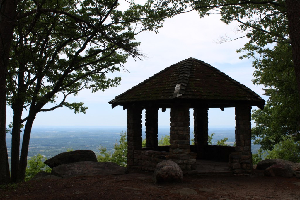
Cherohala Skyway, Hiwassee River, Bald River Falls, Ocoee Scenic Byway, Boyd Gap Observation Site, Turtletown Creek Falls Scenic Area, Ocoee Whitewater Center, Coker Creek Scenic Area, Dudley Falls Picnic Area, Watauga Lake, Rock Creek Gorge Scenic Area, Laurel Fork Falls, Bald Mountain Ridge Scenic Area, Unaka Mountains Scenic Area, Doe River Gorge Scenic Area, Backbone Rock, Rogers Ridge Scenic Area, Conasauga River Blue Hole, Gee Creek Falls, Roan High Knob, Falls Branch Falls, Tanasi Trail System, John Muir National Recreation Trail, Margarette Falls Trail, Warrior’s Passage National Recreation Trail, Appalachian National Scenic Trail
Must-Do Activity
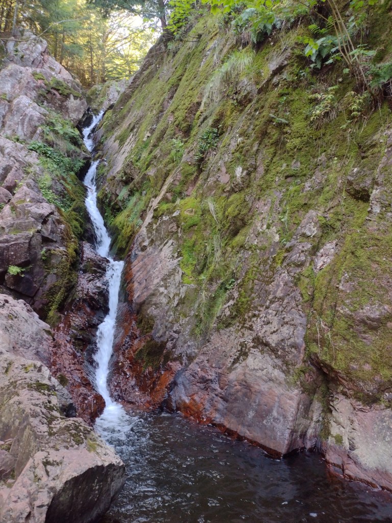
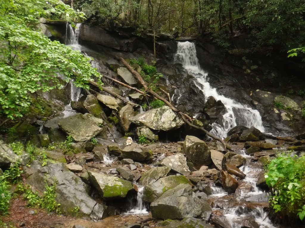
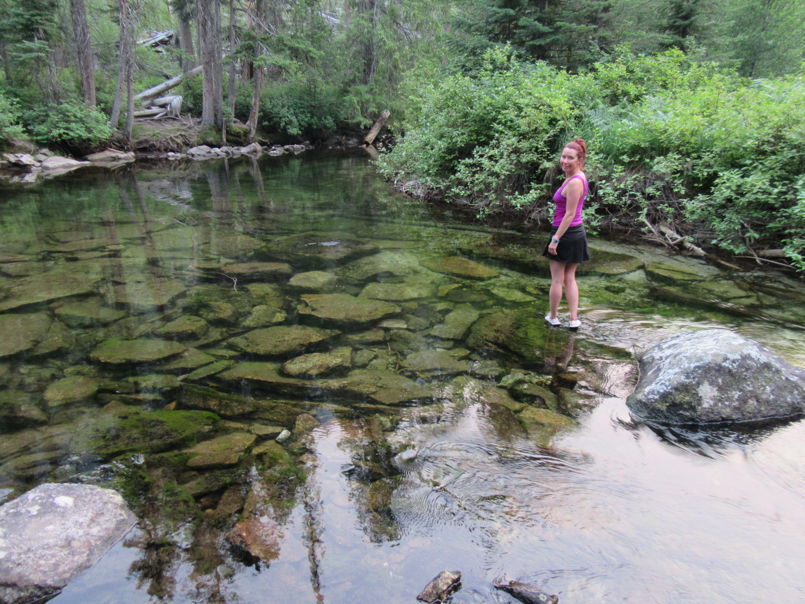
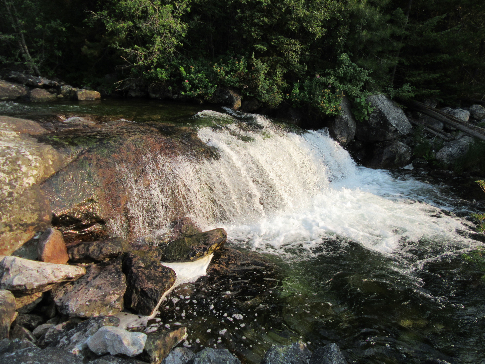
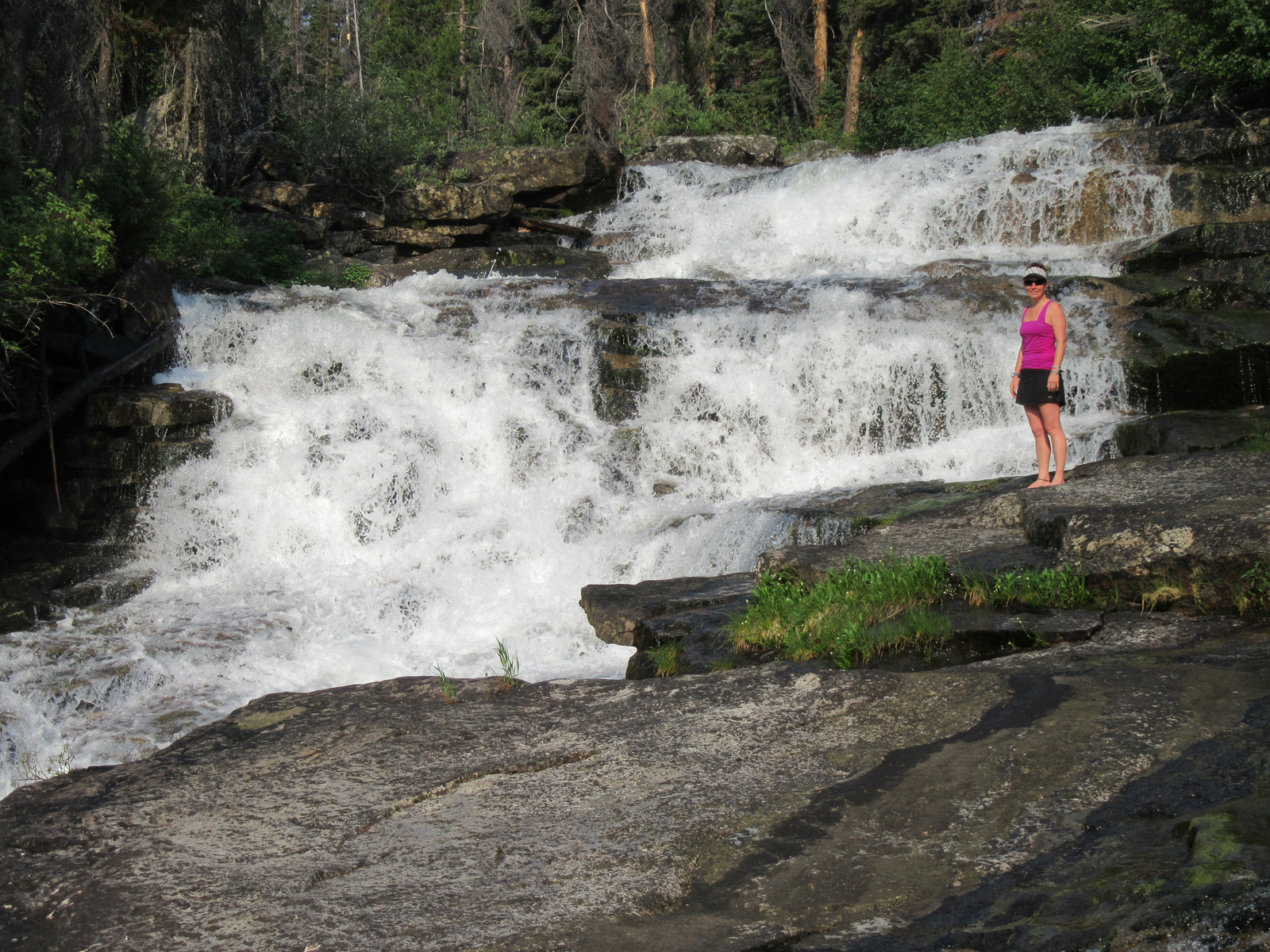
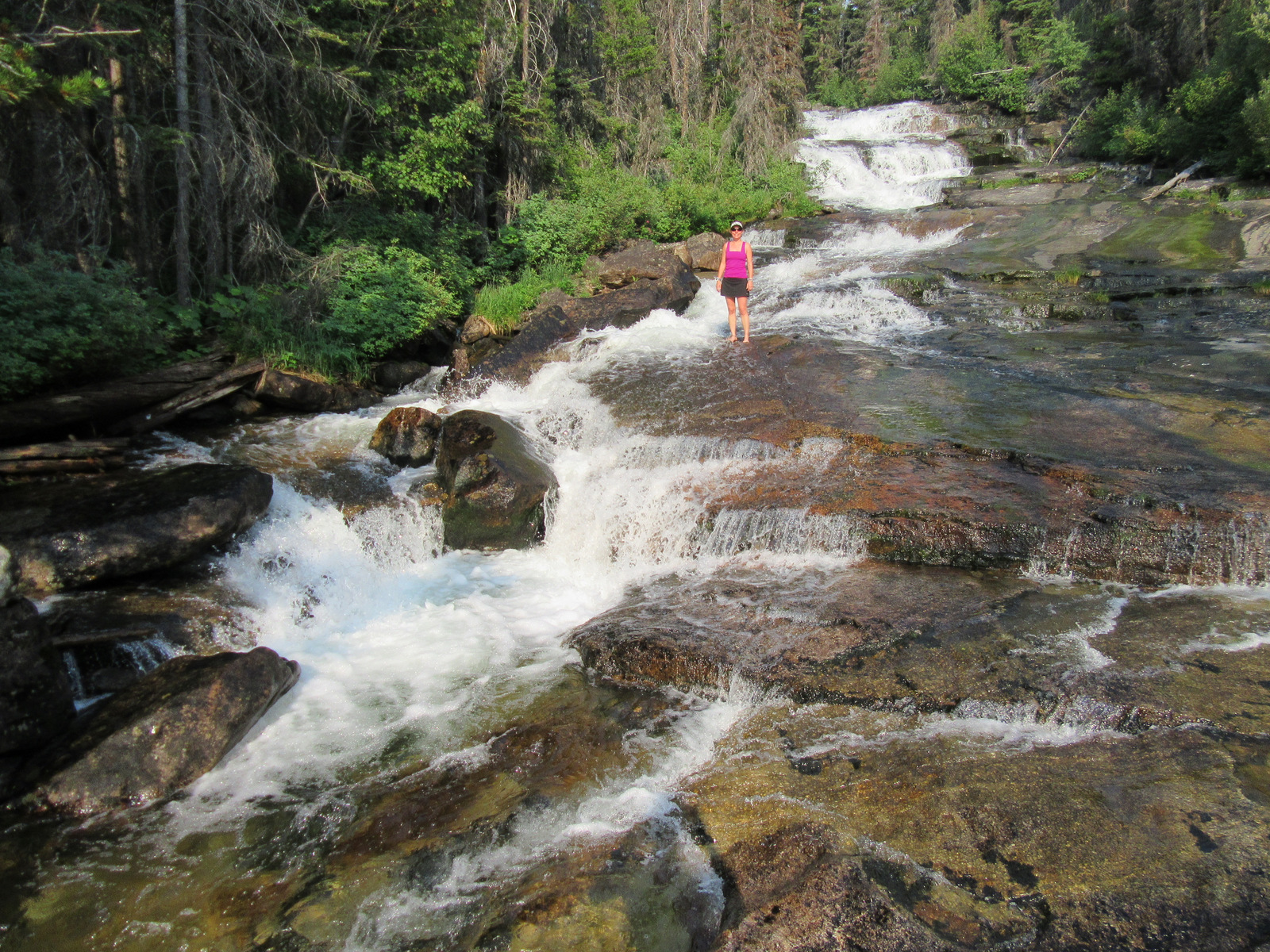
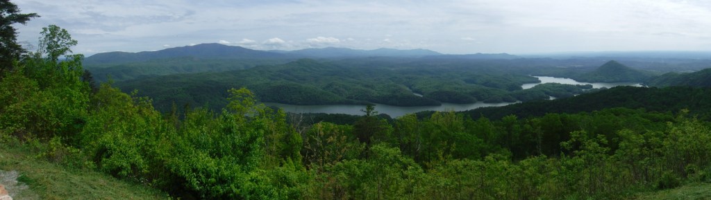
Cherokee National Forest is celebrated for its numerous waterfalls, two highlights being 60-foot-tall Margarette Falls and 65-foot Benton Falls, both accessible by short hikes. If you visit during the fall foliage season, popular driving routes include the 26-mile Ocoee Scenic Byway and 43-mile Cherohala Skyway that climbs over 4,500 feet in elevation into North Carolina’s Nantahala National Forest. We were intrigued by reading about the Conasauga River Blue Hole, where visitors can snorkel with fish and turtles in the shallows and deep pools.
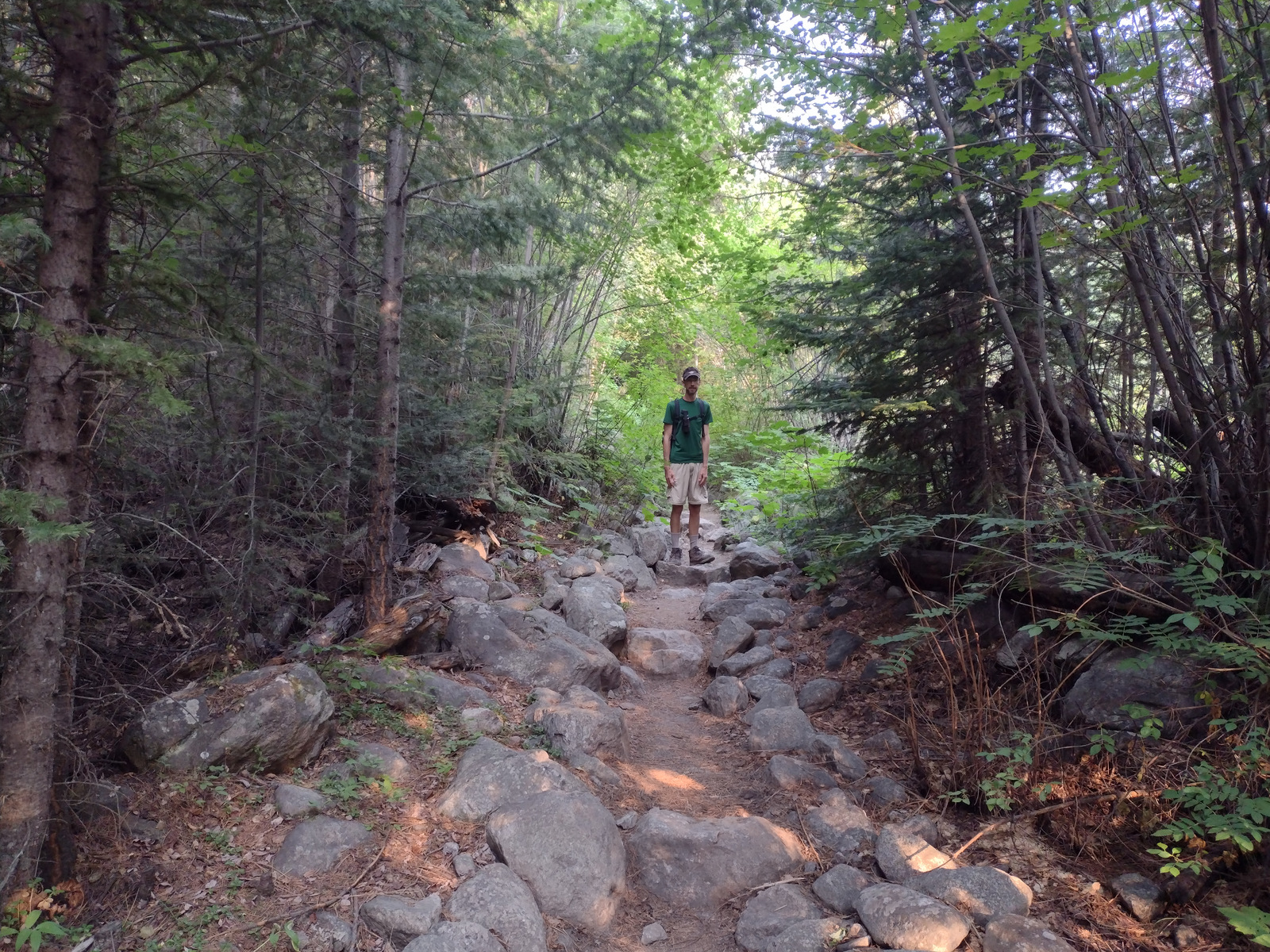
Best Trail
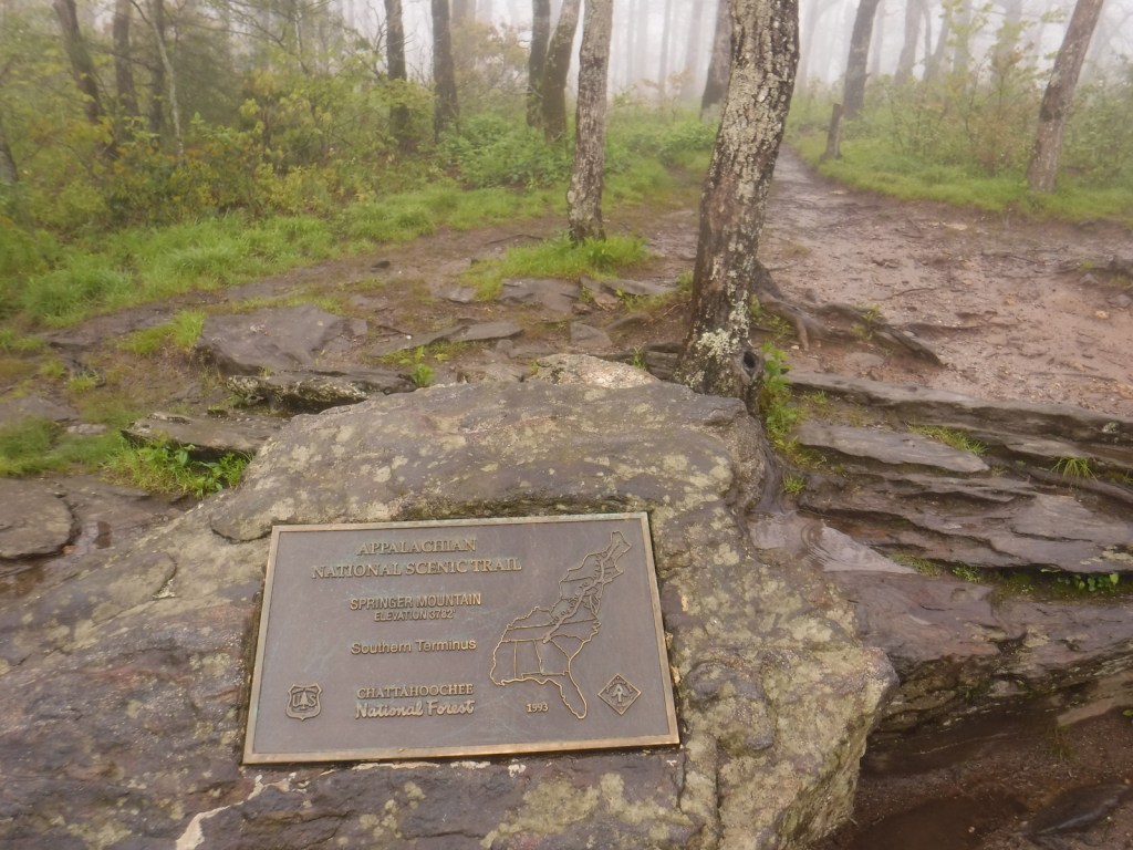
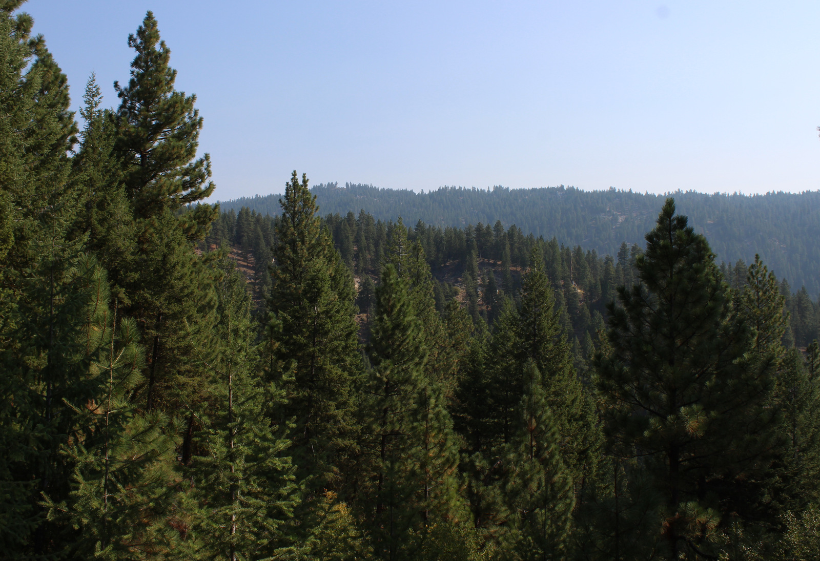
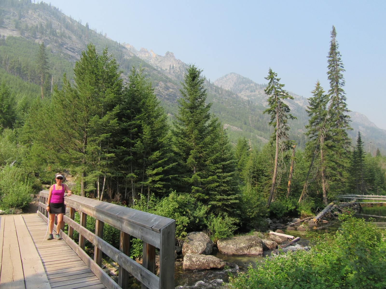
On the north side of Ocoee Lake, the Clemmer Trailhead is located right along Highway 30, a quarter mile off Highway 64. From here one trail follows picturesque Rock Creek Gorge, which is known for its waterfalls. Mountain bikers can follow several other trails and connect into the trail system around Benton Falls and McCamy Lake in the Chilhowee Recreation Area. Altogether, the National Forest boasts 700 miles of trail, including a famous stretch of the Appalachian National Scenic Trail through the Roan Highlands.
Watchable Wildlife
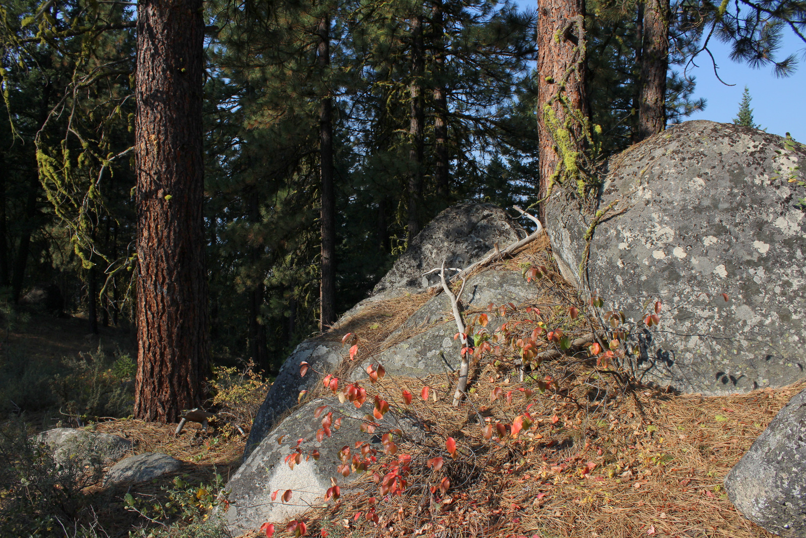
Large mammals found in Cherokee National Forest include white-tailed deer, raccoons, skunks, opossums, river otters, beavers, squirrels, bobcats, red foxes, gray foxes, coyotes, and black bears. In addition to songbirds common to eastern forests, watch the skies for turkey vultures, peregrine falcons, bald eagles, and a variety of hawks. This area is known for its high diversity of salamanders, including hellbenders and Jordan’s salamanders. This region also has many reptiles, like eastern box turtles, common snapping turtles, southeastern five-lined skinks, timber rattlesnakes, northern copperheads, and rat snakes (like the one we saw on the Benton Falls Trail). The many streams and rivers support rainbow, brook, and brown trout, while lakes have largemouth bass, bluegills, and crappies.
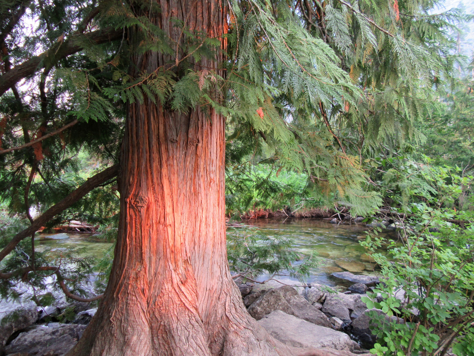
Instagram-worthy Photo
The whitewater rapids are less intense on the Hiwassee River, which is also followed by Highway 30, the 21-mile long John Muir National Recreation Trail, and a portion of the 300-mile Benton MacKaye Trail.

Peak Season
Summer and fall
Fees
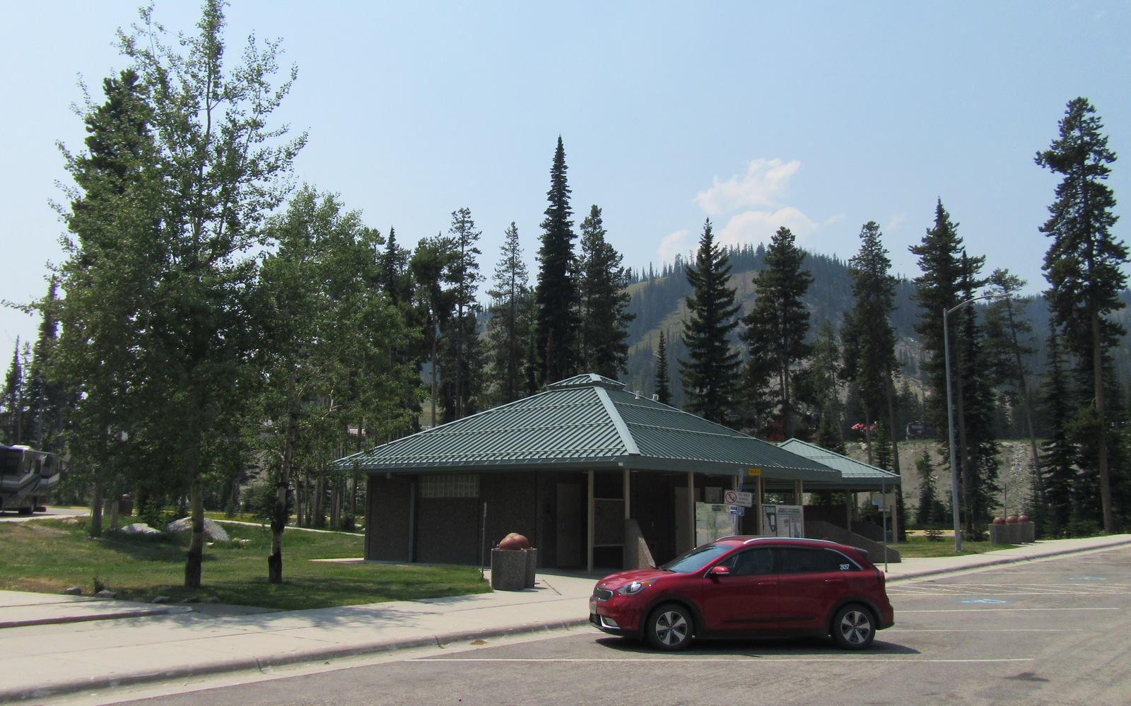
There is a $3 day-use fee at the Chilhowee Recreation Area and there are likely fees to park elsewhere in this massive National Forest.
Road Conditions
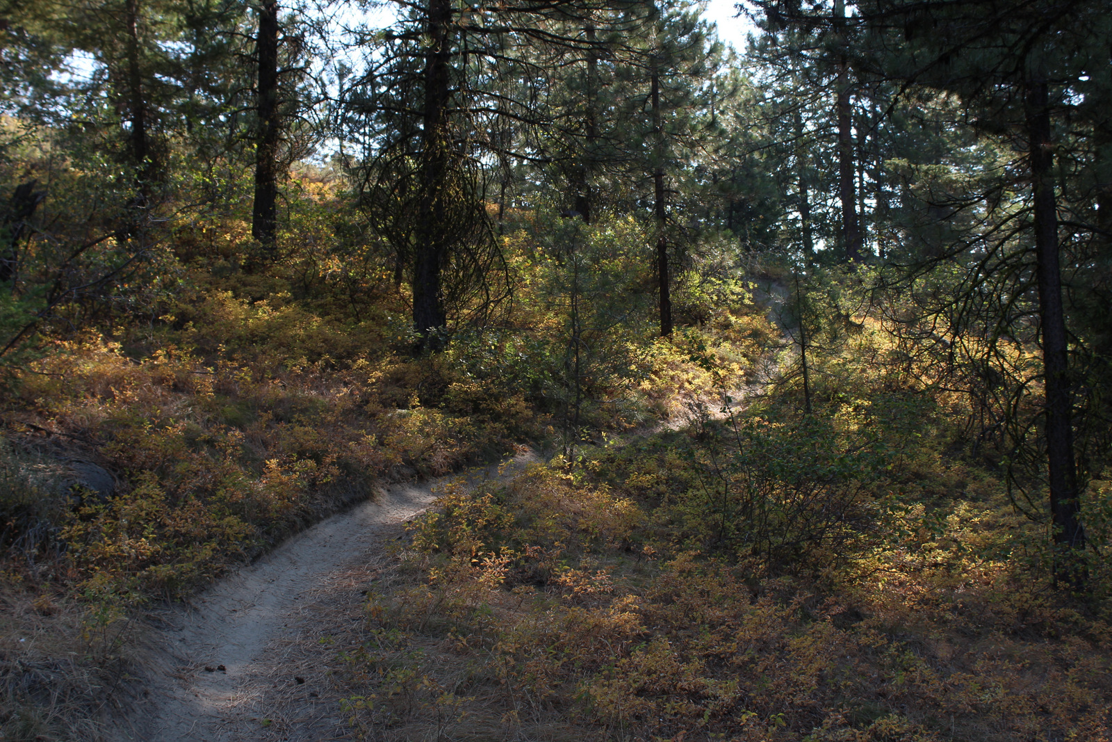
The scenic byways we drove were all paved, but we found the gravel road up to Chilhowee Recreation Area to be rough and steep, though still easy enough for any passenger car.
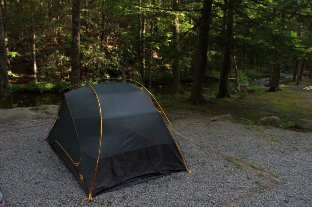
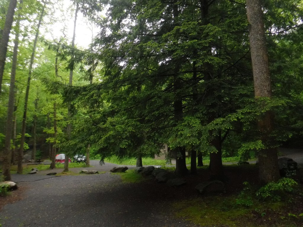
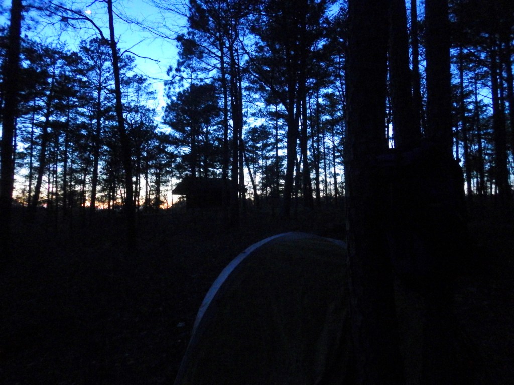
Camping
There are countless campgrounds in Cherokee National Forest, but Chilhowee Campground near McKamy Lake seemed nice and provided access to an extensive trail system.
Wilderness Areas
Bald River Gorge Wilderness
Big Frog Wilderness (also in Chattahoochee National Forest)
Big Laurel Branch Wilderness
Citico Creek Wilderness
Cohutta Wilderness (also in Chattahoochee National Forest)
Gee Creek Wilderness
Joyce Kilmer-Slickrock Wilderness (also in Nantahala National Forest)
Little Frog Mountain Wilderness
Pond Mountain Wilderness
Sampson Mountain Wilderness
Unaka Mountain Wilderness
Related Sites
Andrew Johnson National Historic Site (Tennessee)
Manhattan Project National Historical Park (Tennessee-New Mexico-Washington)
Chickamauga and Chattanooga National Military Park (Georgia)
Nearest National Park


Conifer Tree Species
eastern hemlock, eastern white pine, loblolly pine, shortleaf pine, Table Mountain pine, pitch pine
Flowering Tree Species
tulip-poplar, sassafras, flowering dogwood, mountain laurel, pawpaw, American beech, white basswood, sweet buckeye, sugar maple, red maple, mountain maple, moosewood maple, yellowwood, yellow birch, cucumber magnolia, black cherry, sourwood, pale hickory, mockernut hickory, rock chestnut oak, scarlet oak, black oak, white oak, southern red oak, Catawba rhododendron, yellow birch, sweet bay magnolia, white ash, mountain-ash, mountain-laurel
Explore More – The National Forest’s Ocoee Whitewater Center hosted events during the Summer Olympics in what year?


Learn more about Cherokee and the 154 other National Forests in our new guidebook Out in the Woods

We are a participant in the Amazon Services LLC Associates Program, an affiliate advertising program designed to provide a means for us to earn fees by linking to Amazon.com and affiliated sites.