Overview
Bisecting the two sections of North Cascades National Park in northern Washington is Ross Lake National Recreation Area. The incredibly scenic Highway 20 (closed seasonally) cuts through the mountains here, less than two hours from Seattle. The rainshadow effect is readily apparent to anyone who crosses these mountains from the lush west to the arid eastern portion of the state. Access to the only boat ramp on Ross Lake actually requires a drive through Canada, but you can also pick up a water taxi near Diablo Dam.
Highlights
Diablo Lake Overlook, Gorge Creek Falls, Ross Lake Resort, Sourdough Mountain Trail
Must-Do Activity
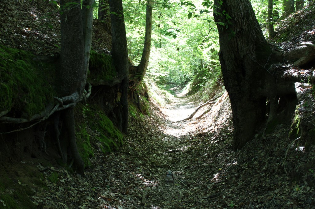
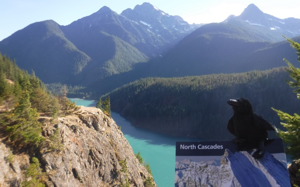
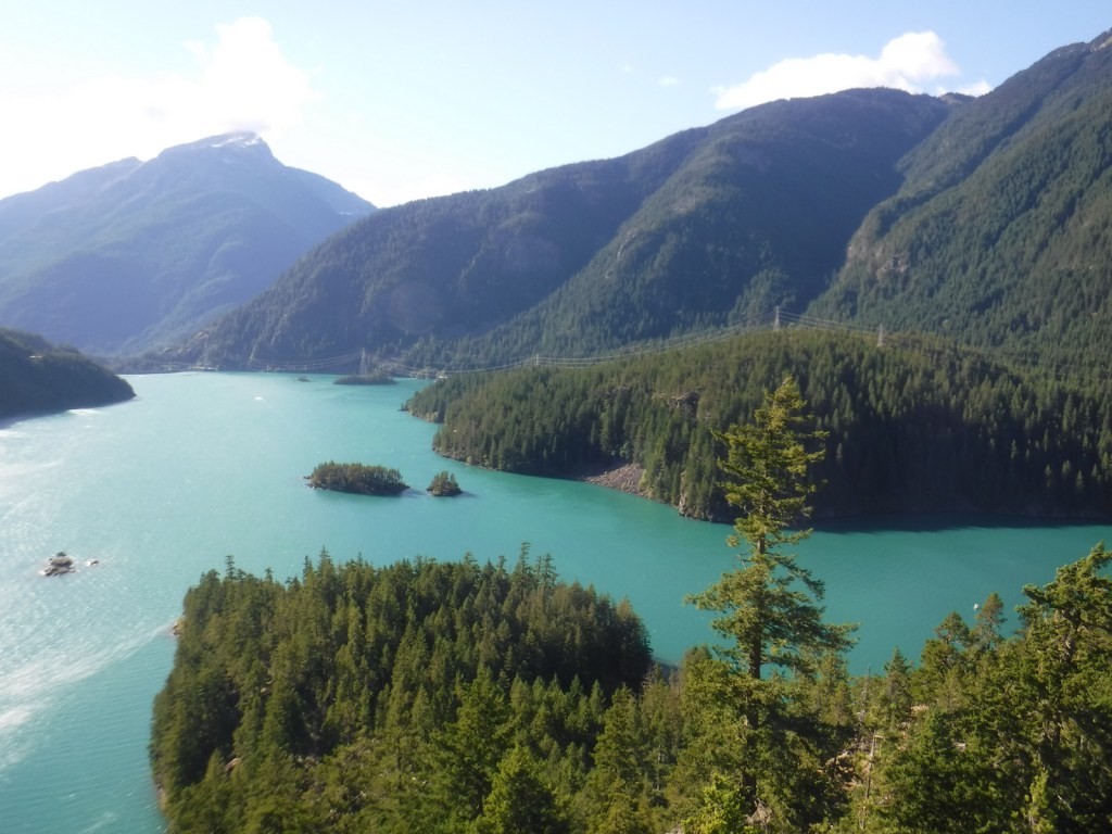
If coming from Seattle, start your visit at the North Cascades National Park Visitor Center on the scenic North Cascades Highway (20). Ross Lake National Recreation Area contains three hydroelectric reservoirs, which have an interesting turquoise color due to glacial silt, especially evident at Diablo Lake Overlook. Nearby, Colonial Creek Campground offers a peaceful forest in which to spend the night and a good jumping off place for a day hike on Thunder Creek or Fourth of July Trails through old-growth forests with colossal mushroom conchs and giant banana slugs.
Best Trail
Summiting Desolation Peak is often found on the bucket lists of the writer Jack Kerouac’s biggest fans, as he did some of his best writing while stationed as a fire lookout here in 1956. The observation tower is not far from the Canadian border and the trek is a daunting task, typically utilizing a water taxi to cross Ross Lake.
Instagram-worthy Photo
Do not drive past Diablo Lake Overlook, an awe inspiring and usually gusty stop along Highway 20. The craggy heights of the geologically young mountains surrounding this spectacular reservoir are magnificent to behold, yet forbidding to enter.
Peak Season
Late summer
Hours
https://www.nps.gov/noca/planyourvisit/hours.htm
Fees
None
Road Conditions
The North Cascades Highway (20) is typically closed east of Ross Dam from mid-November through mid-April (or later). The unpaved road to Thornton Lakes Trailhead is not suitable for trailers.
Camping
Colonial Creek Campground (164 sites) is only one option, additionally there are Newhalem Creek (119 sites), Goodell Creek (22 sites), and Hozomeen (122 sites accessed via a 40-mile gravel road from Hope, British Columbia). For the full backcountry experience, pick up a free backpacking permit at the Wilderness Information Center in Marblemount, Washington.
Related Sites
Lake Chelan National Recreation Area (Washington)
Lake Roosevelt National Recreation Area (Washington)
Klondike Gold Rush National Historical Park (Alaska-Washington)

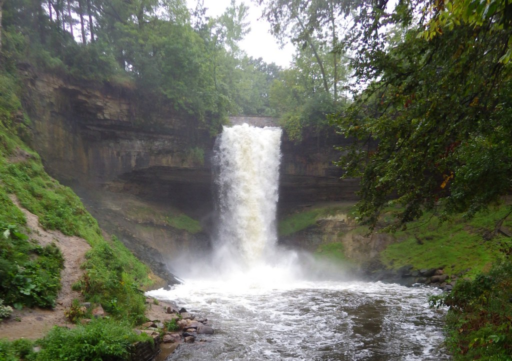
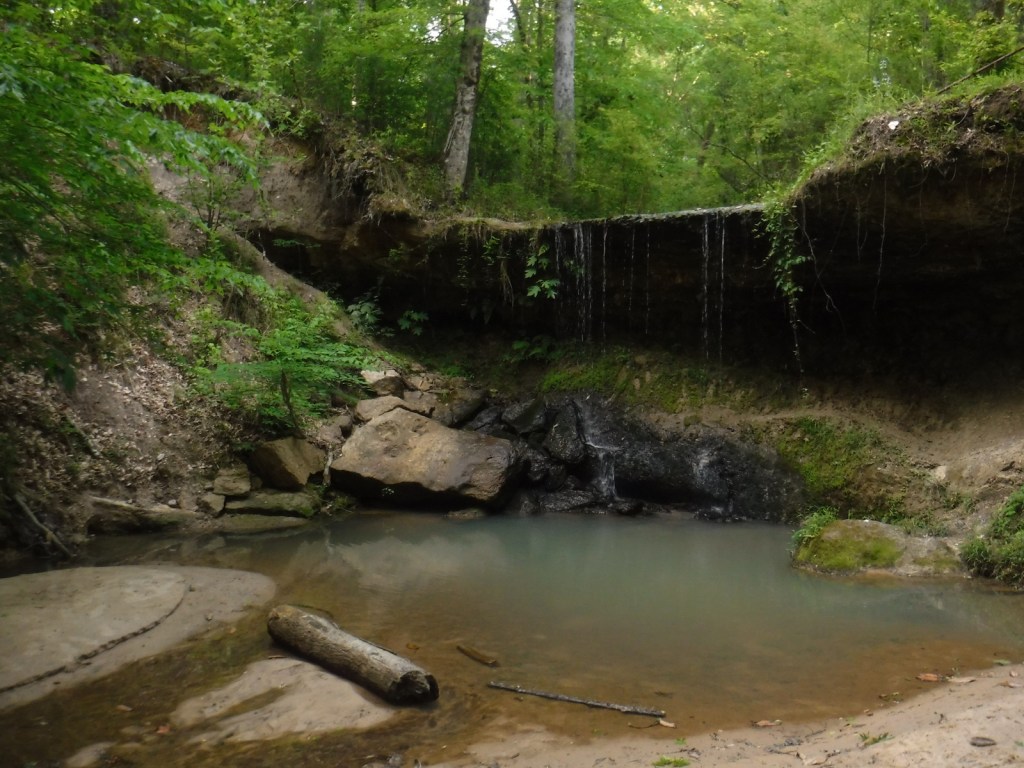
Gorge Creek Falls 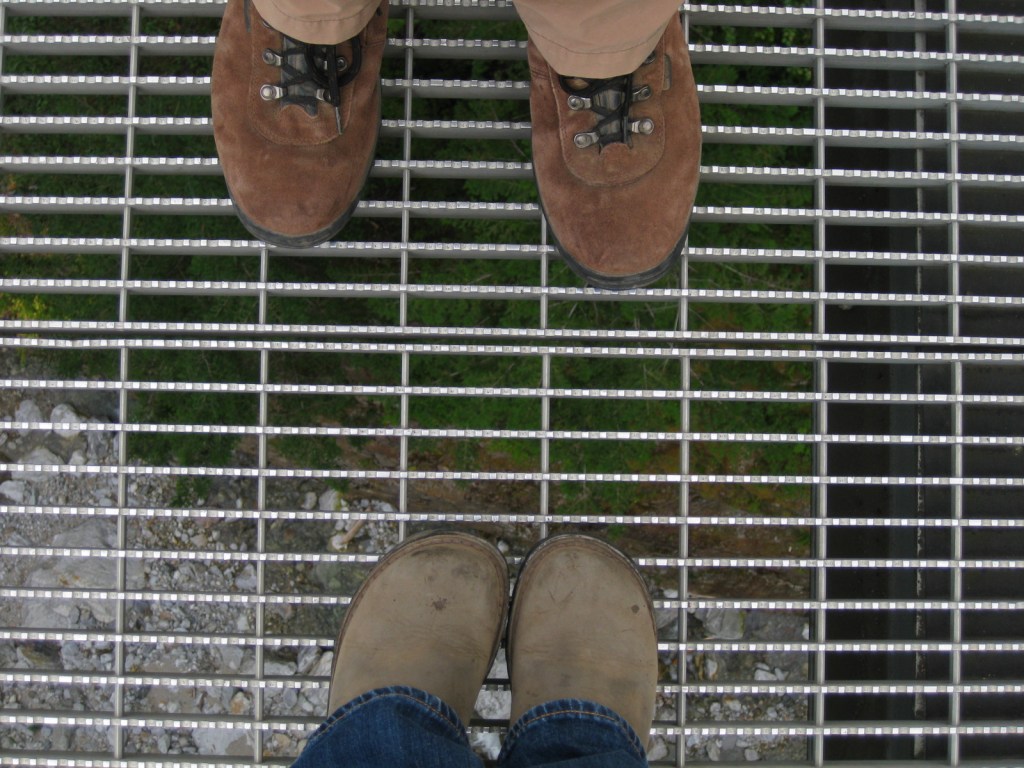
View looking down from a walkway at Gorge Creek Falls 

Tiff setting up in Colonial Creek Campground 
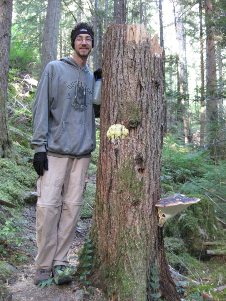
Scott on the Fourth of July Trail 
Fall colors of Oregon-grape 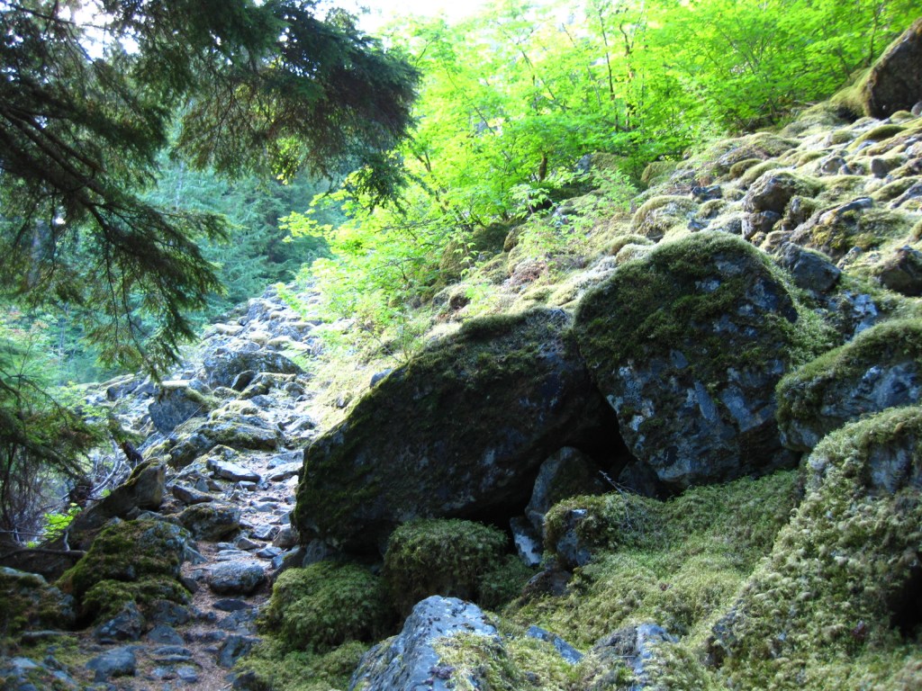
Fourth of July Trail 
Tiff at windy Diablo Lake Overlook 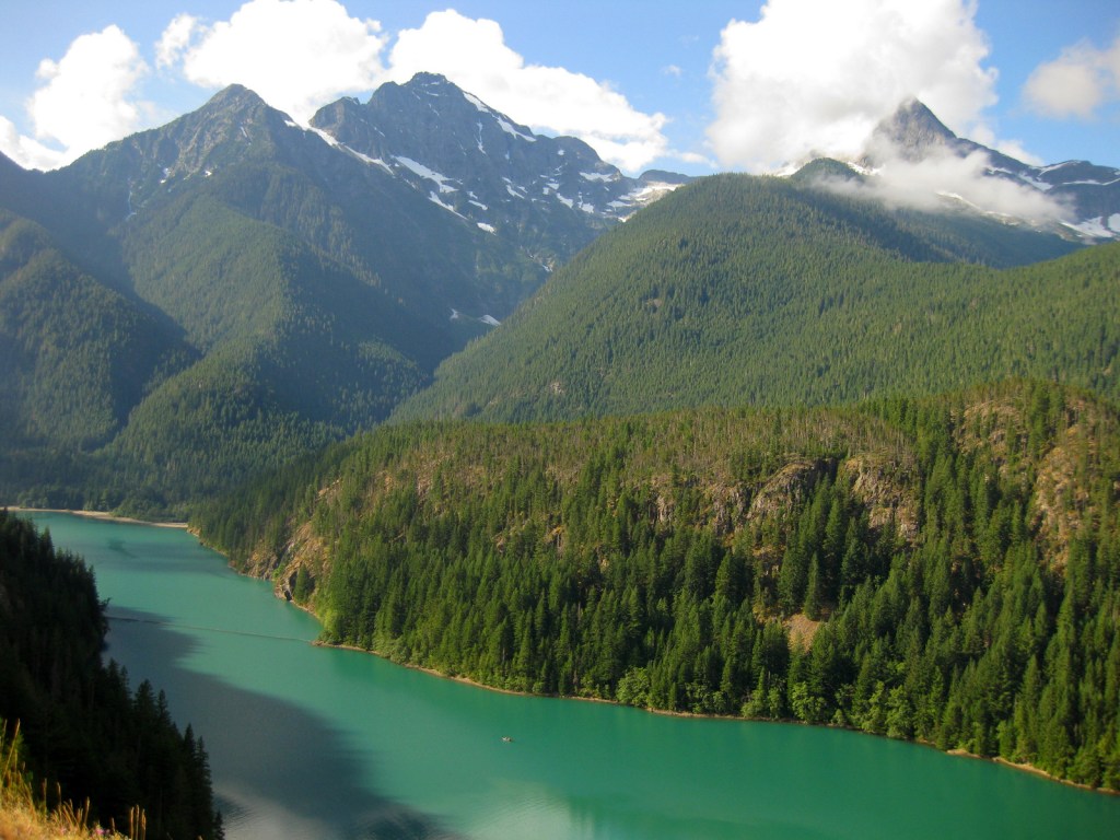

Tiff with a giant banana slug in the North Cascades National Park visitor center 
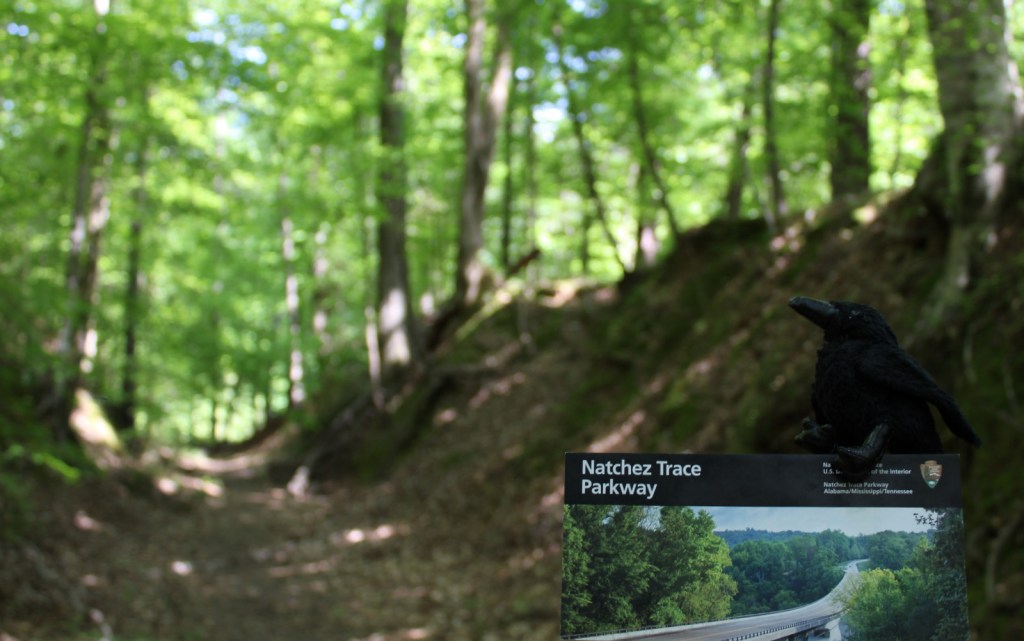
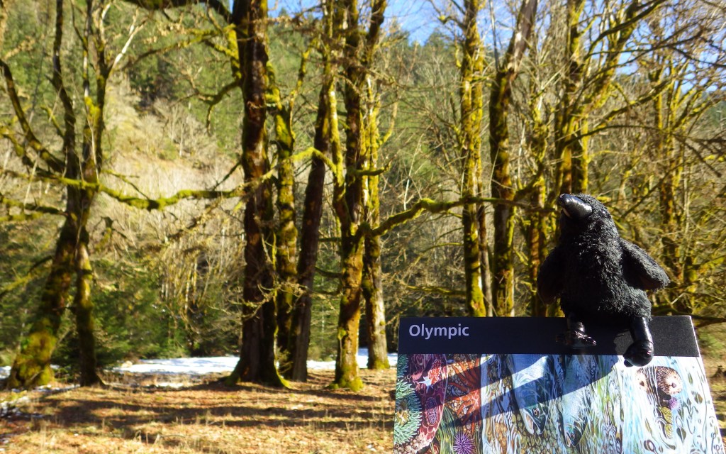
Raven about the visitor center
Explore More – Only two miles across at its widest point, how long is Ross Lake?