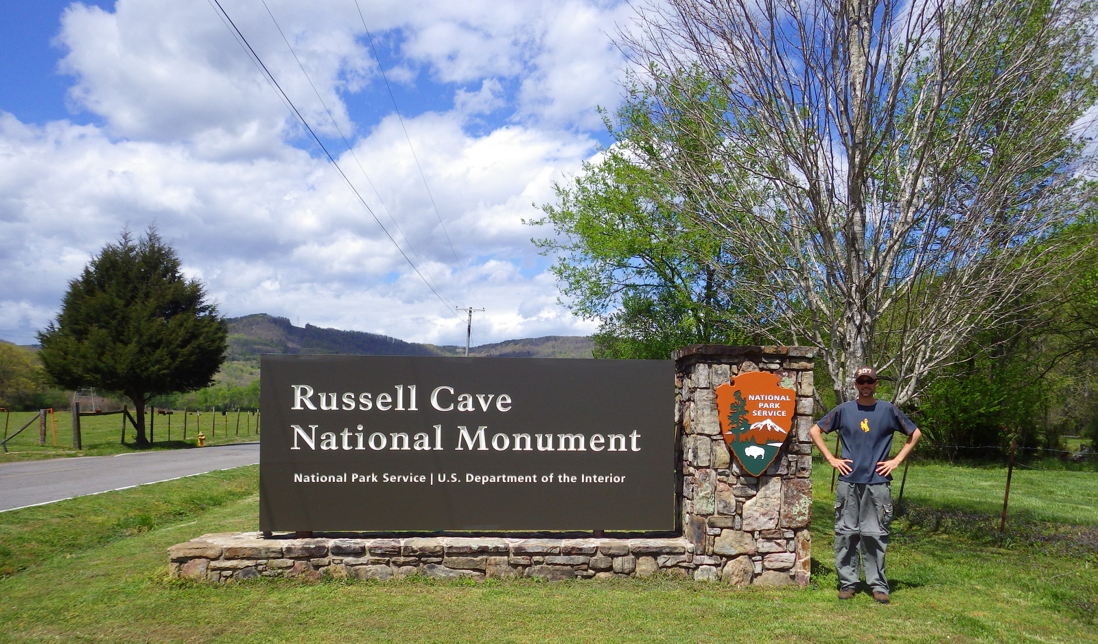
Overview
Humans have been visiting Russell Cave in northeast Alabama since about the time its limestone roof collapsed creating an entrance around 10,000 years ago. A timeline of human invention was preserved in the floor of this hunting camp for millennia, from atlatls to bows, pottery to pump drills. The park rangers were the friendliest we encountered during Pretirement and often offer demonstrations of prehistoric tools and weapons.

Highlights
Museum with American Indian artifacts, boardwalk to cave entrance, nature trails
Must-Do Activity
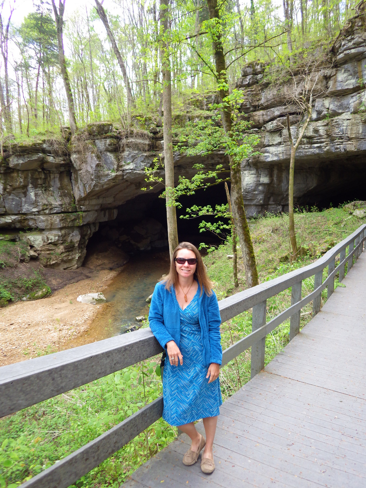
There are a select few artifacts displayed on site in the National Park Service (NPS) visitor center. From there a short boardwalk leads through the forest to an overlook of the archaeological digs at the cave entrance, which you cannot enter.
Best Trail
Two nature trails (0.6 and 1.2 miles long) split off from the boardwalk to explore the surrounding hills.
Instagram-worthy Photo
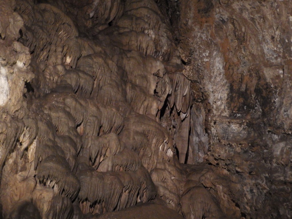
This cave is not famous for its pretty cave formations, but for its incredible archaeological record. If you want to see beautiful stalactites and stalagmites, I recommend you head west to the impressive Cathedral Caverns State Park.
Peak Season
Summer, when it can be muggy and buggy.
Hours
https://www.nps.gov/ruca/planyourvisit/basicinfo.htm
Fees
None
Road Conditions
All roads paved, but RVs are not recommended on Highway 156 if entering from the north.
Camping
DeSoto State Park has a campground and primitive camping is allowed at three sites in nearby Little River Canyon National Preserve.


A limestone sinkhole on a nature trail 
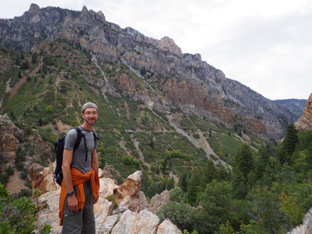
Scott with the champion blue ash tree (the largest in Alabama)
Explore More – How far down into the cave floor did archaeologists dig in the 1950s?