Tag Archives: trail

Mojave National Preserve

Overview

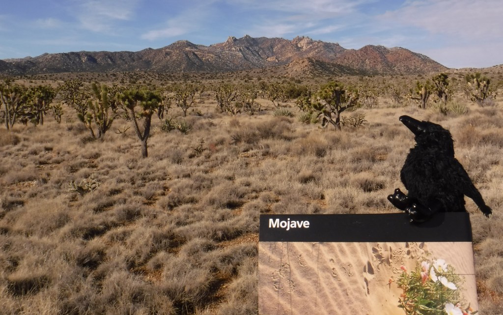
Mojave National Preserve is a massive 1.6-million acres of desert bounded by Interstate 15 to the north and Interstate 40 to the south.  Passed by millions of commuters every year, it does not take many miles of driving to leave behind the bustling freeways for a quiet landscape.  Species diversity is high here given its elevation range from 800 to 7,929 feet and its place at the intersection of three deserts: the Mojave, Great Basin, and Sonoran.  Watch for desert tortoises, Mojave rattlesnakes, roadrunners, ravens, kangaroo rats, mountain lions, mule deer, and some of the 1,000 bighorn sheep that reside in the preserve.
Highlights

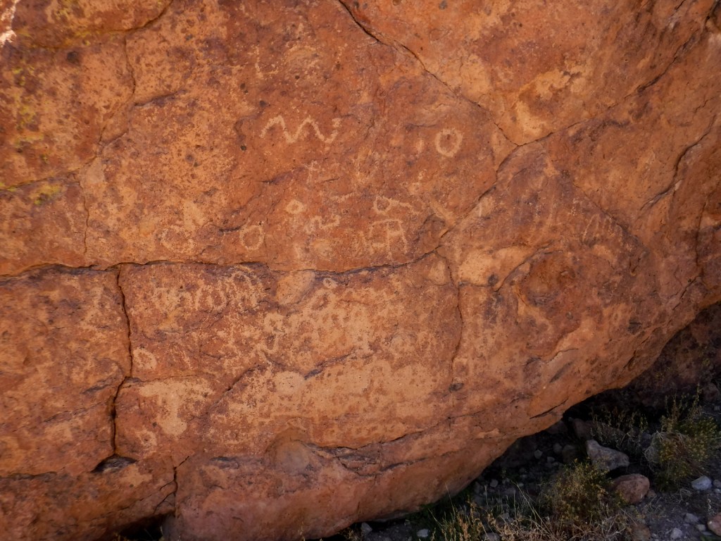
Kelso Depot, film, Kelso Dunes, Hole-in-the-Wall Nature Trail, Rings Loop Trail

Must-Do Activity

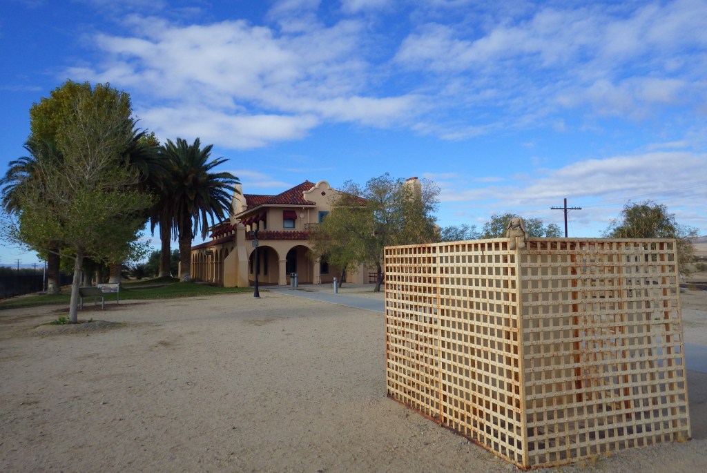
If you are driving on I-15 between California and Nevada consider entering the preserve via the Cima Road exit, with a first stop at its gas station’s interesting waterfall urinal in the men’s restroom.   From there drive south on a paved road into a dense Joshua tree forest on the gently sloping flanks of the enormous Cima Dome (an extinct volcano) and then stop at Kelso Depot where the National Park Service (NPS) operates a visitor center and museum.  From there you can continue south to the beautiful Kelso Dunes or take the paved Kelbaker Road back to Interstate 15 at Baker, home of the world’s tallest thermometer.

Best Trail

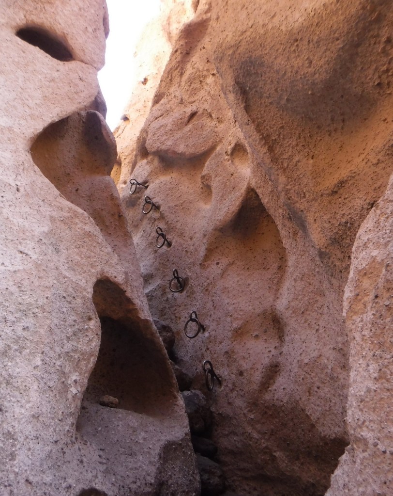
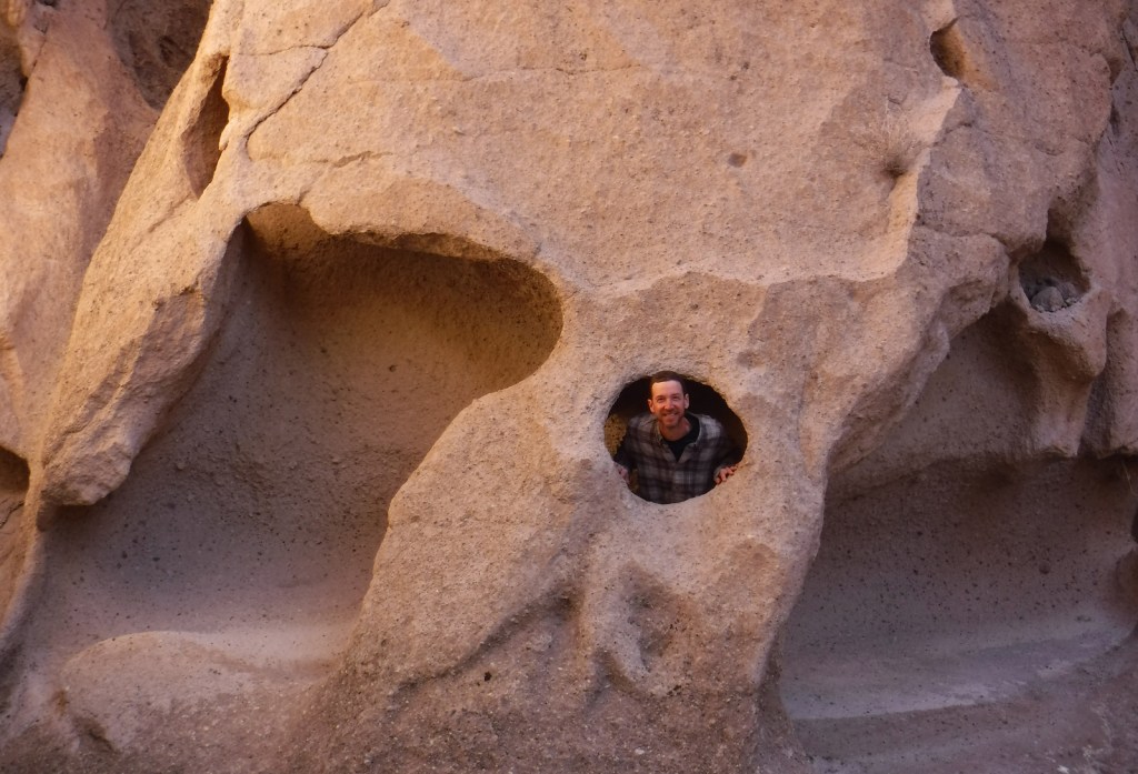
The one-mile Rings Loop Trail has metal rings cemented into its canyon walls in some places to help you ascend and descend steep portions.  Hole-in-the-Wall Nature Trail and the six-mile Barber Peak Loop Trail are also found in this area near the NPS campgrounds.

Instagram-worthy Photo

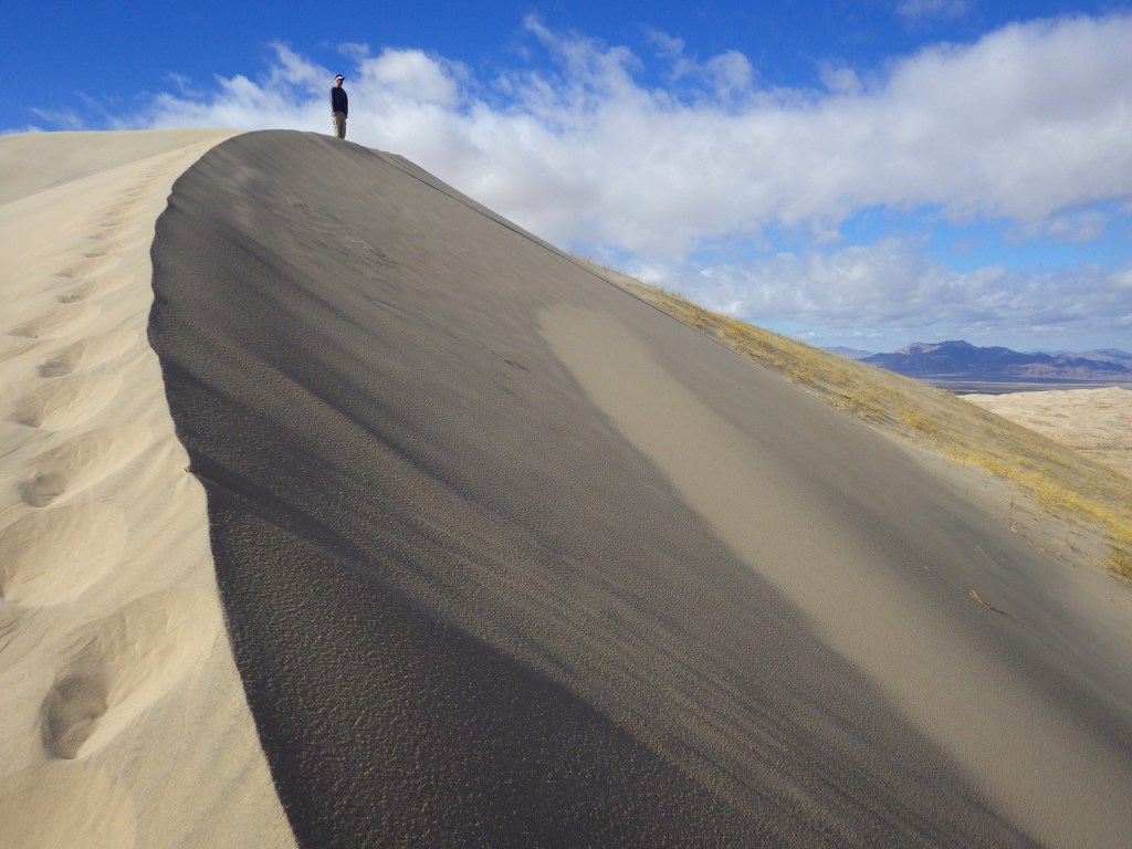
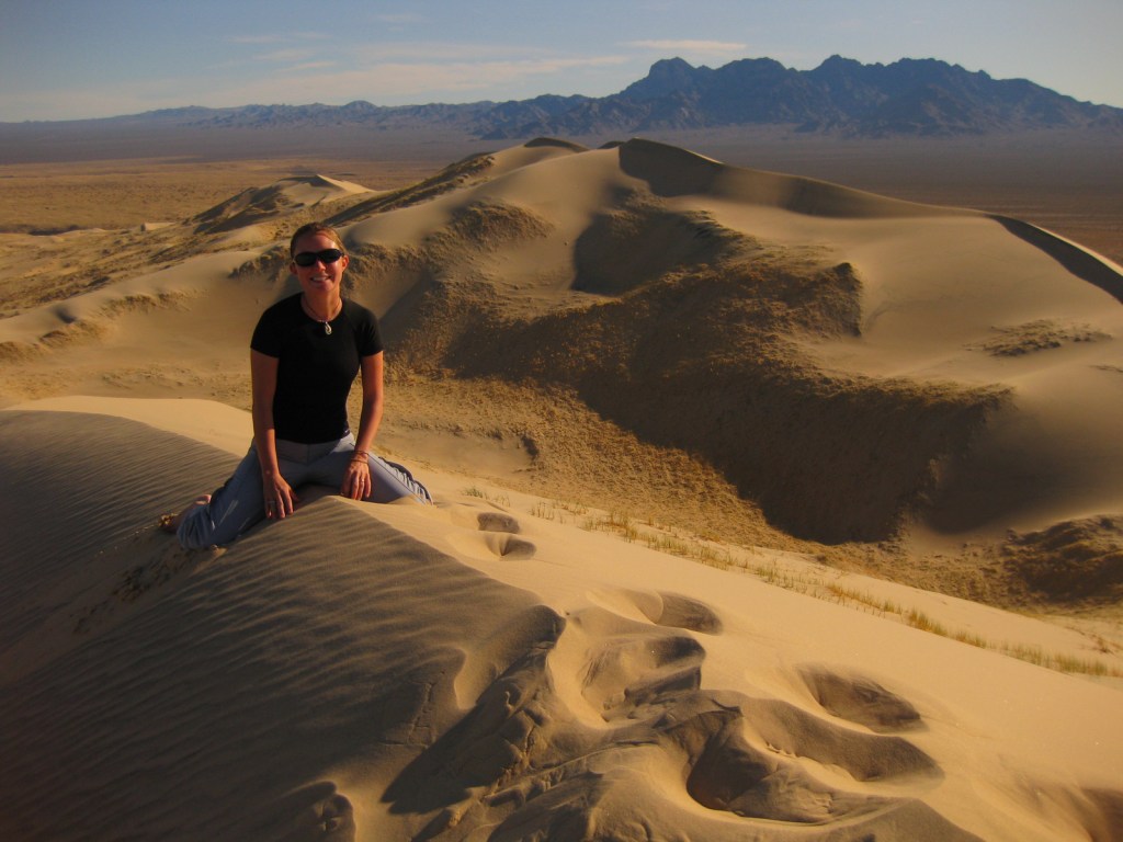
We love sand dunes (see our Top 10 list) and one of our favorites is the nearly 700-foot tall Kelso Dunes, which create a booming sound when the sand shifts and moisture conditions are right.

Peak Season

Spring and fall

Hours

https://www.nps.gov/moja/planyourvisit/hours.htm

Fees

None

Road Conditions

The main roads are paved, however, most of the 1,000 miles of roads are unpaved and some of them require a high-clearance vehicle, especially if you want to access neighboring Castle Mountains National Monument.

Camping

Dispersed camping is allowed throughout most of the preserve, but there are also NPS campgrounds around the Hole-in-the-Wall Ranger Station.

Related Sites

Castle Mountains National Monument (California)

Joshua Tree National Park (California)

Death Valley National Park (California)
Explore More – How many acres of Wilderness are designated within Mojave National Preserve?

Saguaro National Park

Saguaro National Park

Arizona

Managed by National Park Service

Established 1933 National Monument, 1994 National Park

91,716 acres

Website: nps.gov/sagu

Overview

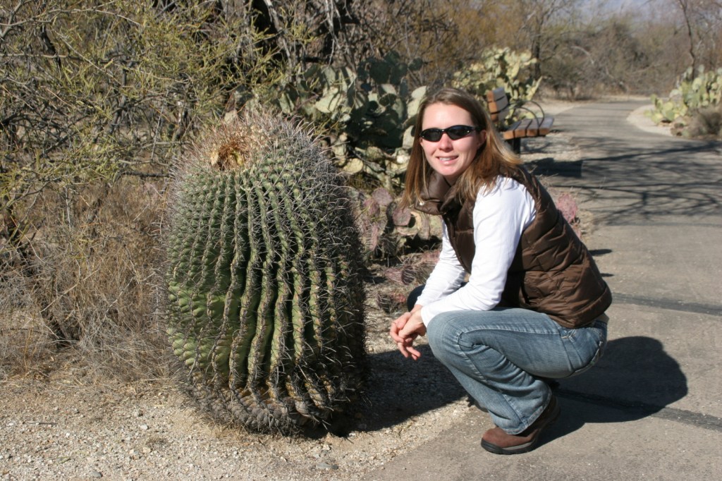
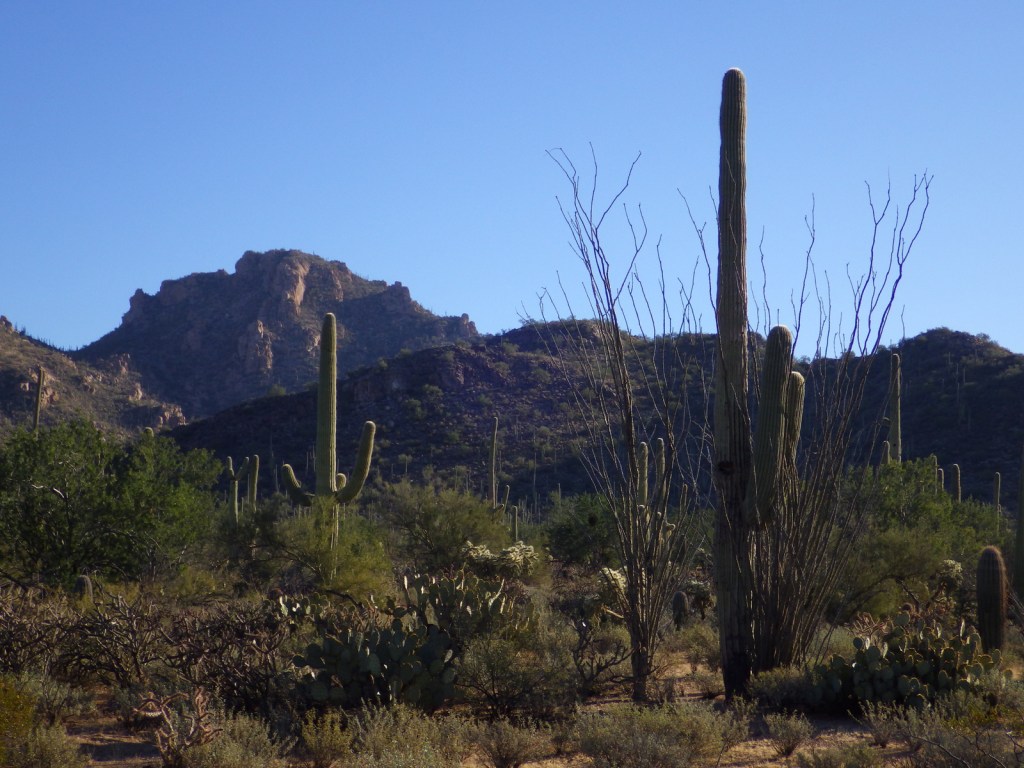
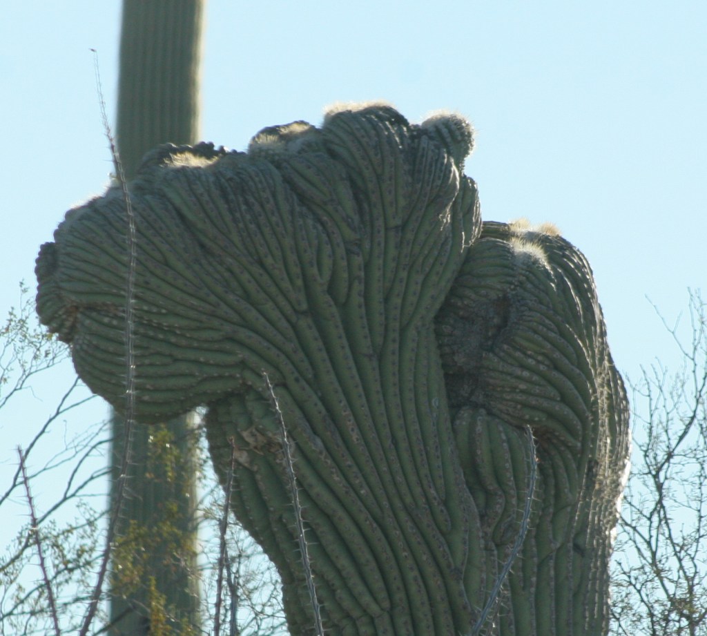
The only U.S. National Park within the expansive Sonoran Desert is divided into two separate districts east and west of Tucson, Arizona.  Its namesake cactus can reach 50 feet in height and weigh more than 16,000 pounds when swelled with water during the rainy season.  Saguaros do not typically branch their first arms until age seventy-five and they can live over 200 years.  They share their home with other cacti that have cuddly names like teddybear cholla, hedgehog, barrel, staghorn cholla, and prickly pear.

Know someone who loves National Parks? Gift them our travel guide A Park to Yourself: Finding Solitude in America’s 63 National Parks. 

Highlights

Cactus Forest Drive, Desert Ecology Trail, Scenic Bajada Loop Drive, Desert Discovery Nature Trail

Must-Do Activity

There are National Park Service (NPS) visitor centers in both the Rincon Mountain District and Tucson Mountain District.  In each district, opportunities for visitors include scenic drives, handicap-accessible nature trails, and more strenuous hiking options.  Much of the wildlife is nocturnal in the hot desert, but watch for unique species like javelinas, ringtails, kangaroo rats, roadrunners, phainopeplas, desert tortoises, Gila monsters, and western diamondback rattlesnakes.

Best Trail

Hikers can find great overlooks of the surrounding mountains along the short Ridge View Trail in the eastern Rincon Mountain District of the park.

Instagram-worthy Photo

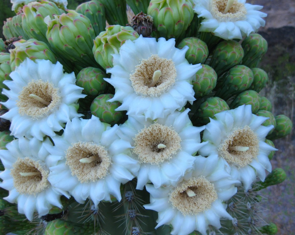
Winter is a great time to come to Saguaro National Park due to mild temperatures, but to see the desert in bloom the spring is best.  Saguaros typically bloom in early June, though their large white blooms are hard to photograph at the top of the tall cacti where moths, bats, and other pollinators can find them.

Peak Season

Spring

Hours

https://www.nps.gov/sagu/planyourvisit/hours.htm

Fees

$25 per vehicle or America the Beautiful pass

Road Conditions

In the Rincon Mountain District the Cactus Forest Drive is all paved, but in the Tucson Mountain District the Scenic Bajada Loop Drive is mostly a graded gravel road.

Camping

Only backcountry camping in designated sites (with a permit) is allowed in the National Park, but campgrounds are available at Tucson Mountain County Park just outside the western district and throughout Coronado National Forest which borders the eastern district.

Related Sites

Organ Pipe Cactus National Monument (Arizona)

Tumacacori National Historical Park (Arizona)

Chiricahua National Monument (Arizona)

This design we created to celebrate Saguaro National Park is available on a variety of products at Cafe Press and Amazon.

Explore More – Tohono O’odham Indians utilized saguaro fruit for jam, syrup, and wine; at what age do the cacti start flowering?

Know someone who loves National Parks? Gift them our travel guide A Park to Yourself: Finding Solitude in America’s 63 National Parks. 

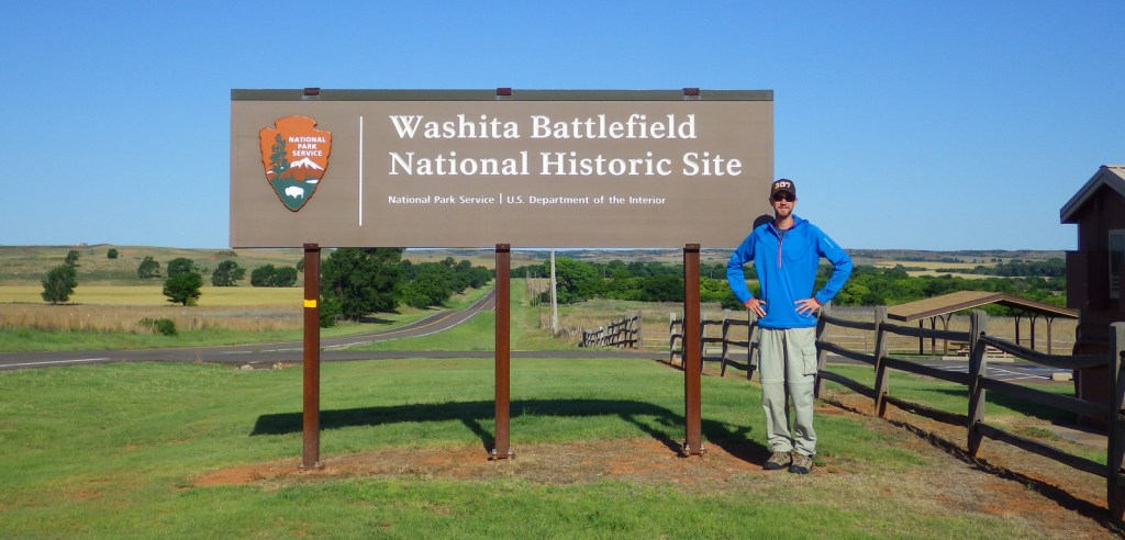
Washita Battlefield National Historic Site

Overview

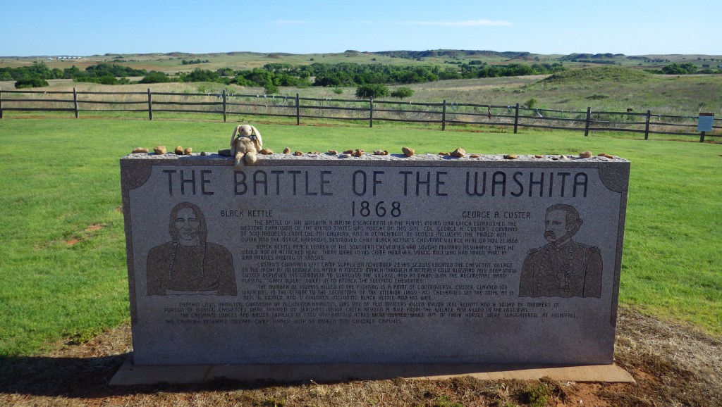
Many retaliatory acts occurred in the aftermath of the 1864 Sand Creek Massacre in Colorado, leading the U.S. Army to launch a campaign against the Cheyenne, Arapaho, and Kiowa following the signing of several peace treaties.  In November 1868, after unsuccessfully seeking protection at Fort Cobb, Cheyenne Chief Black Kettle and Arapaho Chief Big Mouth returned to their winter villages in the Washita River Valley.  The very next day a surprise attack was launched by Lieutenant Colonel George Custer, capturing 53 and killing thirty to sixty Cheyennes, including Black Kettle and his wife.  Under Major General Philip Sheridan’s policy of “total war,” approximately 800 horses were then slaughtered and the village burned. 

Highlights

Museum, film, interpretive trail

Must-Do Activity

The events that took place the morning of November 27, 1868 in western Oklahoma have been described either as a battle or a massacre.  A small National Park Service (NPS) visitor center with exhibits on the events is shared with the U.S. Forest Service’s Black Kettle National Grassland.  Located just down the road on Highway 47 is a self-guided walking tour of the prairie battlefield. 

Best Trail

The 1.4-mile hiking trail through the battlefield leaves from an overlook of the historic site down to the Washita River where trees grow.

Instagram-worthy Photo

The vegetation is typical of Oklahoma prairie with grasses, yucca, and Indian blanket (in bloom in late May).

Peak Season

Summer

Hours

https://www.nps.gov/waba/planyourvisit/hours.htm

Fees

None

Road Conditions

All roads paved

Camping

There are private campgrounds in Cheyenne, Oklahoma, or you can head 25 miles southeast to Foss State Park.

Related Sites

Black Kettle National Grassland (Oklahoma-Texas)

Sand Creek Massacre National Historic Site (Colorado)

Little Bighorn Battlefield National Monument (Montana)

Chickasaw National Recreation Area (Oklahoma)

Explore More – When was this National Historic Site authorized by Congress?

Pu‘ukohola Heiau National Historic Site

Overview

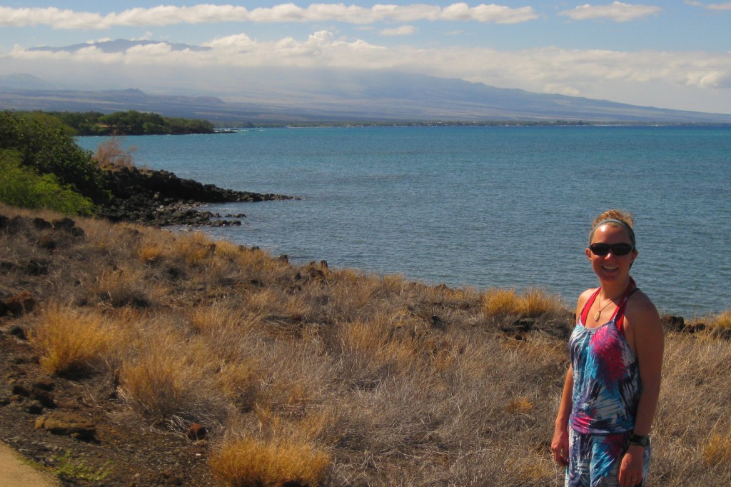
Located on the west coast of the Big Island of Hawai‘i, Pu‘ukoholā Heiau translates as “temple on the hill of the whale.”  Under the rule of Kamehameha I, the heiau was built in 1790-91 after a prophet told his aunt he needed to appease the family war god.  In 1810, after years of warfare, Kamehameha I finally became the first king of the unified Hawaiian Islands.  Following his death nine years later, his son abolished the kapu system of beliefs and the heiau fell into ruin.  This 86-acre site was added to the National Park Service (NPS) system in 1972.

Highlights

Pu‘ukoholā Heiau, Mailekini Heiau, Ala Kahakai National Historic Trail, John Young’s Homestead

Must-Do Activity

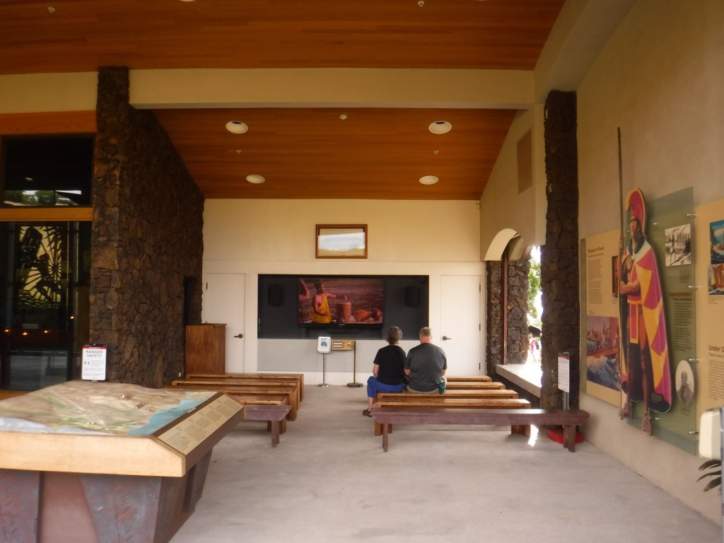
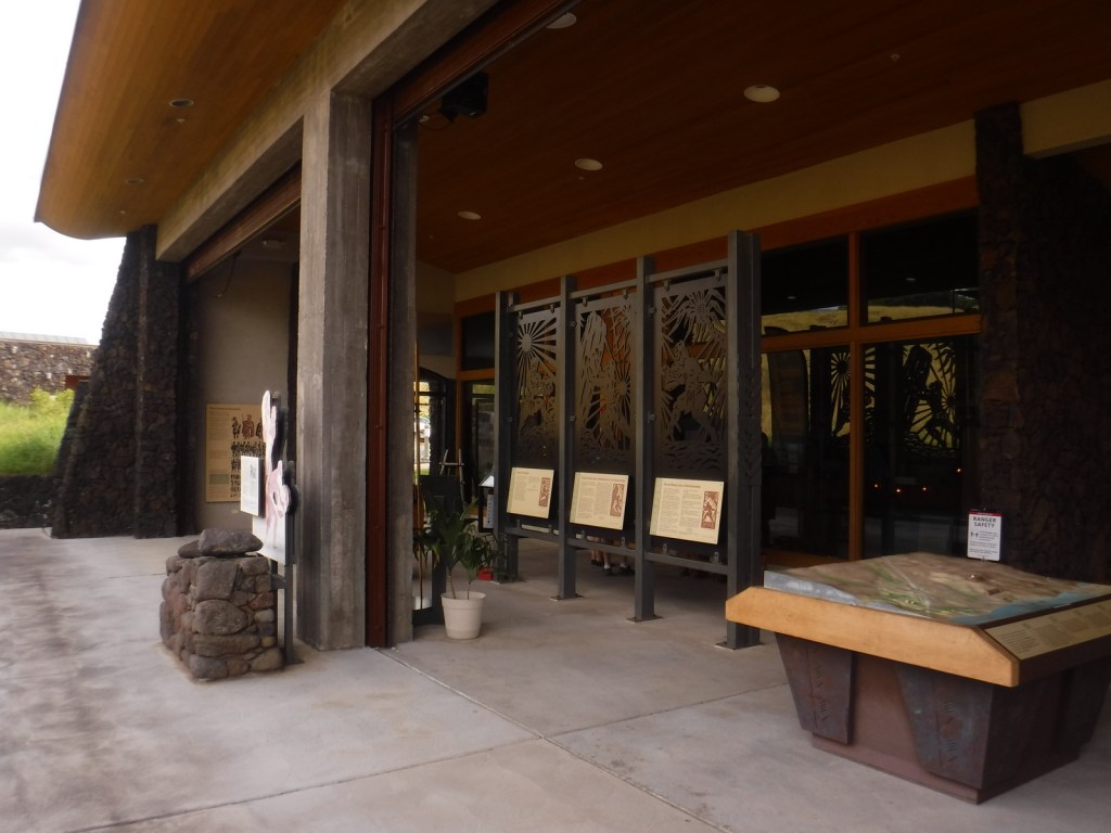
Start your visit at the NPS visitor center and check out the metal artwork that tells the story of the demi-god Maui.  Then walk the interpretive trail for views of several heiau, including the submerged Hale o Kapuni Heiau dedicated to the shark gods.  You can also park across Highway 270 and walk to the site of John Young’s homestead.  Young was a British sailor stranded on Hawai‘i in 1790 who became a trusted military advisor of Kamehameha I. 

Best Trail

A short portion of the 175-mile long Ala Kahakai National Historic Trail runs through this site, though at present most of the trail is not publicly accessible.

Instagram-worthy Photo

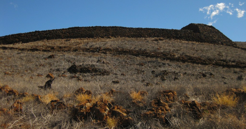
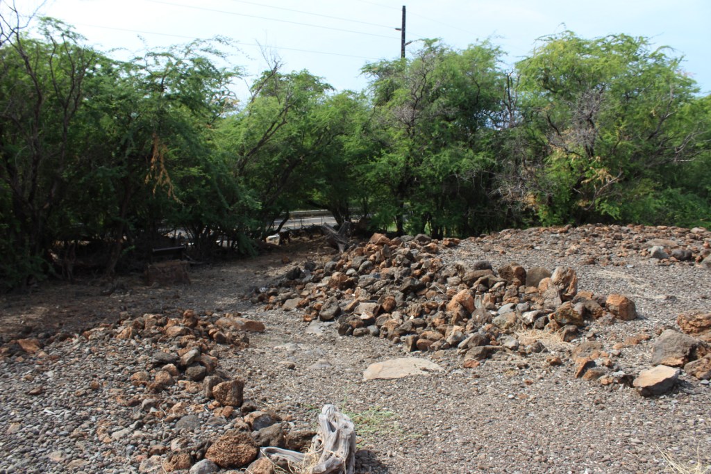
Pu‘ukoholā Heiau measures 224 by 100 feet with 20-foot high walls and was constructed without mortar by stacking volcanic rocks.  The heiau are closed to the public, but can be photographed from downhill.

Peak Season

Year round, but each August there are ceremonies held at the heiau.

Hours

https://www.nps.gov/puhe/planyourvisit/hours.htm

Fees

None

Road Conditions

All roads paved

Camping

Samuel Spencer County Park offers camping nearby, but reservations are required.

Related Sites

Pu‘uhonua o Honaunau National Historical Park (Hawai‘i)

Kaloko-Honokohau National Historical Park (Hawai‘i)

Hawai‘i Volcanoes National Park (Hawai‘i)

Explore More – The kikiako‘i (or stone leaning post) was at least six feet tall and used by chiefs to observe sharks feeding at Hale o Kapuni Heiau; when was it accidentally broken?

Sand Creek Massacre National Historic Site

Overview

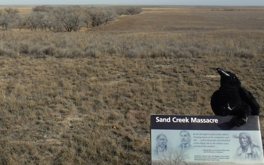
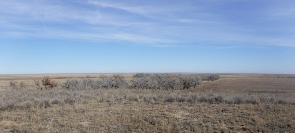
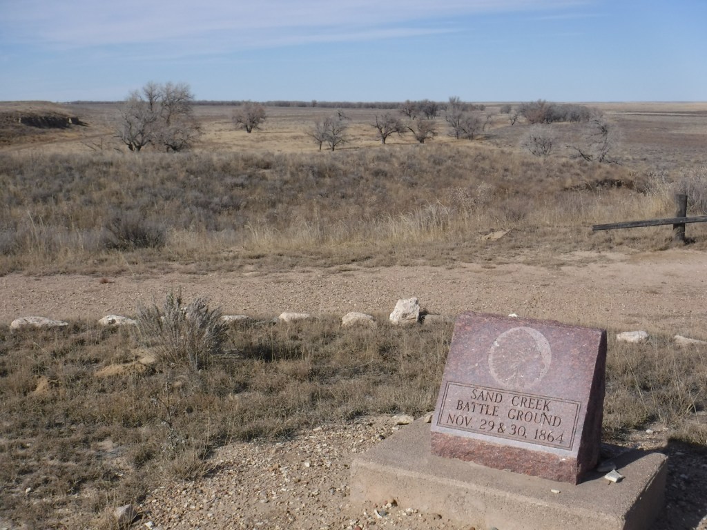
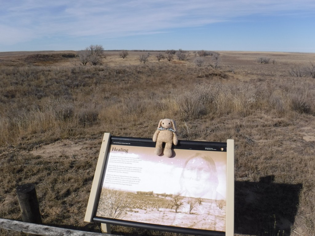
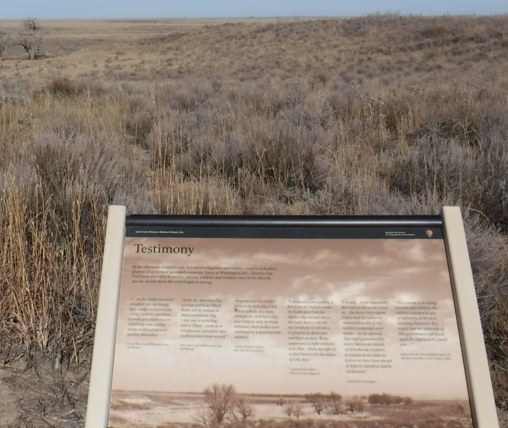
On November 29, 1864, in the middle of the Civil War, a tragedy played out on this spot where Chief Black Kettle and 700 other American Indians were peacefully spending the winter in accordance with the 1861 Treaty of Fort Wise.  A surprise attack led by Colonel John Chivington killed between 165 and 200 Cheyenne and Arapaho, primarily women, children, and the elderly.  The site is held sacred by the Cheyenne and Arapaho, so is only viewable from an overlook above the cottonwood-lined creek.  It serves as an important reminder of the terrible acts people can undertake when they dehumanize their fellow men.

Highlights

Memorial, trail, overlook

Must-Do Activity

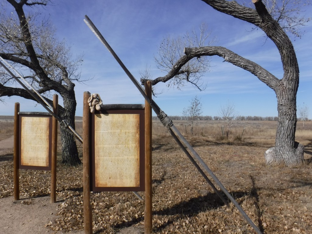
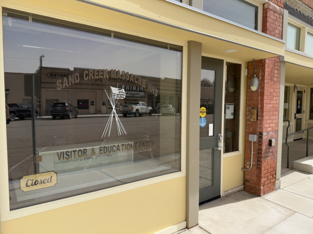
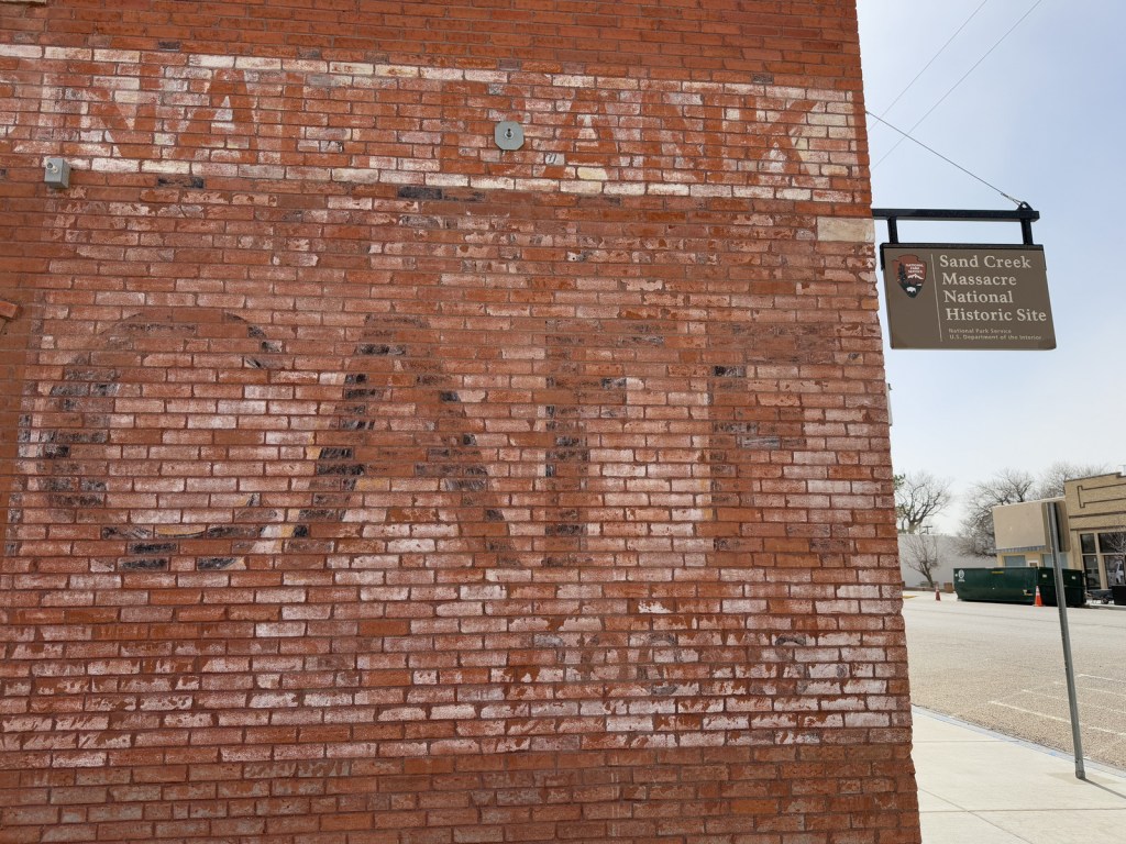
Authorized in 2000 upon the discovery of two grisly letters describing the gruesome event, Sand Creek Massacre National Historic Site opened to the public in 2007.  It is located in a remote section of the eastern Colorado plains, down a long dirt road, but it does have a small visitor center in a trailer staffed by the National Park Service (NPS).  Near the parking lot you will find posted the letters written by Captain Soule and Lieutenant Cramer, whose units refused to fire during the massacre.  Be warned that the description of the mutilation of the bodies is painful to read and not suitable for children. Another NPS visitor center is located in the town of Eads, Colorado (see photos below).

Best Trail

There is a 0.8-mile self-guided walking trail with a few interpretive signs. There is also a 600-mile Sand Creek Massacre Trail designated on highways between here and the Wind River Reservation in Wyoming.

Instagram-worthy Photo

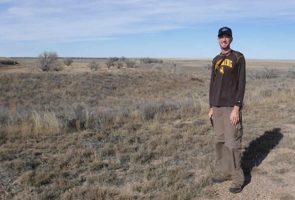
We took this photo from the overlook of the 1864 Cheyenne and Arapaho camp in November nearly 153 years after the massacre.

Peak Season

Summer

Hours

https://www.nps.gov/sand/planyourvisit/hours.htm

Fees

None

Road Conditions

The dirt access road is well maintained.

Camping

None

Related Sites

Washita Battlefield National Historic Site (Oklahoma)

Bent’s Old Fort National Historic Site (Colorado)

Comanche National Grassland (Colorado)

Nearest National Park

Great Sand Dunes

Explore More – Who was the Colorado Territorial Governor that authorized the 100-day volunteer cavalry to “kill and destroy” hostile American Indians?