Tag Archives: Scenic Byway

Bighorn National Forest

Bighorn National Forest

Wyoming

Managed by U.S. Forest Service, Rocky Mountain Region

1,115,160 acres (1,107,571 federal/ 7,589 other)

Website: https://www.fs.usda.gov/bighorn

Overview

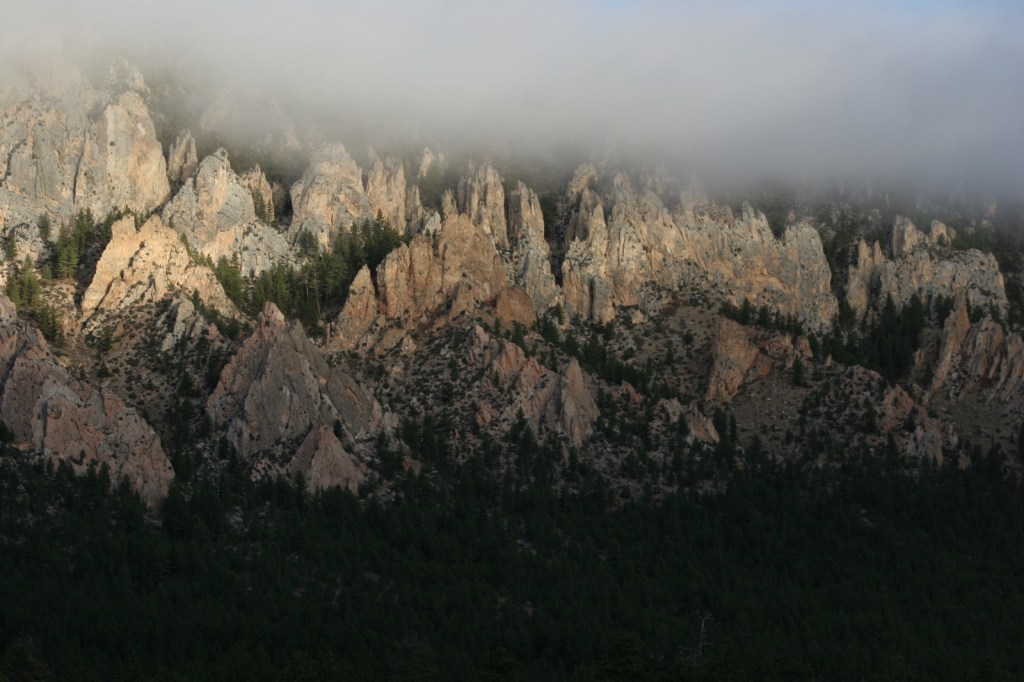
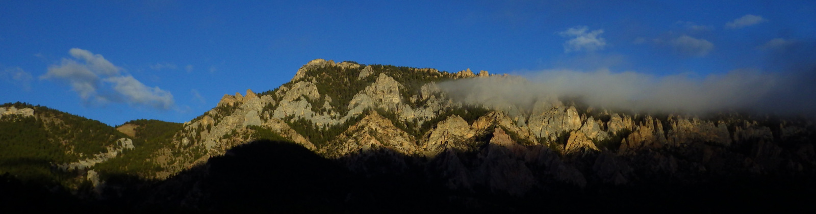
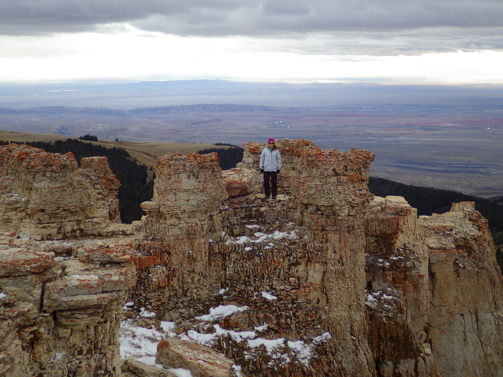
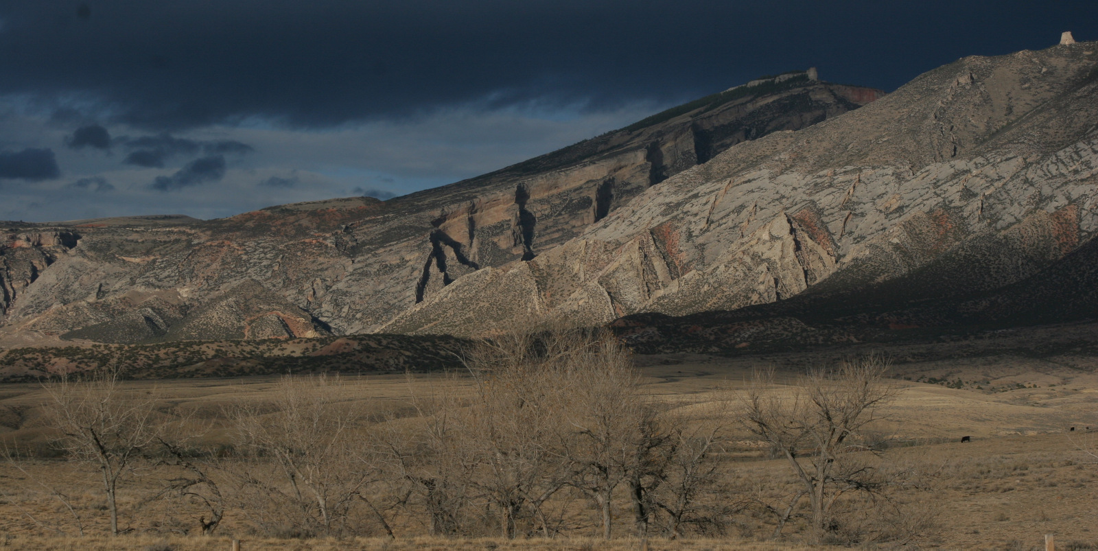
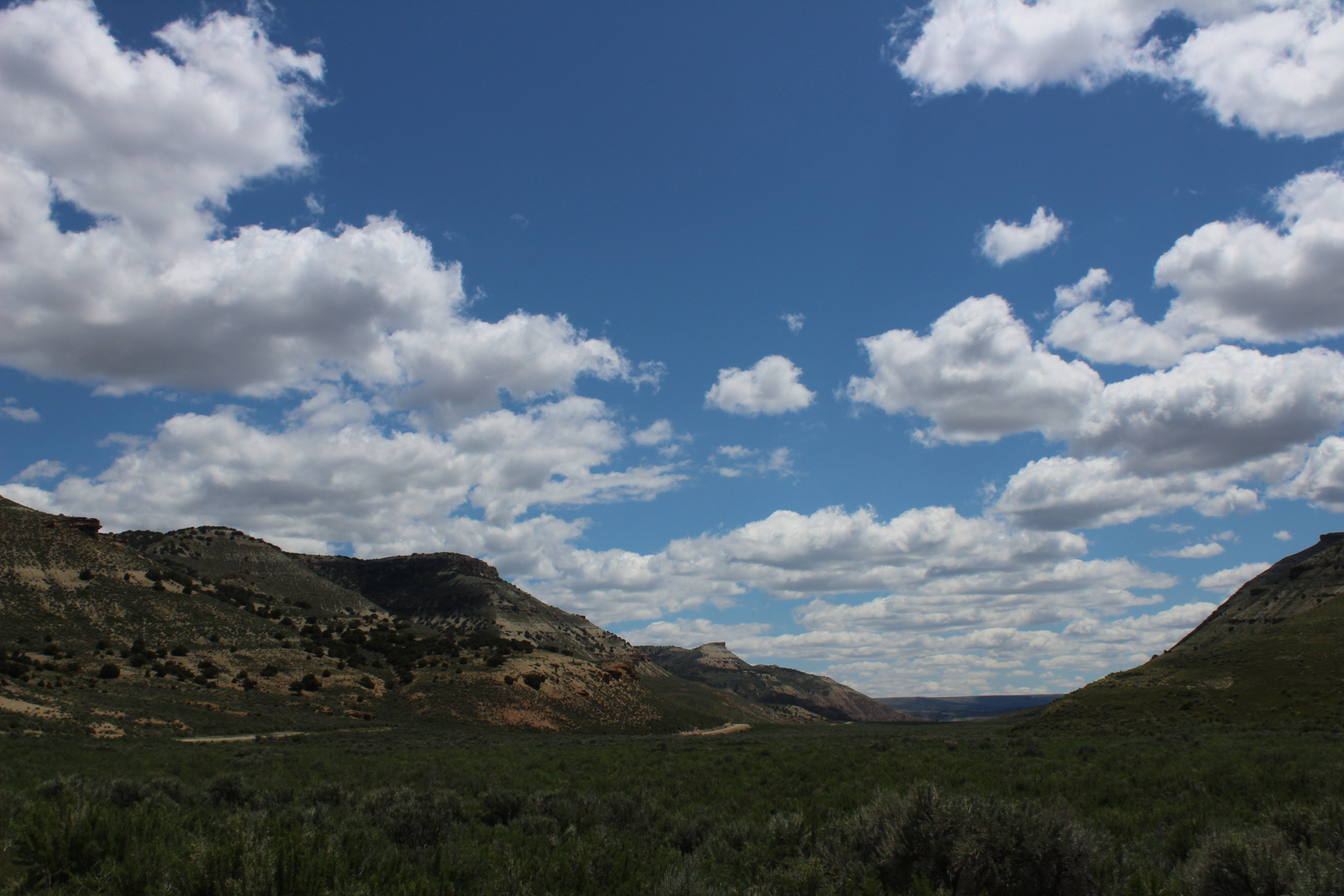
In northern Wyoming, the Bighorn Mountains are crisscrossed by three scenic byways: Cloud Peak Skyway, Bighorn Scenic Byway, and Medicine Wheel Passage.  Bighorn National Forest has such amazing views you can even enjoy them without stepping foot on the ground.  While you could enjoy the National Forest strictly through your windshield, you should lace up your hiking boots and explore some of the 150 miles of trails within the spectacular 189,039-acre Cloud Peak Wilderness.

Highlights

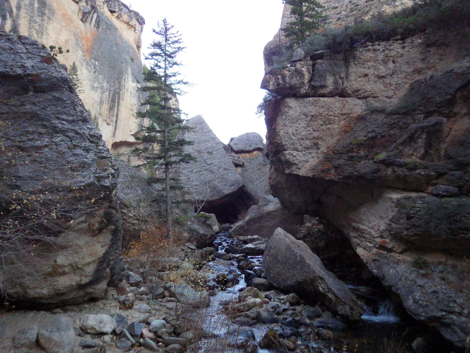
Shell Falls, Fallen City, Medicine Wheel National Historic Landmark, Bucking Mule Falls, Coney Lake, Porcupine Falls, Crazy Woman Creek, Ten Sleep Canyon, Mistymoon Trail

Must-Do Activity

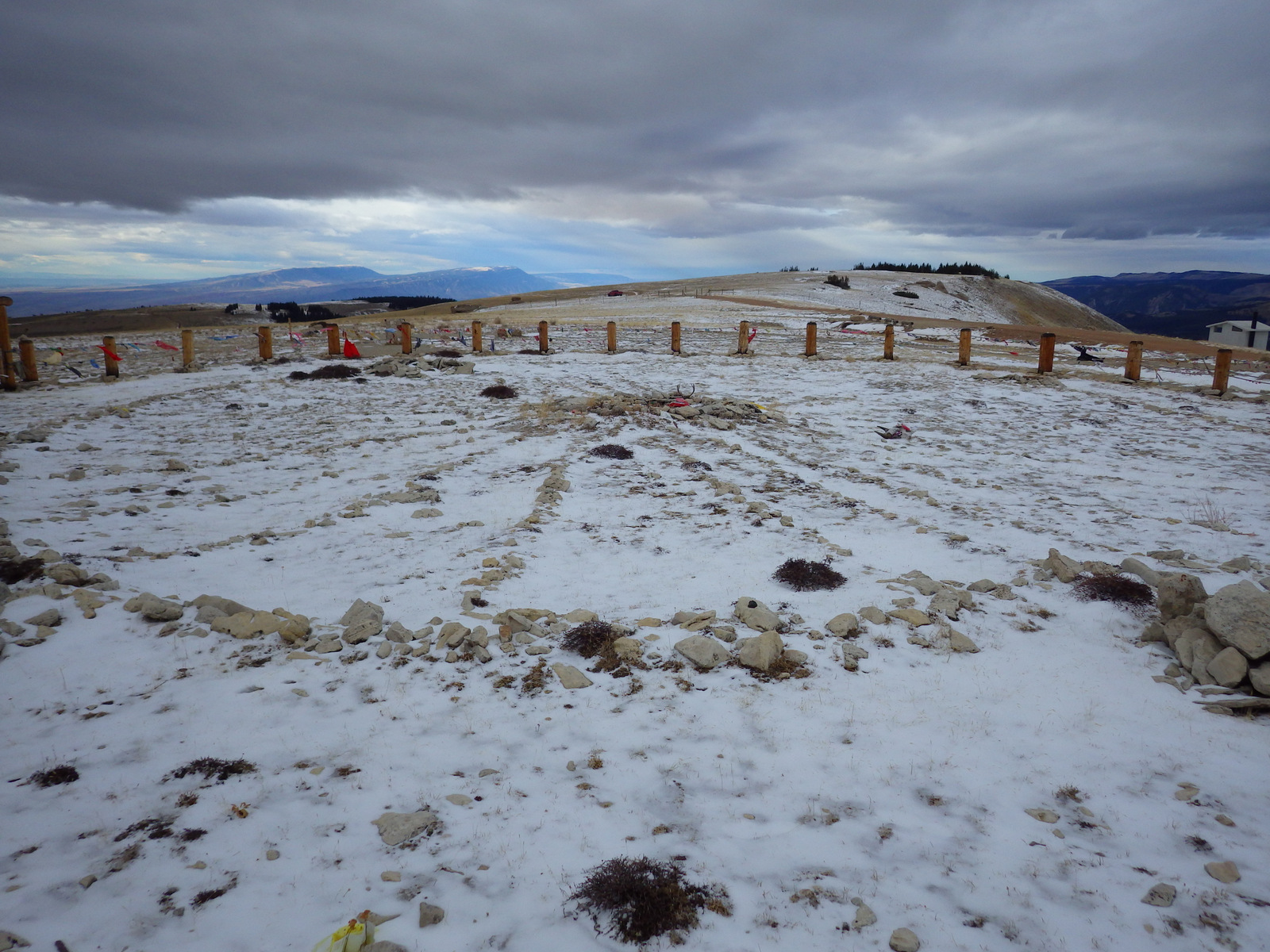
Medicine Wheel National Historic Landmark is an 80-foot-diameter circle of rocks divided into 28 spokes to match the lunar cycle.  This breathtaking archaeological site lies at nearly 10,000 feet in elevation with stunning panoramas in all directions.  It is possible to drive all the way to the site with a four-wheel-drive vehicle, but most visitors park in the lot located three miles up the road that climbs steeply from the turnoff on Highway 14A.  From the parking area, it is a 1.5-mile walk down the undulating road, which can be cold and windy even in the middle of the summer.

Best Trail

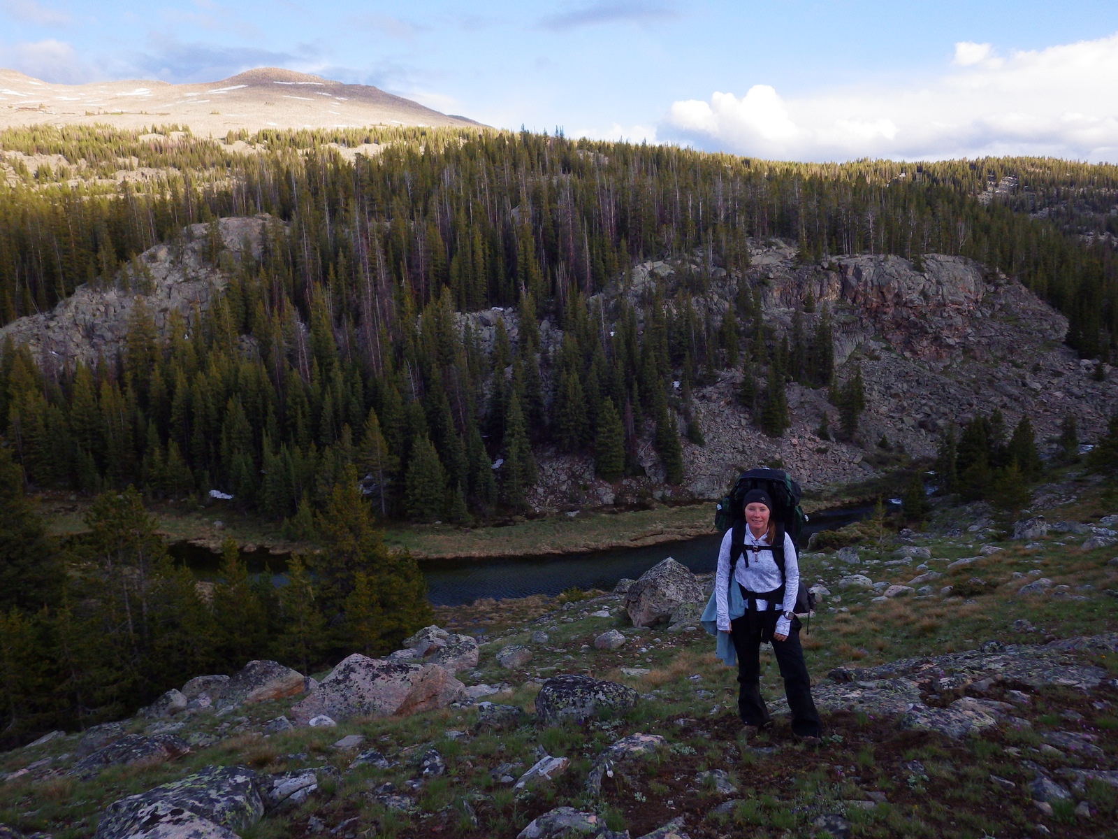
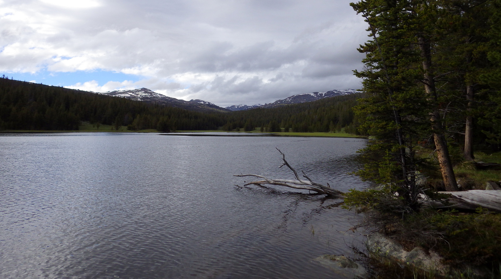
Mistymoon Trail is one of the most famous backpacking areas in the state of Wyoming, a six-mile jaunt into scenic Cloud Peak Wilderness with only about 1,000 feet elevation gain to Mistymoon Lake.  Leaving from the same trailhead at West Tensleep Lake, another trail leads to Mirror Lake and Lost Twin Lakes after multiple stream crossings.

Watchable Wildlife

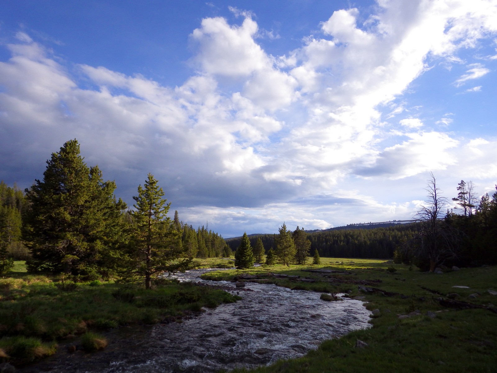
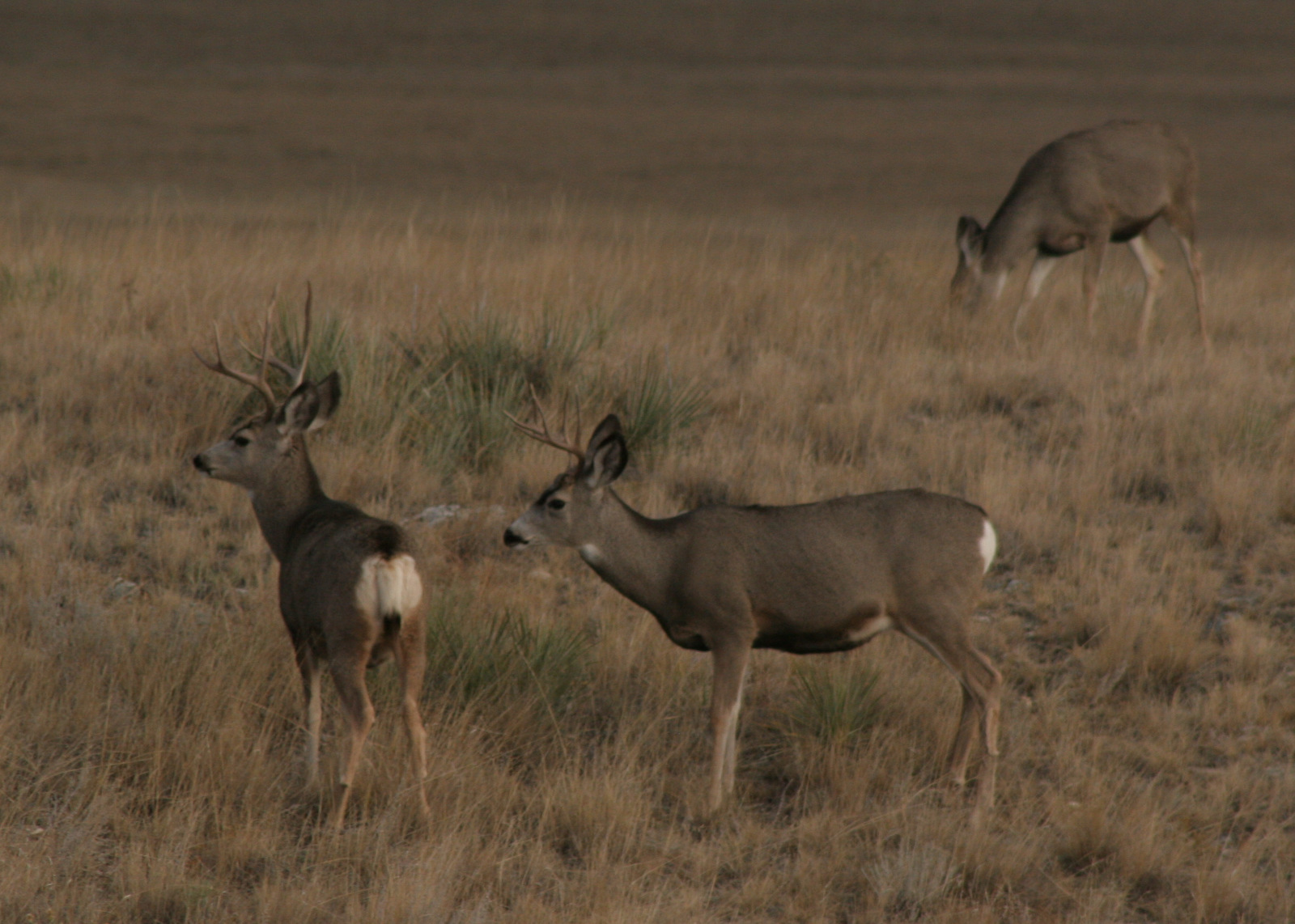
As you might guess from its name, the National Forest is home to bighorn sheep, although they had to be reintroduced after being eradicated by diseases and hunting.  Given its location at the edge of the Great Plains, both white-tailed deer and mule deer overlap here, usually to the detriment of less-aggressive mule deer.  The North Tongue River is one of several clear waterways that attract trout fishermen, and elk hunters crowd this area in the fall.

Instagram-worthy Photo

You will definitely want to get out of the car to see 120-foot tall Shell Falls, which is located right off Highway 14. 

Peak Season

Summer

Fees

None

Road Conditions

Snow can close Cloud Peak Skyway (Highway 16) and Bighorn Scenic Byway (Highway 14) temporarily in the winter, and Medicine Wheel Passage (Highway 14A) until late spring.  Forest Road 27 is a wide gravel road that leads seven miles north from Highway 16 to West Tensleep Lake Campground and trailhead.  Accessing the short trail to 600-foot tall Bucking Mule Falls involves driving about ten miles of dirt roads.

Camping

There are many campgrounds, including popular ones at Meadowlark Lake and West Tensleep Lake.  For a more-developed experience, try Medicine Lake Lodge or Meadowlark Lake Resort.  We have driven through this area multiple times and found a couple good dispersed campsites on dirt roads.

Wilderness Areas

Cloud Peak Wilderness

Related Sites

Bighorn Canyon National Recreation Area (Montana-Wyoming)

Little Bighorn Battlefield National Monument (Montana)

Black Hills National Forest (South Dakota-Wyoming)

Nearest National Park

Yellowstone (Wyoming-Montana-Idaho)
Conifer Tree Species

Douglas-fir, Rocky Mountain juniper, subalpine fir, Engelmann spruce, white spruce, limber pine, ponderosa pine, lodgepole pine

Flowering Tree Species

quaking aspen, Rocky Mountain maple, curlleaf mountain-mahogany, sagebrush

Explore More – How tall is Cloud Peak, namesake for the 189,039-acre Cloud Peak Wilderness?

Beaverhead National Forest

Beaverhead National Forest

Montana

Managed by U.S. Forest Service, Northern Region

2,199,013 acres (2,130,671 federal/ 68,342 other)

Website: https://www.fs.usda.gov/bdnf

Overview

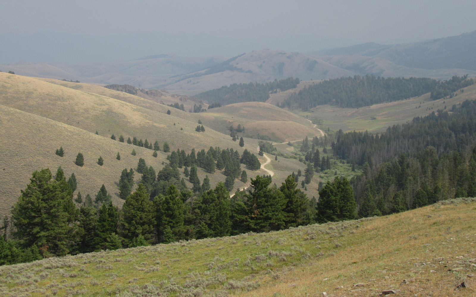
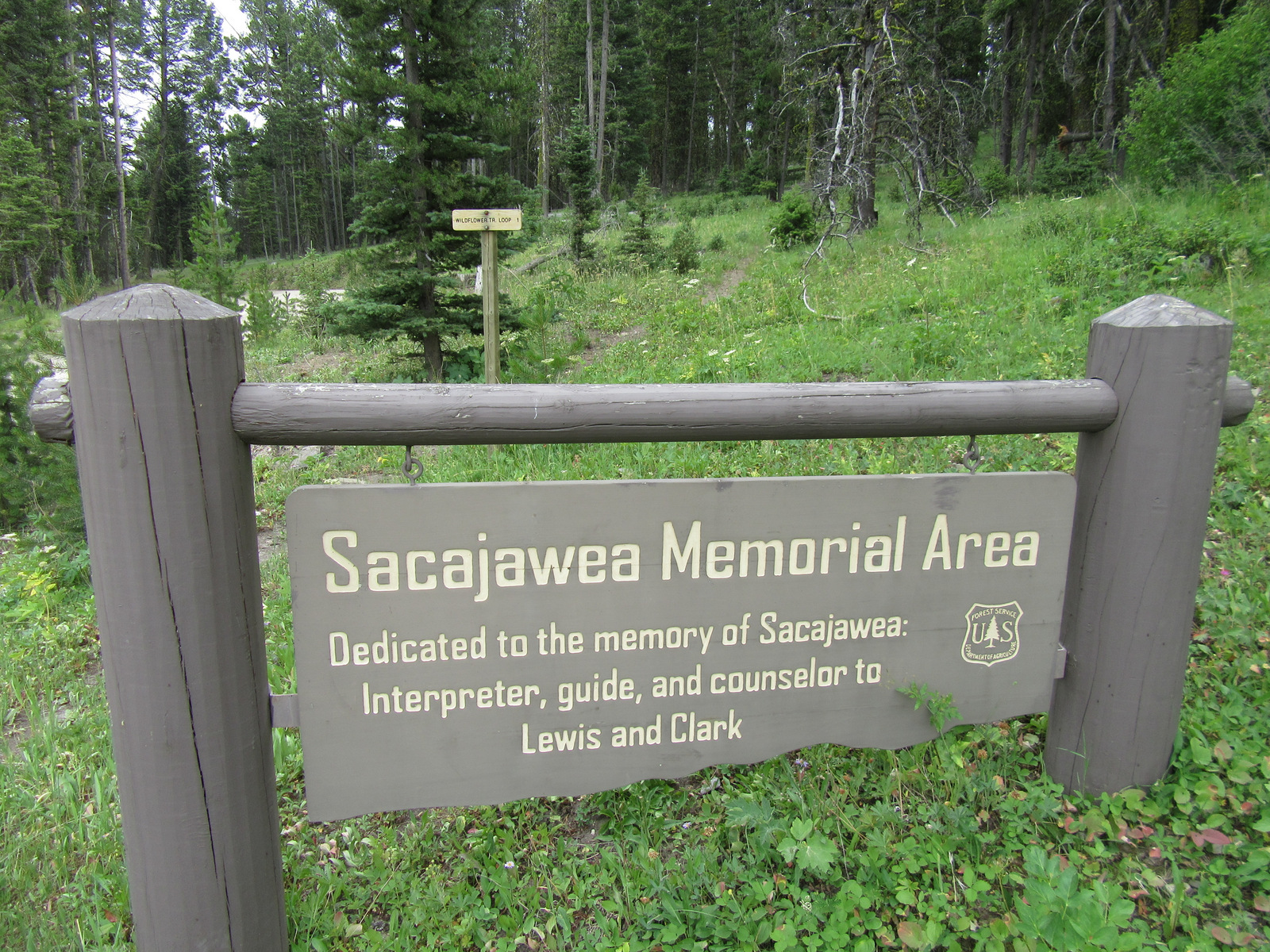
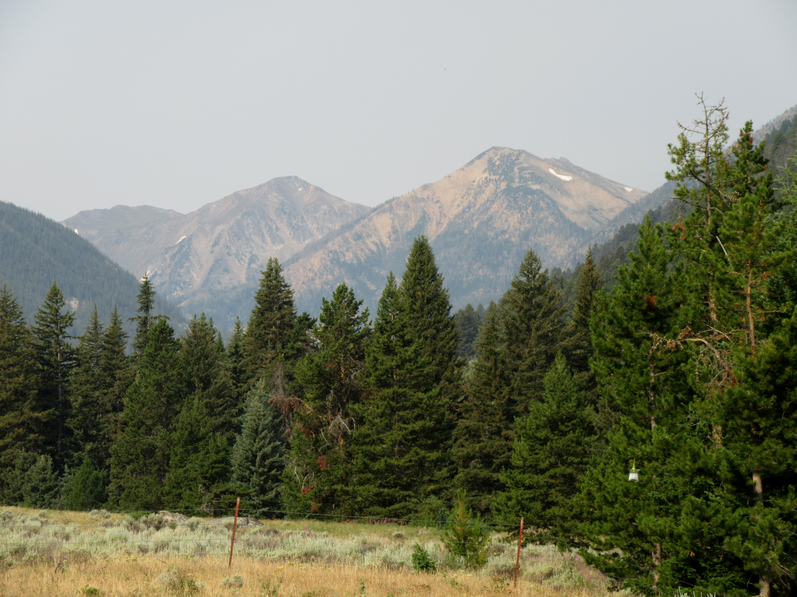
Co-managed since 1996, Beaverhead-Deerlodge National Forest is spread across multiple mountain ranges in the southwest corner of Montana.  The dividing boundaries between the two forests are unclear, though Beaverhead National Forest tends to be more southeast than Deerlodge National Forest and includes portions of the Beaverhead, Bitterroot, Centennial, Gravelly, Madison, Pioneer, Tendoy, and Tobacco Root Mountains.  Bordering Idaho’s Salmon National Forest, 7,323-foot Lemhi Pass is located on the Lewis and Clark National Historic Trail.  This is where the Corps of Discovery crossed the Continental Divide in 1805 and is why the Sacajawea Memorial Area was established here in 1932.

Highlights

Pioneer Mountains Scenic Byway, Lemhi Pass, Sacajawea Memorial, Chief Joseph Pass, Pintler Falls, Upper Potosi Hot Springs, Charcoal Kilns, Gravelly Range Auto Tour, Nez Perce National Historic Trail, Continental Divide National Scenic Trail

Must-Do Activity

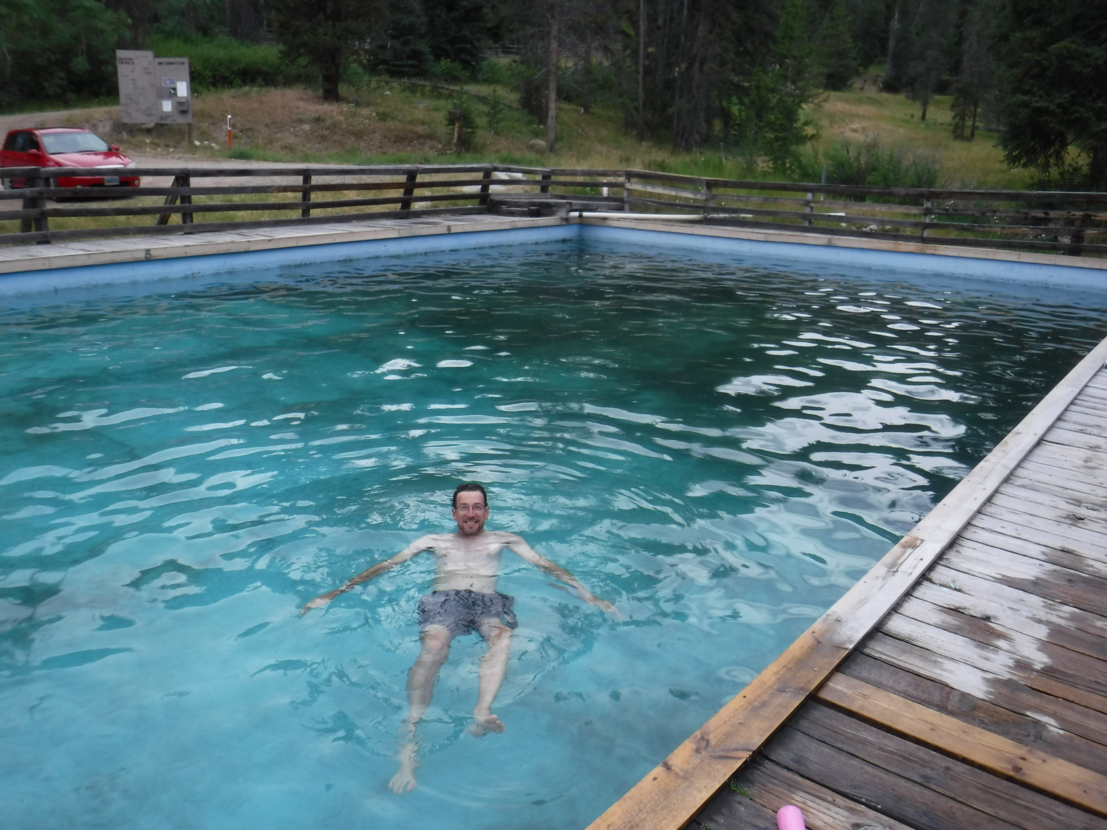
It is about a 17-mile drive from Harrison, Montana back to the free Potosi Campground, but it is well signed and worth the effort.  From here a 0.8-mile trail leads to Upper Potosi Hot Springs, a clear 100°F pool with room for about six adults.  Further west, about ten miles north of Highway 278, is the privately owned Elkhorn Hot Springs (fee), a great place to relax after hiking around Big Hole National Battlefield (managed by the National Park Service).  If you keep driving north on Wise River Polaris Road (FR 484), there are plenty of dispersed campsites and trailheads for several long hikes into the Pioneer Mountains.

Best Trail

We only hiked less than a mile trail to Upper Potosi Hot Springs, but that trail keeps climbing three miles to the top of the ridge.  We read good reviews for Louise Lake National Recreation Trail (see note on Road Conditions below), Pioneer Lake National Recreation Trail, Browns Lake Trail, Blue Creek Trail, Sand Lake/Lily Lake Trail, and Gold Butte Trail.  Hopefully we will make it back here to go backpacking someday.

Watchable Wildlife

Beaverhead National Forest still has most of its pre-settlement carnivores: grizzly bears, black bears, mountain lions, Canadian lynx, coyotes, and gray wolves.  Grazing ungulate species include moose, elk, mule deer, white-tailed deer, bighorn sheep, mountain goats, and pronghorns.  We saw bald eagles and ospreys on our drive out from Upper Potosi Hot Springs.  Mountain whitefish, golden trout, cutthroat trout, rainbow trout, brook trout, lake trout, arctic grayling, and burbot are some of the gamefish sought by fishermen.

Instagram-worthy Photo

The ruins of a developed hot springs resort (located on private land) are visible from Upper Potosi Hot Springs.  Watch for moose downhill in South Willow Creek and a cute little garter snake that hangs out in the rocks by the pool (possibly year round if it stays warm enough not to hibernate).

Peak Season

Summer

Fees

None

Road Conditions

The dirt roads to Potosi Campground and over Lemhi Pass are both in very good condition, but we do not know about all the other dirt roads that cross the Continental Divide.  We read the access road to Louise Lake National Recreation Trail is pretty rough, requiring four-wheel drive the last two miles.

Camping

There are more than 20 spots to set up at Potosi Campground, which is free and located near the trailhead for Upper Potosi Hot Springs.  You will want a high-clearance vehicle to drive across South Willow Creek to the official trailhead, but there are also pedestrian bridges.

Wilderness Areas

Anaconda-Pintler Wilderness (also in Deerlodge and Bitterroot National Forests)

Lee Metcalf Wilderness (also in Gallatin National Forest)

Related Sites

Deerlodge National Forest (Montana)

Big Hole National Battlefield (Montana)

Grant-Kohrs Ranch National Historic Site (Montana)

Nearest National Park

Yellowstone (Wyoming-Montana-Idaho)
Conifer Tree Species

lodgepole pine, whitebark pine, ponderosa pine, Douglas-fir, Engelmann spruce, subalpine fir, subalpine larch

Flowering Tree Species

quaking aspen, balsam poplar, Bebb willow, sagebrush

Explore More – How tall is Hilgard Peak, the highest point in Beaverhead National Forest?

Flaming Gorge National Recreation Area

Flaming Gorge National Recreation Area

Wyoming, Utah

Managed by U.S. Forest Service, Ashley National Forest

207,363 acres

Website: https://www.fs.usda.gov/attmain/ashley/specialplaces

Overview

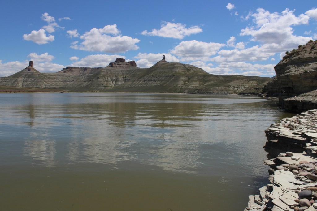
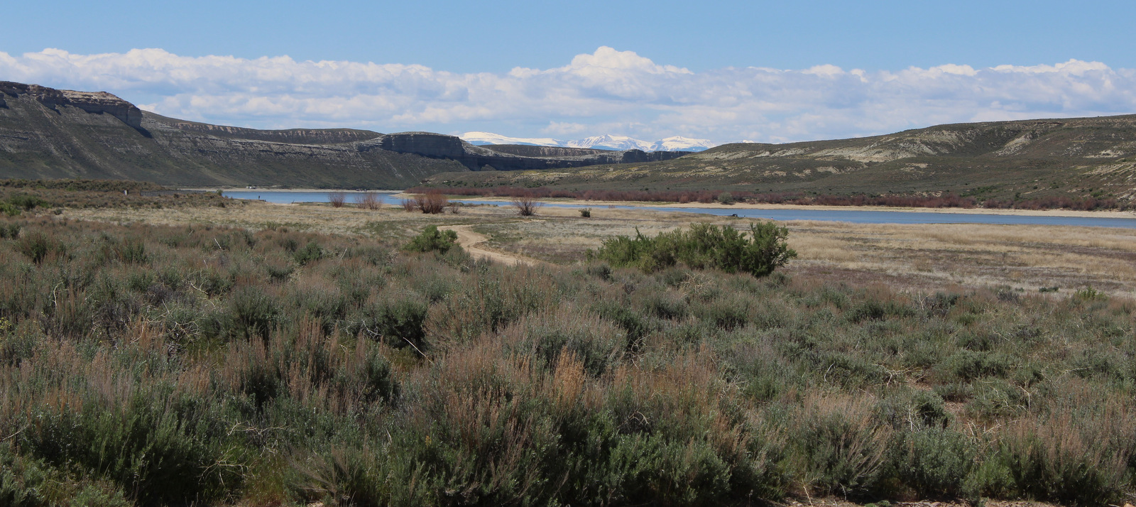
Flaming Gorge National Recreation Area surrounds the Flaming Gorge Reservoir that straddles the Wyoming-Utah border in the northern portion of Ashley National Forest.  The partially-submerged canyon was named by John Wesley Powell who in 1869 started his expedition down the Colorado River near the headwaters of the Green River.  The reservoir has 360 miles of shoreline, five full-service marinas, and numerous boat launches and campgrounds.
Highlights

Sheep Creek National Geological Area, Flaming Gorge-Uinta Scenic Byway, Cart Creek Bridge, Flaming Gorge Dam, Red Canyon Recreation Complex, Green River, Firehole Canyon

Must-Do Activity

The top activities in Flaming Gorge National Recreation Area are boating and fishing, as the reservoir is known for its large population lake trout, as well as kokanee salmon, rainbow trout, brown trout, smallmouth bass, channel catfish, and burbot.  Ice fishing is available in the winter, as are trails for snowmobiling and cross-country skiing.  Southwest of the reservoir, Sheep Creek National Geological Area offers a scenic drive through nine rock formations with interpretive signs.  Downstream from the dam, the Green River is a rafting destination.

Best Trail

Little Hole National Recreation Trail runs 7.2 miles along the Green River from the Flaming Gorge Spillway to the Little Hole boat ramp.  Canyon Rim Trail starts at the Red Canyon Overlook and follows the canyon rim for 1.5 miles before cutting three miles towards the Greendale Overlook.

Instagram-worthy Photo

The Flaming Gorge Dam stands 502 feet high and is crossed by Highway 191 on the Flaming Gorge-Uinta Scenic Byway, as is beautiful Cart Creek Bridge.

Peak Season

Summer

Fees

Every boat launch and day-use area requires a recreation pass ($5 per day, $15 per week, or America the Beautiful pass), but there is no fee to drive the Flaming Gorge-Uinta Scenic Byway or across the dam.

Road Conditions

The 82-mile long Flaming Gorge-Uinta Scenic Byway is paved the whole way, but there are many unpaved roads including popular Red Canyon and Sheep Creek National Geological Area.  Access roads to boat ramps at Lucerne Valley, Antelope Flat, Cedar Springs, Mustang Ridge, Buckboard Crossing, and Firehole Canyon are paved.

Camping

There are numerous campgrounds on and off the lake, mostly open May to September, although Dripping Springs is open year round.

Related Sites

Canyonlands National Park (Utah)

Glen Canyon National Recreation Area (Arizona-Utah)

Lake Mead National Recreation Area (Nevada-Arizona)

Nearest National Park

Arches (Utah)

Explore More – When was the Flaming Gorge Dam completed?

Ashley National Forest

Ashley National Forest

Utah, Wyoming

Managed by U.S. Forest Service, Intermountain Region

1,402,656 acres (1,382,346 federal/ 20,310 other)

Website: https://www.fs.usda.gov/ashley

Overview

Ashley National Forest is located on the Utah-Wyoming border and includes the High Uintas Wilderness and Flaming Gorge National Recreation Area (which we will discuss in our next blog post).  The Uinta Mountains are a popular destination for campers, hikers, mountain bikers, horseback riders, and anybody who is into magnificent mountain peaks and picturesque lakes.  It is one of the few east-west running ranges in North America and includes the highest point in Utah: 13,528-foot tall Kings Peak.  In 2019, Congress set aside 173,475 acres of the National Forest as the Ashley Karst National Recreation and Geologic Area, the first such designation in the U.S.

Highlights

Flaming Gorge National Recreation Area, Red Cloud Loop Scenic Backway, Flaming Gorge-Uinta Scenic Byway, Indian Canyon Scenic Byway, Outlaw ATV Trail, Moon Lake, Strawberry Peak, Swett Ranch, Kings Peak, Highline Trail

Must-Do Activity

The High Uintas Wilderness is a premier backpacking destination with numerous lakes and 545 miles of trails.  The Wilderness is actually found in both the Wasatch and Ashley National Forests, but not Uinta National Forest.  Even if that makes sense to you, you will probably still need a good map to navigate your way to the highest point in Utah.  Summiting Kings Peak is a minimum 30 miles roundtrip from the Henrys Fork Trailhead in Wasatch National Forest to the north, and even further from the southern trailheads.

Best Trail

We backpacked into the High Uintas Wilderness on a 41-mile lollipop loop leaving from the Uinta Canyon Trailhead.  The first portion along the Uinta River Trail was flat, then started climbing when we split off on the Chain Lakes-Atwood Trail to cross Roberts Pass and Trail Rider Pass into Painter Basin, a beautiful area that sits below Kings Peak.  At more than 90 miles in length, the Highline Trail runs east-west through the area and is accessible from many side-trails, including the ones we were on.

Watchable Wildlife

Flaming Gorge Reservoir is known for its large population lake trout, as well as kokanee salmon, rainbow trout, brown trout, smallmouth bass, channel catfish, and burbot.  The reservoir also hosts a large nesting colony of ospreys, as well as many other raptors.  In the mountains, watch for moose, elk, mule deer, mountain goats, and black bears.

Instagram-worthy Photo

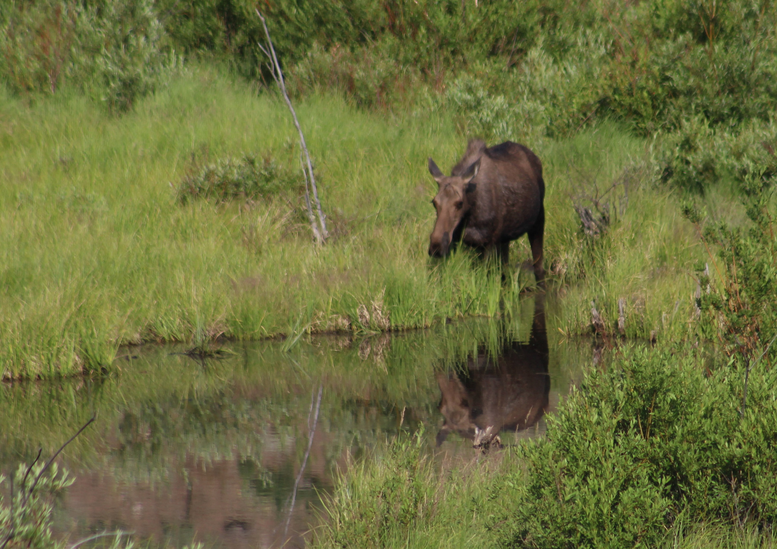
Leaving from the Uinta Canyon Trailhead, after about an hour of walking the Uinta River Trail reaches a bridge across its namesake.  The river is popular with fisherman and we spotted a moose grazing near the water.

Peak Season

Summer

Fees

Every boat launch and day-use area in Flaming Gorge National Recreation Area requires a recreation pass ($5 per day, $15 per week) or America the Beautiful pass, but there is no charge to drive the Flaming Gorge-Uinta Scenic Byway or cross the dam.  We did not encounter any fees in the rest of Ashley National Forest, except in campgrounds.

Road Conditions

The 82-mile Flaming Gorge-Uinta Scenic Byway is paved the whole way, but there are many unpaved roads off it including access to popular Red Canyon and Sheep Creek National Geological Area.  Many roads are closed seasonally, like Red Cloud Loop and Spirit Lake Scenic Backways.

Camping

There are numerous campgrounds on and off the lake in Flaming Gorge National Recreation Area, mostly open May to September, although Dripping Springs is open year round.  There are also campgrounds near most of the trailheads that access the High Uintas Wilderness.  We found dirt roads off Highway 191 to be packed with dispersed campers and RVs in mid-July 2020.

Wilderness Areas

High Uintas Wilderness (also in Wasatch National Forest)

Related Sites

Dinosaur National Monument (Utah-Colorado)

Timpanogos Cave National Monument (Utah)

Fossil Butte National Monument (Wyoming)

Nearest National Park

Arches (Utah)

Conifer Tree Species

lodgepole pine, limber pine, ponderosa pine, pinyon pine, Douglas-fir, subalpine fir, white fir, Engelmann spruce, Rocky Mountain juniper

Flowering Tree Species

quaking aspen, blue elderberry, Gambel oak, bigtooth maple, boxelder, western birch, red osier dogwood, narrowleaf cottonwood, sagebrush

Explore More –Ashley National Forest is named after whom?

Arapaho National Forest

Arapaho National Forest

Colorado

Managed by U.S. Forest Service, Rocky Mountain Region

770,604 acres (724,678 federal/ 45,926 other)

Website: https://www.fs.usda.gov/arp

Overview

Arapaho National Forest is managed jointly with Roosevelt National Forest and Pawnee National Grassland in northern Colorado.  Easily accessible from Interstate 70 west of Denver, the National Forest is best known for its many ski resorts.  Mt. Blue Sky (formerly Evans) Highway and Guanella Pass Scenic Byway provide access to the high country in the summer when a rainbow of wildflowers bloom, both above and below treeline.

Highlights

Arapaho National Recreation Area, Mt. Blue Sky (formerly Evans), St. Mary’s Glacier, Guanella Pass Scenic Byway, Devil’s Thumb Lake, Berthoud Falls, Ute Peak, Boardwalk Trail, Continental Divide National Scenic Trail

Must-Do Activity

Located just west of Denver, the Mt. Blue Sky (formerly Evans) Highway (the highest fully-paved road in North America) provides access to the rarely-seen world above 14,000 feet in elevation.  Online reservations are now required before you show up, so be sure to click to include a stop at Mt. Goliath Research Natural Area, which provides an interpretive hike through a forest of long-lived Rocky Mountain bristlecone pine trees.  Keep your eyes sharp for bighorn sheep and mountain goats along the road once you hit the switchbacks around Summit Lake.  While the Crest House is no longer in business near the summit, you can still park there and walk the remaining one-hundred feet to the top of the 14,264-foot peak for unsurpassed views.

Best Trail

The easiest way to access the aptly-named Never Summer Wilderness is from the Kawuneeche Valley in Rocky Mountain National Park.  You can backpack the 18-mile loop of Baker Gulch to Bowen Gulch in either direction, but keep an eye out for moose as we saw six along the way!  High elevation dwellers like yellow-bellied marmots and pikas were also abundant along the trail, which enters Routt National Forest on the west side of Fairview Mountain.

Watchable Wildlife

Moose and elk can be found throughout the National Forest, but are often easiest to locate around the west entrance to Rocky Mountain National Park.  Bighorn sheep and mountain goats are known to approach cars on the paved road to the top of Mt. Blue Sky (formerly Evans).  During our January visit to Arapaho National Recreation Area we spotted a river otter and ouzel (or dipper, a swimming songbird) in one of the few sections of unfrozen creek.

Instagram-worthy Photo

North of the ski resort town of Winter Park is Fraser Experimental Forest, managed by the U.S. Forest Service’s Rocky Mountain Research Station.  In winter, roads within Fraser Experimental Forest are closed and turn into routes for cross-country skiers and snowshoers with no entry fee charged.

Peak Season

Summer

Fees

A $15 fee is charged per vehicle (online reservation required before arrival, $2 fee even if you use your America the Beautiful pass) to drive the one-way Mt. Blue Sky (formerly Evans) Highway during its short open season.  Also during the summer, day-use fees apply at Fraser Experimental Forest and Arapaho National Recreation Area.

Road Conditions

The road to the top of Mt. Blue Sky (formerly Evans) is paved the whole way, but there are plenty of rough dirt roads to explore throughout Arapaho National Forest.  The road back to Monarch Lake is closed seasonally in Arapaho National Recreation Area.

Camping

Campgrounds fill up in the summer and even the dirt roads around the west entrance to Rocky Mountain National Park can be jam-packed with dispersed campers.  There are some scenic campgrounds around Fraser Experimental Forest near Winter Park, Colorado.

Wilderness Areas

Byers Peak Wilderness

Eagles Nest Wilderness (also in White River National Forest)

Indian Peaks Wilderness (also in Roosevelt National Forest)

Mt. Blue Sky (formerly Evans) Wilderness (also in Pike National Forest)

Never Summer Wilderness (also in Routt National Forest)

Ptarmigan Pass Wilderness

Vasquez Peak Wilderness

Related Sites

Arapaho National Recreation Area (Colorado)

Florissant Fossil Beds National Monument (Colorado)

Sand Creek Massacre National Historic Site (Colorado)

Nearest National Park

Rocky Mountain (Colorado)

Conifer Tree Species

Engelmann spruce, Colorado blue spruce, subalpine fir, Douglas-fir, Rocky Mountain bristlecone pine, ponderosa pine, lodgepole pine

Flowering Tree Species

quaking aspen, Rocky Mountain maple, narrowleaf cottonwood, mountain ash, dwarf willow, Scouler willow, mountain willow, alpine fen willow, purple-twig willow, sandbar willow, Geyer’s willow, Wolf’s willow

Explore More – When did research begin in Fraser Experimental Forest on the response of conifer species to different harvesting techniques, insect outbreaks, and climate conditions?

We are a participant in the Amazon Services LLC Associates Program, an affiliate advertising program designed to provide a means for us to earn fees by linking to Amazon.com and affiliated sites.