Overview
As its name suggests, Dinosaur National Monument was first created in 1915 to protect an archaeological dig. The 200-foot long wall of unexcavated fossils at Dinosaur Quarry outside Jensen, Utah is still the park’s main attraction. A major addition of 200,000 acres was added in 1938, stretching into the neighboring state of Colorado. More than 90% of the National Monument (click here to see where it ranks in our Top 10) is managed as wilderness and is best explored by whitewater rafting the Green and Yampa Rivers.

Highlights
Dinosaur Quarry, Harpers Corner Road, Fremont pictographs, Jones Hole Trail, whitewater rafting
Must-Do Activity
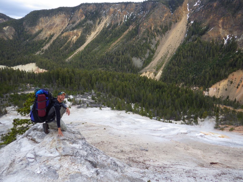
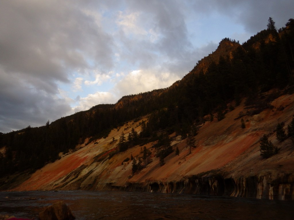
Whitewater rafting trips on the Green River can last a few hours or multiple days depending upon where you put in. We highly recommend a three night trip starting at the Gates of Lodore with Adrift Dinosaur or one of several other outfitters. They also offer multi-day trips down the Yampa River, which is undammed and only navigable during the spring snowmelt. If you do not feel like getting wet, simply enjoy a quiet picnic on the shoreline at easily-accessible Split Mountain (or take a high-clearance vehicle down the rough road to scenic Echo Park).
Best Trail
The 4-mile long Jones Hole Trail is accessible to rafters on the Green River and from a fish hatchery at the end of a paved road near the Utah-Colorado border. It provides access to Ely Creek Falls and the Deluge Shelter pictographs, which are approximately 800 to 1,400 years old.
Instagram-worthy Photo
Dinosaur Quarry may be the only mountainside in America surrounded by its own glass-enclosed, air-conditioned building. It contains thousands of fossilized bones of giant creatures sitting in the same place they have been for the past 148-million years. It is a completely different experience than seeing dinosaur skeletons reconstructed in a museum, although they have those, too.

Peak Season
Spring and summer
Hours
https://www.nps.gov/dino/planyourvisit/hours.htm
Fees
No entrance fees for the Colorado side, but $25 per vehicle to enter the Utah side to view the Dinosaur Quarry.
Road Conditions
There are many dirt roads in the National Monument, some of which are impassable when wet, so check at a visitor center before entering. The roads to the Dinosaur Quarry, Jones Hole Trailhead, Deerlodge Park, and Harpers Corner are paved.
Camping
There are several campgrounds within the park accessible by paved or unpaved roads, as well as numerous backcountry campsites located along the Green and Yampa Rivers (plus, one on the Jones Hole Trail).

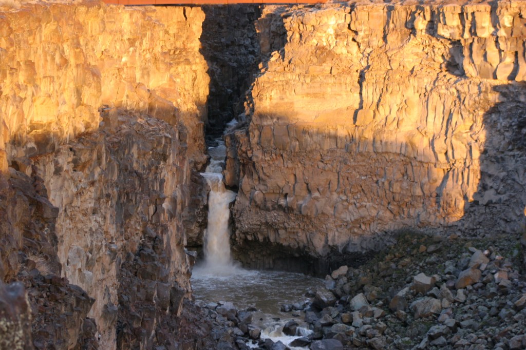
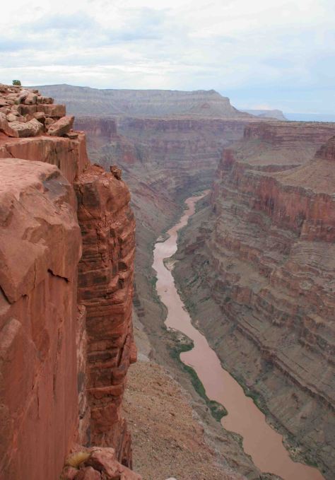
Mitten Park Fault is bisected by the Green River near Echo Park 
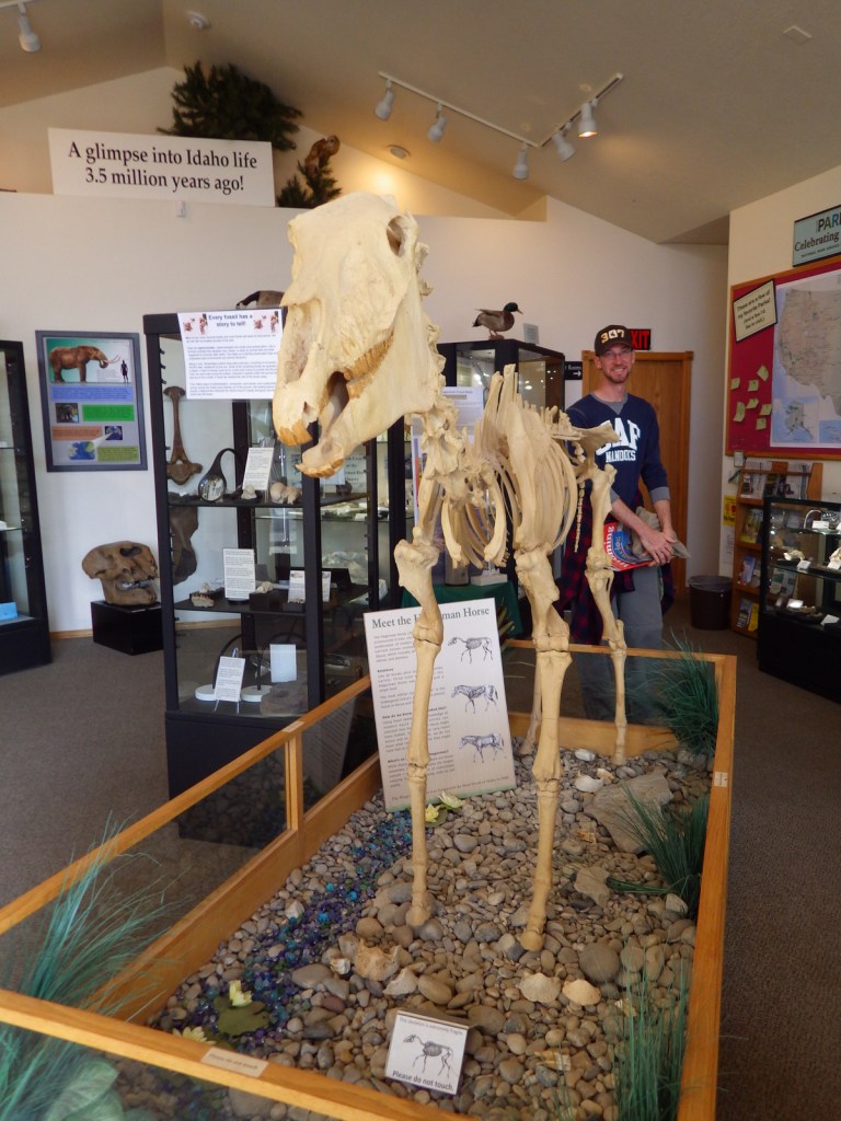
Outside the NPS visitor center near Jensen, Utah 
Tiff on the tram to the Dinosaur Quarry in 2012 
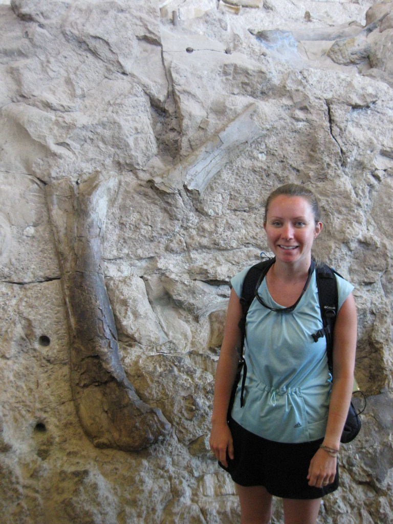
Tiff at the Dinosaur Quarry in 2012 
Whitewater rafting on the Green River in 2019 
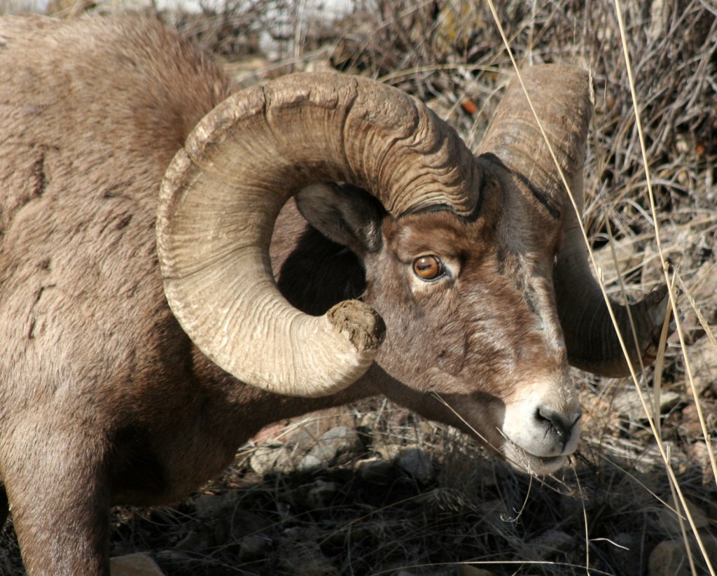
Bighorn sheep along the Green River 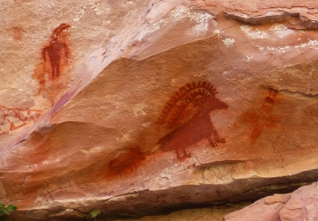
Deluge Shelter pictographs on the Jones Hole Trail 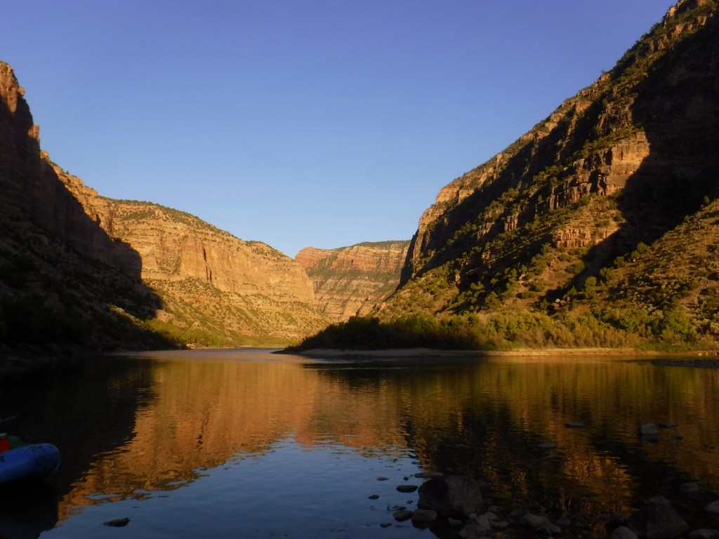
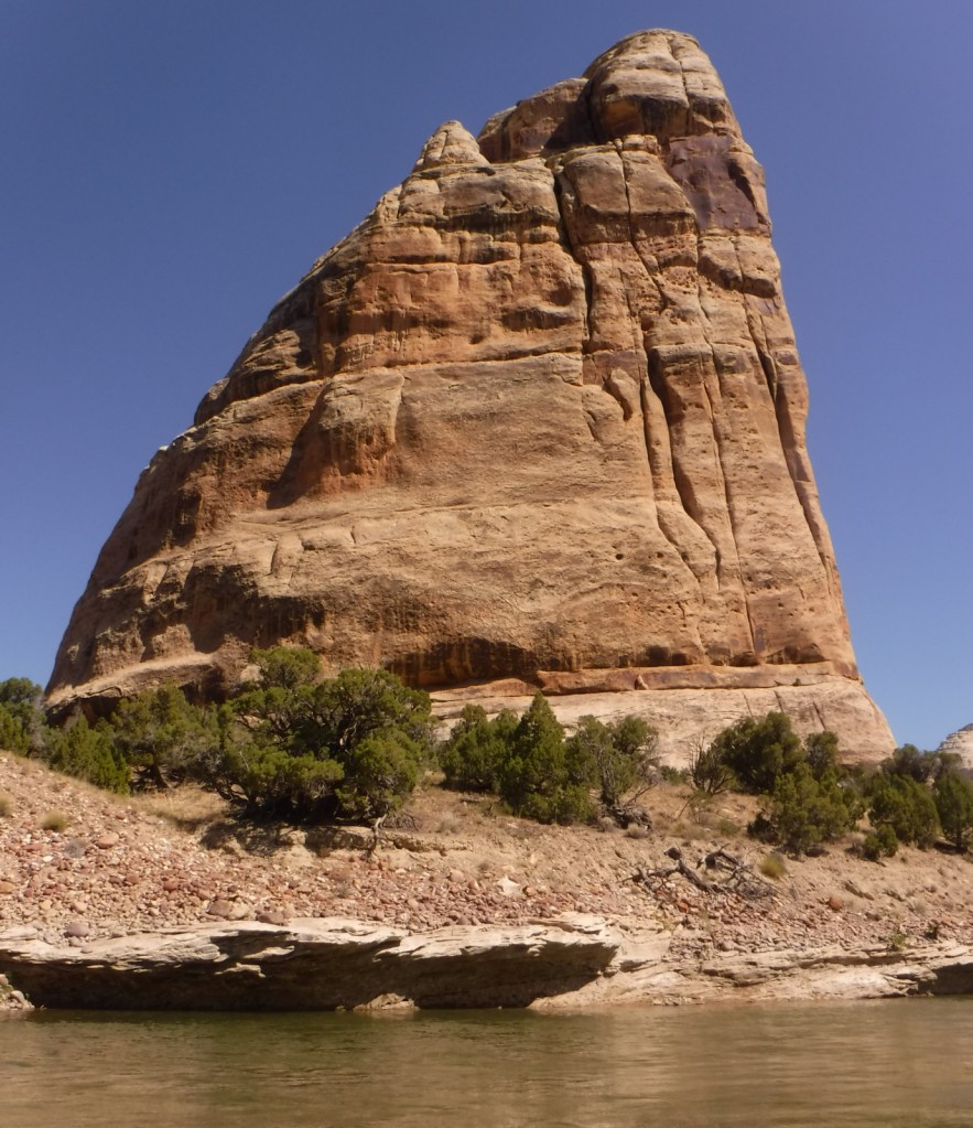
Steamboat Rock at Echo Park 
Explore More – Who was the one-armed Civil War veteran that led the first exploration of the Green River (and named the Gates of Lodore after a poem) in 1869?