Overview
In 1964, Lake Mead became the first National Recreation Area administered by the National Park Service (NPS). It actually encompasses two reservoirs on the Colorado River: Lake Mead formed by Boulder Dam in 1936 and (further south) Lake Mohave formed by Davis Dam in 1951. Boulder Dam was later renamed Hoover Dam and is one big reason this is among the busiest NPS sites with about 7-million annual visitors (also partly due to its proximity to Las Vegas, Nevada).

Highlights
Hoover Dam, Northshore Road, Redstone Trail, Arizona Hot Springs, boating
Must-Do Activity
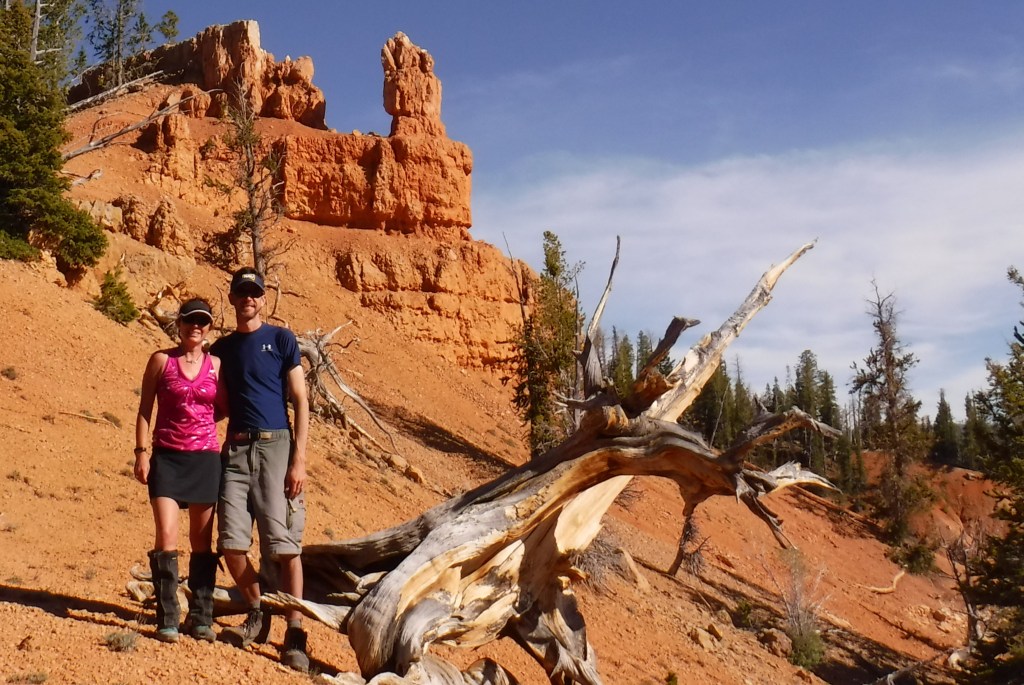
The most fantastic destination in Lake Mead National Recreation Area is Arizona Hot Springs, where pools are formed by sandbags in a narrow canyon. It is accessible from Liberty Bell Trailhead by a 6.5-mile roundtrip hike through a beautiful canyon down to the Colorado River. The trail is closed during the hot summer months, but you can still access it by canoe or kayak from Willow Beach Marina or just downstream from the Hoover Dam (with a special permit). Downriver in Black Canyon, stop at Emerald Cove for incredible photographs.
Best Trail
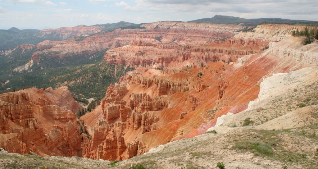
Redstone Trail is a short loop hike through a fantastic red rock area found just off North Shore Drive. It is similar to the photogenic Valley of Fire State Park located to the north.
Instagram-worthy Photo
The area around the Hoover Dam can get very crowded, as can the outstanding overlook on the 1,900-foot long Pat Tillman Memorial Bridge (completed in 2010 to route Highway 93 traffic off the dam). Standing 890-feet above the river below, it ranks as the second highest bridge in the United States behind Colorado’s Royal Gorge Bridge. Be prepared to pass through a security screening if you park at the bridge or Hoover Dam.

Peak Season
Spring and fall
Hours
https://www.nps.gov/lake/planyourvisit/hours.htm
Fees
$25 per vehicle or America the Beautiful pass to access Willow Beach Marina or Lake Mead itself. At Hoover Dam there is free parking on the Arizona side, but fees for the museum and tours.
Road Conditions
All major roads are paved, including the steep drive down to Willow Beach Marina, which also has a fish hatchery open to visitors.
Camping
There are multiple NPS campgrounds around the perimeter of Lake Mead and Lake Mohave. Backcountry camping is allowed without a permit at Arizona Hot Springs, which is even more spectacular after dark.
Related Sites
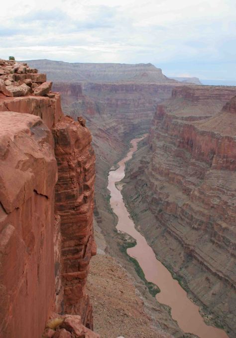
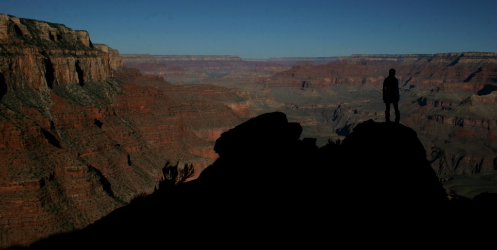
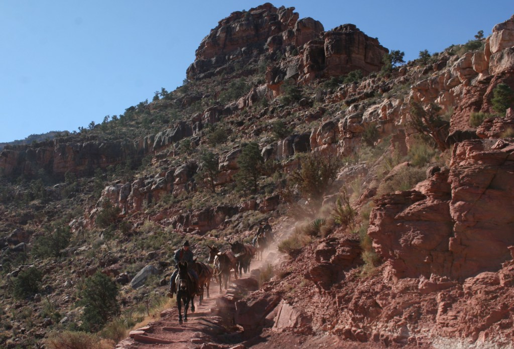
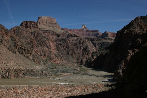
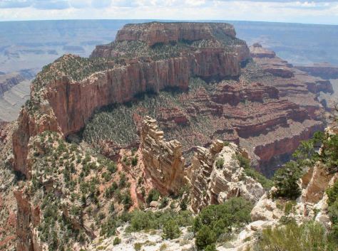
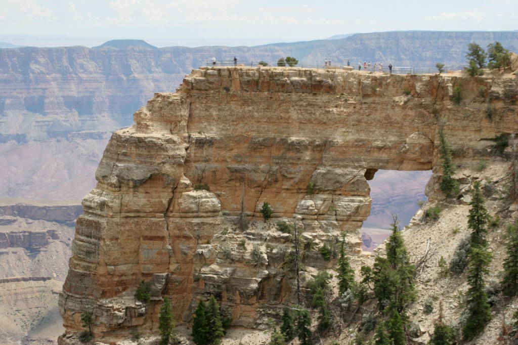
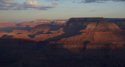
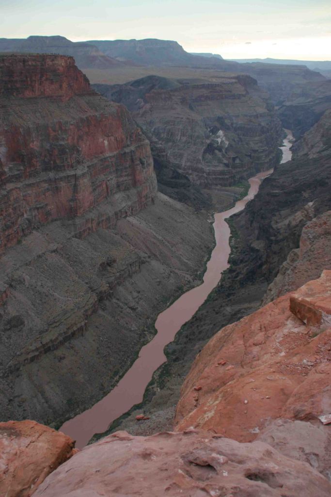
Grand Canyon National Park (Arizona)
Glen Canyon National Recreation Area (Arizona-Utah)
Tule Springs Fossil Beds National Monument (Nevada)
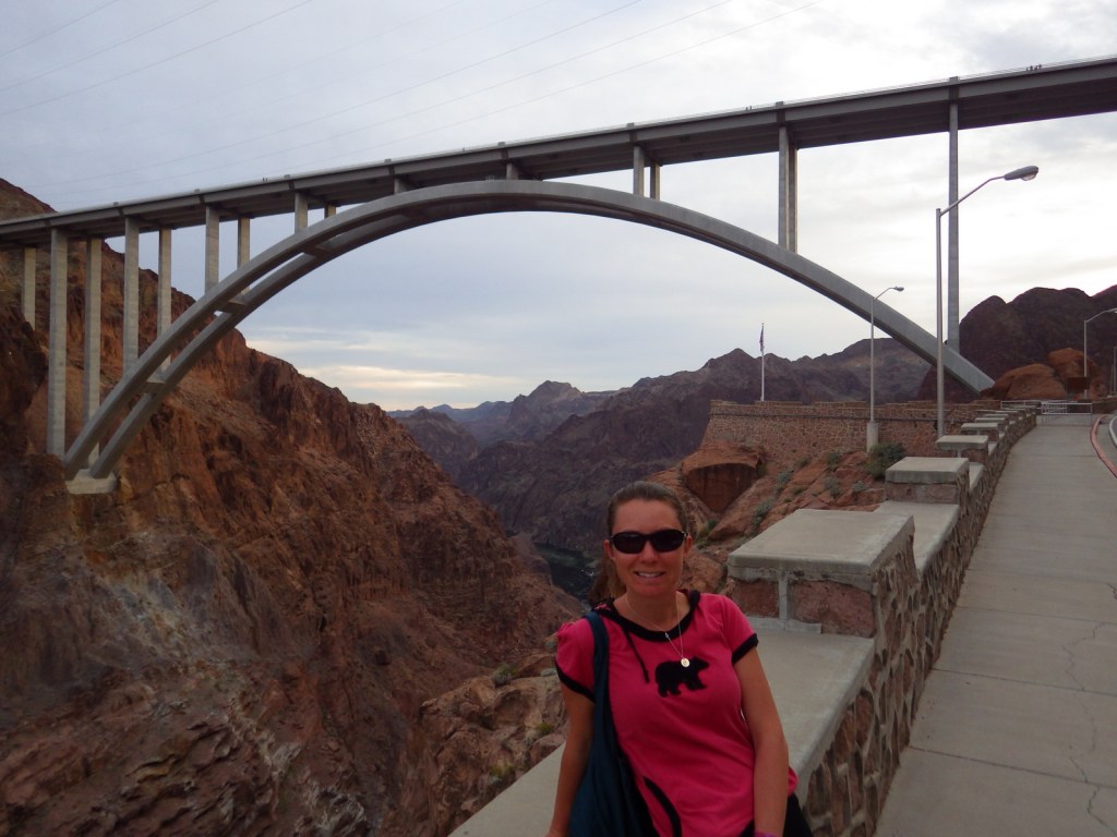
Tiff with Pat Tillman Bridge in background 
Tiff on the Hoover Dam 
Tiff on trail to Arizona Hot Springs 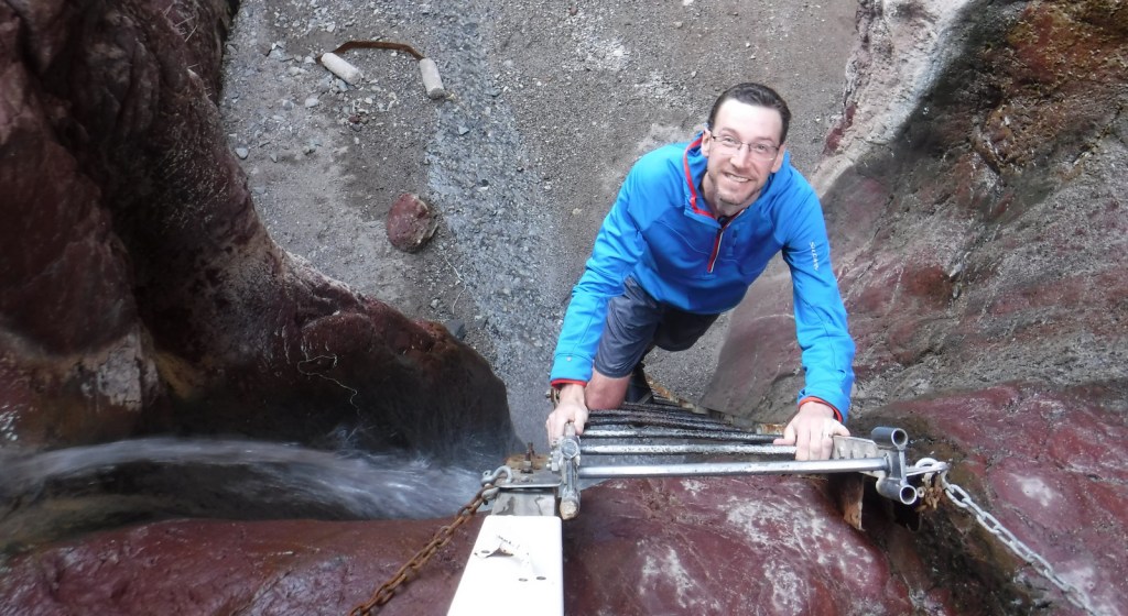
Scott climbing up to Arizona Hot Springs 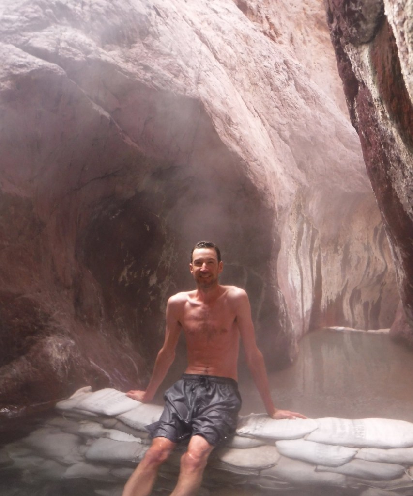
Scott at Arizona Hot Springs 
Pat Tillman Bridge from Black Canyon 
Tiff in Sauna Cave 
Emerald Cove 
Emerald Cove 

Redstone Trail
Explore More – Lake Mead is not often filled to capacity, so when was the last time its spillways were needed during a big snowmelt year?