Overview
The 2,320-mile long Mississippi River is legendary in our nation and well-known worldwide. Mississippi National River and Recreation Area (NRRA) covers 72 miles of the famous river’s course through Minnesota, from busy metropolitan sections in the Twin Cities to secluded stretches of water. Along this section it changes from its shallow headwaters to a powerful force at its confluence with the St. Croix River. Established in 1988, the National Park Service (NPS) owns only 35 acres of the 54,000 acres protected within the NRRA.

Highlights
St. Anthony Falls, Minnehaha Falls, Coldwater Spring, Indian Mounds Park, Mississippi Gorge Regional Park
Must-Do Activity
Near downtown Minneapolis is St. Anthony Falls, the only true waterfall on the Mississippi River’s entire length. The falls powered gristmills and sawmills on both banks that drove the settlement of Minneapolis-St. Paul. Opportunities for walking, biking, boating, fishing, cross-country skiing, and wildlife watching (especially at Minnesota Valley National Wildlife Refuge) abound along the river depending upon the season.
Best Trail
In winter, urban trails along the Mississippi River are very pretty under a layer of white snow, and it can be very quiet and peaceful.
Instagram-worthy Photo
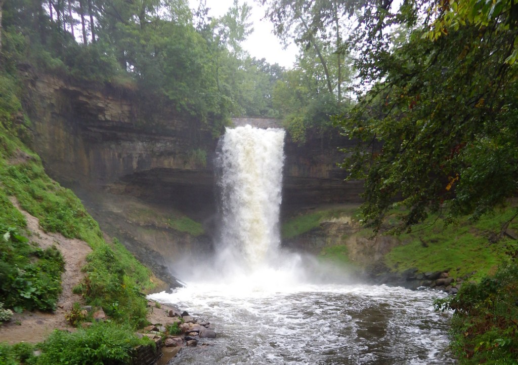
We enjoyed Minnehaha Regional Park where we found the 53-foot tall waterfall celebrated in Henry Wadsworth Longfellow’s Song of Hiawatha.
Peak Season
Summer
Hours
https://www.nps.gov/miss/planyourvisit/hours.htm
Fees
None
Road Conditions
All roads paved, but there is no free parking available at the NPS visitor center located inside the lobby for the Science Museum of Minnesota.
Camping
There are no campgrounds managed by the National Park Service within the NRRA, however, there are many places to camp in the area.
Related Sites
Saint Croix National Scenic Riverway (Minnesota-Wisconsin)
Missouri National Recreational River (Nebraska-South Dakota)
Pipestone National Monument (Minnesota)
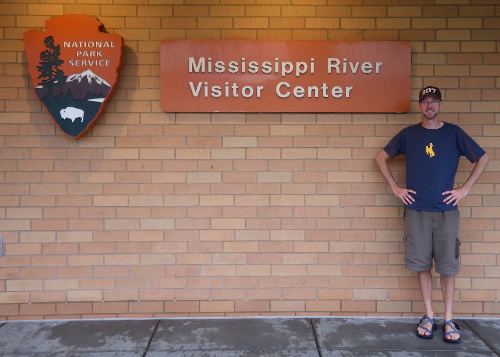
This NPS visitor center is located inside the lobby for the Science Museum of Minnesota. 
A nice view of the Stone Arch Bridge near St. Anthony Falls in Minneapolis. 
A view of an old mill from under the bridge 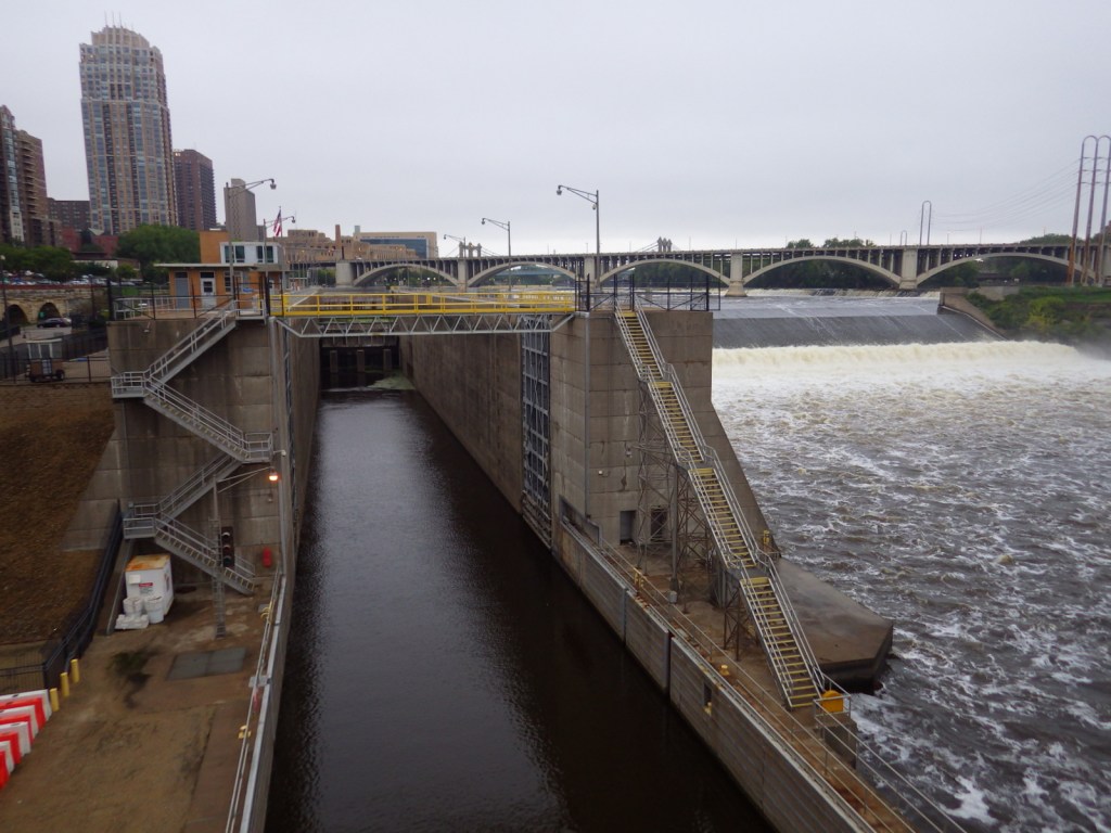
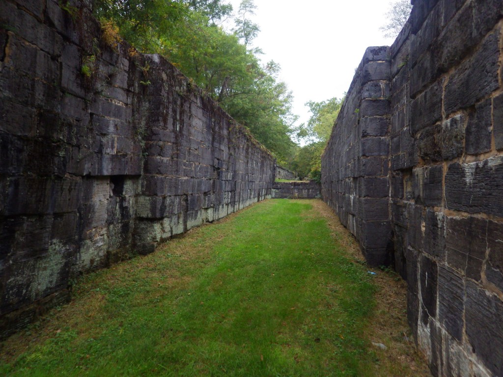
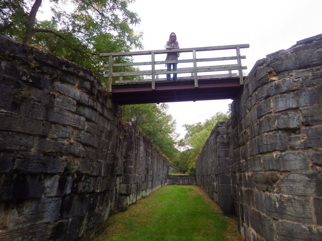
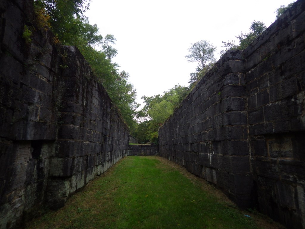
Upper St. Anthony Falls Lock and Dam 
St. Anthony Falls 

Scott at Minnehaha Falls 
Hiawatha sculpture 
The river walkways look different in the winter 
Gray squirrel 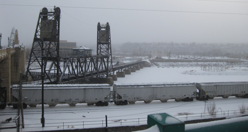
The Mississippi River in winter
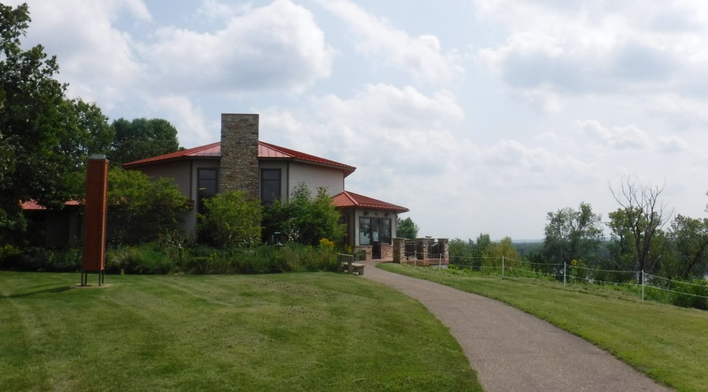
Great River Road Visitor Center in Prescott, Wisconsin 
Overlook at Great River Road Visitor Center 
Lock and Dam No. 2 in Hastings, Minnesota 
White pelicans at Lock and Dam No. 2
Explore More – What did the city of Minneapolis do to make sure Minnehaha Falls was flowing for President Lyndon B. Johnson’s visit during the 1964 drought?