Overview
The Hopewell Culture was found in southern Ohio from approximately 2,200 to 1,500 years before present. Sites are identified by their construction of geometric enclosures made of earth, primarily for burials. Many earth mounds were plowed under for farms or destroyed during construction of an army base in Chillicothe during the 1910s, which increased awareness of these archaeological treasures. In 1923, it was protected as Mound City Group National Monument and in 1992 expanded to become Hopewell Culture National Historical Park.

Highlights
Indian mounds, museum, film from 2016
Must-Do Activity
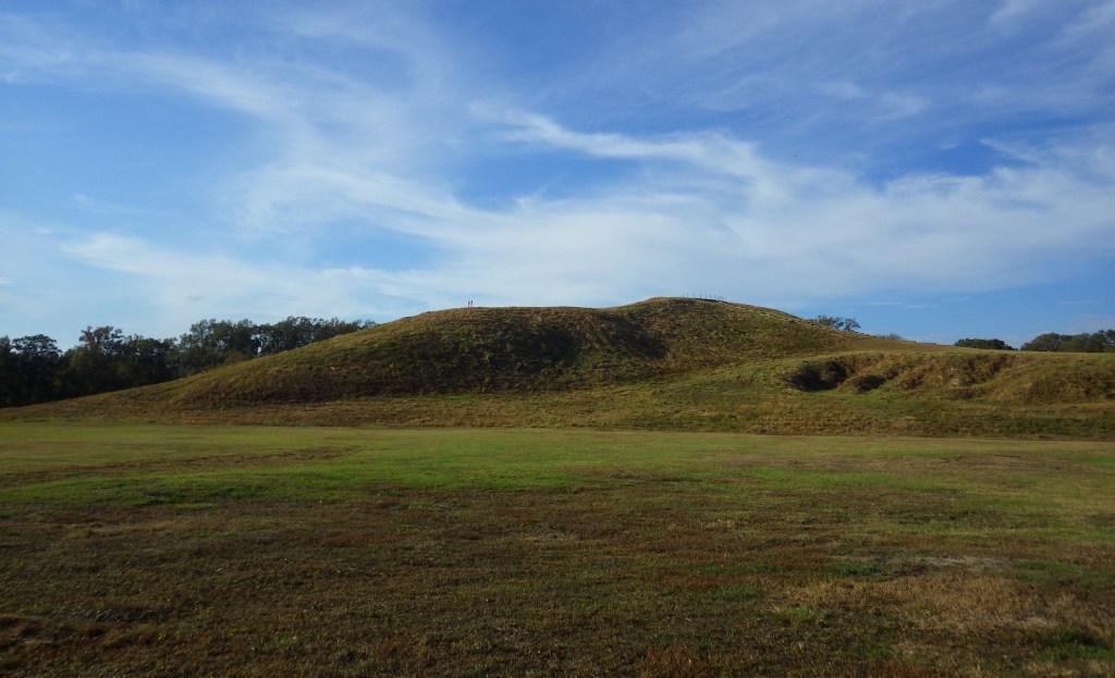
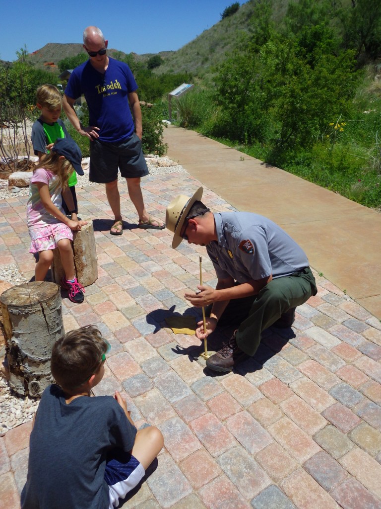
The National Park Service (NPS) visitor center in Chillicothe is small but has had recent updates, including the excellent film and displays of beautifully intricate artwork in the museum. From there you can walk to the Mound City Group on the Scioto River. Most of these 23 mounds are less than four feet tall, but the largest mound in the area was 33 feet high.
Best Trail
At separate portions of the National Historical Park, Tri-County Triangle bike path passes near the Hopewell Mound Group and the Ohio Historical Society maintains Seip Earthworks, 17 miles west of Chillicothe on Highway 50. Two other protected earthworks are closed to the public.
Instagram-worthy Photo
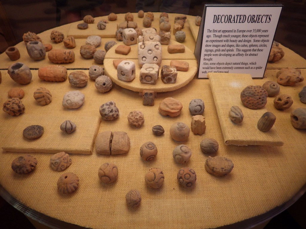
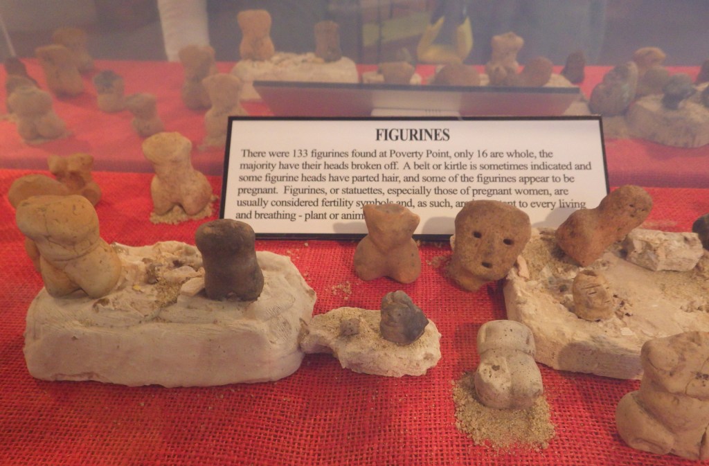
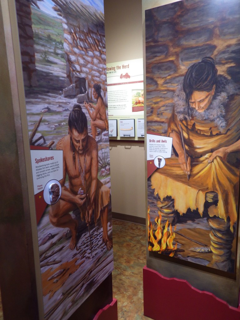
The Hopewell Culture must have had an extensive trading network to obtain the shells, copper, obsidian, and sharks’ teeth which have been excavated from their burial mounds and displayed artfully in the NPS museum.

Peak Season
Open year round
Hours
https://www.nps.gov/hocu/planyourvisit/hours.htm
Fees
None
Road Conditions
All roads paved or good gravel
Camping
There are private campgrounds in Chillicothe and state parks within 30 miles, including the scenic Hocking Hills.

Mounds were reconstructed following archaeological excavation in the 1920s 
You’ve got to respect the buckeye tree when traveling in the Buckeye State 
A rainy spring morning 

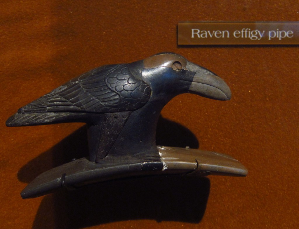
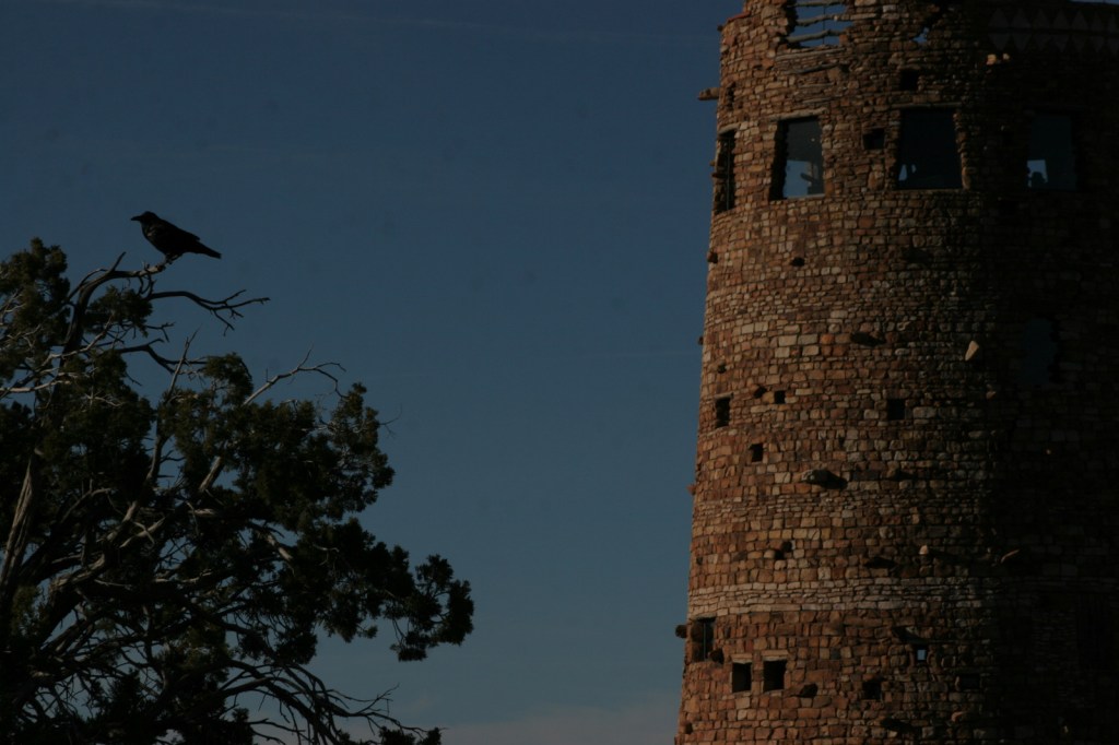
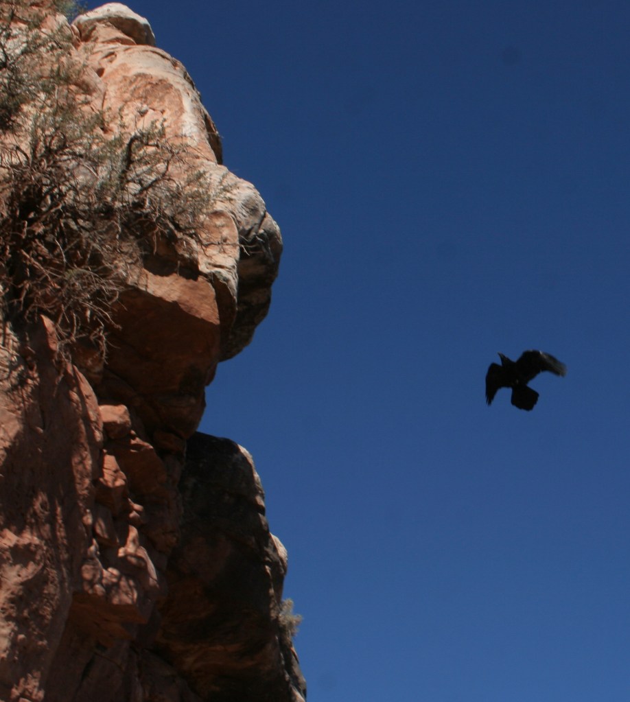
Raven! 
Wondon at the offsite Hopewell Mound Group
Explore More – Where in today’s United States of America did the copper and obsidian found here originate?