Tag Archives: Native American

Devils Tower National Monument

Wyoming

Managed by National Park Service

Established 1906

1,347 acres

Website: nps.gov/deto

Overview

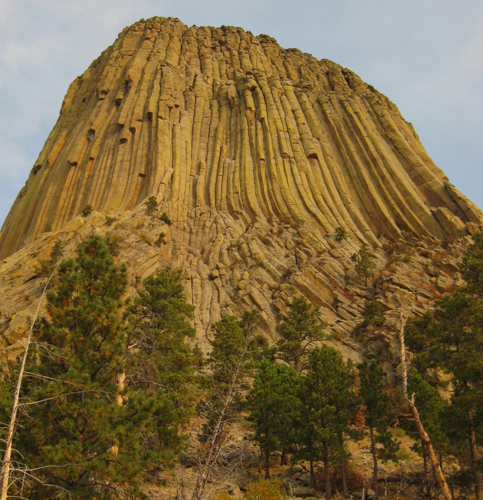
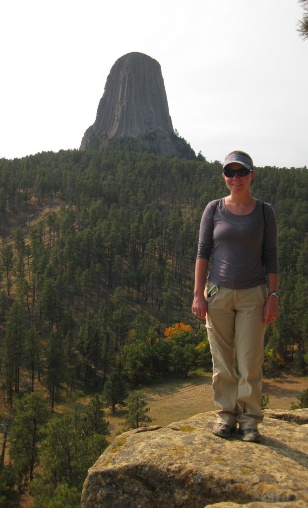
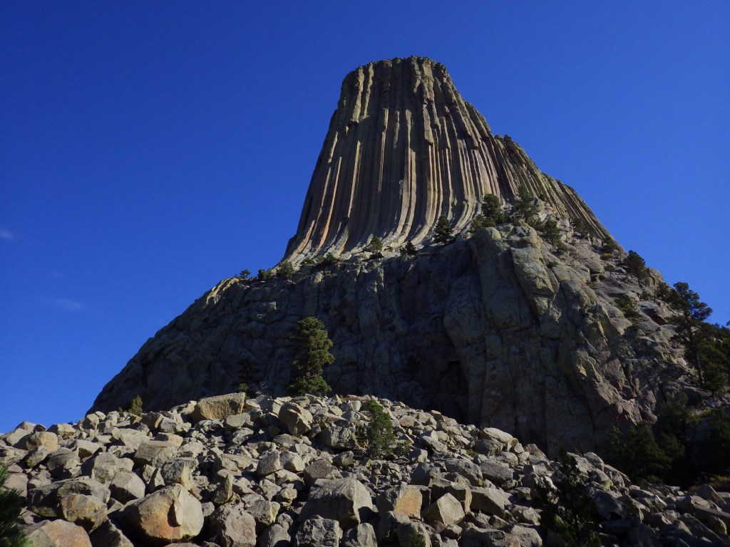
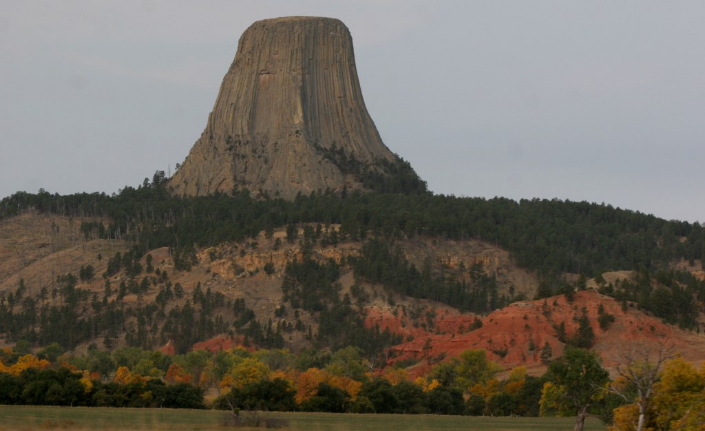
Devils Tower was named the United States’ first National Monument by President Teddy Roosevelt in 1906.  Legend has it that its deep stripes were made by the tearing claws of a giant bear attempting to climb after seven girls who were saved when the rock grew from three feet high to its current 867 feet.  You can see the girls today as the constellation Pleiades.  The bear came to rest in Bear Butte State Park in South Dakota.

Know someone who loves the National Monuments? Gift them our travel guidebook Monumental America: Your Guide to All 138 National Monuments that is available for sale on Amazon.com.
Highlights

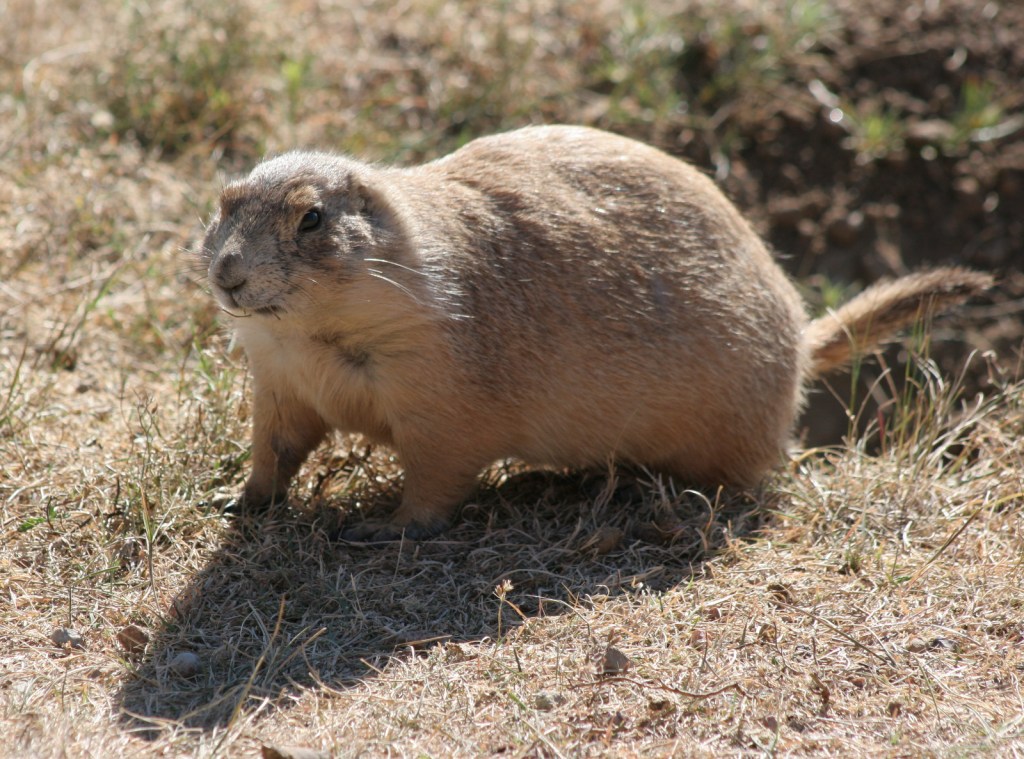
Tower Trail, Joyner Ridge Trail, Prairie Dog Town

Must-Do Activity

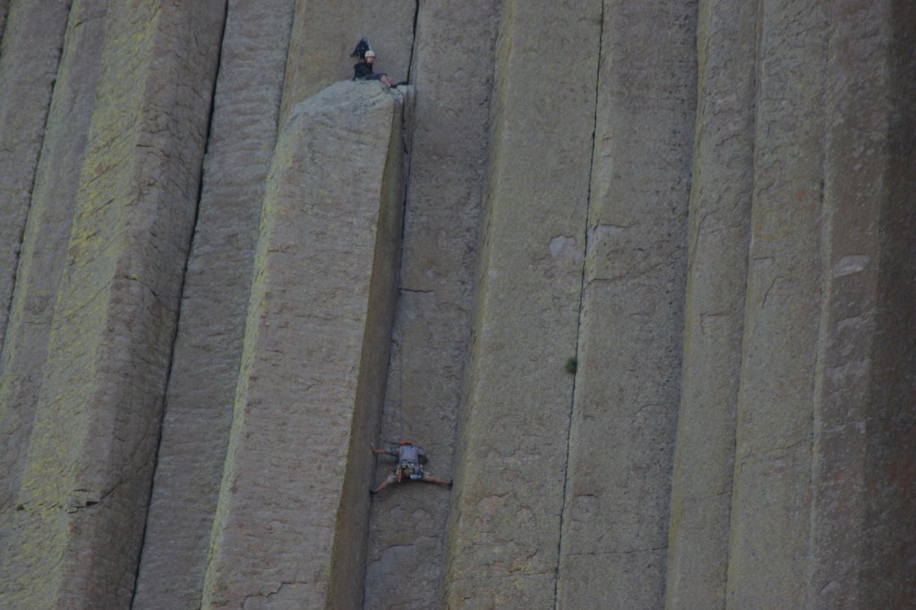
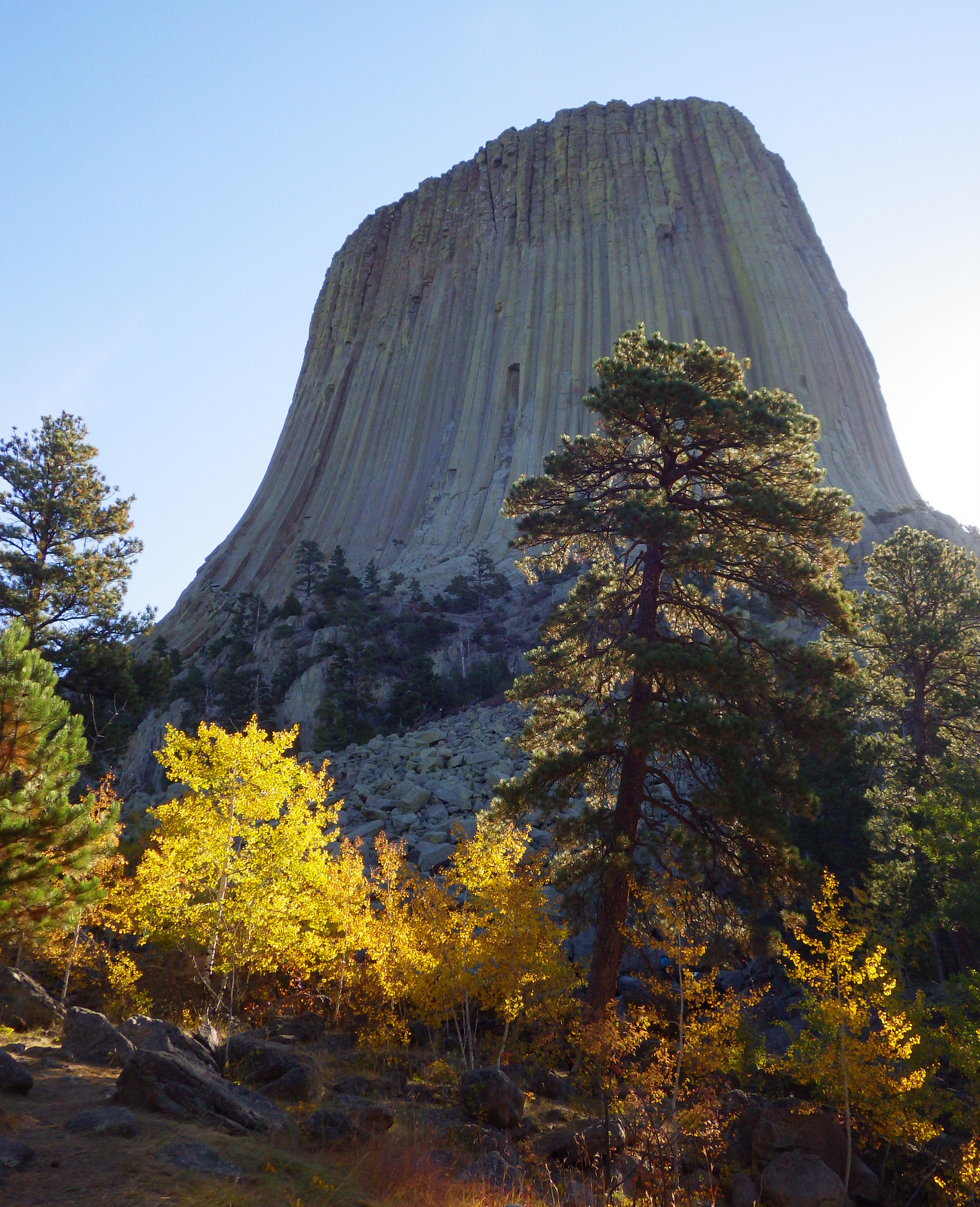
Devils Tower is a distinctive 50-million-year-old volcanic plug, whose steep sides have been an irresistible challenge to rock climbers for years.  Watch for them as you complete the 1.3-mile loop trail around the entire tower, as it looks different from every angle.  Also look for the colorful prayer cloths left by Native Americans, many of whom would prefer this sacred site be renamed Bear Lodge National Monument.

Best Trail

Joyner Ridge Trail provides a unique view of the tower and forms a 1.5-mile loop or connects to the longer Red Beds Trail that circumnavigates it.

Instagram-worthy Photo

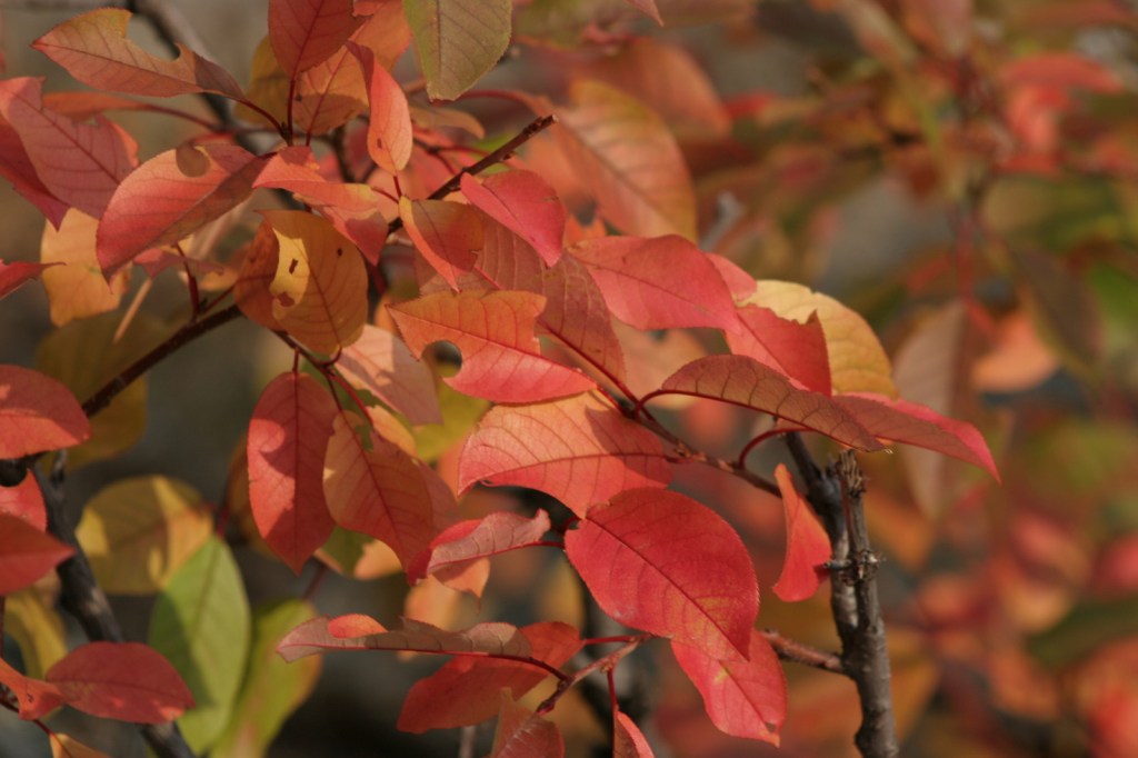
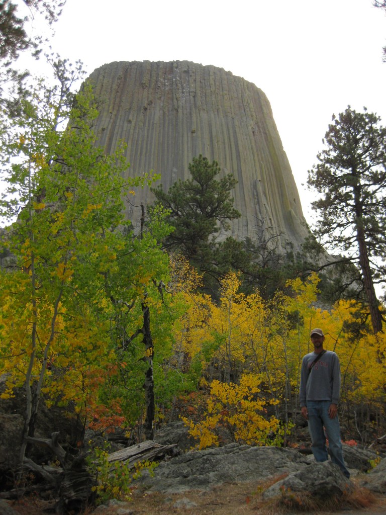
Visit in late September for fall foliage: golden quaking aspens and red chokecherry bushes.
Peak Season

Summer

Hours

https://www.nps.gov/deto/planyourvisit/hours.htm

Fees

$25 per vehicle or America The Beautiful pass

Road Conditions

Long vehicles must park just below the visitor center and hike a short ways up.  The short West Road to Joyner Ridge Trailhead is a good dirt road.

Camping

On the prairie below Devils Tower, a 50-site campground is located within a grove of cottonwood trees, with running water available May through October.  A private campground with RV hookups is located near the park entrance. Dispersed camping is possible in parts of Black Hills National Forest, but be careful to avoid private inholdings.

Related Sites

Yellowstone National Park (Wyoming-Montana-Idaho)

Black Hills National Forest (South Dakota-Wyoming)

Fossil Butte National Monument (Wyoming)

Grand Teton National Park (Wyoming)

Nearest National Park
Wind Cave

Explore More – How is park connected with the classic 1978 film Close Encounters of the Third Kind?

Learn more about the other 137 National Monuments in our book Monumental America: Your Guide to All 138 National Monuments

Sitka National Historical Park

Overview

Sitka National Historical Park offers a good introduction to the Russian and native influences on this region, as well as a forested trail past beautifully carved totem poles.  Created in 1910, it was the first National Park Service (NPS) site in Alaska, nearly 50 years before statehood.

Highlights

1843 Russian Bishop’s House, Russian Orthodox cathedral, totem poles
Must-Do Activity

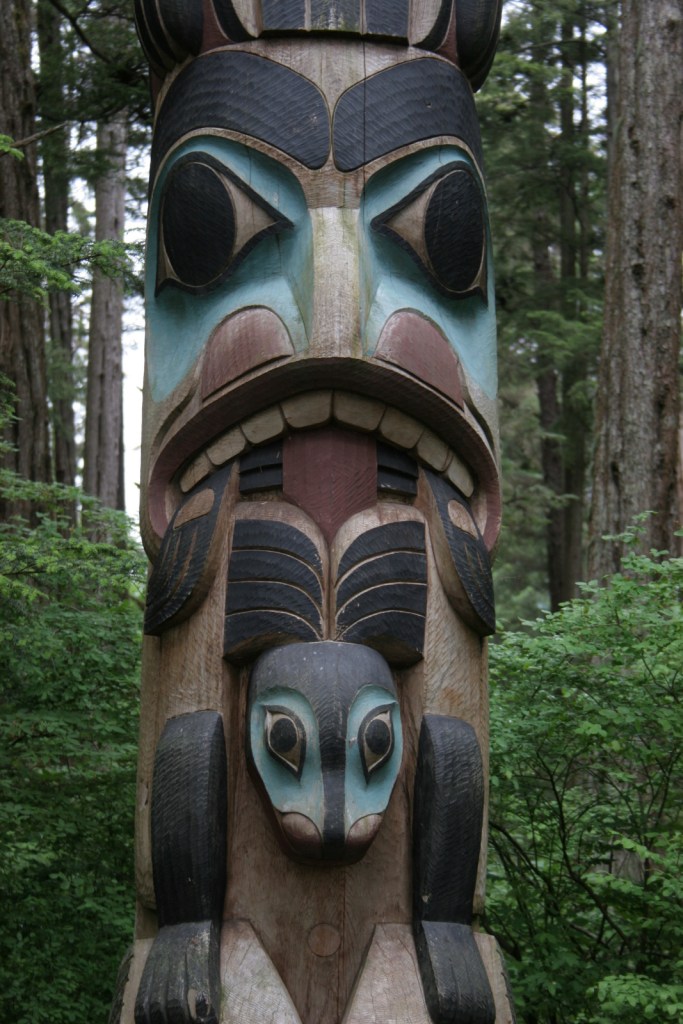
Two miles of trails wind through the spruce forest passing more than a dozen totem poles and the site of Kiks.ádi Fort where the 1804 battle took place between Russian fur traders and the native Tlingit community.  To further experience the Tlingit culture, attend a traditional dance at Shee’tka Kwaan Naa Kahidi Community House. 

Best Trail

The adventurous can summit 3,354 foot Mount Verstovia for unsurpassed views of the harbor and the mountainous heart of Baranof Island.  This steep route takes all day, starting with numerous switchbacks before the trail disappears and scrambling over rocks to the top.  Also scenic, Indian River Trail is a flatter alternative.

Instagram-worthy Photo

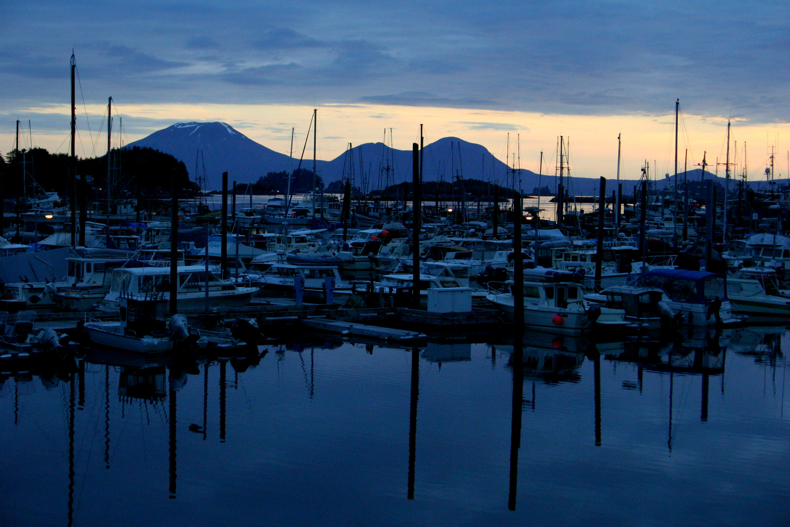
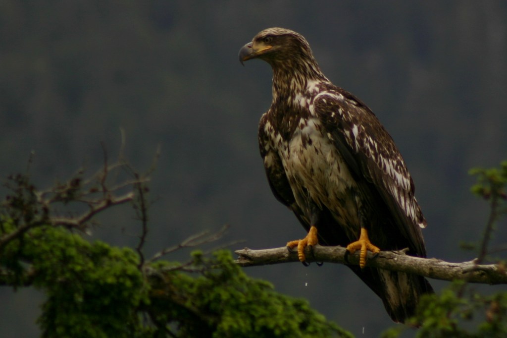
Jagged peaks and tiny forested islands make Sitka the most beautiful spot in Southeast Alaska.  Bald eagles abound in trees around the town’s quiet boat docks, while the volcanic cone of Mount Edgecumbe sits zen-like off to the west. 

Peak Season

Summer

Hours

https://www.nps.gov/sitk/planyourvisit/hours.htm

Fees

None

Road Conditions

There are no roads to Sitka, so you have to take an airplane, cruise ship, or ferry.  The main road on Baranof Island is paved and it is less than a mile walk to access the NPS visitor center from downtown.

Camping

Campsites are available at Blue Lake down a dirt road east of town in Tongass National Forest or at Old Sitka State Historic Park near the ferry terminal.

Explore More – When did the official transfer of Alaska from Russia to the U.S.A. take place on Castle Hill in Sitka (then known as New Archangel)?

Knife River Indian Villages National Historic Site

Overview

The Mandan and Hidatsa lived and farmed side-by-side near the banks of the Missouri River for centuries before Euro-Americans arrived in search of furs, bringing smallpox and other diseases.  The Corps of Discovery led by Lewis and Clark over-wintered here in 1804-05.  Eventually the Mandan and Hidatsa were forced to abandon their villages, later joining the Arikara to form the Three Affiliated Tribes. 

Highlights

Reconstructed earthlodge, museum, riverside village sites

Must-Do Activity

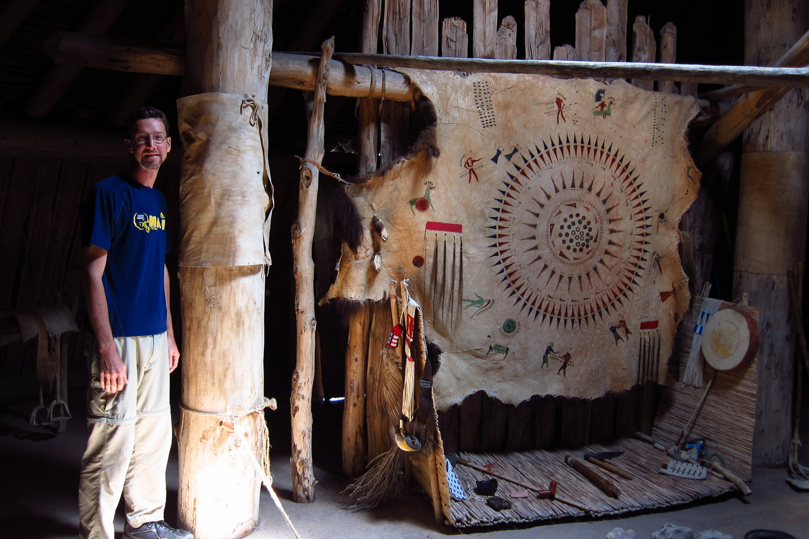
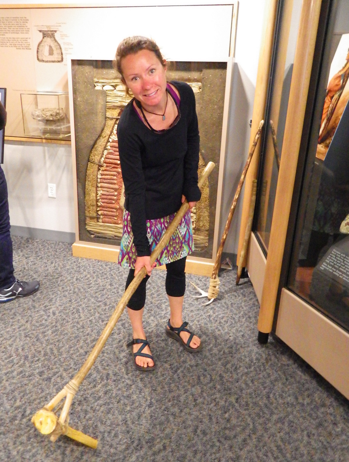
Many artifacts recovered on site are displayed inside the National Park Service (NPS) visitor center, some suggesting inhabitation by Paleo-Indians as far back as 11,000 years ago.  You can even try out a hoe made from a bison scapula.

Best Trail

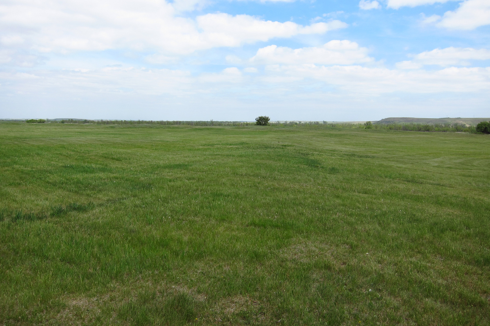
From the visitor center a trail leads to the Milk River, a tributary to the much larger (and more flood prone) Missouri River.  Each lump on the grass that you pass was once an earthlodge, which is easier to see in the overhead photograph on the interpretive sign.  You can drive to two other trailheads that provide access to the Missouri River and the site of Big Hidatsa Village.

Instagram-worthy Photo

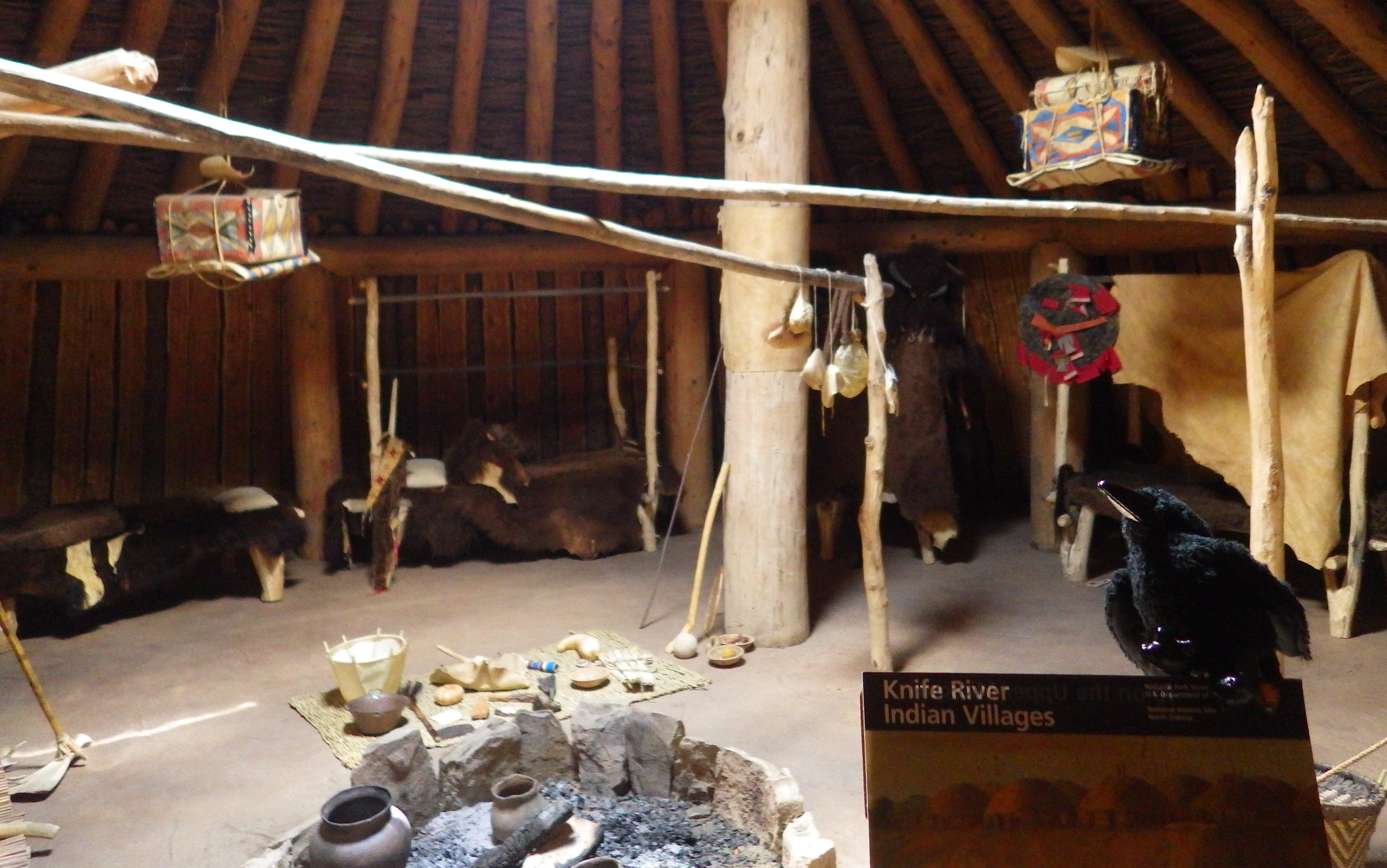
There is not much evidence left of the hundreds of earthlodges that once stood in these three villages, but there is one reconstruction that visitors can enter to exemplify the spacious dwellings.  An earthlodge actually required a large amount of wood to provide structure.

Peak Season

Summer

Hours

https://www.nps.gov/knri/planyourvisit/hours.htm

Fees

None

Road Conditions

All roads paved

Camping

Sakakawea State Park is 15 miles north of this site.

Explore More – What famous traveling companions did Lewis and Clark first meet here in 1804?

Tuzigoot National Monument

Overview

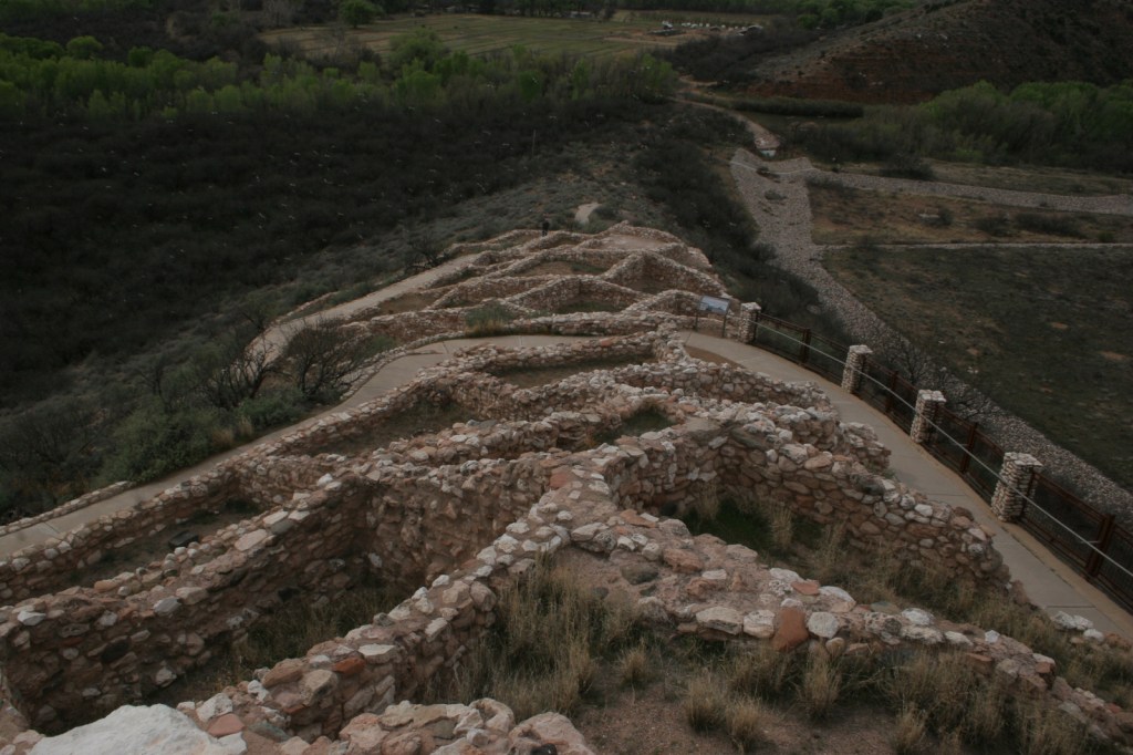
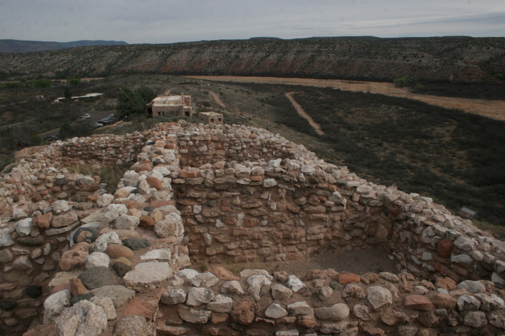
The Verde River Valley was first permanently settled by the agrarian Hohokam culture around AD700.  The ruins seen here today were built between AD1000 and 1400 by the Sinagua, who left many behind many structures in this region.

Highlights

Ruins, museum, scenic views

Must-Do Activity

The Sinagua pueblo at Tuzigoot had about 110 rooms and is estimated to have housed 200 to 300 people.  You can walk inside portions of the ruin, including a section with a reconstructed roof.

Best Trail

A trail leads to an overlook of Tavasci Marsh, a wetland important to wildlife.

Instagram-worthy Photo

Tuzigoot pueblo was strategically placed atop a 120-foot high limestone outcrop with commanding views in all directions, but was not a cliff dwelling like those built later at nearby Montezuma Castle and Walnut Canyon National Monuments.

Peak Season

Summer, though it can get hot in the afternoons

Hours

https://www.nps.gov/tuzi/planyourvisit/hours.htm

Fees

$15 per person or America The Beautiful pass

Road Conditions

All roads paved

Camping

Outside the town of Cottonwood, Dead Horse State Park offers campsites with RV hookups and showers.

Explore More – What is the English translation of the Apache word Tuzigoot?

Pu‘uhonua o Hōnaunau National Historical Park

Overview

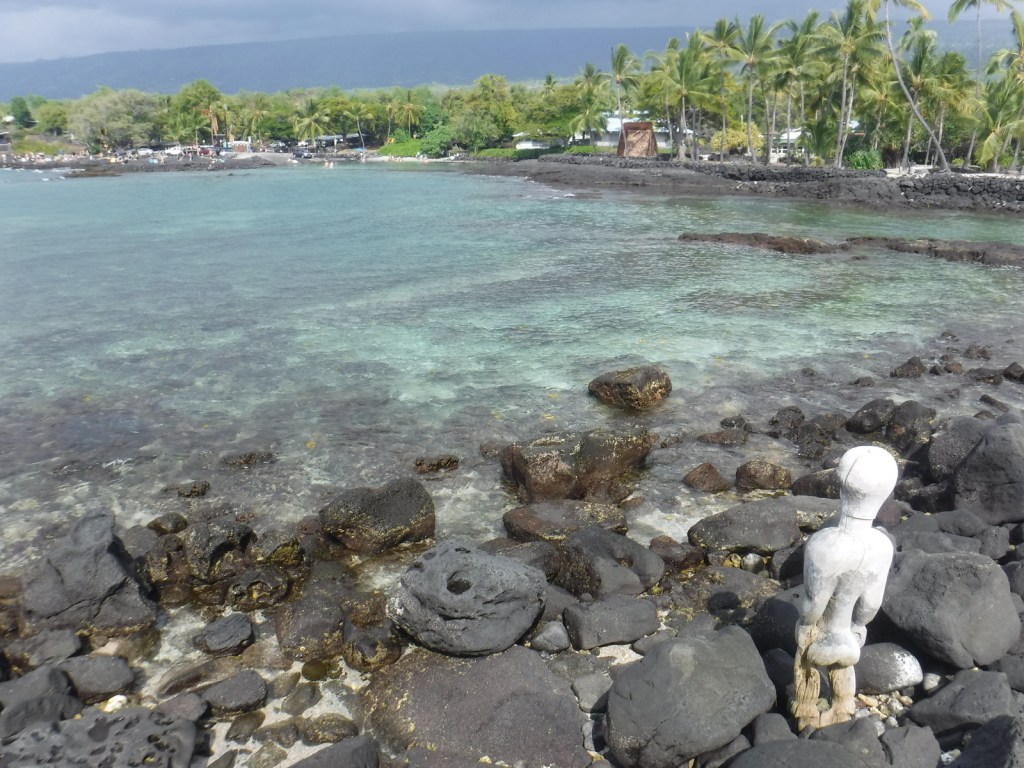
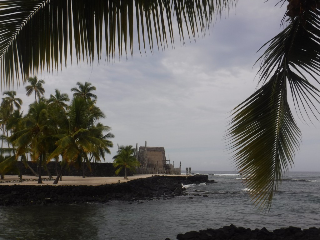
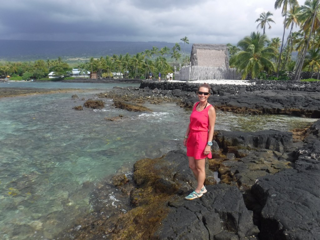
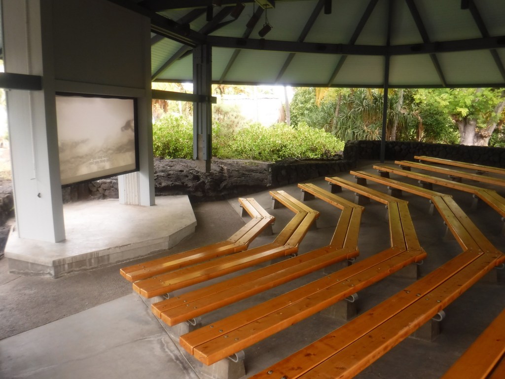
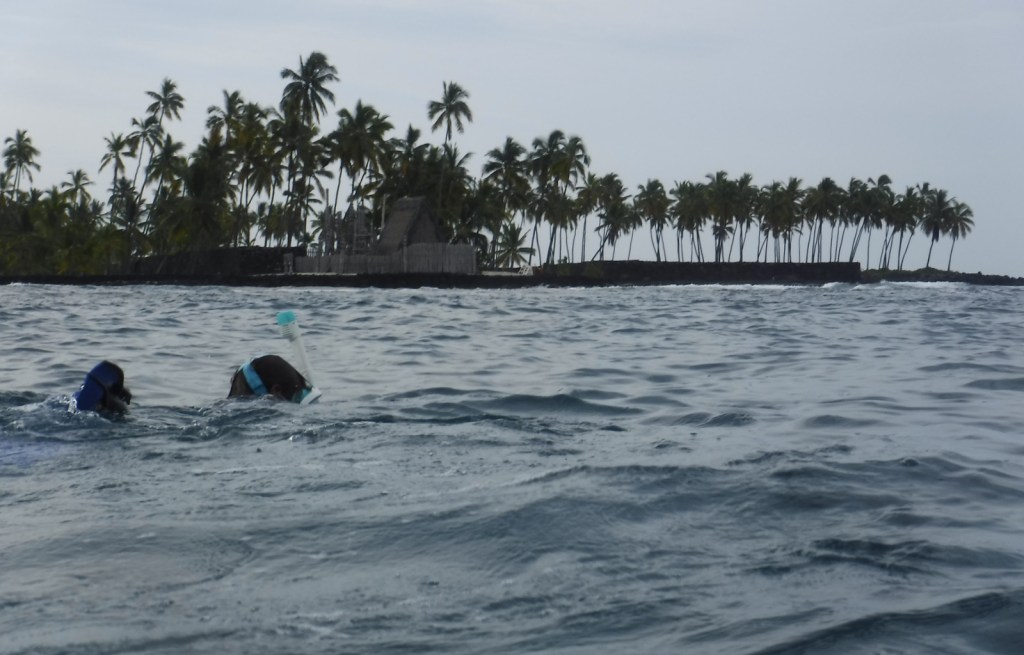
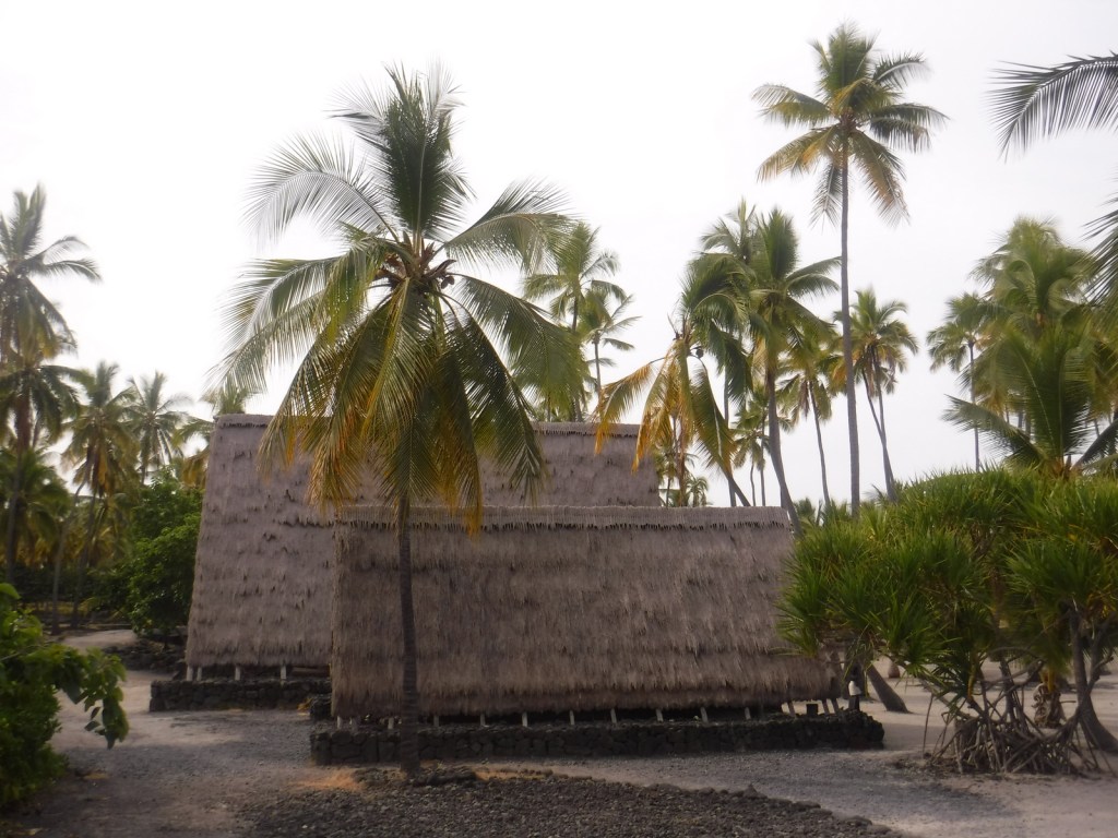
On the dry western side of the Big Island of Hawai‘i, south of the bustling port city Kailua-Kona, Pu‘uhonua o Hōnaunau National Historic Park is home to a reconstructed village that provides a glimpse into the daily life of the indigenous people hundreds of years ago.  The National Park Service (NPS) offers a visitor center, picnic area, and a festival held annually in July.

Highlights

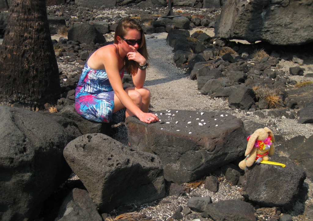
Hale o Keawe temple, kōnane game tables, fish ponds, Ki‘ilae village

Must-Do Activity

Adjacent to the popular snorkeling area dubbed “Two-Step,” this park sees its share of sea turtles.  Though these green sea turtles nest 800 miles to the northwest in the French Frigate Shoals, the well-known hula dance actually imitates the digging motions of a female turtle laying her eggs.  In the winter, watch for migrating humpback whales that spout and jump just offshore. 

Best Trail

Pu‘uhonua o Hōnaunau was a “place of refuge” for vanquished warriors, noncombatants, and kapu (taboo) breakers to be absolved by a kahuna pule (priest) so they could return home in peace.  It was separated from the Royal Grounds by a 10-foot wall built in AD1550, which can be seen along the Ala Kahakai National Historic Trail that runs through the park to access Ki‘ilae village.

Instagram-worthy Photo

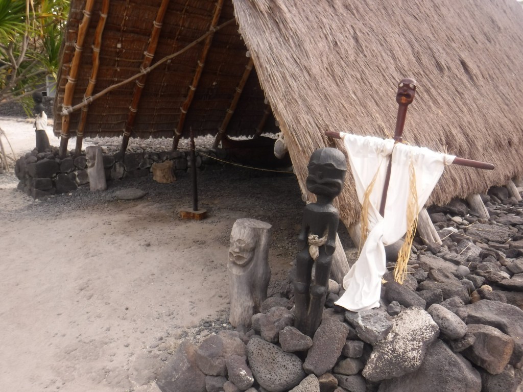
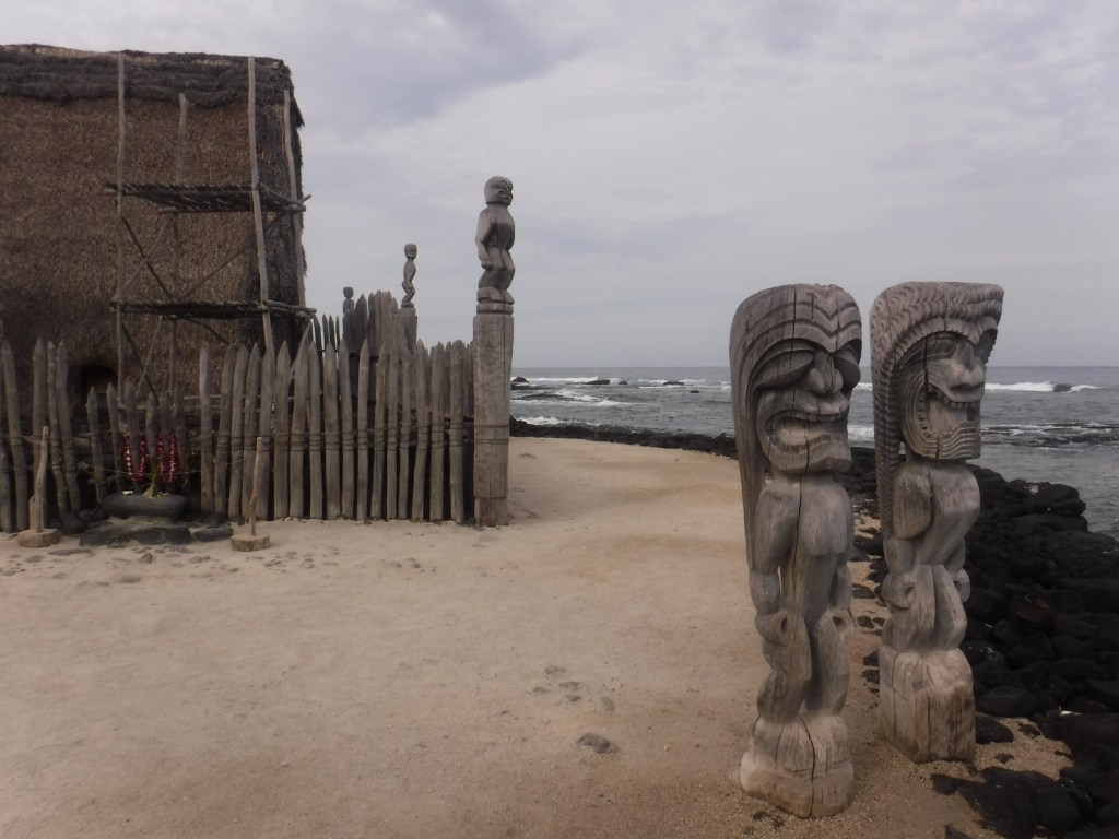
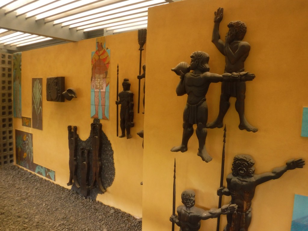
Carved wooden ki‘i are guardians of this place of refuge and stand next to this reconstruction of a temple and mausoleum that held the bones of 23 ali‘i (noble chiefs).  Ho‘okupu (offerings) were placed on the lele (tower) next to them.

Peak Season

The beach makes this spot popular year round

Hours

https://www.nps.gov/puho/planyourvisit/hours.htm

Fees

$15 per vehicle or America The Beautiful pass

Road Conditions

All roads paved

Camping

County and state parks on the leeward west coast of this island are great places to camp and relax under palm trees listening to the waves break.

Related Sites

Kaloko-Honokōhau National Historical Park (Hawai’i)

Pu‘ukoholā Heiau National Historic Site (Hawai’i)

Haleakalā National Park (Hawai’i)

Explore More – What was the most severe punishment for breaking a kapu (taboo), such as letting your shadow fall on Royal Grounds?