Arapaho National Forest
Colorado
Managed by U.S. Forest Service, Rocky Mountain Region
770,604 acres (724,678 federal/ 45,926 other)
Website: https://www.fs.usda.gov/arp
Overview
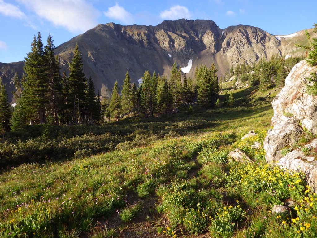
Arapaho National Forest is managed jointly with Roosevelt National Forest and Pawnee National Grassland in northern Colorado. Easily accessible from Interstate 70 west of Denver, the National Forest is best known for its many ski resorts. Mt. Blue Sky (formerly Evans) Highway and Guanella Pass Scenic Byway provide access to the high country in the summer when a rainbow of wildflowers bloom, both above and below treeline.
Highlights
Arapaho National Recreation Area, Mt. Blue Sky (formerly Evans), St. Mary’s Glacier, Guanella Pass Scenic Byway, Devil’s Thumb Lake, Berthoud Falls, Ute Peak, Boardwalk Trail, Continental Divide National Scenic Trail
Must-Do Activity
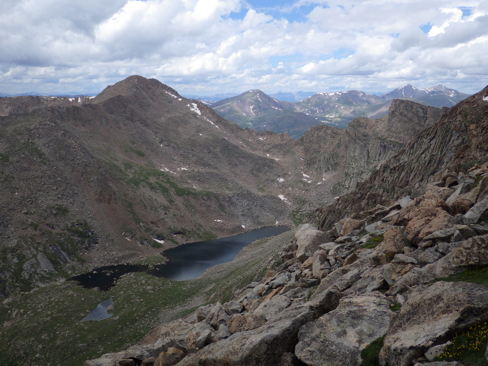
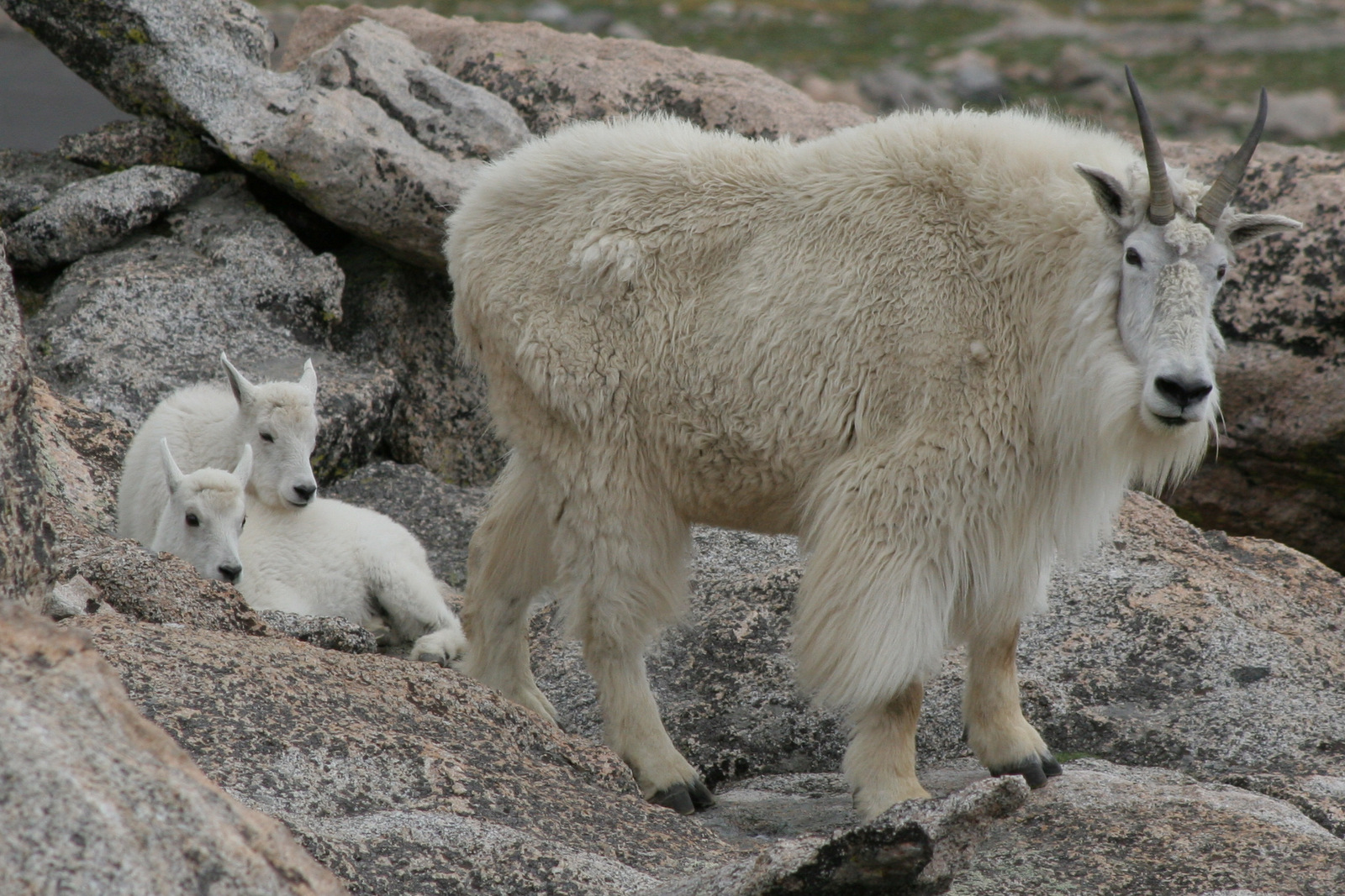
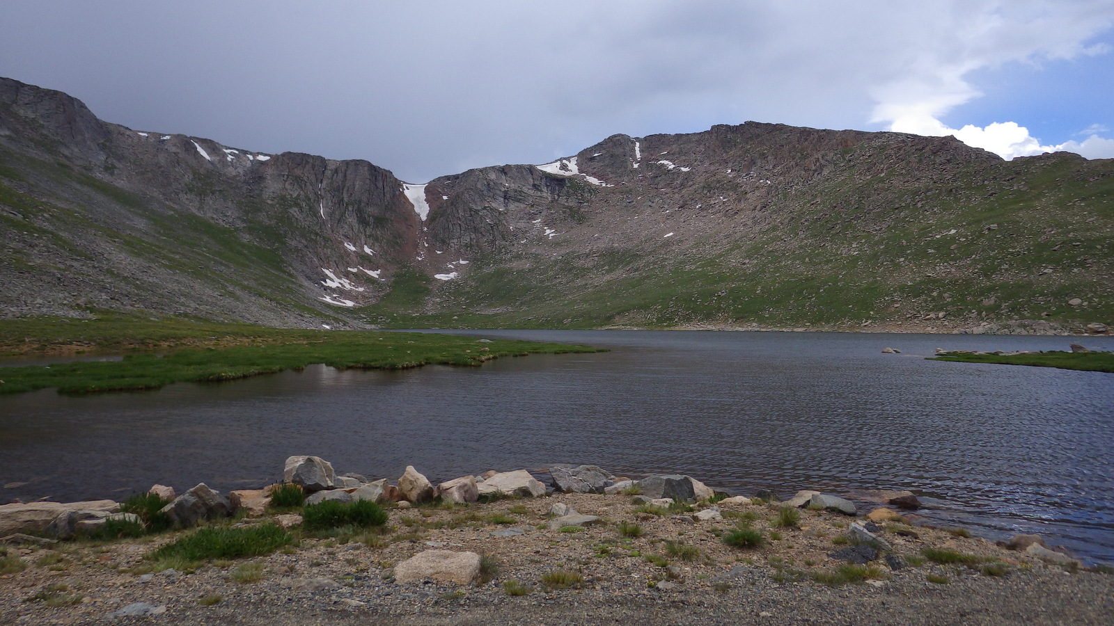
Located just west of Denver, the Mt. Blue Sky (formerly Evans) Highway (the highest fully-paved road in North America) provides access to the rarely-seen world above 14,000 feet in elevation. Online reservations are now required before you show up, so be sure to click to include a stop at Mt. Goliath Research Natural Area, which provides an interpretive hike through a forest of long-lived Rocky Mountain bristlecone pine trees. Keep your eyes sharp for bighorn sheep and mountain goats along the road once you hit the switchbacks around Summit Lake. While the Crest House is no longer in business near the summit, you can still park there and walk the remaining one-hundred feet to the top of the 14,264-foot peak for unsurpassed views.
Best Trail
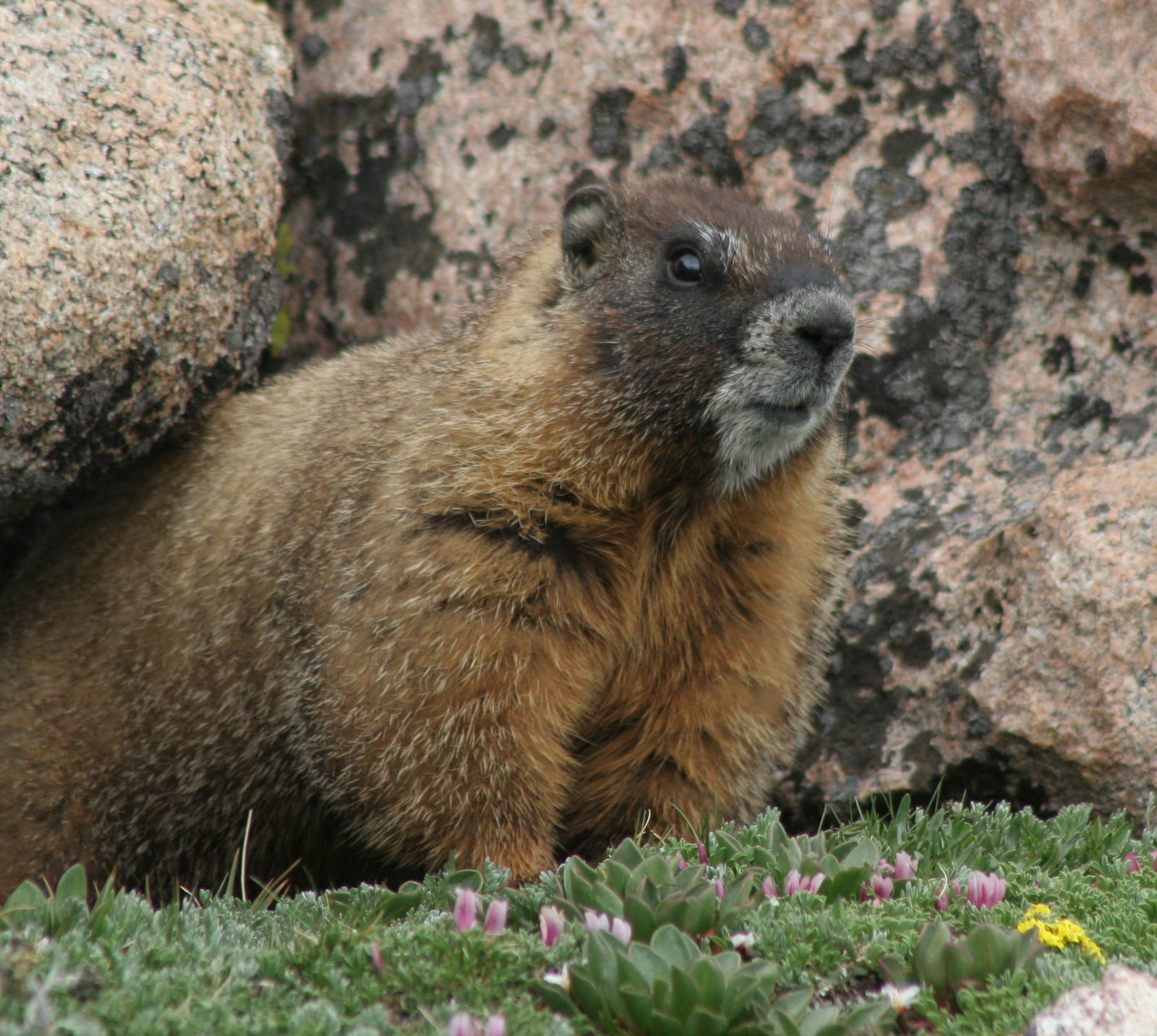
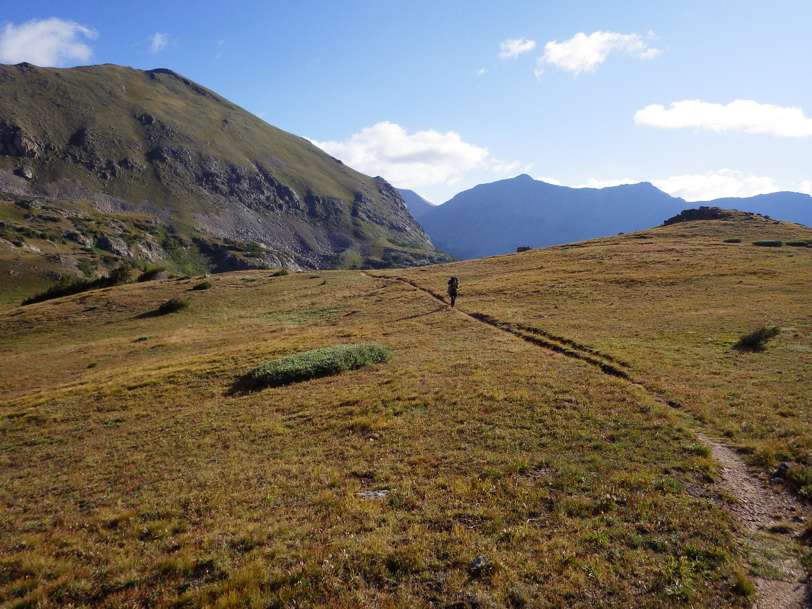
The easiest way to access the aptly-named Never Summer Wilderness is from the Kawuneeche Valley in Rocky Mountain National Park. You can backpack the 18-mile loop of Baker Gulch to Bowen Gulch in either direction, but keep an eye out for moose as we saw six along the way! High elevation dwellers like yellow-bellied marmots and pikas were also abundant along the trail, which enters Routt National Forest on the west side of Fairview Mountain.
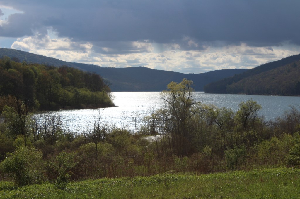
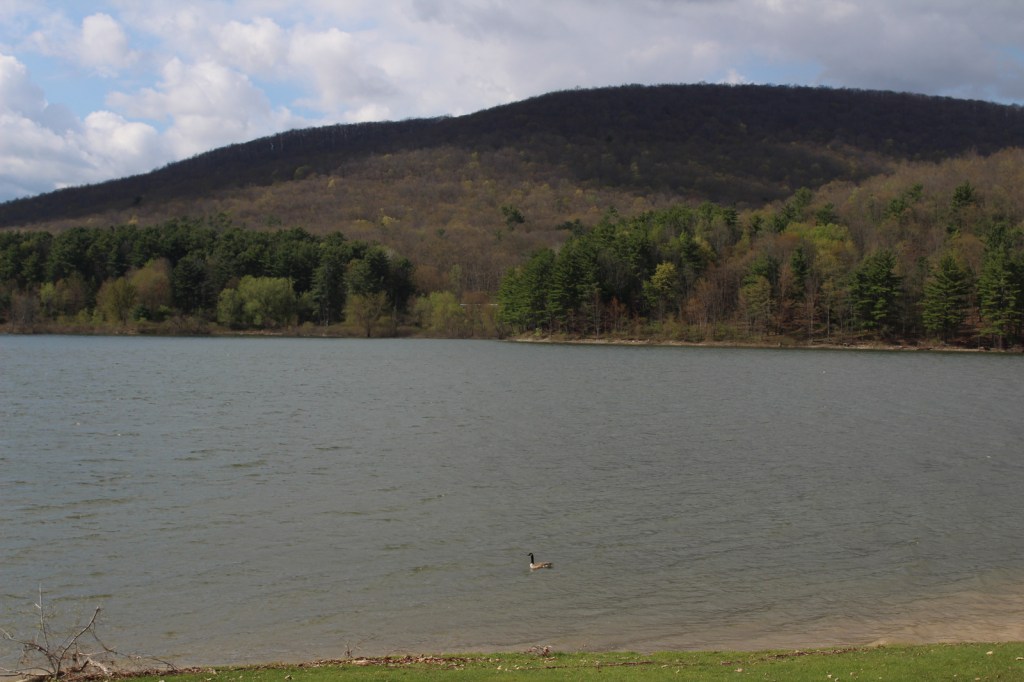
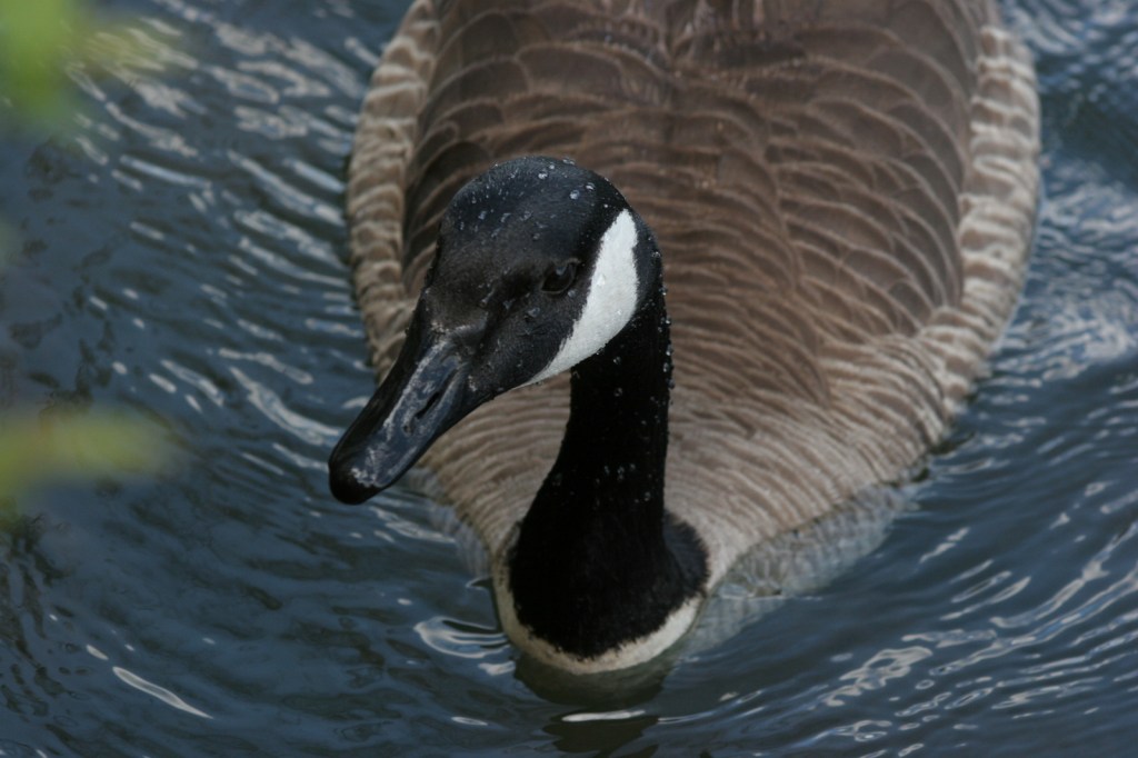
Watchable Wildlife
Moose and elk can be found throughout the National Forest, but are often easiest to locate around the west entrance to Rocky Mountain National Park. Bighorn sheep and mountain goats are known to approach cars on the paved road to the top of Mt. Blue Sky (formerly Evans). During our January visit to Arapaho National Recreation Area we spotted a river otter and ouzel (or dipper, a swimming songbird) in one of the few sections of unfrozen creek.
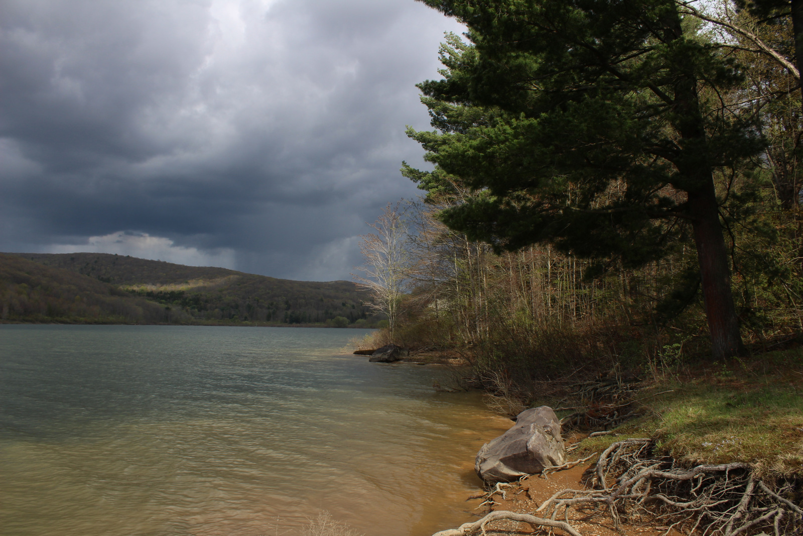
Instagram-worthy Photo
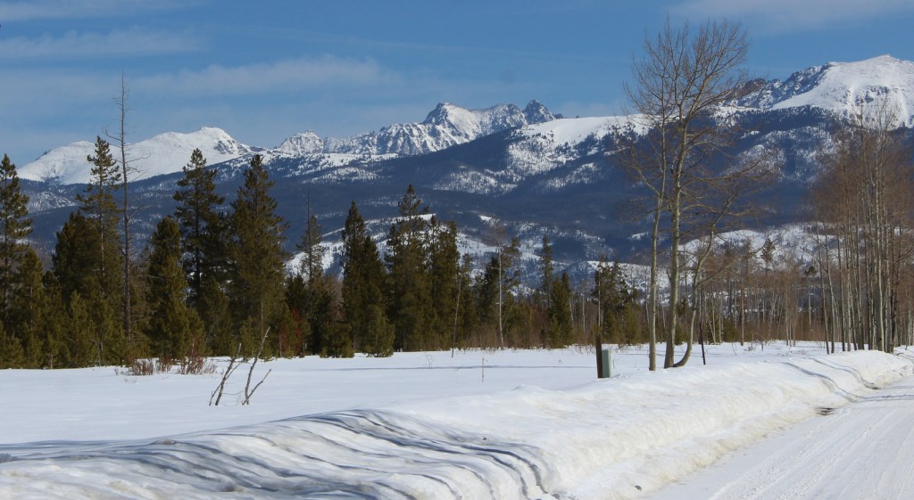
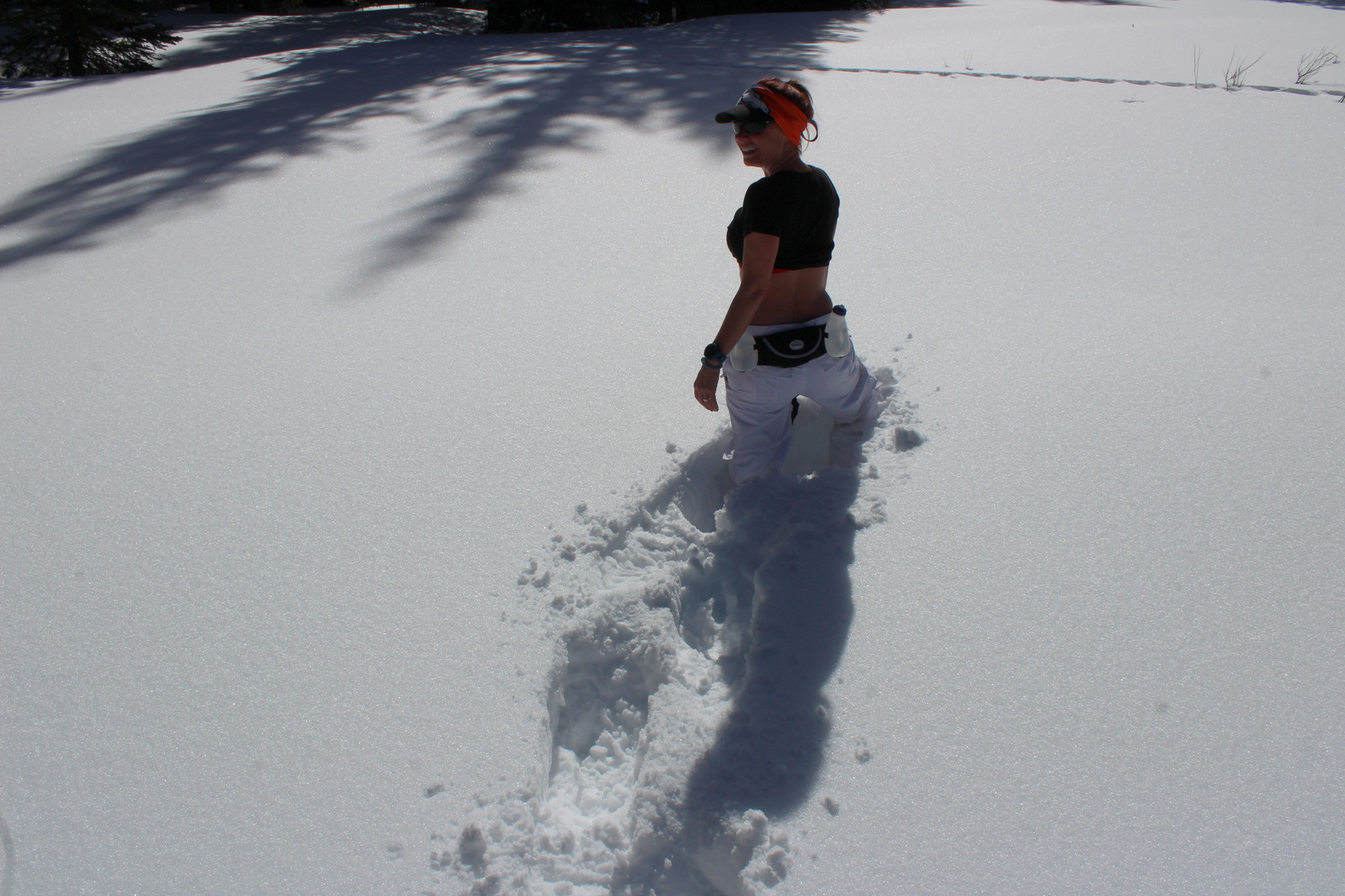
North of the ski resort town of Winter Park is Fraser Experimental Forest, managed by the U.S. Forest Service’s Rocky Mountain Research Station. In winter, roads within Fraser Experimental Forest are closed and turn into routes for cross-country skiers and snowshoers with no entry fee charged.
Peak Season
Summer
Fees
A $15 fee is charged per vehicle (online reservation required before arrival, $2 fee even if you use your America the Beautiful pass) to drive the one-way Mt. Blue Sky (formerly Evans) Highway during its short open season. Also during the summer, day-use fees apply at Fraser Experimental Forest and Arapaho National Recreation Area.
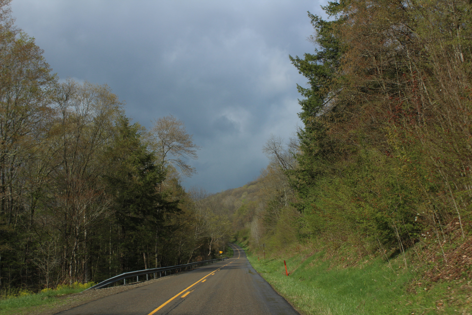
Road Conditions
The road to the top of Mt. Blue Sky (formerly Evans) is paved the whole way, but there are plenty of rough dirt roads to explore throughout Arapaho National Forest. The road back to Monarch Lake is closed seasonally in Arapaho National Recreation Area.
Camping
Campgrounds fill up in the summer and even the dirt roads around the west entrance to Rocky Mountain National Park can be jam-packed with dispersed campers. There are some scenic campgrounds around Fraser Experimental Forest near Winter Park, Colorado.
Wilderness Areas
Byers Peak Wilderness
Eagles Nest Wilderness (also in White River National Forest)
Indian Peaks Wilderness (also in Roosevelt National Forest)
Mt. Blue Sky (formerly Evans) Wilderness (also in Pike National Forest)
Never Summer Wilderness (also in Routt National Forest)
Ptarmigan Pass Wilderness
Vasquez Peak Wilderness
Related Sites
Arapaho National Recreation Area (Colorado)
Florissant Fossil Beds National Monument (Colorado)
Sand Creek Massacre National Historic Site (Colorado)
Nearest National Park
Rocky Mountain (Colorado)


Engelmann spruce, Colorado blue spruce, subalpine fir, Douglas-fir, Rocky Mountain bristlecone pine, ponderosa pine, lodgepole pine
Flowering Tree Species
quaking aspen, Rocky Mountain maple, narrowleaf cottonwood, mountain ash, dwarf willow, Scouler willow, mountain willow, alpine fen willow, purple-twig willow, sandbar willow, Geyer’s willow, Wolf’s willow
Explore More – When did research begin in Fraser Experimental Forest on the response of conifer species to different harvesting techniques, insect outbreaks, and climate conditions?


We are a participant in the Amazon Services LLC Associates Program, an affiliate advertising program designed to provide a means for us to earn fees by linking to Amazon.com and affiliated sites.