We like to make Top 10 Lists for our readers to prioritize where to go, so here is a new one we came up with specifically to celebrate our 500th blog post. If we already have a post highlighting the type of natural wonder mentioned, we included a link (plus a few extra for future posts). These lists are by no means exhaustive of all the states or public lands where you can witness these phenomena. Click here for all our Top 10 Lists.
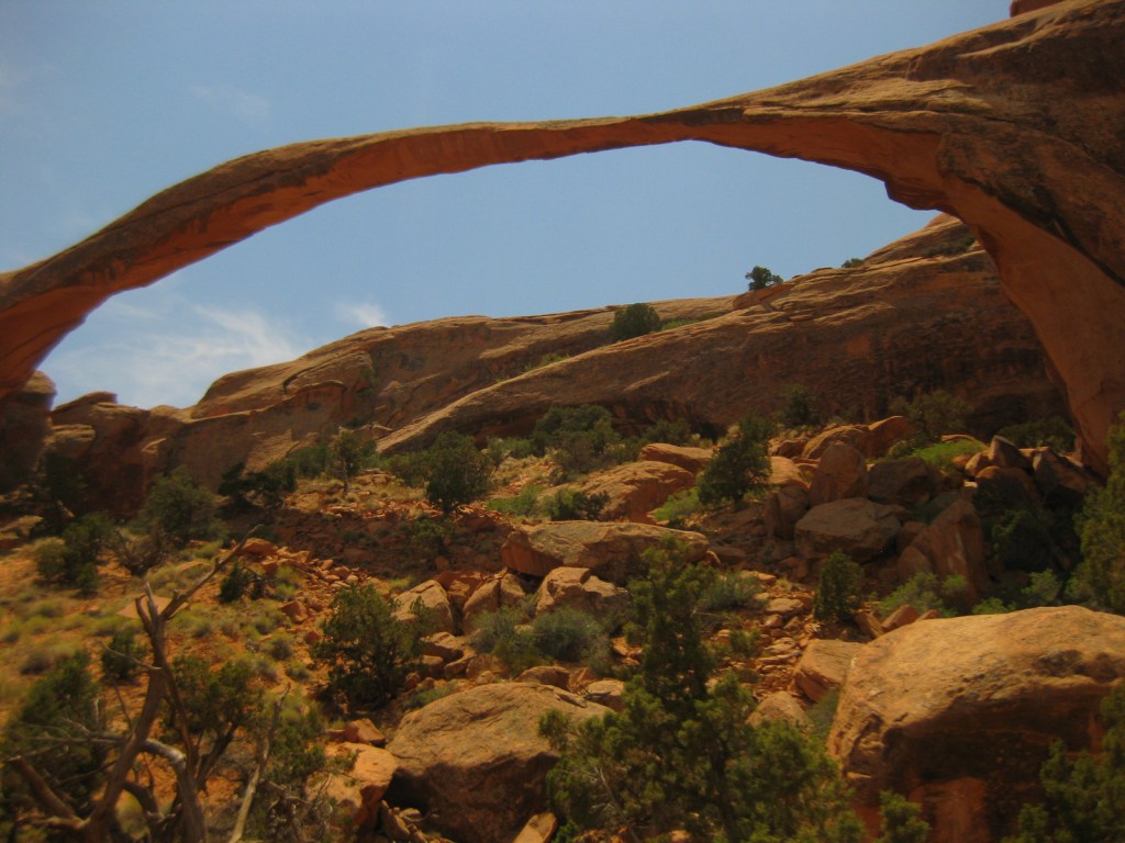
10. Natural bridge or arch (Alabama, Arkansas, Kentucky, Nevada, Ohio, Utah, Virginia, Wyoming)
Arches National Park, Canyonlands National Park, Capitol Reef National Park, Daniel Boone National Forest, Natural Bridges National Monument
9. Sand dune field (California, Colorado, Indiana, Michigan, New Mexico, Texas, Utah)
Death Valley National Park, Great Sand Dunes National Park and Preserve, Indiana Dunes National Park, Mojave National Preserve, Sleeping Bear Dunes National Lakeshore, White Sands National Park

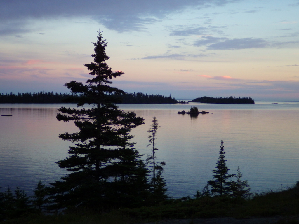
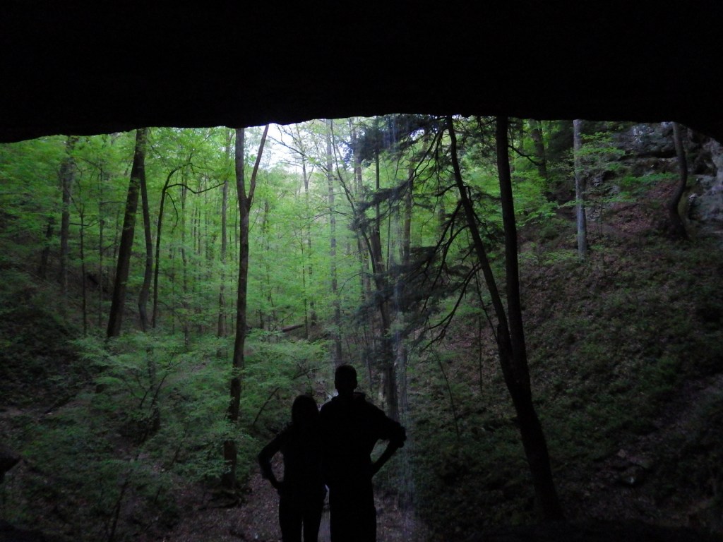
8. Sea cave (California, Michigan, Oregon, Wisconsin)
Apostle Islands National Lakeshore, Channel Islands National Park, Pictured Rocks National Lakeshore
7. Slot canyon (Arkansas, California, New Mexico, Utah)
Capitol Reef National Park, Death Valley National Park, Kasha-Katuwe Tent Rocks National Monument

6. Coral reef (American Samoa, Florida, Hawai‘i, Virgin Islands)
National Park of American Samoa, Buck Island Reef National Monument, Dry Tortugas National Park, Pu‘uhonua o Honaunau National Historical Park, Virgin Islands Coral Reef National Monument, Virgin Islands National Park
5. Giant sequoia or coast redwood tree (California)
Giant Sequoia National Monument, Kings Canyon National Park, Los Padres National Forest, Redwood National Park, Sequoia National Park, Sierra National Forest
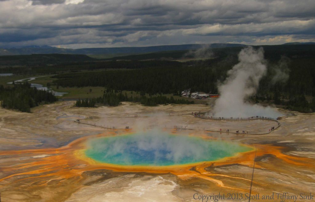
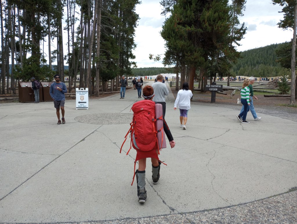
4. Geyser or geothermal area (California, Hawai‘i, Nevada, Oregon, Wyoming)
Hawai‘i Volcanoes National Park, Lassen Volcanic National Park, Yellowstone National Park
3. Bioluminescence (Alabama, Florida, Hawai‘i, Puerto Rico, Virgin Islands)
Canaveral National Seashore, Hawai‘i Volcanoes National Park, Salt River Bay National Historical Park and Ecological Preserve
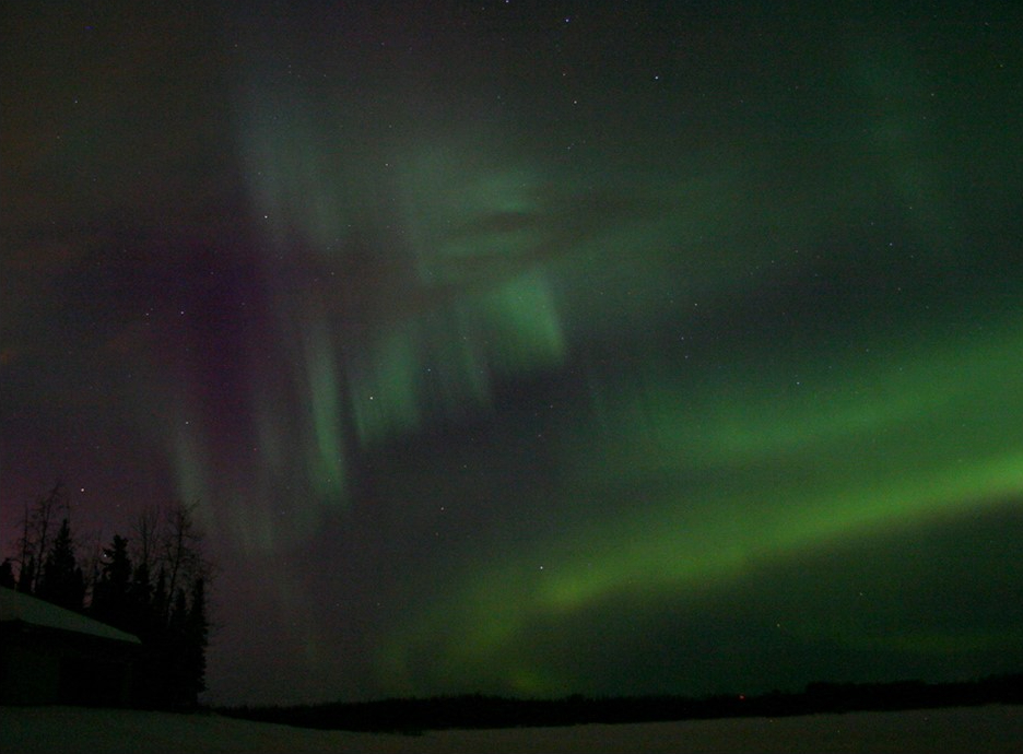
2. Aurora borealis (Alaska, Michigan, Minnesota)
Chippewa National Forest, Denali National Park and Preserve, Hiawatha National Forest, Keweenaw National Historical Park, Voyageurs National Park
…and finally our #1 natural phenomenon to see in the U.S.:
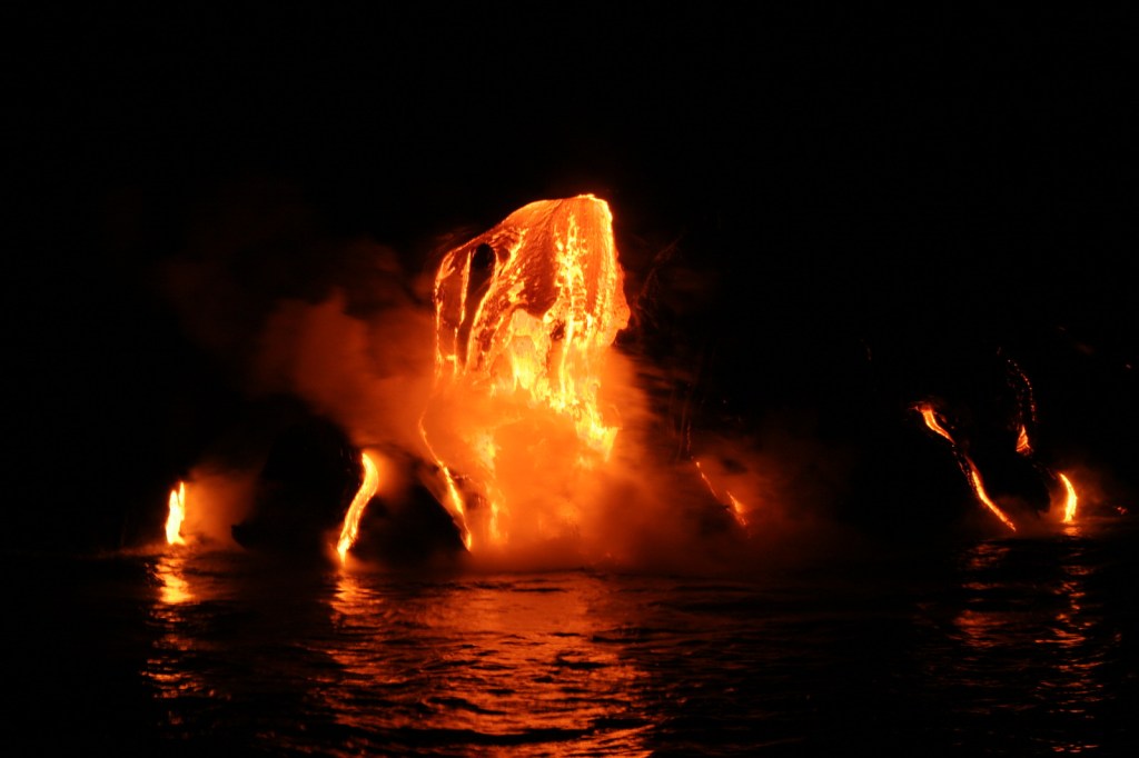
1. Lava (Hawai‘i)
Hawai‘i Volcanoes National Park
.
Honorable Mentions
Cave (Alabama, Arizona, California, Indiana, Kentucky, Missouri, New Mexico, South Dakota, Tennessee)
Caribou National Forest, Carlsbad Caverns National Park, Great Basin National Park, Jewel Cave National Monument, Mammoth Cave National Park, Sequoia National Park, Wind Cave National Park
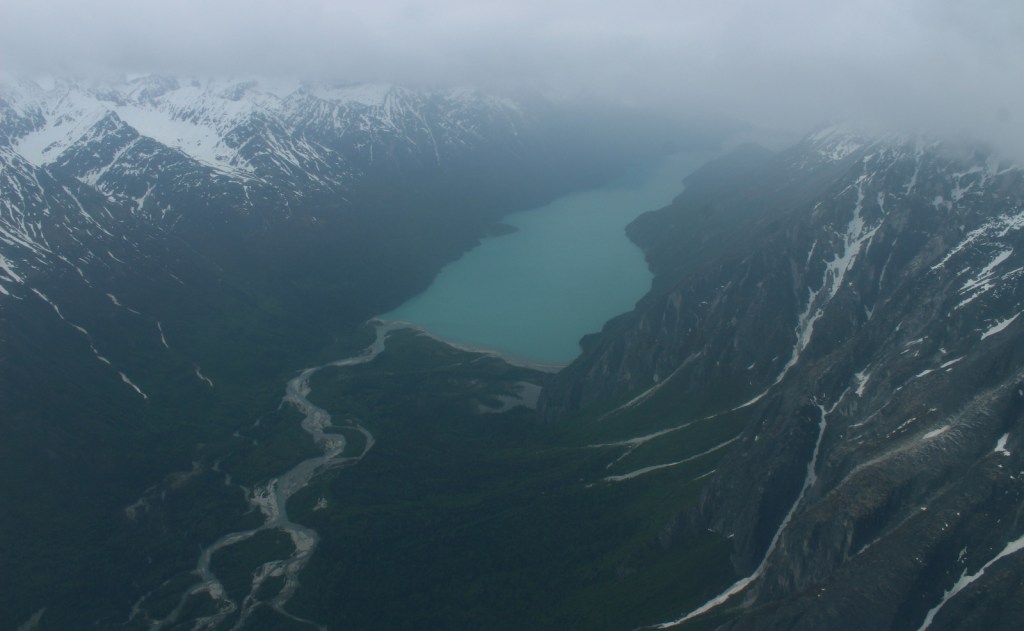
Tidepool (Alaska, California, Maine, Oregon, Washington)
Acadia National Park, Cabrillo National Monument, Glacier Bay National Park and Preserve, Lewis and Clark National Historical Park, Olympic National Park, Redwood National Park

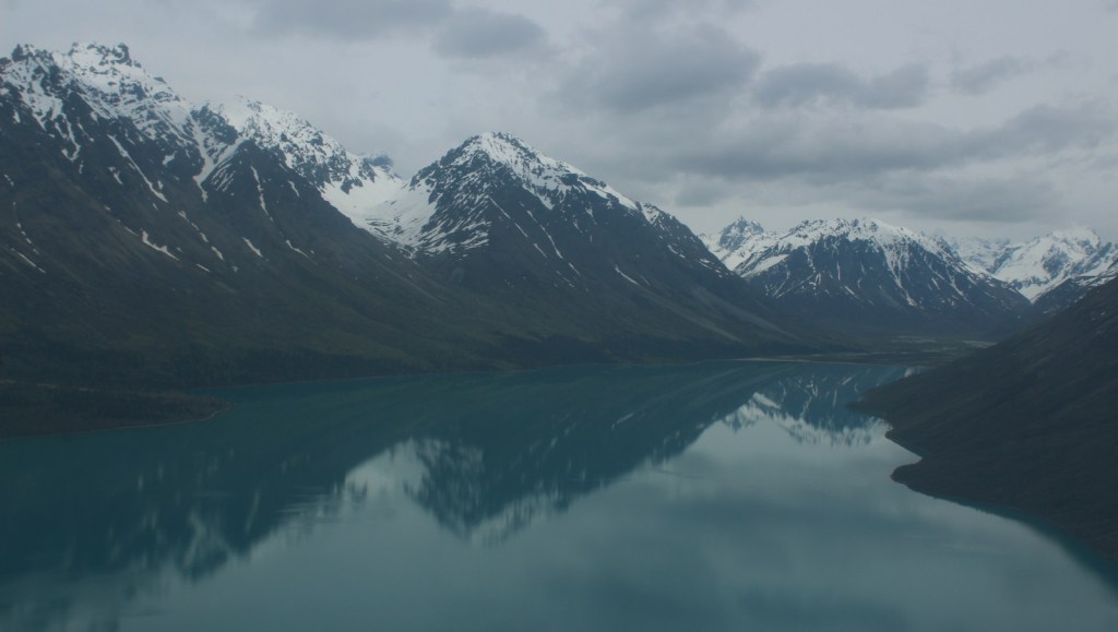
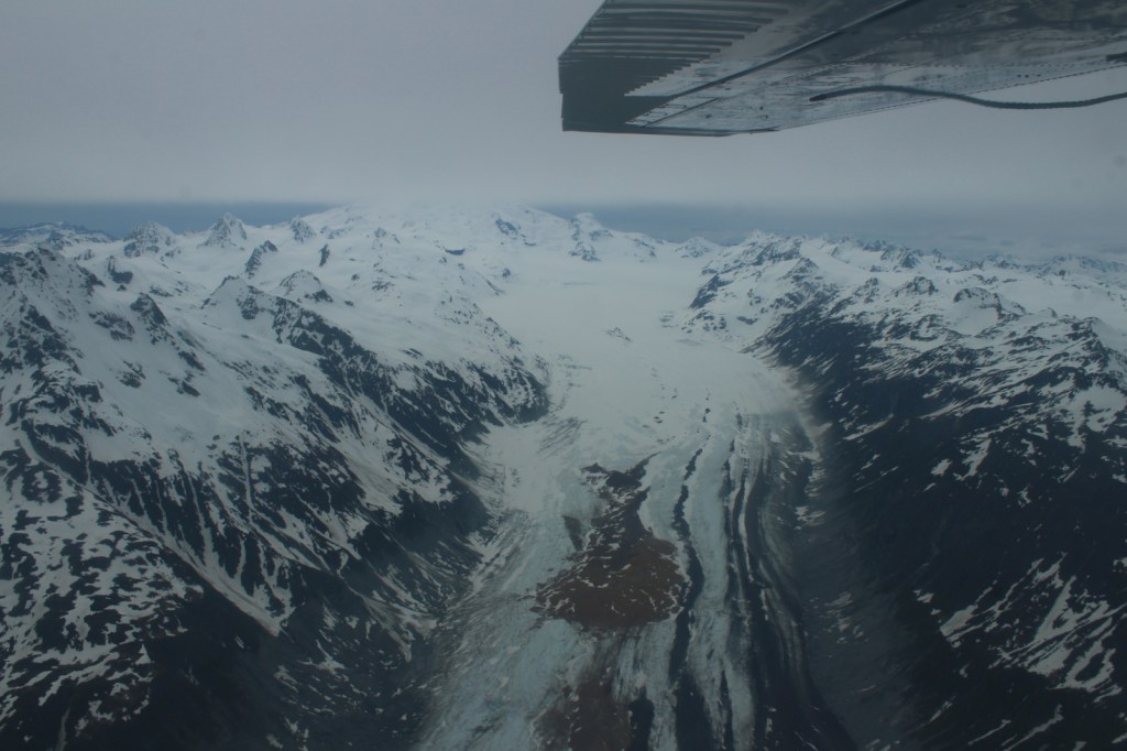
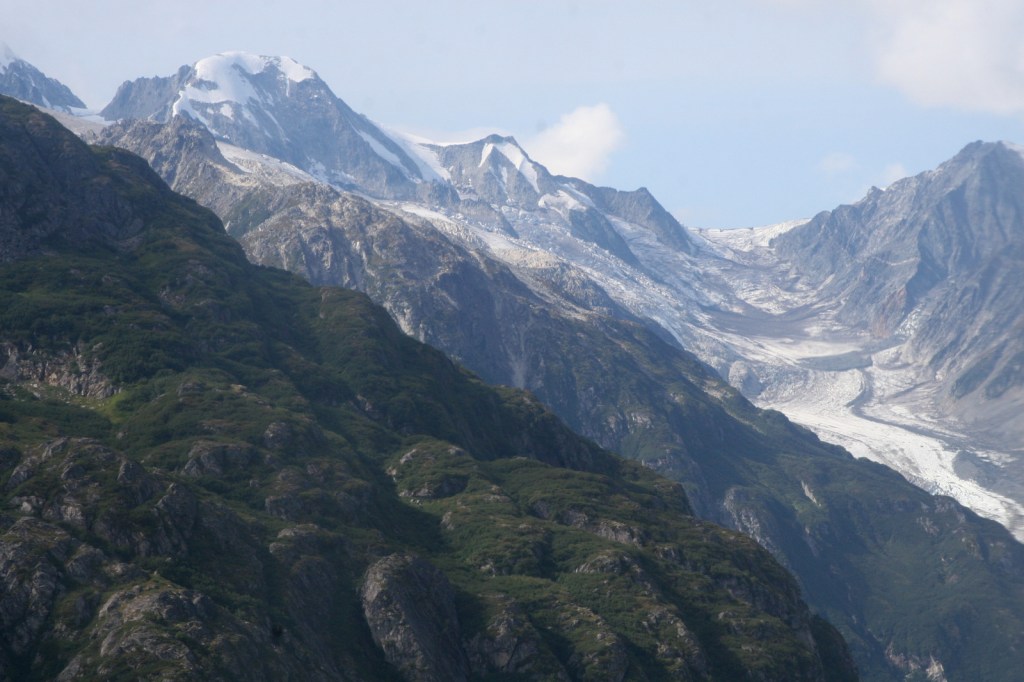
Tidewater glacier (Alaska)
Glacier Bay National Park and Preserve, Kenai Fjords National Park
Natural hot springs (Arkansas, California, Idaho, Oklahoma, Texas, Wyoming)
Beaverhead National Forest, Big Bend National Park, Boise National Forest, Chickasaw National Recreation Area, Clearwater National Forest, Hot Springs National Park, Yellowstone National Park
Walk behind a waterfall (Arkansas, Colorado, Indiana, New York, Ohio, Oregon, Utah)
Buffalo National River, Cuyahoga Valley National Park, Hoosier National Forest, Zion National Park

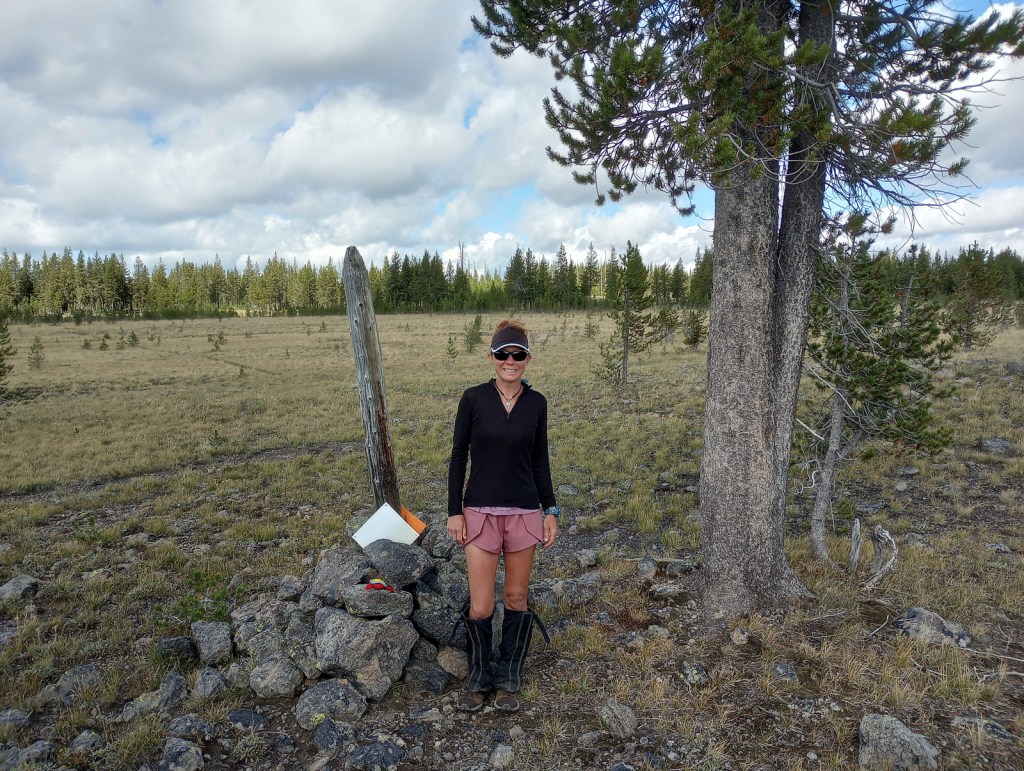
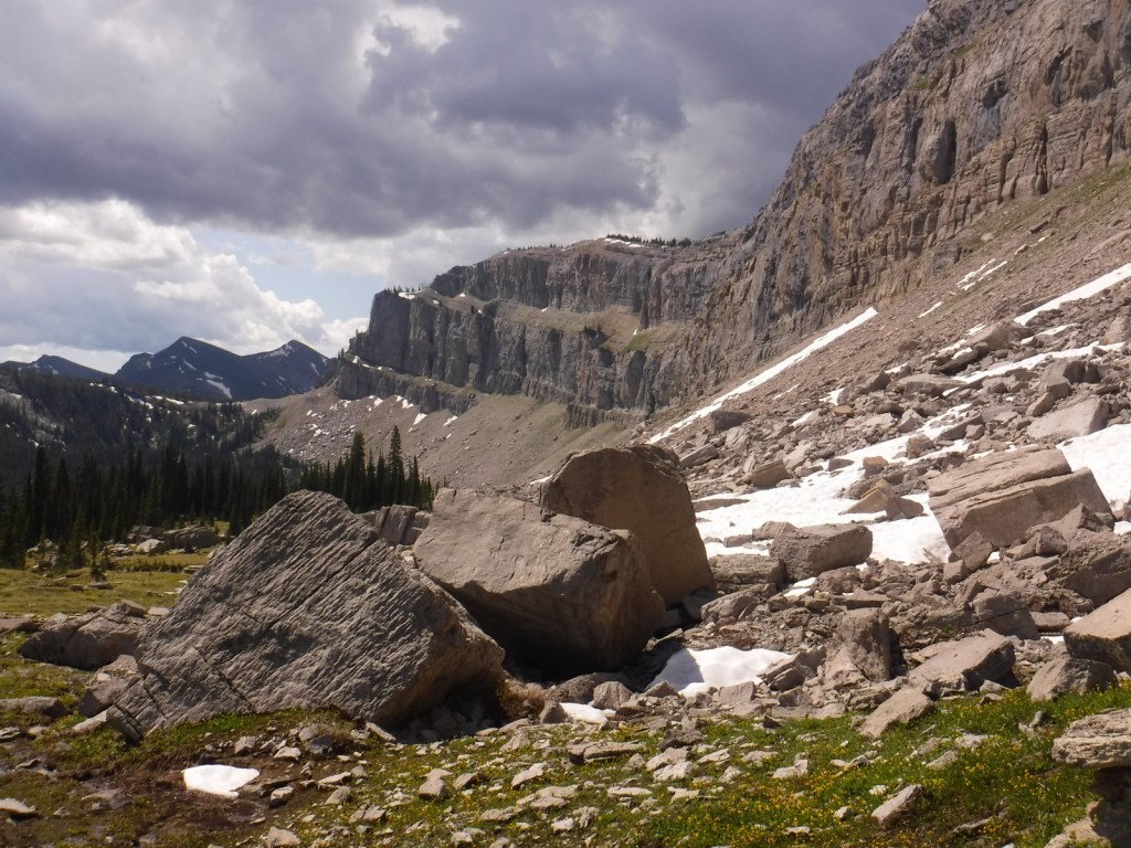
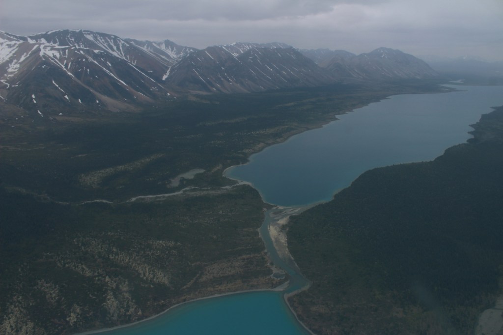
Alpine tundra (Alaska, California, Colorado, Idaho, Montana, Wyoming)
Bighorn National Forest, Bridger National Forest, Coconino National Forest, Eldorado National Forest, Gallatin National Forest, Glacier National Park, Grand Teton National Park, Inyo National Forest, Rocky Mountain National Park, Yosemite National Park