Tag Archives: museum

Top 10 Museums in National Parks

We recently published our expanded 2nd edition of our guidebook to the 63 National Parks (available on Amazon), so we thought it would be a good time to rank our favorite museums in the parks.  The National Parks typically stick with the “go outside and play” philosophy, but these selected parks do a great job of interpreting human and natural history inside a museum.  Our photograph options are limited and mainly include Wondon the Traveling Bunny (who has his own blog).  We will rank our Top 10 museums in other National Park Service (NPS) units in a future list (check out all our Top 10 Lists here). 

Know someone who loves National Parks? Gift them our travel guidebook A Park to Yourself: Finding Solitude in America’s 63 National Parks
10. Great Smoky Mountains National Park (Tennesee-North Carolina)

Sugarlands Visitor Center has a nice natural history museum, plus the historic structures at Cataloochee, Elkmont, and Cades Cove serve as outdoor museums.

9. Mesa Verde National Park (Colorado)

If this is your first visit, after you buy your tour tickets at the park entrance head directly to the Chapin Mesa Museum that overlooks the ruins of Spruce Tree House.

8. Great Basin National Park (Nevada)

Great Basin Visitor Center is in Baker, outside the park boundaries, but it is worth a stop to see a cross-section of Prometheus, a nearly 5,000-year-old bristlecone pine tree.

7. Everglades National Park (Florida)

Ernest F. Coe Visitor Center is home to an excellent museum interpreting the natural history of the “river of grass.”

6. Cuyahoga Valley National Park (Ohio)

Boston Store and Canal Visitor Centers both have excellent hands-on exhibits and, taking a page from Parks Canada, you can play dress-up, too.

5. Gateway Arch National Park (Missouri)

Part of the reason this became a National Park in 2018 was due to the opening of its new museum beneath the arch, but do not miss a visit inside the colorful Old Courthouse.

4. Denali National Park and Preserve (Alaska)

There are great exhibits on wildlife at Denali Visitor Center near the park entrance and Eielson Visitor Center at Mile 66 on the main park road (only accessible by bus).

3. Hot Springs National Park (Arkansas)

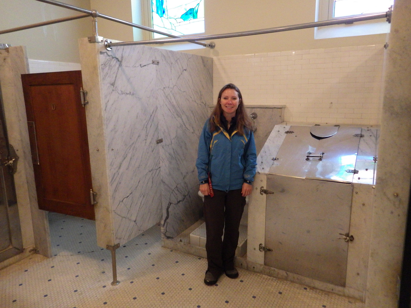
Fordyce Bathhouse on Central Avenue is now entirely a museum with multiple stories of exhibits and plenty of stories to tell.

2. Mammoth Cave National Park (Kentucky)

There is an excellent interpretive museum inside the visitor center for the world’s longest cave.

… and finally our #1 museum in a National Park:

1. Yellowstone National Park (Wyoming-Montana-Idaho)

Learn all about the Yellowstone Supervolcano at Old Faithful and Canyon Village Visitor Centers, but also check out the Museum of the National Park Ranger near Norris Junction.

Honorable Mentions

Wind Cave National Park (South Dakota)

It can be easy to miss the museum that is downstairs from the park bookstore and tour ticket booth, so do not make that rookie mistake.

Wrangell-St. Elias National Park and Preserve (Alaska)

The Main Park Visitor Center is located on the Richardson Highway, but the main attraction requires you to brave the drive to McCarthy and cross the pedestrian bridge to the Kennecott ghost town.

Know someone who loves National Parks? Gift them our travel guidebook A Park to Yourself: Finding Solitude in America’s 63 National Parks

Harriet Tubman Underground Railroad National Historical Park

Overview

This relatively undeveloped section of Maryland’s Eastern Shore might still be recognizable to Harriet Tubman, who was born here as Araminta “Minty” Ross in 1822.  After her own solo escape to Philadelphia using the Underground Railroad network in 1849, she returned thirteen times to conduct approximately 70 people north, as well as to provide detailed instructions that enabled another 70 to find freedom.  During the Civil War, Tubman served as a Union spy and became the first woman to lead an armed U.S. military assault.

Highlights

Museum, Blackwater National Wildlife Refuge, Bucktown Village Store

Must-Do Activity

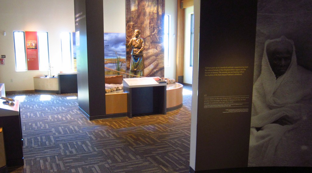
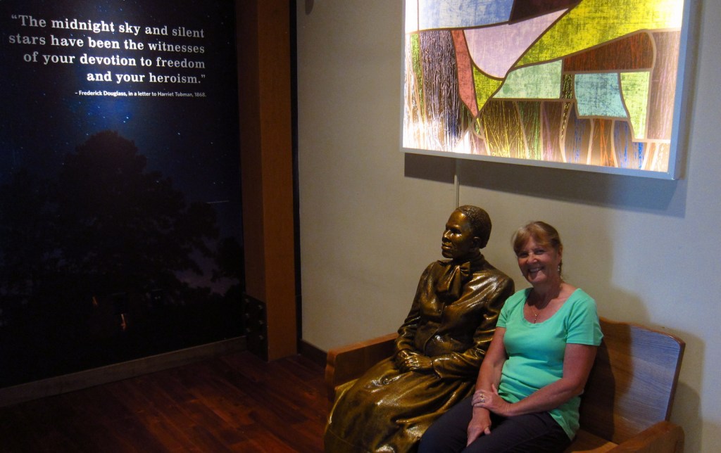
Harriet Tubman lived a hard life, as described in the exhibits at Harriet Tubman Underground Railroad State Park (museum opened in March 2017), managed in association with the National Park Service.  Pick up a map at the museum, then make as many stops as you wish along the 125-mile long Harriet Tubman Underground Railroad Byway, which offers a free downloadable audio guide.  You will definitely be inspired by the story of this brave conductor on the Underground Railroad.

Best Trail

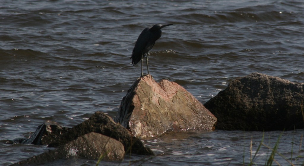
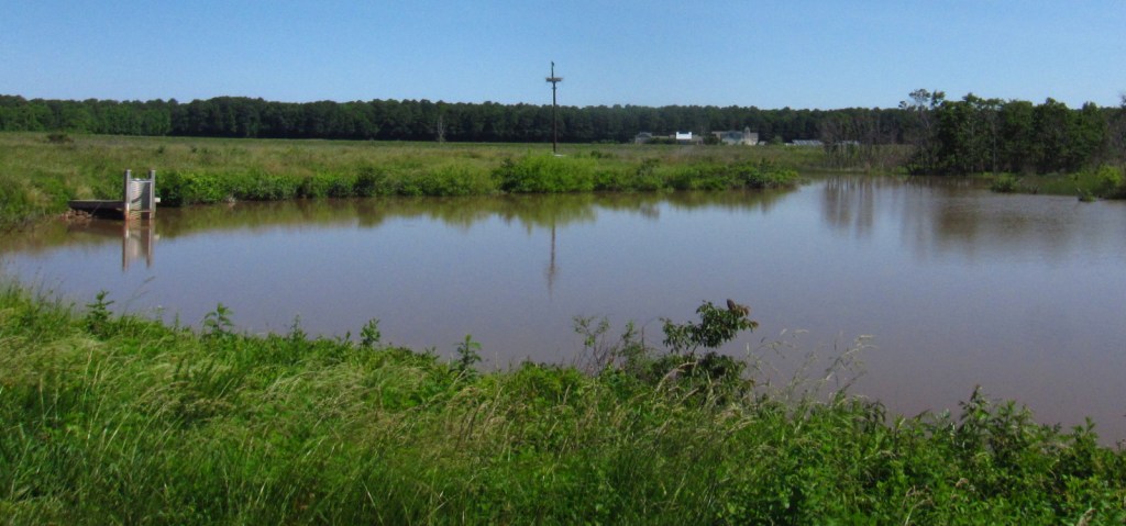
Near the museum at Harriet Tubman Underground Railroad State Park, 28,000-acre Blackwater National Wildlife Refuge is a great place to see ospreys and overwintering birds. The Key Wallace loop trail is 2.7 miles long.

Instagram-worthy Photo

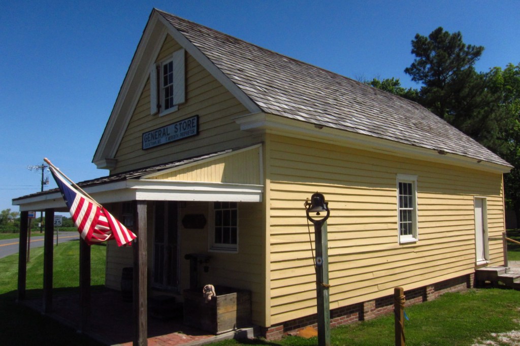
Bucktown Village Store has been restored to its 1800s appearance and is open to visitors.  Harriet Tubman accomplished amazing feats despite suffering seizures throughout her life from a skull fracture suffered at the Bucktown Village Store during her youth (see the photo below for the full story). 

Peak Season

Summer

Hours

https://www.nps.gov/hatu/planyourvisit/hours.htm

Fees

None, except at Blackwater National Wildlife Refuge, which is only $3 per vehicle and accepts America the Beautiful passes.

Road Conditions

All major roads are paved on the 125-mile long Harriet Tubman Underground Railroad Byway and the driving route is well-maintained through Blackwater National Wildlife Refuge. 

Camping

There are developed campgrounds at the northern end of Assateague Island National Seashore on Maryland’s Atlantic Coast.

Related Sites

Frederick Douglass National Historic Site (District of Columbia)

Assateague Island National Seashore (Maryland-Virginia)

First State National Historical Park (Delaware)

Explore More – Before it became a National Historical Park, when was Harriet Tubman Underground Railroad National Monument established?

Gateway National Recreation Area

Overview

Approximately 9-million visitors utilize the 26,600 acres of Gateway National Recreation Area annually, ranking it the fourth busiest unit in the National Park Service (NPS) System.  This is not surprising when you consider the number of people that live around New York Harbor.  The park is divided into three units: New Jersey’s Sandy Hook, and New York’s Staten Island and Jamaica Bay.

Highlights

Fort Wadsworth, Sandy Hook Lighthouse, Fort Hancock, Floyd Bennett Field, Jamaica Bay Wildlife Refuge

Must-Do Activity

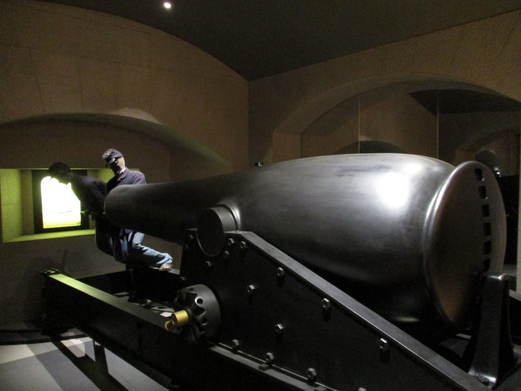
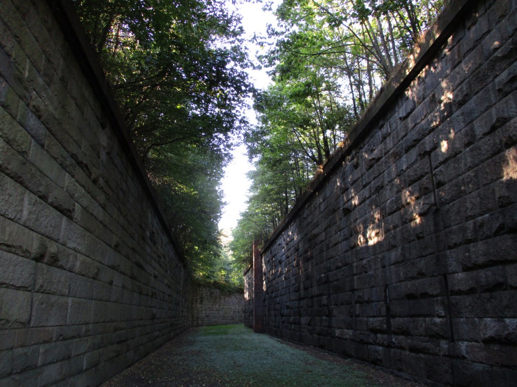
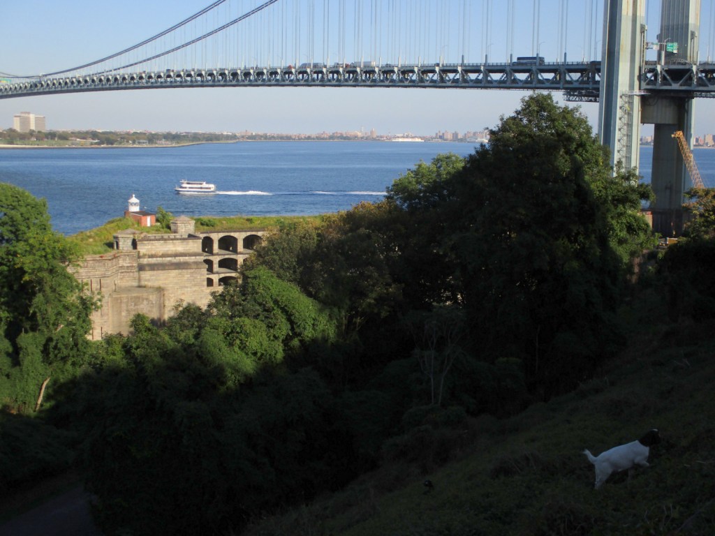
On Staten Island, tours are offered of Fort Wadsworth, which sits at the base of the beautiful Verrazano-Narrows Bridge to Long Island.  It was part of the coastal defense system created to protect New York Harbor in the 1800s, which is clearly displayed at the outstanding NPS museum on the cliff above Fort Wadsworth.  In 1913, President William Howard Taft attended a ceremony dedicating the National American Indian Memorial to be built inside the fort, but it never came to fruition because of World War I.

Best Trail

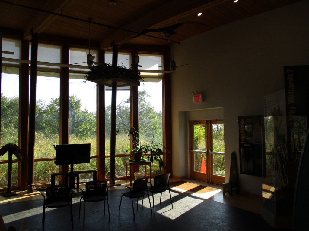
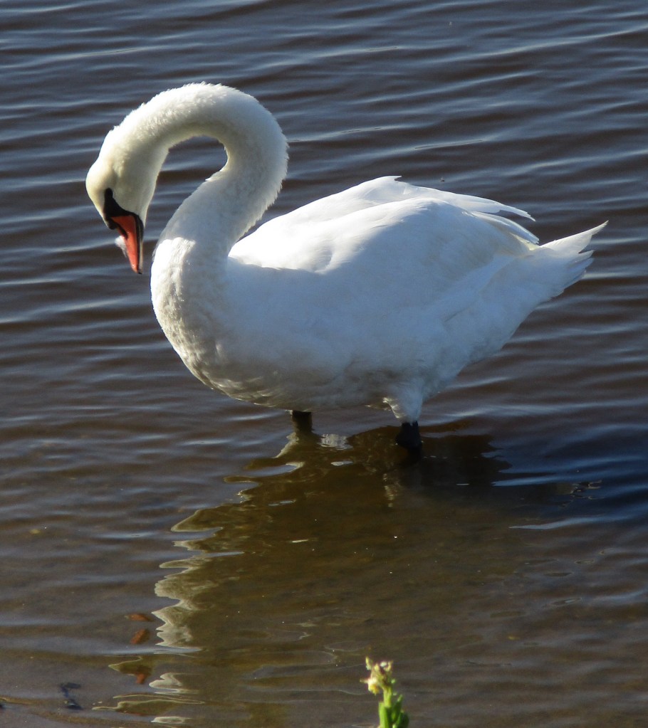
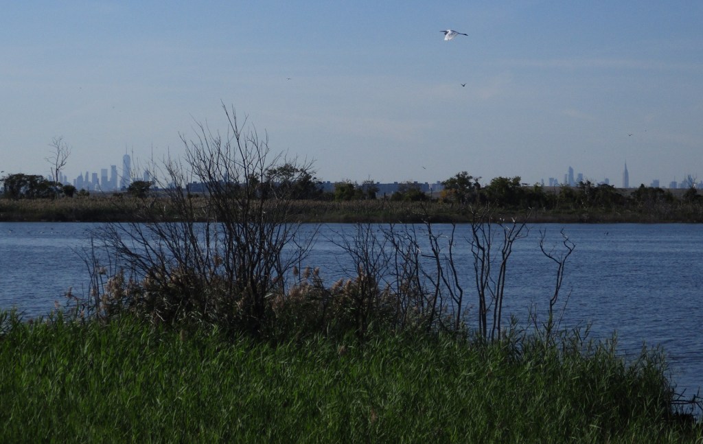
Jamaica Bay Wildlife Refuge is a great spot for birdwatching or watching airplanes take off and land at JFK Airport.  The trail around West Pond takes about an hour to walk and feels worlds away from Manhattan, which is visible on the skyline.

Instagram-worthy Photo

The Sandy Hook Unit of Gateway National Recreation Area is located on a spit of sand that sticks out from the New Jersey shoreline.  It offers beaches, tours of Fort Hancock, and a lighthouse that dates back to 1764 (making it the oldest continuously operated one in the U.S.).  For photos of Sandy Hook, check out our fellow National Park blogger Theresa’s website.  Below is one of her excellent photographs of Sandy Hook Lighthouse.

Peak Season

Summer for the beaches

Hours

https://www.nps.gov/gate/planyourvisit/hours.htm

Fees

None, except for beach parking at Sandy Hook and Jacob Riis Park in Queens (plus toll roads/bridges).

Road Conditions

All roads are paved, plus many of the units of Gateway National Recreation Area are accessible by public transportation.

Camping

The NPS offers camping at all three units of Gateway National Recreation Area, so check the NPS website for details.

Related Sites

Statue of Liberty National Monument (New York-New Jersey)

Fire Island National Seashore (New York)

Thomas Edison National Historical Park (New Jersey)

Explore More – What famous U.S. coin was first publicly displayed at the 1913 dedication of the National American Indian Memorial at Fort Wadsworth?

Upper Delaware Scenic and Recreational River

Overview

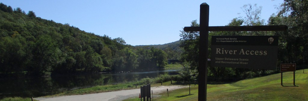
Authorized in 1978, this 73-mile stretch of the Upper Delaware River is the longest free-flowing river in the northeast United States.  Forming the Pennsylvania-New York borderline, only 30 of its 55,575 acres are federally owned.  Upper Delaware Scenic and Recreational River is one of 43 designated National Wild and Scenic Rivers, 10 of which are managed by the National Park Service (NPS).

Highlights

Zane Grey Museum, Roebling Aqueduct, fishing

Must-Do Activity

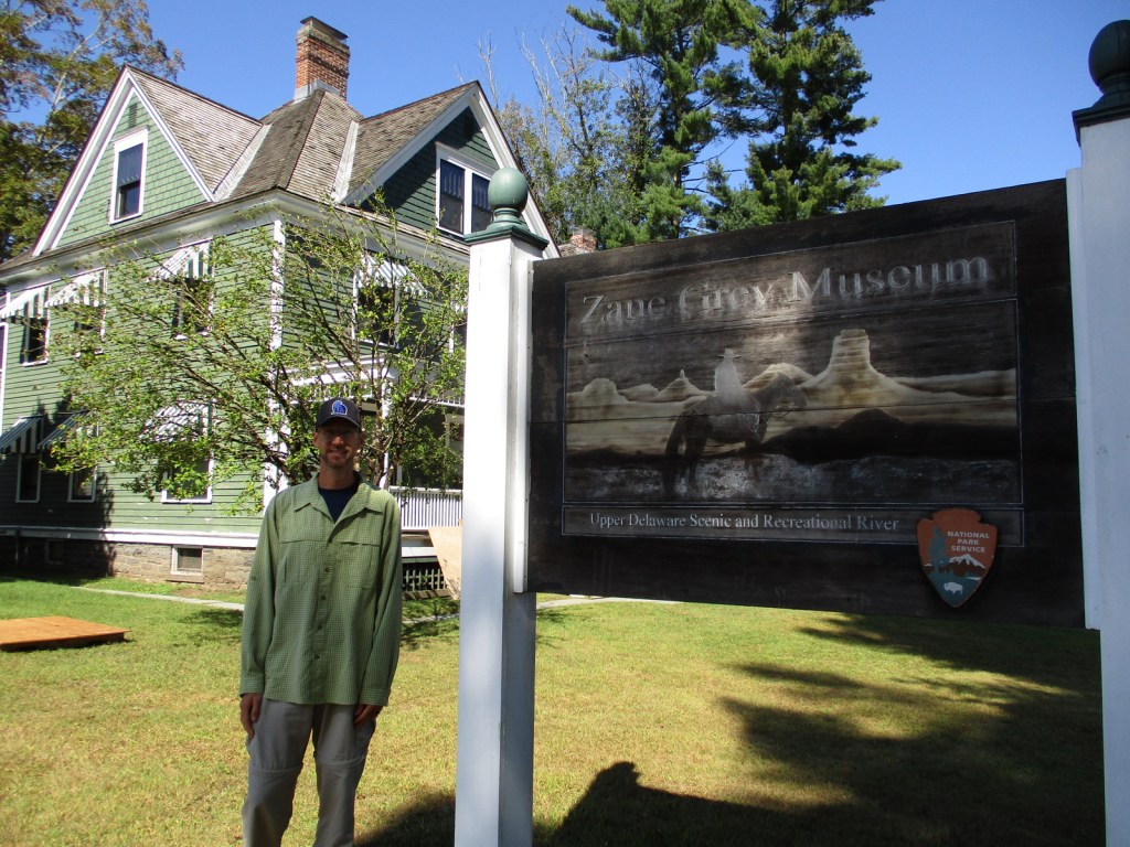
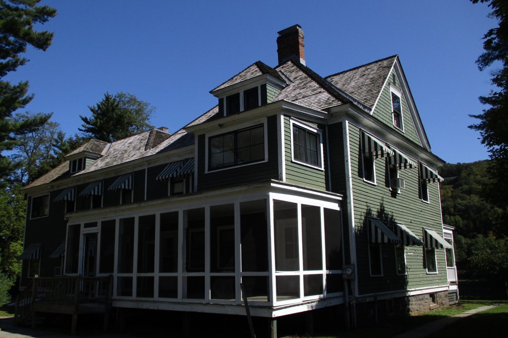
The Upper Delaware River is famous for year-round bald eagle viewing, Class I and II whitewater rafting, and fishing for smallmouth bass and walleye.  The NPS runs the Zane Grey Museum, which celebrates the “Father of the Western Novel” who lived in Lackawaxen, Pennsylvania from 1905 to 1918 and loved fishing here (and throughout his worldwide travels).  It was in this house that the former dentist (Zane Grey) wrote many articles about his outdoor adventures, as well as his novels, including Riders of the Purple Sage (published in 1912).

Best Trail

There are six trails you are required to complete in order to earn your Upper Delaware Hikes patch from the NPS, ranging in length from the quarter-mile Minisink Battleground (Revolutionary War) to the three-mile Tusten Mountain Trail, which provides an excellent view of the river valley.

Instagram-worthy Photo

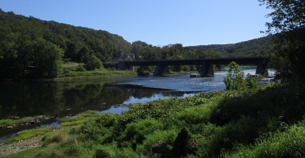
Within eyeshot of the Zane Grey Museum, the Roebling Aqueduct operated between 1848 and 1898 to allowed coal-laden canal boats to cross over the Upper Delaware River.  Its architect is better known for the Brooklyn Bridge, but this aqueduct was converted to a one-lane car bridge before being purchased by the NPS in 1980.

Peak Season

Spring through fall

Hours

https://www.nps.gov/upde/planyourvisit/hours.htm

Fees

None

Road Conditions

All major roads paved, with Highway 97 in New York following the river for most of its length.

Camping

There are no NPS campgrounds, but many private ones along the Upper Delaware River.

Related Sites

Delaware Water Gap National Recreation Area (Pennsylvania-New Jersey)

Buffalo National River (Arkansas)

Minute Man National Historical Park (Massachusetts)

Explore More – Although they live in the Delaware River for most of their lives, what is the name of the sea in the Atlantic Ocean where eels migrate to spawn and die?

Sunset Crater Volcano National Monument

Overview

Sunset Crater Volcano National Monument outside Flagstaff, Arizona is worth a closer look than a drive-by on your way to Grand Canyon National Park.  As its name suggests, this thousand-foot high cinder cone is stained red as though in perpetual twilight.  Volcanic activity last occurred here in the year 1180 AD, but even though geologists consider this area dormant, it is just possible that a new cinder cone might start erupting at any time.

Highlights

Lava Flow Nature Trail, Bonito Lava Flow, Lenox Crater Trail, O’Leary Peak

Must-Do Activity

A 35-mile loop drive through Sunset Crater Volcano National Monument to neighboring Wupatki National Monument passes through ponderosa pine forest and sunflower-filled meadows on its way to an arid, rocky high desert region that is dotted with ruins.  From the road you can see the San Francisco Peaks rising to the west, as well as a series of cinder cones outside the monument’s boundaries.  Several of these mini-volcanoes are accessible by roads, including our favorite: S.P. Crater.

Best Trail

To experience the black cinders you have to get out of your car and hike through them, but take your time as the elevation is around 7,000 feet.  Lava Flow Nature Trail provides interpretive signs along a partially paved one-mile loop.  You cannot climb to the top of Sunset Crater, but you can summit nearby Lenox Crater on a steep one-mile trail.

Instagram-worthy Photo

Sunset Crater and the Bonito Lava Flow are especially eye-catching when viewed from atop 8,900-foot O’Leary Peak, accessible by hiking to a fire lookout tower in adjacent Coconino National Forest.  The awe-inspiring vista will make you glad that movie producers were stopped from dynamiting Sunset Crater in 1928.

Peak Season

Summer

Hours

https://www.nps.gov/sucr/planyourvisit/hours.htm

Fees

$25 per vehicle, which also covers entrance to neighboring Wupatki National Monument.

Road Conditions

All roads paved

Camping

The U.S. Forest Service runs the Bonito Campground across from the Sunset Crater visitor center from May through October.  Dispersed camping is allowed in portions of Coconino National Forest.

Related Sites

Wupatki National Monument (Arizona)

Craters of the Moon National Monument and Preserve (Idaho)

Capulin Volcano National Monument (New Mexico)

Explore More – How many millions of years of volcanic activity have occurred in the area around Flagstaff, Arizona?