Tag Archives: museum

Big Cypress National Preserve

Overview

Big Cypress National Preserve was originally planned to be a part of Everglades National Park (established in 1947), but this wild area to the north did not gain federal protection until 1974.  There are few roads and trails in the 729,000-acre preserve, which makes it ideal habitat for the endangered Florida panther.  The easiest access points are along Alligator Alley (Interstate 75) or the Tamiami Trail (Highway 41).  While many of the “trails” require route-finding and slogging through deep water, there are also designated ATV and canoe trails located throughout the park.

Highlights

Kirby Storter Roadside Park, Big Cypress Bend Trail, canoeing

Must-Do Activity

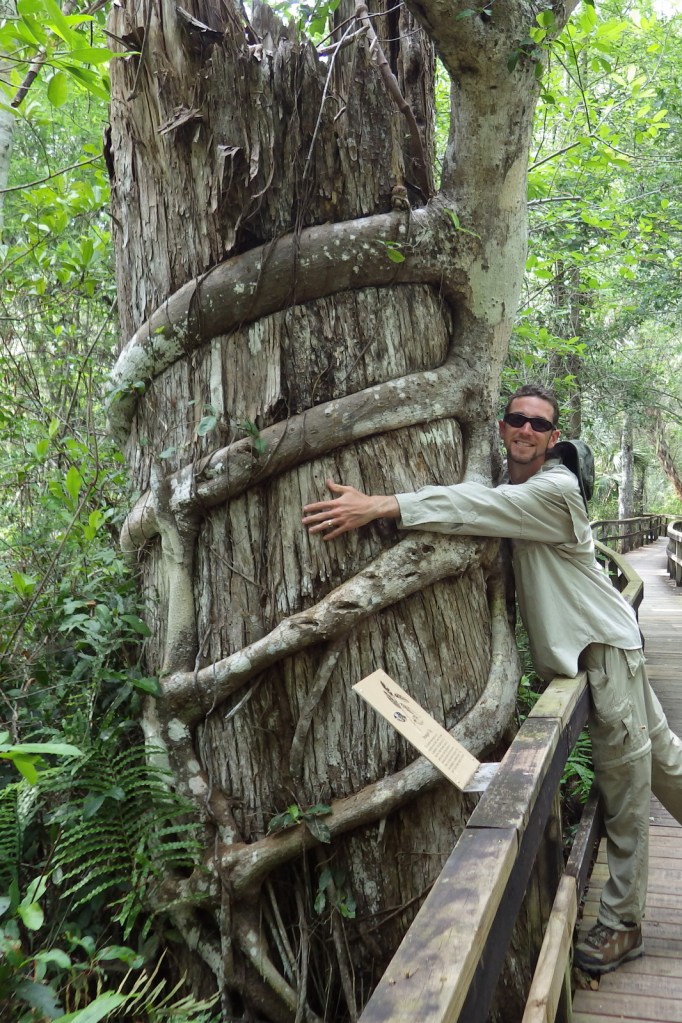
Many of the baldcypress and pond cypress trees that once stood here were logged in the 1930s and 1940s.  At the Kirby Storter Roadside Park, you can still see some large examples of these trees famous for their buttressed boles and root nodules, or “knees,” that stand above the high water level.  We previously reported on these unique deciduous conifers at Congaree National Park in South Carolina, but here they grow right alongside tall palm trees that we typically associate with sandy beaches. 

Best Trail

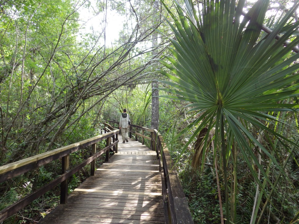
Many of the trails in the park are underwater and require slogging.  Two exceptions with boardwalks are at Kirby Storter Roadside Park and Big Cypress Bend (technically within Fakahatchee Strand Preserve State Park).

Instagram-worthy Photo

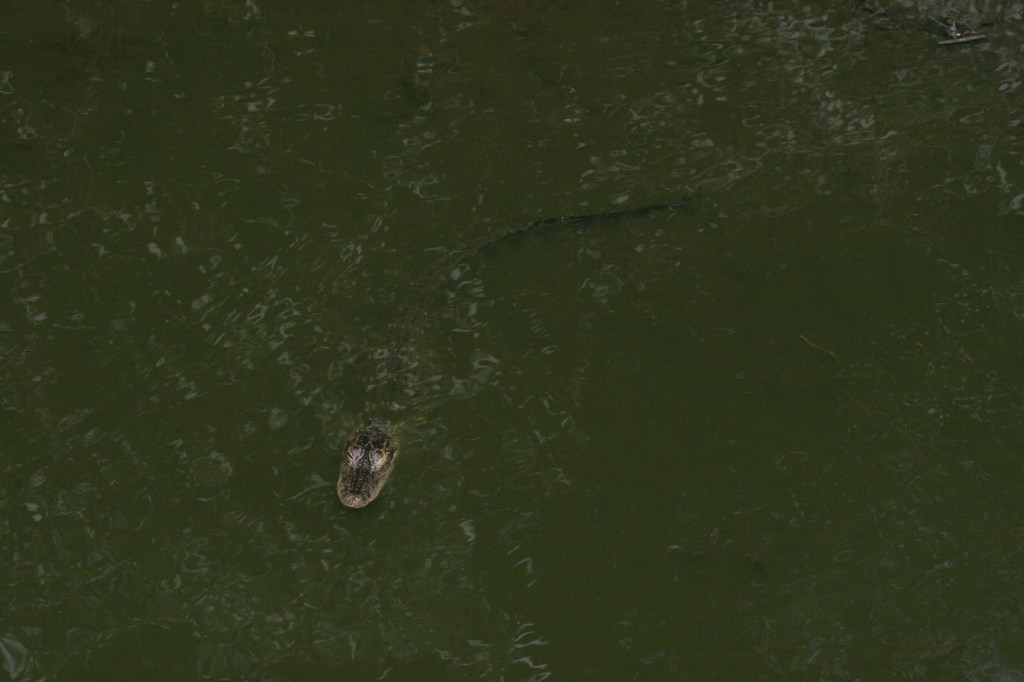
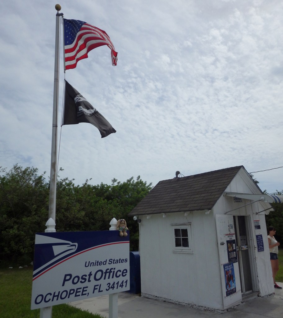
Wherever you look, you are likely to spot an alligator or two in this wild section of south Florida.  An extra photo-op can be found at the smallest post office in the United States, a former irrigation pipe shed located in Ochopee, Florida since 1953.
Peak Season

Winter

Hours

https://www.nps.gov/bicy/planyourvisit/hours.htm

Fees

None (except for off-road vehicle permits)

Road Conditions

Highway 41 and Interstate 75 are paved, but just about every other road in the park is sandy (and/or submerged) and should only be attempted with an ATV or swamp buggy.

Camping

The NPS offers two campgrounds along Highway 41 (there is also one in Collier-Seminole State Park), as well as designated primitive wilderness sites.

Related Sites

Everglades National Park (Florida)

De Soto National Memorial (Florida)

Big Thicket National Preserve (Texas)

Explore More – What are the five main habitat types protected within the preserve?
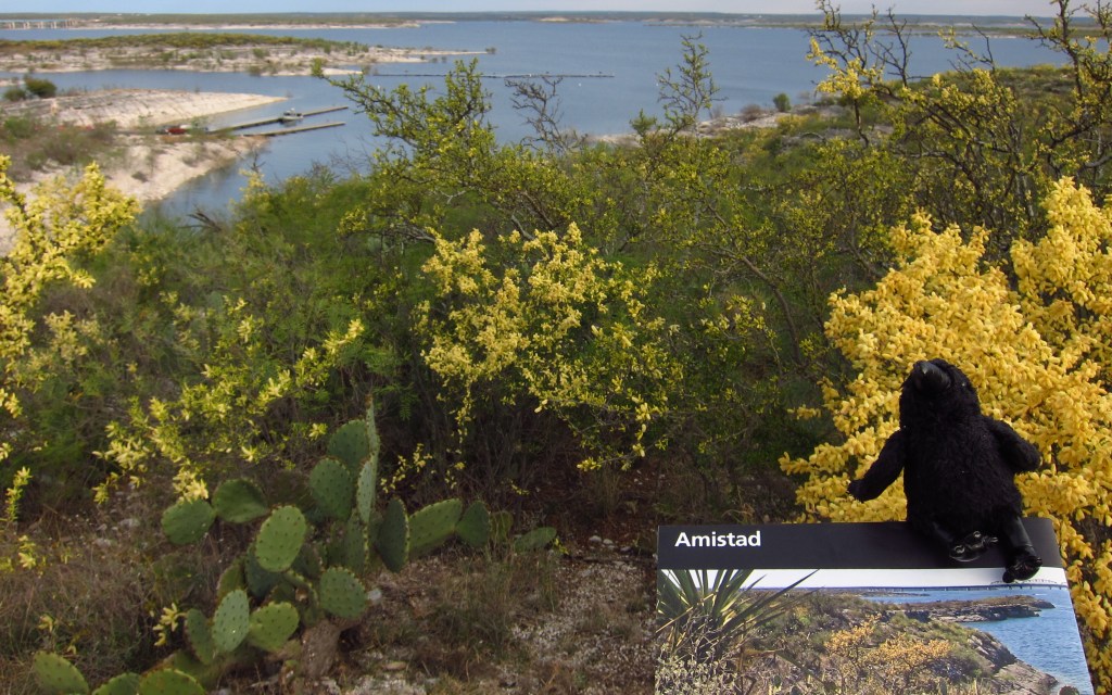
Amistad National Recreation Area

Overview

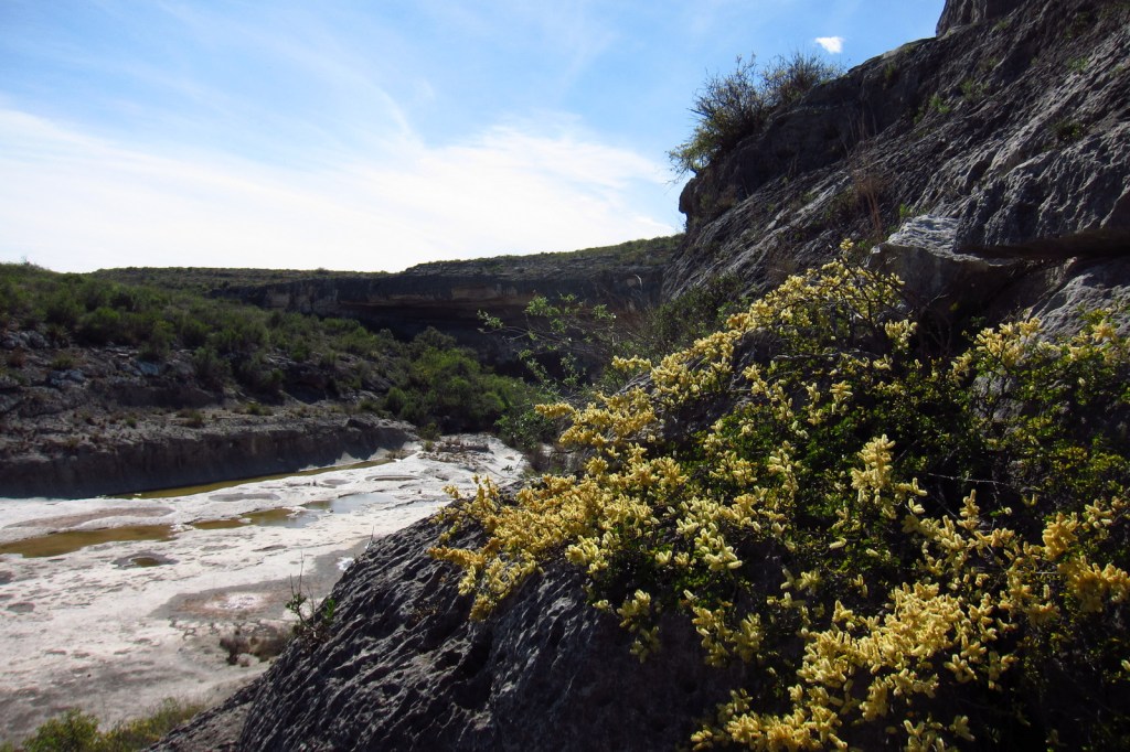
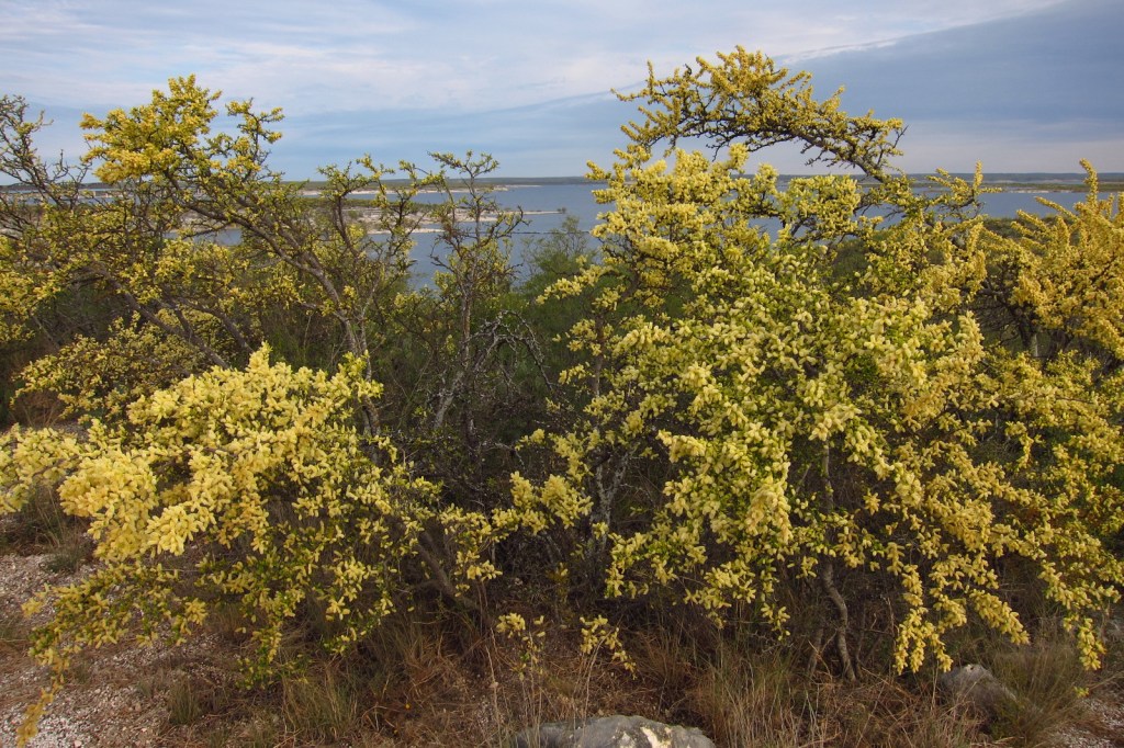
Amistad translates as “friendship” from Spanish, which is fitting given that this reservoir is shared by the U.S. and Mexico.  Marinas and boat ramps provide access to the lake for watersports, like fishing and waterskiing.  The 254-foot tall dam across the Rio Grande was built in 1968 and serves as a customs station in Del Rio, Texas.  The National Park Service (NPS) runs a free museum nearby.

Highlights

Panther Cave pictographs, Seminole Canyon State Park, watersports

Must-Do Activity

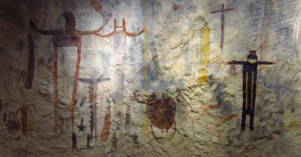
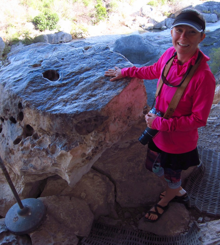
Amistad National Recreation Area is also famous for its 4,000-year-old pictographs, which can most easily be accessed on guided tours of Seminole Canyon State Park, 45 miles outside Del Rio, Texas on Highway 90.  Admission is charged for the museum and tour, but provides the only way to see the colorful artwork in Fate Bell Shelter.  Viewing fossils in the limestone was an added bonus on the tour.

Best Trail

The pictographs in Panther Cave can be seen from afar by hiking a trail in the state park or up-close by boating to the dock and climbing a steep stairway. 

Instagram-worthy Photo

If you are unable to hike down into the canyon, the Seminole Canyon State Park museum has a replica of the rock art.

Peak Season

Summer

Hours

https://www.nps.gov/amis/planyourvisit/hours.htm

Fees

Boating passes start at $4 for a 1-day pass, $8 per person to tour Seminole Canyon State Park

Road Conditions

All major roads paved

Camping

Two NPS campgrounds are available at Governors Landing and San Pedro and there is a campground at Seminole Canyon State Park.

Related Sites

Alibates Flint Quarries National Monument (Texas)

Waco Mammoth National Monument (Texas)

Canyonlands National Park (Utah)

Explore More – How many miles of the Rio Grande do the park’s boundaries encompass?

Chesapeake and Ohio Canal National Historical Park

Overview

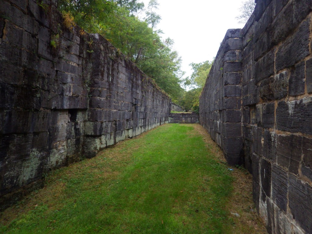
The Chesapeake and Ohio (C&O) Canal was supposed to connect ports in Washington, D.C. with the Ohio River, but it never reached its destination before the Baltimore and Ohio (B&O) Railroad rendered it obsolete in 1850.  It employed 35,000 laborers (mostly European immigrants) during its 22 years of construction and eventually carried coal out of the Appalachian Mountains for decades.  The canal closed in 1924, but it left behind indelible historic landmarks like locks, dams, aqueducts, historic hotels, and a 3,118-foot long tunnel.

Highlights

Historic locks, boat tours, Great Falls Tavern, boating

Must-Do Activity

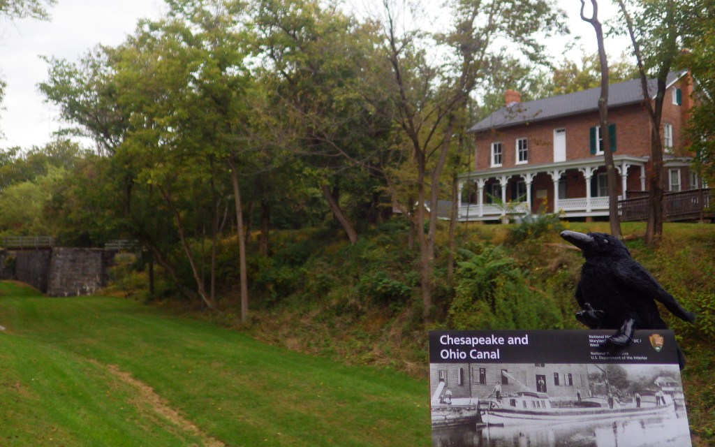
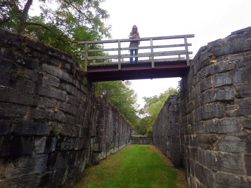
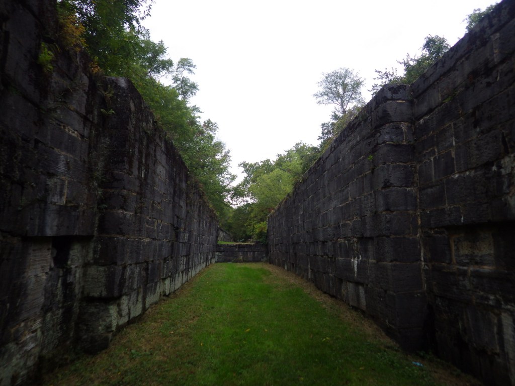
C&O Canal National Historical Park is run by the National Park Service (NPS) and offers multiple free visitor centers along the route that are open seasonally.  Near Washington, D.C. both the Great Falls Tavern and Georgetown Visitor Centers offer mule-drawn canal boat rides on a first-come, first-served basis April through October.  We enjoyed touring the historic locks of the canal in Hancock, Maryland after visiting Catoctin Mountain Park and Antietam National Battlefield.

Best Trail

Today you can walk and bike the graded 184.5-mile towpath that follows the Potomac River, camping at designated sites along the way if you choose.

Instagram-worthy Photo

The canal locks at Hancock, Maryland became part of the park that was created in 1971.  The boarding house located there now serves as an NPS visitor center.

Peak Season

Summer, as most of the visitor centers are closed seasonally

Hours

https://www.nps.gov/choh/planyourvisit/hours.htm

Fees

None, except at Great Falls Tavern

Road Conditions

All roads paved

Camping

There are primitive drive-in camping areas at five spots along the canal path, as well as 30 backpacking campsites spaced approximately five miles apart.  There is also a nice NPS campground at Catoctin Mountain Park in Maryland.

Related Sites

George Washington Memorial Parkway (Virginia-Maryland)

Harpers Ferry National Historical Park (West Virginia-Maryland-Virginia)

Allegheny Portage Railroad National Historic Site (Pennsylvania)

Explore More – At its peak of operation, how many mule-drawn boats were in service on the C&O Canal?

Mojave National Preserve

Overview

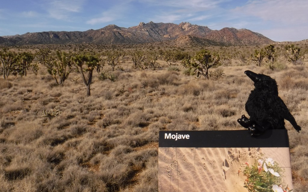
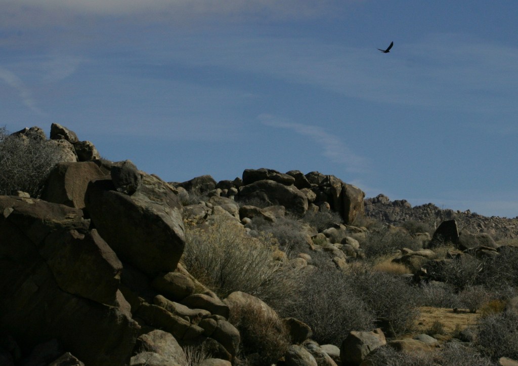
Mojave National Preserve is a massive 1.6-million acres of desert bounded by Interstate 15 to the north and Interstate 40 to the south.  Passed by millions of commuters every year, it does not take many miles of driving to leave behind the bustling freeways for a quiet landscape.  Species diversity is high here given its elevation range from 800 to 7,929 feet and its place at the intersection of three deserts: the Mojave, Great Basin, and Sonoran.  Watch for desert tortoises, Mojave rattlesnakes, roadrunners, ravens, kangaroo rats, mountain lions, mule deer, and some of the 1,000 bighorn sheep that reside in the preserve.

Highlights

Kelso Depot, film, Kelso Dunes, Hole-in-the-Wall Nature Trail, Rings Loop Trail

Must-Do Activity

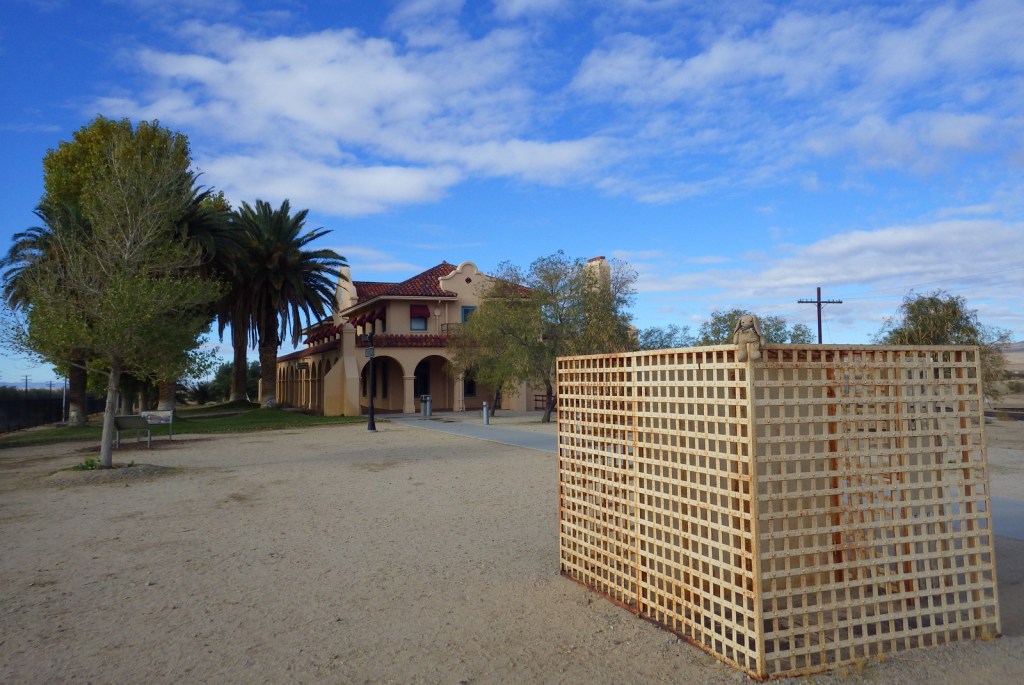
If you are driving on I-15 between California and Nevada consider entering the preserve via the Cima Road exit, with a first stop at its gas station’s interesting waterfall urinal in the men’s restroom.   From there drive south on a paved road into a dense Joshua tree forest on the gently sloping flanks of the enormous Cima Dome (an extinct volcano) and then stop at Kelso Depot where the National Park Service (NPS) operates a visitor center and museum.  From there you can continue south to the beautiful Kelso Dunes or take the paved Kelbaker Road back to Interstate 15 at Baker, home of the world’s tallest thermometer.

Best Trail

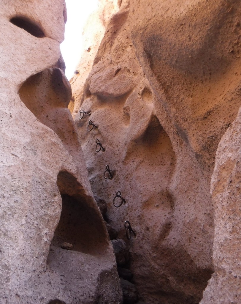
The one-mile Rings Loop Trail has metal rings cemented into its canyon walls in some places to help you ascend and descend steep portions.  Hole-in-the-Wall Nature Trail and the six-mile Barber Peak Loop Trail are also found in this area near the NPS campgrounds.

Instagram-worthy Photo

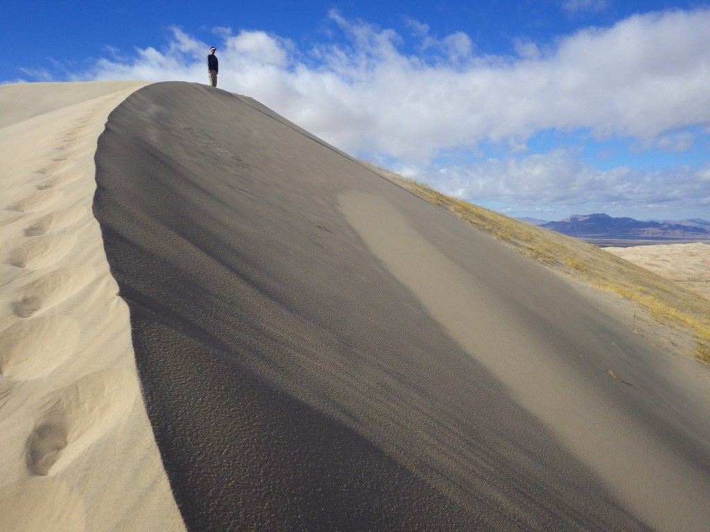
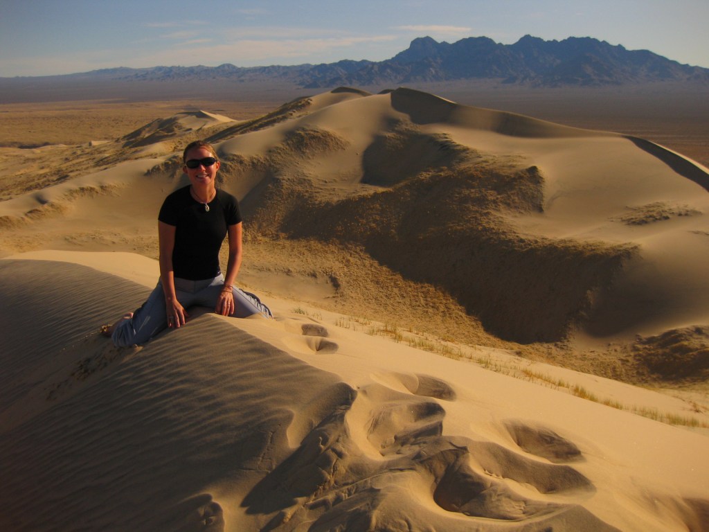
We love sand dunes (see our Top 10 list) and one of our favorites is the nearly 700-foot tall Kelso Dunes, which create a booming sound when the sand shifts and moisture conditions are right.

Peak Season

Spring and fall

Hours

https://www.nps.gov/moja/planyourvisit/hours.htm

Fees

None

Road Conditions

The main roads are paved, however, most of the 1,000 miles of roads are unpaved and some of them require a high-clearance vehicle, especially if you want to access neighboring Castle Mountains National Monument.

Camping

Dispersed camping is allowed throughout most of the preserve, but there are also NPS campgrounds around the Hole-in-the-Wall Ranger Station.

Related Sites

Castle Mountains National Monument (California)

Joshua Tree National Park (California)

Death Valley National Park (California)

Explore More – How many acres of Wilderness are designated within Mojave National Preserve?

Aztec Ruins National Monument

Overview

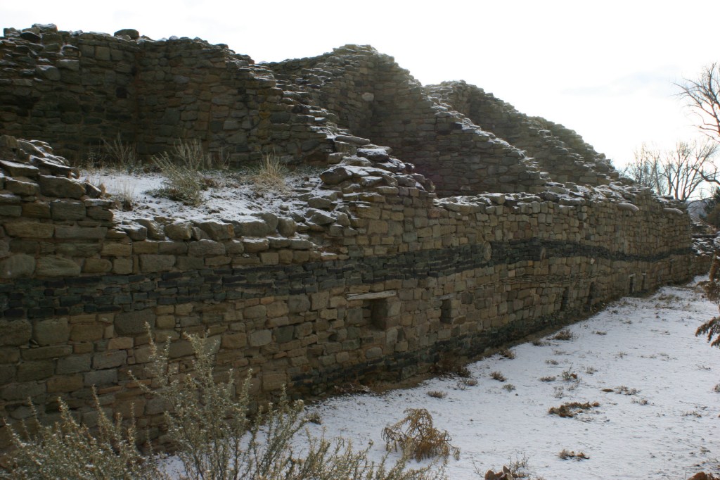
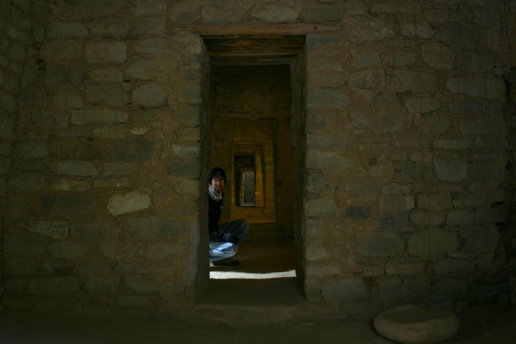
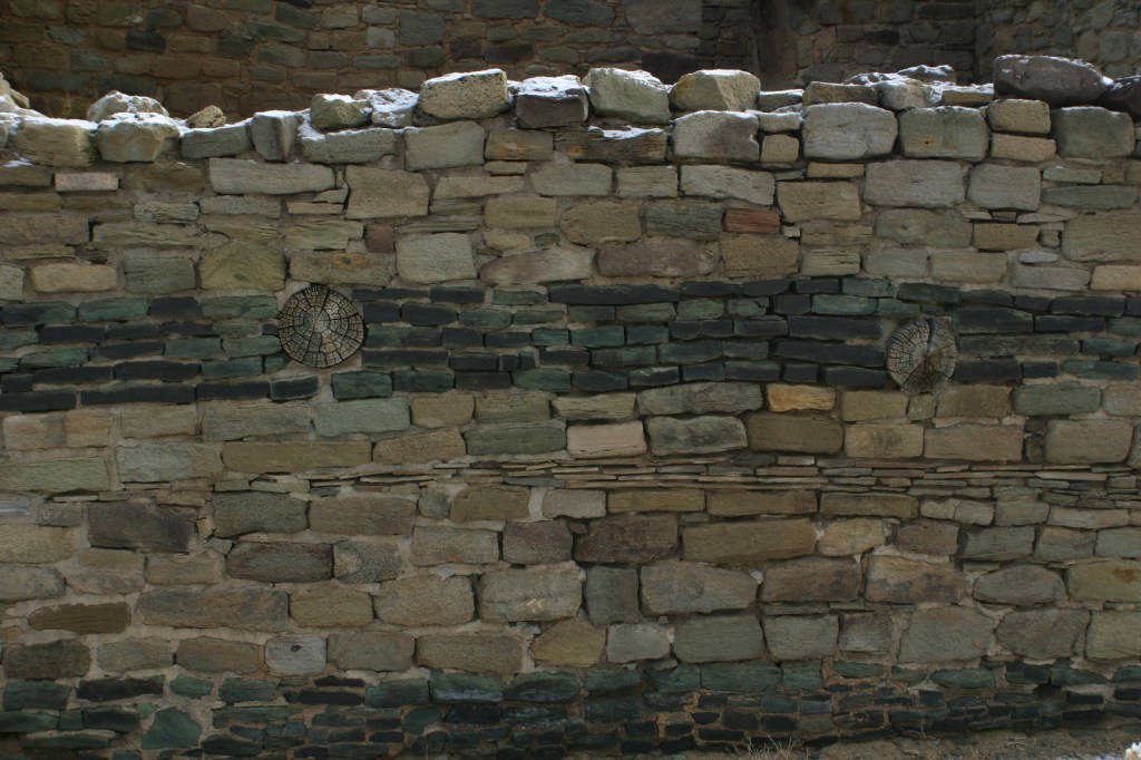
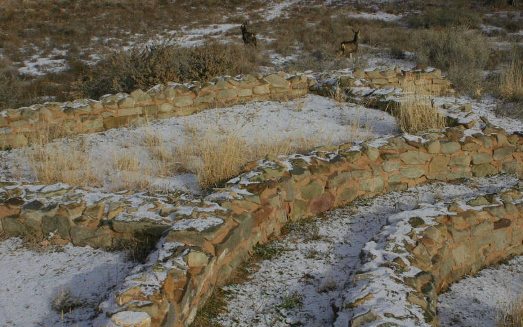
Aztec, New Mexico is home to the incredible Ancestral Puebloan ruins of a three-story, 400-room ancient apartment building near the Animas River.  Only partially excavated, Aztec Ruins National Monument has a variety of rock walls that display a change in building styles over the centuries.  Similar to Montezuma Castle National Monument in Arizona, Aztec was named for the Central Mexican culture mistakenly believed by earlier archaeologists to have had influence in this region.

Highlights

Museum, film, reconstructed great kiva, ruins

Must-Do Activity

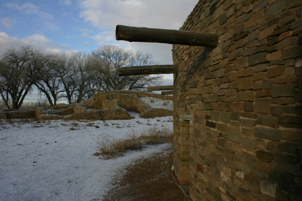
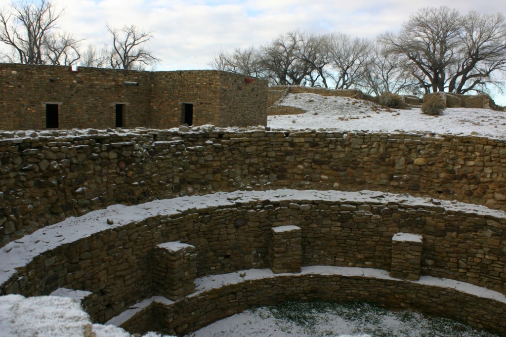
Aztec Ruins National Monument boasts a great kiva that was rebuilt to appear as it may have 800 years ago.  We especially recommend a visit before or after seeing the extensive ceremonial structures at nearby Chaco Culture National Historical Park.  Reconstruction is not appropriate at all National Park Service (NPS) sites, but here it helps the past come alive.  It is easy to imagine costumed dancers coming down the stairs into the smoky kiva to celebrate a religious ritual. 

Best Trail

The half-mile self-guided trail leads through ruins where wooden roofs have been partially reconstructed.  Aztec Ruins also has the same T-shaped doorways you may have seen at Mesa Verde National Park and Chaco Culture National Historical Park.

Instagram-worthy Photo

Darker stripes in the walls were decorative, and evidence of several architectural styles are evident at this site.

Peak Season

Summer

Hours

https://www.nps.gov/azru/planyourvisit/hours.htm

Fees

None

Road Conditions

All roads paved

Camping

There is an NPS campground at Chaco Culture National Historical Park, but we recommend the free campground in Angel Peak Recreation Area run by the Bureau of Land Management east of Highway 550.

Related Sites

Chaco Culture National Historical Park (New Mexico)

Pecos National Historical Park (New Mexico)

Bandelier National Monument (New Mexico)

Explore More – How far away from Aztec were the nearest Douglas-fir, ponderosa pine, and aspen trees used in the original roof construction?