Overview
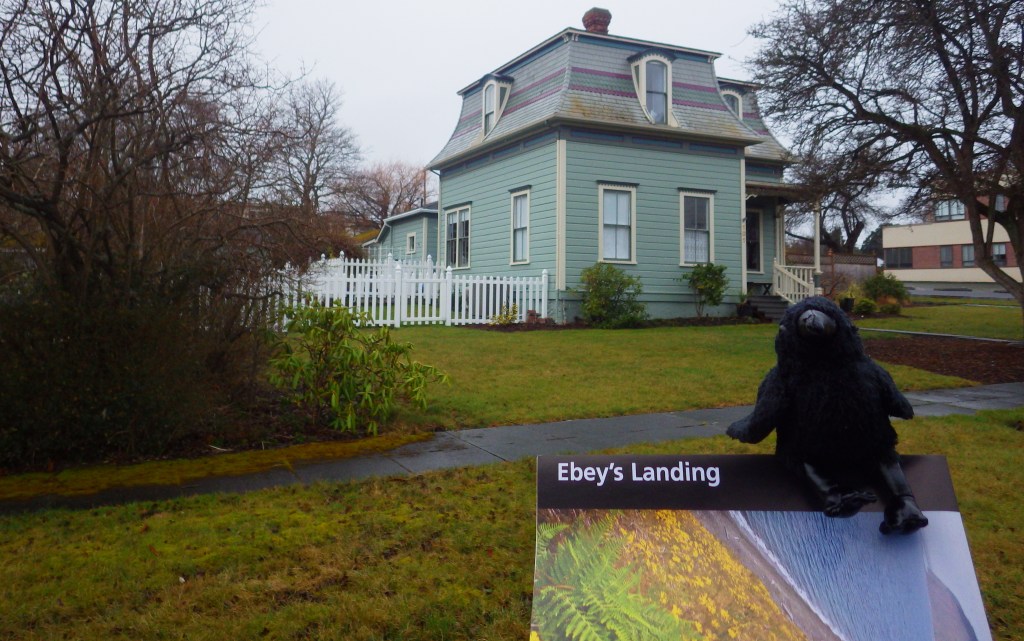
As the only National Historical Reserve in the National Park Service (NPS) system, Ebey’s Landing is a unique 17,000-acre site under federal, state, county, town, and private ownership. Located on Whidbey Island at the entrance to Puget Sound, it is accessible by ferry from the Seattle area and the Olympic Peninsula, or by driving Highway 20 across a bridge from the north (closer to Bellingham). There are nearly one hundred historical structures protected by the reserve, mostly Victorian houses within Coupeville, Washington.
Highlights
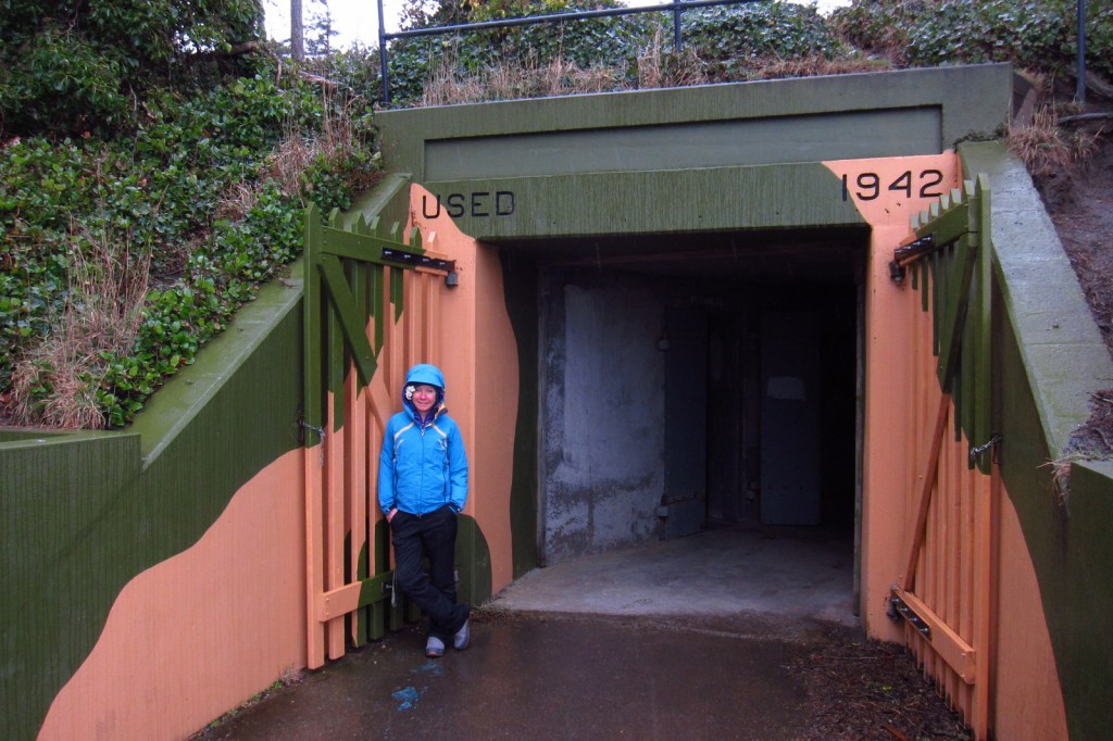
Jacob Ebey House, Davis Blockhouse, Fort Ebey State Park, Fort Casey State Park
Must-Do Activity
A good place to start your visit is at the Island County Historical Museum (which charges an admission fee) in Coupeville, Washington. After enjoying the Victorian architecture in town, drive to the Jacob Ebey House, World War II-era Fort Ebey State Park, and Fort Casey State Park where you will find gun emplacements from 1901 and picturesque Admiralty Head Lighthouse.
Best Trail
Much of Whidbey Island was prairie when it was settled in the 1850s, and remains pastoral, which is great for travelers looking for a glimpse back in time. Located adjacent to farm fields, Bluff Trail is known for its great views on clear days.
Instagram-worthy Photo
Admiralty Head Lighthouse provides a great photo op in Fort Casey State Park. Gun emplacements built there became obsolete shortly after their installation due to the rise of the airplane.

Peak Season
Summer
Hours
https://www.nps.gov/ebla/planyourvisit/hours.htm
Fees
None except at the 3 State Parks and Island County Historical Museum in Coupeville, Washington
Road Conditions
The main roads are all paved and any gravel roads are well-maintained.
Camping
Both Fort Casey State Park and Fort Ebey State Park have campgrounds, and the latter provides shower facilities.
Related Sites
San Juan Island National Historical Park (Washington)
Fort Vancouver National Historic Site (Washington)
Klondike Gold Rush National Historical Park (Alaska-Washington)

Island County Historical Museum 
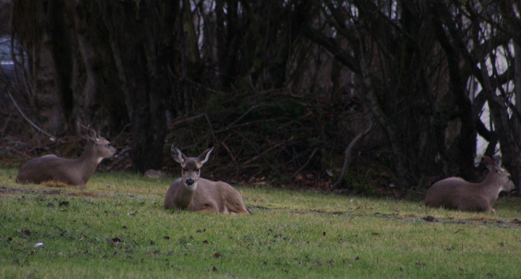
Black-tailed deer 
Fort Casey State Park 
This disappearing gun was relocated here from the Philippines in 1968 
Tiff in the Davis Blockhouse, restored in 2007 

Tiff at Fort Ebey State Park 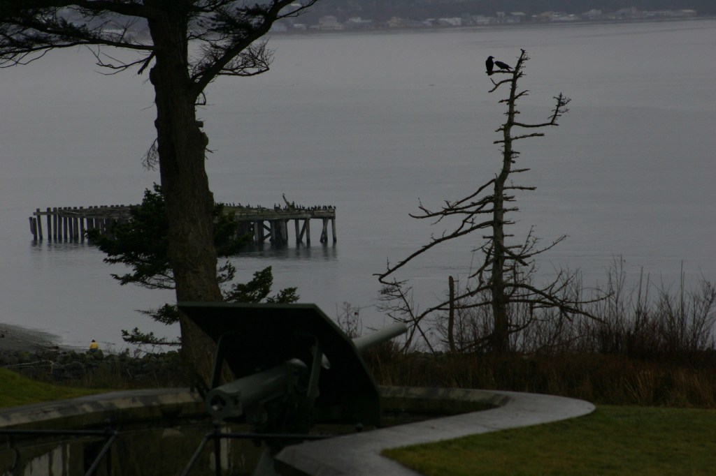
Black-tailed deer
Explore More – How many islands are there in Puget Sound (with the largest being Whidbey Island)?