Tag Archives: museum

Chippewa National Forest

Chippewa National Forest

Minnesota

Managed by U.S. Forest Service, Northeastern Region

1,599,664 acres (666,623 federal/ 933,041 other)

Website: https://www.fs.usda.gov/chippewa

Overview

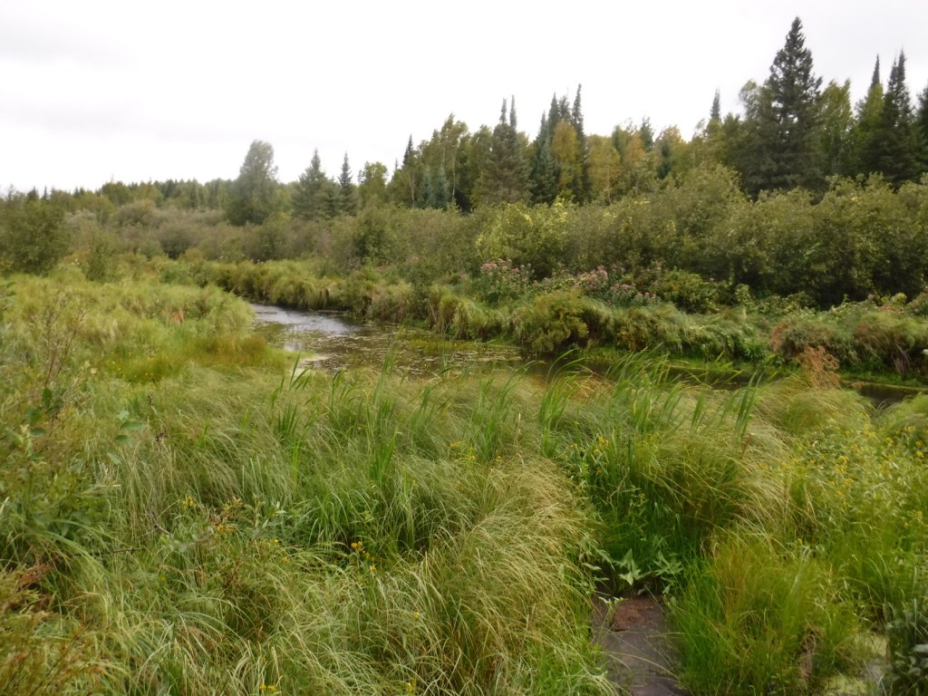
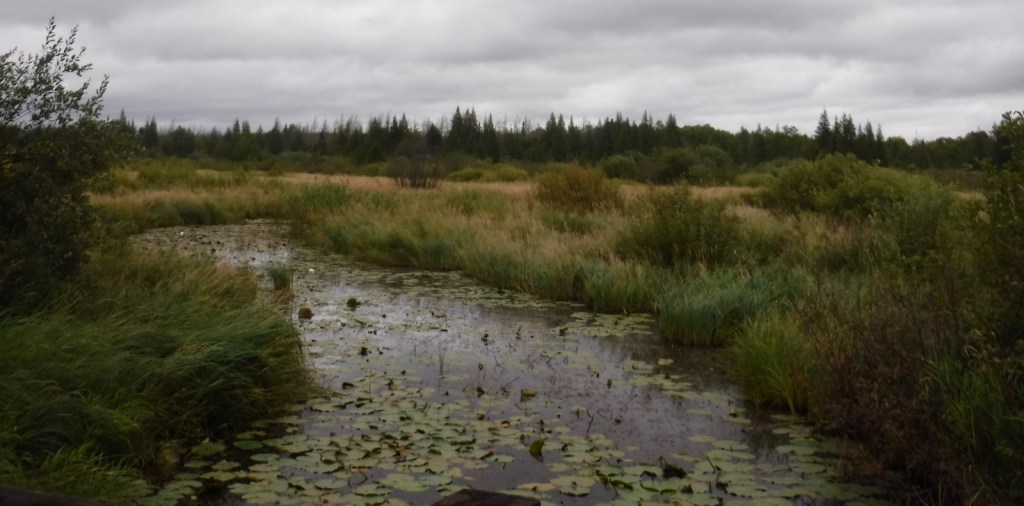
Following passage of the Morris Act in 1902, the Minnesota Forest Reserve was created from 200,000 acres of unallotted lands on Ojibwe Indian reservations.  It was renamed Chippewa National Forest in 1928 and 44% of its acreage remains part of the Leech Lake Indian Reservation.  The forest includes 1,300 lakes and ponds, 925 miles of rivers, and 440,000 acres of wetlands, which represents 13% of all surface water within the entire National Forest system and provides habitat for a variety of wildlife.  Three of the ten largest lakes in Minnesota are located here: Lake Winnibigoshish, Cass Lake, and Leech Lake.
Highlights

Edge of the Wilderness Scenic Byway, Avenue of Pines Scenic Byway, Lady Slipper Scenic Byway, Woodtick Auto Trail, Cass Lake, Camp Rabideau, Lake Winnibigoshish, Benjamin Lake, Norway Beach Recreation Area, Leech Lake, Lost 40 Natural Area, Heartland Bike Trail, Simpson Creek Trail, Cut Foot Sioux National Recreation Trail, Big Pine Forest Trail, Chippewa Adventure Trail, North Country National Scenic Trail

Must-Do Activity

Other than getting out on the water, a great way to explore Chippewa National Forest is by driving one of five designated Scenic Byways: Lake Country, Edge of the Wilderness, Avenue of Pines, Lady Slipper, and the Great River Road.  Chippewa National Forest has more than 3,000 archeological and historic sites, including Camp Rabideau, perhaps the best preserved Civilian Conservation Corps (CCC) camp left from the 1930s.  Free guided tours of the camp are offered in summer, or you can take a self-guided tour around the well-signed buildings during daylight hours.

Best Trail

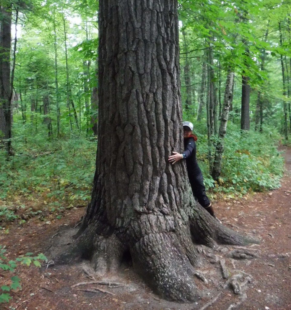
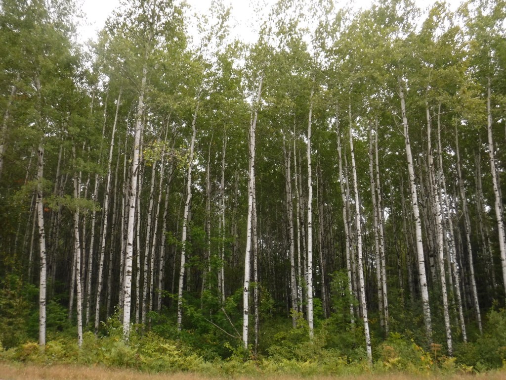
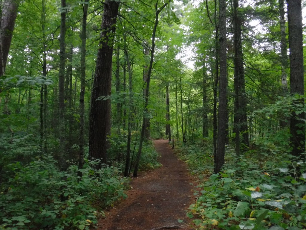
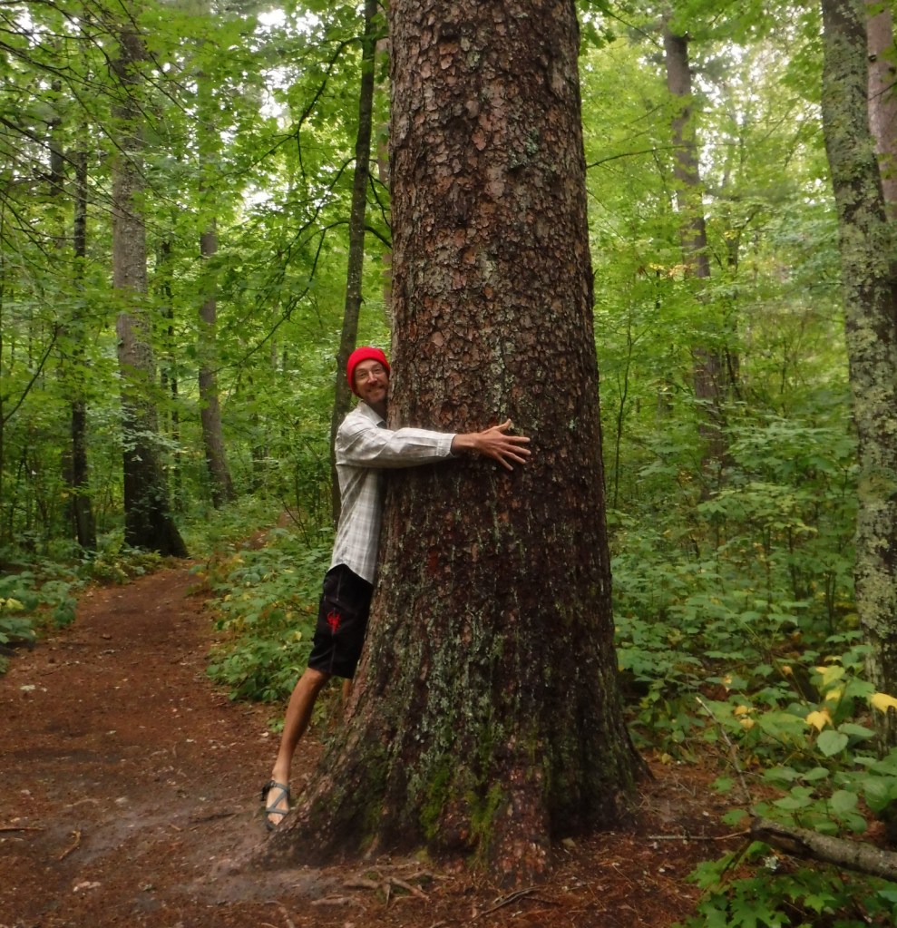
The Lost 40 is 144 acres of old-growth red and white pine forest that was never logged due to a surveying error that mapped the area as part of Coddington Lake in 1882.  The oldest tree here is more than 250 years old and can be seen on an easy one-mile loop trail with interpretive signs.  There is also an optional 0.2-mile one-way spur to an overlook of Moose Brook.  The trailhead is located east of Blackduck, Minnesota on well-signed back roads and is also popular for snowshoeing in the winter.

Watchable Wildlife

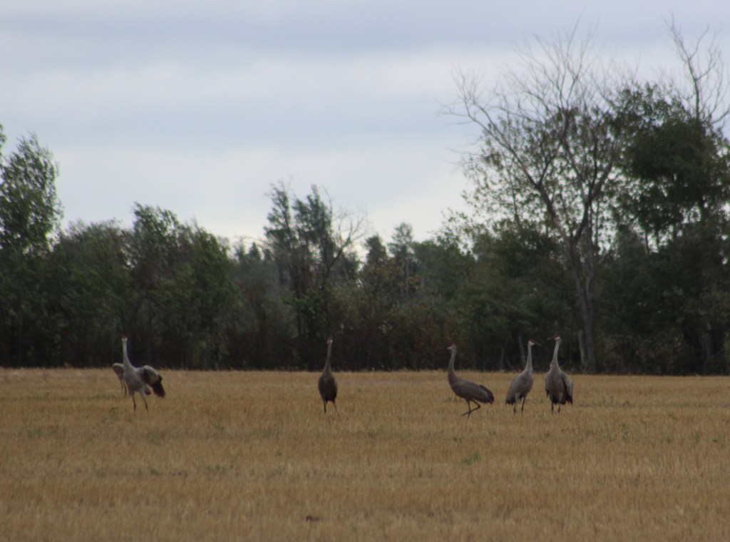
The most vocal and noticeable residents of Chippewa National Forest are its red squirrels, sandhill cranes, and common loons.  Its many rivers and lakes make ideal habitat for its 180 nesting pairs of bald eagles, one of the highest densities in the contiguous U.S.  Rarer wildlife sightings include Canadian lynx, black bears, moose, and trumpeter swans.  Important gamefish include lake trout, smallmouth bass, walleye, northern pike, and muskellunge (muskie). 

Instagram-worthy Photo

The largest red pine in the Lost 40 is 120 feet tall and three feet in diameter.
Peak Season

Summer

Fees

None

Road Conditions

The scenic byways seem to all be paved, but the roads accessing the Lost 40 and Camp Rabideau are unpaved, although well-signed and maintained.

Camping

The National Forest contains 21 developed campgrounds and 68 official dispersed camping locations. 

Wilderness Areas

None

Related Sites

Grand Portage National Monument (Minnesota)

Mississippi National River and Recreation Area (Minnesota)

Superior National Forest (Minnesota)

Nearest National Park

Voyageurs

Conifer Tree Species

northern white-cedar, tamarack, red pine, eastern white pine, jack pine, balsam fir, black spruce, white spruce

Flowering Tree Species

basswood, sugar maple, red maple, northern red oak, bur oak, basswood, American elm, slippery elm, bog birch, yellow birch, paper birch, bigtooth aspen, quaking aspen, balsam poplar

Explore More – The Lost 40 grows on an esker (or glacial ridge); how many years ago did the esker form?

Learn more about Chippewa and the 154 other National Forests in our new guidebook Out in the Woods

We are a participant in the Amazon Services LLC Associates Program, an affiliate advertising program designed to provide a means for us to earn fees by linking to Amazon.com and affiliated sites.

Challis National Forest

Challis National Forest

Idaho

Managed by U.S. Forest Service, Intermountain Region

2,488,105 acres (2,463,471 federal/ 24,634 other)

Website: https://www.fs.usda.gov/scnf/

Overview

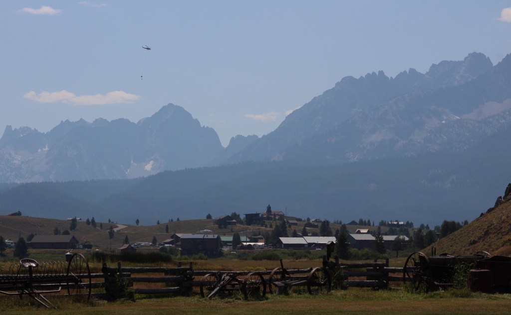
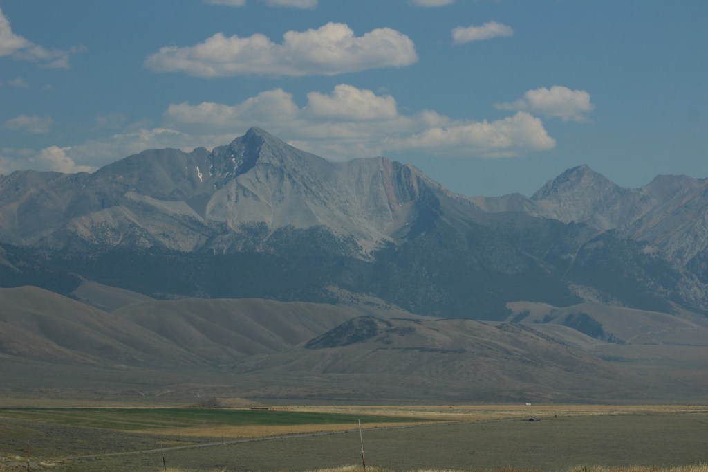
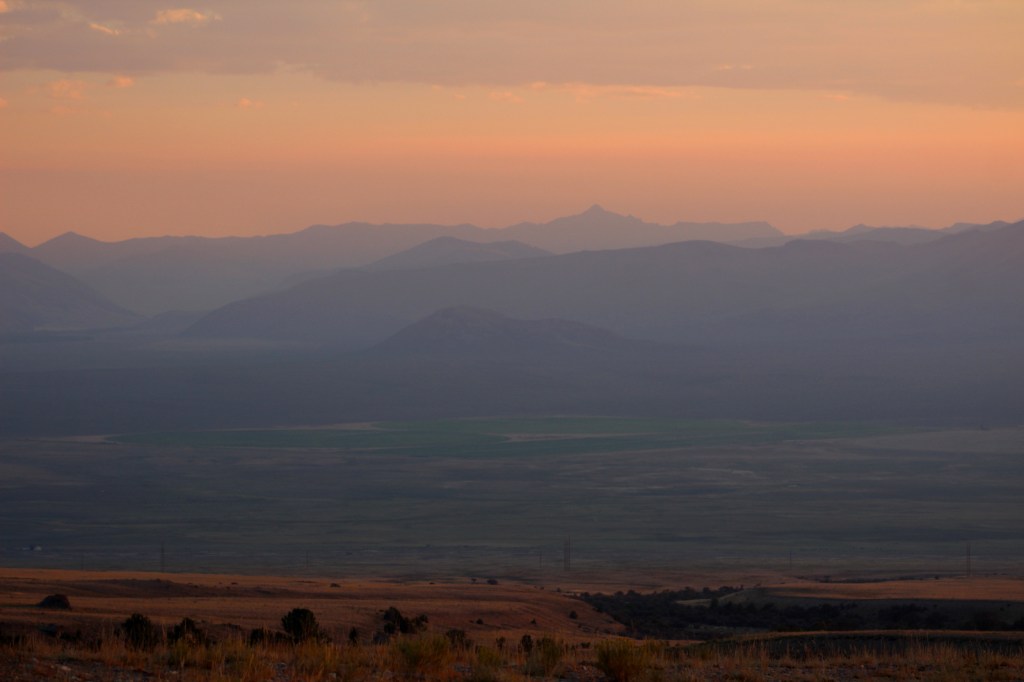
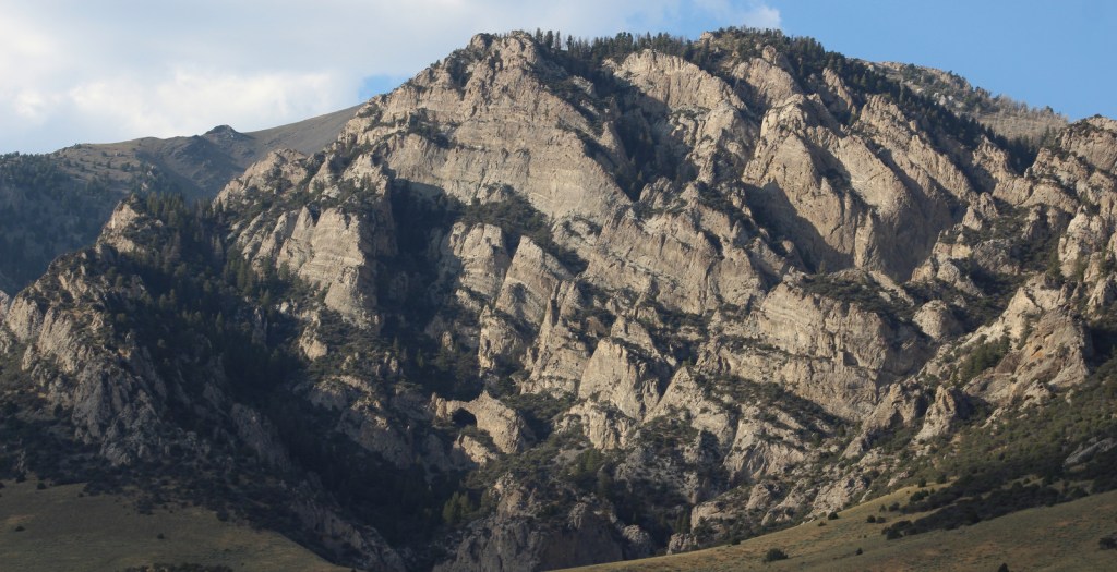
Challis National Forest covers the southern portion of the co-managed Salmon-Challis National Forest in central Idaho.  It includes the northern parts of Sawtooth National Recreation Area and a section of the Salmon Wild and Scenic River, as well as several northwest-southeast running mountain ranges.  In the forest’s scenic Lost River Range, 12,667-foot Borah Peak is the highest point in Idaho.  Further south near Arco, a steep half-mile trail leads to King Mountain Natural Arch in Bridge Canyon, a limestone formation with an 80-foot span. 

Highlights

Salmon River Scenic Byway, Stanley Museum, Sunbeam Hot Springs, Custer Adventure Motorway, Yankee Fork Hot Springs, Lemhi Range, White Knob Mountains, Camas Meadows, Challis Creek Lakes, Hidden Mouth Cave, Sawtooth Lake, White Cloud Peaks, Grover Creek Lake, Borah Peak

Must-Do Activity

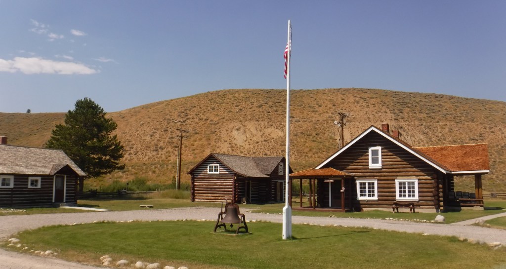
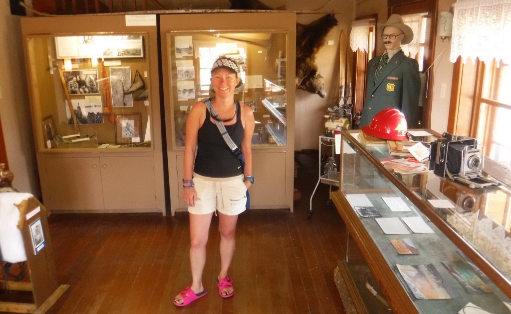
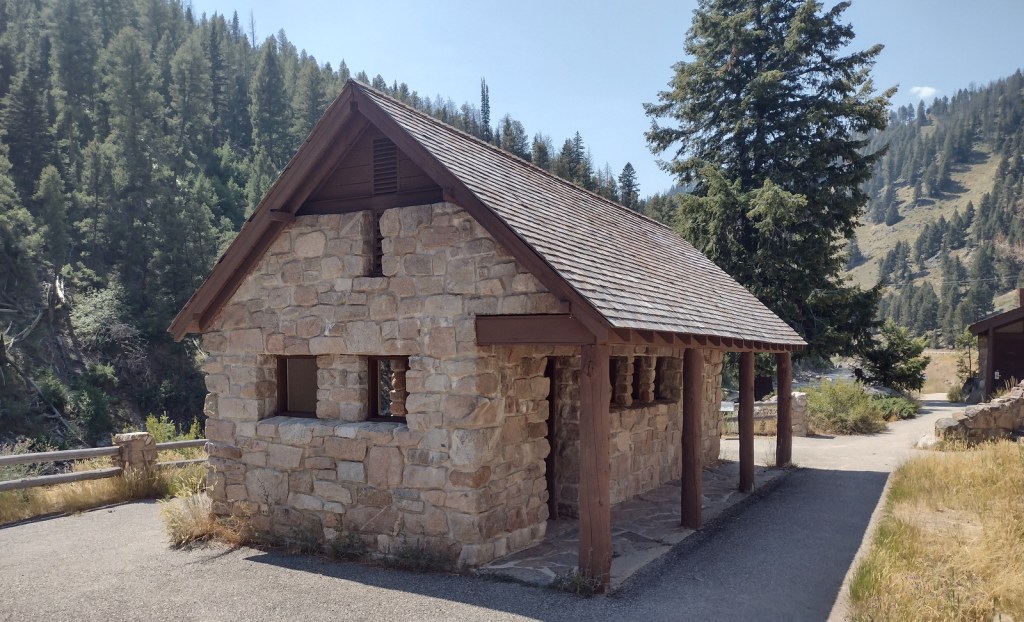
The Salmon River Scenic Byway runs 162 miles to Lost Trail Pass, starting in Stanley where it intersects with the Sawtooth and Ponderosa Pine Scenic Byways.  Challis National Forest manages the free Stanley Museum there inside the historic Valley Creek Ranger Station.  Further down the road, the Sunbeam Bathhouse was built in 1937 by the Civilian Conservation Corps (CCC) at a hot springs on the Salmon River where people still go to soak seeking the perfect spot between the frigid river and scalding spring water.

Best Trail

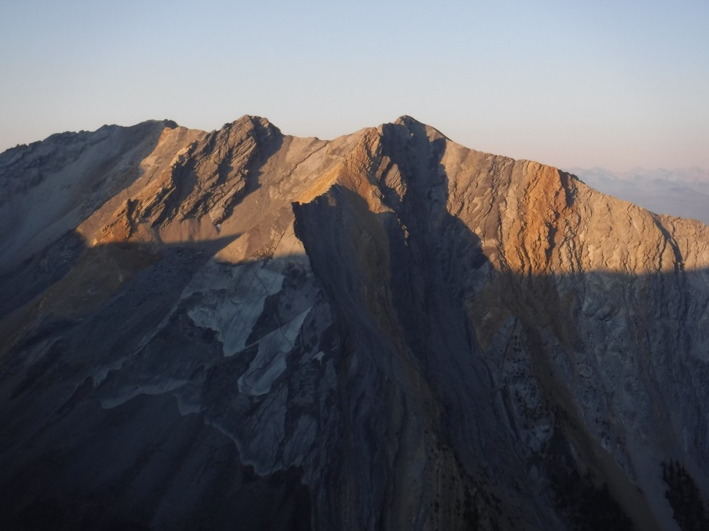
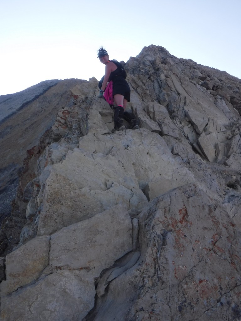
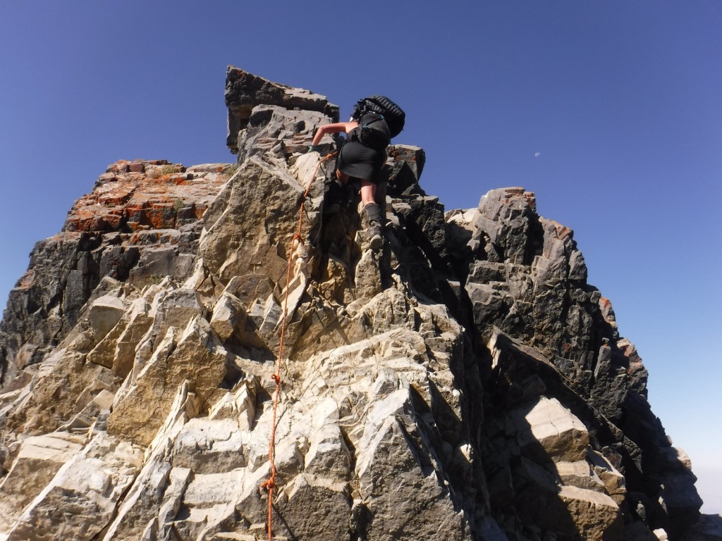
We previously covered the trail to stunning Sawtooth Lake in our post on Sawtooth National Recreation Area.  While it is not for everyone due to its strenuousness, we will write here about the route up 12,667-foot Borah Peak.  From its beginning (which we started in the dark) the entire trail is incredibly steep, so much so that we ran back down the final two miles because it was easier on our knees.  The route gains 5,400 feet of elevation in 4.5 miles and often requires the use of your hands, but no special climbing equipment.  Even if you decide to turn around at Chicken-Out Ridge before ascending the Knife Edge, the panoramic scenery is well worth the effort.

Watchable Wildlife

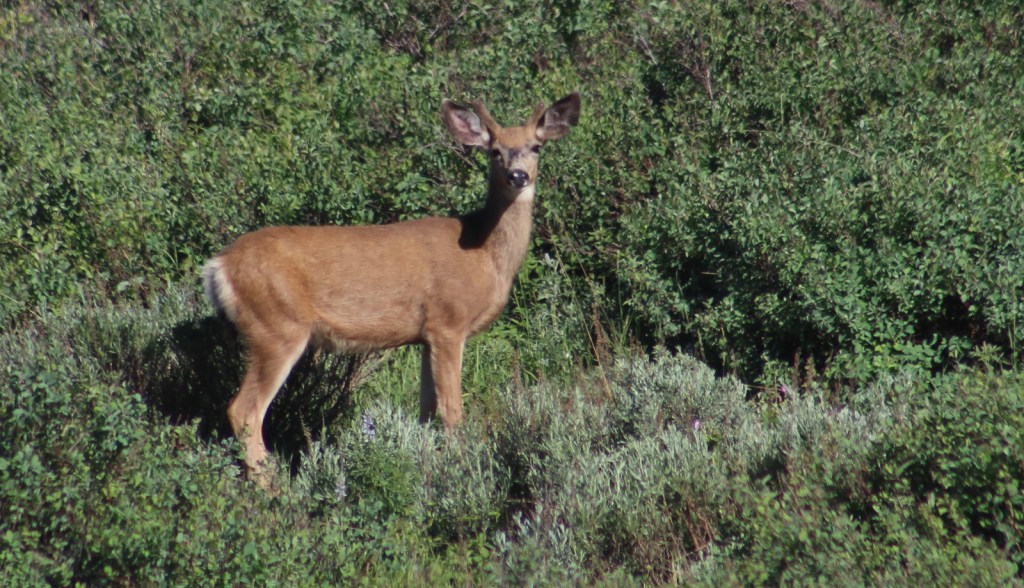
This is a fairly arid portion of the west, so you are more likely to see a ground squirrel or coyote than any other wildlife.  Trout fishing is a popular activity in the Salmon River.  Large mammalian species include elk, mule deer, pronghorns, and black bears.  Ravens and a variety of birds of prey catch the thermals around Borah Peak.

Instagram-worthy Photo

The view of King Mountain Natural Arch’s 80-foot span is arguably better while driving in than it is after ascending the treacherous final mile of road and hiking the steep half-mile trail to its overlook (see below).

Peak Season

Late summer due to snowpack

Fees

None

Road Conditions

The road from Highway 93 to the Borah Peak Campground and Trailhead is well maintained.  The last mile of road to the trailhead for King Mountain Natural Arch requires a high-clearance vehicle, but the nine miles of unpaved roads before that are decent and well signed (although we got a flat tire).

Camping

The campground at the base of Borah Peak is only $5 per night and allows climbers to get an early start.  There are many campgrounds along the Salmon River Scenic Byway and historic Yankee Fork Road/ Custer Adventure Motorway.

Wilderness Areas

Frank Church-River of No Return Wilderness (also in Bitterroot, Boise, Nez Perce, Payette, and Salmon National Forests)

Jim McClure-Jerry Peak Wilderness (also run by the Bureau of Land Management)

Sawtooth Wilderness (also in Boise and Sawtooth National Forests)

Related Sites

Caribou National Forest (Idaho-Utah-Wyoming)

Craters of the Moon National Monument and Preserve (Idaho)

Minidoka National Historic Site (Idaho-Washington)

Nearest National Park

Yellowstone

Conifer Tree Species

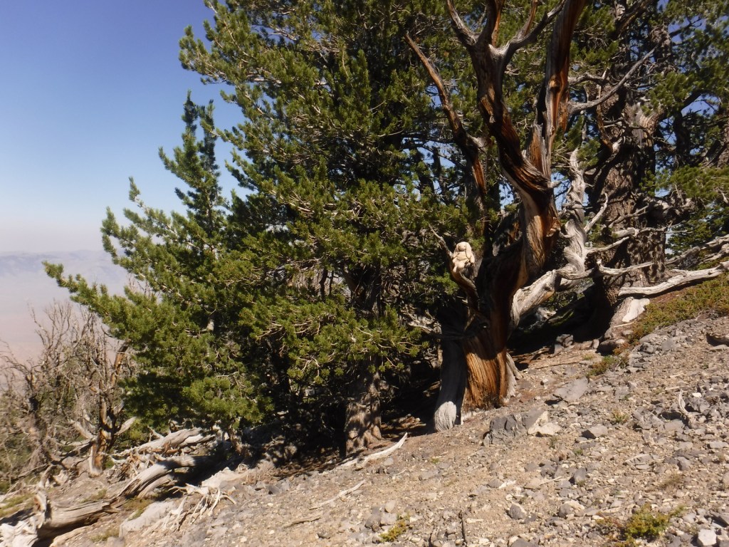
Engelmann spruce, subalpine fir, ponderosa pine, lodgepole pine, limber pine, whitebark pine, Douglas-fir, Rocky Mountain juniper

Flowering Tree Species

quaking aspen, water birch, Rocky Mountain maple, boxelder, Bebb willow, blue elderberry, chokecherry, curlleaf mountain-mahogany, white alder, syringa, sagebrush

Explore More – How many Civilian Conservation Corps (CCC) camps were in Idaho during the Great Depression?

Learn more about Challis and the 154 other National Forests in our new guidebook Out in the Woods

We are a participant in the Amazon Services LLC Associates Program, an affiliate advertising program designed to provide a means for us to earn fees by linking to Amazon.com and affiliated sites.

Caribou National Forest

Caribou National Forest

Idaho, Utah, Wyoming

Managed by U.S. Forest Service, Intermountain Region

1,085,966 acres (987,216 federal/ 98,750 other)

Website: https://www.fs.usda.gov/ctnf

Overview

Co-managed as Caribou-Targhee National Forest since 2000, Caribou National Forest is located in the southeastern corner of Idaho.  To add to the jurisdictional muddle, Caribou National Forest has also administered the 263,940-acre Idaho portion of Wasatch-Cache National Forest since 1973 (see previous blog post).  However, nearly 50 years later all of the wooden signs in this area still read Cache National Forest.  Despite the signage, U.S. Forest Service publications and topographic maps identify Minnetonka Cave and Paris Ice Cave as being in Caribou-Targhee National Forest, so we went with that.  Confused?  So are we, so much so that we made a phone call to a Forest Service employee in this ranger district that still did not clear up the bureaucratic mess.

Highlights

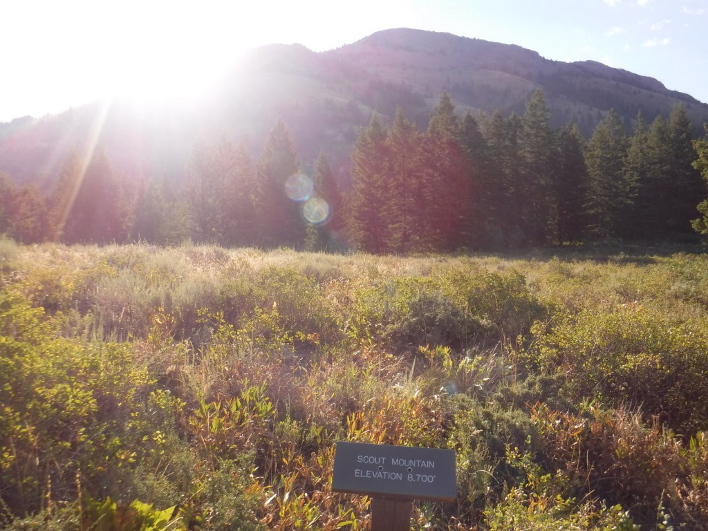
Pioneer Historic Scenic Byway, Minnetonka Cave, Paris Ice Cave, Caribou City ghost town, Malad Range, Tincup Mountain, Oregon Trail-Bear Lake Scenic Byway, Lander Cutoff, Oneida Salt Works, Cherry Springs Nature Area, Montpelier Canyon, Bloomington Lake, Scout Mountain Nature Trail

Must-Do Activity

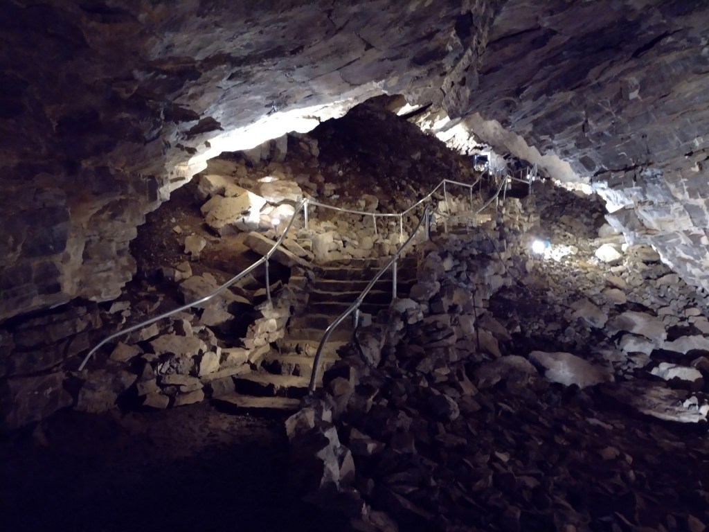
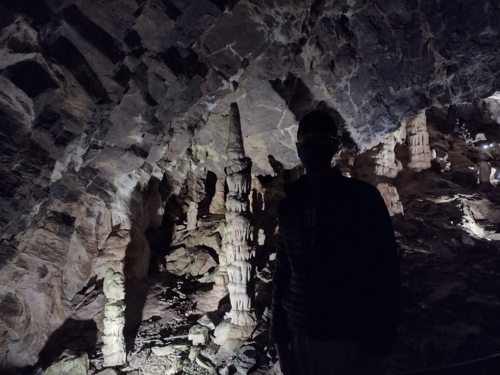
In Montpelier, Idaho, the National Oregon/California Trail Center is managed by the U.S. Forest Service on the Pioneer Historic Scenic Byway.  To the southwest, Minnetonka Cave is one of the few developed cave tours offered by (a concessionaire for) the Forest Service.  The natural entrance to Minnetonka Cave was widened and the route lighted by the Works Progress Administration in the 1930s when 444 stairs were installed to allow large groups to visit.  The tour goes out and back on the same route so the steep downward sections become climbs on the return trip, but guides make multiple stops in both directions to allow you to catch your breath at this high elevation.

Best Trail

Further north than Minnetonka Cave, a 9.5-mile long dirt road drive up to 7,800 feet in elevation leads to the short boardwalk through the Paris Ice Cave.  This photogenic natural tunnel is open at both ends so it does not require a flashlight, but does retain snowpack deep into the summer months.  Signs at both caves still say Cache National Forest even though this district has not been managed by them since 1973.

Watchable Wildlife

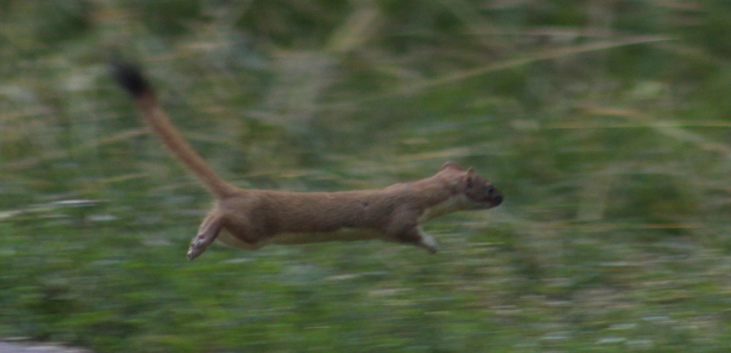
This is a fairly arid portion of the west, so you are more likely to see a ground squirrel, coyote, or mule deer than any other wildlife.  In Minnetonka Cave, our tour guide pointed out a couple Townsend’s big-eared bats, which is why they screen all visitors for white-nosed bat syndrome.  We disturbed a nesting robin when exiting the Paris Ice Cave.

Instagram-worthy Photo

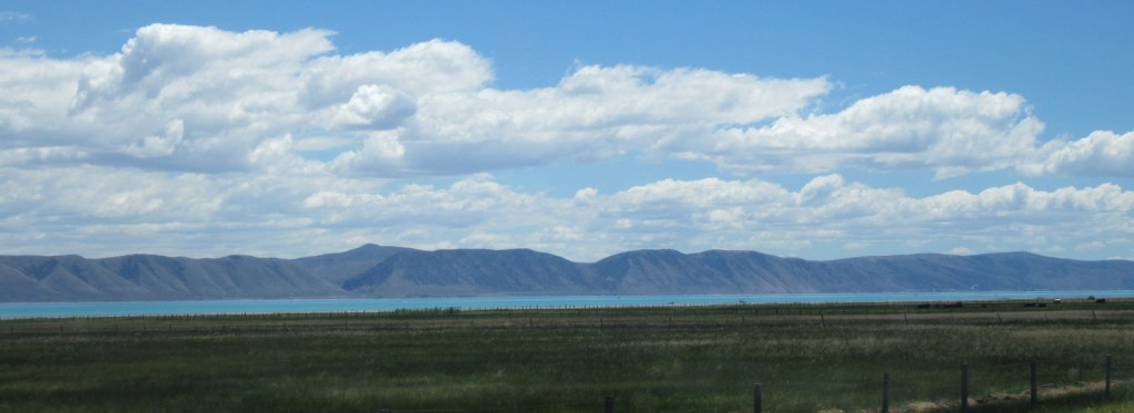
On the Idaho-Utah border, the 109-square-mile Bear Lake has been called the “Caribbean of the Rockies” because of its water’s intense turquoise color, due to suspended limestone sediment.  The naturally-formed lake sits at 5,924 feet in elevation and its maximum depth is 208 feet.  Both states have their own Bear Lake State Park with boat ramps and beaches for swimming. 

Peak Season

Summer

Fees

It costs $12 per person for the 80-minute Minnetonka Cave Tour that you must pay before driving up to the actual cave, but we did not come across any other fees.

Road Conditions

Access to Minnetonka Cave is paved and the 9.5-mile long dirt road drive up to Paris Ice Cave was good enough for our passenger vehicle to handle.

Camping

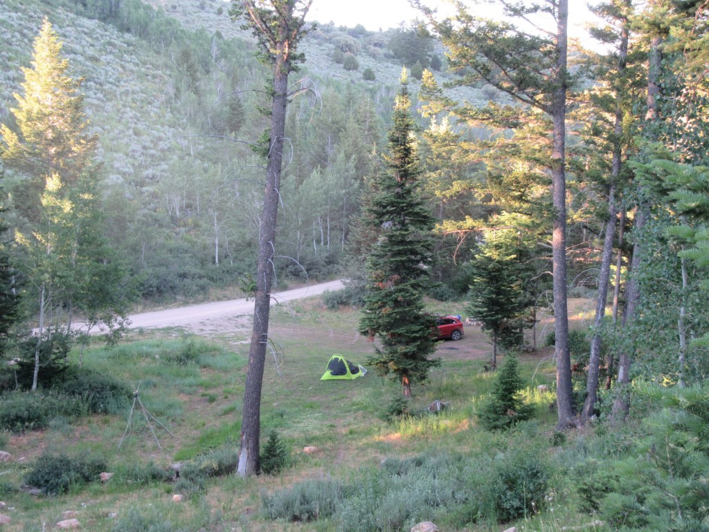
There are numerous campgrounds on the way to Minnetonka Cave and we found a large, flat dispersed camp along the road to Paris Ice Cave.

Wilderness Areas

None

Related Sites

Targhee National Forest (Idaho-Wyoming)

Fossil Butte National Monument (Wyoming)

Timpanogos Cave National Monument (Utah)

Nearest National Park

Grand Teton (Wyoming)

Conifer Tree Species

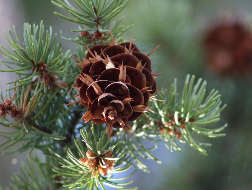
Rocky Mountain juniper, Utah juniper, limber pine, whitebark pine, ponderosa pine, lodgepole pine, Engelmann spruce, subalpine fir, white fir, Douglas-fir

Flowering Tree Species

quaking aspen, river birch, boxelder, Rocky Mountain maple, Bebb willow, blue elderberry, red osier dogwood, chokecherry, curlleaf mountain-mahogany, sagebrush

Explore More – The Caribou Mountains were named for a gold miner nicknamed “Cariboo Jack,” but what was his real name?

Learn more about Caribou and the 154 other National Forests in our new guidebook Out in the Woods

We are a participant in the Amazon Services LLC Associates Program, an affiliate advertising program designed to provide a means for us to earn fees by linking to Amazon.com and affiliated sites.
Timucuan Ecological and Historic Preserve

Overview

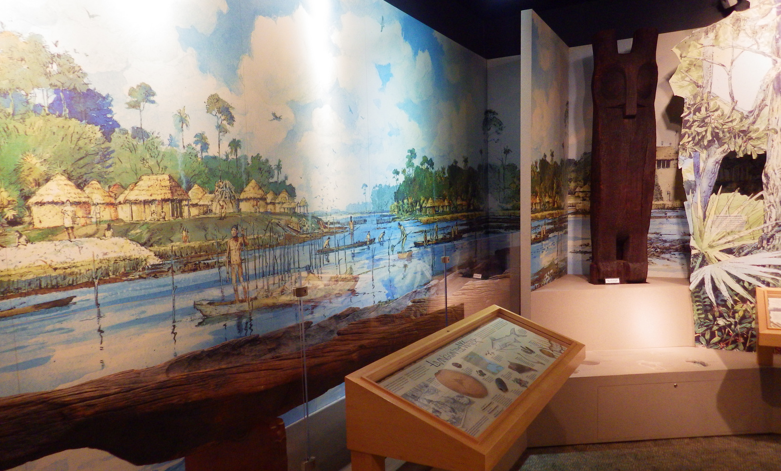
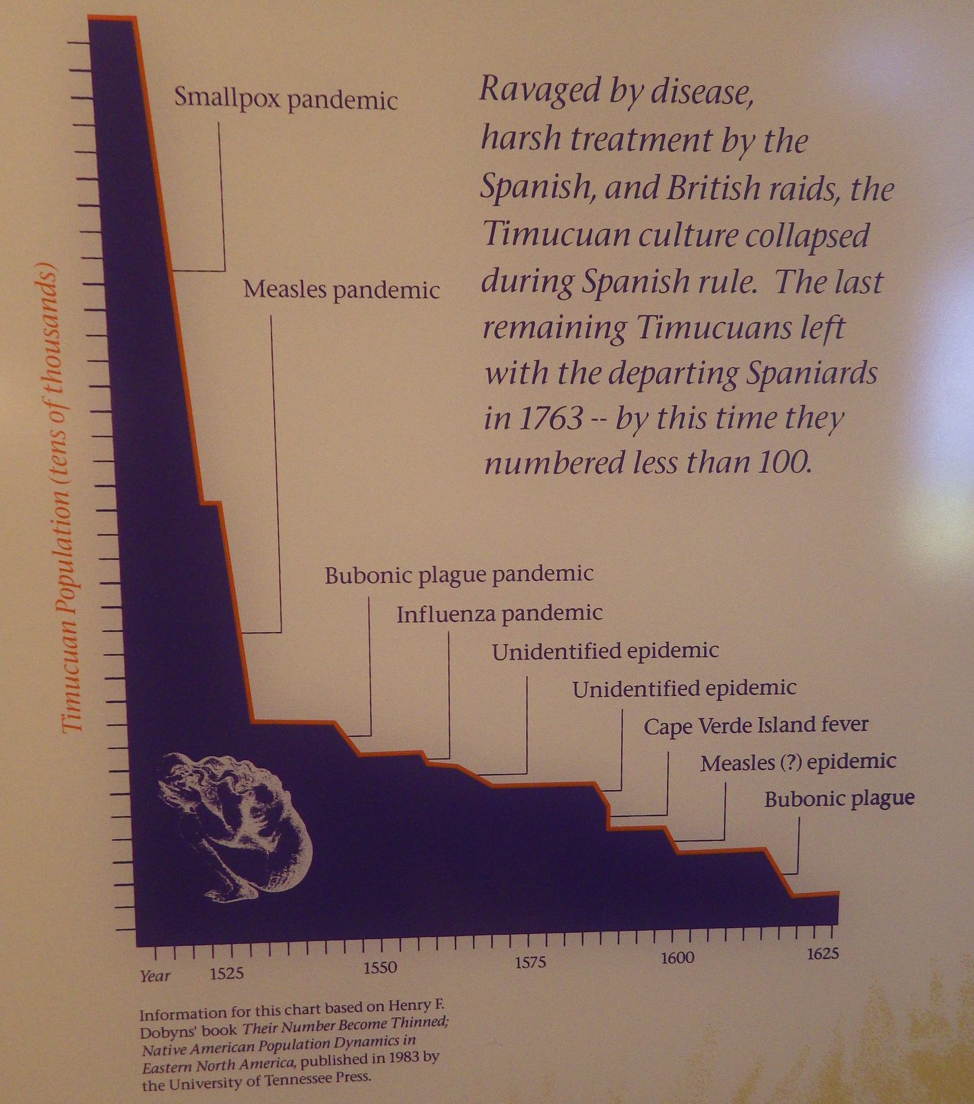
The Timucuan Indians inhabited northeastern Florida’s coastal wetlands and maritime hammocks when French colonists first arrived in 1562.  The settlers constructed Fort Caroline (a National Memorial established in 1950), which the National Park Service (NPS) administers as a unit of Timucuan Ecological and Historic Preserve (established in 1988).  Start your visit at the NPS museum at Fort Caroline National Memorial, which provides information on the indigenous Timucuan, as well as the European colonization efforts.  Then you can tour a one-third scale reconstruction of the triangular Fort Caroline based upon a drawing from 1564 by French artist Jacques le Moyne.

Highlights

Fort Caroline, Kingsley Plantation, Theodore Roosevelt Area

Must-Do Activity

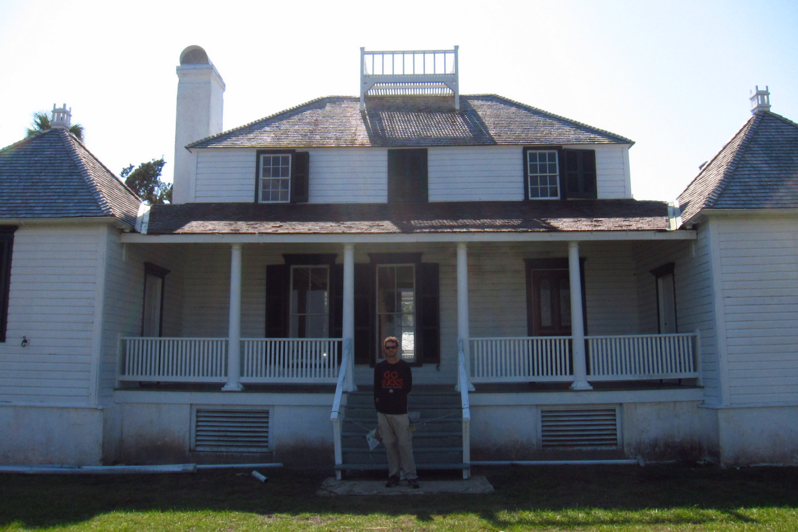
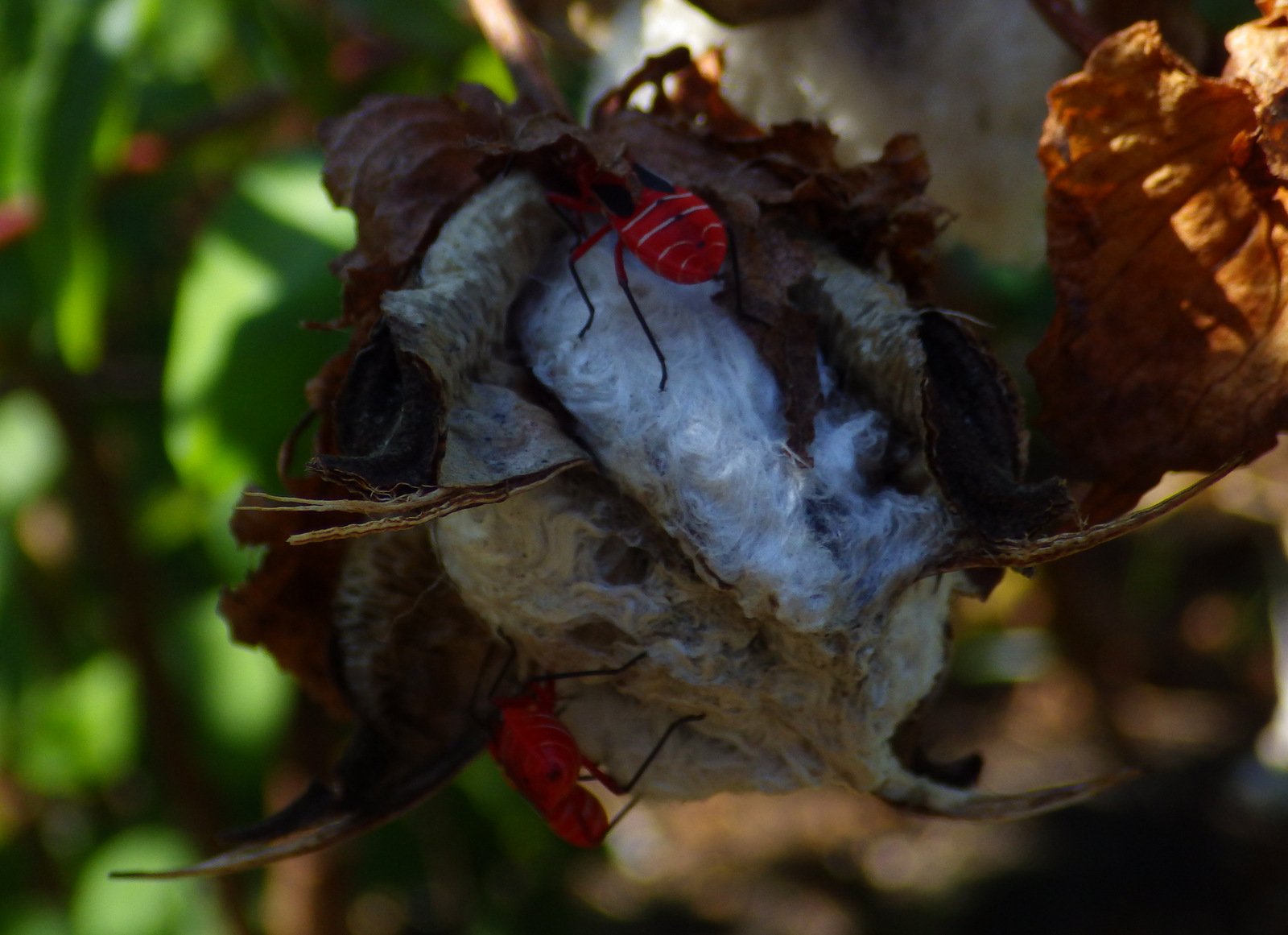
The second place the NPS manages a visitor center is at Kingsley Plantation on Fort George Island east of Jacksonville, Florida.  Established in 1798, it is the oldest remaining plantation house in Florida.  Slaves here harvested Sea Island cotton, which is still grown in a small garden alongside indigo, another regional cash crop.  Visitors can take a self-guided trail around the property, but tours inside the main plantation house are only offered on weekends and require a reservation.

Best Trail

The 1.5-mile Willie Browne Trail winds through the 600 undeveloped acres at Theodore Roosevelt Area, donated by the trail’s namesake to the Nature Conservancy in 1969.  The Spanish Pond Trail connects this trail with Fort Caroline National Memorial.

Instagram-worthy Photo

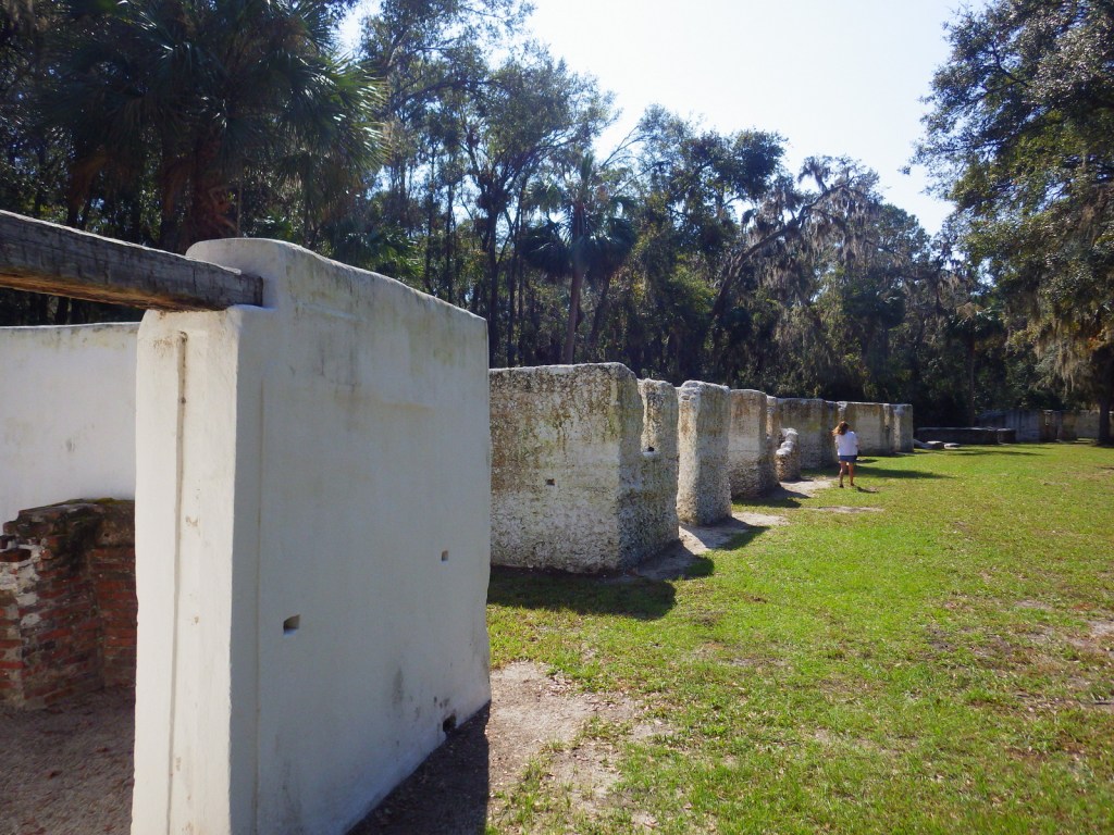
The tabby walls of 23 of the original 32 slave quarters still stand in a row at Kingsley Plantation. 

Peak Season

Winter

Hours

https://www.nps.gov/timu/planyourvisit/hours.htm

Fees

None

Road Conditions

All major roads are paved, but the fastest route between Fort Caroline and Kingsley Plantation is probably via the St. Johns River Ferry.

Camping

The NPS does not have a campground, but nearby Little Talbot Island State Park, Huguenot Memorial Park, and Kathryn Abbey Hanna Park all do.

Related Sites

Fort Caroline National Memorial (Florida)

Fort Matanzas National Monument (Florida)

Castillo de San Marcos National Monument (Florida)

Explore More – Florida had “relatively liberal” racial policies under Spanish rule, but that changed when it became a U.S. territory in what year?

Hamilton Grange National Memorial

Overview

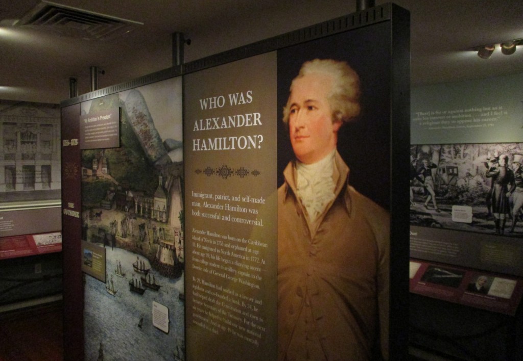
Anyone who has watched the musical Hamilton is familiar with the life story of Alexander Hamilton.  Hamilton Grange National Memorial is the only National Park Service (NPS) site dedicated to this “founding father.”  It is also the only one of 45 National Memorials built by the person it honors.  What you may not know is that his historic home in New York City has been moved twice, once in 1889 and again in 2008.

Highlights

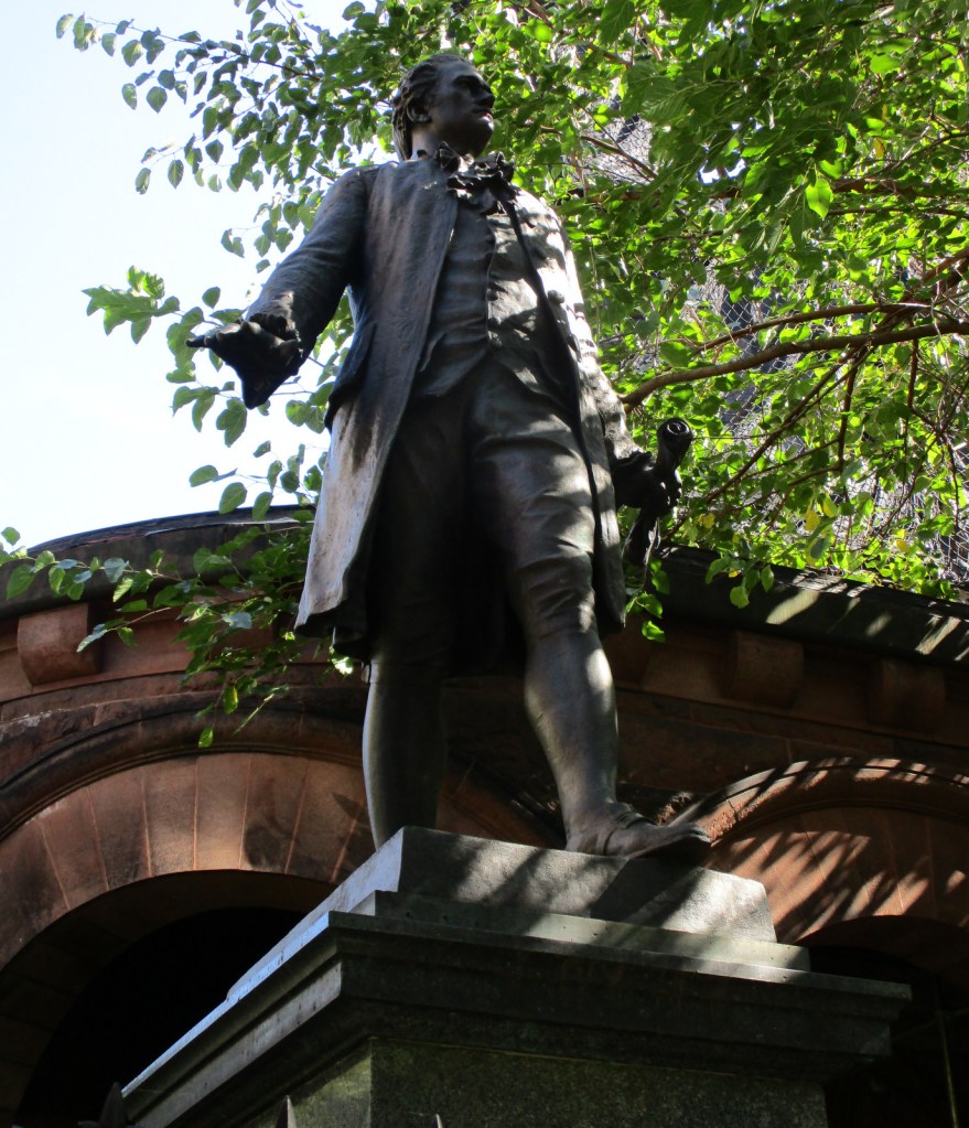
Museum, tour, statue at St. Luke’s Episcopal Church

Must-Do Activity

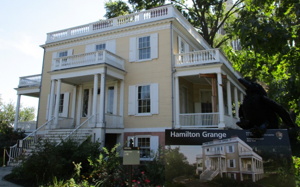
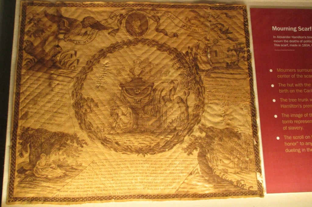
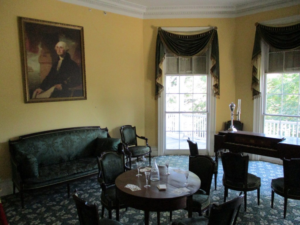
The Grange gets its name from the Hamilton family’s ancestral home in Scotland.  Built in 1802 on a 32-acre estate in Upper Manhattan, Hamilton only lived there two years before being shot and killed in an infamous duel with Aaron Burr.  Today you enter the home through the basement where the NPS runs a museum.  Access upstairs is available on guided tours or during daily “open house” hours, but you must leave large items in lockers.

Best Trail

None

Instagram-worthy Photo

The Grange was tucked between St. Luke’s Episcopal Church and an apartment building until 2008 when the NPS moved it to St. Nicholas Park, part of the original 32-acre estate.  A statue of Alexander Hamilton still stands where the house resided for more than a century.

Peak Season

Summer

Hours

https://www.nps.gov/hagr/planyourvisit/hours.htm

Fees

None

Road Conditions

It is easiest not to drive into New York City, instead opt to take public transportation.

Camping

None

Related Sites

African Burial Ground National Monument (New York)

Federal Hall National Memorial (New York)

Saint Paul’s Church National Historic Site (New York)

Explore More – After resuming his law practice in 1795, Hamilton represented free and enslaved African Americans and defended a newspaper editor sued for slander by which future president?