Tag Archives: mountains

Arizona Trail Days 24 to 34

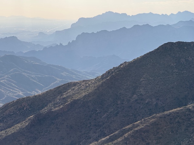
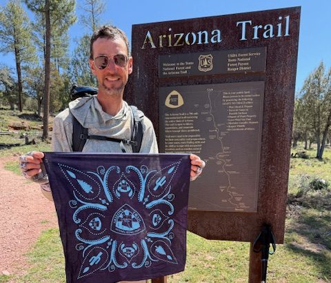
After two “zero days” I returned to the Gila River at the lowest point on the Arizona Trail (AZT) where temperatures had cooled considerably from two weeks before. In 36 days (including six zeroes), I have now completed the southernmost 713 miles on the 800-mile AZT since starting on March 4, 2026. Good news is the National Park Service is planning to reopen the North Kaibab Trail on May 15, so I plan to wait to do the final 100 miles through the Grand Canyon and up to the Utah border.

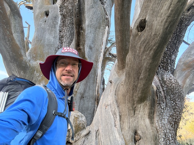
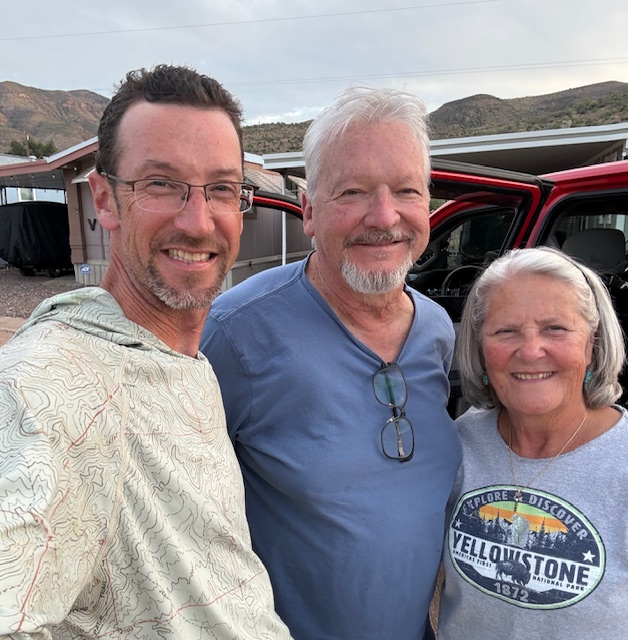
This journey has exceeded my expectations as my first “long trail.” I have seen amazing wildlife and scenery. I met some interesting people. I had days where I did not see another person. It has been introspective and healing. I have walked further and faster than I imagined possible. I’m thankful that past thru-hikers have made this a socially acceptable (even laudable) activity. Mostly, it’s just really fun and feels like an accomplishment to walk between two arbitrary borderlines. I could not have done it without my parents and friends driving all across the state to resupply me. I cannot say thank you enough!

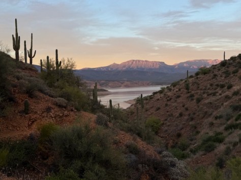
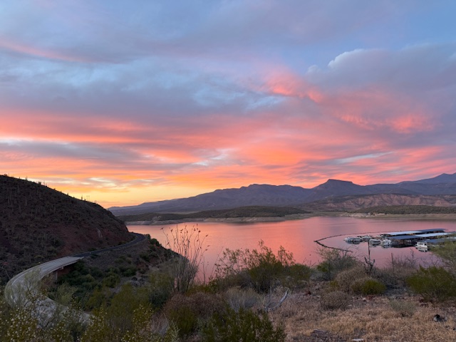
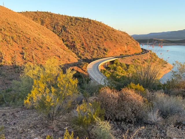
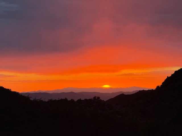
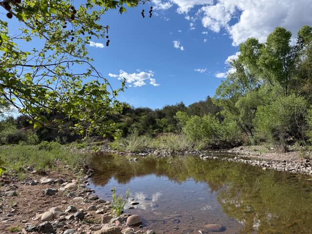
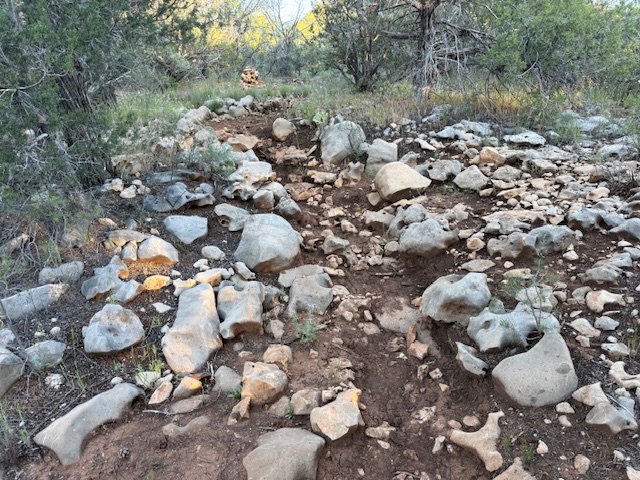
Arizona Trail Day 26, Mile 265 to 291 plus 2 when I took a wrong turn from the Gila River where I took an afternoon dip. So many grasshoppers! Tried out a sun umbrella then didn’t need it when clouds rolled in for an awesome sunset hour. This was my restart point after avoiding desert heat for two weeks.

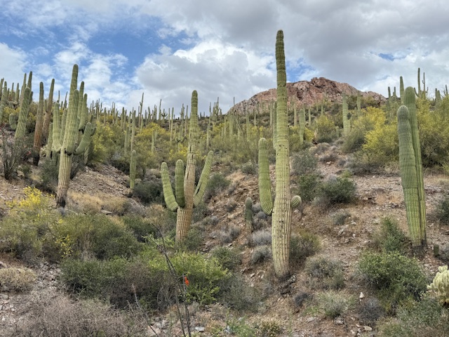
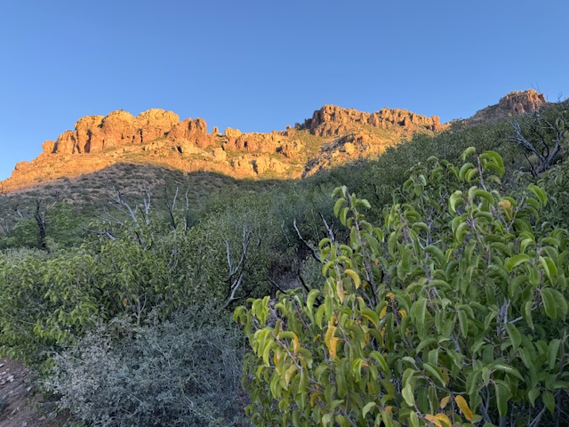
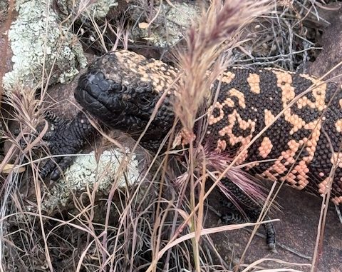
Arizona Trail Day 27, Mile 291 to 321 across Highway 60 climbing steeply into the Superstition Wilderness. Started at 5 a.m. when it was sprinkling and my sun umbrella worked well for rain. Saw my first ever Gila monster, which was amazing.

Arizona Trail Day 28, Mile 321 to 347 down from Reavis Ranch in Tonto National Forest to Roosevelt Lake. It was nice to hike a while with Michelle and Adam from Seattle. I saw my second ever Gila monster, which was also amazing! Big thanks to my parents who drove down from Pine to resupply me before sunset.

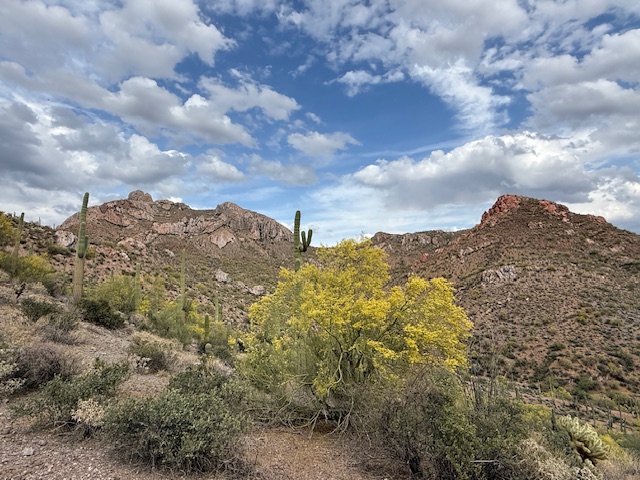
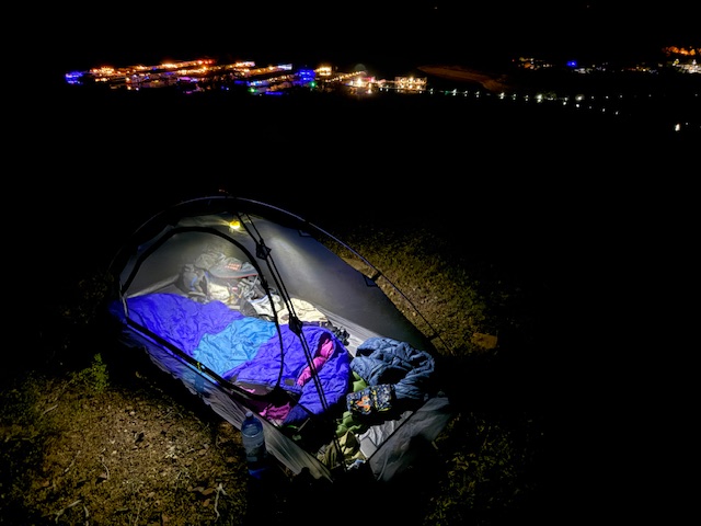
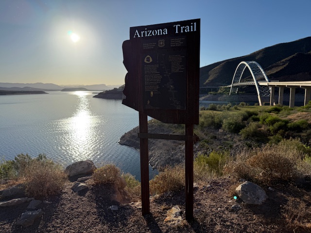
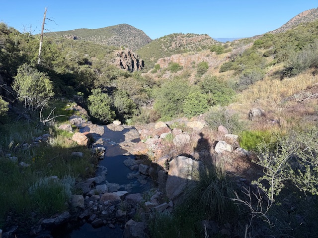
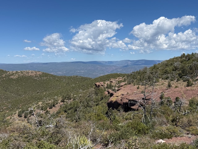
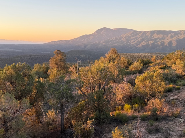
Arizona Trail Day 29, Mile 347 to 366 across Roosevelt Lake Bridge up into the Four Peaks Wilderness. Shake Spring was flowing nicely this afternoon so I decided to camp nearby and cut my day short to enjoy the shade.

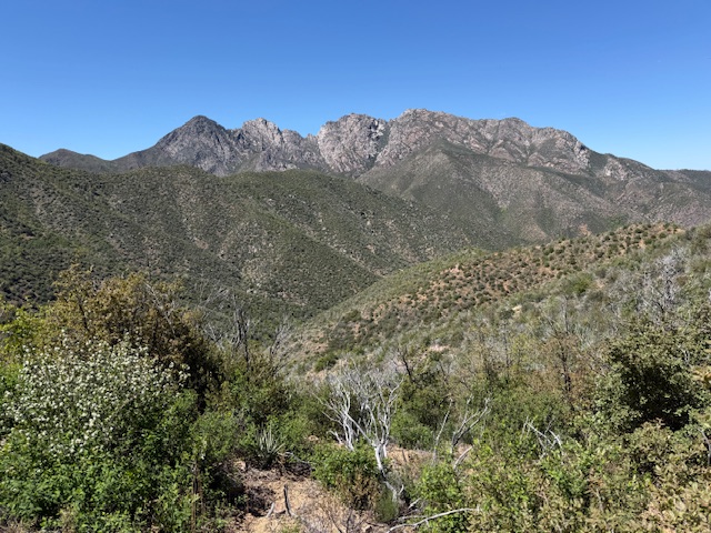
Arizona Trail Day 30, Mile 366 to 387 down the mountain from Four Peaks Wilderness to the Beeline Highway 87. At some point Saturday I surpassed 600 miles on the 800-mile Arizona National Scenic Trail! My parents brought me a milkshake down from Payson, which tasted amazing.

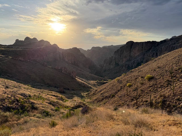
Arizona Trail Day 32, Mile 387 to 417 into the Mazatzal Wilderness after a zero day to spend Easter with family in Chandler. Cloudy and drizzly weather helped me stay cool and I didn’t have to drink much. Cumulative 6,500-foot ascent and 4,000-foot descent over the 30 miles! Great sunset over Horseshoe Lake.

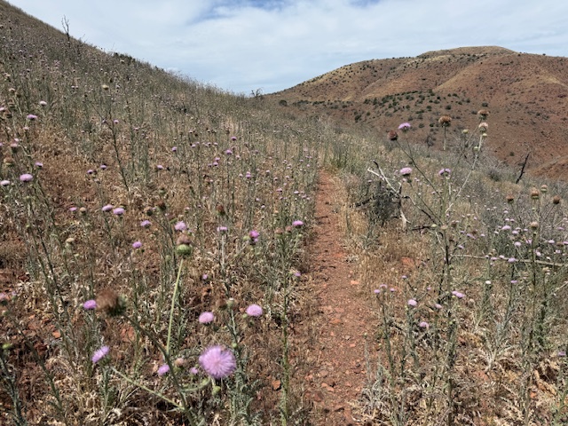
Arizona Trail Day 33, Mile 417 to 442 out of the Mazatzal Mountains down to the East Verde River where I took an afternoon swim. I met a lot of friendly people backpacking today, including one volunteer doing trail maintenance who provided trail magic in the form of a delicious cheese stick.

Arizona Trail Day 34, Mile 442 to 459 back home to Pine. I have now completed the southernmost 713 miles of the AZT since March 4. I plan to finish the final 100 miles when North Kaibab Trail through Grand Canyon National Park opens after May 15. I could not have done this without the help of my parents and friends along the way. Thank you so much!

I have also been updating my Instagram account daily with photos: https://www.instagram.com/ravenabouttheparks/

Mendocino National Forest

Mendocino National Forest

California

Managed by U.S. Forest Service, Pacific Southwest Region

1,079,850 acres (911,733 federal/ 168,117 other)

Website: https://www.fs.usda.gov/r05/mendocino

Overview

Originally called California National Forest in 1908, this area between Interstate 5 and Highway 101 was renamed Mendocino National Forest 24 years later.  It stretches north-south along the Coast Range covering parts of six counties north of San Francisco.  Similar to Los Padres National Forest, it contains rocky serpentine ridgelines where only specially adapted plants can tolerate the heavy metals in the soil, like Sargent cypress and the shorter McNab cypress.  Both species can be found along Frenzel Creek near Little Stoney Campground.  In 1953, a Forest Service employee and 14 volunteer firefighters died in the Rattlesnake Fire and a memorial overlooking Rattlesnake Canyon is located off Forest Highway 7 on Alder Springs Road.  Mendocino National Forest includes the northern portion of Berryessa Snow Mountain National Monument (see our full blog post), established in 2015 and administered in cooperation with the Bureau of Land Management.

Know someone who loves the National Forests? Gift them our travel guidebook Out in the Woods so they can learn more about all 155 National Forests.

Highlights

Berryessa Snow Mountain National Monument, Lake Pillsbury, Thomes Gorge, Hull Mountain, Frenzel Creek, Harvey Peak, Ide’s Cove Trail

Must-Do Activity

There are 18 National Forests in California (the most of any state), but Mendocino is the only one not crossed by a paved highway.  It is a wonderful destination for outdoor recreation, both motorized and non-motorized, including Hull Mountain which is popular with hang gliders.  Lake Pillsbury is 2,280 acres and offers boat ramps, campgrounds, and a resort, while 35-acre Letts Lake has a campground and access to hiking trails.

Best Trail

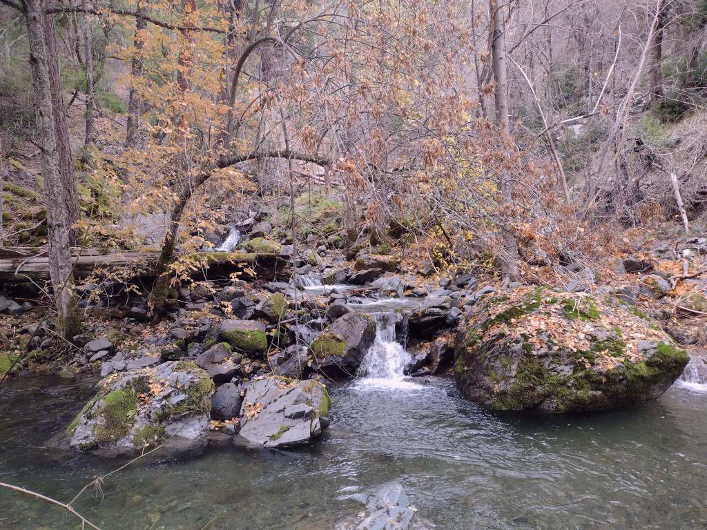
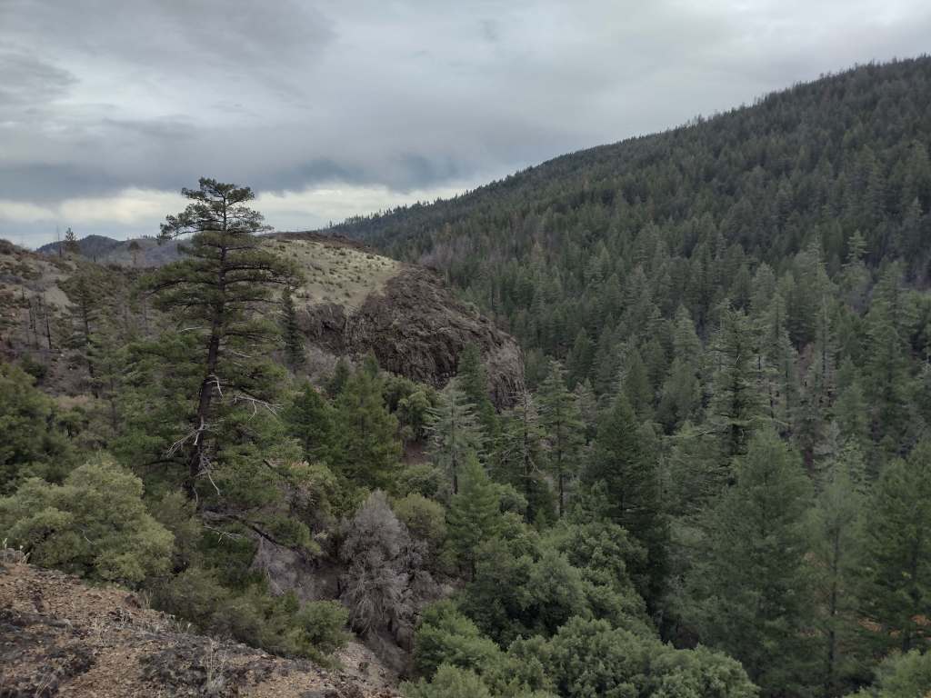
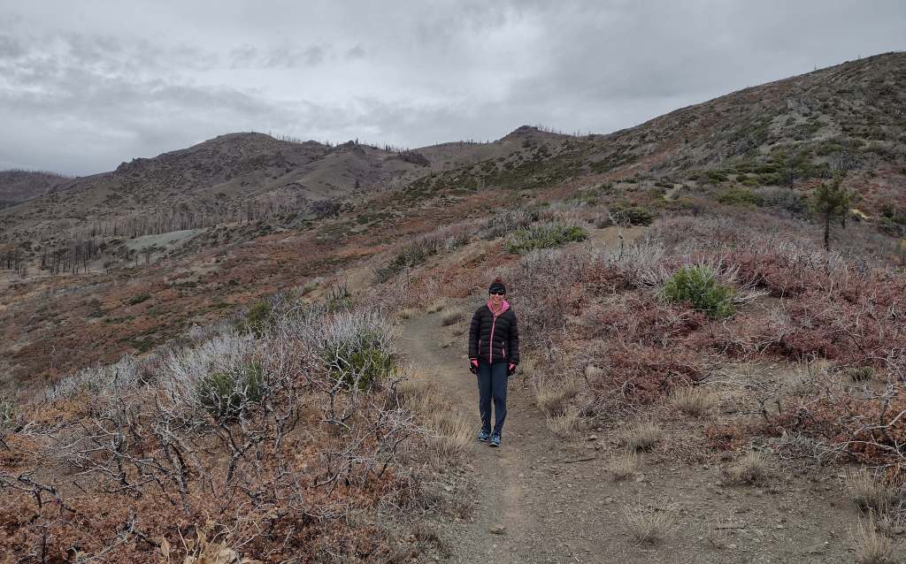
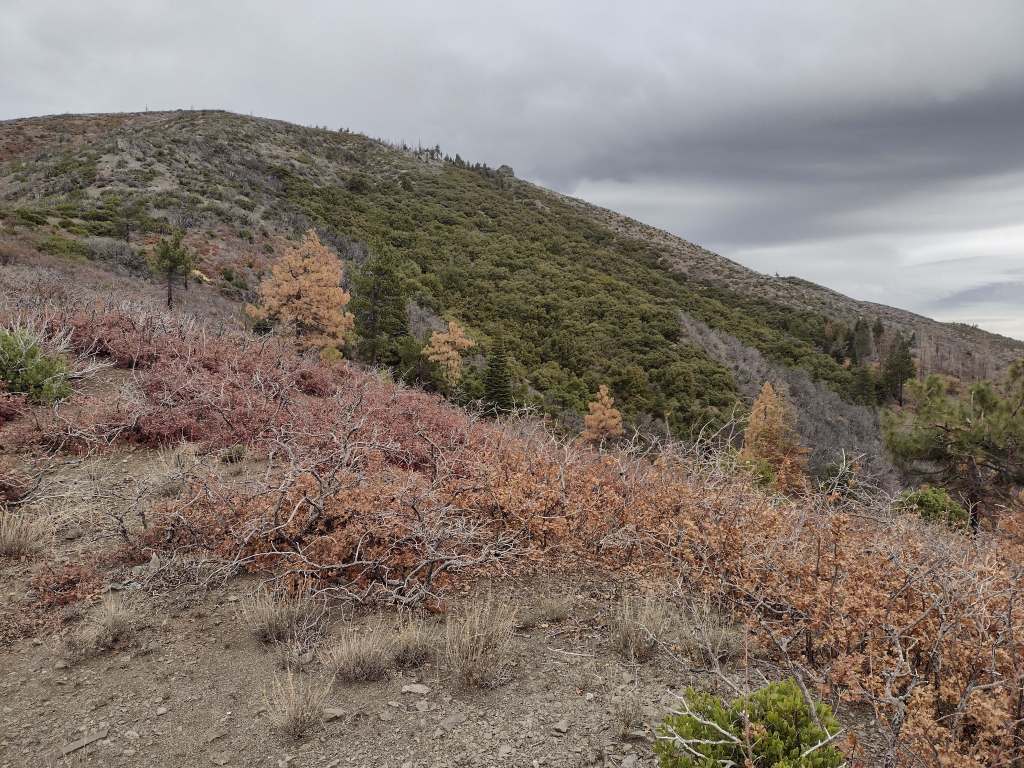
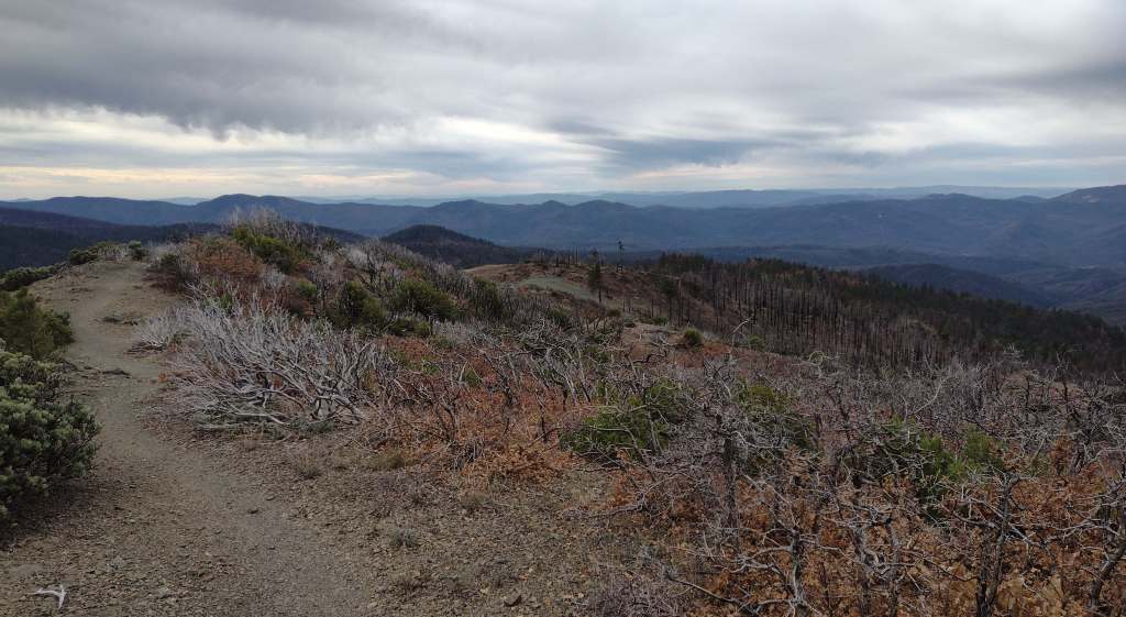
As we drove the winding road from Stonyford to the tiny roadside pullout for Deafy Glade Trail, we passed campgrounds full of RVs that were getting ready for a motorcycle event.  Our hike took us far from any road noise, as we dropped down to and waded across the frigid South Fork of Stony Creek and then climbed steeply to 5,300 feet in elevation.  The trail continued to the summit of 7,056-foot Snow Mountain, but we already had great views of the Rice Valley and decided to turn around at the 4.5-mile point, just inside the official boundary of the Snow Mountain Wilderness.  We expected a desolate landscape after reading about recent fires, but about three-quarters of the trees along the trail were still alive and showed only minor charring at their bases.

Watchable Wildlife

Mendocino National Forest protects a biodiverse area home to tule elk, black-tailed deer, river otters, black bears, and mountain lions.  Rivers that drain these highlands are used by California coastal chinook salmon and Northern California steelhead.  Fishing in the lakes is a popular activity and a chance to see ospreys and bald eagles.

Photographic Opportunity

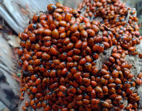
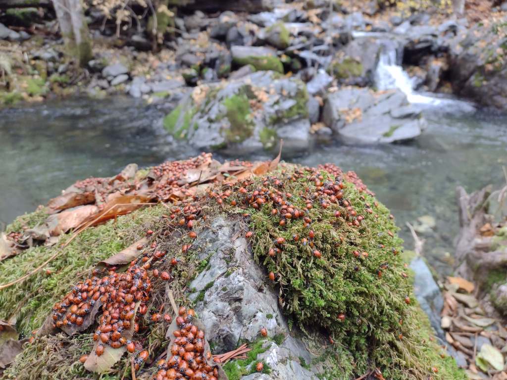
On Deafy Glade Trail, there were congregations of lady bugs that numbered in the hundreds along the South Fork of Stony Creek.

Peak Season

Summer

Fees

None

Road Conditions

Fouts Springs Road (Forest Road M10) is a well-maintained gravel road that crosses the National Forest west of Stonyford.  That area is popular with motorcycles and OHVs, so keep an eye out for them while driving. 

Camping

Mendocino National Forest manages Bear Creek Campground and Lower Nye Dispersed Campground among many others, plus there are countless places for dispersed camping. 

Wilderness Areas

Sanhedrin Wilderness

Snow Mountain Wilderness

Yolla Bolly-Middle Eel Wilderness (also in Six Rivers and Trinity National Forests)

Yuki Wilderness (also run by the Bureau of Land Management)

Related Sites

Berryessa Snow Mountain National Monument (California)

Lassen National Forest (California)

Point Reyes National Seashore (California)

Nearest National Park
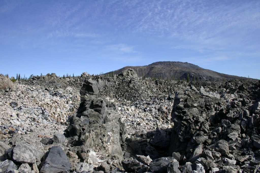
Redwood

Conifer Tree Species

Douglas-fir, red fir, white fir, ponderosa pine, sugar pine, gray pine, Sargent cypress, McNab cypress

Flowering Tree Species

western redbud, interior live oak, tanoak, Pacific madrone

Explore More – In 1542, Cape Mendocino was named by explorer Roderiques de Cabrillo to honor whom?

Learn more about this and the 154 other National Forests in our travel guidebook Out in the Woods

Medicine Bow National Forest

Medicine Bow National Forest

Wyoming

Managed by U.S. Forest Service, Rocky Mountain Region

1,403,892 acres (1,096,885 federal/ 307,007 other)

Website: https://www.fs.usda.gov/r02/mbrtb

Overview

Medicine Bow National Forest is spread across three separate units in southern Wyoming and another located to the north between the cities of Laramie and Casper.  Within the latter unit is 10,272-foot Laramie Peak, a major landmark along the historic Oregon Trail.  Snowy Range Scenic Byway (Highway 130) provides access in the summer to the high-elevation recreational opportunities found in the mountains.  In 1995, Medicine Bow National Forest was administratively combined with Routt National Forest and Thunder Basin National Grassland.

Know someone who loves the National Forests? Gift them our travel guidebook Out in the Woods so they can learn more about this and the 154 other National Forests.

Highlights

Snowy Range Scenic Byway, Brooklyn Lake Campground, Medicine Bow Peak, Lake Marie, Sierra Madres, Aspen Alley, Hog Park Reservoir, Happy Jack Recreation Area, Vedauwoo, Laramie Peak Trail, Continental Divide National Scenic Trail

Must-Do Activity

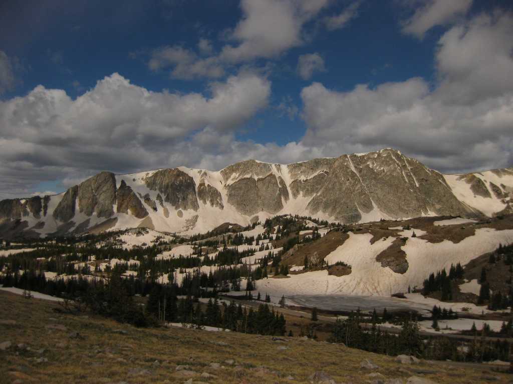
Medicine Bow Peak stands at 12,013 feet within the Snowy Range near the Wyoming-Colorado border and has two steep, rocky trails to its summit which can be combined into a long loop.  The 29-mile-long Snowy Range Scenic Byway cuts across this rugged landscape and is a great place for summer camping, fishing, hiking, horseback riding, mountain biking, and backpacking.  The road closes in the winter, but is still a destination for snowmobiling, downhill skiing, cross-country skiing, and snowshoeing.  Medicine Bow gets its name from annual tribal gatherings when ceremonies were held and mountain mahogany was gathered for bow making.

Best Trail

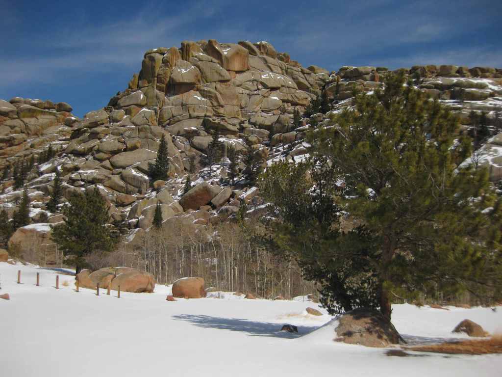
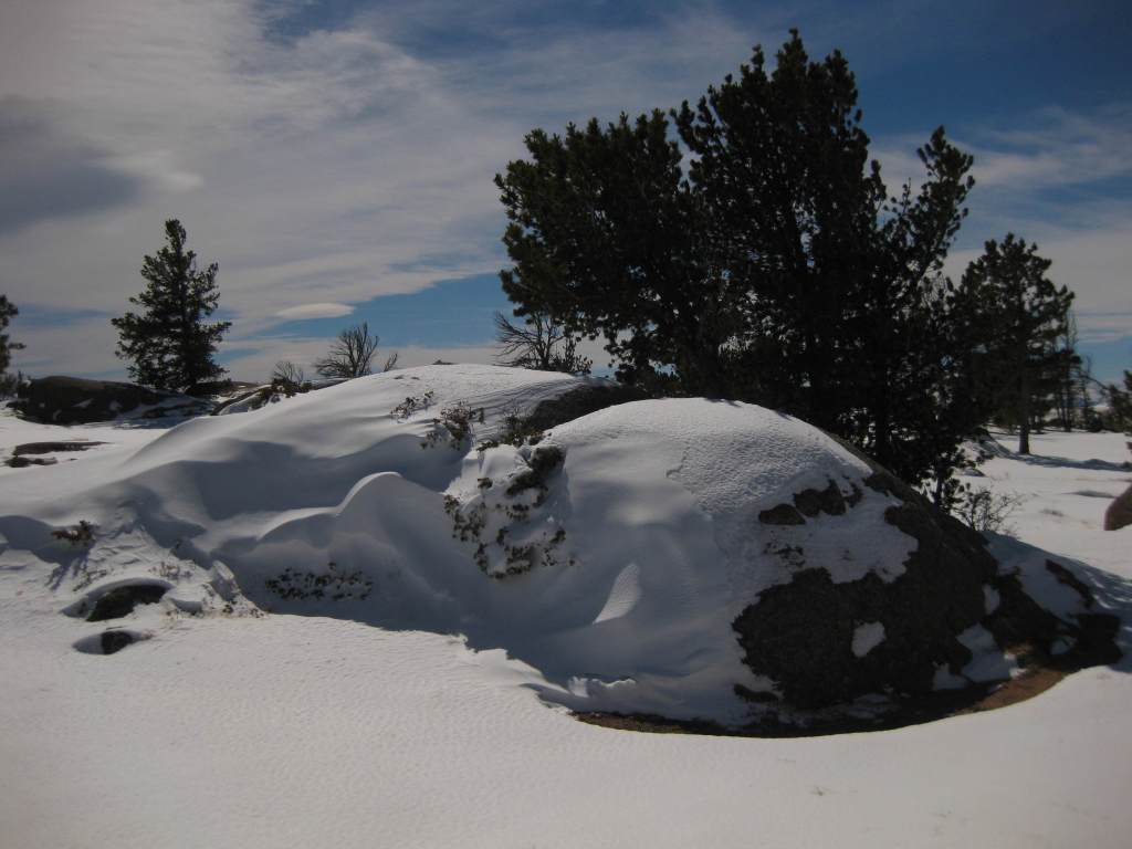
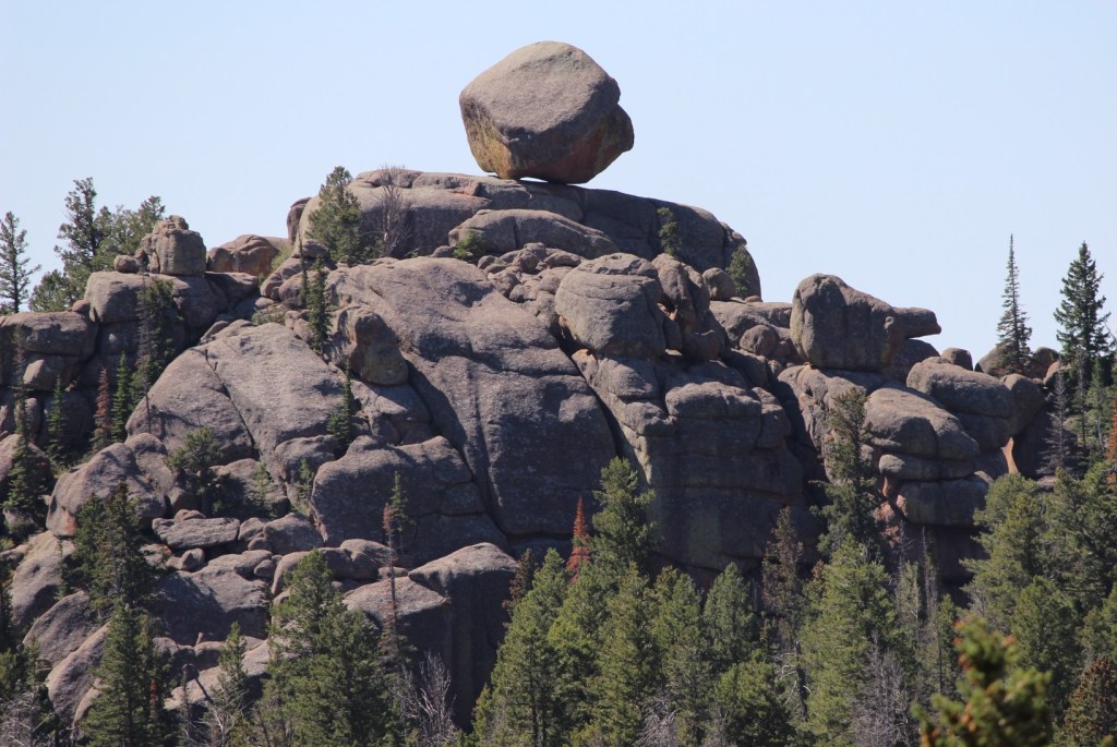
Vedauwoo Recreation Area is visible from Interstate 80 between Laramie and Cheyenne, but feels worlds apart.  Its maze of boulders is a fun place to visit in the winter or summer (when the campground is open).  The 3.2-mile Turtle Rock Trail circles the area, but it is more fun to climb around off trail.  Near the end of winter, snow drifts pile six-feet-high next to ground swept bare.  In the glens protected by the 200-foot-tall rock outcrops, snowflakes cling to the bare branches of aspen and maple trees, and stick in the needles of junipers, Douglas-firs, and ponderosa pines.  Vedauwoo is an Arapaho word meaning “earthborn,” also the name of a nature spirit character in summer theater performances held here in the 1920s by the University of Wyoming.  This forest was once depleted for telegraph poles and railroad ties before the Civilian Conservation Corps (CCC) planted 280,000 trees in the 1930s.  It was used for over 50 years of military target practice, significant because there are unexploded munitions still in the ground.  Vedauwoo is located near the Happy Jack Recreation Area, which at 8,640 feet is the highest point along Interstate 80 between San Francisco and New York City.  This cross-country road was originally called the Lincoln Highway, hence the giant sculpture of Abraham Lincoln’s head at the nearby rest area. 

Watchable Wildlife

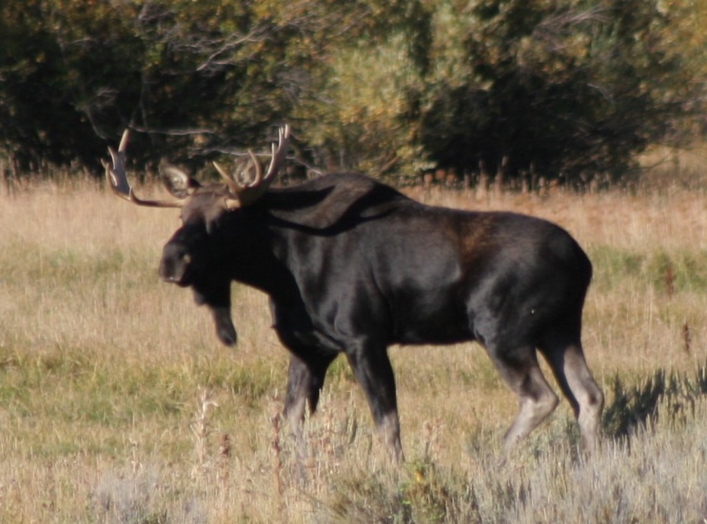
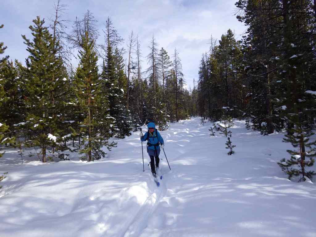
After a cold day on the National Forest’s cross-country ski trails at Brush Creek (built in the 1930s by the Civilian Conservation Corps) or Chimney Park, we always made it a point to stop in Saratoga where hot springs water is piped into the free outdoor Hobo Pool adjacent to the North Platte River.  This area is a favored wintering ground for bald and golden eagles, so you may witness a flyover during your soak.  Also watch for mule deer in town and a variety of waterfowl along the river.  Moose, elk, and pronghorn (at lower elevations) are found in the National Forest.  Black bears, mountain lions, coyotes, and red foxes reside here, too.  Trout fishing in lakes and streams is a major draw to the mountains. 

Photographic Opportunity

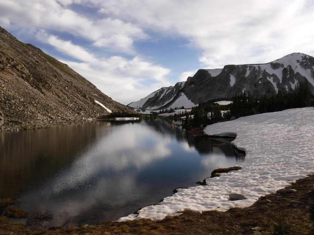
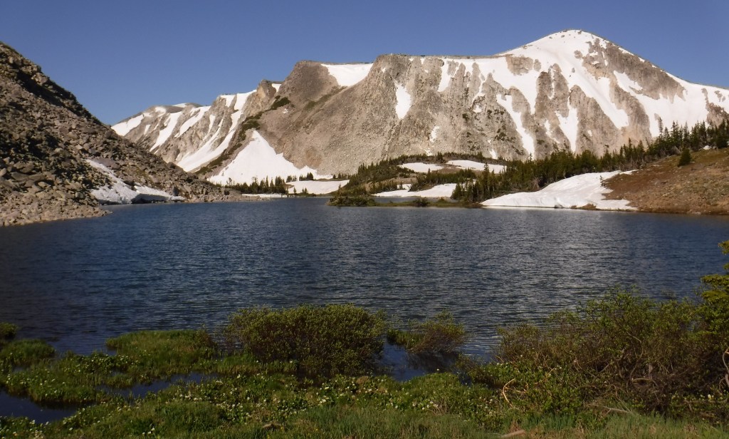
Lake Marie along the Snowy Range Scenic Byway is one of the most widely used photographs for tourism publications in this corner of Wyoming.

Peak Season

Summer

Fees

Day use fees of $5 per vehicle (or America the Beautiful pass) apply at Vedauwoo, Tie City Trailhead, Happy Jack Trailhead, and the western terminus of Headquarters National Recreation Trail, as well as Sugarloaf and West Lake Marie Trailhead along Snowy Range Scenic Byway.

Road Conditions

The gravel Vedauwoo Road (closed in spring) is good enough for RVs, as are some of the side roads off paved Snowy Range Scenic Byway (closed in winter).  Beware the rutted Forest Road 336 near Libby Flats and some other four-wheel-drive-only routes.  Several roads become snowmobile routes in the winter, including most of Snowy Range Scenic Byway west of the ski resort.

Camping

In addition to a large designated campground at the Vedauwoo exit off Interstate 80, Vedauwoo Road has designated free campsites marked by a post and offer dispersed camping along other surrounding roads.  Brooklyn Lake is one of several designated campgrounds along the Snowy Range Scenic Byway where dispersed campsites are harder to find.  Between Casper and Cheyenne, Laramie Peak dominates the prairie landscape and if you hike to its summit you can overlook hundreds of miles of the historic Oregon Trail.  Although much of this section of forest has been affected by wildfires, there is still plenty of natural beauty and out of the way places to pitch a tent along its labyrinthine road system. 

Wilderness Areas

Encampment River Wilderness

Huston Park Wilderness

Platte River Wilderness (also in Routt National Forest)

Savage Run Wilderness

Related Sites

Fort Laramie National Historic Site (Wyoming)

Thunder Basin National Grassland (Wyoming)

Scotts Bluff National Monument (Nebraska)

Nearest National Park
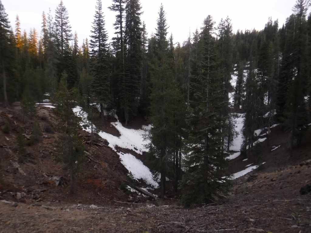
Rocky Mountain

Conifer Tree Species

Engelmann spruce, Douglas-fir, subalpine fir, lodgepole pine, limber pine, ponderosa pine, Rocky Mountain juniper

Flowering Tree Species

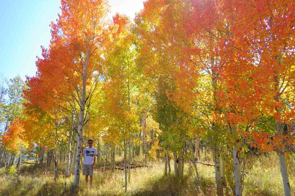
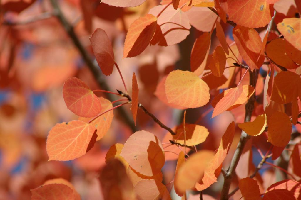
quaking aspen, eastern cottonwood, balsam poplar, Rocky Mountain maple, curlleaf mountain mahogany, sagebrush               

Explore More – Near Vedauwoo, a 60-foot-tall granite pyramid was built in 1882 to honor whom?

Know someone who loves the National Forests? Gift them our travel guidebook Out in the Woods so they can learn more about this and the 154 other National Forests.

Manti National Forest

Manti National Forest

Utah

Managed by U.S. Forest Service, Intermountain Region

735,358 acres

Website: https://www.fs.usda.gov/r04/manti-lasal

Overview

Manti Forest Reserve dates back to 1903, becoming a National Forest four years later and expanded in 1915 with the addition of Nebo National Forest.  Despite being separated by more than 100 miles, Manti and La Sal National Forests were combined in 1949, an early example of improved bureaucratic efficiency by the Forest Service.  Due to this longstanding association, it can be difficult to find information for the more northerly Manti National Forest alone.  Manti National Forest covers much of the Wasatch Plateau and also manages the busy Maple Canyon Trail system (technically in Uinta National Forest).

Know someone who loves the National Forests? Gift them our travel guidebook Out in the Woods so they can learn more about this and the 154 other National Forests.

Highlights

Energy Loop, Skyline, Eccles Canyon, Drive Scenic Backway, Stuart Guard Station National Historic Site, Electric Lake, Nelson Mountain, Maple Canyon, Fish Creek National Recreation Trail, Left Fork of Huntington Creek National Recreation Trail

Must-Do Activity

Many visitors to Manti National Forest drive the Energy Loop, named for Utah’s coal country, which partially follows the paved Huntington and Eccles Canyons Scenic Byway.  Campgrounds, historic sites, reservoirs, trails, and trout streams are all accessible along the 86-mile drive.  The more adventurous can take on the unpaved Skyline Drive Scenic Backway that climbs the Wasatch Plateau.  This 58-mile route has many side roads popular with ATV and OHV drivers, and it is open to snowmobiles in the winter. 

Best Trail

Easily accessible from the Energy Loop drive, the six-mile long Left Fork of Huntington Creek National Recreation Trail follows the canyon gaining 847 feet in elevation.  It can be completed one-way downhill from Miller Flat Trailhead by leaving a vehicle at Forks of Huntington Campground.  Despite a wildfire on the south canyon wall and subsequent erosion, the creek remains a good fishing spot, especially the lower half-mile that has interpretive signs on hydrology for children.  The trail can also be joined with Horse Canyon, Scad Valley, and Mill Canyon Trails to form longer loops, but a vehicle shuttle would still be necessary to avoid walking the highway.  Nearby, Fish Creek National Recreation Trail is ten miles long and open to travel by foot, horse, and bicycle.

Watchable Wildlife

The Wasatch Plateau rises from 5,000 to over 10,000 feet in elevation, and its vertical escarpments and subalpine lakes support a diversity of habitats.  Huntington Creek is one of the premiere fly-fishing streams in Utah.  Joe’s Valley is a 1,200-acre reservoir that offers fishing for splake, and allows motor boats (as does Electric Lake).  Large mammals found here include black bears, mountain lions, bobcats, coyotes, elk, mule deer, and pronghorns.  Birds of Manti National Forest include bald eagles, golden eagles, northern goshawks, turkey vultures, wild turkeys, common ravens, and various species of owls and woodpeckers. 

Photographic Opportunity

Fremont cottonwood trees are named for explorer John C. Fremont and this riparian species is an indicator of permanent subsurface water, with trunks that can reach more than four feet in diameter.

Peak Season

Spring and fall

Fees

None

Road Conditions

The Huntington and Eccles Canyons Scenic Byway is paved, but the Skyline Drive Scenic Backway is not.  Check the Forest Service website for updates on road conditions and closures. 

Camping

There are several designated campgrounds along Huntington and Eccles Canyons Scenic Byway, plus dispersed camping is allowed along most of the unpaved roads.  Maple Canyon Campground is a popular destination with online reservations available May through October.

Wilderness Areas

None

Related Sites

Fishlake National Forest (Utah)

La Sal National Forest (Utah)

Timpanogos Cave National Monument (Utah)

Nearest National Park
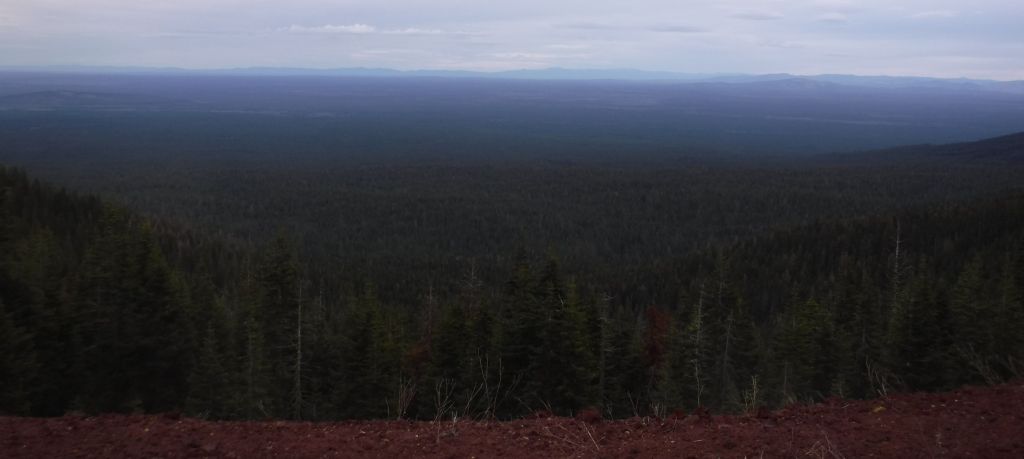
Capitol Reef

Conifer Tree Species

subalpine fir, white fir, Engelmann spruce, Douglas-fir, ponderosa pine, limber pine, Rocky Mountain juniper

Flowering Tree Species

Fremont cottonwood, quaking aspen, manzanita, sagebrush

Explore More – In 1849, Brigham Young sent 225 settlers to the San Pitch (now Sanpete) Valley; where did they get the name Manti?

Know someone who loves the National Forests? Gift them our travel guidebook Out in the Woods so they can learn more about this and the 154 other National Forests.

Malheur National Forest

Malheur National Forest

Oregon

Managed by U.S. Forest Service, Pacific Northwest Region

1,541,723 (1,465,287 federal/ 76,436 other)

Website: https://www.fs.usda.gov/r06/malheur

Overview

In central Oregon, Malheur National Forest encompasses the Strawberry Range and Aldrich Mountains that run into the Blue Mountains.  Much of its area is high desert, with grasslands, sagebrush, and juniper the predominant vegetation.  Malheur National Forest contains the “Humongous Fungus,” a honey fungus (Armillaria solidipes) that spans 2,200 acres and is considered the largest known organism by area in the world.  It is located mostly underground, high on a ridgeline immediately west of Clear Creek (44.4731°N 118.4816°W).

Know someone who loves the National Forests? Gift them our travel guidebook Out in the Woods so they can learn more about this and the 154 other National Forests.

Highlights

Journey Through Time Scenic Byway, Cedar Grove Botanical Area, Yellowjacket Reservoir, Indian Rock-Vinegar Hill Scenic Area, Swick Old Growth Interpretive Site, Rosebud Creek, Arch Rock, Magone Lake, Tamarack Creek Trail, McClellan Mountain Trail

Must-Do Activity

The northeast corner of the National Forest includes the 4,000-acre Indian Rock-Vinegar Hill Scenic Area with its beautiful alpine meadows that bloom high in the Greenhorn Mountains.  For geology enthusiasts, Arch Rock is an easy hike to a 15-foot opening in soft ashflow tuff, Tex Creek has a natural bridge, and fossilized shells are found around Rosebud Creek.

Best Trail

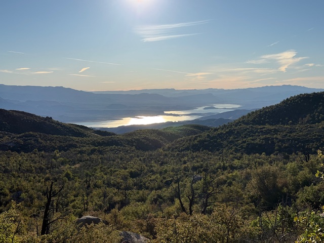
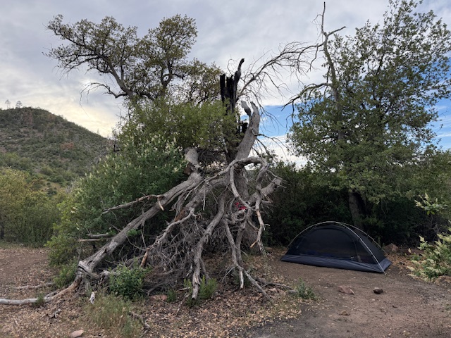
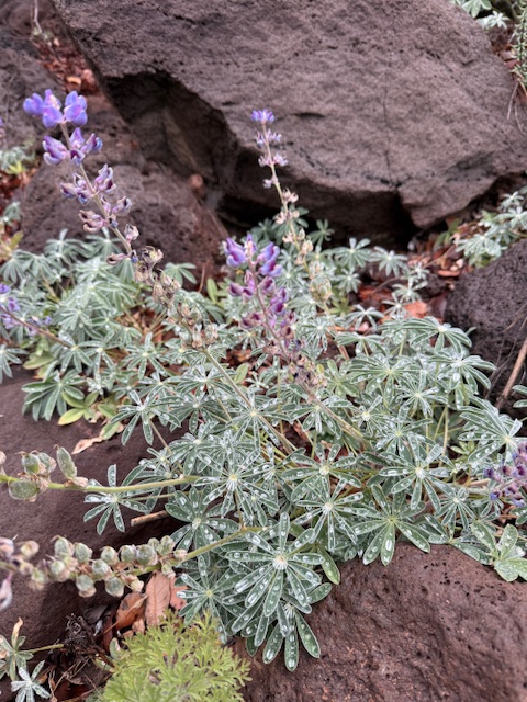
In the Aldrich Mountains, Cedar Grove Botanical Area preserves the only stand of yellow-cedars found east of the Cascade Range.  Some of these trees are more than 300 years old, hanging on for life along Buck Cabin Creek where a fire recently burned more than half of the 60-acre stand.  Access is by a National Recreation Trail, which drops precipitously into the grove, making for a strenuous hike out.  The trail is lined with plant identification placards and was pocked with deer hoofprints when we visited.  The trailhead is well-marked, located 5.5 miles down a dirt road after climbing ten miles on paved Forest Road 21 south of Highway 26.  Check conditions before departing, as some roads may be closed within the Rail Ridge Fire area.
Watchable Wildlife

Elevations in Malheur National Forest range from 4,000 feet up to the top of 9,038-foot Strawberry Mountain.  Elk, pronghorn, and mule deer are large ungulates found here.  Carnivorous mammals include black bears, coyotes, mountain lions, and bobcats that roam the high desert environment.  Large birds frequently seen are bald eagles, Canada geese, mallards, and whistling swans.  Streams and lakes found throughout the National Forest support a variety of gamefish, including trout.  To the south, Malheur National Wildlife Refuge encompasses 185,000 acres of marshes, meadows, and man-made ponds that provide habitat crucial for bird nesting and migration. 
Photographic Opportunity

I did my M.S. research project on yellow-cedar (Callitropsis nootkatensis), so I had to visit Cedar Grove Botanical Area.  The trees are a popular ornamental species best known for their drooping branches and shallow root systems that allow them to survive in extremely wet soils.  Found from sea level up to 7,000 feet, they regularly live more than 1,000 years, growing slowly with chemicals compounds that prevent wood rot.

Peak Season

Summer

Fees

None

Road Conditions

Highway 395 runs north-south through the National Forest, while Highway 26 runs east-west.  The dirt roads we drove to access Cedar Grove Botanical Area were in good condition, although dry and dusty at the end of the summer.

Camping

There are numerous campgrounds in Malheur National Forest; none take reservations and some have fees that apply from May through October.  Some campgrounds are free, like Cane Crossing, Crescent, and Elk Creek, and dispersed camping is also allowed.

Wilderness Areas

Monument Rock Wilderness (also in Whitman National Forest)

Strawberry Mountain Wilderness

Related Sites

John Day Fossil Beds National Monument (Oregon)

Newberry National Volcanic Monument (Oregon)

Fremont National Forest (Oregon)

Nearest National Park

Crater Lake

Conifer Tree Species

ponderosa pine, Douglas-fir, grand fir, white fir, yellow-cedar, western juniper

Flowering Tree Species

curlleaf mountain mahogany, sagebrush

Explore More – The Malheur River is named for the French word for “misfortune;” why was it given that name?

Know someone who loves the National Forests? Gift them our travel guidebook Out in the Woods so they can learn more about this and the 154 other National Forests.