Tag Archives: mountains

Apache National Forest

Apache National Forest

Arizona, New Mexico

Managed by U.S. Forest Service, Southwestern Region

1,876,891 acres (1,813,601 federal/ 63,290 other)

Website: https://www.fs.usda.gov/main/asnf/home

Overview

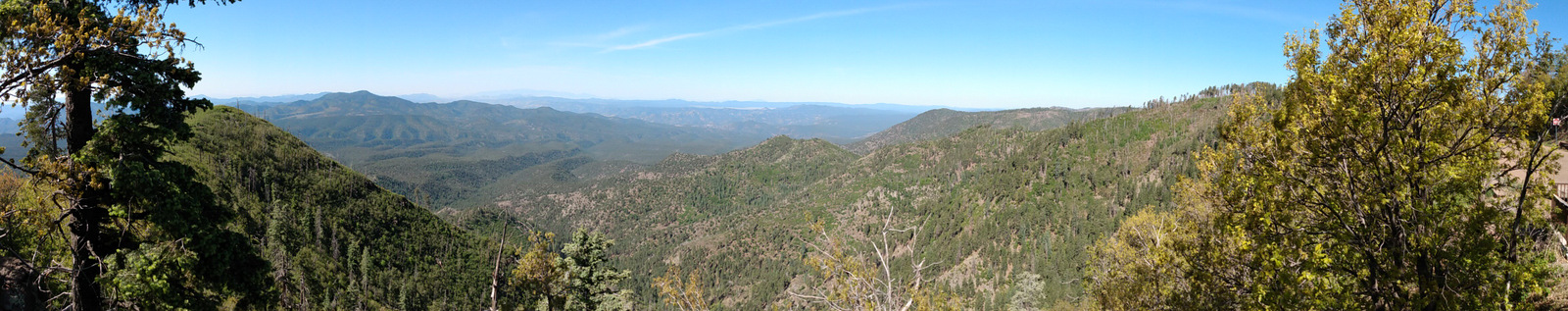
Growing up in Arizona, we only ever heard this referred to as Apache-Sitgreaves National Forest since it was merged in 1974.  The more eastern Apache National Forest section represents about 69% of the combined forests total acreage and partly spills into New Mexico.  On its west side it borders the Fort Apache and the San Carlos Indian Reservations, only containing one side of Mt. Baldy (which is famous for its ski resort).  The National Forest contains the eastern portions of the White Mountains and Mogollon Rim, a forested escarpment that cuts 200 miles across much of the state of Arizona.

Highlights

Coronado Trail Scenic Byway, Mt. Baldy, Butler Canyon, Escudilla National Recreation Trail, Hannagan Meadow, Chitty Canyon, Big Tree Trail, Eagle National Recreation Trail

Must-Do Activity

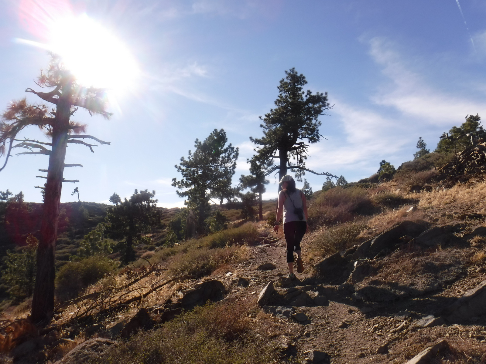
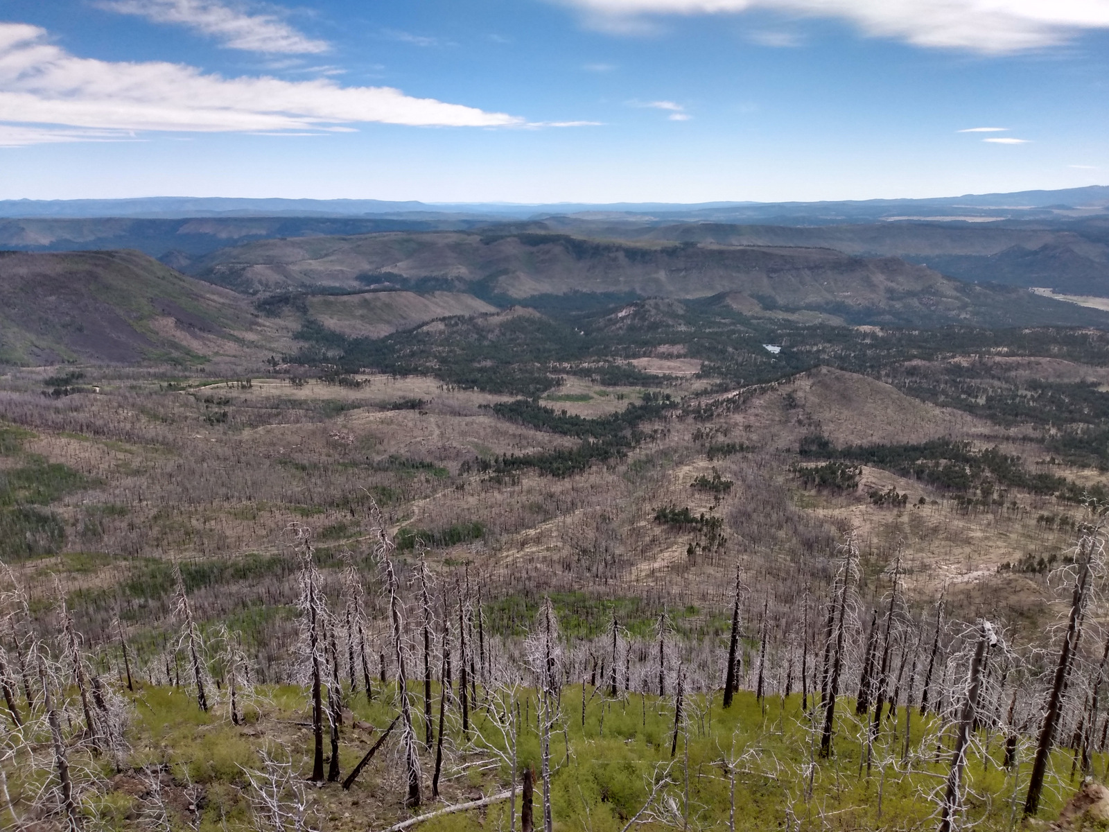
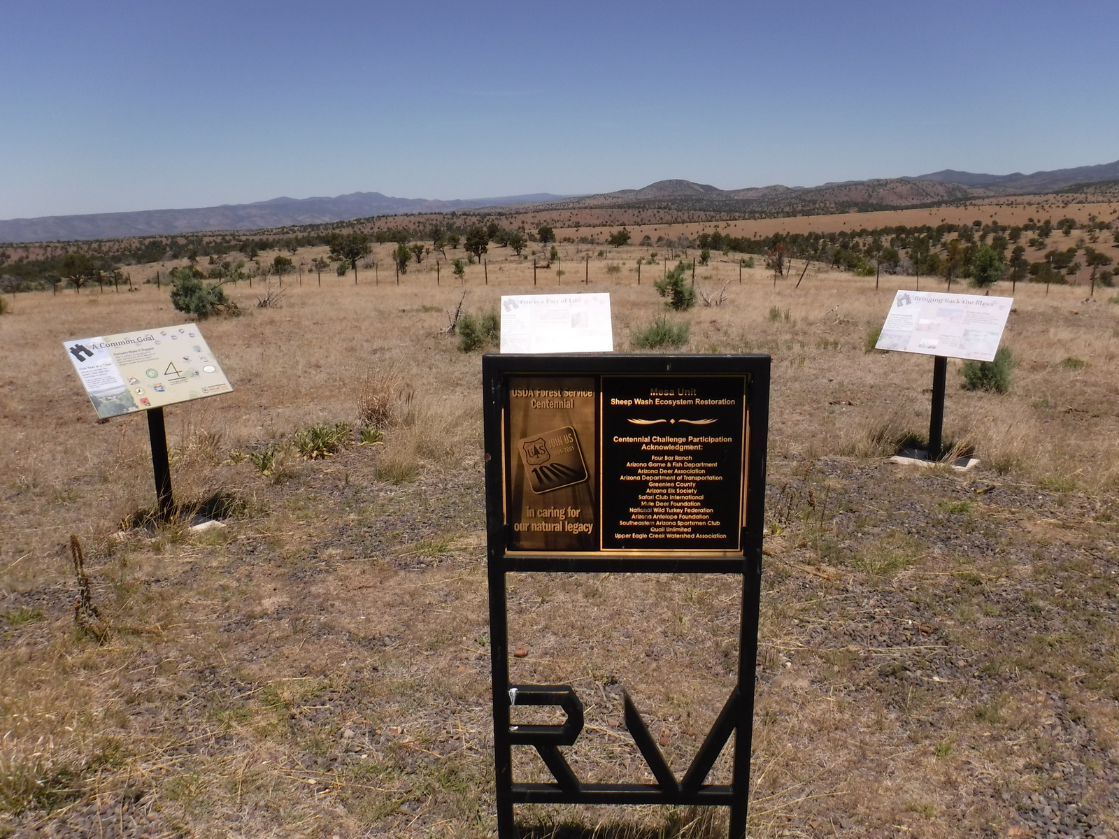
The Coronado Trail Scenic Byway (Highway 191) is a narrow, winding paved road that runs 120 miles north-south through Apache National Forest and is the best way to explore.  Near the northern end of the highway, a steep unpaved road leads east up to the trailhead for Escudilla National Recreation Trail.  A fire burned the 10,912-foot mountain that the trail summits and on our hike in May 2020 we counted 75 downed trees that we had to step over, both on the three miles in and the three miles out.  To the east, the remote Blue Range Primitive Area was created in 1933, but has yet to receive Wilderness designation.  About 18 miles south of Alpine make a stop at the historic Hannagan Meadow lodge, the only place to get gas along the route (or air if like us you have to put on your spare tire).  The highway continues south dropping down from the Mogollon Rim into a more desert-like environment.

Best Trail

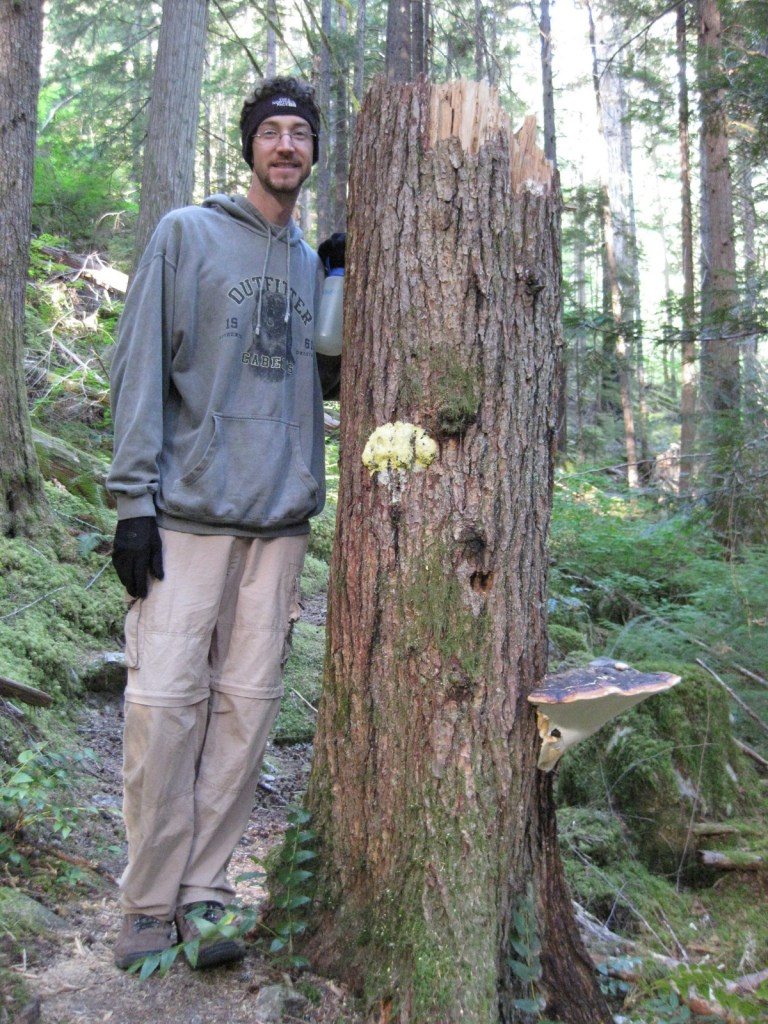
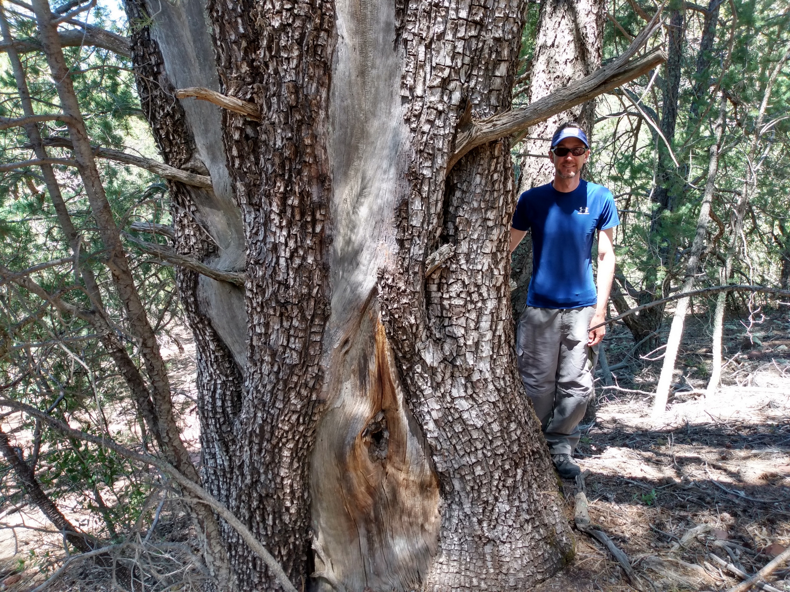
A short, but worthwhile hike descends west from Sardine Saddle near the southern end of the Coronado Trail Scenic Byway.  At the end of the 0.4-mile trail is the largest Arizona cypress tree growing in the United States (97 feet tall with a 181-inch trunk circumference).  There are also some big alligator juniper trees growing near the bottom of the canyon, and if you see their bark you will realize why they got their name.

Watchable Wildlife

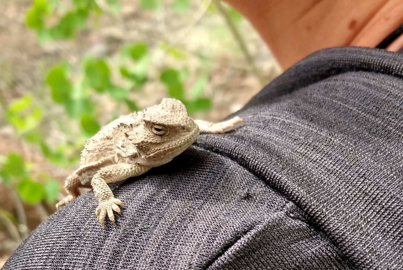
We were excited to find horned lizards (a.k.a. frogs or toads) along the Escudilla National Recreation Trail.  The cliffs of the Mogollon Rim provide good thermal updrafts so are a good place to looks for turkey vultures and a variety of raptors.  The ranges of mule deer and Coues whitetail deer overlap in this part of the country.  We saw turkeys on the road back to Rose Spring Trail (Forest Road 54).

Instagram-worthy Photo

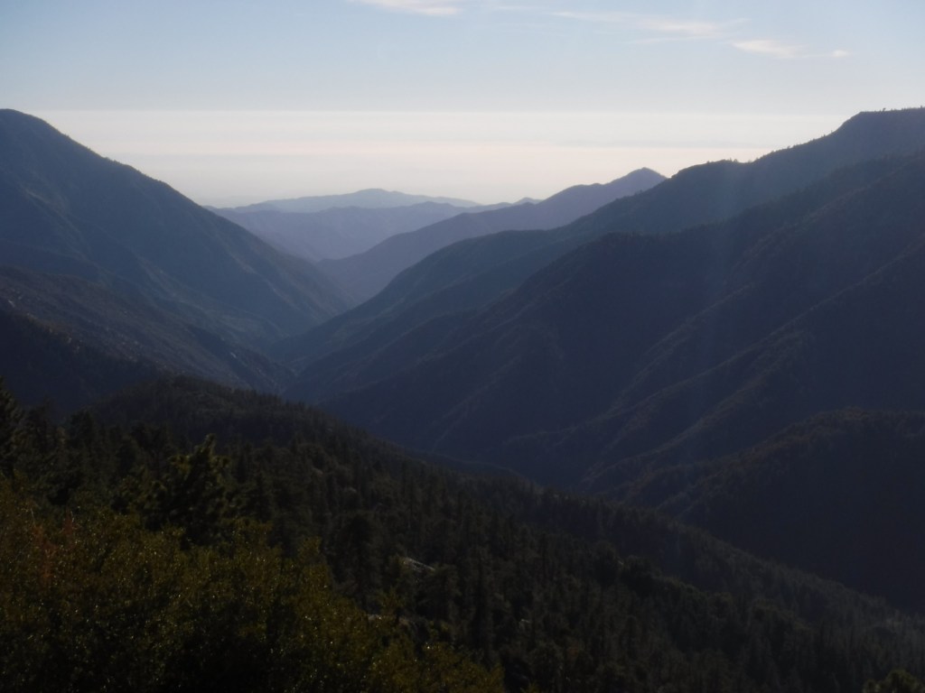
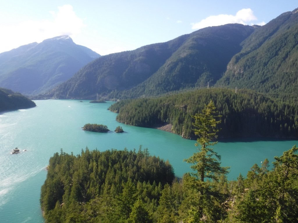
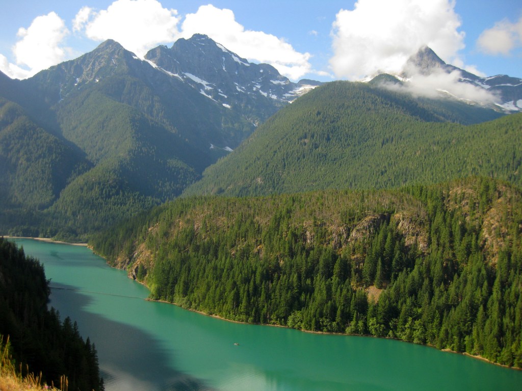
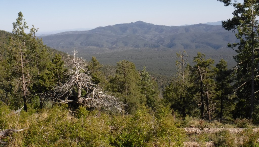
There are great views from atop the Mogollon Rim at Blue Point Overlook on the Coronado Trail Scenic Byway.

Peak Season

Spring and fall

Fees

None

Road Conditions

Highway 191 is paved, but is a slow drive due to its many curves.  Many of the side roads are very rough and a high-clearance vehicle is recommended.  We got a flat tire on the rocky Forest Road 54.

Camping

There are several developed campgrounds, including one at Luna Lake and several along the East Fork of the Black River.  Dispersed camping options abound, including on the road to Escudilla National Recreation Trail and we found a nice campsite near the entrance to Forest Road 54.

Wilderness Areas

Bear Wallow Wilderness

Escudilla Wilderness

Mount Baldy Wilderness

[Blue Range Primitive Area]

Related Sites

Coronado National Memorial (Arizona)

Chiricahua National Monument (Arizona)

Fort Bowie National Historic Site (Arizona)

Nearest National Park

Petrified Forest (Arizona)

Conifer Tree Species

Arizona cypress, alligator juniper, pinyon pine, ponderosa pine, Chihuahua pine, Douglas-fir, white fir, Engelmann spruce

Flowering Tree Species

quaking aspen, Emory oak, Arizona white oak, turbinella oak, New Mexico locust, Rocky Mountain maple, pointleaf manzanita

Explore More – The Apache arrived in this area from the north in the 1300s and their name comes from a Zuni word translated as what?

We are a participant in the Amazon Services LLC Associates Program, an affiliate advertising program designed to provide a means for us to earn fees by linking to Amazon.com and affiliated sites.

San Gabriel Mountains National Monument

San Gabriel Mountains National Monument

California

Managed by U.S. Forest Service, Angeles National Forest

452,096 acres

Website: https://www.fs.usda.gov/r05/angeles/recreation/san-gabriel-mountains-national-monument

Overview

San Gabriel Mountains National Monument was proclaimed on October 10, 2014, by President Barack Obama under the power of the 1906 Antiquities Act and expanded by 105,919 acres ten years later.  Located just north of the Los Angeles metropolitan area, about 15-million people live within 90 minutes of this mountain range, which provides 30% of their drinking water.  Despite this region’s reputation for sun and surf, the high elevations (topping out at 10,064 feet on Mt. San Antonio) regularly get snow in the winter.  The vegetation ranges from chaparral to oak and mixed evergreen forest and is prone to wildfire (see our post on Angeles National Forest for information on recent fires).

Highlights

Angeles Crest Highway, Inspiration Point, Lightning Ridge Nature Trail, Mt. San Antonio, Mt. Baden-Powell, Throop Peak, Silver Moccasin Trail, Gabrielmo National Recreation Trail, High Desert National Recreation Trail, Pacific Crest National Scenic Trail

Must-Do Activity

It was a sunny November afternoon at 7,000 feet in elevation on the Angeles Crest Highway (Highway 2), which traverses the steep-sided San Gabriel Mountains that rise above southern California’s infamous smog.  The rich odor of incense-cedar trees filled the warm air as we ascended the rocky trail from the historic Big Pines Visitor Center. This soulful smell may be more familiar to you than you think since its wood is commonly used to make pencils. The partially shaded path was lined with interpretive signs that introduced the trees and shrubs growing on this dry, south-facing hillside. Across the narrow valley, a ski resort was cut into the dense stands of conifers on the shady north slope.

Best Trail

The 2,600-mile Pacific Crest National Scenic Trail cuts across much of the National Monument with easy access from Highway 2 at the Lightning Ridge Nature Trail and Grassy Hollow Visitor Center.  Other long trails include the Gabrielmo National Recreation Trail and High Desert National Recreation Trail.

Instagram-worthy Photo

Just west on Highway 2 from the Big Pines Visitor Center is Inspiration Point, which looks south at the often smoggy Los Angeles metropolitan area.

Peak Season

Spring and fall

Fees

An Adventure Pass is required to park at many trailheads.  The Forest Service also accepts all America the Beautiful Passes, which can be also used at National Park Service sites.

Road Conditions

The paved Angeles Crest Highway cuts through the National Monument and it used to go through to Glendale, but closed due to damage from the 2020 Bobcat Fire.

Camping

There are many campgrounds in Angeles National Forest, but we did not see any great places to do dispersed car camping when we drove through different portions of it (although we did not drive any dirt roads which is where they typically are found).

Wilderness Areas

Pleasant View Ridge Wilderness

San Gabriel Wilderness

Sheep Mountain Wilderness (also in San Bernardino National Forest)

Related Sites

Saint Francis Dam Disaster National Memorial and Monument (California)

Santa Monica Mountains National Recreation Area (California)

Santa Rosa and San Jacinto Mountains National Monument (California)

Nearest National Park

Channel Islands (California)

Explore More – The movement to preserve the San Gabriel Mountains began in 2003 with what Congresswoman initiating an environmental feasibility report?

Crater Lake National Park

Overview

Formed by a cataclysmic volcanic eruption about 8,000 years ago, Crater Lake National Park protects a nearly round caldera about five miles in diameter.  It is the deepest lake in the country at 1,943 feet, which is a major reason why in 1902 it was named the sixth National Park in the U.S.  When we first visited back in July 2010 most of Rim Drive was still closed due to snow, but in July 2014 there was little snow to be found anywhere.

For Learn more in our guidebook to the National Parks, A Park to Yourself: Finding Adventure in America’s National Parks (available on Amazon).

Highlights

Rim Village, Cleetwood Trail, Cloudcap Overlook, Castle Crest Wildflower Trail, Mount Scott

Must-Do Activity

That very first view you get from the rim is so overwhelming that it is worth whatever effort you have to put in to arrive there.  Bring a coat, though, since at this high elevation we are pretty sure it can snow any month of the year.  Crater Lake has no inlets or outlets and its crystal-clear waters were fish free until some were introduced in the early 1900s.  The only way to get on the water is to hike down the steep one-mile Cleetwood Trail to a boat run by a park concessionaire.  Make sure you have purchased your ticket beforehand or you will be hiking back up to get one. 

Best Trail

We enjoyed the short but colorful Castle Crest Wildflower Trail, as well as the Pinnacles Overlook Trail where fossilized fumaroles mimic the conical shape of conifers.

Instagram-worthy Photo

Pictures truly do not do Crater Lake justice, but stop along Rim Drive to get a closer look at Wizard Island and the Phantom Ship, the only two islands that emerge from the lake.

Peak Season

Late summer

Hours

https://www.nps.gov/crla/planyourvisit/hours.htm

Fees

$30  per vehicle or America the Beautiful pass, but no entry fee in winter

Road Conditions

While some roads are closed most of the year, the National Park Service (NPS) plows the main entry road year round.  Bring your snowshoes!

Camping

The NPS manages two campgrounds in summer (although smaller Lost Creek only allows tent camping), or you can head to the neighboring National Forests for developed and dispersed campsites.

Related Sites

Oregon Caves National Monument and Preserve (Oregon)

John Day Fossil Beds National Monument (Oregon)

Mount Rainier National Park (Washington)

This design we created to celebrate Crater Lake National Park is available on a variety of products at Cafe Press and Amazon.

Explore More – What was the name of the vast volcano that existed here before it collapsed nearly 7,700 years ago?

We are a participant in the Amazon Services LLC Associates Program, an affiliate advertising program designed to provide a means for us to earn fees by linking to Amazon.com and affiliated sites.

Ross Lake National Recreation Area

Overview

Bisecting the two sections of North Cascades National Park in northern Washington is Ross Lake National Recreation Area.  The incredibly scenic Highway 20 (closed seasonally) cuts through the mountains here, less than two hours from Seattle.  The rainshadow effect is readily apparent to anyone who crosses these mountains from the lush west to the arid eastern portion of the state.  Access to the only boat ramp on Ross Lake actually requires a drive through Canada, but you can also pick up a water taxi near Diablo Dam.

Highlights

Diablo Lake Overlook, Gorge Creek Falls, Ross Lake Resort, Sourdough Mountain Trail

Must-Do Activity

If coming from Seattle, start your visit at the North Cascades National Park Visitor Center on the scenic North Cascades Highway (20).  Ross Lake National Recreation Area contains three hydroelectric reservoirs, which have an interesting turquoise color due to glacial silt, especially evident at Diablo Lake Overlook.  Nearby, Colonial Creek Campground offers a peaceful forest in which to spend the night and a good jumping off place for a day hike on Thunder Creek or Fourth of July Trails through old-growth forests with colossal mushroom conchs and giant banana slugs.

Best Trail

Summiting Desolation Peak is often found on the bucket lists of the writer Jack Kerouac’s biggest fans, as he did some of his best writing while stationed as a fire lookout here in 1956.  The observation tower is not far from the Canadian border and the trek is a daunting task, typically utilizing a water taxi to cross Ross Lake.

Instagram-worthy Photo

Do not drive past Diablo Lake Overlook, an awe inspiring and usually gusty stop along Highway 20.  The craggy heights of the geologically young mountains surrounding this spectacular reservoir are magnificent to behold, yet forbidding to enter.

Peak Season

Late summer

Hours

https://www.nps.gov/noca/planyourvisit/hours.htm

Fees

None

Road Conditions

The North Cascades Highway (20) is typically closed east of Ross Dam from mid-November through mid-April (or later).  The unpaved road to Thornton Lakes Trailhead is not suitable for trailers.

Camping

Colonial Creek Campground (164 sites) is only one option, additionally there are Newhalem Creek (119 sites), Goodell Creek (22 sites), and Hozomeen (122 sites accessed via a 40-mile gravel road from Hope, British Columbia).  For the full backcountry experience, pick up a free backpacking permit at the Wilderness Information Center in Marblemount, Washington.

Related Sites

Lake Chelan National Recreation Area (Washington)

Lake Roosevelt National Recreation Area (Washington)

Klondike Gold Rush National Historical Park (Alaska-Washington)

Explore More – Only two miles across at its widest point, how long is Ross Lake?

Lassen Volcanic National Park

Overview

Lassen Peak is the southernmost volcano in the Cascade Mountain Range that also includes Mount Rainier, Mount Saint Helens, and Mount Hood.  Lassen Peak last erupted from 1914 to 1917, prompting its creation as a National Park.  Access is limited during the long winters, but you can go cross-country skiing and snowmobiling in adjacent Lassen National Forest.

Learn more in our guidebook to the National Parks, A Park to Yourself: Finding Adventure in America’s National Parks (available on Amazon).

Highlights

Bumpass Hell, Lassen Peak Trail, Sulphur Works, Manzanita Lake

Must-Do Activity

Many hikers make it to the 10,457-foot summit of the dormant volcano for fantastic views of Lake Almanor and Mount Shasta.  If you are not up for a 2,000 foot elevation gain, then make sure to take the flatter trail to Bumpass Hell, a colorful collection of geysers, fumaroles, and hot springs that is like a miniature Yellowstone National Park.  June may be a little early to visit after heavy snow years, so aim for late-July or August instead.

Best Trail

In the park’s remote northeast corner, a hike to the well-named Painted Dunes is worth the effort.  From that point you can climb up the shifting trail to the top of the cinder cone for great views of the colorful lava bed, turquoise Butte Lake, and snow-covered Lassen Peak.  Expect to get a lot of jagged cinders in your shoes unless you come prepared.  If you continue your ramble you can hook up with the 2,663-mile long Pacific Crest Trail which cuts through the park.

Instagram-worthy Photo

There is a great view down into Bumpass Hell as you approach it from the trail.  Note the snowbanks lasting into late August.

Peak Season

Late summer

Hours

https://www.nps.gov/lavo/planyourvisit/hours.htm

Fees

$30 per vehicle or America the Beautiful pass

Road Conditions

Even if the paved road across the park’s high country is closed in early summer, try making it down the dirt road to Butte Lake (at a lower elevation) in the northeast corner of the park.

Camping

There are seasonal campgrounds within the park, or try finding a dispersed campsite on the dirt roads of surrounding Lassen National Forest.

Related Sites

Lava Beds National Monument (California)

Devils Postpile National Monument (California)

Whiskeytown-Shasta-Trinity National Recreation Area (California)

This design we created to celebrate Lassen Volcanic National Park is available on a variety of products at Cafe Press and Amazon.

Explore More – More than 400,000 year ago, much of the western half of the National Park was one large composite volcano estimated to have been 11 miles in diameter and how many feet in elevation?

We are a participant in the Amazon Services LLC Associates Program, an affiliate advertising program designed to provide a means for us to earn fees by linking to Amazon.com and affiliated sites.