Caribou National Forest
Idaho, Utah, Wyoming
Managed by U.S. Forest Service, Intermountain Region
1,085,966 acres (987,216 federal/ 98,750 other)
Website: https://www.fs.usda.gov/ctnf
Overview
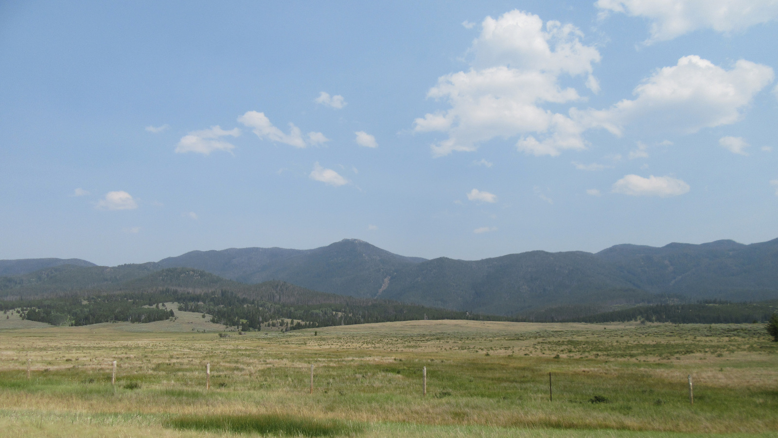
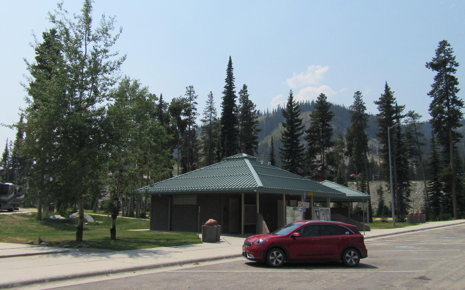
Co-managed as Caribou-Targhee National Forest since 2000, Caribou National Forest is located in the southeastern corner of Idaho. To add to the jurisdictional muddle, Caribou National Forest has also administered the 263,940-acre Idaho portion of Wasatch-Cache National Forest since 1973 (see previous blog post). However, nearly 50 years later all of the wooden signs in this area still read Cache National Forest. Despite the signage, U.S. Forest Service publications and topographic maps identify Minnetonka Cave and Paris Ice Cave as being in Caribou-Targhee National Forest, so we went with that. Confused? So are we, so much so that we made a phone call to a Forest Service employee in this ranger district that still did not clear up the bureaucratic mess.

Highlights
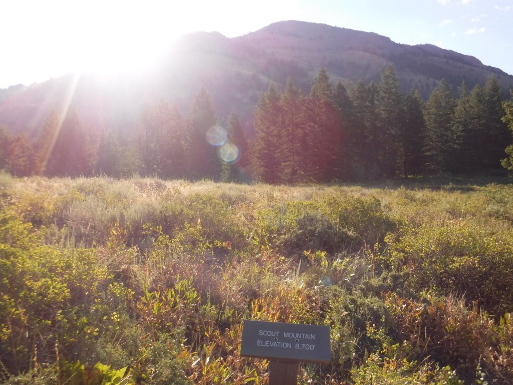
Pioneer Historic Scenic Byway, Minnetonka Cave, Paris Ice Cave, Caribou City ghost town, Malad Range, Tincup Mountain, Oregon Trail-Bear Lake Scenic Byway, Lander Cutoff, Oneida Salt Works, Cherry Springs Nature Area, Montpelier Canyon, Bloomington Lake, Scout Mountain Nature Trail
Must-Do Activity
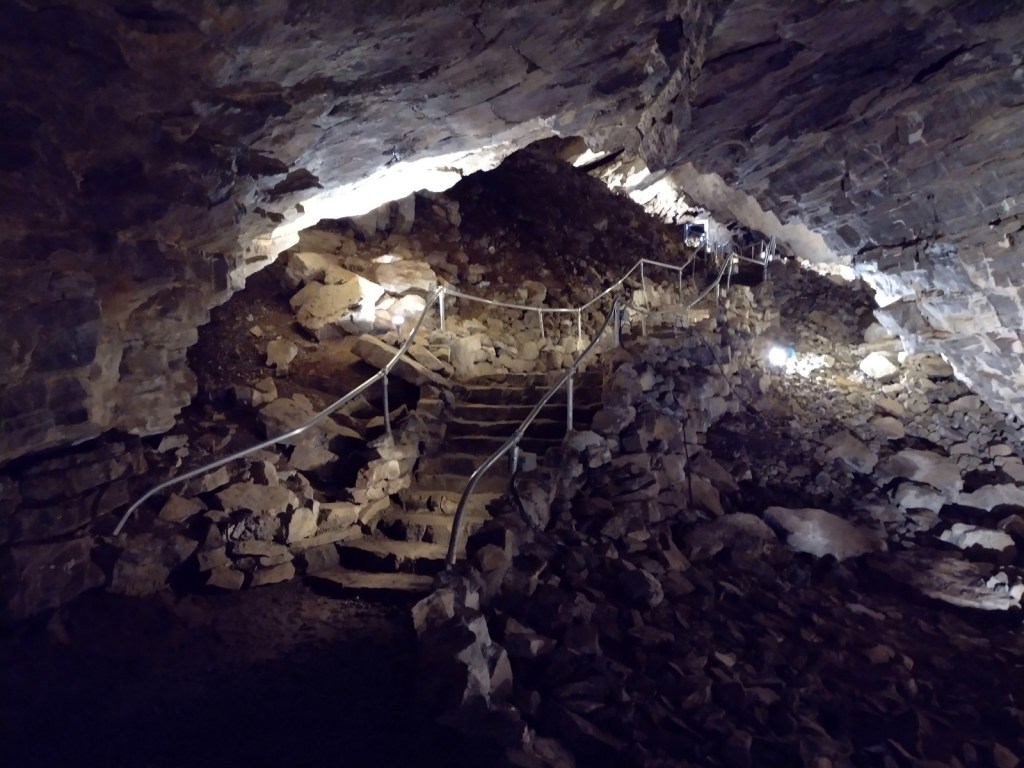
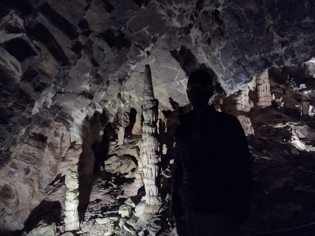
In Montpelier, Idaho, the National Oregon/California Trail Center is managed by the U.S. Forest Service on the Pioneer Historic Scenic Byway. To the southwest, Minnetonka Cave is one of the few developed cave tours offered by (a concessionaire for) the Forest Service. The natural entrance to Minnetonka Cave was widened and the route lighted by the Works Progress Administration in the 1930s when 444 stairs were installed to allow large groups to visit. The tour goes out and back on the same route so the steep downward sections become climbs on the return trip, but guides make multiple stops in both directions to allow you to catch your breath at this high elevation.
Best Trail
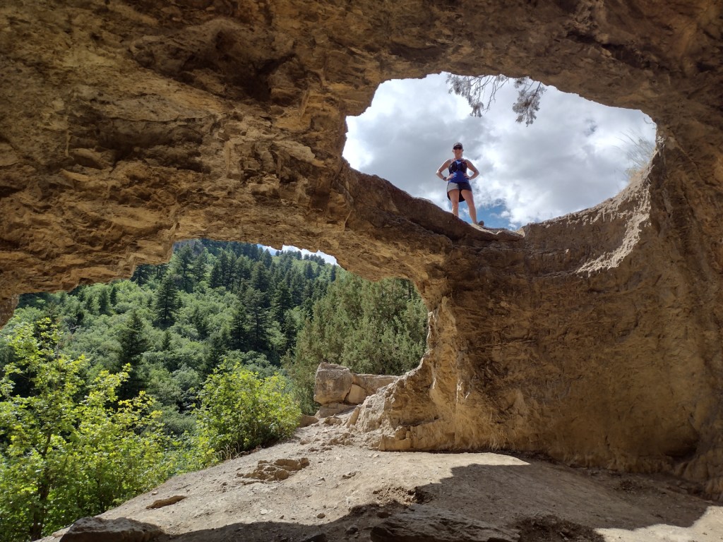
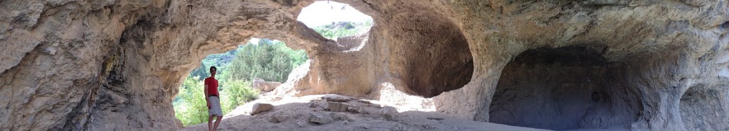
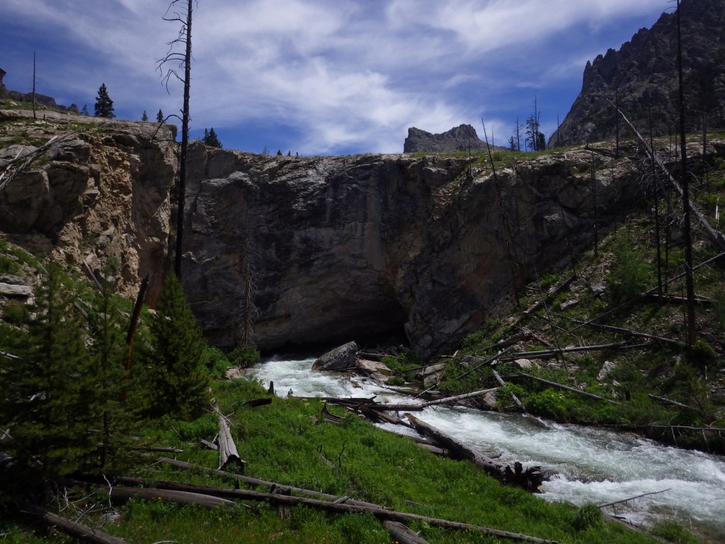
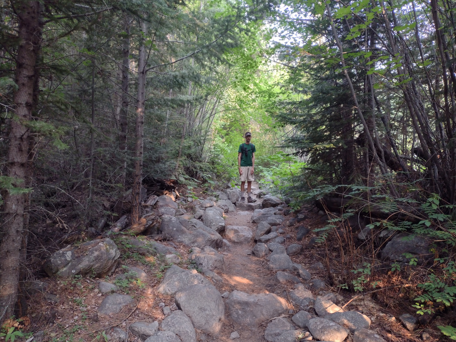
Further north than Minnetonka Cave, a 9.5-mile long dirt road drive up to 7,800 feet in elevation leads to the short boardwalk through the Paris Ice Cave. This photogenic natural tunnel is open at both ends so it does not require a flashlight, but does retain snowpack deep into the summer months. Signs at both caves still say Cache National Forest even though this district has not been managed by them since 1973.
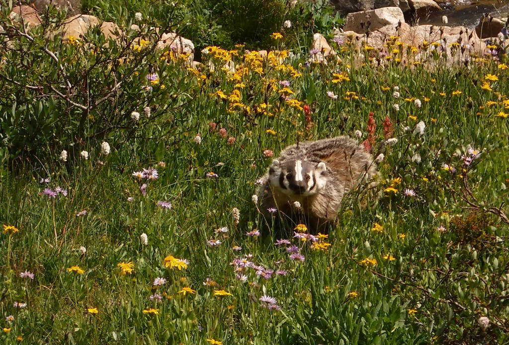
Watchable Wildlife
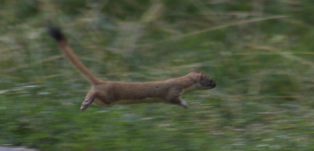
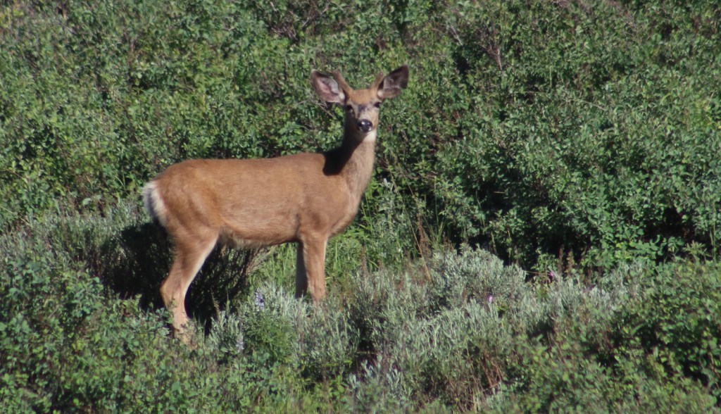
This is a fairly arid portion of the west, so you are more likely to see a ground squirrel, coyote, or mule deer than any other wildlife. In Minnetonka Cave, our tour guide pointed out a couple Townsend’s big-eared bats, which is why they screen all visitors for white-nosed bat syndrome. We disturbed a nesting robin when exiting the Paris Ice Cave.
Instagram-worthy Photo
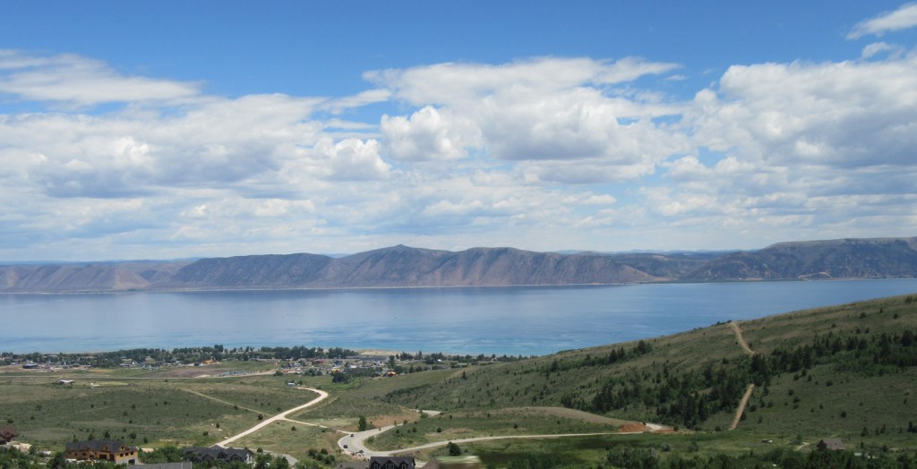
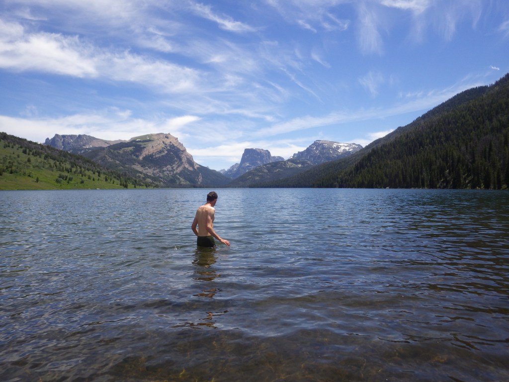
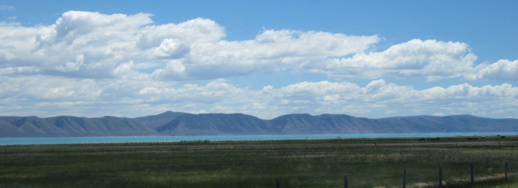
On the Idaho-Utah border, the 109-square-mile Bear Lake has been called the “Caribbean of the Rockies” because of its water’s intense turquoise color, due to suspended limestone sediment. The naturally-formed lake sits at 5,924 feet in elevation and its maximum depth is 208 feet. Both states have their own Bear Lake State Park with boat ramps and beaches for swimming.
Peak Season
Summer
Fees
It costs $12 per person for the 80-minute Minnetonka Cave Tour that you must pay before driving up to the actual cave, but we did not come across any other fees.
Road Conditions
Access to Minnetonka Cave is paved and the 9.5-mile long dirt road drive up to Paris Ice Cave was good enough for our passenger vehicle to handle.
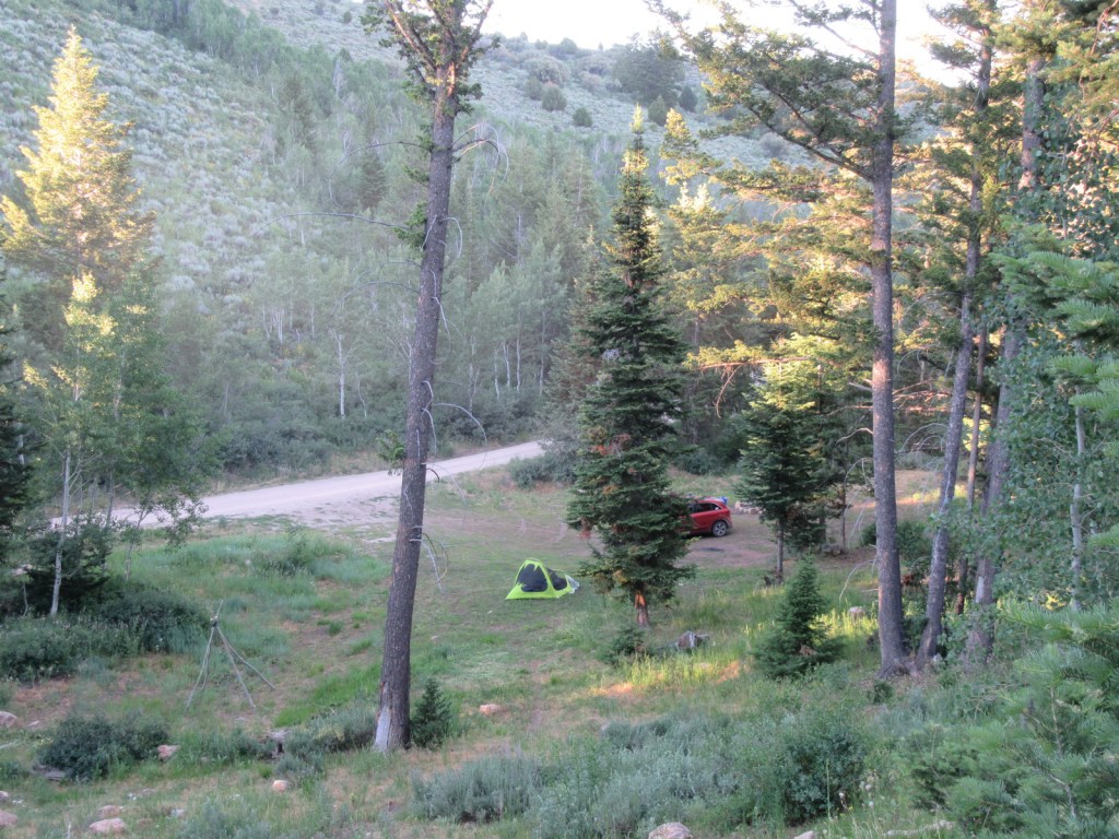
Camping
There are numerous campgrounds on the way to Minnetonka Cave and we found a large, flat dispersed camp along the road to Paris Ice Cave.
Wilderness Areas
None
Related Sites
Targhee National Forest (Idaho-Wyoming)
Fossil Butte National Monument (Wyoming)
Timpanogos Cave National Monument (Utah)
Nearest National Park
Grand Teton (Wyoming)


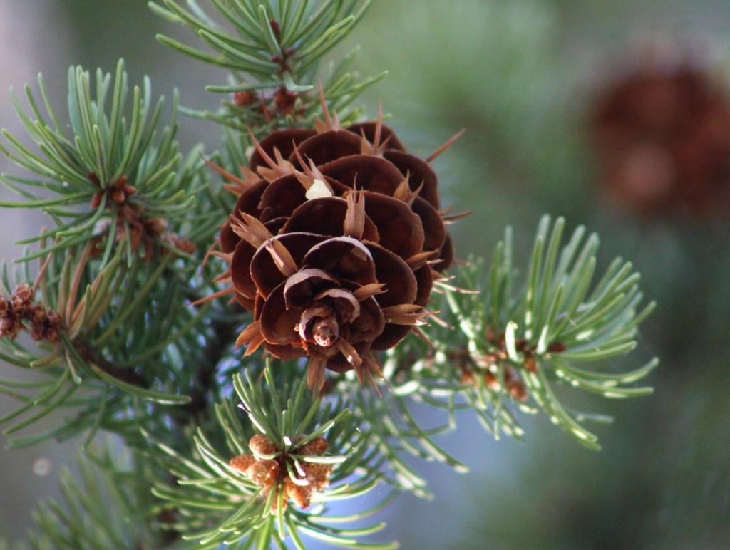


Conifer Tree Species
Rocky Mountain juniper, Utah juniper, limber pine, whitebark pine, ponderosa pine, lodgepole pine, Engelmann spruce, subalpine fir, white fir, Douglas-fir
Flowering Tree Species
quaking aspen, river birch, boxelder, Rocky Mountain maple, Bebb willow, blue elderberry, red osier dogwood, chokecherry, curlleaf mountain-mahogany, sagebrush
Explore More – The Caribou Mountains were named for a gold miner nicknamed “Cariboo Jack,” but what was his real name?


Learn more about Caribou and the 154 other National Forests in our new guidebook Out in the Woods

We are a participant in the Amazon Services LLC Associates Program, an affiliate advertising program designed to provide a means for us to earn fees by linking to Amazon.com and affiliated sites.