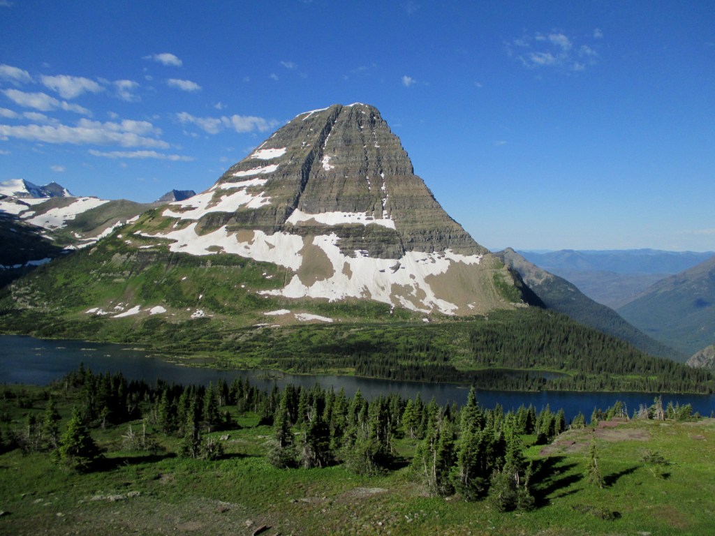
Tag Archives: mountains

Crater Lake National Park

Overview

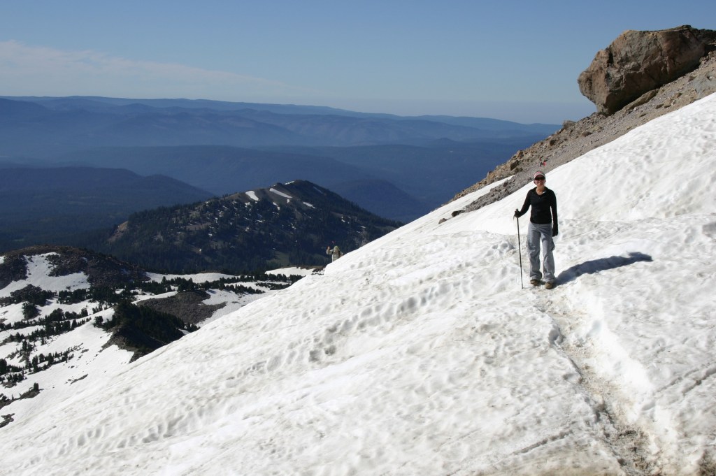
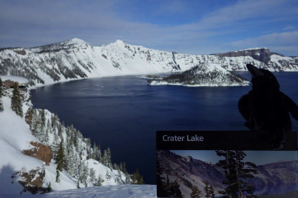
Formed by a cataclysmic volcanic eruption about 8,000 years ago, Crater Lake National Park protects a nearly round caldera about five miles in diameter.  It is the deepest lake in the country at 1,943 feet, which is a major reason why in 1902 it was named the sixth National Park in the U.S.  When we first visited back in July 2010 most of Rim Drive was still closed due to snow, but in July 2014 there was little snow to be found anywhere.

For Learn more in our guidebook to the National Parks, A Park to Yourself: Finding Adventure in America’s National Parks (available on Amazon).

Highlights

Rim Village, Cleetwood Trail, Cloudcap Overlook, Castle Crest Wildflower Trail, Mount Scott

Must-Do Activity

That very first view you get from the rim is so overwhelming that it is worth whatever effort you have to put in to arrive there.  Bring a coat, though, since at this high elevation we are pretty sure it can snow any month of the year.  Crater Lake has no inlets or outlets and its crystal-clear waters were fish free until some were introduced in the early 1900s.  The only way to get on the water is to hike down the steep one-mile Cleetwood Trail to a boat run by a park concessionaire.  Make sure you have purchased your ticket beforehand or you will be hiking back up to get one. 

Best Trail

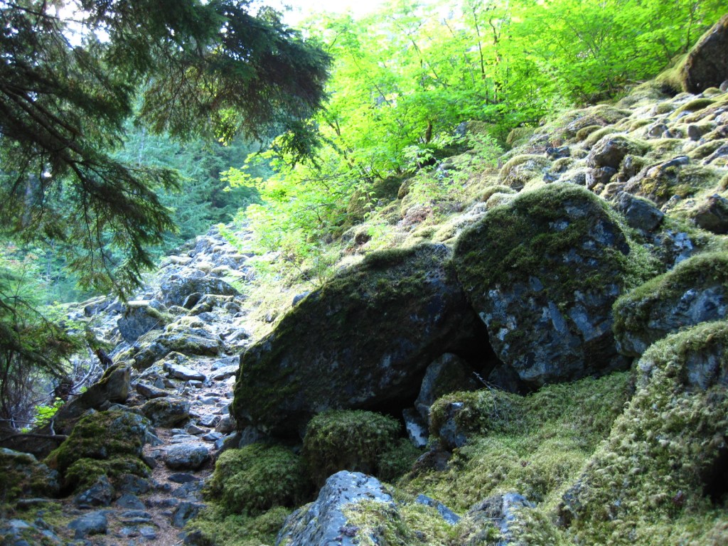
We enjoyed the short but colorful Castle Crest Wildflower Trail, as well as the Pinnacles Overlook Trail where fossilized fumaroles mimic the conical shape of conifers.

Instagram-worthy Photo

Pictures truly do not do Crater Lake justice, but stop along Rim Drive to get a closer look at Wizard Island and the Phantom Ship, the only two islands that emerge from the lake.

Peak Season

Late summer

Hours

https://www.nps.gov/crla/planyourvisit/hours.htm

Fees

$30  per vehicle or America the Beautiful pass, but no entry fee in winter

Road Conditions

While some roads are closed most of the year, the National Park Service (NPS) plows the main entry road year round.  Bring your snowshoes!

Camping

The NPS manages two campgrounds in summer (although smaller Lost Creek only allows tent camping), or you can head to the neighboring National Forests for developed and dispersed campsites.

Related Sites

Oregon Caves National Monument and Preserve (Oregon)

John Day Fossil Beds National Monument (Oregon)

Mount Rainier National Park (Washington)

This design we created to celebrate Crater Lake National Park is available on a variety of products at Cafe Press and Amazon.

Explore More – What was the name of the vast volcano that existed here before it collapsed nearly 7,700 years ago?

We are a participant in the Amazon Services LLC Associates Program, an affiliate advertising program designed to provide a means for us to earn fees by linking to Amazon.com and affiliated sites.

Ross Lake National Recreation Area

Overview

Bisecting the two sections of North Cascades National Park in northern Washington is Ross Lake National Recreation Area.  The incredibly scenic Highway 20 (closed seasonally) cuts through the mountains here, less than two hours from Seattle.  The rainshadow effect is readily apparent to anyone who crosses these mountains from the lush west to the arid eastern portion of the state.  Access to the only boat ramp on Ross Lake actually requires a drive through Canada, but you can also pick up a water taxi near Diablo Dam.

Highlights

Diablo Lake Overlook, Gorge Creek Falls, Ross Lake Resort, Sourdough Mountain Trail

Must-Do Activity

If coming from Seattle, start your visit at the North Cascades National Park Visitor Center on the scenic North Cascades Highway (20).  Ross Lake National Recreation Area contains three hydroelectric reservoirs, which have an interesting turquoise color due to glacial silt, especially evident at Diablo Lake Overlook.  Nearby, Colonial Creek Campground offers a peaceful forest in which to spend the night and a good jumping off place for a day hike on Thunder Creek or Fourth of July Trails through old-growth forests with colossal mushroom conchs and giant banana slugs.

Best Trail

Summiting Desolation Peak is often found on the bucket lists of the writer Jack Kerouac’s biggest fans, as he did some of his best writing while stationed as a fire lookout here in 1956.  The observation tower is not far from the Canadian border and the trek is a daunting task, typically utilizing a water taxi to cross Ross Lake.

Instagram-worthy Photo

Do not drive past Diablo Lake Overlook, an awe inspiring and usually gusty stop along Highway 20.  The craggy heights of the geologically young mountains surrounding this spectacular reservoir are magnificent to behold, yet forbidding to enter.

Peak Season

Late summer

Hours

https://www.nps.gov/noca/planyourvisit/hours.htm

Fees

None

Road Conditions

The North Cascades Highway (20) is typically closed east of Ross Dam from mid-November through mid-April (or later).  The unpaved road to Thornton Lakes Trailhead is not suitable for trailers.

Camping

Colonial Creek Campground (164 sites) is only one option, additionally there are Newhalem Creek (119 sites), Goodell Creek (22 sites), and Hozomeen (122 sites accessed via a 40-mile gravel road from Hope, British Columbia).  For the full backcountry experience, pick up a free backpacking permit at the Wilderness Information Center in Marblemount, Washington.

Related Sites

Lake Chelan National Recreation Area (Washington)

Lake Roosevelt National Recreation Area (Washington)

Klondike Gold Rush National Historical Park (Alaska-Washington)

Explore More – Only two miles across at its widest point, how long is Ross Lake?

Lassen Volcanic National Park

Overview

Lassen Peak is the southernmost volcano in the Cascade Mountain Range that also includes Mount Rainier, Mount Saint Helens, and Mount Hood.  Lassen Peak last erupted from 1914 to 1917, prompting its creation as a National Park.  Access is limited during the long winters, but you can go cross-country skiing and snowmobiling in adjacent Lassen National Forest.

Learn more in our guidebook to the National Parks, A Park to Yourself: Finding Adventure in America’s National Parks (available on Amazon).

Highlights

Bumpass Hell, Lassen Peak Trail, Sulphur Works, Manzanita Lake

Must-Do Activity

Many hikers make it to the 10,457-foot summit of the dormant volcano for fantastic views of Lake Almanor and Mount Shasta.  If you are not up for a 2,000 foot elevation gain, then make sure to take the flatter trail to Bumpass Hell, a colorful collection of geysers, fumaroles, and hot springs that is like a miniature Yellowstone National Park.  June may be a little early to visit after heavy snow years, so aim for late-July or August instead.

Best Trail

In the park’s remote northeast corner, a hike to the well-named Painted Dunes is worth the effort.  From that point you can climb up the shifting trail to the top of the cinder cone for great views of the colorful lava bed, turquoise Butte Lake, and snow-covered Lassen Peak.  Expect to get a lot of jagged cinders in your shoes unless you come prepared.  If you continue your ramble you can hook up with the 2,663-mile long Pacific Crest Trail which cuts through the park.

Instagram-worthy Photo

There is a great view down into Bumpass Hell as you approach it from the trail.  Note the snowbanks lasting into late August.

Peak Season

Late summer

Hours

https://www.nps.gov/lavo/planyourvisit/hours.htm

Fees

$30 per vehicle or America the Beautiful pass

Road Conditions

Even if the paved road across the park’s high country is closed in early summer, try making it down the dirt road to Butte Lake (at a lower elevation) in the northeast corner of the park.

Camping

There are seasonal campgrounds within the park, or try finding a dispersed campsite on the dirt roads of surrounding Lassen National Forest.

Related Sites

Lava Beds National Monument (California)

Devils Postpile National Monument (California)

Whiskeytown-Shasta-Trinity National Recreation Area (California)

This design we created to celebrate Lassen Volcanic National Park is available on a variety of products at Cafe Press and Amazon.

Explore More – More than 400,000 year ago, much of the western half of the National Park was one large composite volcano estimated to have been 11 miles in diameter and how many feet in elevation?

We are a participant in the Amazon Services LLC Associates Program, an affiliate advertising program designed to provide a means for us to earn fees by linking to Amazon.com and affiliated sites.

Glacier National Park

Overview

Officially, since 1932 this American-Canadian natural reserve has been called Waterton-Glacier International Peace Park.  We will focus on the U.S. side since you still need a passport to cross the border (when it is open).  The million-acre Glacier National Park was established in 1910 as a tourist destination and to protect its wildlife, including grizzly/brown bears.  It is open year round, but sees more than half its visitors in July and August.

Learn more in our guidebook to the National Parks, A Park to Yourself: Finding Adventure in America’s National Parks (available on Amazon).

Highlights

Going-to-the-Sun Road, St. Mary Lake, Logan Pass, Many Glacier Hotel, Iceberg Lake

Must-Do Activity

The world renowned Going-to-the-Sun Road was built to cross the park from east to west in the 1920s.  At its highest point (6,646-foot Logan Pass), the road crosses the Continental Divide, an imaginary line where a raindrop drains all the way into the Atlantic Ocean on one side and into the Pacific Ocean on the other.  Hidden Lake Overlook near the Logan Pass Visitor Center is known for sightings of mountain goats, bighorn sheep, and hoary marmots.

Best Trail

Avalanche Lake is located at the end of a two-mile one-way hike from the famous Going-to-the-Sun Road.  We spotted a grizzly/brown bear on the way back from our hike there.

Instagram-worthy Photo

Hidden Lake often reflects the image of Bearhat Mountain, which is why we chose it as our logo design for Glacier National Park (see below).

Peak Season

Summer

Hours

https://www.nps.gov/glac/planyourvisit/hours.htm

Fees

$35 per vehicle or America the Beautiful pass

Road Conditions

Vehicles over 21 feet in length or eight feet in width are prohibited in the middle sections of Going-to-the-Sun Road.  Good dirt roads lead to campgrounds at Bowman Lake and Kintla Lake on the west side of the park.

Camping

St. Mary and Fish Creek Campgrounds accept reservations and several others are available on a first-come, first-served basis.

Related Sites

Yellowstone National Park (Wyoming-Montana-Idaho)

Grant-Kohrs Ranch National Historic Site (Montana)

Big Hole National Battlefield (Montana)

This design we created to celebrate Glacier National Park is available on a variety of products at Cafe Press and Amazon.

Explore More – When were the iconic “red jammer” buses first introduced to the park?

We are a participant in the Amazon Services LLC Associates Program, an affiliate advertising program designed to provide a means for us to earn fees by linking to Amazon.com and affiliated sites.

Fort Davis National Historic Site

Overview

The base of the Davis Mountains is the wonderfully scenic setting for Fort Davis National Historic Site, originally active from 1854 to 1891.  It was manned by U.S. troops except after Texas seceded during the Civil War, which is ironic given that it was named for Jefferson Davis.  Confederate forces obviously saw this as enough reason to occupy the remote frontier fort for a year.  The park preserves its 1867 layout, when the fort was rebuilt following five years of abandonment.

Highlights

Museum, film, historic buildings, Davis Mountains State Park

Must-Do Activity

After the Civil War, Fort Davis became famous for posting African-American “Buffalo Soldiers.”  Maybe this is why they chose to cast 7-foot-2-inch tall Kareem Abdul-Jabbar as the cowboy hat-wearing narrator of the park’s introductory film.  That in-and-of-itself is worth the price of admission.  The dry Chihuahuan Desert air has preserved the 21 remaining buildings well.  Throughout the day, bugle calls on the loudspeaker will hearken you back to frontier days. 

Best Trail

A self-guided trail leads around the 523-acre property and enters six buildings: the commanding officer’s quarters, lieutenants’ quarters, barracks, commissary, hospital, and officers’ servants’ quarters.  There are other trails here and in neighboring Davis Mountains State Park, but be aware that the fort sits at 4,900 feet of elevation.

Instagram-worthy Photo

The morning we visited, mule deer were feeding on the lawn in front of the restored buildings.

Peak Season

Summer

Hours

https://www.nps.gov/foda/planyourvisit/hours.htm

Fees

$10 per person or America the Beautiful pass

Road Conditions

Access roads paved

Camping

If you enjoy spending time at this beautiful spot, consider camping in adjacent Davis Mountains State Park, which offers good stargazing.

Related Sites

Guadalupe Mountains National Park (Texas)

Carlsbad Caverns National Park (New Mexico)

Big Bend National Park (Texas)

Explore More – Who was the first black graduate of West Point military academy briefly stationed here (before a controversial court-martial later overturned in 1976)?