Tag Archives: history

Natchez Trace Parkway

Natchez Trace Parkway

Mississippi-Alabama-Tennessee

Managed by National Park Service

Established 1938

52,302 acres

Website: nps.gov/natr

Overview

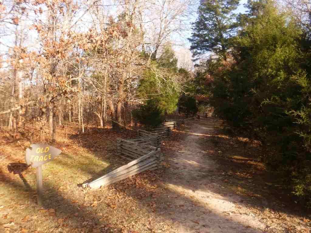
The National Park Service (NPS) administers the Natchez Trace Parkway, a two-lane All-American Road that extends 444 miles from Natchez, Mississippi to Nashville, Tennessee.  The trace started as a game trail that was utilized as an American Indian footpath.  Some of the mound builder sites protected here were inhabited when Hernando de Soto led the first Europeans into this area in 1540.  The Natchez Trace was heavily used in the 1800s by “Kaintuck” flatboatmen returning from New Orleans who left the Mississippi River from Natchez, Mississippi and continued on foot north to Kentucky and beyond.  Today you can still follow portions of the sunken trail worn down by travelers for centuries.  The parkway began as a Civilian Conservation Corps (CCC) project during the Great Depression and the final two segments were completed in 2005.

Highlights

Rocky Springs, Owens Creek Waterfall, Emerald Mound, Mount Locust, Chickasaw Village, Meriwether Lewis Monument and Gravesite, Cypress Swamp Walk, Witch Dance Horse Trail, Natchez Trace National Scenic Trail

Must-Do Activity

Near Tupelo, the Parkway Visitor Center at Milepost 266 is a must-do stop to learn the history of the trace, and it also serves as the NPS contact station for tiny Brices Cross Roads National Battlefield Site and Tupelo National Battlefield.  There are numerous roadside informational pullouts and trailheads along the route, so use the NPS app or pick up an official “unigrid” map.  You can easily spend days exploring, but at a minimum we recommend you check out Emerald Mound, Mount Locust, Cypress Swamp, and Meriwether Lewis Monument and Grave Site.

Best Trail

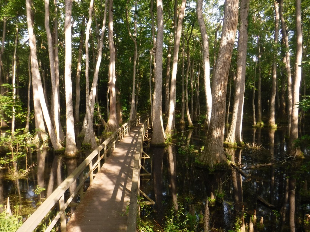
Our favorite trail is the Cypress Swamp Walk at Milepost 122, where a boardwalk crosses a scenic tupelo-baldcypress swamp.  The Natchez Trace National Scenic Trail (click here for our blog post) does not follow the entire 444-mile parkway, but exists in five segments totaling 67 miles in length.  There are also 15 miles of equestrian trails at Witch Dance (Milepost 233.2) in Tombigbee National Forest.

Photographic Opportunity

Not far from Natchez National Historical Park, Emerald Mound (a short detour at Milepost 10.3) is the second-largest American Indian ceremonial mound in the U.S.  It stands 35 feet tall and 770 by 435 feet at its base. 

Peak Season

Spring and fall

Hours

https://nps.gov/natr/planyourvisit/hours.htm

Fees

None

Road Conditions

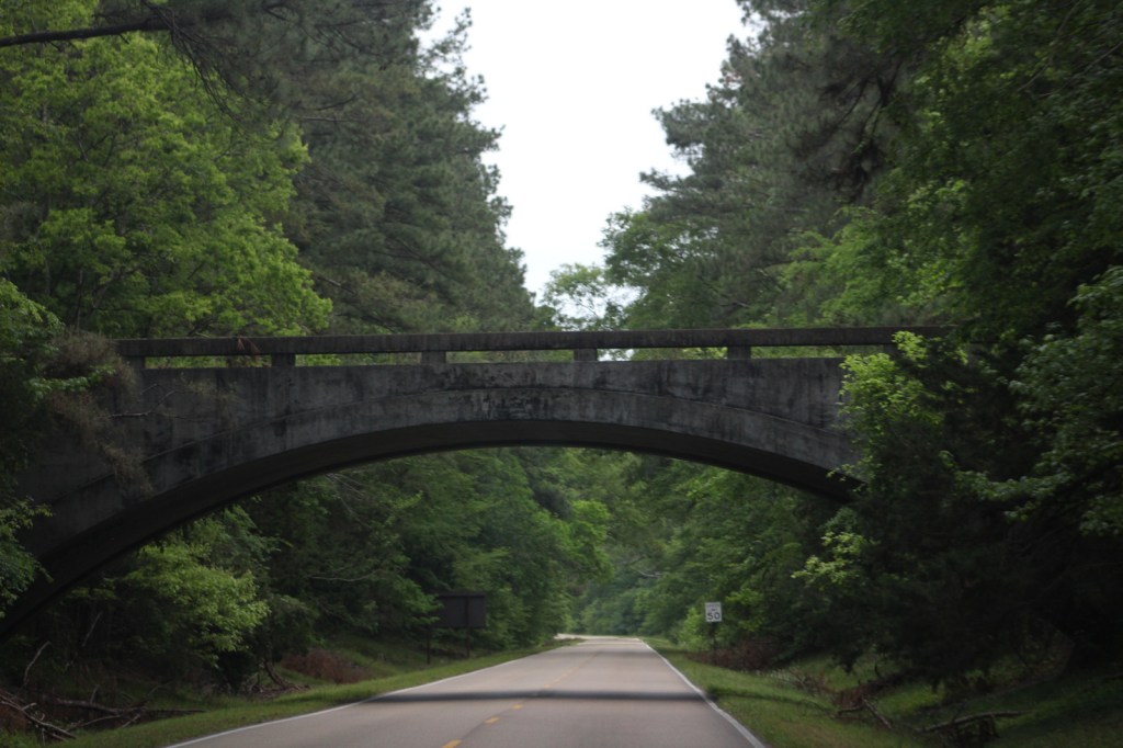
The entire 444-mile Natchez Trace Parkway is paved from Natchez, Mississippi to Nashville, Tennessee with commercial traffic prohibited and a maximum speed limit of 50 miles per hour.  There is a detour from Milepost 181 to 204 due to ongoing construction.  Watch for bicycles and white-tailed deer on the road.

Camping

There are three free NPS campgrounds (at Milepost 54, 193.1, and 385.9) along the route, as well as those in sites like Mississippi’s Tishomingo State Park.  The three NPS campgrounds have water and bathrooms (but no RV hookups), plus there are also five bike-only campsites along the route.  Jeff Busby Campground closed in June 2025 for repairs.

Related Sites

Natchez National Historical Park (Mississippi)

Tupelo National Battlefield (Mississippi)

Brices Cross Roads National Battlefield Site (Mississippi)

Vicksburg National Military Park (Mississippi)

Nearest National Park
Hot Springs

Explore More – When were Ackia Battleground National Monument and Meriwether Lewis National Monument disbanded and added to the Natchez Trace Parkway?

John Fitzgerald Kennedy National Historic Site

John Fitzgerald Kennedy National Historic Site

Massachusetts

Managed by National Park Service

Established 1967

0.09 acre

Website: nps.gov/jofi

Overview

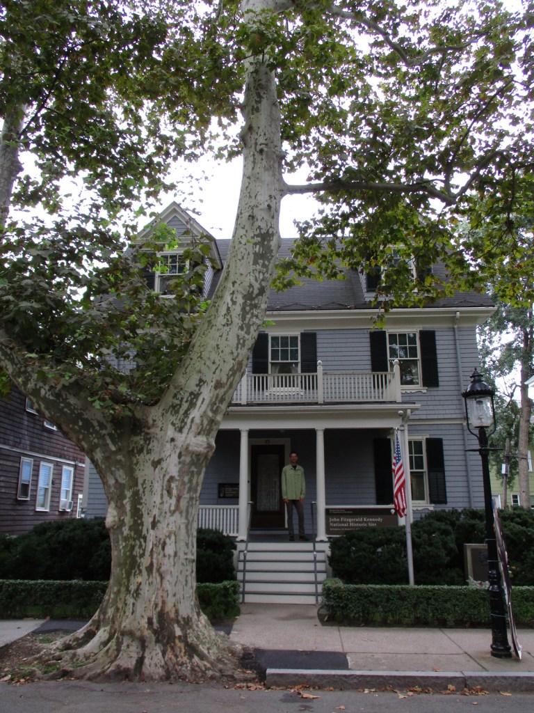
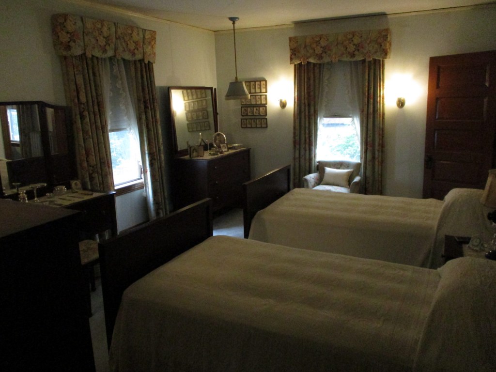
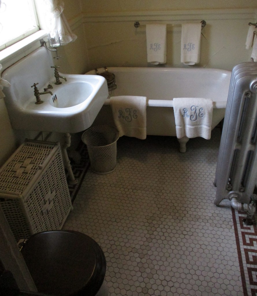
The Coolidge Corner neighborhood of Brookline (a suburb of Boston) contains the birthplace of John F. Kennedy (JFK), the 35th U.S. President and one of four born in Norfolk County.  The house was purchased by Joseph Patrick Kennedy, Sr. in 1914 before his marriage to Rose Elizabeth Fitzgerald.  Rose gave birth to John and his two sisters in the house’s upstairs bedroom before the expanding Irish Catholic family moved a few blocks away in 1920.  Following JFK’s assassination, the family repurchased the home and Rose restored it to its 1917 appearance then donated it to the National Park Service (NPS).

Highlights

Tour, film

Must-Do Activity

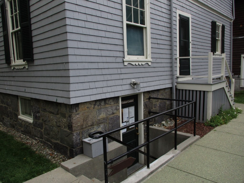
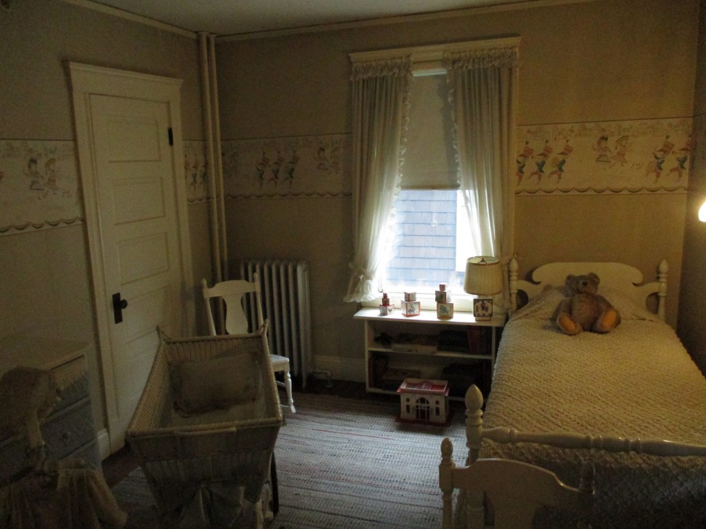
The entrance to the NPS site is through the back door into the basement where a film is shown.  On a free, 30-minute guided house tour, rangers show the room where JFK was born and the nursery containing a bassinet that held each of the nine Kennedy children.  About 19% of the furnishings in the home belonged to the family.  Self-guided tours inside the house are allowed during the lunch hour and the closing hour of the day with free audio wands available in a variety of languages.  The third story where the servants lived is off limits to visitors.  The John F. Kennedy Presidential Library and Museum is located about nine miles away.

Best Trail

You can walk around the neighborhood on your own or reserve a spot on a free 90-minute ranger-guided tour of Boston’s North End (beginning at 2:15 Thursday through Sunday), which includes a stop outside Rose Kennedy’s birthplace home.

Photographic Opportunity

You can drive by the Florida Ruffin Ridley School (formerly known as the Coolidge Corner School and the Edward M. Devotion School) that JFK attended.

Peak Season

Summer

Hours

https://www.nps.gov/jofi/planyourvisit/hours.htm

Fees

None

Road Conditions

The house is located at 83 Beals Street and there is free, two-hour parking available on the street in front of neighbors’ houses.  You can also take the train to Coolidge Corner and walk four blocks north up Harvard Street.

Camping

There is camping in Boston Harbor Islands National Recreation Area and outside the city at the famous Walden Pond.

Related Sites

Adams National Historical Park (Massachusetts)

Frederick Law Olmsted National Historic Site (Massachusetts)

Boston National Historical Park (Massachusetts)

Nearest National Park

Acadia

Explore More – Why did gangster Whitey Bulger toss a Molotov cocktail into the house on September 8, 1975?

Katahdin Woods and Waters National Monument

Katahdin Woods and Waters National Monument

Managed by National Park Service

Established 2016

87,564 acres

Website: nps.gov/kaww

Overview

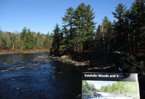
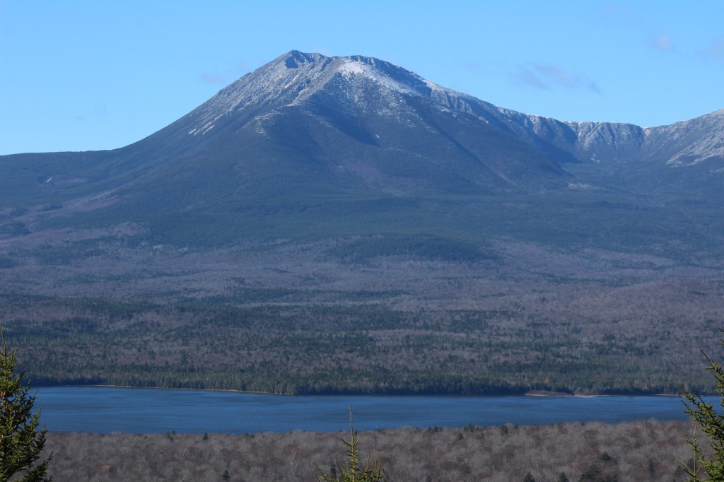
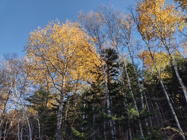
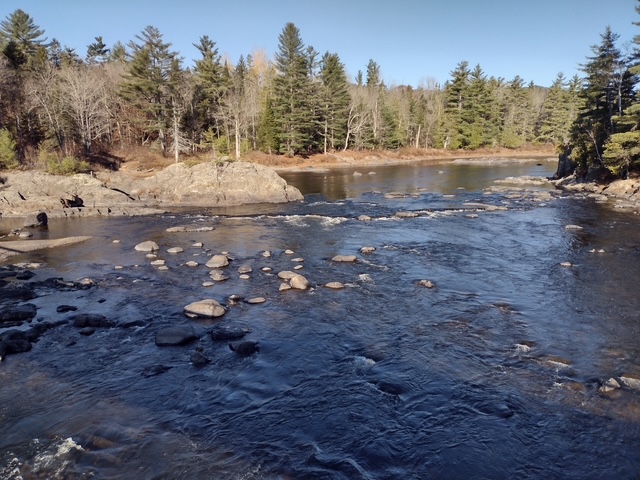
Central Maine is an ecological transition zone between boreal and broadleaf deciduous forests that provides habitat for Canada lynx, black bear, moose, and beaver.  The waters are home to brook trout and Atlantic salmon, which are being reestablished with cooperation between government agencies and the Penobscot and other Wabanaki Nations.  The official northern terminus of the Appalachian National Scenic Trail, Katahdin means “greatest mountain” in the Penobscot language and is the name of the 5,269-foot peak outside National Monument boundaries in neighboring Baxter State Park.  This undeveloped landscape was purchased by the businesswoman Roxanne Quimby beginning in 2001 with the plan to turn it into a National Park.  It was donated to the National Park Service to mark the centennial of its creation and, despite some controversy, was established by President Barack Obama. 

Learn more about the other 137 National Monuments in our book Monumental America: Your Guide to All 138 National Monuments. It is now available for sale on Amazon.com.

Highlights

Tekαkαpimək Contact Station, Patten Lumbermen’s Museum, Katahdin Loop Road, Barnard Mountain, Stair Falls

Must-Do Activity

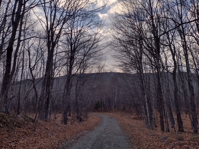
Opened in 2025 near the south entrance, the Tekαkαpimək Contact Station is seasonally open Friday through Sunday in a building inspired by Wabanaki culture.  The National Park Service no longer works out of the Patten Lumbermen’s Museum (but it is still worth a visit).  The 17-mile-long Katahdin Loop Road in the southern section of the National Monument is the most developed with picnic areas, vault toilets, and overlooks.  The unpaved loop road is accessed from the east by miles of unpaved road and has no access to Baxter State Park.  About 30 miles of the International Appalachian Trail runs through Katahdin Woods and Waters National Monument with lean-tos dispersed along the route.  Other than hiking, visitors enjoy stargazing, birding, leaf peeping in the fall, canoeing the East Branch of the Penobscot River with portages around its many waterfalls.  In the winter, there are opportunities for cross-country skiing, snowshoeing, and snowmobiling. 

Best Trail

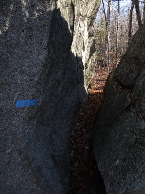
From the Haskell Gate at the end of New River Road, it is 3.5 miles out-and-back to Stair Falls on the East Branch of the Penobscot River.  The first part follows an old road and the International Appalachian Trail before branching north at a signed junction to access the water and is also open to bicycles.  The only trailhead accessed from a paved road is the 13.6-mile Seboeis Riverside Trail that starts outside the National Monument off Grand Lake Road.     

Photographic Opportunity

One of the best views of Katahdin is from the top of Barnard Mountain, accessed by a two-mile one-way hike with 725 feet of elevation gain. 

Peak Season

Summer

Hours

https://www.nps.gov/kaww/planyourvisit/basicinfo.htm

Fees

None

Road Conditions

Every road within the National Monument is unpaved, so watch for potholes and logging trucks.  The north and south entrances have gates that close seasonally.

Camping

Reservations are required to car camp at designated sites within Katahdin Woods and Waters National Monument and can be made online at Recreation.gov. 

Related Sites

Appalachian National Scenic Trail (Maine to Georgia)

Saint Croix Island International Historic Site (Maine)

White Mountain National Forest (New Hampshire, Maine)

Nearest National Park

Acadia

Explore More – When did Katahdin Woods and Waters National Monument receive official recognition as a Dark Sky Sanctuary?

Learn more about the other 137 National Monuments in our book Monumental America: Your Guide to All 138 National Monuments

Upper Missouri River Breaks National Monument

Upper Missouri River Breaks National Monument

Managed by Bureau of Land Management

Established 2001

377,346 acres

Website: https://www.blm.gov/programs/national-conservation-lands/montana-dakotas/upper-missouri-river-breaks

Overview

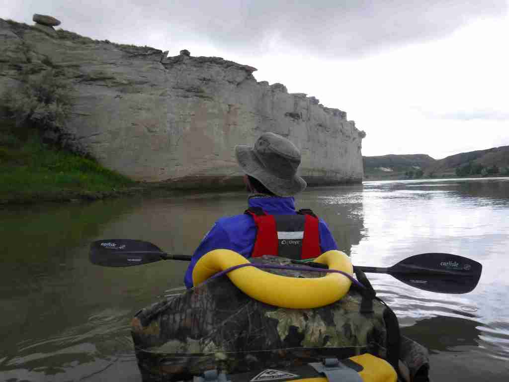
In central Montana, 149 miles of the Upper Missouri River were designated as a National Wild and Scenic River in 1976, upstream from the reservoir in Charles M. Russell National Wildlife Refuge.  This stretch of the river still looks much the way it did when the Lewis and Clark expedition first explored it in 1805 and their former campsites are marked by posts.  The breaks are a topographic area where the Missouri River eroded sedimentary rock that formed as horizontal layers laid down at the bottom of an ancient sea.  The National Monument comprises public land in a matrix with private ranches, with cattle making the water unfit for filtering.  There are a couple places to drive to along the river, but the best way to experience it is by floating a canoe or kayak down the non-motorized sections

Learn more about the other 137 National Monuments in our book Monumental America: Your Guide to All 138 National Monuments. It is now available for sale on Amazon.com.

Highlights

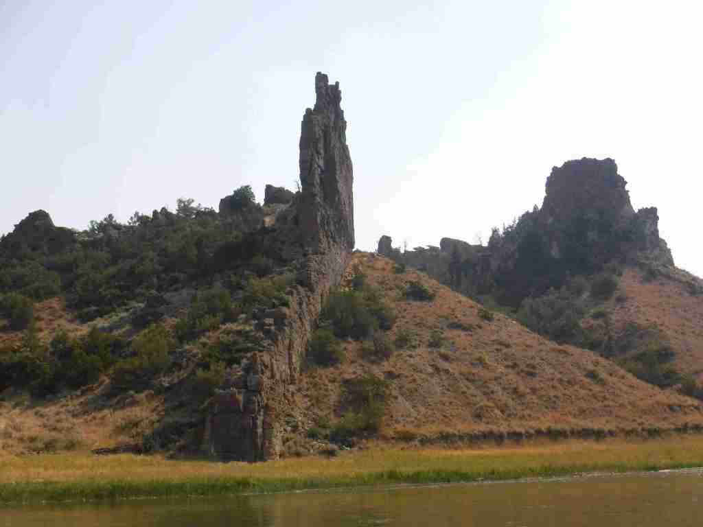
Fort Benton, Decision Point, Neat Coulee, Citadel Rock, Hole-in-the-Wall, Lewis and Clark National Historic Trail

Must-Do Activity

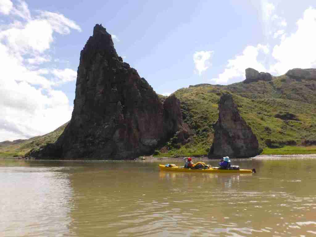
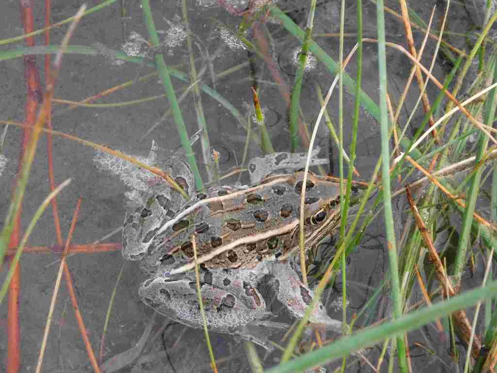
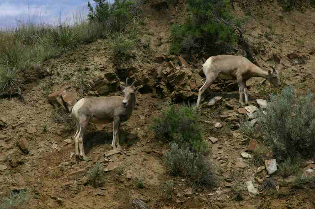
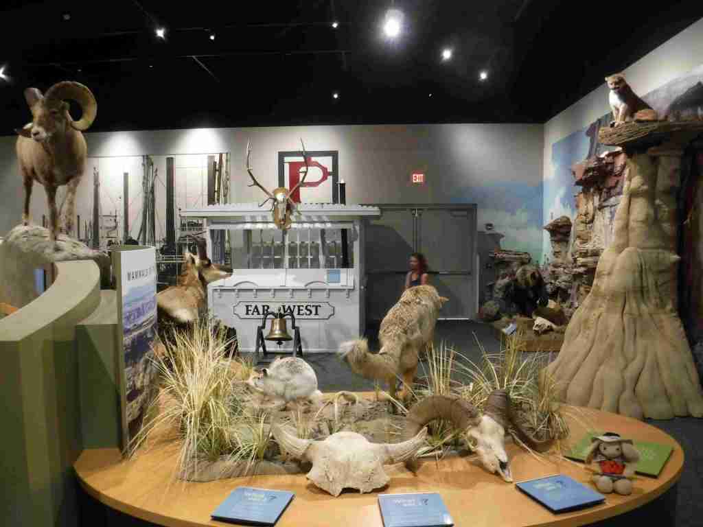
In Fort Benton, start your visit at the free interpretive center run by the Bureau of Land Management (BLM), then head downtown to learn more history by walking the riverfront of Fort Benton National Historic Landmark, including its many museums (admission fees charged) and sculptures of Lewis, Clark, Sacagawea and her son Pompey, and Shep (a local dog famous for his faithfulness).  To find out more about the Corps of Discovery, check out the Lewis and Clark Interpretive Center upstream in Great Falls.  The most scenic stretch to float lies in the 44 miles between Coal Banks Landing and Judith Landing where there are no rapids and the river current is so strong that paddling is mostly reserved for steering.  A permit (fee) is required from the BLM, and we recommend you purchase a Boaters’ Guide and W.A.G. bags.  Wildlife we spotted along the river included bighorn sheep, bald eagles, white pelicans, great blue herons, and beavers. 

Best Trail

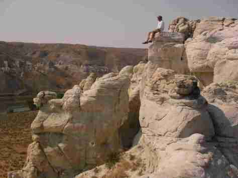
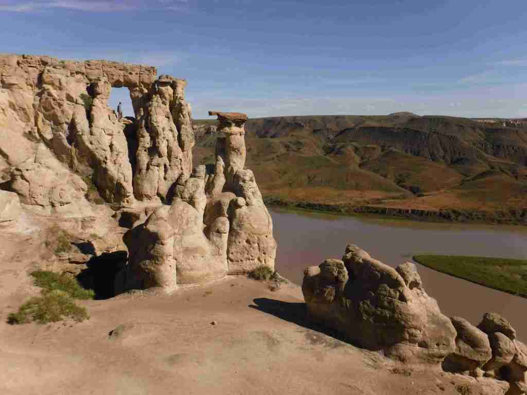
Only accessible by boat, the hike up the slot canyon at Neat Coulee from the Eagle Creek Developed Boat Camp is worth a stop.  It is also possible to scramble up to the eight-foot-tall Hole-in-the-Wall arch that comes into view on the south side of the river just past Citadel Rock.

Photographic Opportunity

One of the few places with road access in Upper Missouri River Breaks National Monument, at Decision Point, Captains Lewis and Clark were not sure which was the main route: the Marias or Missouri River.

Peak Season

Summer

Fees

There is a small fee charged per person per day to be on the river, which helps pay for the maintenance of vault toilets along the route (other waste must be packed out in W.A.G. bags).  An America the Beautiful pass covers the admission fee for the small museum at the BLM visitor center in Ft. Benton.

Road Conditions

Dirt roads doable by passenger vehicles lead to Coal Banks Landing and Judith Landing, while paved roads lead to put-ins at Chouteau County Fairgrounds in Ft. Benton and Kipp Recreation Area at the western edge of Charles M. Russell National Wildlife Refuge.

Camping

There are campgrounds at Chouteau County Fairgrounds, Coal Banks Landing, and Kipp Recreation Area.  Throughout the National Monument developed riverside campgrounds can be accessed by boat, with dispersed camping allowed anywhere on public land (a good map is essential to avoid private land). 

Related Sites

Custer National Forest (Montana)

Pompeys Pillar National Monument (Montana)

Lewis and Clark National Forest (Montana)

Nearest National Park

Glacier

Explore More – Who was Charles M. Russell and why did he get a National Wildlife Refuge named after him?
Learn more about the other 137 National Monuments in our book Monumental America: Your Guide to All 138 National Monuments

Kiowa National Grassland

Kiowa National Grassland

New Mexico

Managed by U.S. Forest Service, Southwestern Region

137,131 acres

Website: https://www.fs.usda.gov/r03/cibola/recreation/kiowa-national-grasslands-0

Overview

Kiowa National Grassland encompasses two discrete units in northeast New Mexico, the eastern one bordering Texas and Oklahoma’s Rita Blanca National Grassland.  This patchwork of public and private lands is administered together with the larger Cibola National Forest and Black Kettle National Grassland.  Elevations range from 4,500 up to 6,300 feet in the western unit where La Frontera del Llano Scenic Byway (NM 39) runs north to south.  Shortgrass prairie is the dominant cover type, with sand sagebrush and pinyon-juniper woodland mostly found in the west.  Ponderosa pines are dispersed on wetter hill faces and riparian areas support Fremont cottonwoods and willows. 

Highlights

Mills Canyon, Santa Fe National Historic Trail

Must-Do Activity

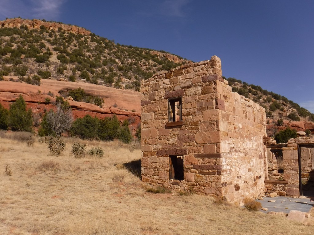
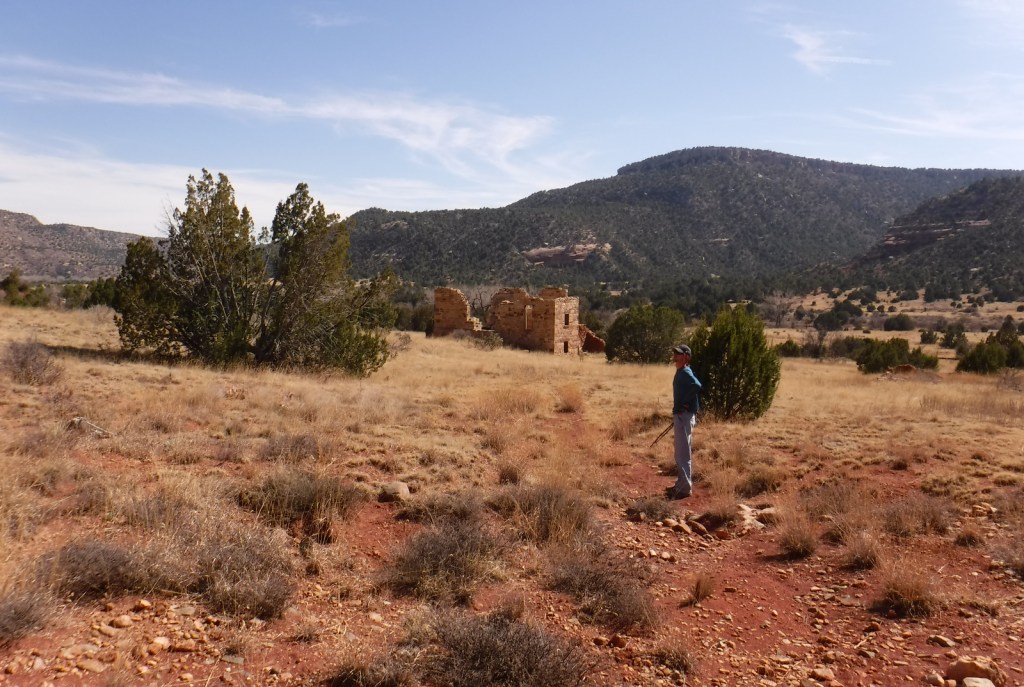
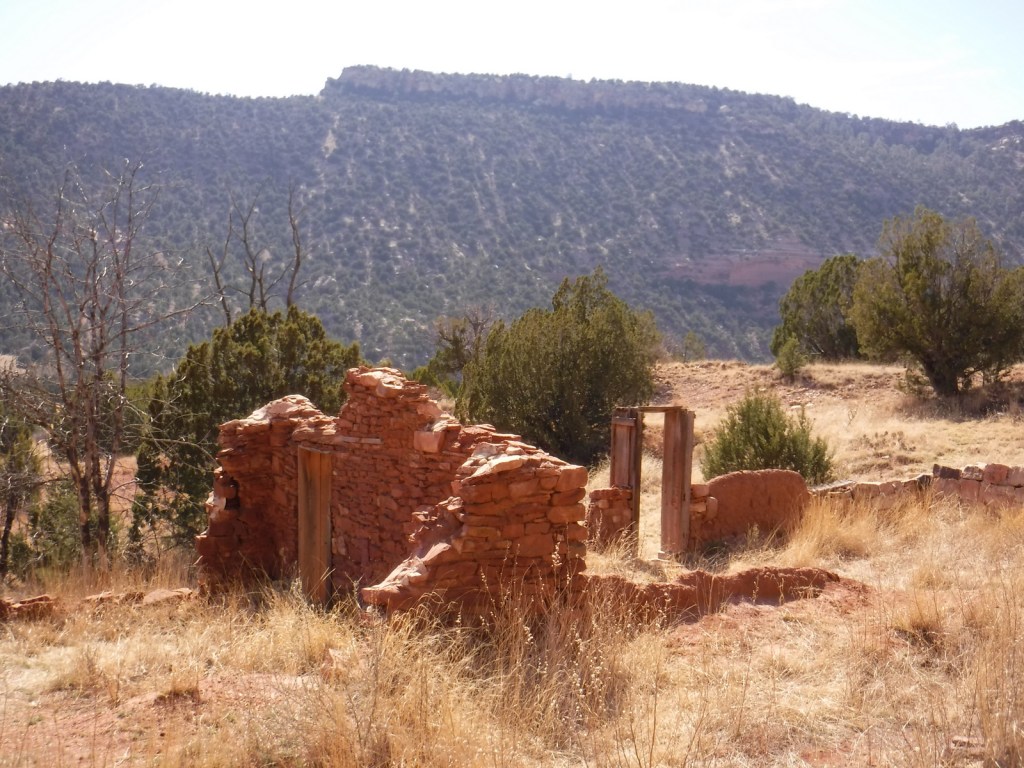
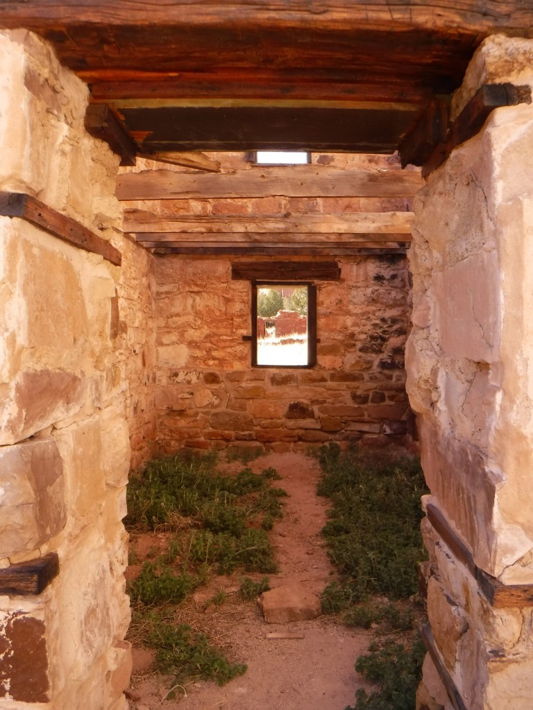
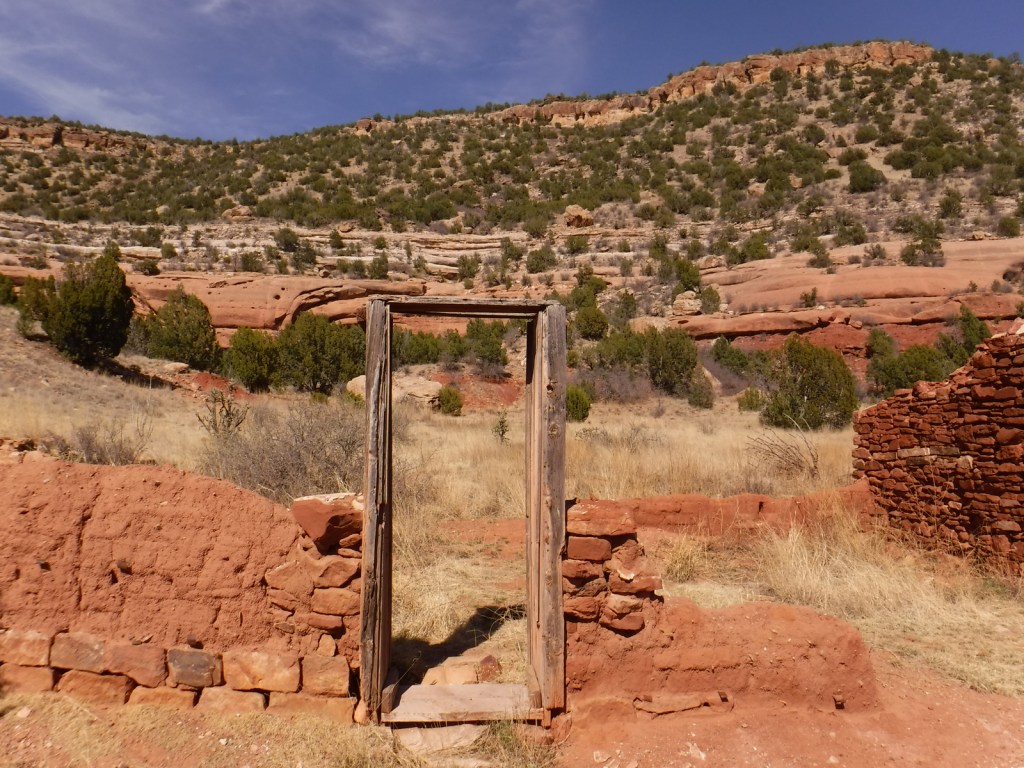
Melvin Mills (an attorney, territorial legislator, and entrepreneur) established the Mills Orchard and Ranch along the Canadian River in 1881.  Flash flooding devastated the orchard in 1904, leading to the ranch’s abandonment a decade later.  In 2005, the U.S. Forest Service and National Park Service collaborated to restore three ranch buildings, and for their efforts they won the Windows on the Past Award for historic preservation.  There are also interpretive signs and a free campground at the bottom of Mills Canyon, located nine miles down unpaved Mills Canyon Road.

Best Trail

A three-mile stretch of the Santa Fe National Historic Trail’s Cimarron Route is marked by rock posts 17 miles north of Clayton, and it is open for walking and horseback riding.  There are interpretive signs along the route and wagon ruts remain visible. 

Watchable Wildlife

An introduced herd of Barbary sheep are thriving in the Mills Canyon area.  The Canadian River supports largemouth bass and channel catfish.  Nomadic Naturalists blog reported seeing swift foxes, spiny softshell turtles, black-chinned sparrows, and pinyon jays on their visit.

Photographic Opportunity

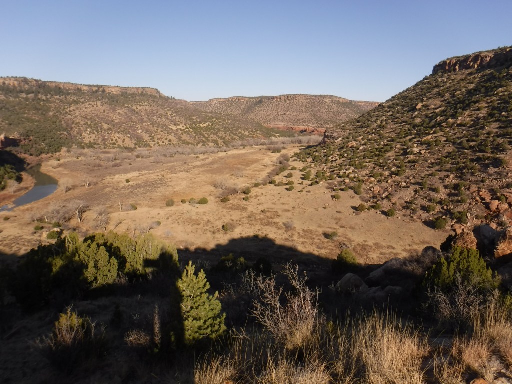
Mills Canyon was cut by the Canadian River through sedimentary rocks ranging in age from 200-million to 90-million years old. 

Peak Season

Summer

Fees

None

Road Conditions

Past Mills Canyon Rim Campground, the unpaved Mills Canyon Road #600 is not recommended for trailers or passenger vehicles as it switchbacks down into Mills Canyon.  A high-clearance vehicle is also recommended for the two-track paralleling the Santa Fe National Historic Trail’s Cimarron Route.

Camping

Both the Mills Canyon Rim Campground (6 campsites) and Mills Canyon Campground (12 sites) are free with vault toilets, but no water.  Dispersed camping is allowed in the eastern unit around the Santa Fe National Historic Trail.

Related Sites

Cimarron National Grassland (Kansas)

Bent’s Old Fort National Historic Site (Colorado)

Comanche National Grassland (Colorado)

Fort Union National Monument (New Mexico)

Nearest National Park

Great Sand Dunes

Explore More – As an attorney, Melvin Mills’ work often involved outlaws, American Indians, and politicians; who saved his life when he was nearly hanged by an angry mob?