Overview
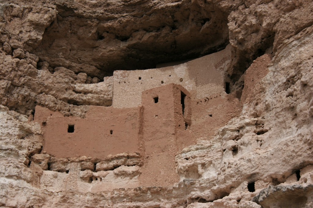
Central Arizona’s Montezuma Castle was one of the first four National Monuments established by President Theodore Roosevelt in 1906. Conveniently accessible just off Interstate 17 on the way to Sedona or the Grand Canyon, it is a great place to stretch your legs after the 90-minute car ride from Phoenix. Located in the scenic Verde River Valley, it is one of several sites related to the Sinagua people managed by the National Park Service (also see Walnut Canyon, Tuzigoot, and Wupatki).

Highlights
Cliff dwelling, Montezuma Well
Must-Do Activity
Protected in a cliff recess above Beaver Creek, the five-story tall ruin is not accessible to tourists and can only be viewed from below. Its name “Montezuma” refers to the mistaken belief that it was somehow connected to the Aztec Empire of Mexico, but its inhabitants had more in common with the Sinagua people living in around Arizona in the 1400s. Continue on the paved walkway to the ground-level ruins of Castle A and views of Beaver Creek.
Best Trail
To investigate a separate unit of Montezuma Castle National Monument, drive 11 miles north to Montezuma Well, a limestone sinkhole filled by a natural spring that produces 1.5-millions gallons of 74°F water daily. The trail is only a half-mile long loop, but it is worth the trip to see the historic irrigation ditches and the 55-foot deep sinkhole.
Instagram-worthy Photo
It is unclear why the Sinagua people abandoned the cliff dwelling around 1425, but it may have been due to disease, drought, or climate change. There were 35 to 50 inhabitants of Montezuma Castle and even more at Castle A, which had approximately 50 rooms.
Peak Season
Summer
Hours
https://www.nps.gov/moca/planyourvisit/hours.htm
Fees
$10 per person or America the Beautiful pass; Montezuma Well is free
Road Conditions
Access roads are paved.
Camping
There is no campground at the National Monument, but many located within massive Coconino National Forest, which also allows dispersed camping.
Related Sites
Tuzigoot National Monument (Arizona)
Tonto National Monument (Arizona)
Sunset Crater Volcano National Monument (Arizona)
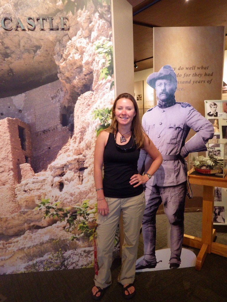
Tiff with Teddy Roosevelt 
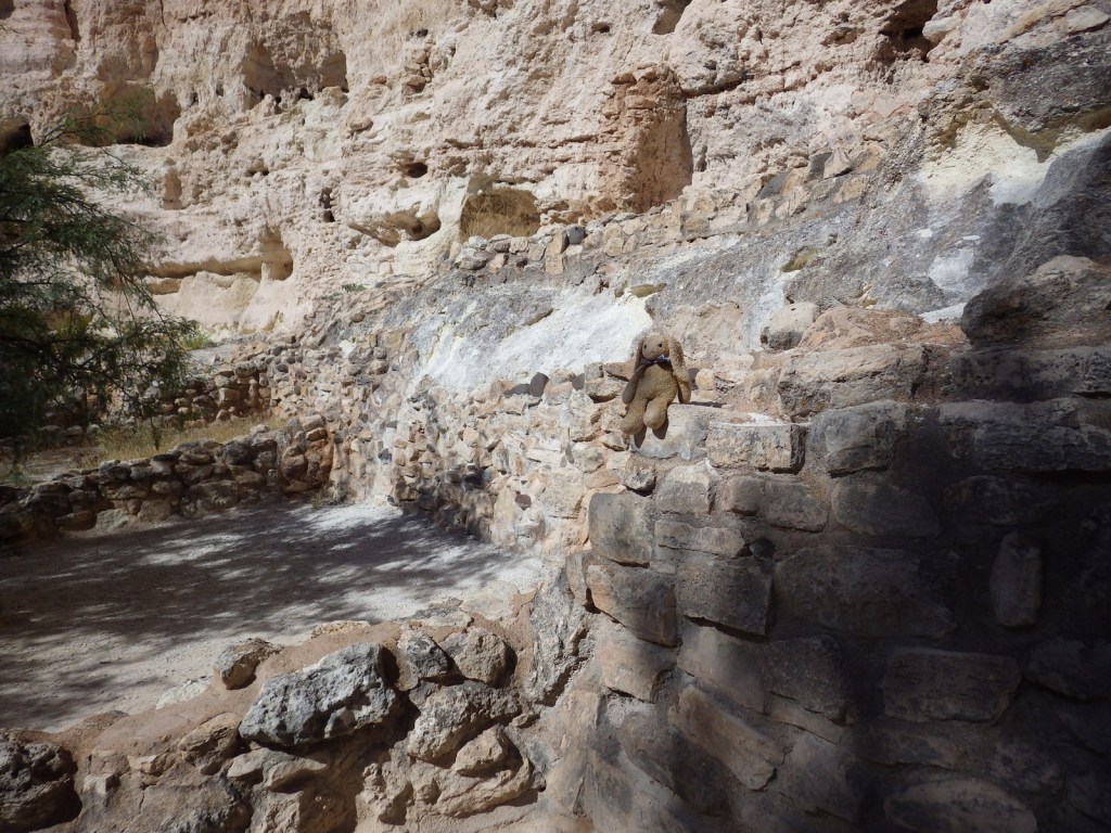
Ruins at Castle A 
Tiff with a sycamore tree 
Beaver Creek in October 
Beaver Creek in March 
Tiff in 2006 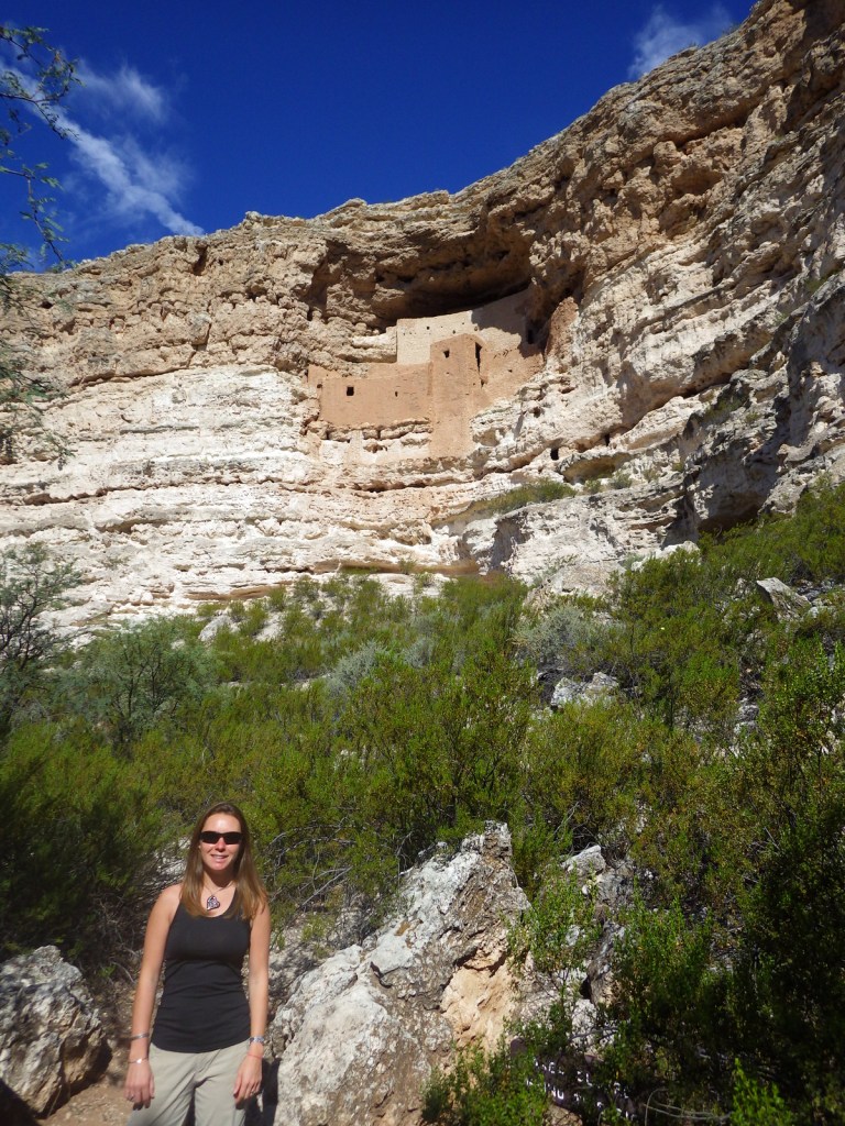
Tiff in 2014 
Sycamore bark 
Sycamore tree 
Montezuma Well
Explore More – In what year did the National Park Service stop allowing visitors to climb ladders to walk inside Montezuma Castle?