Overview
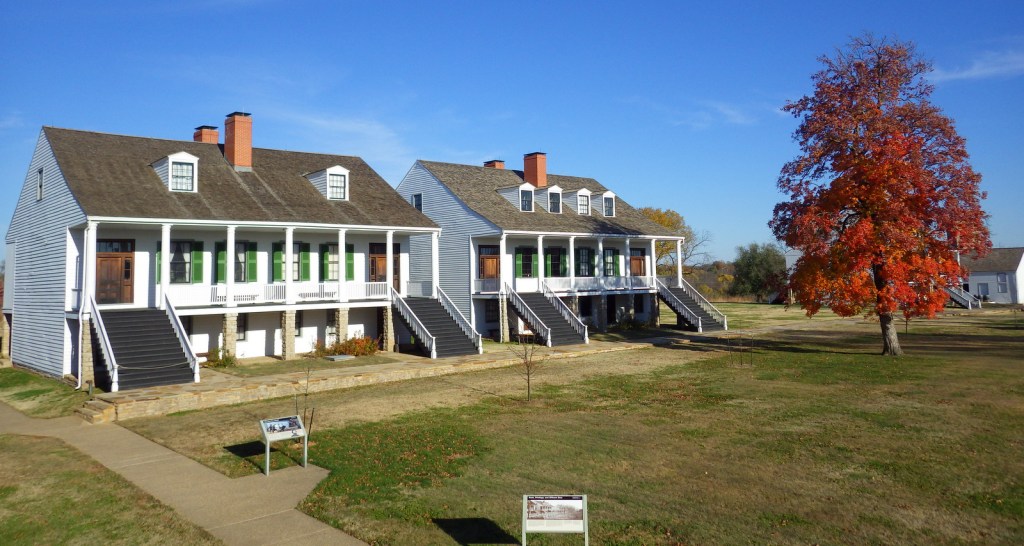
In a suburb of St. Louis, Missouri is the antebellum plantation (White Haven) of Ulysses S. Grant. Following his graduation from West Point in 1843, Lieutenant Grant was stationed at nearby Jefferson Barracks. It was while visiting his former roommate at White Haven that he met Fred Dent’s sister, Julia. Grant would eventually marry her and together they raised their children here from 1854-59, following his resignation from the U.S. Army. The family intended to return to the plantation following the Civil War, but Grant’s two terms as President did not allow that to happen.

Highlights
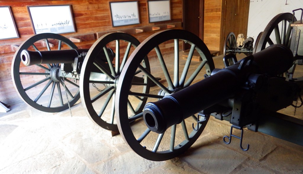
Museum, film, historic house, cannons
Must-Do Activity
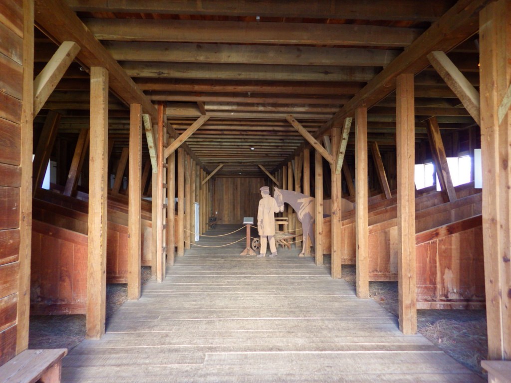
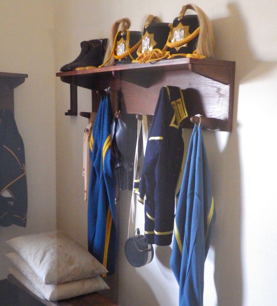
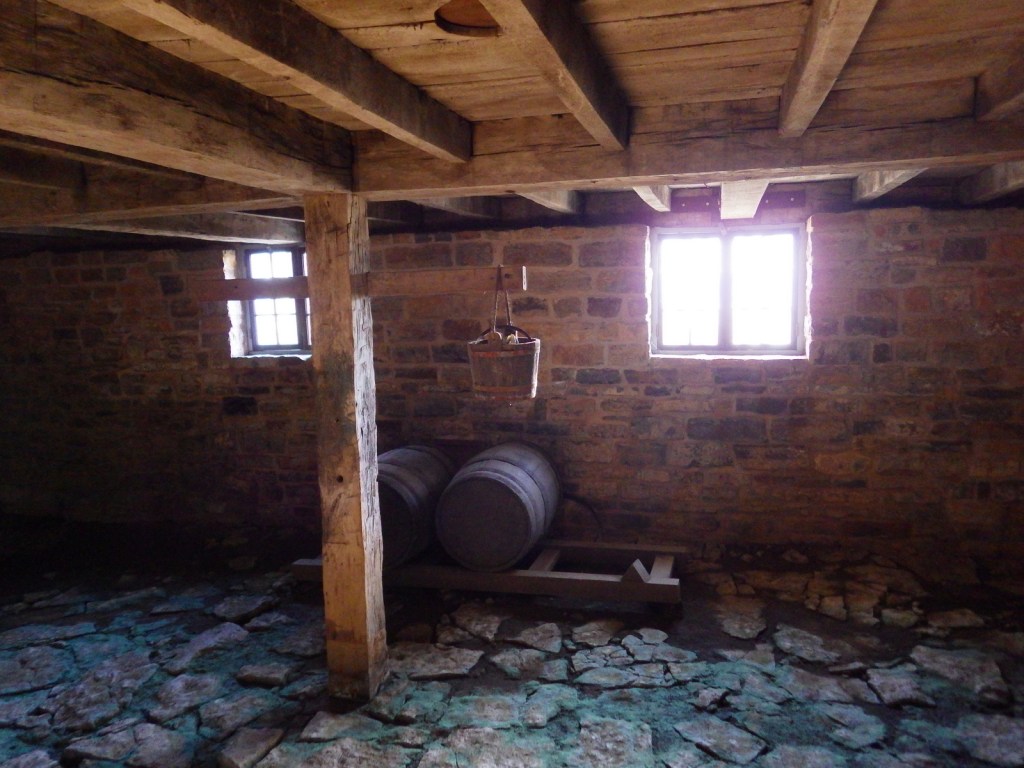
A thorough museum housed in the former horse stables provides days’ worth of reading on this controversial General and President. Opposing arguments are posted around the stables allowing visitors to answer tough questions like, Was Grant a butcher? and Was Grant a corrupt politician? Access inside the house requires a free guided tour given regularly throughout the day by National Park Service (NPS) rangers.
Best Trail
There is a short walking tour on the ten-acre NPS property. The neighboring wildlife park named Grant’s Farm (admission fee) contains a log cabin built by Grant in 1855.
Instagram-worthy Photo
During our visit in early April, the redbud trees were in bloom. Plus, there are cannons to pose with.

Peak Season
Summer
Hours
https://www.nps.gov/ulsg/planyourvisit/basicinfo.htm
Fees
None, but a free guided tour (tickets required) is the only way to enter the main house
Road Conditions
All roads paved
Camping
None at the site, but several private campgrounds nearby.
Related Sites
General Grant National Memorial (New York)
Ozark National Scenic Riverways (Missouri)
Gateway Arch National Park (Missouri)


They converted the old horse stables into the museum 
Inside the museum 

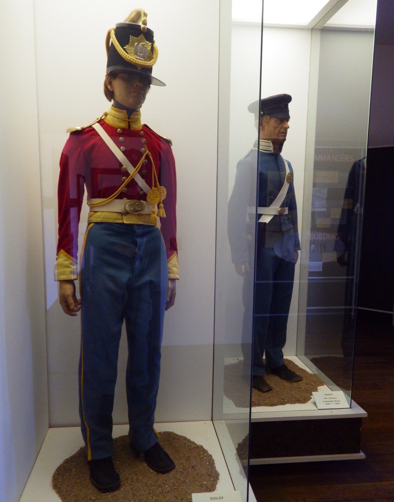
Tiff dressed in period gear 

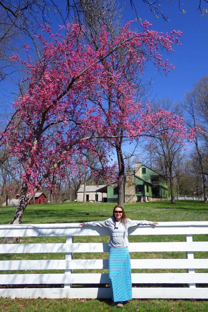
Tiff under a blooming redbud tree
Explore More – Did the family have slaves at White Haven?