Today we had our first ever article published in the Wyoming Tribune-Eagle, the local daily in our hometown of Cheyenne, Wyoming. It talks about our recent travels across the U.S.A. hiking in all 155 National Forests! Here is the link and the entire article:
Local author close to hiking in all 155 National Forests
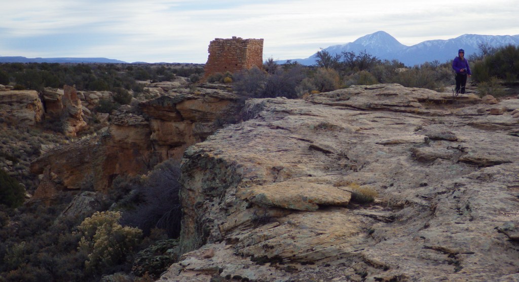
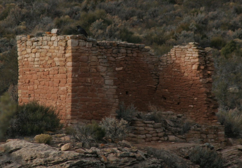
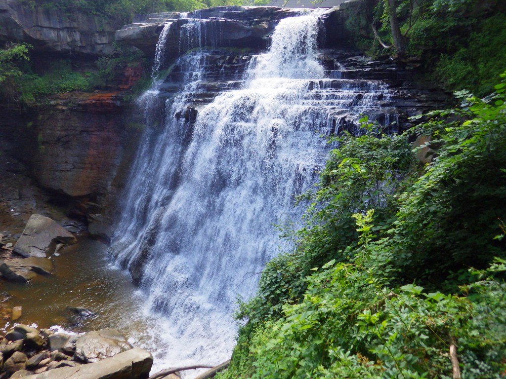
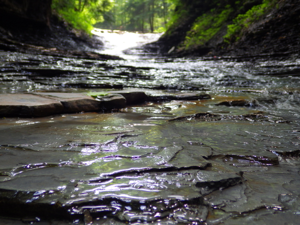
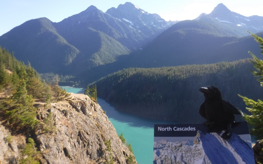
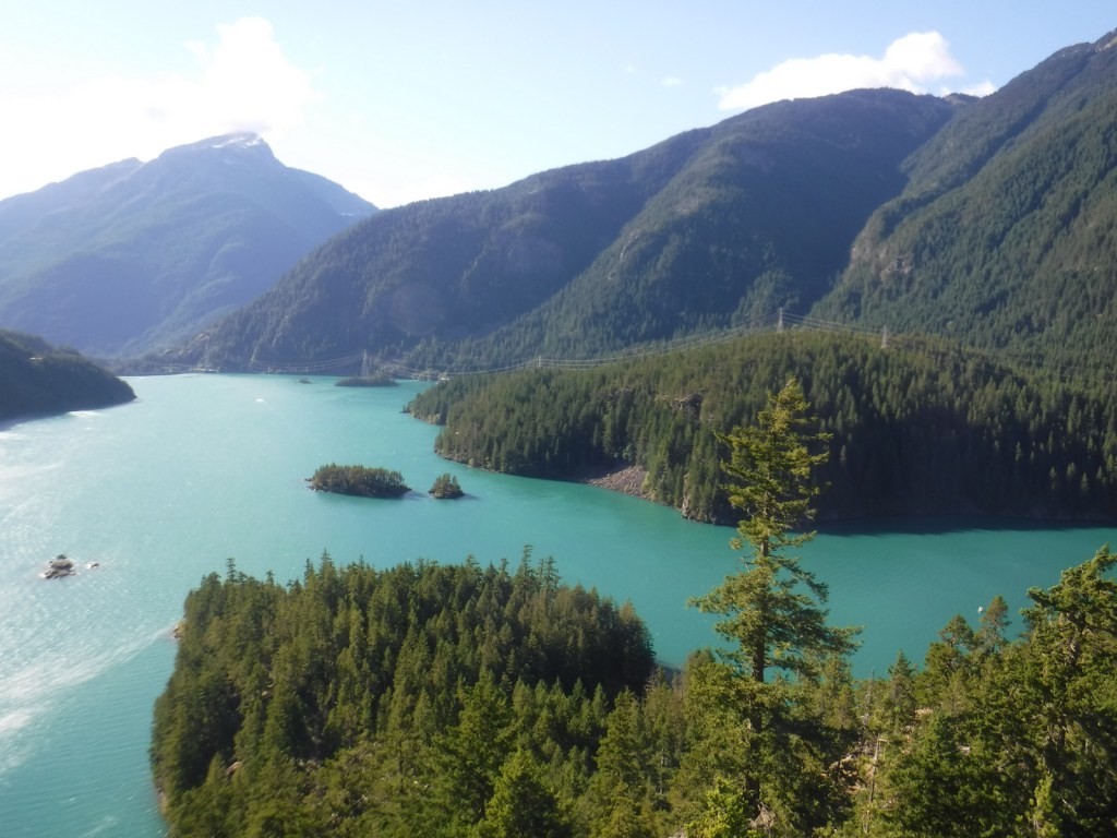
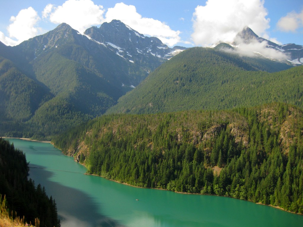
We stopped to catch our breath after coming over 11,115-foot Lester Pass in the Wind River Range, when we heard a soft, mournful wail from our left. My wife and I came to an abrupt stop, looked at each other wide-eyed as new voices joined with the first – wolves howling in the faint light diffused by leaden skies. Sound carried far in the treeless alpine bowl and we determined the wolves were a mile away behind a rocky ridge. They soon quieted, but not before awakening awe to the untrammeled beauty surrounding us. This experience was one of many that we had while backpacking for eight days in Wyoming’s Bridger National Forest and reinforced why we seek out wild places.
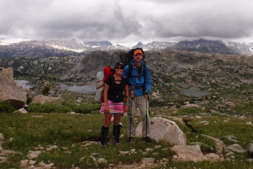
That was in the summer of 2020 when a global pandemic had us (and many others) looking for places to vacation far from crowds. We had previously discussed visiting all 155 National Forests in the U.S.A. and figured now would be a good time to start seriously pursuing that goal. Some of our favorite memories as a couple were hiking and camping in these publicly owned lands. After all, our first date was in Arizona’s Coronado National Forest and it was love at first hike. In 2009, we returned to that trail for our wedding ceremony. My wife, Tiff, was still working full-time at Cheyenne Regional Medical Center, so she would not be able to accompany me to all 40 states that have National Forests, but I could complete the mission with some help from my recently retired mother.
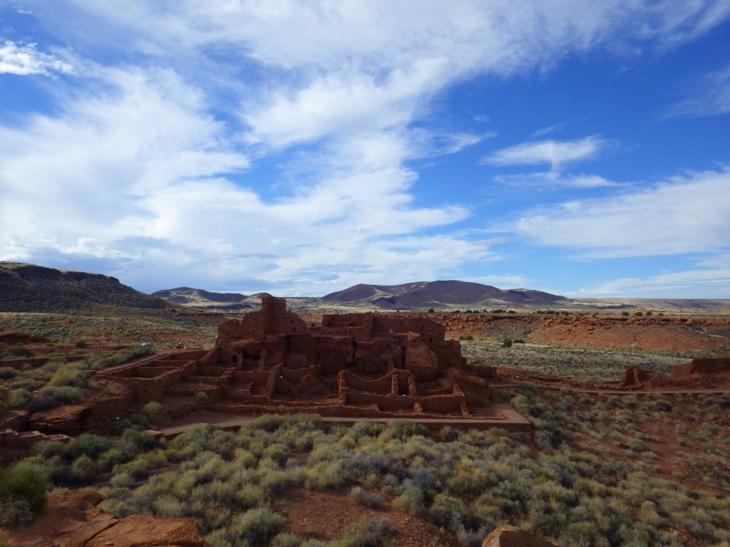
Up to 2020 our travels mainly focused on exploring 367 of the 423 units in the National Park Service (NPS) system. We created a travel website (RavenAboutTheParks.com) about NPS sites and published a guidebook focused on the value of seeking solitude in the National Parks. It is much easier to find space in National Forests, which are less crowded and less regulated. To this day, my beloved mother still doesn’t know the difference between a National Park and a National Forest, so part of our motivation was to bring our love of the forests and their history to others.
History
The U.S. Forest Service was established in 1905 during the Theodore Roosevelt administration, and his good friend and fellow conservationist Gifford Pinchot was named the agency’s first head. Their aim was to protect federal lands from unlawful timber cutting and bring the millions of acres of Forest Reserves into one cohesive system. Yellowstone Park Timberland Reserve in northwest Wyoming was the first established in 1891. It was divided and renamed on numerous occasions and now goes by Shoshone National Forest.
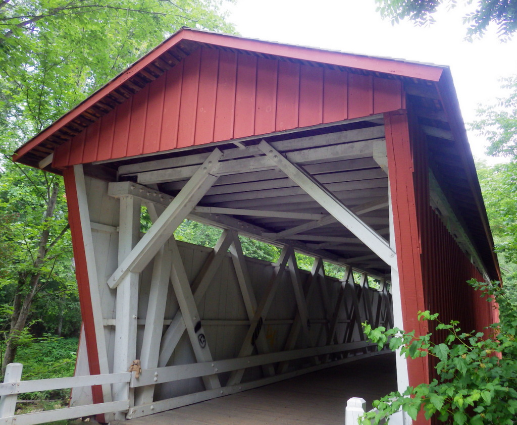
Even though they share a designation, National Forests are extremely diverse in the ecosystems they protect and the ways they’re managed. Tonto National Forest in Arizona is primarily desert with more cacti than trees. Delta National Forest in Mississippi is flooded most of the year to provide wildlife habitat. Many forests have private inholdings within their boundaries, and some, like South Carolina’s Sumter National Forest, include more private acreage than federal. Timber harvesting is still a major component of some National Forests, but has mostly disappeared in other regions.
In contrast to the NPS, National Forests are managed by the U.S. Forest Service in the Department of Agriculture, not the Department of Interior. They offer much more freedom for hunting, dispersed camping, driving ATVs, fishing, and other outdoor activities. Additionally, there is no admission fee to enter a National Forest, except at developed campgrounds, some busy trailheads, and a few scenic drives. Even there you can typically use your annual America the Beautiful Pass to cover the day-use fee; plus, Senior, Military, and Access Passes give a 50% discount on campsites.

Our Objectives
In addition to creating memories like the one described above in the Wind Rivers, our major objective of visiting all 155 National Forests is to publish a guidebook. Each forest will get its own chapter with a brief overview, name origin, list of popular spots, and description of nearby points of interest. We will also highlight one tree species and a hiking trail that will give readers a good introduction to what that National Forest is all about. I will even put my Ph.D. in forestry to good use by including pertinent information on ecology and dendrology.
Our first priority when deciding to hike in all the National Forests was to decide just how many there really are. To expedite management many forests were combined in the 1970s, like our own Medicine Bow-Routt National Forest. We considered those two different forests and even went so far as to split Idaho Pandhandle National Forest into its original three units to add up to 155 forests. Unlike some lists, we did not include Lake Tahoe Basin Management Area, Land Between the Lakes National Recreation Area, nor the 20 National Grasslands that are also managed by the U.S. Forest Service.
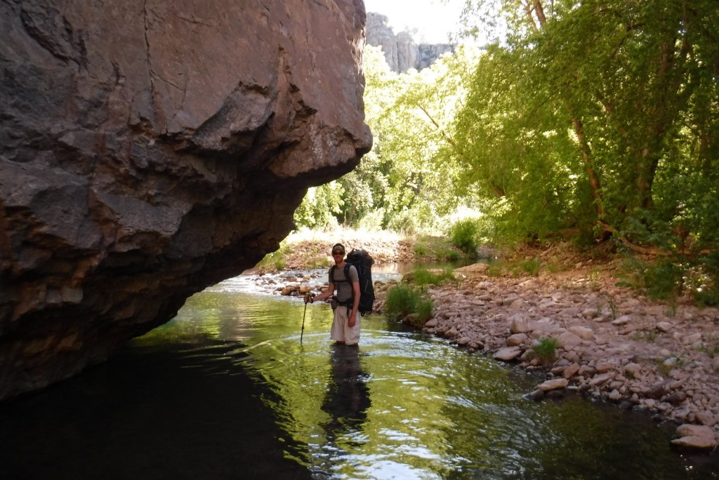
At the start of our efforts we determined that we already had hiked and traveled enough to write about 55 National Forests in places we previously lived, including Alaska, Arizona, California, North Carolina, and Wyoming. That left 100 more to go. Of course, that did not stop us from returning to a few favorites along the way, like Black Hills, Bridger, Gila, Medicine Bow, Nebraska, and Roosevelt National Forests.
Our Journey
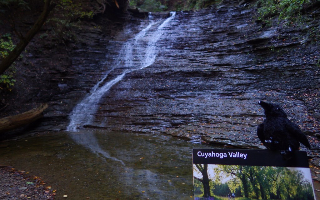
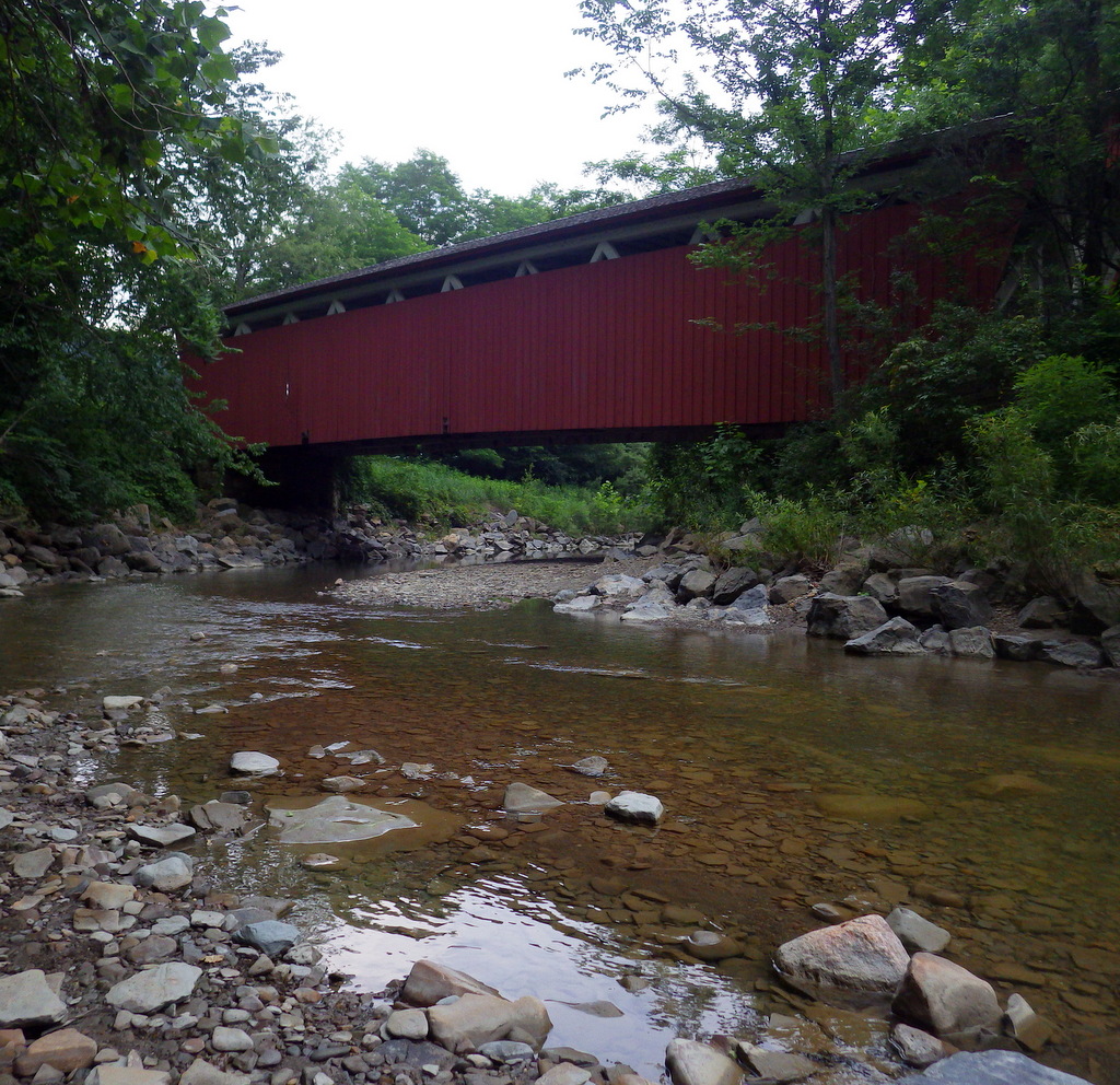
On August 17, 2020, my adventurous 68-year-old mother and I embarked on a four-week camping trip along the west coast to hike in 31 National Forests. In April 2021, we got together again to drive 10,000 miles from Texas to New Hampshire visiting another 34 forests. My wife and I have made shorter trips throughout the past year, including a recent two-week jaunt through Minnesota, Wisconsin, and Michigan, to bring our current total to 152 National Forests, three short of our goal.
Due to wildfires, we were unable to enter California’s Angeles and Mendocino National Forests last summer. Dodging fires has been a major hurdle throughout our journey and we have had to change plans to avoid closed areas. We are currently planning to drive to California in mid-November and have tickets to fly to Puerto Rico to visit El Yunque National Forest in early December.
While we often discuss our National Forests by number, we do not aim to “collect” them, but rather to have the unique experiences that only they can provide. We hope to lay the foundation for exploration so more people can go to the forests and have amazing experiences. After all, memories last longer the sooner they are made.
We will continue to share our journey through these last three National Forests over the next few weeks.
—
Also, check out our just released coloring book: A Page to Yourself: Color and Discover America’s National Parks

We are a participant in the Amazon Services LLC Associates Program, an affiliate advertising program designed to provide a means for us to earn fees by linking to Amazon.com and affiliated sites.