Berryessa Snow Mountain National Monument
California
Managed by U.S. Forest Service and Bureau of Land Management
Established 2015
344,476 acres
Overview
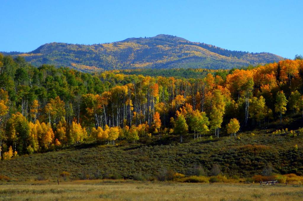
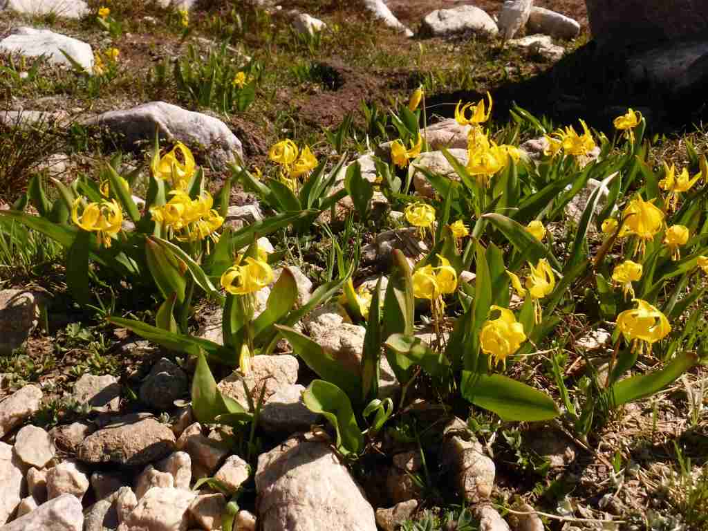
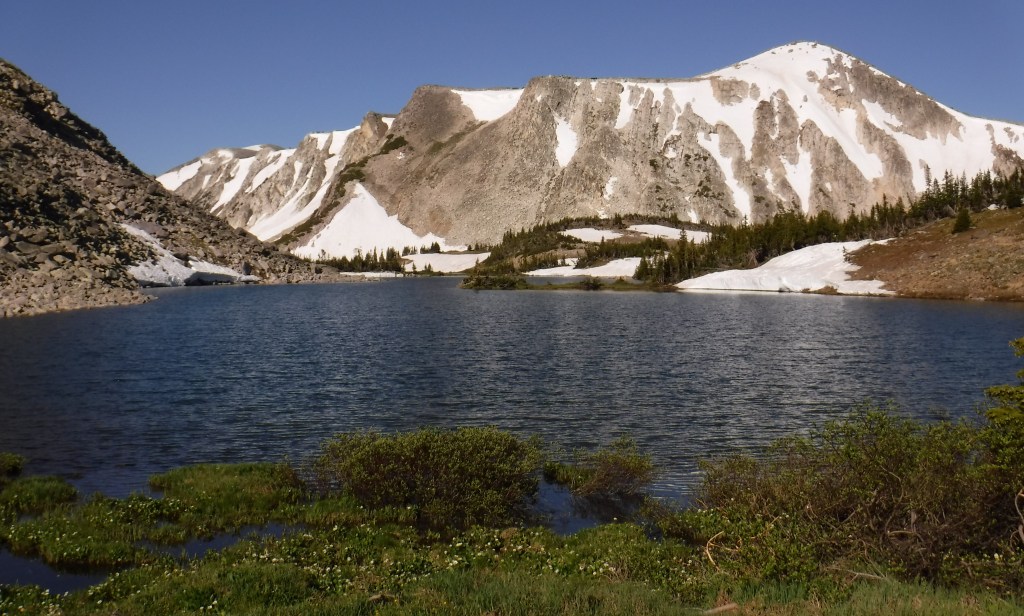
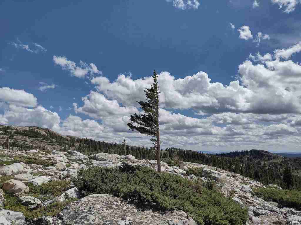
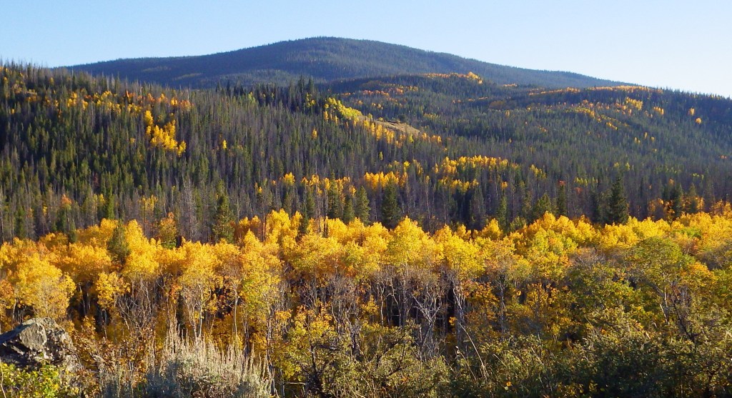
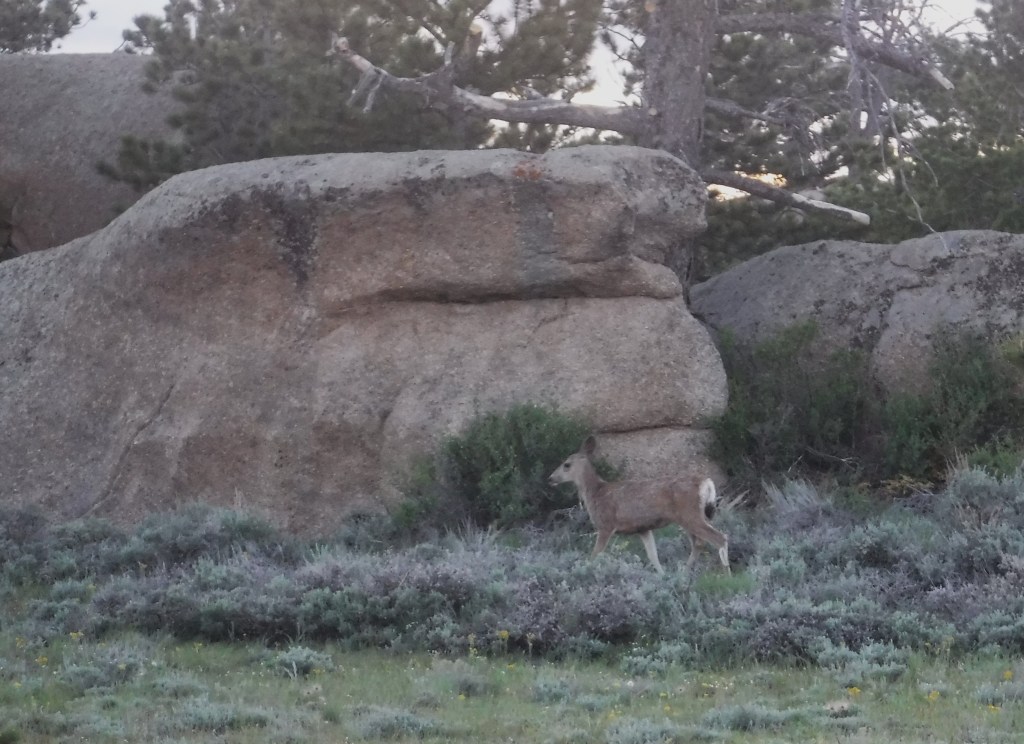
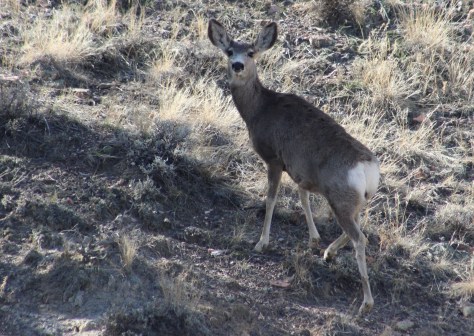
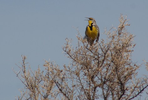
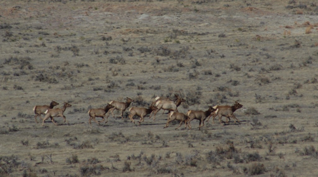
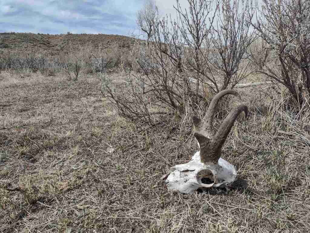
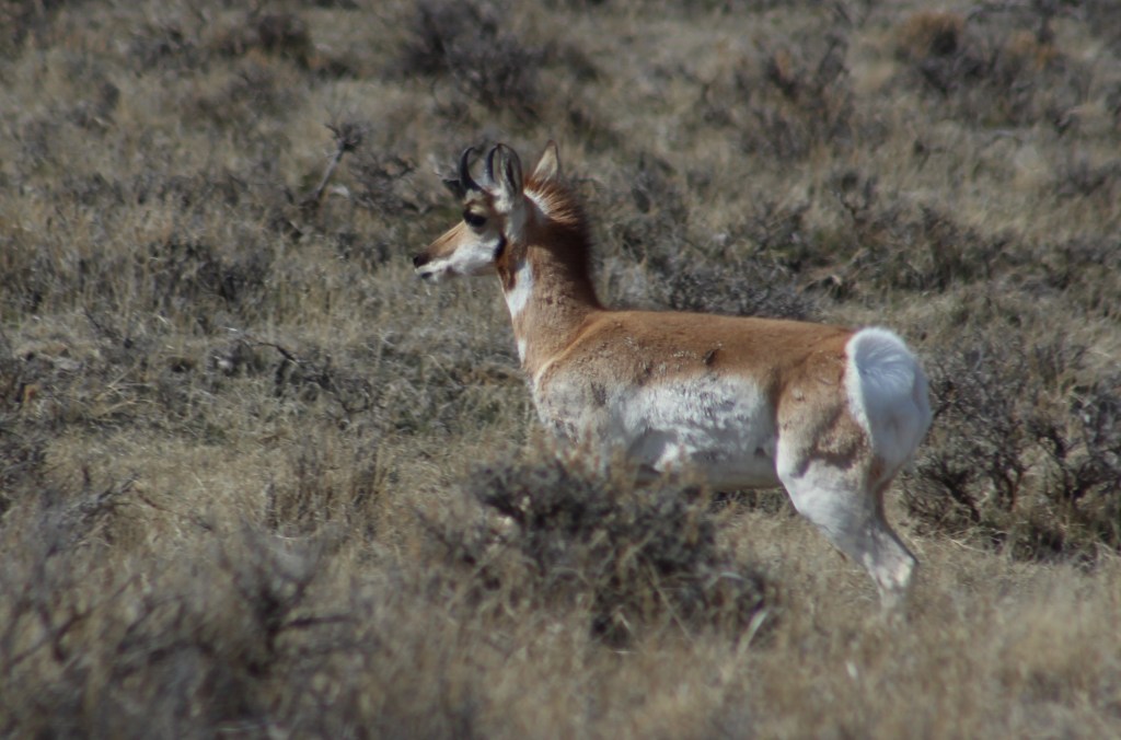
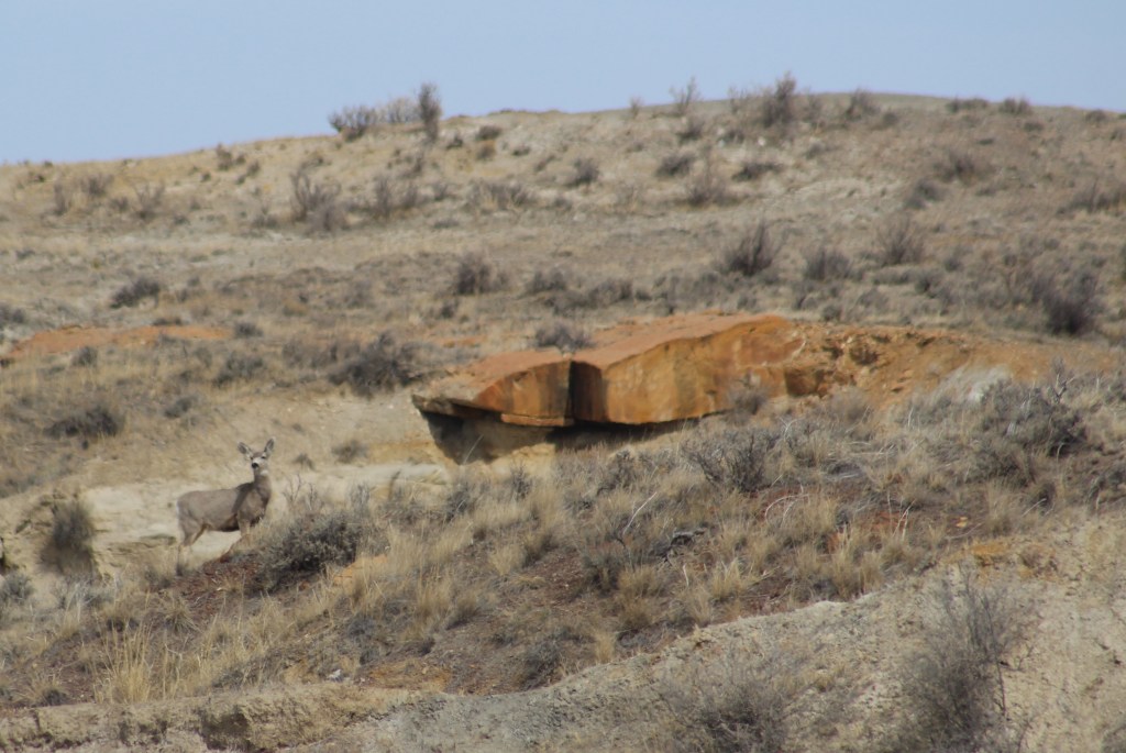
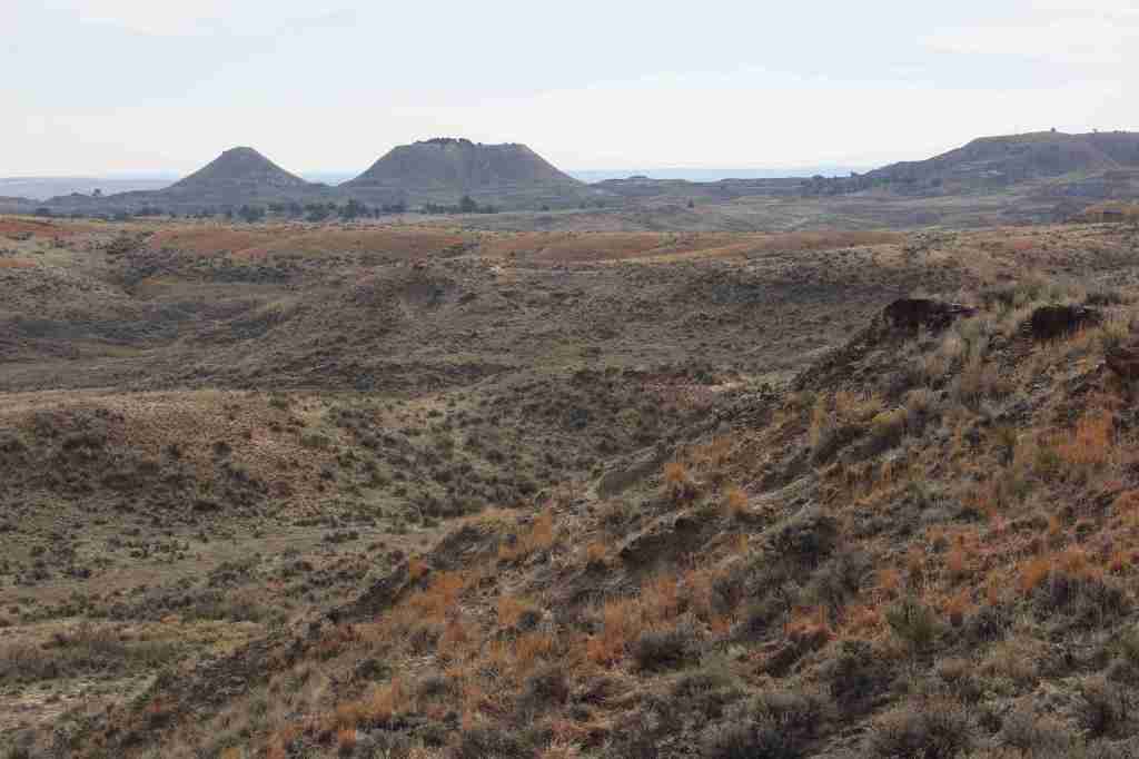
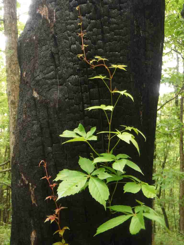
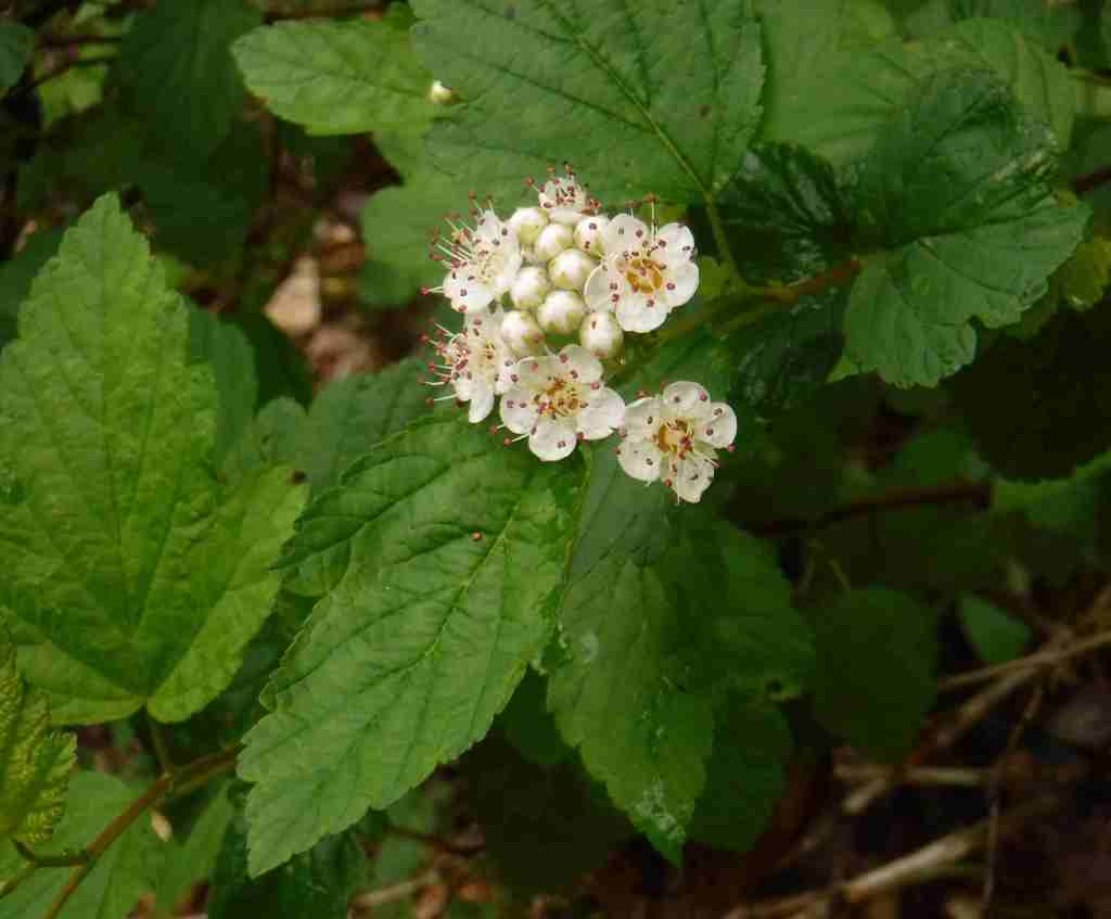
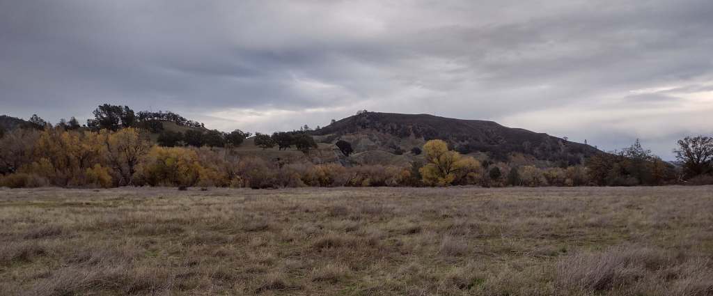
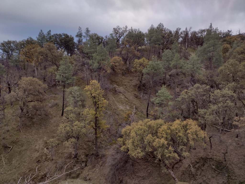
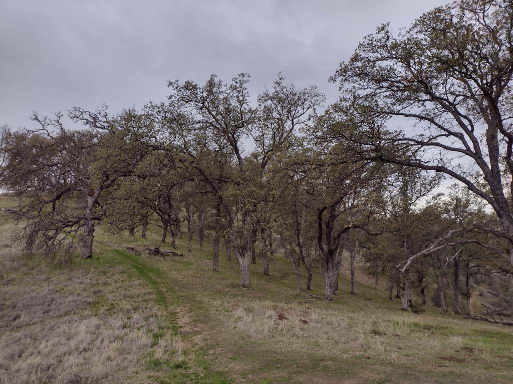
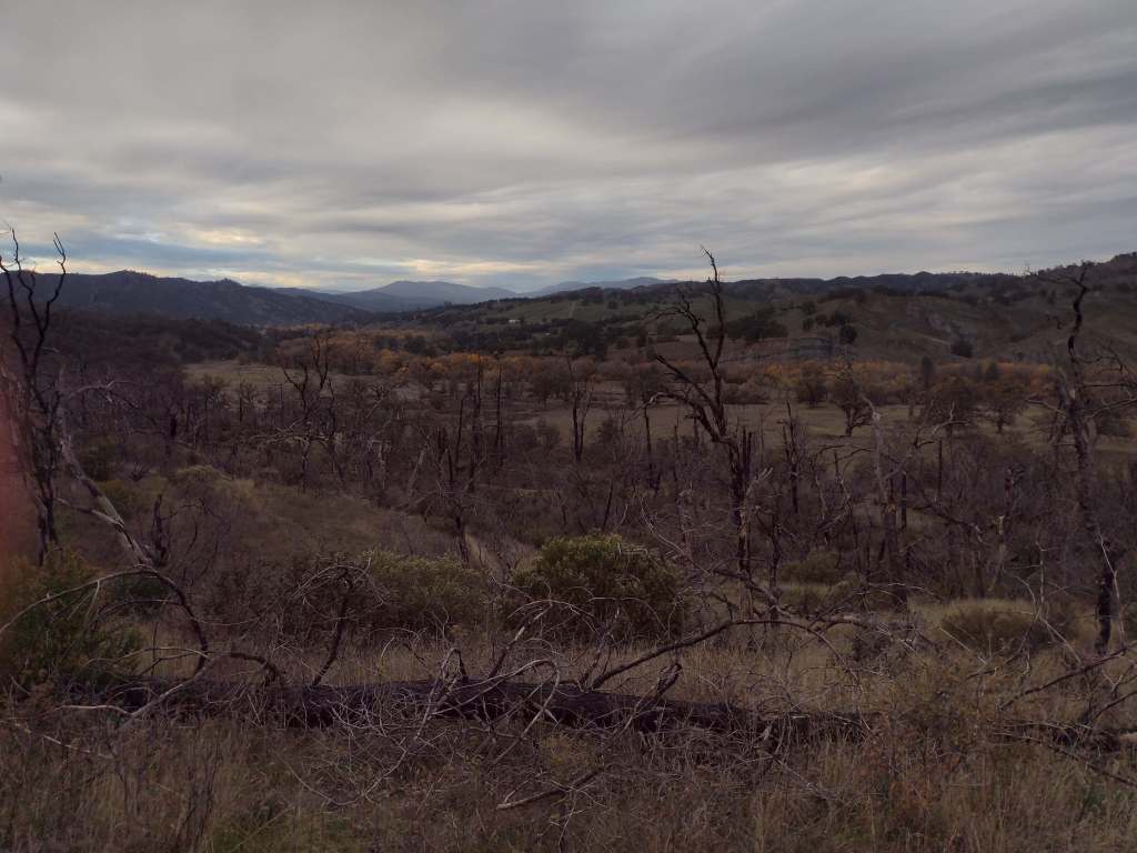
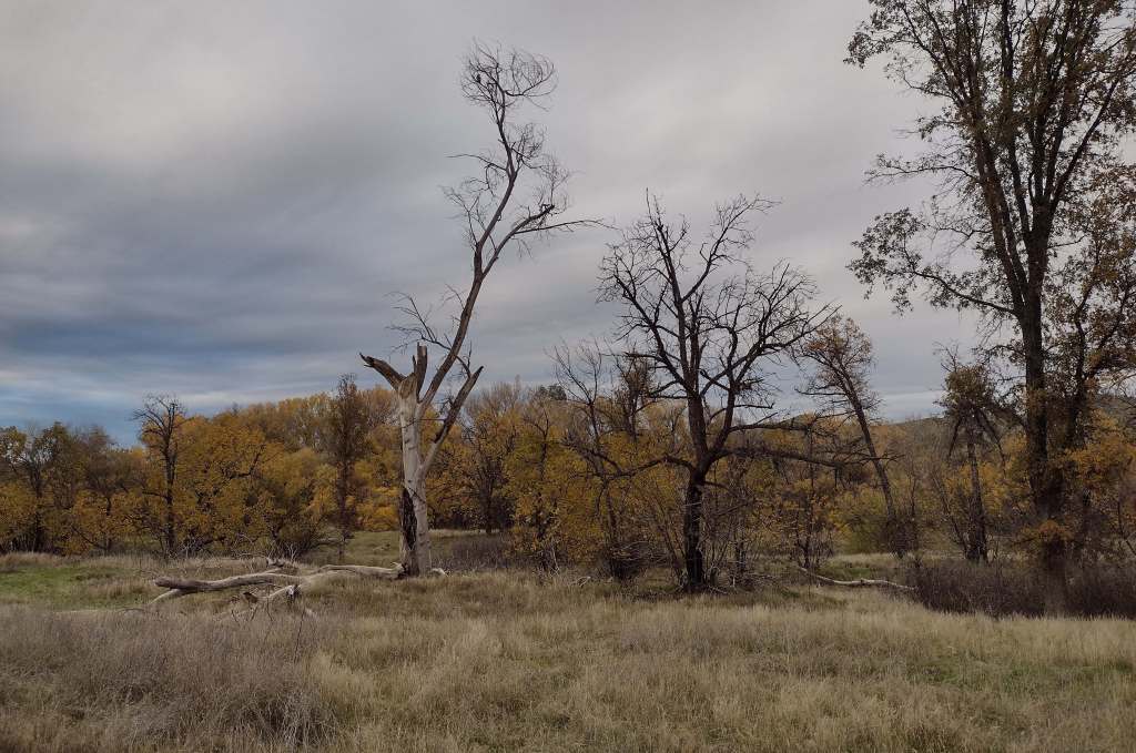
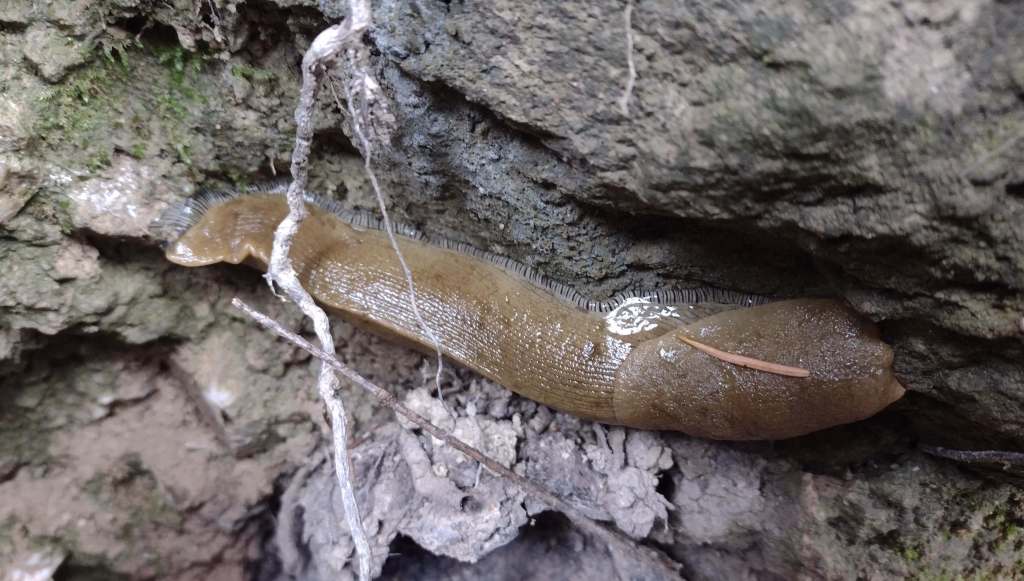
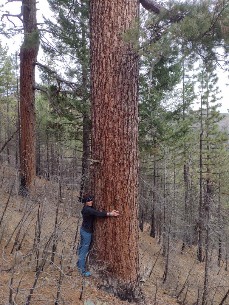
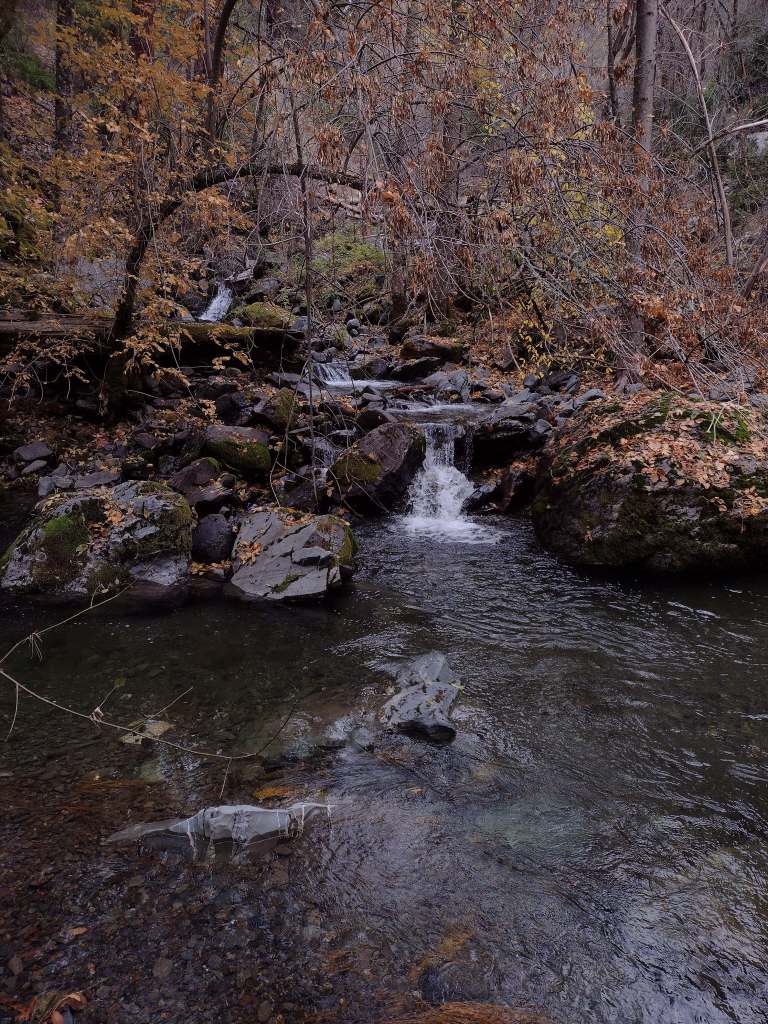
North of the San Francisco Bay and west of Interstate 5, flat-topped 7,056-foot Snow Mountain sheds water into the Berryessa Valley and the Sacramento River. High elevations are dominated by conifers, while below there are oak-studded hillsides, canyons full of riparian trees, and rocky serpentine ridgelines where only specially adapted plants can tolerate the heavy metals in the soil. In 2024, the 13,696-acre Molok Luyuk (“Condor Ridge” in the Patwin language) was added to the National Monument since it contains evidence of human occupation dating back more than 10,000 years.
Know someone who loves exploring new National Monuments? Gift them our book Monumental America: Your Guide to All 138 National Monuments that is available for sale on Amazon.com.
Highlights
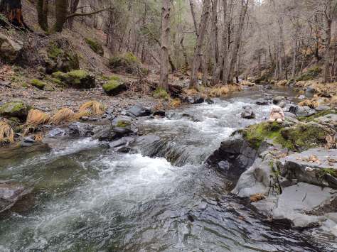
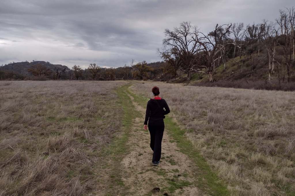
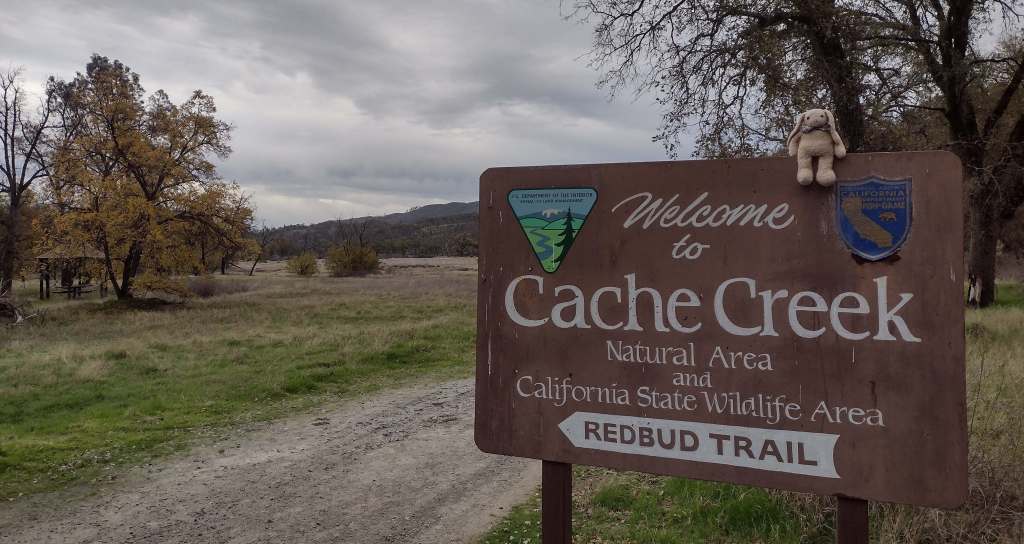
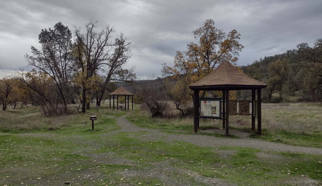
Cache Creek Wilderness, Knoxville Recreation Area, Nye Cabin, Prather Mill, Deafy Glade Trail, Redbud Trail
Must-Do Activity
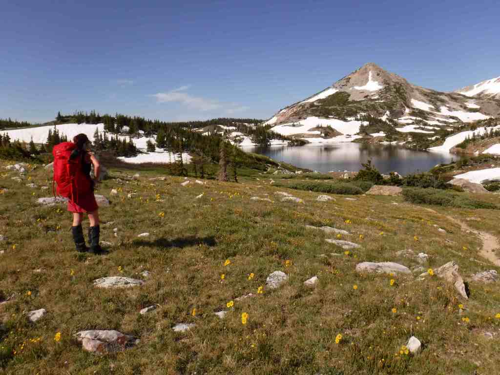
In the portion of the National Monument run by the Bureau of Land Management, Cache Creek Wilderness is one of the main attractions for whitewater rafting and backpacking. Redbud and Judge Davis Trailheads off paved Highway 20 provide the easiest access for hikers. Further south, Knoxville Recreation Area encompasses rugged terrain for exploration with off-highway vehicles (OHVs). The northern portion of Berryessa Snow Mountain National Monument within Mendocino National Forest has a network of dirt roads that are also popular with OHV riders. In the far north, Hull Mountain is utilized by hang gliders.
Best Trail
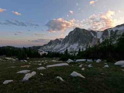
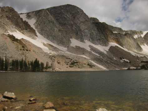
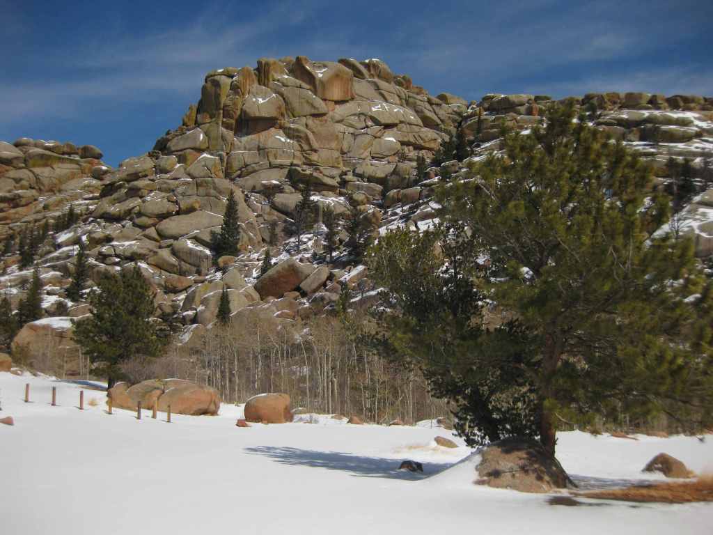
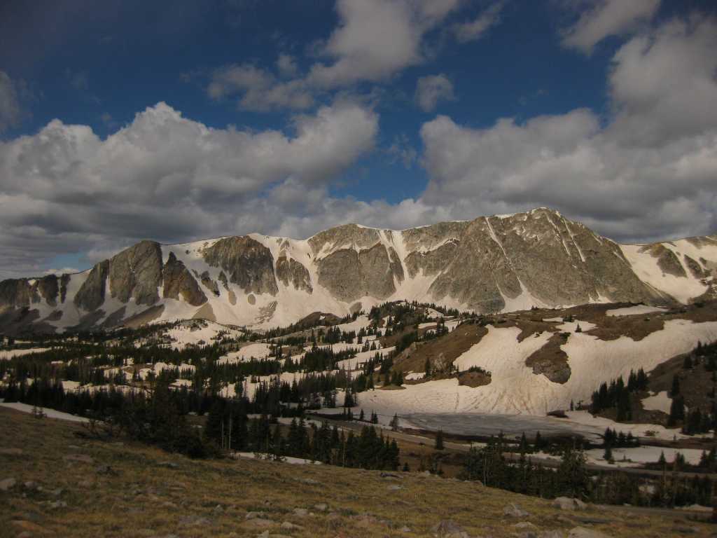
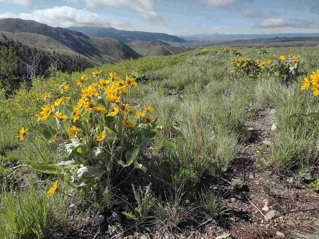
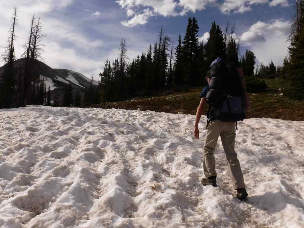
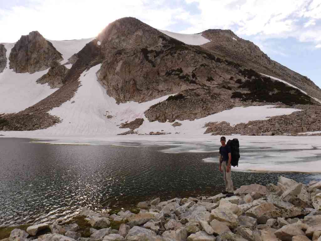
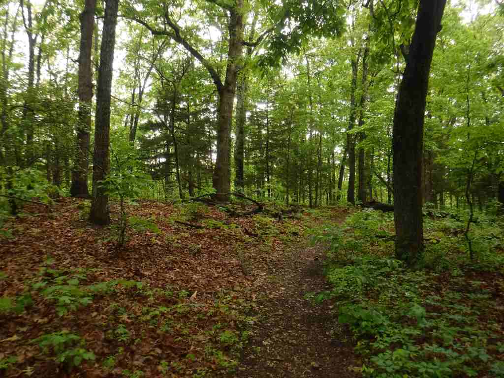
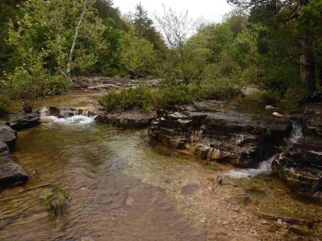
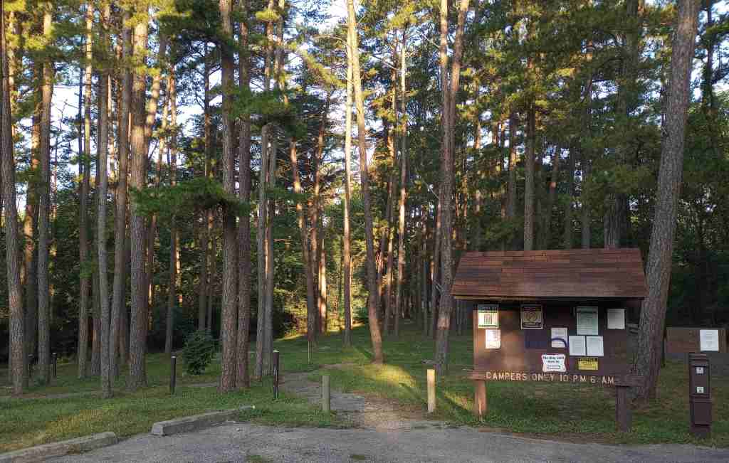
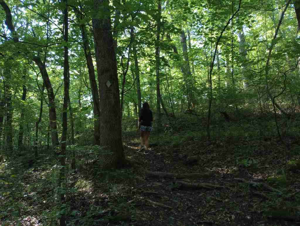
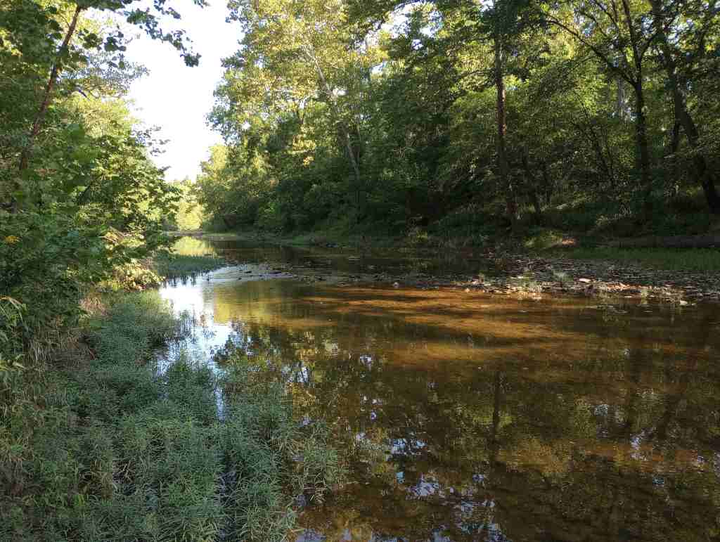
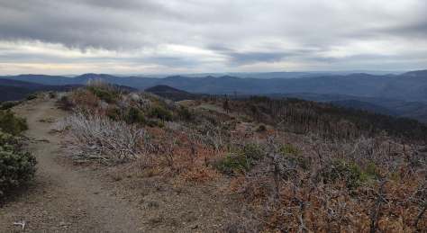
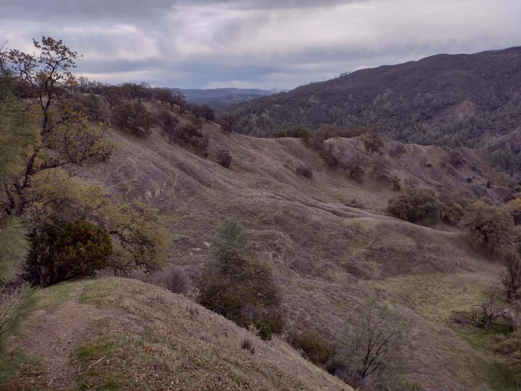
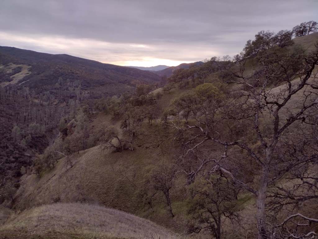
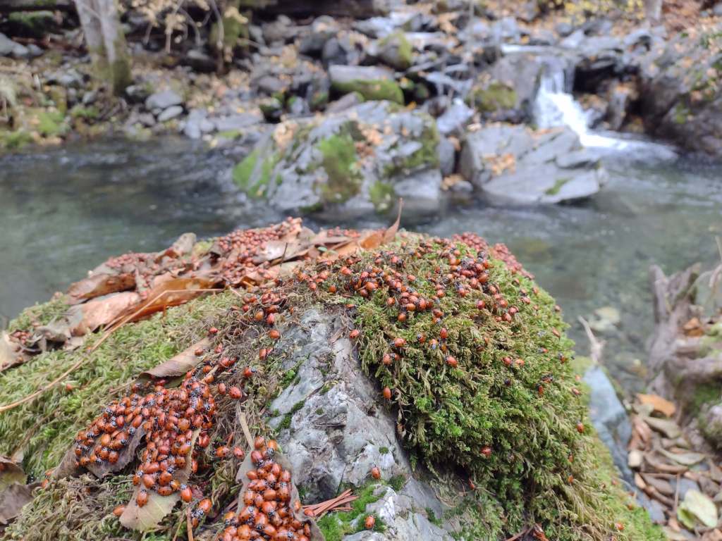
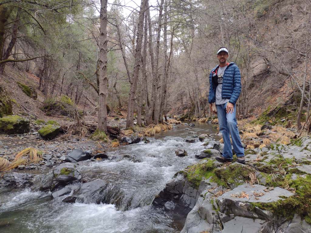
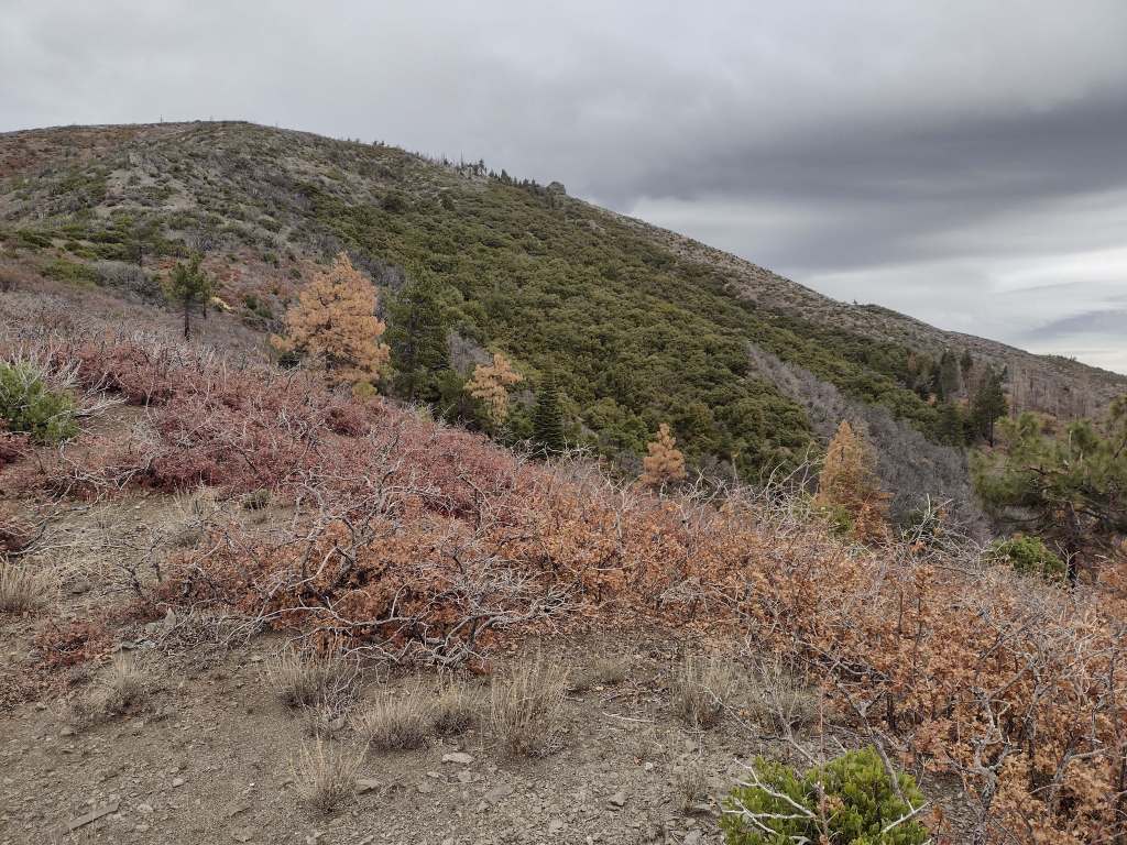
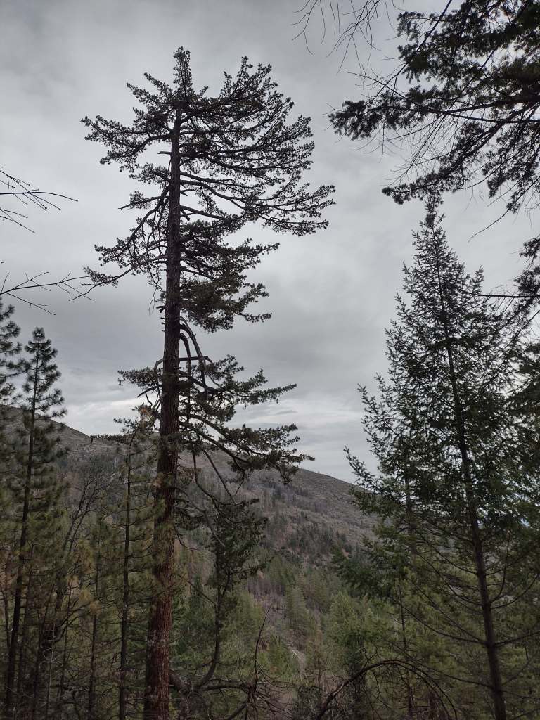
In Mendocino National Forest, Deafy Glade Trail starts at a tiny roadside pullout along Fouts Springs Road where campgrounds were full of RVs getting ready for a motorcycle event. Our hike took us far from any road noise, past congregations of lady bugs that numbered in the hundreds as we waded across the frigid South Fork of Stony Creek and climbed steeply to the boundary of the 60,076-acre Snow Mountain Wilderness. The trail continues to climb 4,300 feet total to the summit over the course of eight miles. It is half that length with only 2,000 feet of elevation gain from the west via Summit Trail, although the last 1.5 miles of the access road may be impassable to vehicles.
Photographic Opportunity
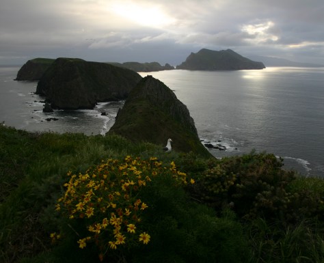
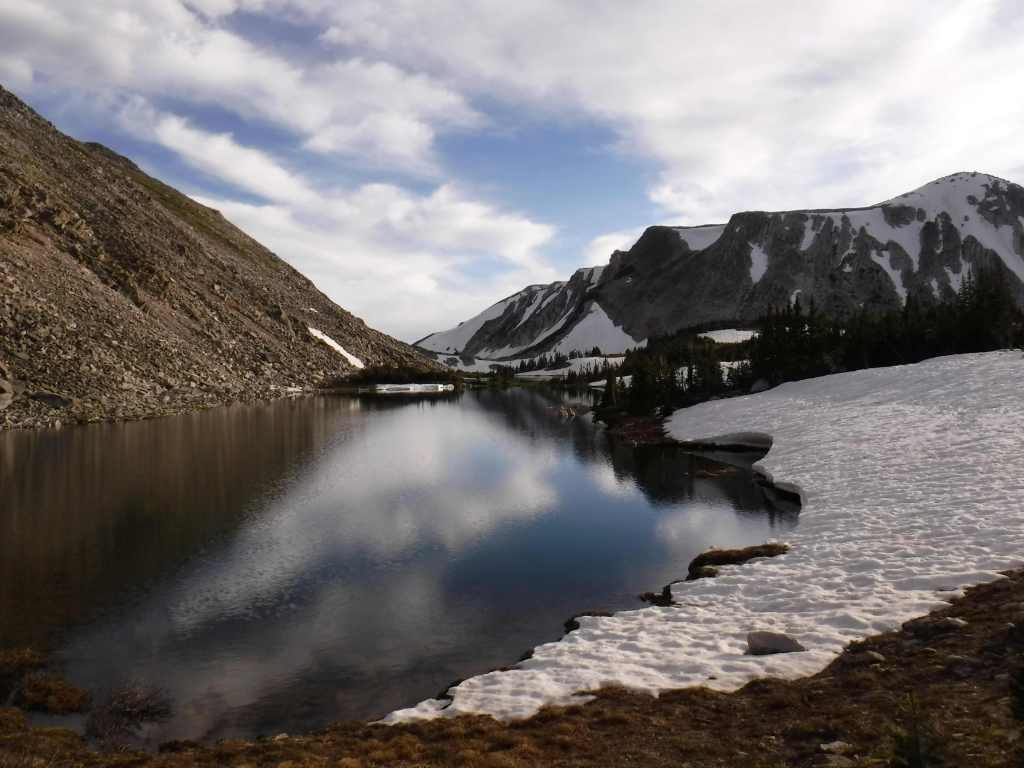
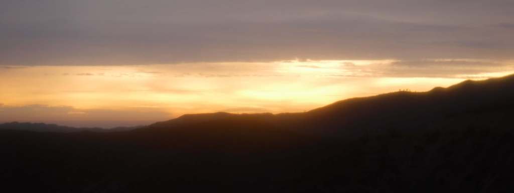
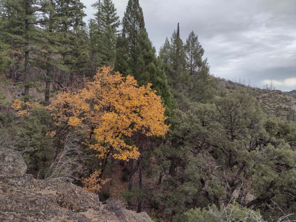
From our turnaround spot on Deafy Glade Trail we got great views of the Rice Valley.
Peak Season
Spring
Fees
None
Road Conditions
Fouts Springs Road (Forest Road M10) is a well-maintained gravel road that crosses the National Forest west of Stonyford. That area is popular with OHVs, so keep an eye out for them. Further south, Highway 20 is a paved route to trailheads in Berryessa Snow Mountain National Monument, but four-wheel-drive may be required to access Buck Island Campground. The new Molok Luyuk section northeast of Clear Lake is reached by the gravel Walker Ridge Road that requires a high-clearance vehicle.
Camping
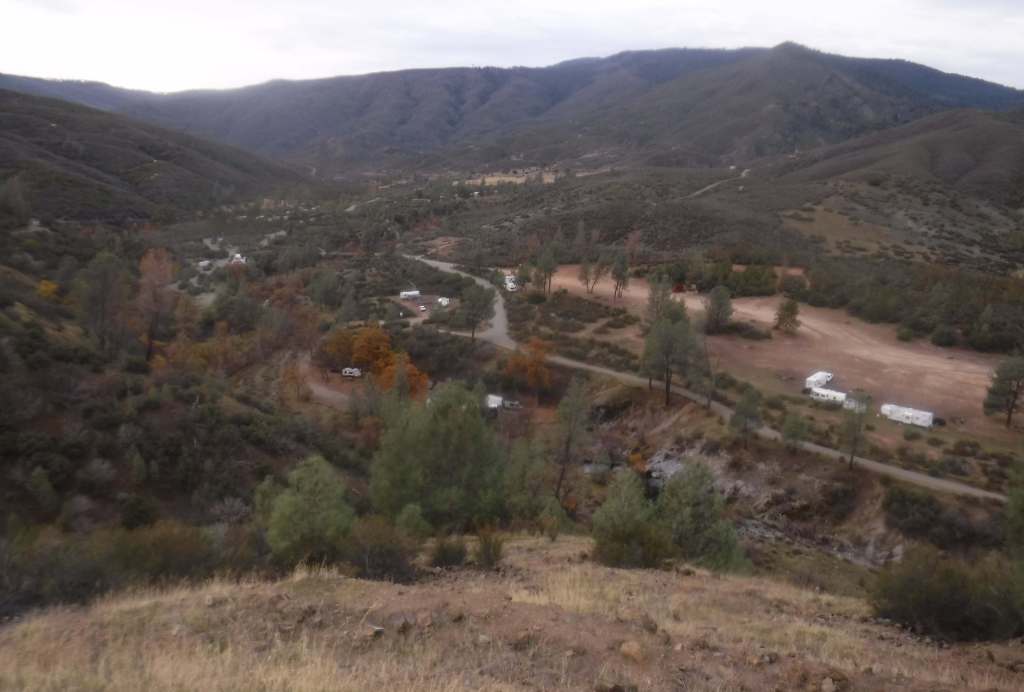
Mendocino National Forest manages Bear Creek Campground and Lower Nye Dispersed Campground, plus numerous others outside the National Monument boundaries. There are several campgrounds on Lake Berryessa, in addition to the ones at Clear Lake State Park and Cache Creek Canyon Regional Park.
Related Sites
Whiskeytown National Recreation Area (California)
Eldorado National Forest (California)
Muir Woods National Monument (California)
Nearest National Park

Explore More – How did the Berryessa Valley get its name?

Learn more about the other 137 National Monuments in our book Monumental America: Your Guide to All 138 National Monuments