Overview
Originally designated a National Monument in 1922, the area surrounding 13,063-foot Wheeler Peak became a National Park in 1986. This park is so remote that moonless nights offer some of the darkest skies you will see in your entire life. Plan to stay multiple nights to walk along the scenic Alpine Lakes Loop Trail, summit the peak, visit Lexington Arch, hike through a grove of ancient trees, and take a guided tour of Lehman Caves.
Highlights
Wheeler Peak Scenic Drive, Lehman Caves, Lexington Arch, bristlecone pine trees
Must-Do Activity
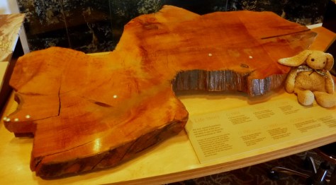
Pass through ancient bristlecone pine trees on your hike to the only remaining glacier in the state of Nevada. This park was once home to the oldest single-stem tree in the world with nearly 5,000 annual rings (a cross-section is on display at the Great Basin Visitor Center). It was killed by a researcher who cut it down to count it in 1964, but he then became a major advocate for creating the national park.
Best Trail
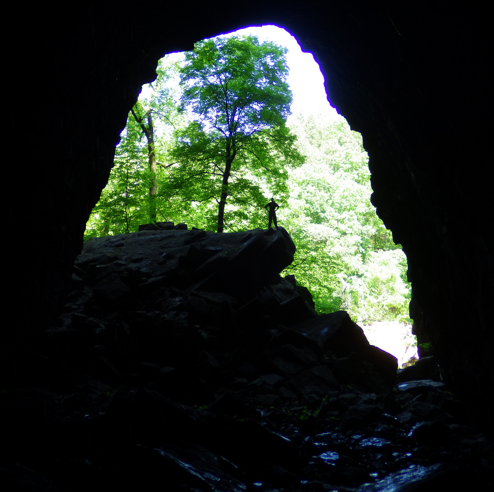
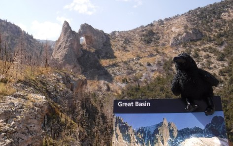
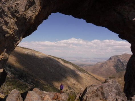
Lexington Arch is located down a long dirt road, the first nine miles of which are passable by any vehicle, but the final two miles require four-wheel-drive. From the trailhead, the hike is 1.7-miles one-way, for a total round trip of 7.4 miles if you park where we did. Lexington Arch is an impressive 60 feet tall and its limestone structure is unique since most arches are sandstone.
Instagram-worthy Photo
Gnarled branches of bristlecone pine trees reach for the sky at 10,000 feet in elevation. Wheeler Peak provides a great backdrop for them.

Peak Season
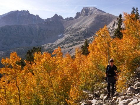
Summer, with September a great time of year to visit for changing colors in the aspen stands. Wheeler Peak Scenic Drive closes in winter.
Hours
https://www.nps.gov/grba/planyourvisit/hours.htm
Fees
None, which is fairly unique for a National Park, but there is a charge for cave tours.
Road Conditions
Wheeler Peak Scenic Drive is paved and most dirt roads are passable to all vehicles, with the exception of the final 2 miles of the road to Lexington Arch which requires four-wheel-drive.
Camping
There are several campgrounds in the park, plus dispersed sites along two dirt roads available with a permit. Dispersed camping is allowed on roads outside the park boundaries without a permit.


Explore More – If the flowstone formations at its base indicate Lexington Arch was once part of a cave, is it actually an arch or a natural bridge?