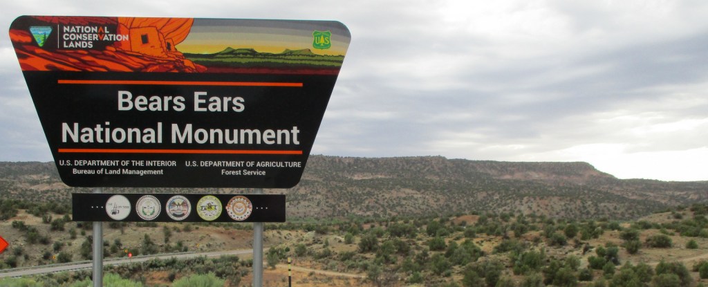
Bears Ears National Monument
Utah
Managed by U.S. Forest Service and Bureau of Land Management
Established 2016
1,351,849 acres
Website: https://www.blm.gov/visit/bears-ears-national-monument
Overview
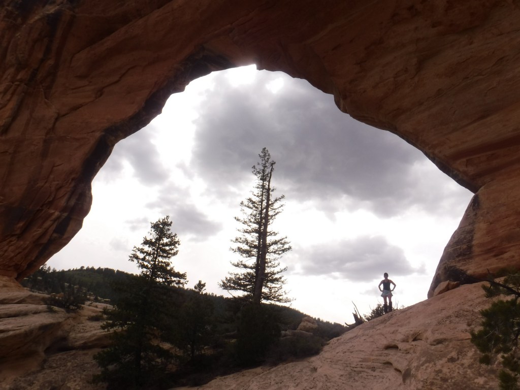
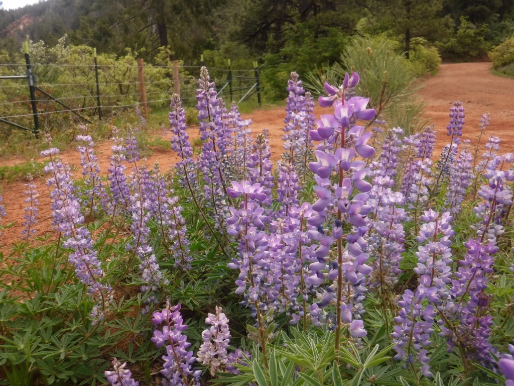
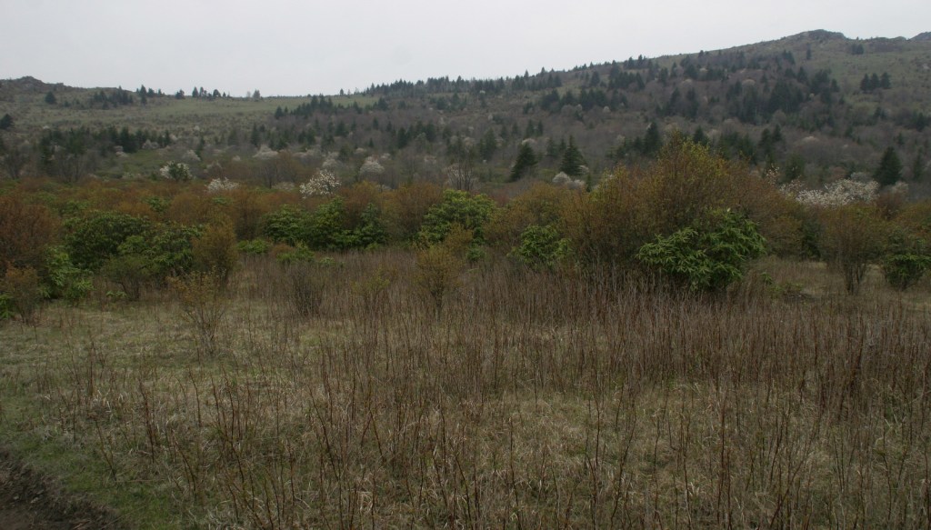
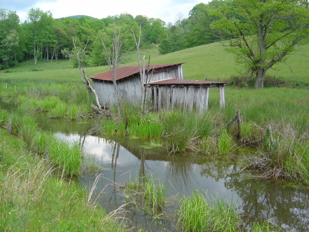
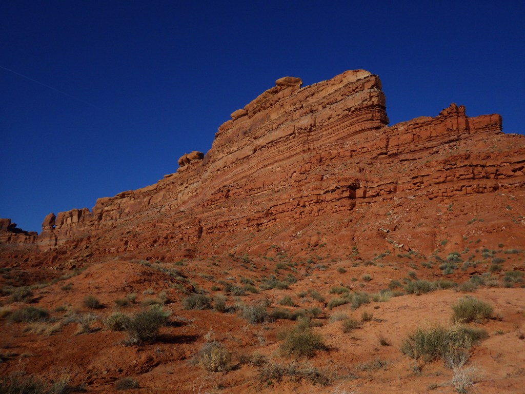
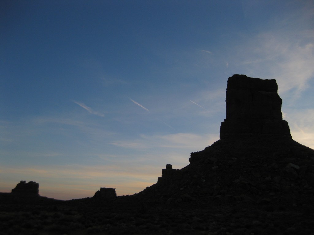
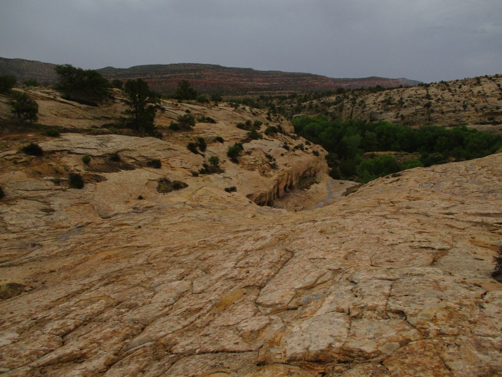
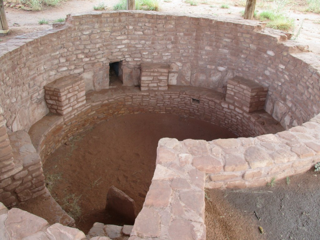
The Bureau of Land Management (BLM) and U.S. Forest Service manage the more than one-million acres of Bears Ears National Monument in partnership with five local Native American tribes. After it was established, in 2017 it was controversially reduced in size to 201,876 acres before being restored four years later. Much of the southern portion of La Sal National Forest, including the Dark Canyon Wilderness, is included inside its boundaries. The entire area protects millions of years of the paleontological record and has more than 100,000 archaeological sites, especially on Cedar Mesa where day-use and overnight permits are required. The BLM has excellent maps and trip-planning resources available on their website.
Learn more about the other 137 National Monuments in our book Monumental America: Your Guide to All 138 National Monuments. It is now available for sale on Amazon.com.

Highlights
Butler Wash, Moon House Ruin, Newspaper Rock, Moki Dugway, San Juan River, Elk Ridge Scenic Backway, Dark Canyon Wilderness, Mule Canyon, Seven Kivas, The Citadel Trail
Must-Do Activity
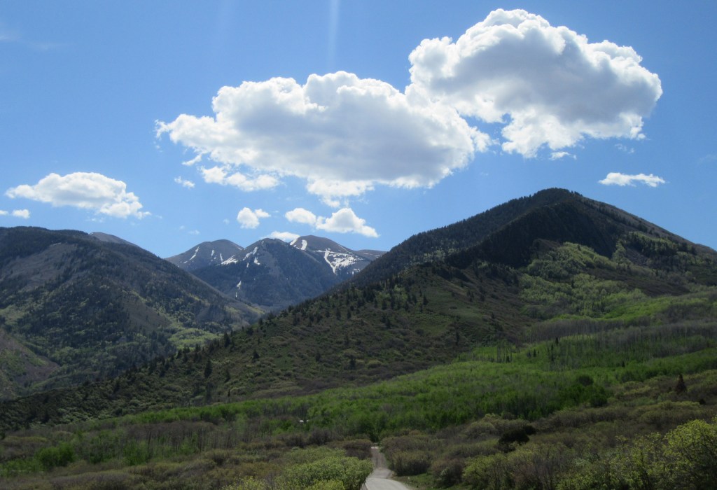
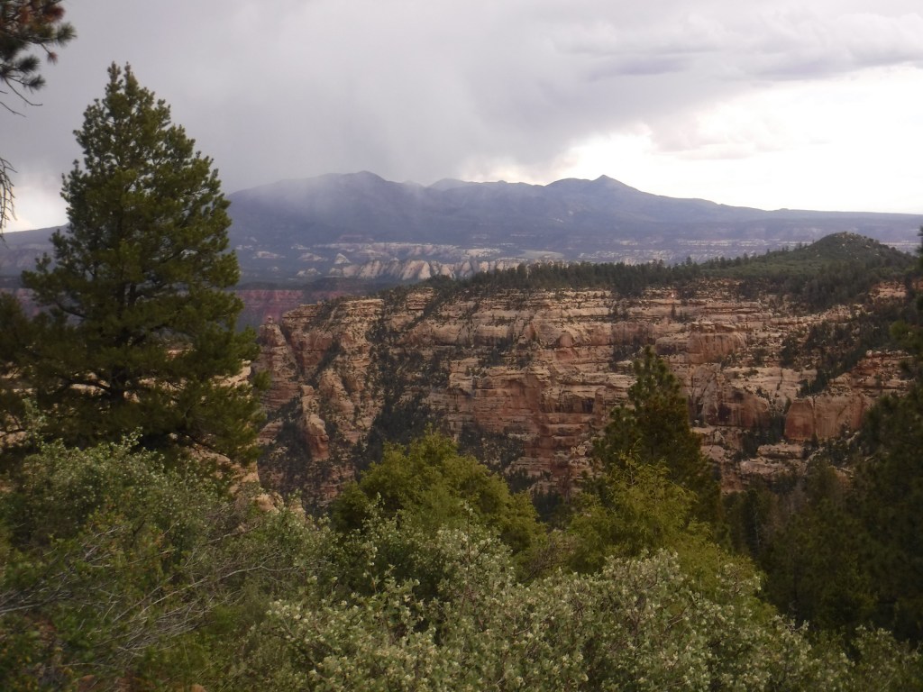
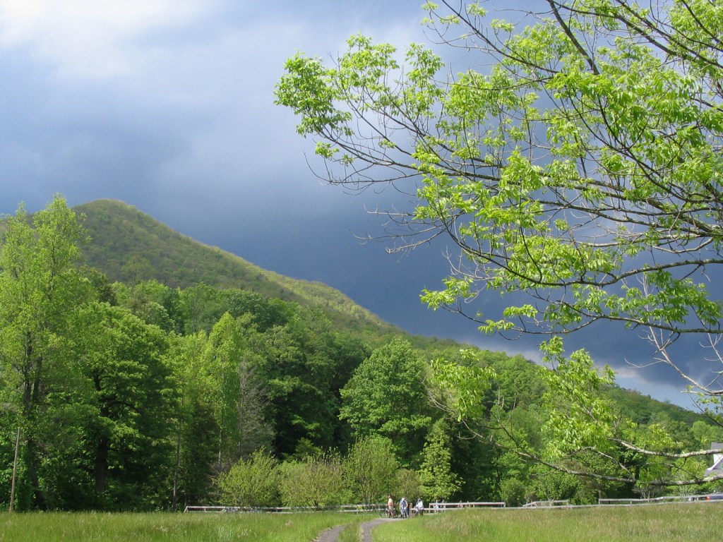
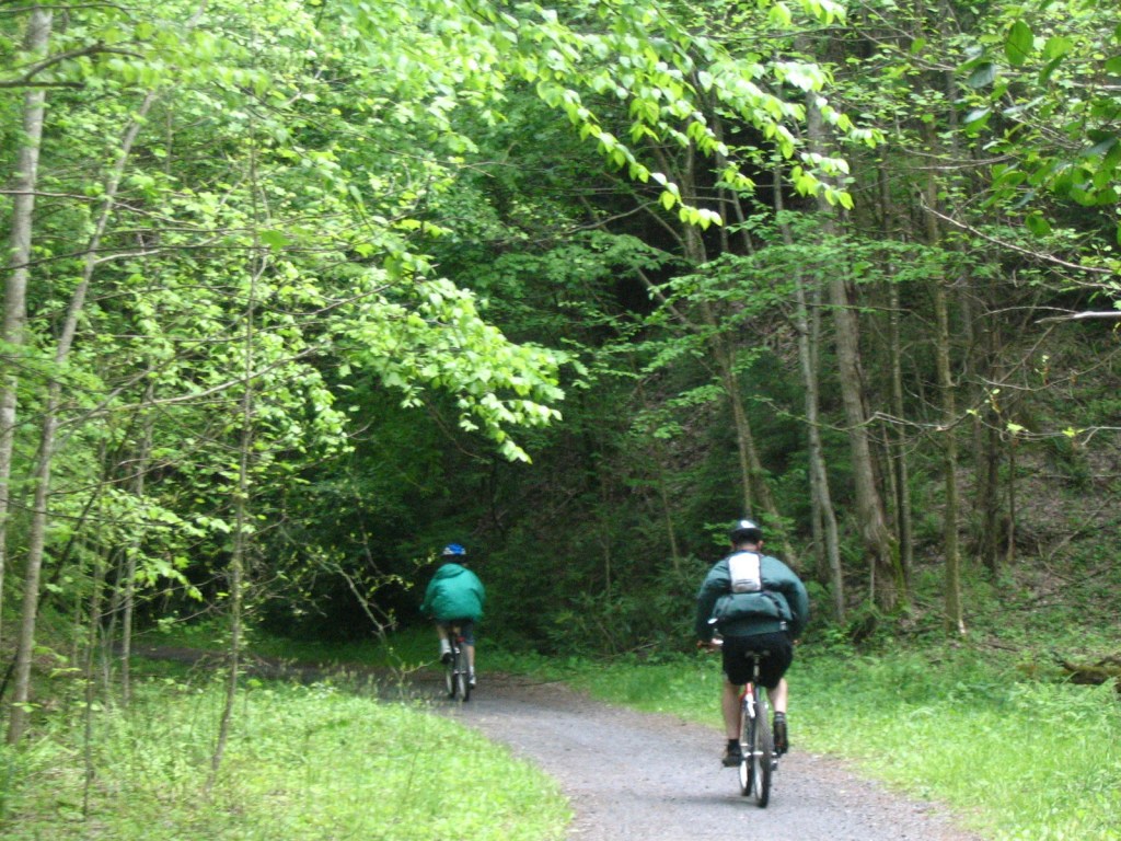
It would be easy to spend more than a week exploring the roads and trails within Bears Ears National Monument. Everyone should try to drive the good 17-mile-long dirt road through Valley of the Gods to see rock formations like Rooster Butte and Woman in the Tub. West of Blanding, paved State Route 95 passes Mule Canyon Interpretive site, Butler Wash Interpretive Trail, and Butler Wash Dinosaur Tracksite. In La Sal National Forest, the 58-mile-long Elk Ridge Scenic Backway is a well-maintained (though unpaved) route that leads north from Natural Bridges National Monument to Highway 211, which connects to the Needles District of Canyonlands National Park. There are multiple trails along the way that provide access to the Dark Canyon Wilderness, an area known for old-growth forests, natural arches, and Ancestral Puebloan ruins and pictographs.
Best Trail
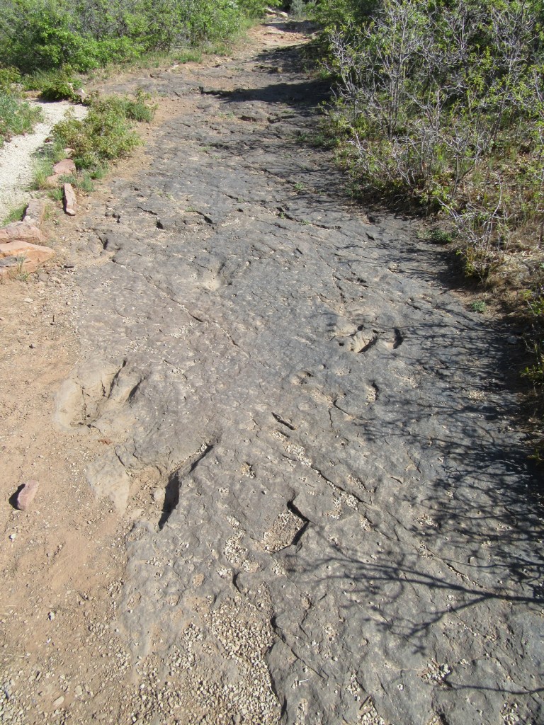
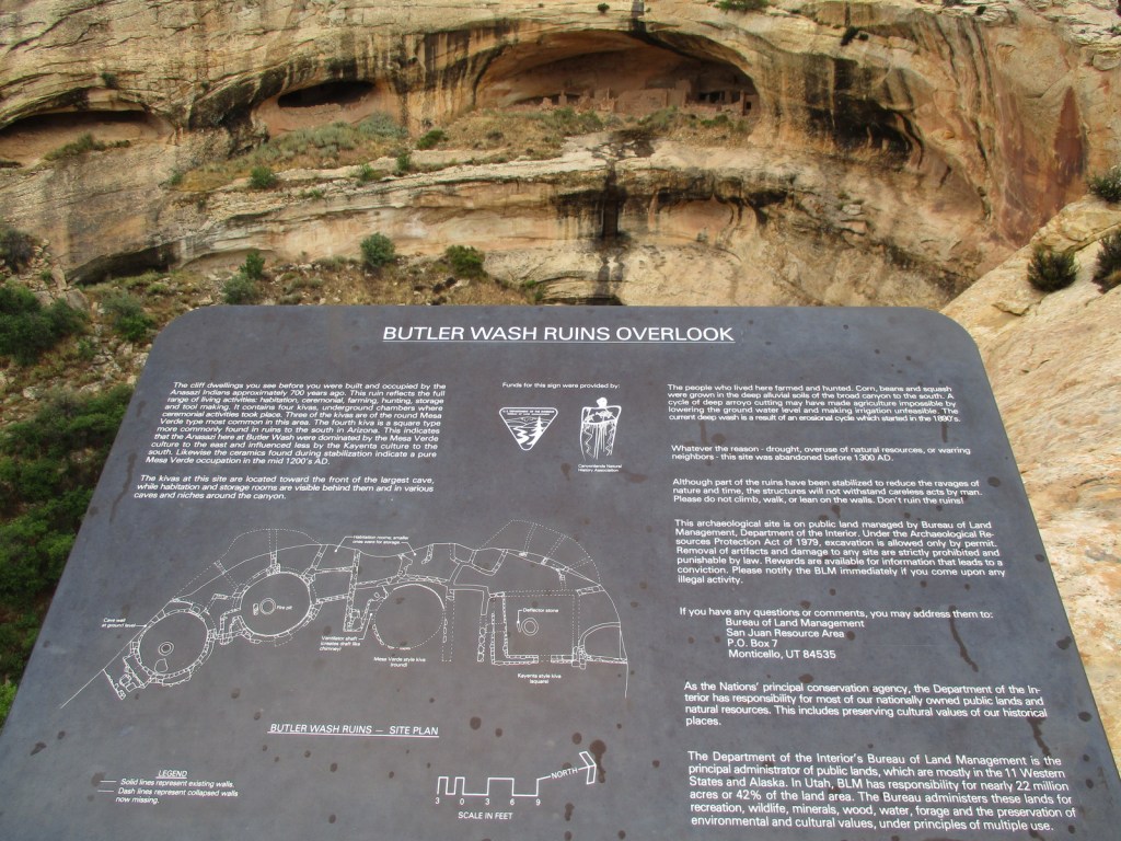
There are many trails to choose from, but one of the most popular is off unpaved Texas Flat Road that enters Mule Canyon (parking fee) and accesses House on Fire, a well-preserved granary located one mile in after multiple stream crossings. There is a paved parking lot suitable for RVs at Butler Wash Interpretive Trail, a half-mile one-way walk on to an overlook of a cliff dwelling.
Photographic Opportunity
Along Highway 211 to the Needles District of Canyonlands National Park, be sure to stop at the paved parking lot for Newspaper Rock. Another nice panel of rock art is found in Sand Island Campground along the San Juan River near Bluff, Utah.

Peak Season
Spring and fall
Fees
A day-use fee of $5 per person applies at several parking areas on Cedar Mesa in southern Bears Ears National Monument, including Mule Canyon access to House on Fire Ruins. There are pay stations at several sites, as well as pre-paid online permits (including for 20 people per day to access Moon House Ruin).
Road Conditions
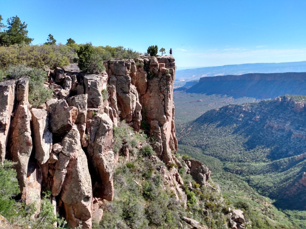
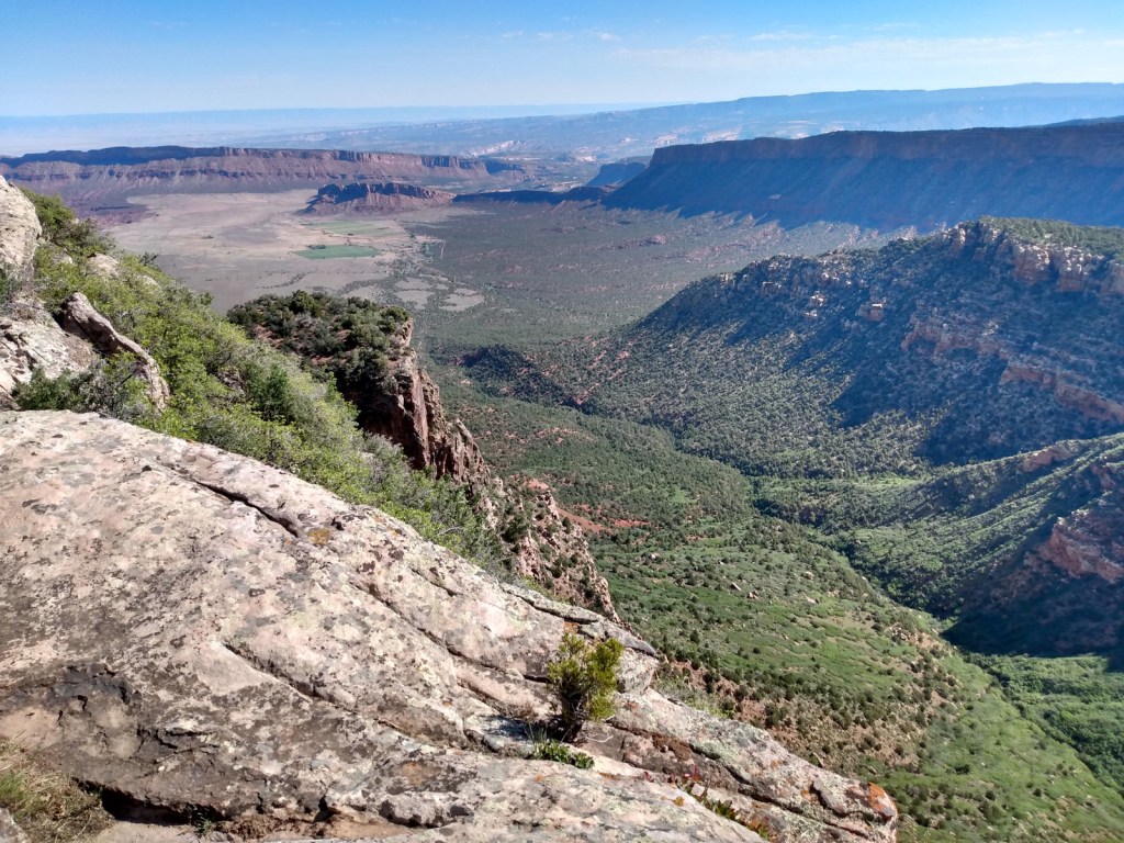
State Route 95 and Highway 211 are both paved, but other roads like the Moki Dugway, Valley of the Gods Road, and 58-mile-long Elk Ridge Scenic Backway should not be attempted by RVs. A high-clearance vehicle is required to drive many side roads, including six-mile-long Cigarette Springs Road to The Citadel and Seven Kivas Trails. Be aware that flash floods are a danger as many roads traverse canyons.
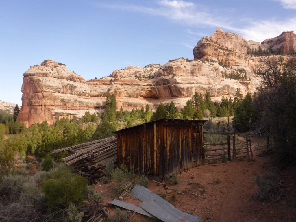
Camping
There are numerous developed campgrounds spread throughout Bears Ears National Monument. We enjoyed our stay at Hamburger Rock Campground outside the Needles District of Canyonlands National Park. Dispersed camping is also a good option, especially in scenic Valley of the Gods and along lightly-traveled Elk Ridge Scenic Backway. All backcountry camping on Cedar Mesa requires a permit and no campfires are allowed.
Related Sites
Canyonlands National Park (Utah)
Natural Bridges National Monument (Utah)
Hovenweep National Monument (Utah-Colorado)


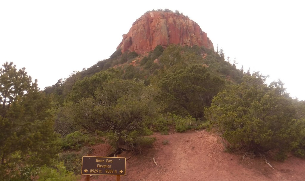

Explore More – Where are the actual Bears Ears formations that give the National Monument its name?

Learn more about the other 137 National Monuments in our book Monumental America: Your Guide to All 138 National Monuments