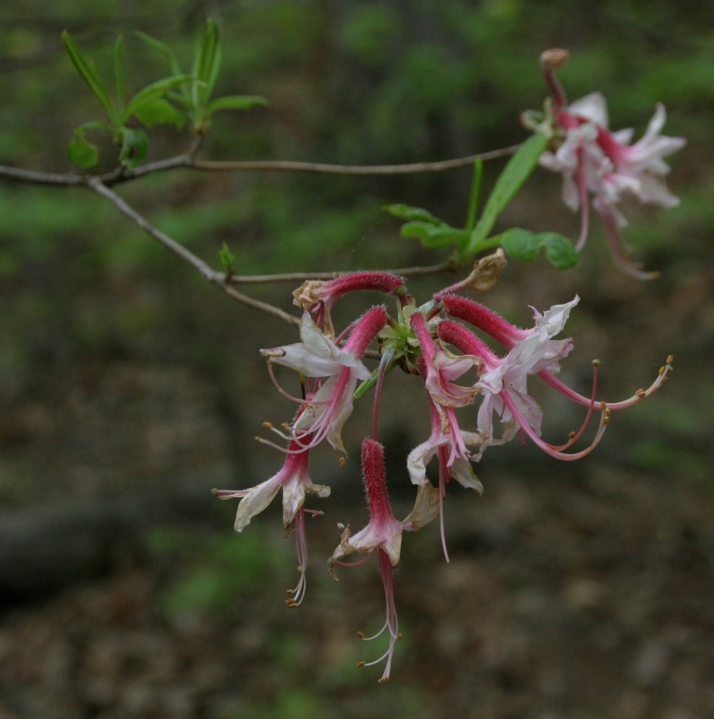
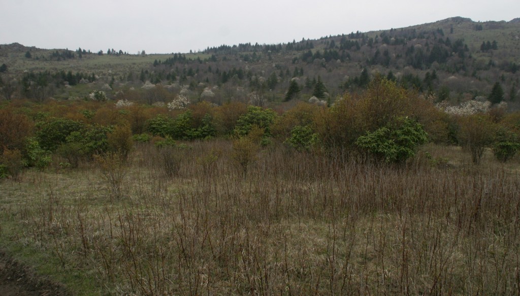
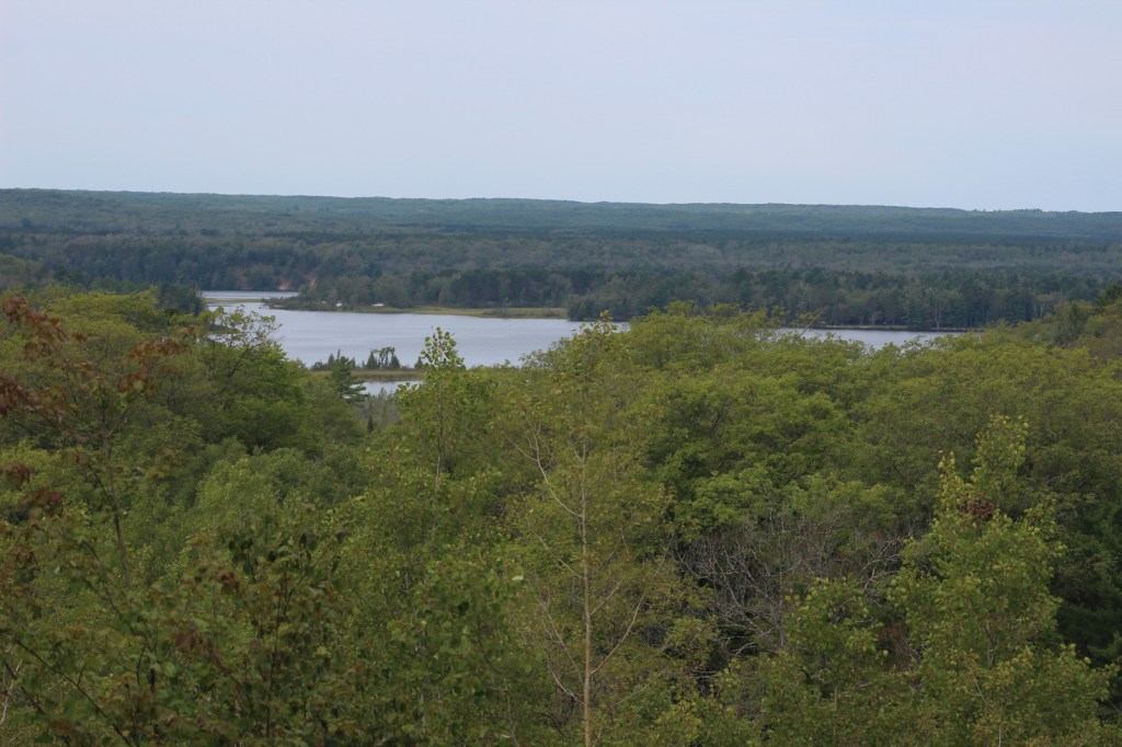
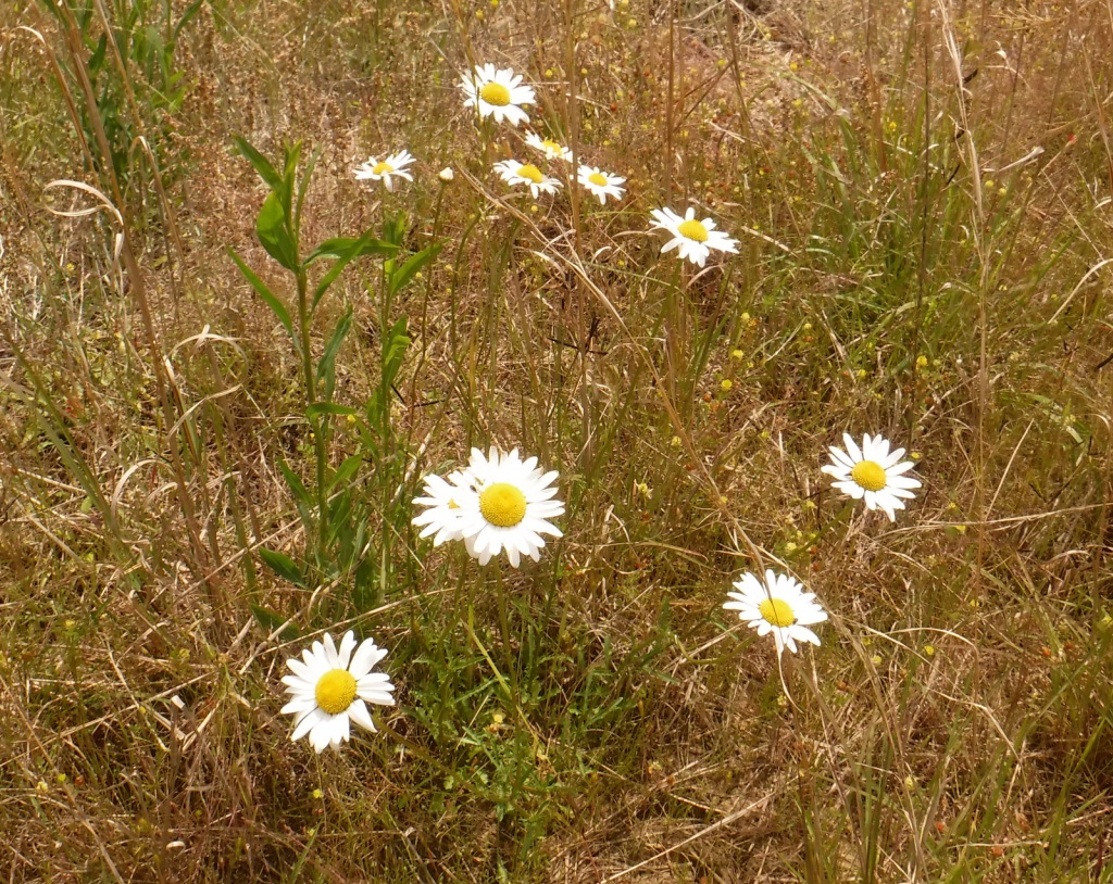
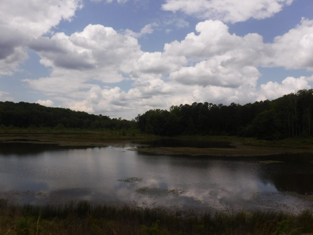
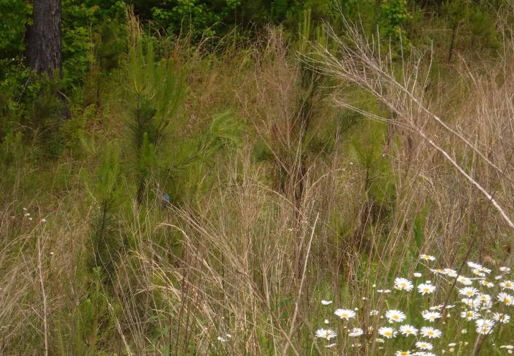
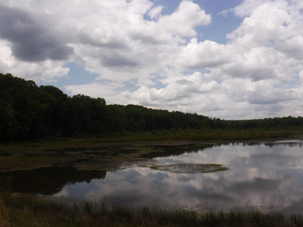
Fort Pierre National Grassland is located south of the state capital of Pierre, north of Interstate 90, and west of the Lower Brule Indian Reservation. The topography ranges from gently rolling hills to steeper slopes along creeks that flow into the Bad River and the Missouri River. Portions of the movie Dances with Wolves were filmed here in the early 1990s. If there is abundant spring precipitation, wildflower blooms of goldenrod, spiderwort, purple coneflower, and daisy fleabane are supposed to be incredible.
Highlights
Richland Wildlife Area, Sheriff Dam Recreation Area
Must-Do Activity
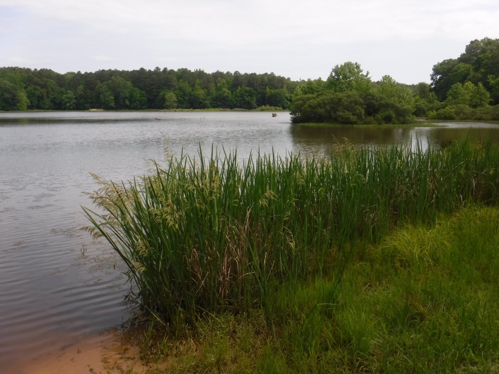
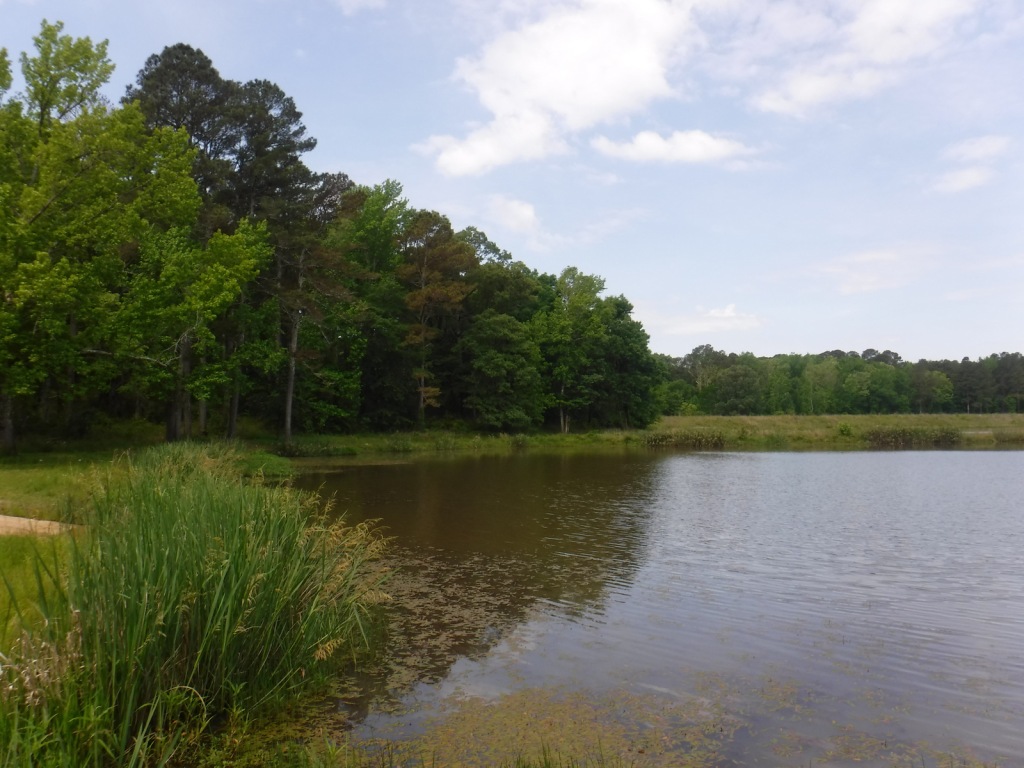
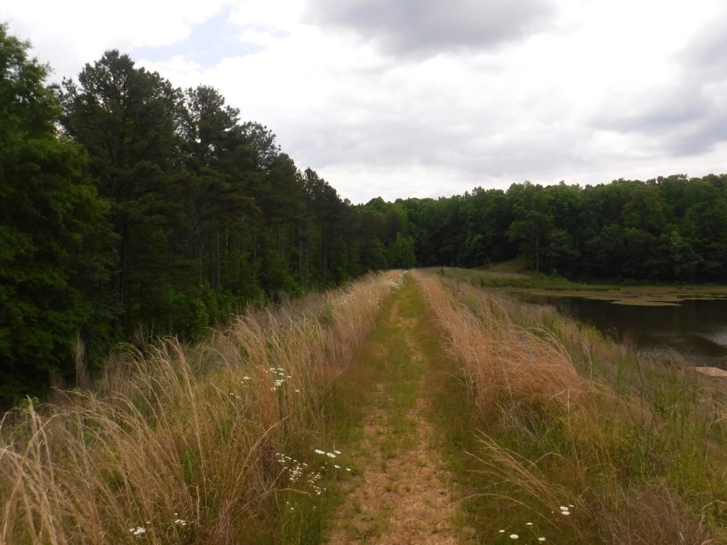
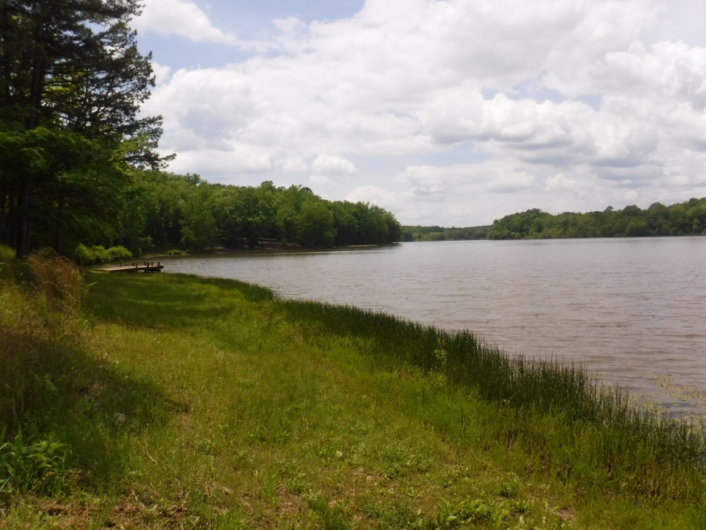
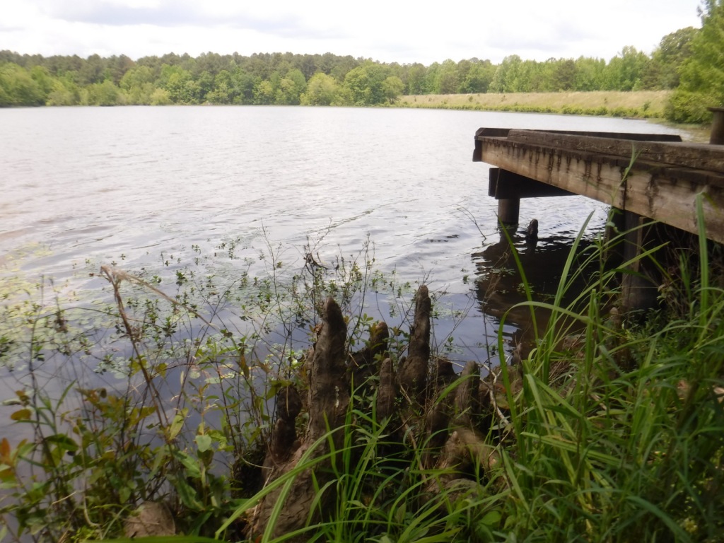
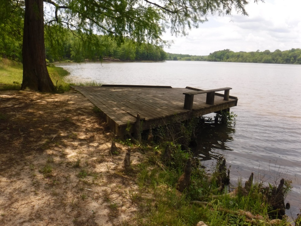
Before arriving, download the maps of Fort Pierre National Grassland through the U.S. Forest Service Visitor Maps app, or pick up a paper map at the visitor center in Wall, South Dakota. Look online for the publication South Dakota Fishing Guide to the National Grasslands, which provides information on 41 fishing ponds in Fort Pierre National Grassland. Originally built in 1934, Richland Dam was renovated in 2014 and now features handicapped-accessible fishing and a concrete boat ramp. The reservoir contains largemouth bass, yellow perch, bluegill, black crappie, and bullhead catfish. Fishing ponds are generally open December 1 to August 31 to avoid overlap with hunting season.
Best Trail
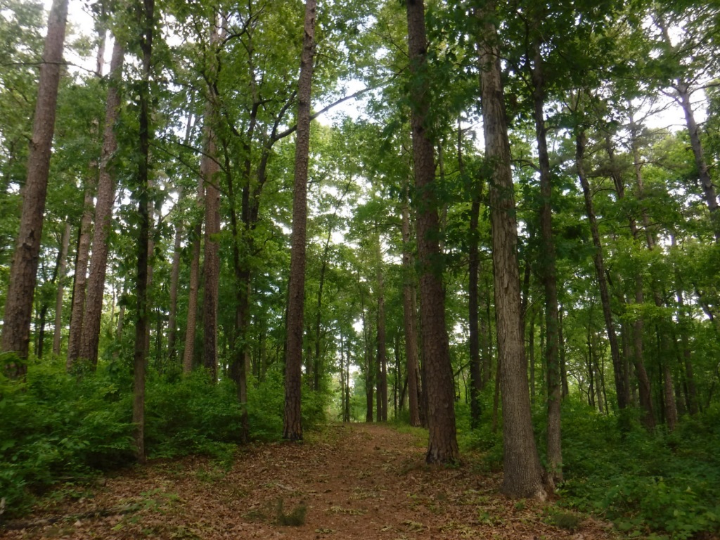
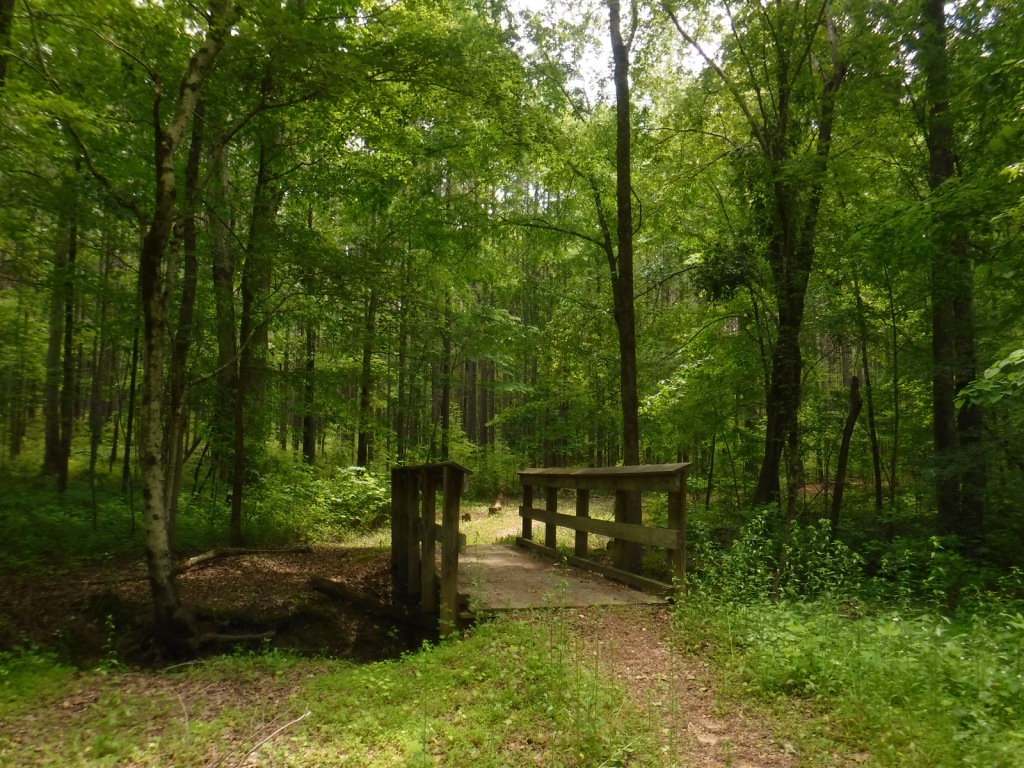
We did not see any defined trails, but you could walk cross-country, on the dirt roads, or circle around the many ponds.
Watchable Wildlife
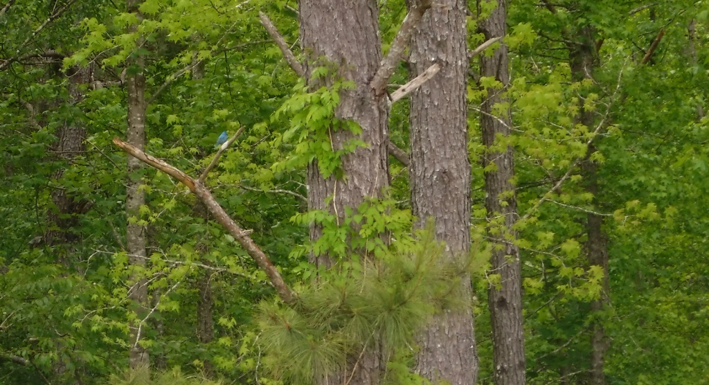
Richland Wildlife Area is 540 acres managed to provide nesting cover for greater prairie chickens, sharp-tailed grouse, and ring-necked pheasants. Black-tailed prairie dog towns provide habitat for prairie rattlesnakes and burrowing owls. Both mule and white-tailed deer are found here, in addition to pronghorns, jackrabbits, badgers, and coyotes. We saw a prairie falcon, bald eagle, and northern harrier hunting from the air.
Instagram-worthy Photo
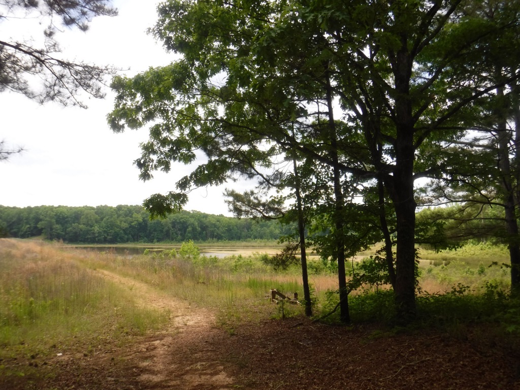
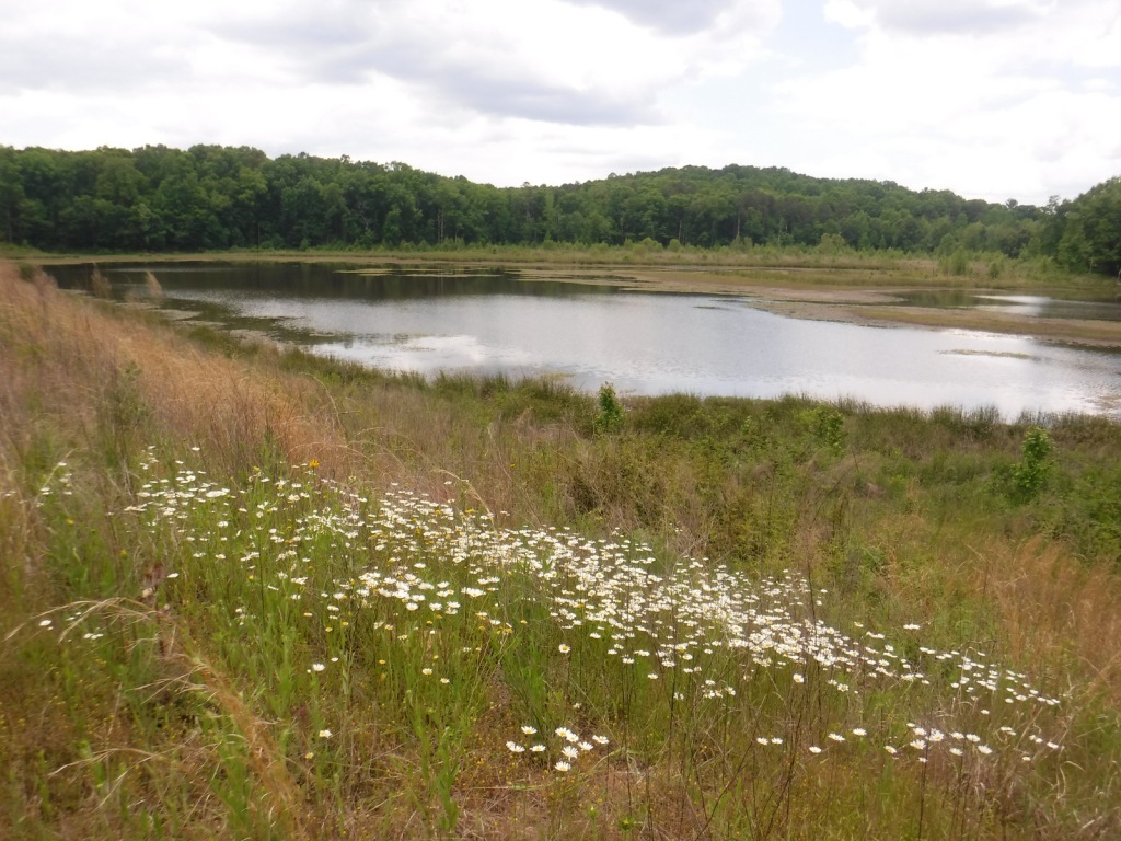
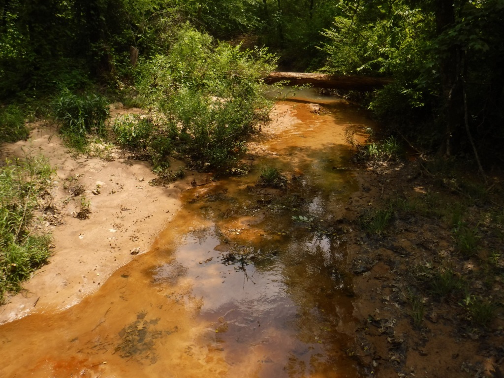
Look for muskrat activity along the banks of Sherriff Dam Reservoir. This is also where we saw more than 200 red-winged blackbirds take flight from a field of sunflowers (see photos below).
Peak Season
Spring and fall
Fees
None
Road Conditions
The clay soils of Fort Pierre National Grassland can make the unpaved roads impassable to passenger vehicles when muddy, plus the deep ruts make it easy to get high-centered.
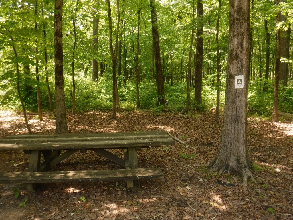
Camping
It is free to camp at Richland Dam or Sheriff Dam Recreation Areas, and dispersed camping is allowed anywhere on public land parcels (so be sure to consult maps).
Living wind breakMeadowlarkTiff at Sherriff Dam ReservoirMuskrat activitySherriff Dam ReservoirRed-winged blackbirdsPrairie dog holesSouth Dakota state capitol in Pierre
Explore More – Now considered a suburb of the capital city of Pierre (although it is in a different time zone), when was Fort Pierre originally constructed on the Missouri River?
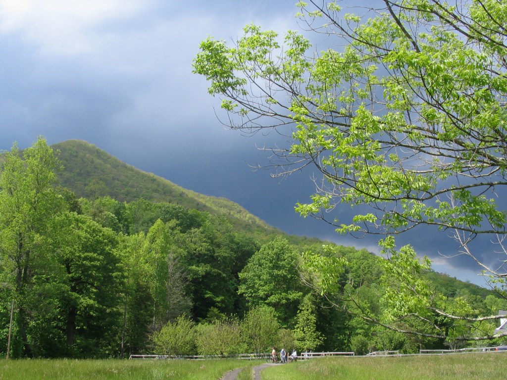
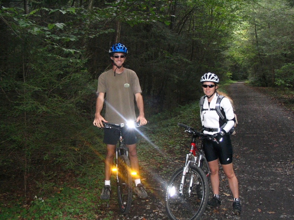
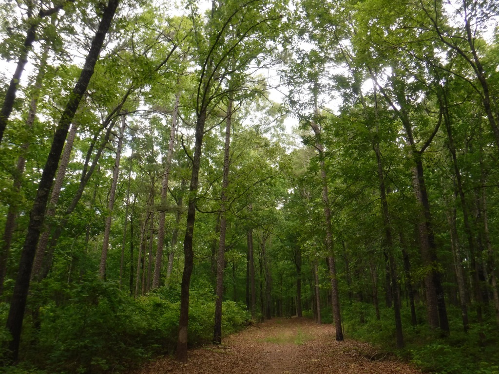
In western Virginia, Jefferson National Forest contains Mt. Rogers, the state’s highest point at 5,729 feet (see our post on Mt. Rogers National Recreation Area). There are 17 designated Wildernesses in Jefferson National Forest, second only to the 19 in Alaska’s massive Tongass National Forest. In 1995, George Washington and Jefferson National Forests were administratively combined. Is it just us, or does that name seem to celebrate George Jefferson from the 1970s sitcom? It is supposed to commemorate native-Virginian Thomas Jefferson who was the original author of the 1776 Declaration of Independence and the third President of the U.S. The Omnibus Public Land Management Act of 2009 created both the Bear Creek (5,503 acres) and Seng Mountain (6,455 acres) National Scenic Areas as specially designated parts of Jefferson National Forest.
Highlights
Blue Ridge Parkway, Mt. Rogers National Recreation Area, Seng Mountain National Scenic Area, Bear Creek National Scenic Area, Settlers Museum of Southwest Virginia, James River Gorge, Mountain Lake, Apple Orchard Falls, Cave Mountain Lake, Glenwood Iron Furnace, High Knob, Little Stony Creek, Lake Keokee, Olinger Gap Trail, Virginia Creeper Trail, Virginia Highlands Trail, Appalachian National Scenic Trail
Must-Do Activity
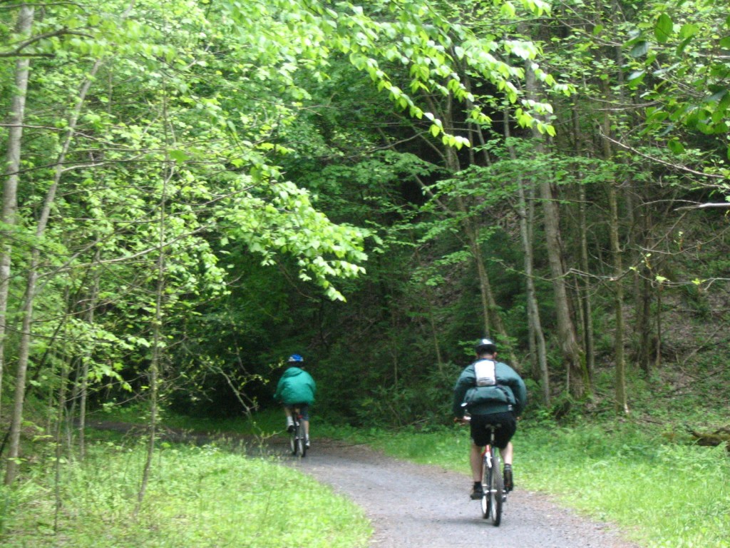
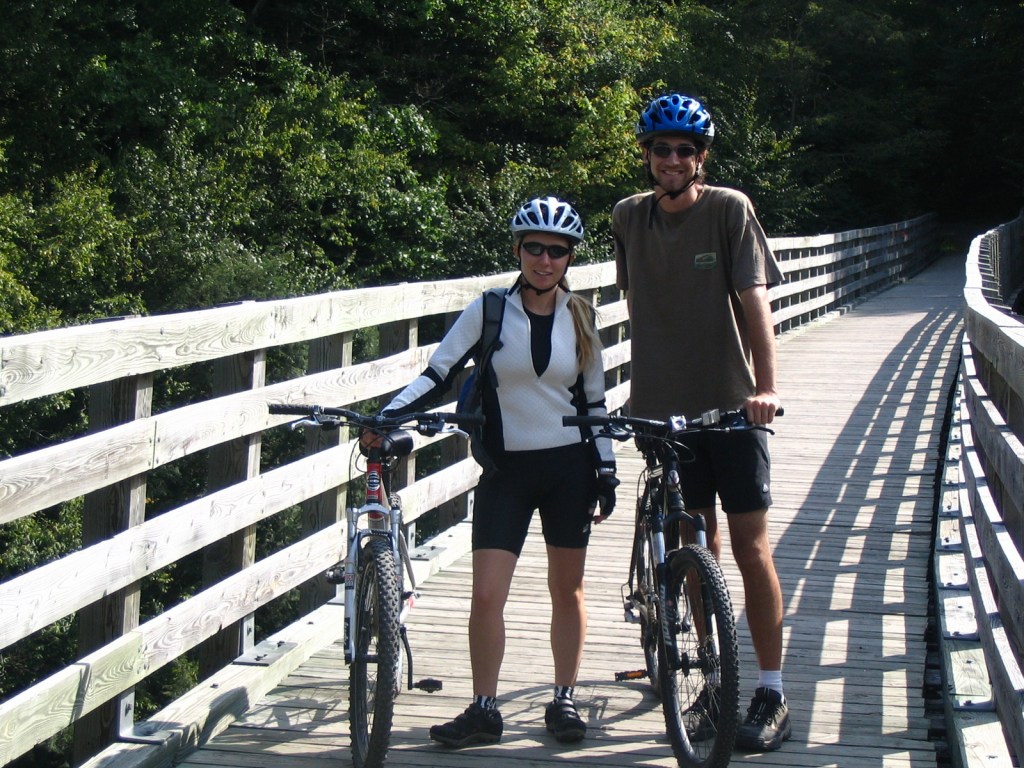
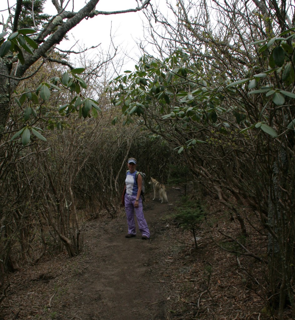
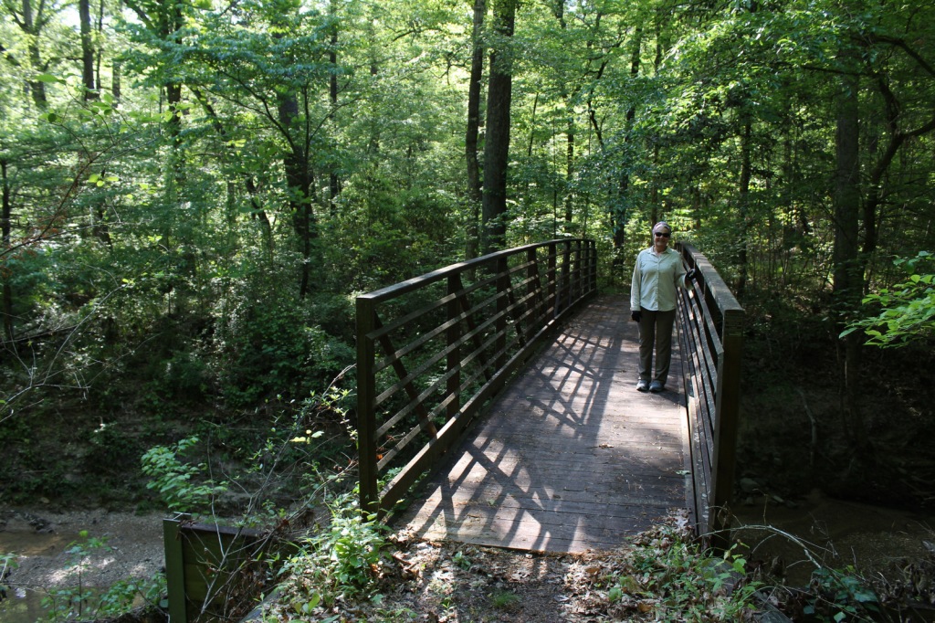
We have only visited the Mt. Rogers National Recreation Area (which made it on our Top 10 List) portion of Jefferson National Forest, which sits just north of the North Carolina border. One popular day trip there is to bike the 33-mile-long Virginia Creeper Trail, which is also open to hikers and horse riders. Last used in 1977, the former railroad grade runs 18 miles downhill from Whitetop Station Visitor Center to the town of Damascus, and local outfitters can provide shuttles to the trailheads and rental bikes. The trail drops 1,600 feet in total (sometimes at a 7% grade); no wonder those steam locomotives were “creeping” up the hill. Outside the National Forest, another 15 miles of railroad bed runs to Abingdon and includes the lowest point on the trail at the scenic South Holston Trestle.
Best Trail
Apple Orchard Falls has a drop of 200 feet and can be accessed from Sunset Fields Overlook at Milepost 78 on the Blue Ridge Parkway. Considered the most popular hike in Jefferson National Forest, the steep trail is only 1.3 miles long one-way, but gains more than 1,000 feet in elevation. A six-mile loop can be completed by connecting to the Cornelius Creek Trail with a total elevation gain of 1,438 feet. Olinger Gap Trail is another short, scenic route that connects the 3.7-mile Lake Keokee Loop Trail and the 14-mile Stone Mountain Trail.
Watchable Wildlife
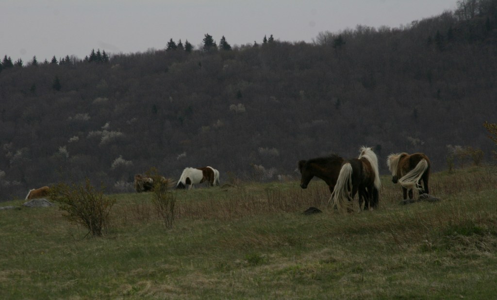
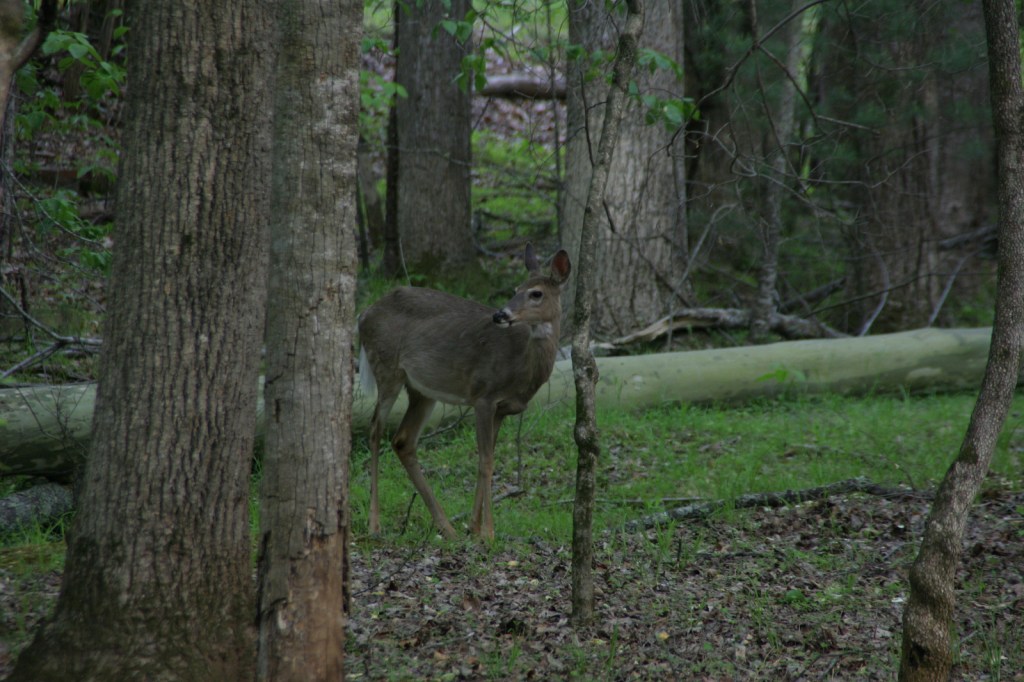
Jefferson National Forest has elevations ranging from 649 feet at the James River up to 5,729 feet, offering a variety of habitats. Its most famous residents may be the wild miniature ponies that hang out in the heath balds around Mt. Rogers. Like George Washington National Forest, there are several types of rare salamanders found here, including the golden pygmy salamander. Noteworthy mammals are white-tailed deer, black bears, bobcats, raccoons, river otters, martens, and weasels. Large birds found in Jefferson National Forest include wild turkeys, turkey vultures, bald eagles, peregrine falcons, and several types of hawks.
Instagram-worthy Photo
Spring and early summer are a great time to visit to see blooming azalea, mountain laurel, and rhododendron bushes.
Peak Season
Spring and fall
Fees
$5 day-use fee at Beartree Recreation Area
Road Conditions
The Peaks of Otter Visitor Center on the paved Blue Ridge Parkway is managed by the National Park Service adjacent to Jefferson National Forest. There are unpaved roads scattered throughout the mountains, including a rough road off Forest Road 606 that comes close to the 15-foot-tall Falls of Dismal (also accessible by hiking trail).
Camping
Beartree, Hurricane, Cane Patch, Laurel Falls, Cave Springs, Bark Camp Lake, Cave Mountain Lake, Pines, and White Rocks are only a selection of the many designated campgrounds in Jefferson National Forest. There is a 25-foot right-of-way for backpack camping on both sides of the Virginia Creeper Trail, except on private property.
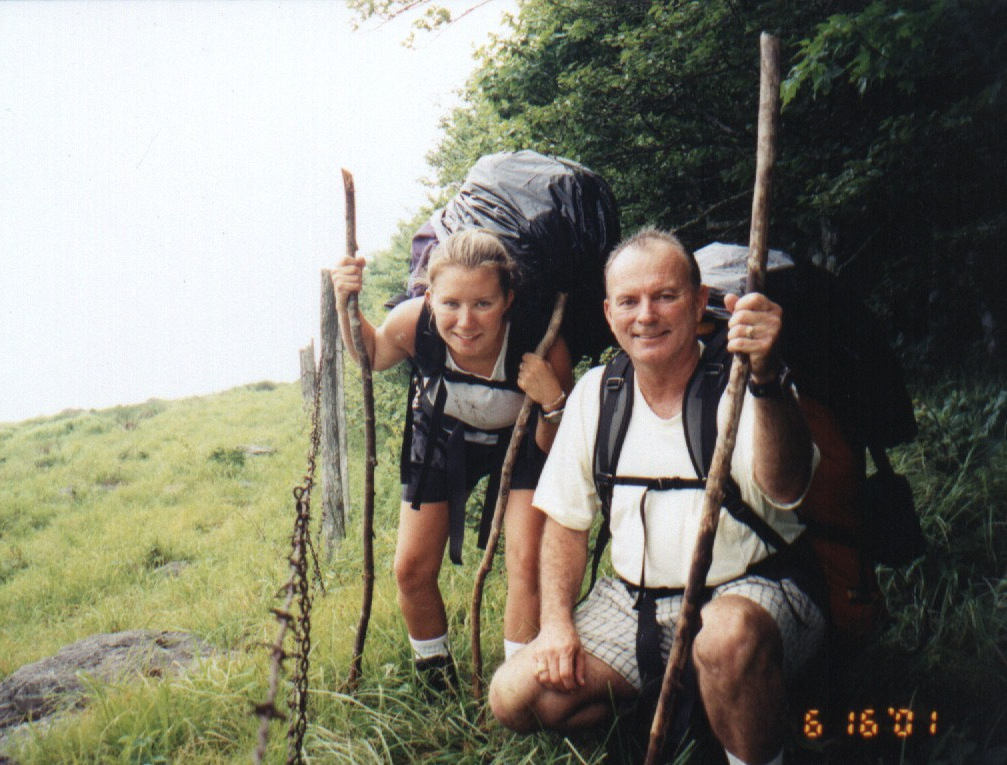
Tiff on the Virginia Creeper TrailVirginia Creeper TrailVirginia Creeper TrailTiff and Scott on the Virginia Creeper TrailTiff with a friendly localTiff and her father backpacking in 2001Tiff and Scott on the Virginia Creeper TrailVirginia Creeper TrailWhite-tailed deer
American beech, yellow birch, mountain maple, sugar maple, white oak, black oak, northern red oak, rock chestnut oak, bear oak, hickory, basswood, sweet buckeye, American elm, sourwood, mountain laurel, azalea, rhododendron
Explore More – What is the scientific name for Virginia creeper, the native vine with palmately compound leaves?
Learn more about this and the 154 other National Forests in our new guidebook Out in the Woods
We are a participant in the Amazon Services LLC Associates Program, an affiliate advertising program designed to provide a means for us to earn fees by linking to Amazon.com and affiliated sites.
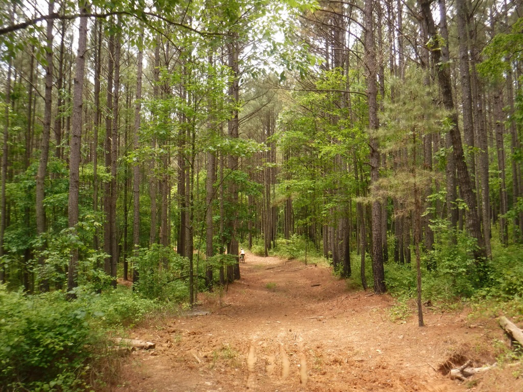
Huron National Forest occupies a strip of land in eastern Michigan that follows the Au Sable National Wild and Scenic River to near its confluence with Lake Huron. The National Forest was established in 1909 after logging in the area went into decline. In 1945, it was administratively combined with the Manistee National Forest, which is on the western side of the state. Two years later, the first Au Sable River Canoe Marathon was held when 46 teams entered, but only 15 teams finished the 120-mile-long race. Held annually the last weekend of July, thousands of spectators watch the event, but if you are not there then at least stop by the Canoer’s Memorial. In the winter, snowmobiling and cross-country skiing are popular activities in Huron National Forest.
Highlights
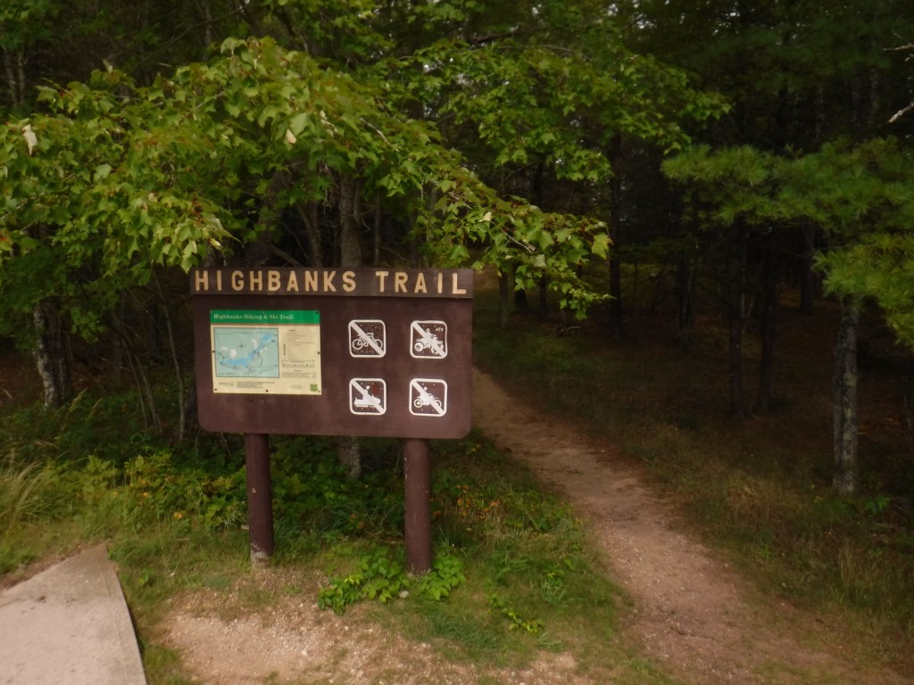
River Road Scenic Byway, Lumberman’s Monument, Canoer’s Memorial, Iargo Springs Interpretive Site, Cooke Dam Pond, Tuttle Marsh, Bull Gap ORV Trail, Hoist Lakes Foot Travel Area, Highbanks Trail, Eagle Run Cross-Country Ski and Hiking Trail
Must-Do Activity
The 22-mile-long River Road Scenic Byway follows the Au Sable National Wild and Scenic River with 18 stops at memorials, overlooks, dams, ponds, trailheads, and campgrounds. The National Forest’s most developed area surrounds the Lumberman’s Monument, a 14-foot bronze statue dedicated in 1932. The site also has a museum, gift shop, interactive visitor activities, hiking trails, and a campground. Three other popular stops along the River Road Scenic Byway are the Iargo Springs Interpretive Site, Kiwanis Monument, and Foote Pond Overlook where visitors might spot a bald eagle.
Best Trail
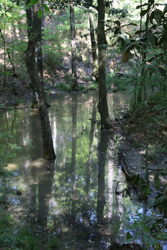
A day use fee is charged to park at the two entrances to Hoist Lakes Foot Travel Area in the northern part of Huron National Forest. We started at the west entrance, just 1.8 sandy miles off paved Aspen Alley Road, and hiked a half-mile to Carp Lake, which had a large beaver hut in its center. There are many loop options in this forest that is being managed for old-growth conditions, which makes it ideal for cross-country skiing.
Watchable Wildlife
Huron National Forest manages its jack pine forests to provide summer nesting habitat for the formerly-endangered Kirtland’s warbler. After being placed under protection of the Endangered Species Act when its population fell to 167 nesting pairs in 1974, it was delisted in 2019 after rebounding to 2,300 pairs. Since dense, young stands of jack pine are unsuitable habitat, Kirtland’s warblers need old-growth forests, which are extremely susceptible to crown fires. Other species prefer old-growth forests, too, like pileated woodpeckers, saw-whet owls, and pine martens. We saw one of the rare Kirtland’s warblers at Au Sable Scenic River Highbanks Overlook, in addition to spotting a trumpeter swan, hairy woodpecker, raven, black squirrel, porcupine, and white-tailed deer. The Au Sable River offers trout fishing for people and bald eagles.
Instagram-worthy Photo
We stopped at Au Sable Scenic River Highbanks Overlook and were able to photograph a Kirtland’s warbler.
Peak Season
Summer
Fees
A day use fee is charged to park at the two entrances to Hoist Lakes Foot Travel Area, or you can use the America the Beautiful pass. Access to the Lumberman’s Monument is free.
Road Conditions
The unpaved roads are very sandy, but they were mostly flat without deep sand and easily drivable with a passenger vehicle in the summer.
Camping
There were signs prohibiting camping at the Hoist Lakes Foot Travel Area trailhead and Au Sable Scenic River Highbanks Overlook, and the dense forest offered no dispersed camping options that we noticed. A developed campground is available at the Lumberman’s Monument, as well as at Algona Dam Pond, Loud Dam Pond, Cooke Dam Pond, and Foote Dam Pond.
red maple, sugar maple, American elm, black ash, quaking aspen, paper birch, northern red oak, pin cherry, shadbush
Explore More – When the first 120-mile-long Au Sable River Canoe Marathon was held in 1947, who were the two paddlers that won with a time of 21 hours and 40 minutes?
Learn more about this and the 154 other National Forests in our new guidebook Out in the Woods
In southwest Mississippi, Homochitto National Forest is comprised of former cotton fields purchased and replanted with trees by the federal government in the 1930s. It is named for the 90-mile-long Homochitto (“huh-mah-CHIT-ah”) River that runs through the forest on its way to the Mississippi River south of Natchez. All six National Forests in Mississippi are managed as one administrative unit, including Bienville, De Soto, Delta, Holly Springs, Homochitto, and Tombigbee National Forests. The Homochitto district ranger station is located in Meadville.
Highlights
Clear Springs Lake Recreation Area, Pipes Lake Recreation Area, Mt. Nebo Recreation Area, Stephenson Lookout Tower, Pellucid Bayou, Brushy Creek Loop, Tally’s Creek Trail, Richardson Creek Trail
Must-Do Activity
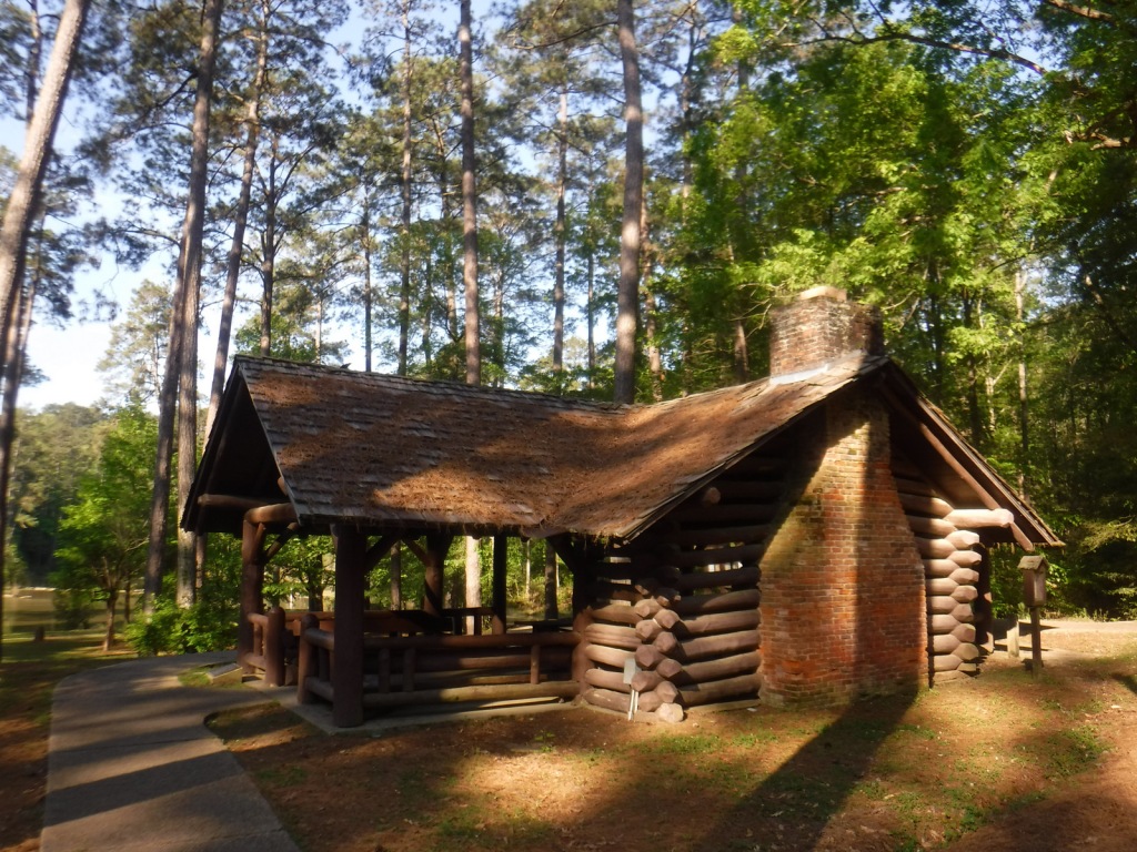
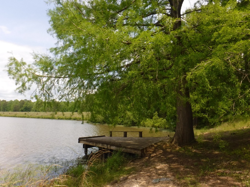
Homochitto National Forest has developed facilities at three small lakes: Clear Springs, Pipes, and Mt. Nebo. A one-mile trail encircles scenic Clear Springs Lake, which has a picnic shelter built by the Civilian Conservation Corps (CCC) in 1935 listed on the National Register of Historic Places. Elsewhere, Brushy Creek Loop is a 5.7-mile horse trail that is not recommended for hikers due to abundant mud and manure.
Best Trail
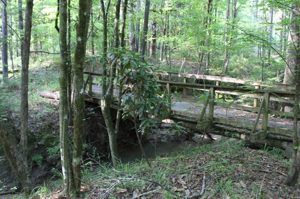
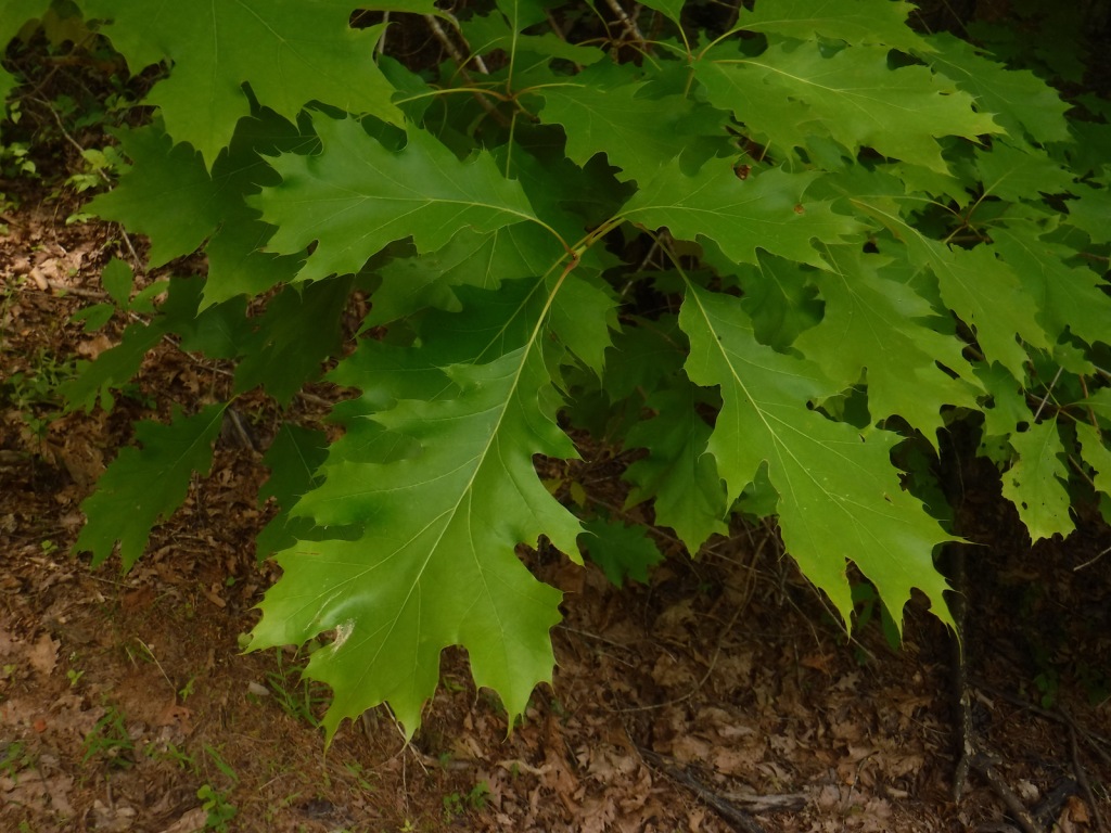
Just north of the Clear Springs Lake Campground is a trailhead (fee) for three long hiking trails, also maintained for mountain biking. Only the 10-mile-long Richardson Creek Trail was open during our visit with Tally’s Creek (10.8 miles) and Mill Branch (5.6 miles) closed due to downed trees. The route was well-marked with red blazes and had several nice bridges as it wound through the forested hills around Richardson Creek.
Watchable Wildlife
Clear Springs Lake has a sign warning of alligators, but we did not see any reptiles other than painted turtles. While camping overnight we heard what possibly was a frog making an interesting call that sounded like a lightsaber from Star Wars. Birds we spotted were a wild turkey, cardinal, goldfinch, and tufted titmouse. It is likely the National Forest allows hunting for white-tailed deer, wild turkey, ducks, and invasive wild pigs. Fishing for largemouth bass, catfish, and other species is allowed at Clear Springs, Pipes, and Mt. Nebo Lakes.
Instagram-worthy Photo
The picnic shelter at Clear Springs Lake was built by the Civilian Conservation Corps (CCC) in 1935 and is listed on the National Register of Historic Places.
Peak Season
Spring and fall
Fees
Clear Springs Lake Recreation Area charges a day use fee of $5 per vehicle or half price with the America the Beautiful pass.
Road Conditions
The road is paved to Clear Springs Lake, about 32 miles east of Natchez.
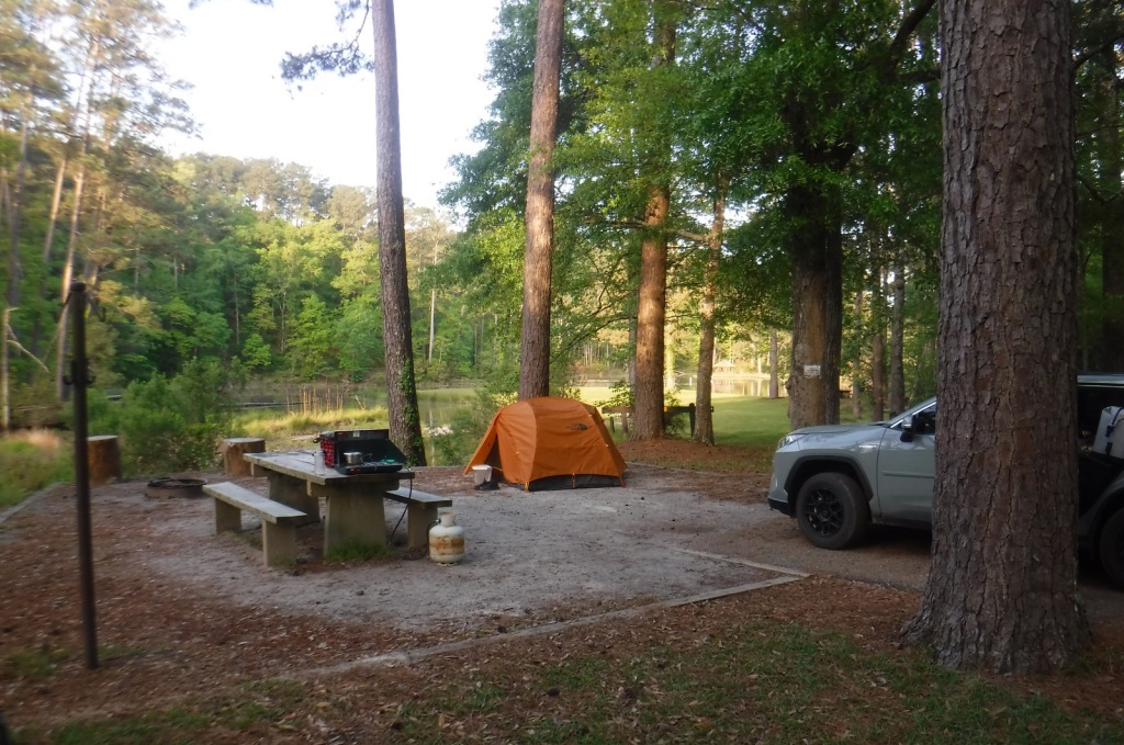
Camping
There is a nice campground with showers on Clear Springs Lake, accessed by a paved road four miles south of Highway 84. Campsites with hookups cost $20 per night and those without cost $7.
In northern Mississippi, Holly Springs National Forest was established in 1936 on abandoned agricultural land and it still encompasses 364,282 acres of private property. To help control erosion, the area was planted by the Civilian Conservation Corps (CCC) with loblolly pine seedlings. All six National Forests in Mississippi are managed as one administrative unit, including Bienville, De Soto, Delta, Holly Springs, Homochitto, and Tombigbee National Forests. The Holly Springs district ranger station is headquartered not in the town of Holly Springs, but rather in nearby Oxford, home of the University of Mississippi (or Ole Miss).
Highlights
Chewalla Lake, Puskus Lake, Benton Lookout Tower, Lake Tillatoba, Baker’s Pond Hiking Trail, North Cypress Non-Motorized Trail
Must-Do Activity
There are many small lakes and ponds throughout this region, some of them accessible from boat ramps on National Forest land. Chewalla Lake Recreation Area is the most developed site offering a swimming beach and campground, plus fishing and boating opportunities. A 2.3-mile trail at the 260-acre lake passes an overlook and a reconstructed Choctaw burial mound. In Holly Springs National Forest’s northeast corner off Highway 72, a short trail accesses Baker’s Pond, the source of the Wolf River. Further south, Lake Tillatoba is a fee-free primitive site managed by Tombigbee National Forest.
Best Trail
Open to hikers, mountain bikers, and horseback riders, North Cypress Non-Motorized Trail makes a three-mile loop marked by white blazes on trees through a lush green forest. The most scenic stretch crosses the earthen dam creating North Cypress Lake where sweeping views allow for bird watching. There are also short hiking trails at Chewalla Lake, Baker’s Pond, and Puskus Lake.
Watchable Wildlife
The National Forest’s lakes have largemouth bass, bluegill, catfish, and crappie that attract fishermen. The forest also provides habitat for white-tailed deer, fox squirrels, raccoons, and wild turkeys. We saw a red fox and our first indigo bunting on the North Cypress Non-Motorized Trail.
Instagram-worthy Photo
We spotted our first indigo bunting on the dam at North Cypress Lake, but did not have a zoom lens on hand.
Peak Season
Spring and fall
Fees
Chewalla Lake Recreation Area charges a day use fee of $5 per vehicle or America the Beautiful pass (half price with the Senior or Access Passes). Puskus Lake charges $3 per day and $7 for camping.
Road Conditions
The William Faulkner Memorial Highway (Highway 30) is paved and the dirt roads off it to North Cypress Lake and Puskus Lake were in good enough shape for our passenger vehicle.
Camping
Free primitive camping is allowed at designated sites around the parking area for North Cypress Lake (see Best Trail), 0.6 miles south of Highway 30. There is large campground on the west side of Chewalla Lake, offering nine sites with hookups ($20 per night) and 27 without ($7). Free camping for only one night is allowed at Lake Tillatoba, only three miles off Interstate 55.
white oak, northern red oak, southern red oak, black oak, bitternut hickory, mockernut hickory, slippery elm, black cherry, flowering dogwood, redbud, tulip-poplar, black gum, basswood, hackberry, sweetgum, red maple, white ash, green ash, pumpkin ash, tupelo gum, American elm
Explore More – In 1983, which presidential administration proposed auctioning off the entirety of Holly Springs National Forest?
Learn more about this and the 154 other National Forests in our new guidebook Out in the Woods
Start your U.S. National Parks, National Forests, and National Monuments adventure here!