Overview
Gulf Islands National Seashore is renowned for white sand beaches on the barrier islands in the Gulf of Mexico, but there is more than beaches on the shores of Mississippi and the Florida panhandle (yes, Alabama is in the middle but is not part of this park). The white sand that attracts beachgoers here originated as quartz in the Appalachian Mountains. This coastal region was originally purchased by the U.S. from Spain in 1821 and 150 years later Gulf Islands National Seashore was created.
Highlights
Fort Pickens, Naval Live Oaks Area, Fort Barrancas, West Ship Island ferry, white sand beaches, wildlife
Must-Do Activity
The National Park Service (NPS) has four visitor centers for Gulf Islands National Seashore, one on the mainland in Ocean Springs, Mississippi and the other three are south of Pensacola, Florida. The most developed area is around Fort Pickens on Santa Rosa Island with its popular campground. Nearby, Fort Barrancas sits next to the free National Museum of Naval Aviation on the military base. The Naval Live Oaks Area protects the first federal tree farm started for shipbuilding purposes in 1828. In Mississippi, only Davis Bayou can be reached by road, with (seasonal) ferry service limited to West Ship Island. Otherwise, bring your own boat!
Best Trail
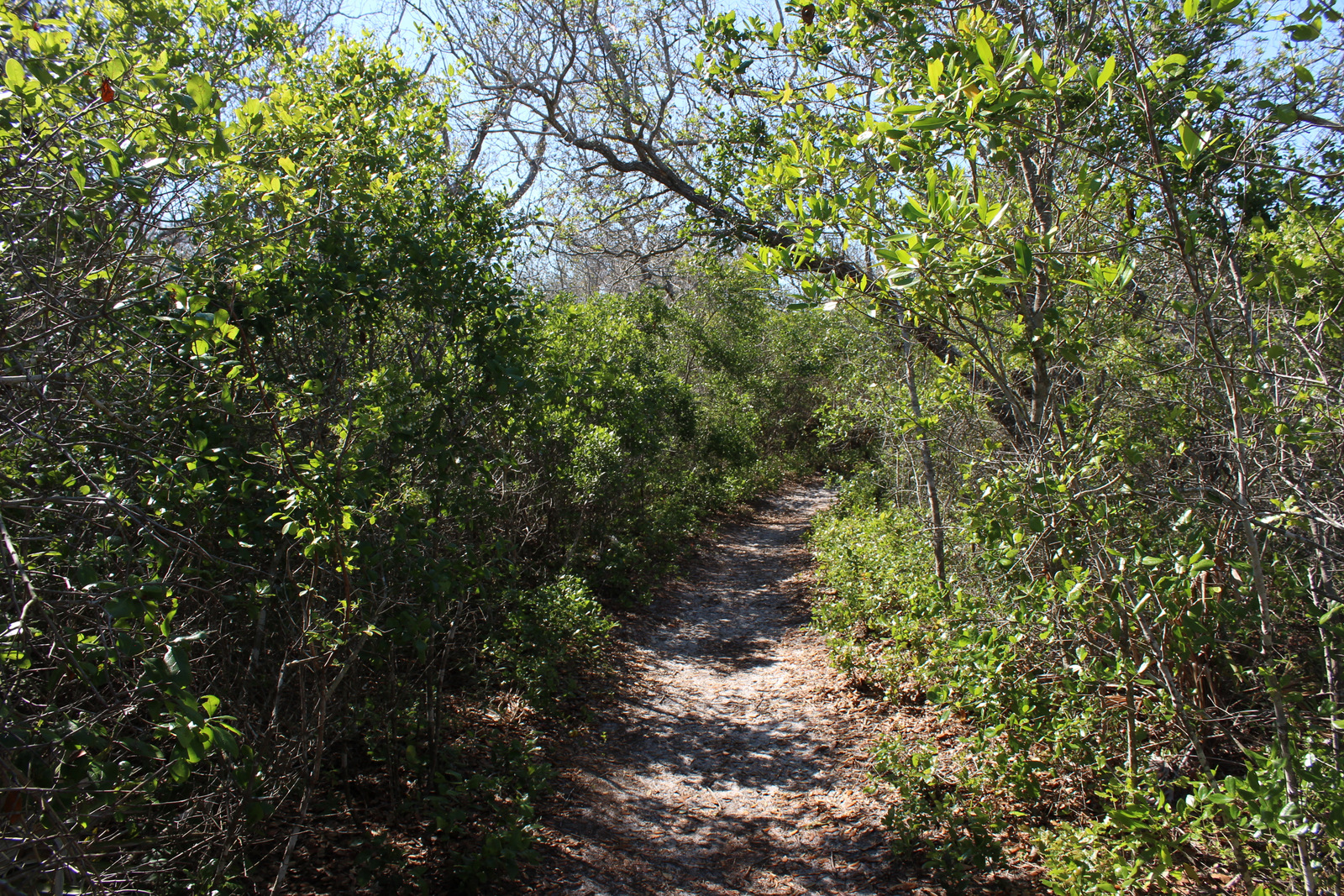
The 1,300-mile long Florida National Scenic Trail starts at Fort Pickens then runs east across Santa Rosa Island.
Instagram-worthy Photo
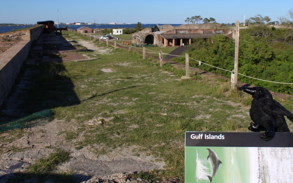
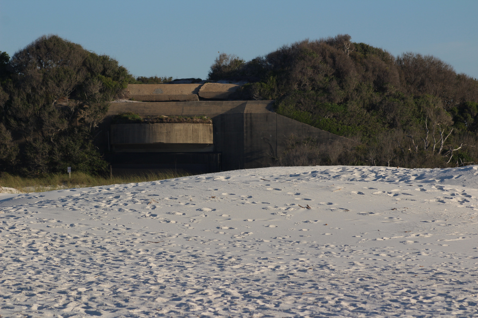
Fort Pickens dates back to 1829 with additional batteries upgraded during World War II. Inside the fort there is a nice museum explaining the history of Santa Rosa Island.

Peak Season
Summer
Hours
https://www.nps.gov/guis/planyourvisit/hours.htm
Fees
$25 per vehicle or free with America the Beautiful pass
Road Conditions
All access roads are paved
Camping
Reservations are highly recommended for the NPS campgrounds on Santa Rosa Island, Florida and Ocean Springs, Mississippi. Primitive camping is allowed on undeveloped East Ship, Horn, and Petit Bois Islands.
Related Sites
Dry Tortugas National Park (Florida)
Canaveral National Seashore (Florida)
Everglades National Park (Florida)


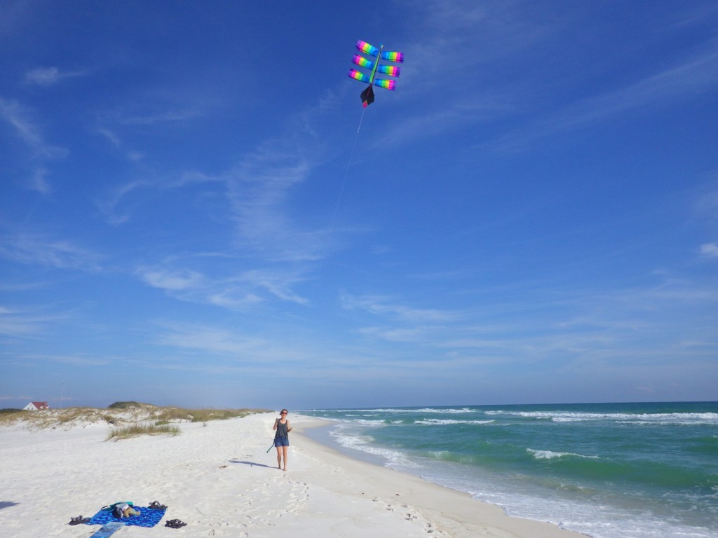
A steady breeze helped us fly our kite 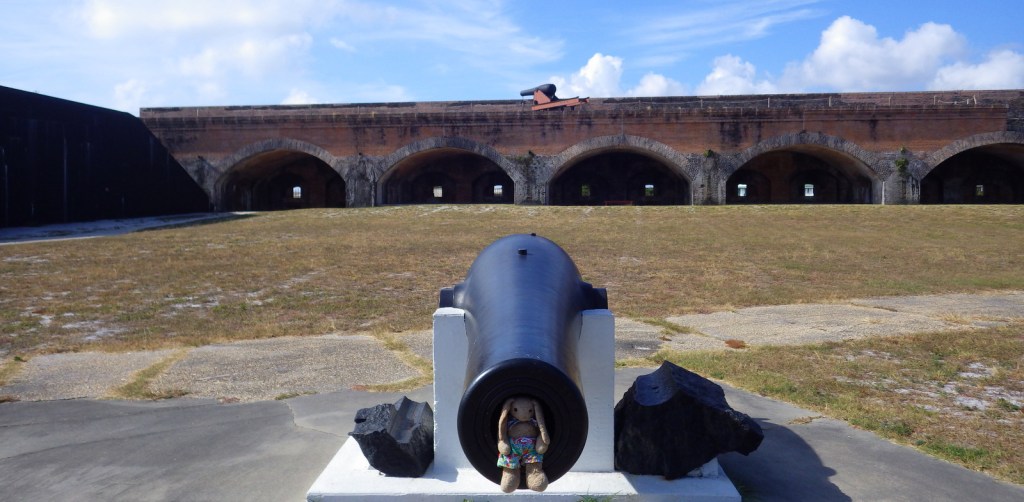
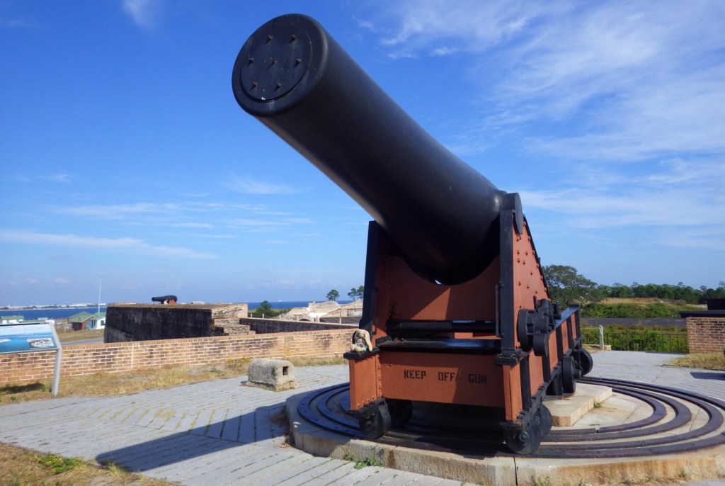
The big guns at Fort Pickens guarded Pensacola Bay for over a century. 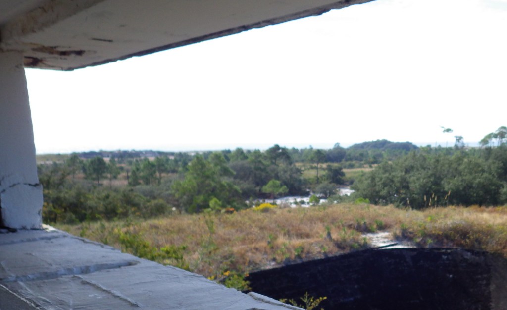
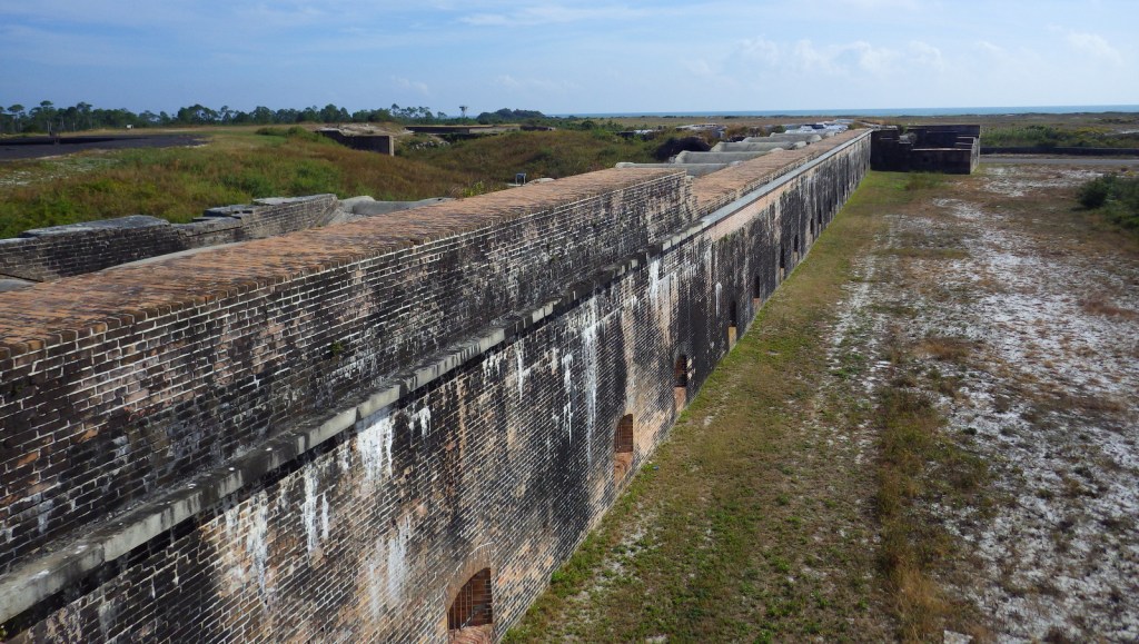
A bird’s eye view of Santa Rosa Island from Battery Worth.


Explore More – What are the four species of sea turtles that nest on the park’s beaches?