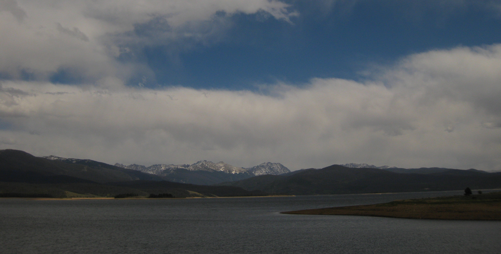
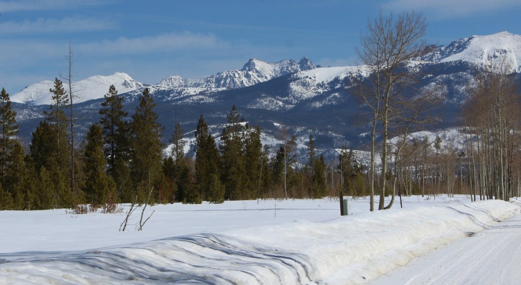
On the west side of Rocky Mountain National Park are the first of many dams across the Colorado River forming several lakes around Granby, Colorado. Arapaho National Recreation Area contains five reservoirs, the largest of which is Lake Granby (but not including Grand Lake and Shadow Mountain Lake). Also nearby, Monarch Lake is the starting point for multiple trails into the Indian Peaks Wilderness. Despite its proximity to the Denver metropolitan area, this untamed country is home to a variety of wildlife including moose, martens, and mountain lions, as well as the river otter and ouzel (or dipper) we saw during our January visit.
Highlights
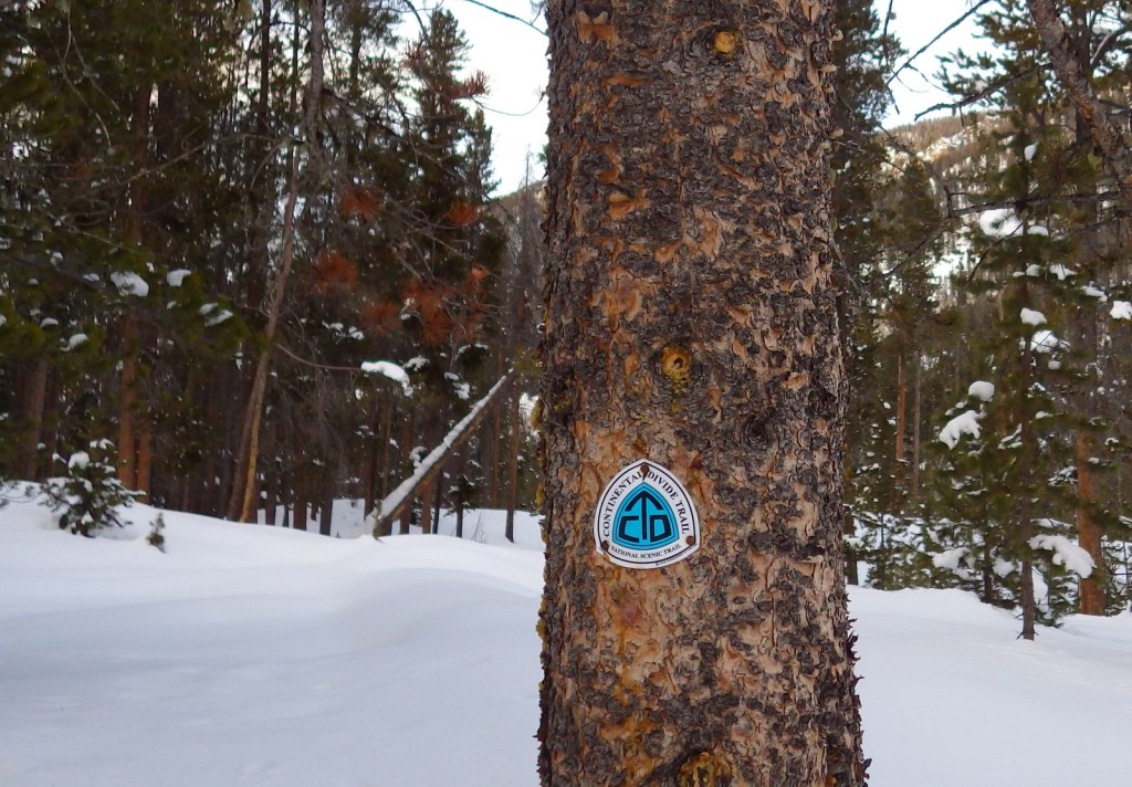
Lake Granby, Monarch Lake, Meadow Creek Reservoir, Roaring Fork Falls, Willow Creek Reservoir, High Lonesome Trail, Continental Divide National Scenic Trail
Must-Do Activity
The largest reservoir in Arapaho National Recreation Area is Lake Granby, an area popular with snowmobilers and ice fisherman in the winter. Summer is also a good time to visit when the lakes are unfrozen and available for boating, swimming, and other water sports. That’s when backpackers on the Continental Divide National Scenic Trail prefer to come through here.
Best Trail
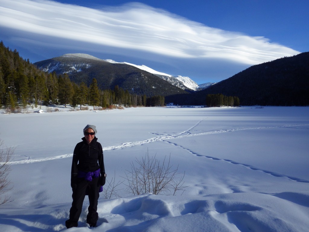
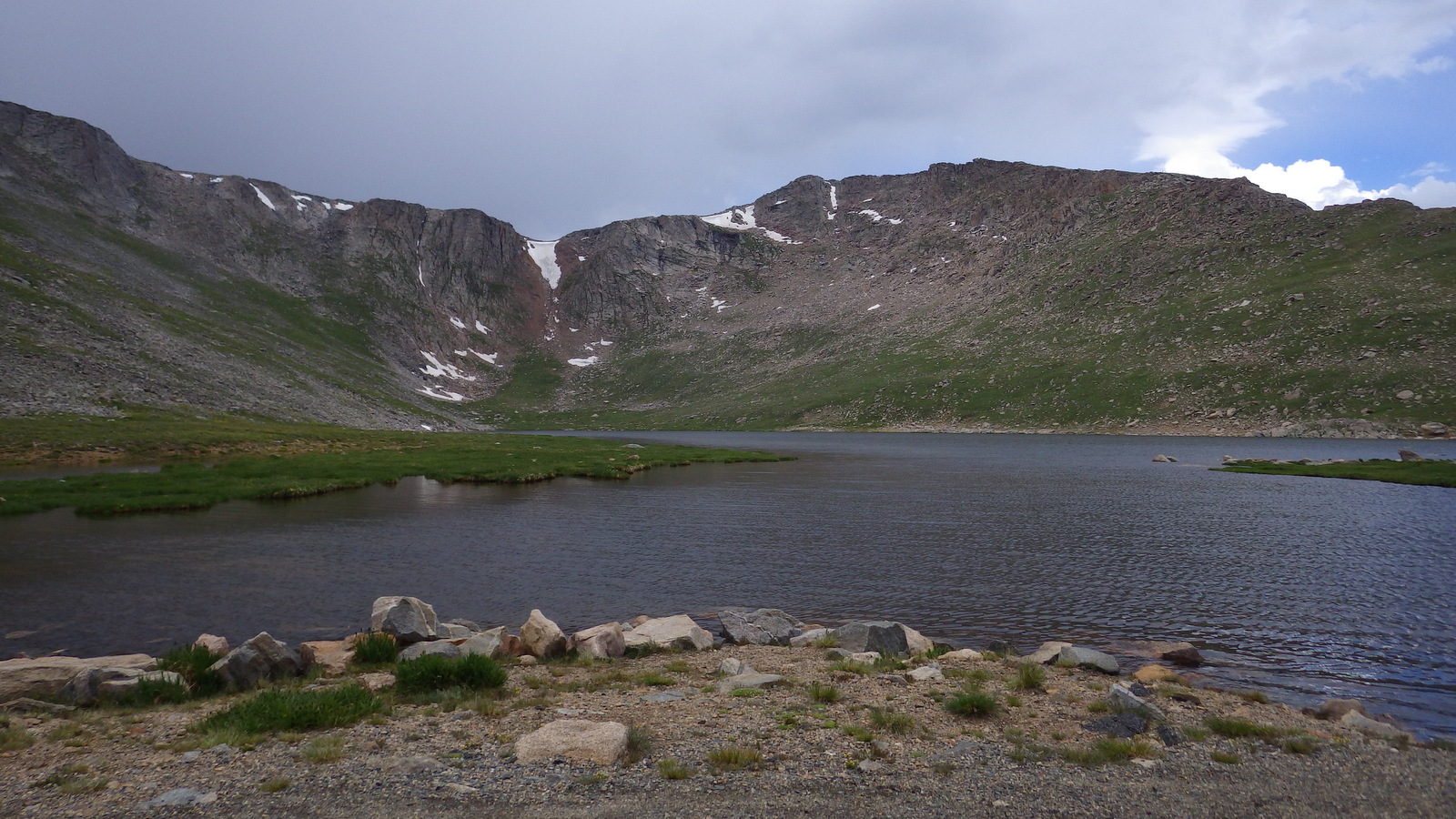
Snowshoers looking for some quiet can drive to the eastern end of Lake Granby and hike a mile to Monarch Lake on a road that is closed during the winter months. Throughout the year, Monarch Lake is the starting point for multiple trails that climb into the high elevations of the Indian Peaks Wilderness, plus the Continental Divide National Scenic Trail.
Instagram-worthy Photo
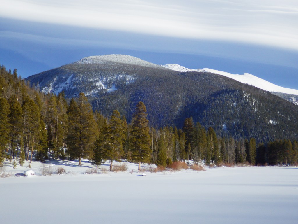
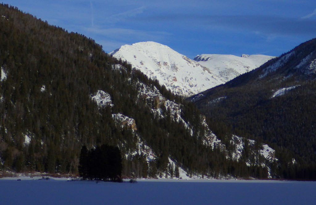
Under a blanket of snow, there is a majestic view from Monarch Lake looking at the Arapaho Creek Valley.
Peak Season
Summer
Fees
During the summer, day-use fees apply at portions of Arapaho National Recreation Area, like Monarch Lake and boat launches.
Road Conditions
The road back to Monarch Lake and many others are closed seasonally due to heavy snow accumulations.
Camping
Campgrounds on the lakes fill up in the summer and even the dirt roads around the west entrance to Rocky Mountain National Park can be jam-packed with dispersed campers.
Arapaho National Forest is managed jointly with Roosevelt National Forest and Pawnee National Grassland in northern Colorado. Easily accessible from Interstate 70 west of Denver, the National Forest is best known for its many ski resorts. Mt. Blue Sky (formerly Evans) Highway and Guanella Pass Scenic Byway provide access to the high country in the summer when a rainbow of wildflowers bloom, both above and below treeline.
Highlights
Arapaho National Recreation Area, Mt. Blue Sky (formerly Evans), St. Mary’s Glacier, Guanella Pass Scenic Byway, Devil’s Thumb Lake, Berthoud Falls, Ute Peak, Boardwalk Trail, Continental Divide National Scenic Trail
Must-Do Activity
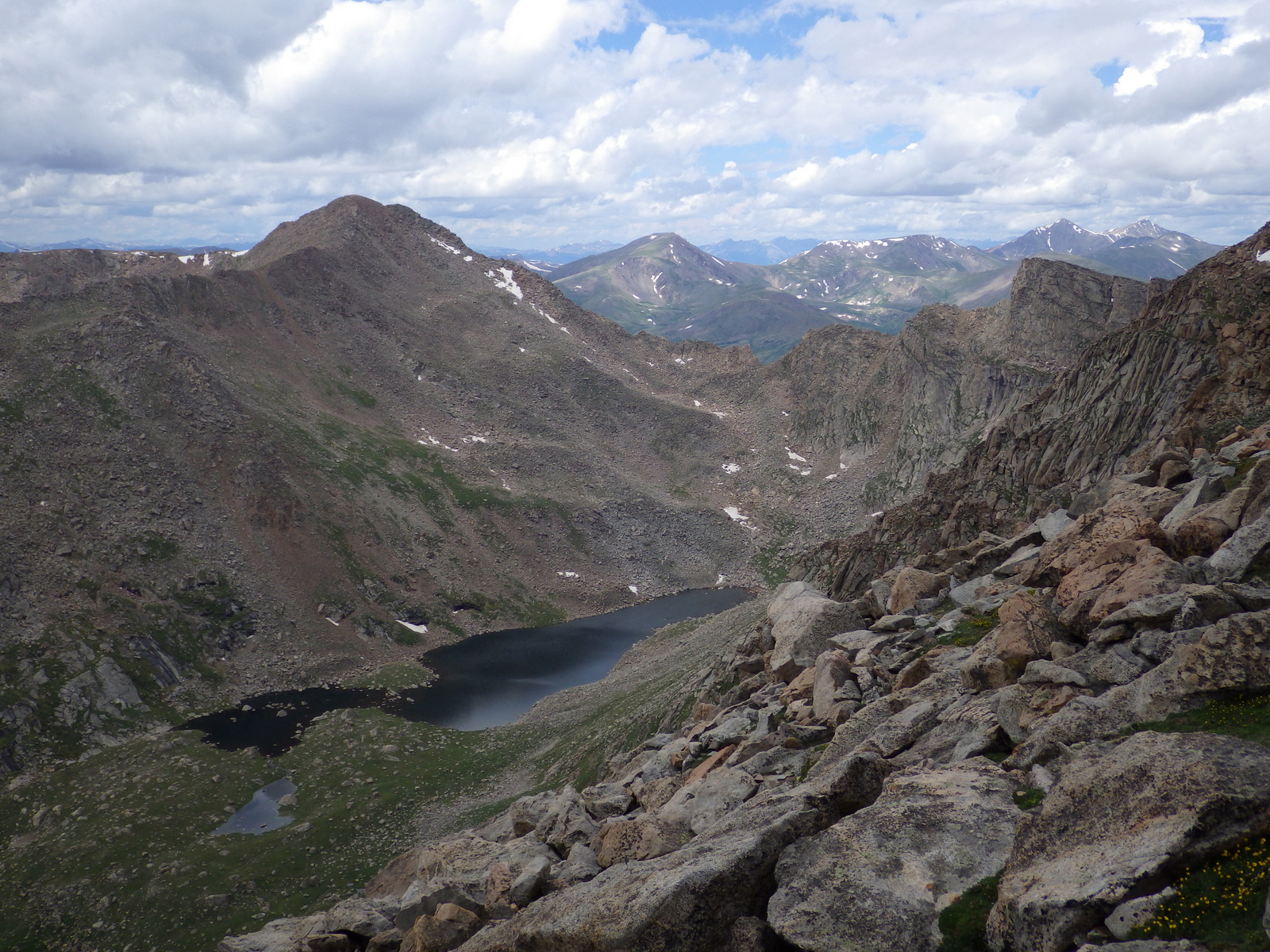
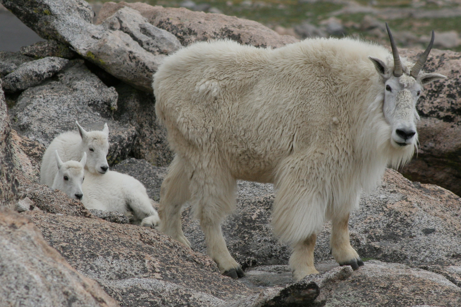
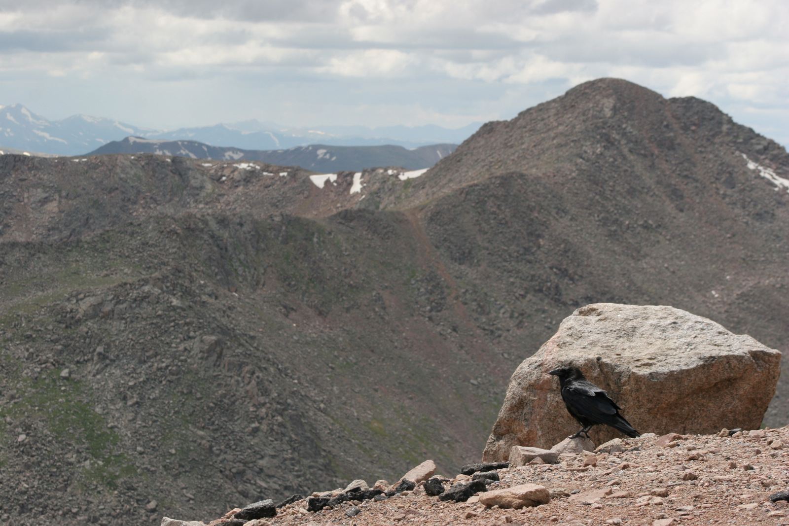
Located just west of Denver, the Mt. Blue Sky (formerly Evans) Highway (the highest fully-paved road in North America) provides access to the rarely-seen world above 14,000 feet in elevation. Online reservations are now required before you show up, so be sure to click to include a stop at Mt. Goliath Research Natural Area, which provides an interpretive hike through a forest of long-lived Rocky Mountain bristlecone pine trees. Keep your eyes sharp for bighorn sheep and mountain goats along the road once you hit the switchbacks around Summit Lake. While the Crest House is no longer in business near the summit, you can still park there and walk the remaining one-hundred feet to the top of the 14,264-foot peak for unsurpassed views.
Best Trail
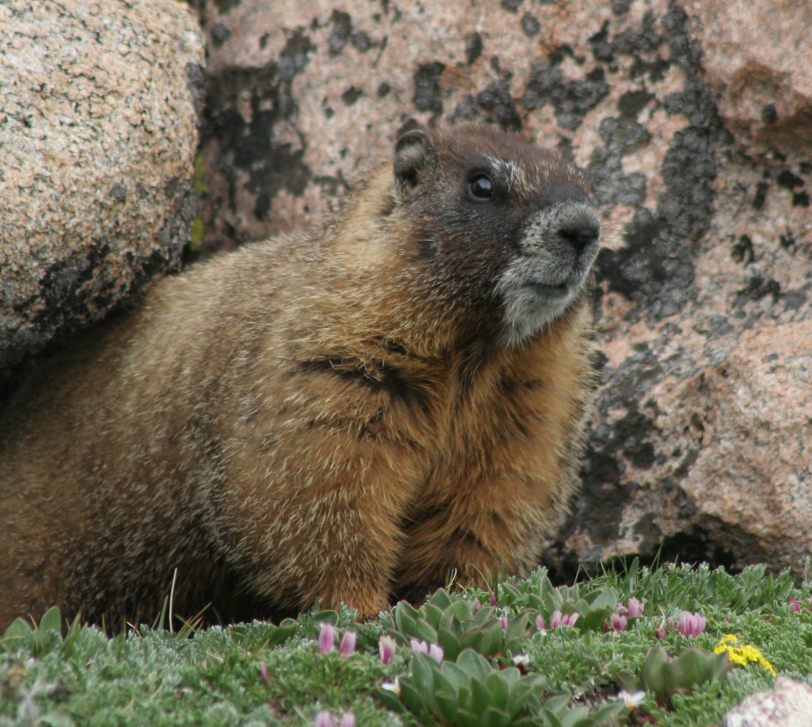
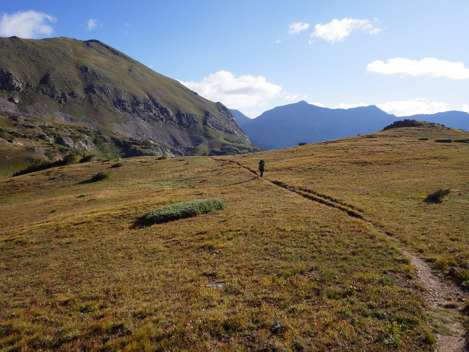
The easiest way to access the aptly-named Never Summer Wilderness is from the Kawuneeche Valley in Rocky Mountain National Park. You can backpack the 18-mile loop of Baker Gulch to Bowen Gulch in either direction, but keep an eye out for moose as we saw six along the way! High elevation dwellers like yellow-bellied marmots and pikas were also abundant along the trail, which enters Routt National Forest on the west side of Fairview Mountain.
Watchable Wildlife
Moose and elk can be found throughout the National Forest, but are often easiest to locate around the west entrance to Rocky Mountain National Park. Bighorn sheep and mountain goats are known to approach cars on the paved road to the top of Mt. Blue Sky (formerly Evans). During our January visit to Arapaho National Recreation Area we spotted a river otter and ouzel (or dipper, a swimming songbird) in one of the few sections of unfrozen creek.
Instagram-worthy Photo
North of the ski resort town of Winter Park is Fraser Experimental Forest, managed by the U.S. Forest Service’s Rocky Mountain Research Station. In winter, roads within Fraser Experimental Forest are closed and turn into routes for cross-country skiers and snowshoers with no entry fee charged.
Peak Season
Summer
Fees
A $15 fee is charged per vehicle (online reservation required before arrival, $2 fee even if you use your America the Beautiful pass) to drive the one-way Mt. Blue Sky (formerly Evans) Highway during its short open season. Also during the summer, day-use fees apply at Fraser Experimental Forest and Arapaho National Recreation Area.
Road Conditions
The road to the top of Mt. Blue Sky (formerly Evans) is paved the whole way, but there are plenty of rough dirt roads to explore throughout Arapaho National Forest. The road back to Monarch Lake is closed seasonally in Arapaho National Recreation Area.
Camping
Campgrounds fill up in the summer and even the dirt roads around the west entrance to Rocky Mountain National Park can be jam-packed with dispersed campers. There are some scenic campgrounds around Fraser Experimental Forest near Winter Park, Colorado.
Wilderness Areas
Byers Peak Wilderness
Eagles Nest Wilderness (also in White River National Forest)
Indian Peaks Wilderness (also in Roosevelt National Forest)
Mt. Blue Sky (formerly Evans) Wilderness (also in Pike National Forest)
Never Summer Wilderness (also in Routt National Forest)
Mt. Blue Sky Scenic BywayMountain goatsMt. Goliath Research Natural AreaYellow-bellied marmotView from atop Mt. Blue SkySummit LakeHighway 40 going north towards Winter ParkTiff at Fraser Experimental ForestNever Summer WildernessNever Summer WildernessNever Summer WildernessRaven about the forest
Explore More – When did research begin in Fraser Experimental Forest on the response of conifer species to different harvesting techniques, insect outbreaks, and climate conditions?
We are a participant in the Amazon Services LLC Associates Program, an affiliate advertising program designed to provide a means for us to earn fees by linking to Amazon.com and affiliated sites.
Angelina National Forest lies in the piney woods region of eastern Texas dominated by longleaf, loblolly, and shortleaf pine trees. In 1935, land acquisition began to create Angelina and the three other nearby National Forests it is co-managed with (Davy Crockett, Sabine, and Sam Houston). Sam Rayburn Reservoir bisects Angelina National Forest into a north and south section in the flooded Neches River Basin.
Highlights
Sam Rayburn Reservoir, Boykin Springs Recreation Area, Caney Creek Recreation Area, Black Branch Barrens, Bouton Lake, Aldridge Sawmill Historic Site, Sawmill Trail
Must-Do Activity
Other than Sam Rayburn Reservoir, the most developed portion of the National Forest is Boykin Springs Recreation Area. The lake, campground, and Civilian Conservation Corps (CCC) structures are at the end of 2.5-mile long Forest Road 313 off Highway 63. About twenty minutes away Bouton Lake (12 acres) is located seven miles down Forest Road 303 and offers primitive camping, fishing, and an overgrown hiking trail amidst bottomland hardwoods and baldcypress trees (please respect the private property on the west side).
Best Trail
The 5.5-mile out-and-back Sawmill Trail connects Boykin Springs Recreation Area to the Aldridge Sawmill Historic Site. The trail goes through a burn and can be hard to follow in places due to multiple user trails, so be sure to follow the yellow-painted metal markers on trees. The sawmill has been heavily sprayed with graffiti, but if you aim your camera up to the second story it does not look as bad. The trail that used to connect to the sawmill from Bouton Lake has been closed since it crossed private property.
Watchable Wildlife
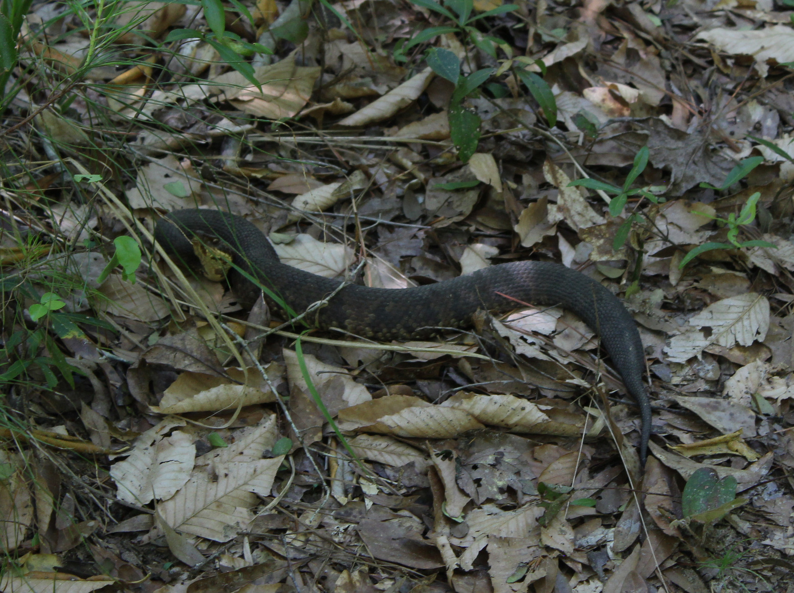
At Boykin Springs Recreation Area we spotted a pileated woodpecker, cardinal, robins, and crows. The endangered red-cockaded woodpecker can be found in the longleaf pine forests. On the Sawmill Trail we saw a copperhead snake near the creek and turtles in the pond at the end. Hunters seek white-tailed deer, wild turkey, American woodcock, and bobwhite quail in the forest, which also provides wintering habitat for bald eagles.
Instagram-worthy Photo
A cool rock spillway originally built by the Civilian Conservation Corps (CCC) in 1938 drains from the nine-acre lake at Boykin Springs Recreation Area. It was reconstructed to its original appearance in the years after Hurricane Rita hit in 2005.
Peak Season
Spring and fall
Fees
None
Road Conditions
Forest Road 303 to Bouton Lake is a very good dirt road, but the west side of the lake is privately owned and a one-lane road leads to a gate, so unless you want to drive backwards for a ways just park as soon as you get to the camping area.
Camping
There are developed campgrounds at Boykin Springs and Caney Creek Recreation Areas, plus an undeveloped (and free) area to camp at Bouton Lake.
Boykin Springs Recreation AreaBoykin Springs Recreation AreaPart of the Sawmill Trail was burnedAldridge Sawmill Pond at Aldridge Sawmill Aldridge Sawmill Copperhead snakeScott’s mother at Boykin Springs Recreation AreaBouton LakeBouton LakeSam Rayburn Reservoir
Conifer Tree Species
baldcypress, longleaf pine, shortleaf pine, loblolly pine
Flowering Tree Species
laurel oak, blackjack oak, post oak, overcup oak, swamp chestnut oak, cherrybark oak, water oak, black hickory, water hickory, red maple, American beech, American holly, yaupon holly, southern magnolia, sweetbay magnolia, swamp red bay, water tupelo, water elm, winged elm, Carolina ash, green ash, wax myrtle
Explore More – Other than looking cool, what function do the knees serve that protrude from the baldcypress root system?
We are a participant in the Amazon Services LLC Associates Program, an affiliate advertising program designed to provide a means for us to earn fees by linking to Amazon.com and affiliated sites.
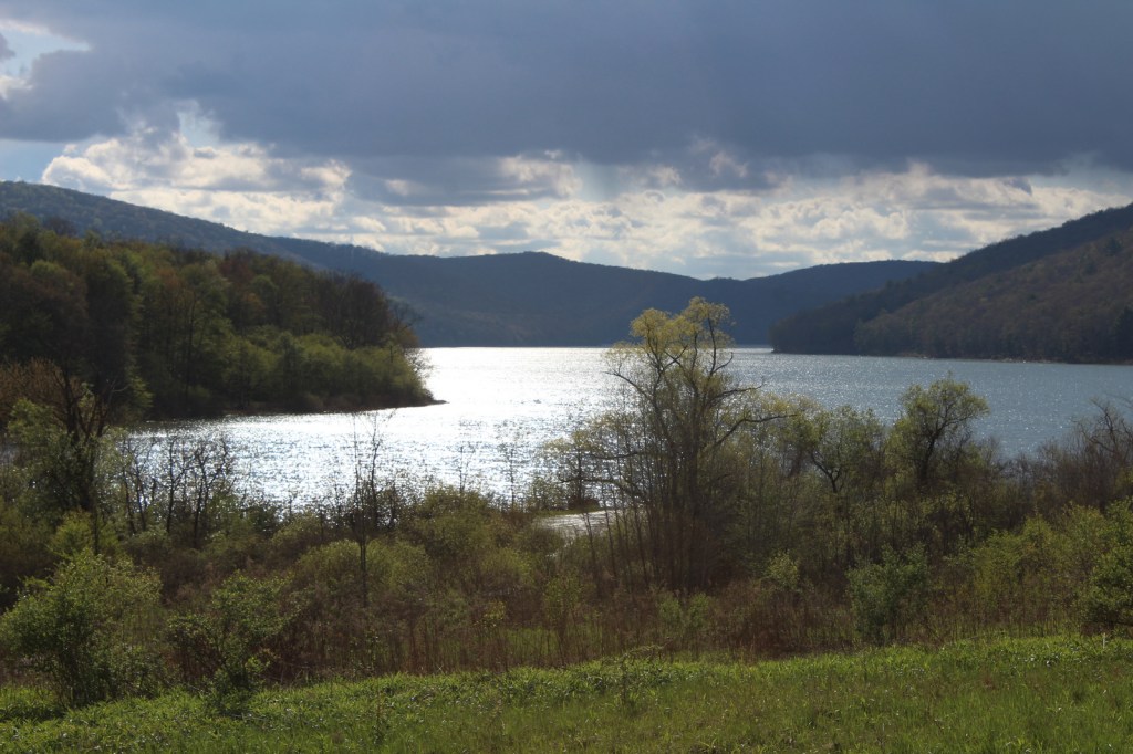
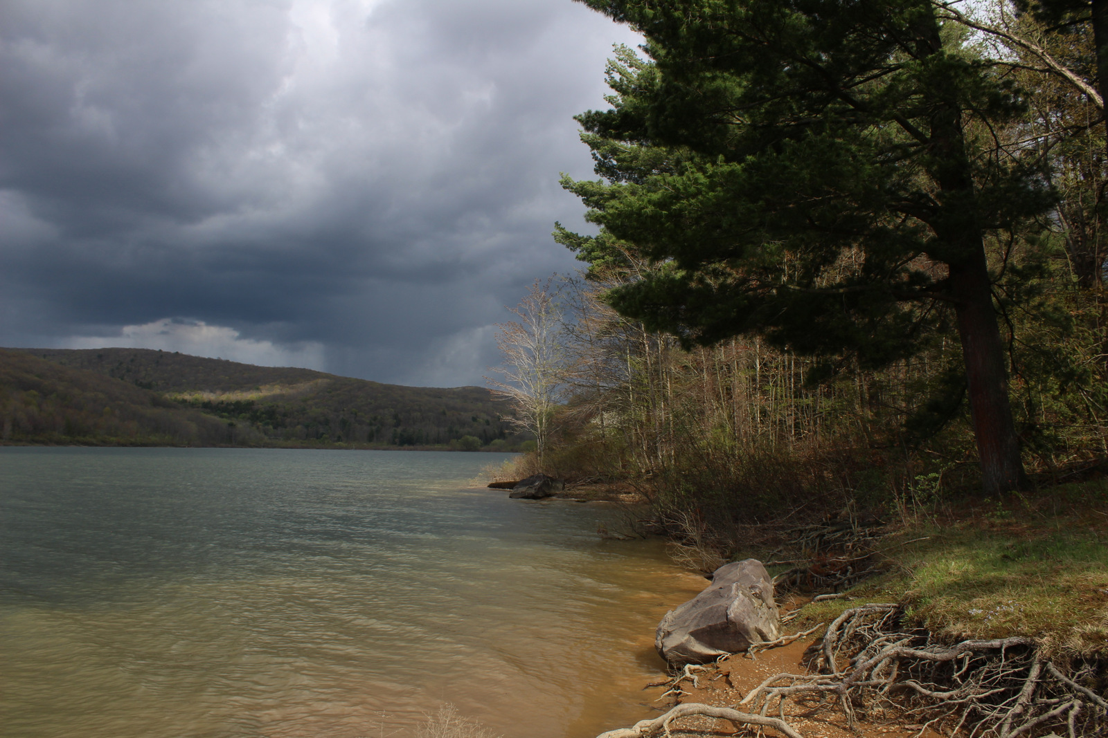
Allegheny National Recreation Area was created by Congress in 1984 under the Pennsylvania Wilderness Act. It is managed as three separate parcels of land within Allegheny National Forest. The first is named Cornplanter after an Iroquois warrior and leader during the American Revolution and it has two boat launches and no developed trails on the federal lands west of the Allegheny Reservoir. The second is Tracy Ridge to the east of the reservoir, which we will discuss below. Farther south, the third parcel is the Allegheny Front on the east side of the Allegheny River from Charlie Run to South Slater Run, bordered on the west by Highway 62.
Highlights
Willow Bay Recreation Area, Tracy Ridge Hiking Trail System, North Country National Scenic Trail
Must-Do Activity
Tracy Ridge is easily accessible from scenic State Highway 321 and it has an extensive system of hiking trails, including a 10-mile section of the North Country National Scenic Trail. Further north, Willow Bay Recreation Area (day-use fee) is the most developed portion of Allegheny National Recreation Area. The waters of the Allegheny Reservoir between Cornplanter and Tracy Ridge are also considered to be part of the National Recreation Area with three developed boat-in campgrounds (fee).
Best Trail
In addition to the Tracy Ridge Hiking Trail System, the undeveloped Allegheny Front parcel contains a three-mile segment of the Tanbark Trail. These areas are popular with hunters, so remember to wear fluorescent clothing during hunting seasons.
Instagram-worthy Photo
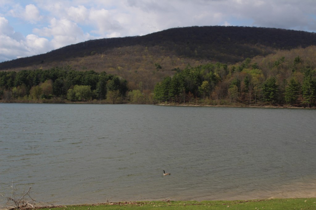
While having lunch near the dock in Willow Bay Recreation Area, we saw a bald eagle, a red-tailed hawk, ravens, and a flock of Canada geese.
Peak Season
Summer
Fees
There is an entrance fee at Willow Bay Recreation Area, but it is half price with an America the Beautiful pass. Even if you hike in to Hopewell and Handsome Lake Campgrounds on the shores of the Allegheny Reservoir, you need to pay the overnight camping fee. Based on the signs, we think that backpacking in Tracy Ridge is free.
Road Conditions
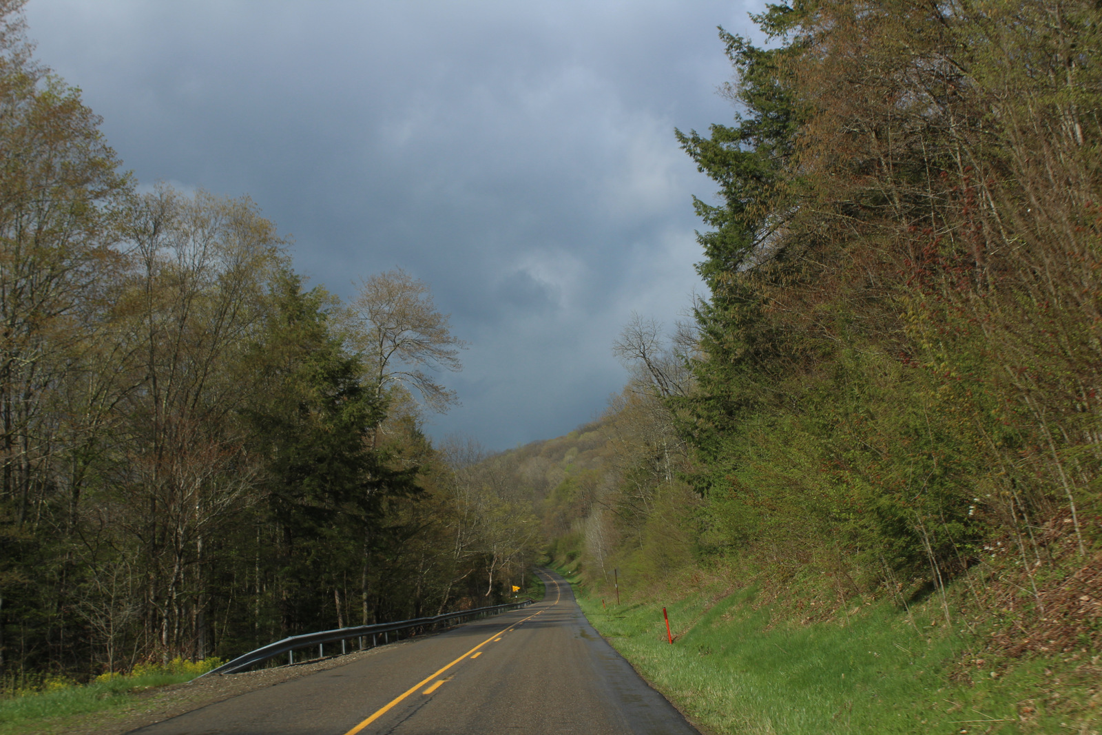
We did not come across any unpaved roads while driving through Allegheny National Recreation Area, but they probably exist.
Camping
Willow Bay Recreation Area and Tracy Ridge have drive-in campgrounds, plus Hooks Brook, Hopewell, and Handsome Lake are accessible by boat. Dispersed camping is allowed for no more than 14 consecutive days at one site and not within 1500 feet of the Allegheny Reservoir. The same goes for backpacking sites on the Tracy Ridge Hiking Trail System where hanging bear bags or using bear-proof containers is recommended.
Willow Bay Recreation AreaWillow Bay Recreation AreaAllegheny ReservoirWillow Bay Recreation AreaAllegheny ReservoirRed-tailed hawkAllegheny ReservoirCampground at Willow Bay Recreation Area
Explore More – When it is completed, how long will the North Country National Scenic Trail be in its entirety?
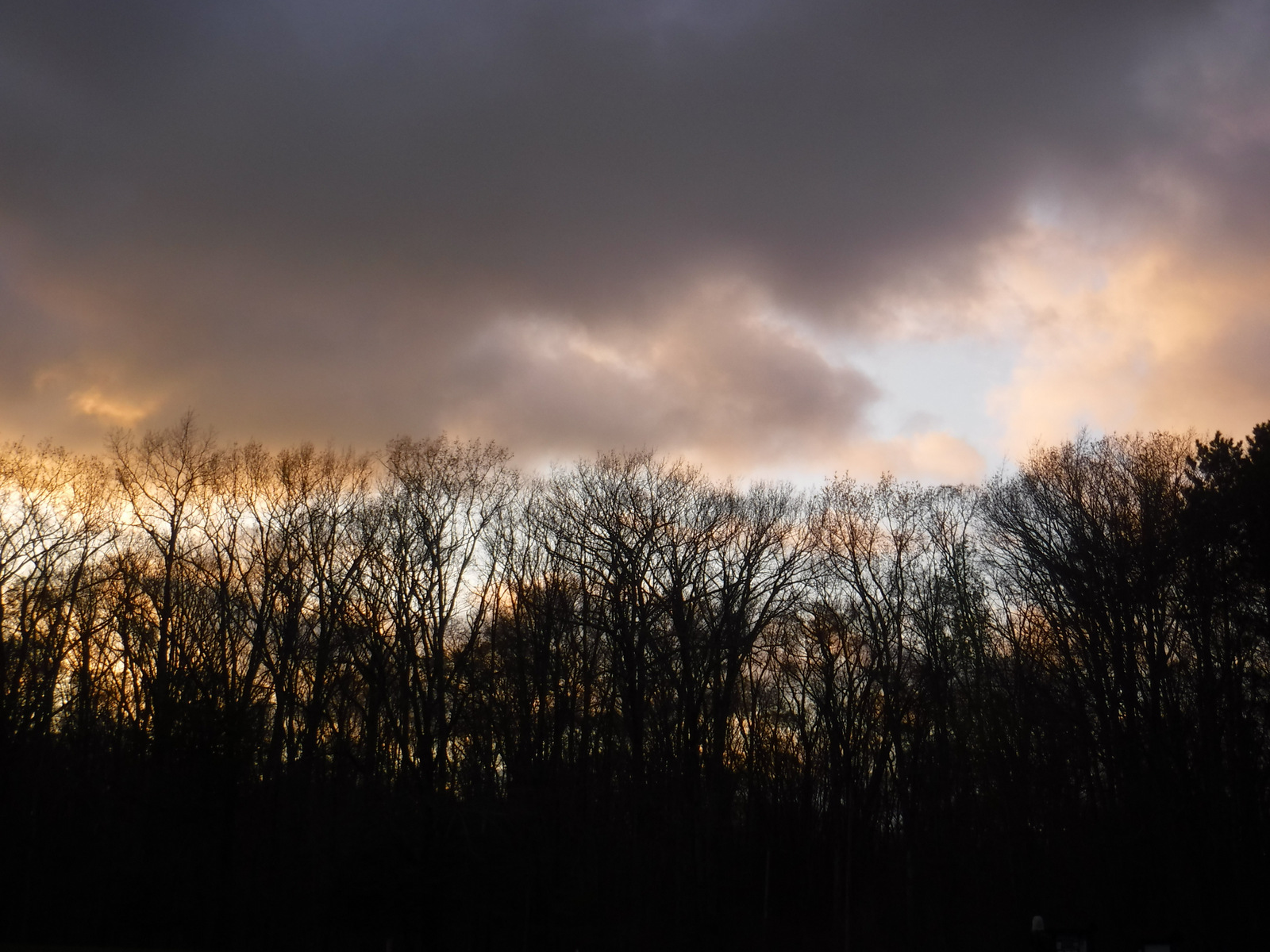
The only National Forest in Pennsylvania was created in 1923 utilizing the federal government’s ability to purchase land under the Weeks Act of 1911. However, they could not afford the subsurface or mineral rights, which has created issues in this oil-producing area. Before it became Allegheny National Forest, most of the hillsides were clearcut to feed the area’s wood chemical plants, allowing black cherry and early successional species to dominate the second growth forests. The National Forest contains two Wild and Scenic Rivers: the Clarion River (51.7 miles) and Allegheny River (87 miles in three separate sections).
Highlights
Allegheny National Recreation Area, Hearts Content Scenic Area, Willow Bay Recreation Area, Old Powerhouse, Timberdoodle Flats Interpretive Trail, Minister Creek, Buzzard Swamp Hiking Area, Clarion Wild and Scenic River, Allegheny Wild and Scenic River, Buckaloons Recreation Area, Hall Barn Wildlife Viewing Area, North Country National Scenic Trail
Must-Do Activity
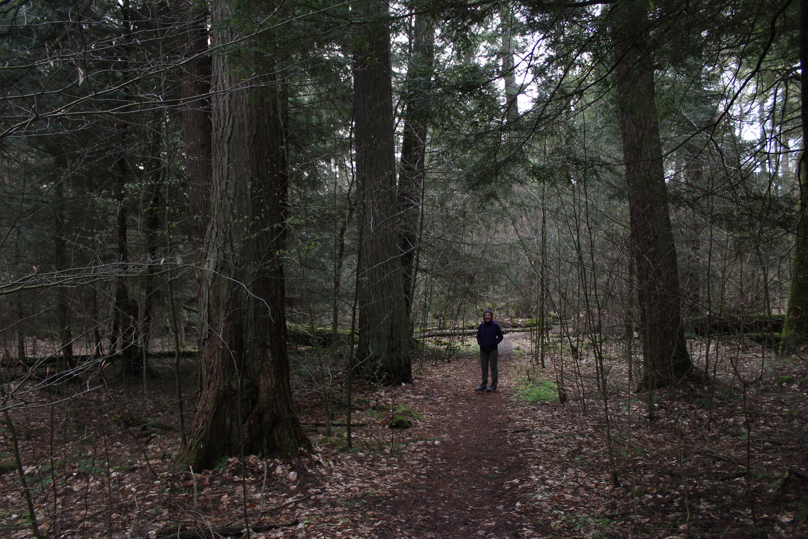
A good place to start exploring Allegheny National Forest is by driving the Longhouse Scenic Byway, a 36-mile loop, which includes views of the Allegheny Reservoir and Kinzua Dam, plus a side trip up to Jakes Rocks Overlook. We drove in from the east and found the easy walks on the Timberdoodle Flats Wildlife Interpretive Trail to be a good introduction to this region. This is one of the few places in Pennsylvania with old-growth forests, so be sure to stop at Hearts Content Scenic Area or Tionesta Scenic and Research Natural Areas.
Best Trail
Huge eastern hemlock and eastern white pine trees up to 400 years old can be found in the 20-acre Hearts Content Scenic Area. This National Natural Landmark has a picnic area constructed by the Civilian Conservation Corps (CCC) and is located across from a nice campground. There are two short, flat loop trails located here, but you can also connect into 7.8 miles of cross-country skiing and snowshoeing routes. Other popular hiking destinations include Rimrock Trail and a 10-mile section of the North Country National Scenic Trail within the Tracy Ridge Hiking Trail System (see our post on Allegheny National Recreation Area for more information).
Watchable Wildlife
As hard as it is to believe given their prevalence now, low populations of white-tailed deer in the 1920s allowed this new National Forest to grow back quickly. Campers should exercise caution with their food and trash since black bears are in the area. Turkeys, bald eagles, barred owls, Canada geese, black-capped chickadees, and pileated woodpeckers are common bird species. Hall Barn Wildlife Viewing Area is known for its summer population of 1,000 roosting bats. There is also evidence of beavers on the Timberdoodle Flats Wildlife Interpretive Trail. Allegheny Reservoir has walleye, trout, bass, catfish, northern pike, and muskellunge, and small native brook trout can be found in the Farnsworth Stream and other creeks. We recently learned that the PA Firefly Festival is held in Tionesta, Pennsylvania every June because of their population of synchronous fireflies (or lightning bugs).
Instagram-worthy Photo
Kinzua Dam was completed in 1965 and stands 179 feet tall and 1,897 feet in length. Kinzua is a Seneca Indian word that translates as “place of many big fishes.” Watch for fish that gather in eddies at the edges of the Allegheny Reservoir near the dam, but remember that fishing and feeding the fish is prohibited at this spot.
Peak Season
Summer
Fees
There is an entrance fee at both Willow Bay and Buckaloons Recreation Areas, but it is half price with an America the Beautiful pass.
Road Conditions
All roads are paved to Willow Bay Recreation Area and Hearts Content Scenic Area, which are popular with RV campers.
Camping
Allegheny National Forest contains 15 campgrounds with more than 1,000 sites, and Willow Bay Recreation Area also has cabins for rent. We enjoyed our stay at Heart’s Content Campground, but found Buckaloons Campground to be too crowded. Allegheny Islands Wilderness has seven islands that can be used for boat-in dispersed camping.
sugar maple, black maple, red maple, striped maple, silver maple, mountain maple, yellow birch, sweet birch, black walnut, bitternut hickory, shagbark hickory, sycamore, American beech, white ash, tulip-poplar, green ash, cucumber magnolia, quaking aspen, bigtooth aspen, black cherry, pin cherry, choke cherry, northern red oak, basswood, American elm, slippery elm
Explore More – Timberdoodle is a local nickname for which native bird species that nests in this forest?