Overview
Glen Canyon National Recreation Area encompasses 1.2-million acres surrounding the snaky shoreline of Lake Powell, named for geologist John Wesley Powell who led a mapping expedition down the Colorado River in 1869. The reservoir was formed by the Glen Canyon Dam, which was built between 1956-63 to store water for the Southwestern U.S. and generate hydroelectricity. The damming was controversial because it destroyed archaeological sites, submerged scenic canyons, and altered the flow of the Colorado River into Grand Canyon National Park.

Highlights
Horseshoe Bend Overlook, Lake Powell, Glen Canyon Dam, Cathedral Wash, Lees Ferry, Hole-in-the-Rock
Must-Do Activity
The National Park Service (NPS) run Carl Hayden Visitor Center in Page, Arizona is a good place to start a visit, where you can purchase tickets for a dam tour. The meandering lake has about 2,000 miles of shoreline (mostly in Utah) with plenty of coves to explore and spend the night aboard a houseboat (rentals available). If you do not want to attempt navigation there are many commercial boat trips, including an all-day cruise to Rainbow Bridge National Monument. If you plan to stay on land, be sure to walk out to Horseshoe Bend Overlook, hike through the high desert landscape, or drive some of the hundreds of miles of dirt roads.
Best Trail
Wiregrass Canyon is located east of Big Water, Utah and the rocky trail passes hoodoos and two natural bridges.
Instagram-worthy Photo
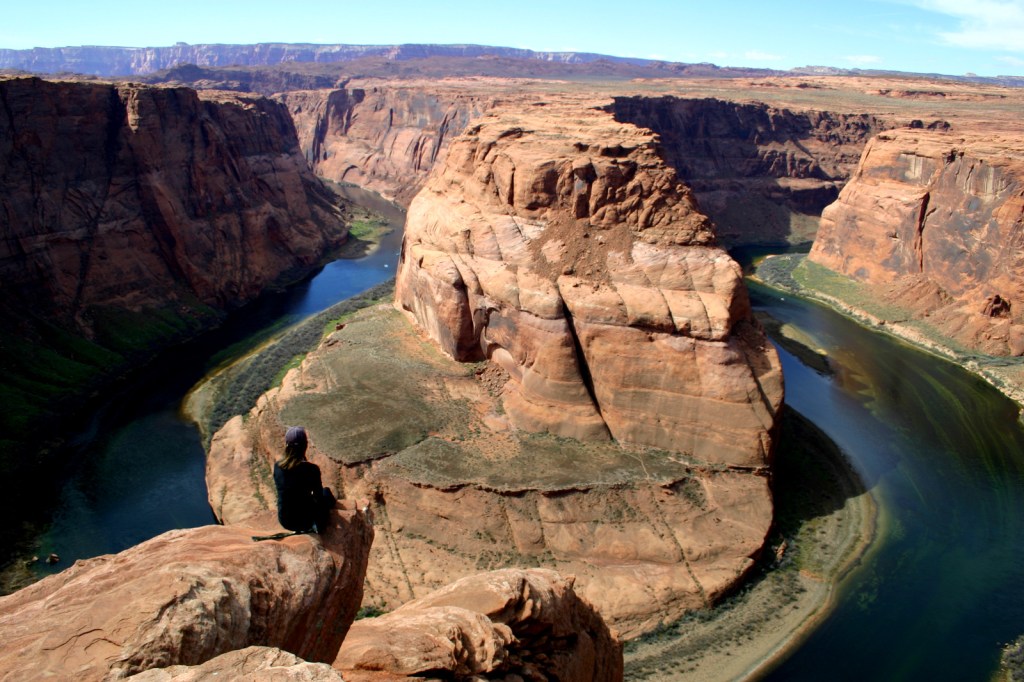
You might want to bring your “selfie stick” to iconic Horseshoe Bend Overlook, a short 0.7-mile one-way hike from the parking area on Highway 89 outside Page, Arizona.
Peak Season
Spring and fall
Hours
https://www.nps.gov/glca/planyourvisit/hours.htm
Fees
Parking is now $10 at Horseshoe Bend Overlook (no NPS passes accepted), but many other sites are free. There is a $30 per vehicle entrance fee at some marinas (NPS passes accepted), in addition to charges for the dam tour and guided boat tours.
Road Conditions
This park is famous for its backcountry 4×4 roads (like Hole-in-the-Rock Road) and flash floods, so check with a park ranger before attempting anything unpaved. A fee is charged to ferry across the lake between Halls Crossing and Bullfrog Marina.
Camping
There are several developed campgrounds (mostly near marinas), but free primitive camping is allowed along most dirt roads. A permit is required for overnight camping in the beautiful Coyote Gulch area, which is popular with backpackers.
Related Sites
Lake Mead National Recreation Area (Nevada-Arizona)
Canyon de Chelly National Monument (Arizona)
Capitol Reef National Park (Utah)
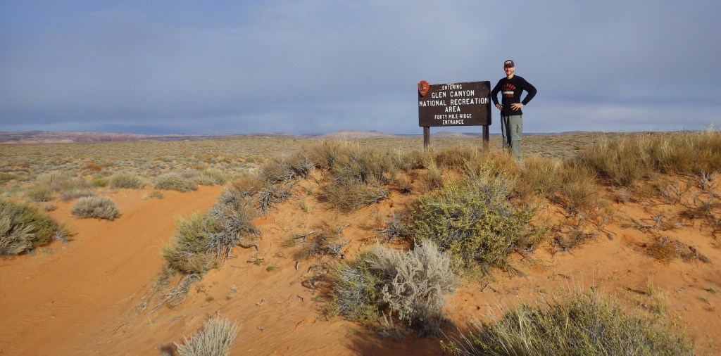
Scott at the 4×4 park entrance off Hole-in-the-Rock Road 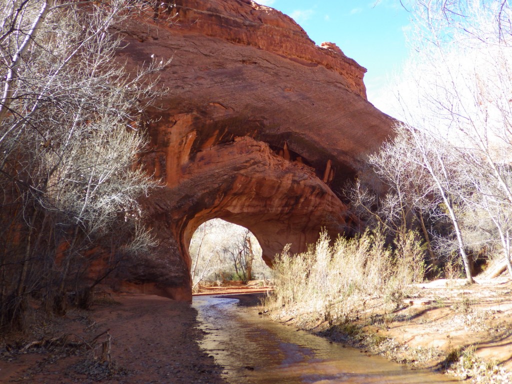
Coyote Natural Bridge in Coyote Gulch 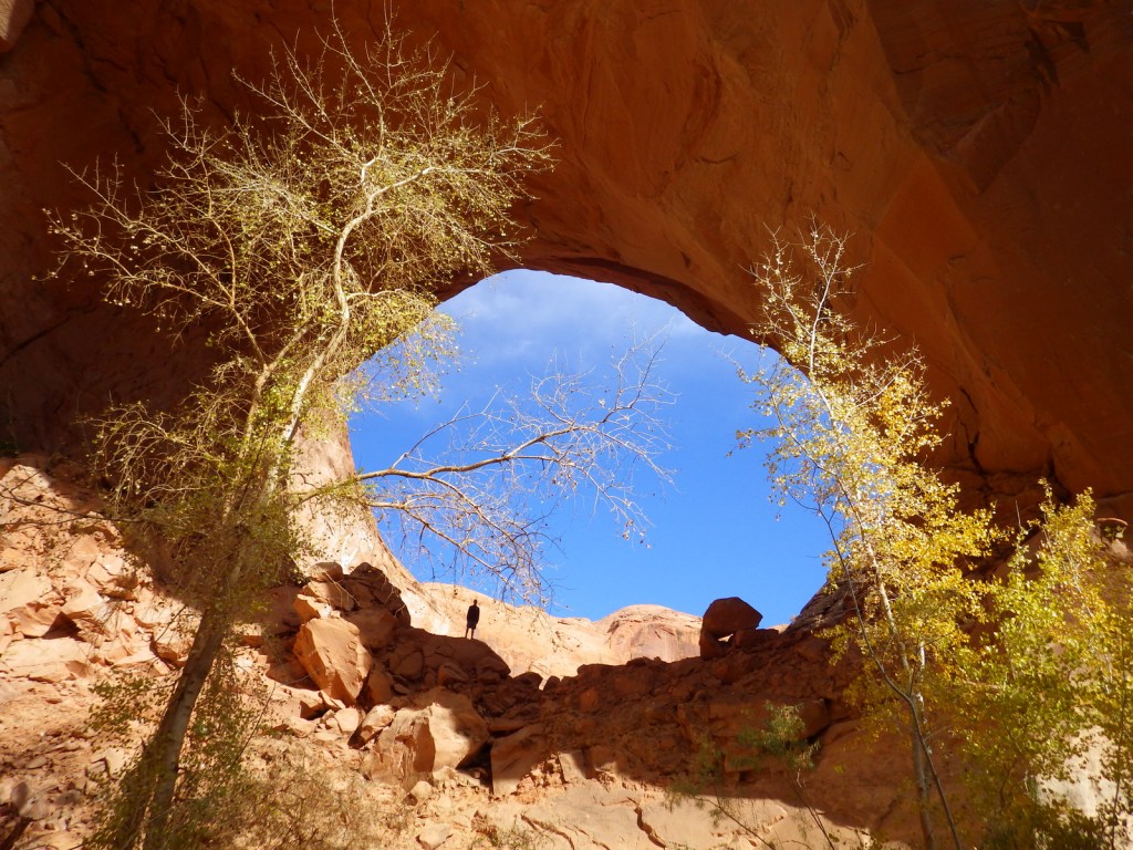
Jacob Hamblin Arch 
People lowered wagons down this Hole-in-the-Rock 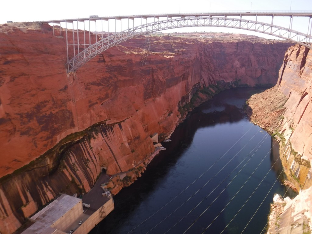
Glen Canyon Dam Bridge 
View on the dam tour 
Turbines inside the dam 
Lake Powell 
Tour boat going through narrow Castle Rock Cut 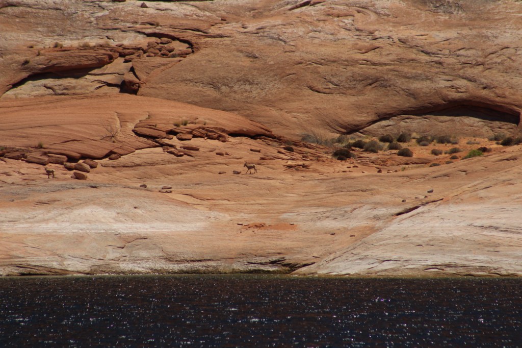
Bighorn sheep on shore 
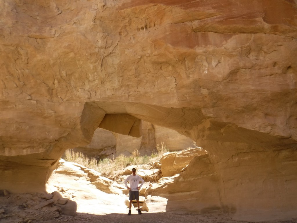
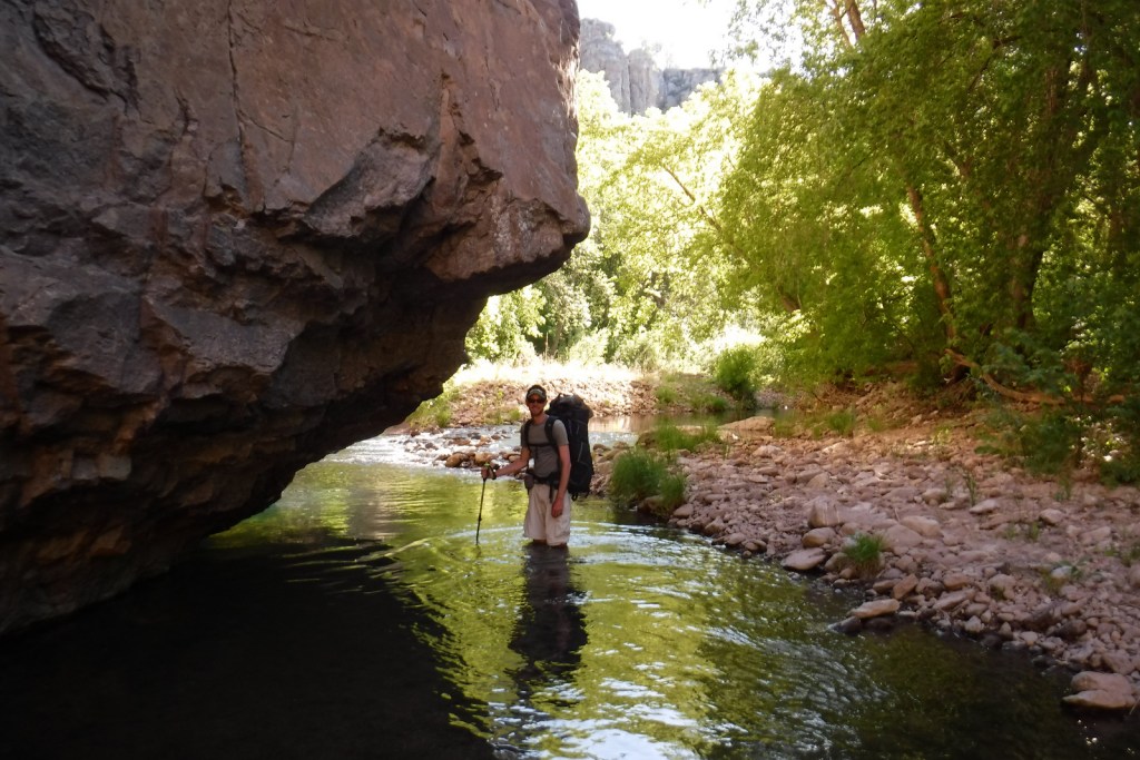
Scott under a natural bridge in Wiregrass Canyon 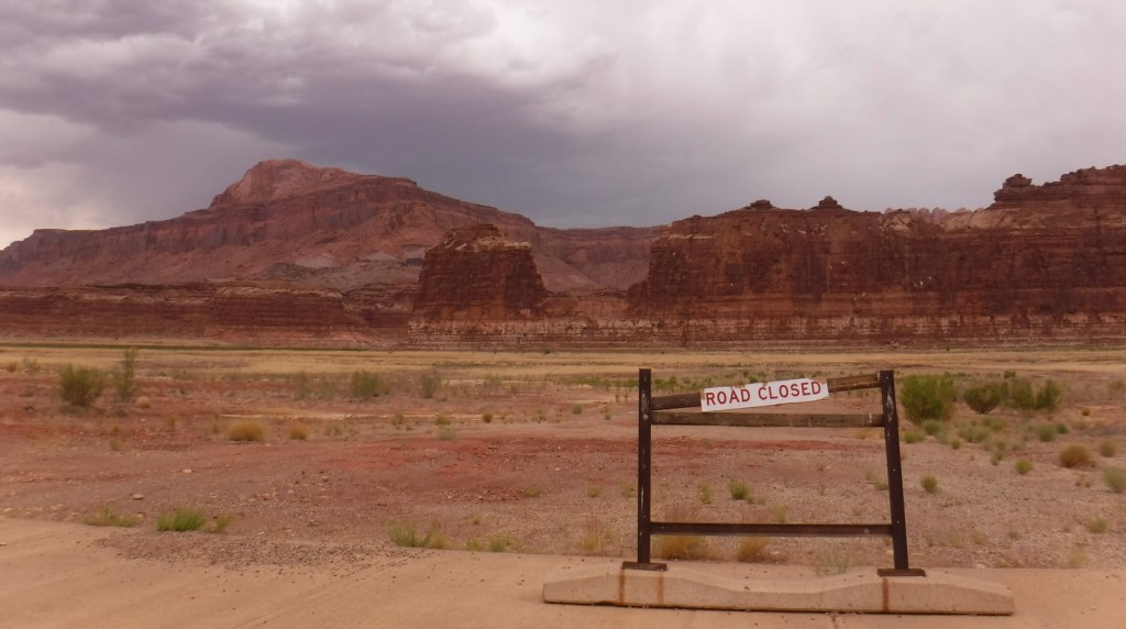
Hite Marina is currently closed due to low water levels
Explore More – Lake Powell is well known for its “bath tub ring,” so when did the reservoir last reach its high-water mark?