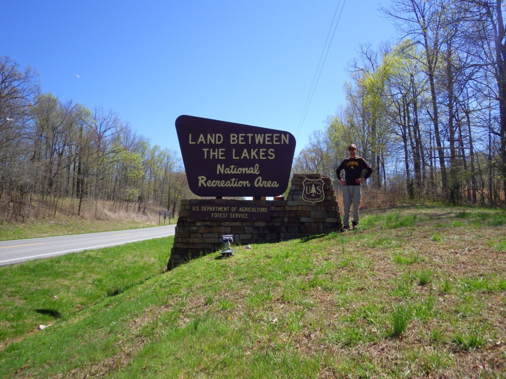
Davy Crockett National Forest
Texas
Managed by U.S. Forest Service, Southern Region
394,200 acres (160,647 federal/ 233,553 other)
Website: https://www.fs.usda.gov/texas
Overview
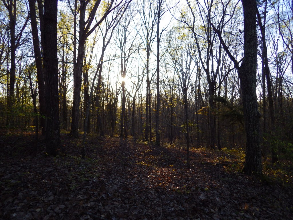
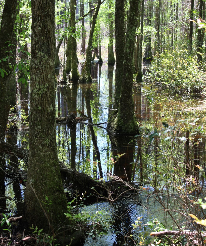
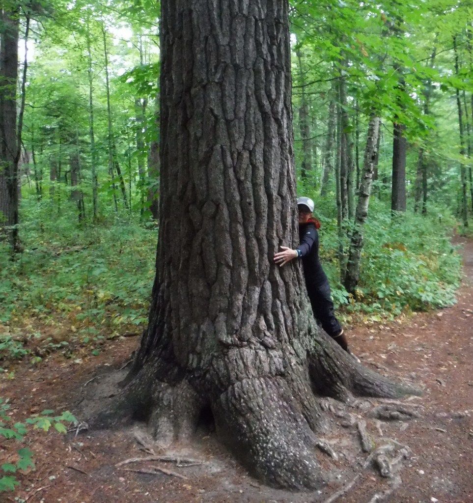
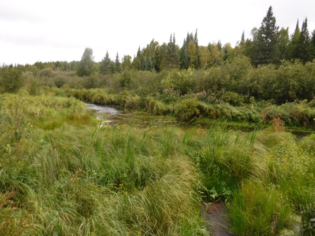
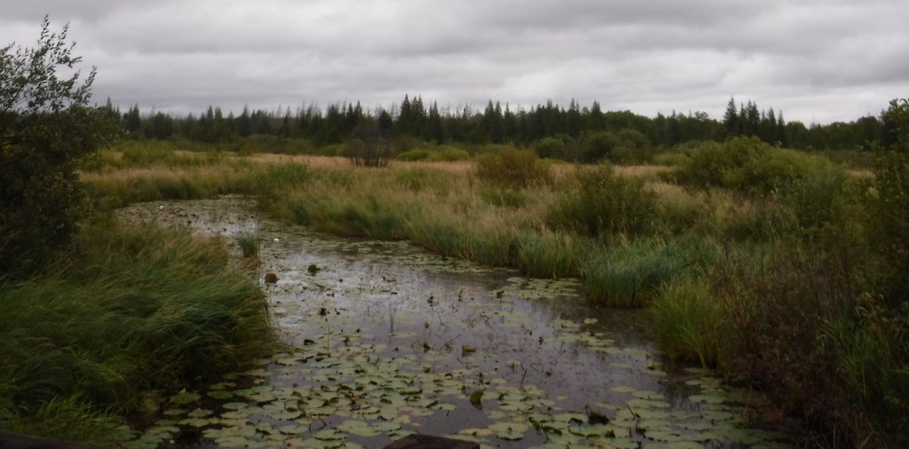
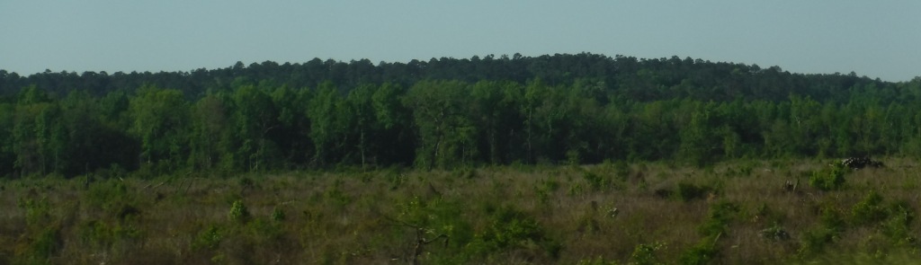
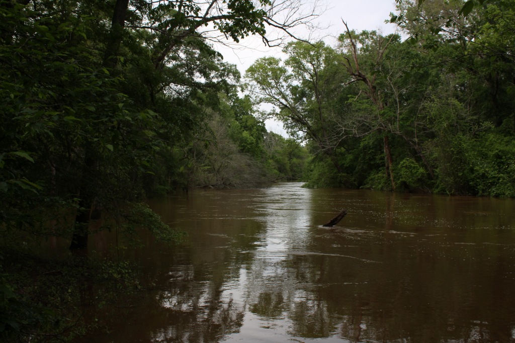
The pine forests and blackland prairies of Davy Crockett National Forest are situated between Lufkin and Crockett, Texas. The National Forest is located within the Trinity and Neches River basins, where the Big Slough Canoe Trail explores the swampy 3,639-acre Big Slough Wilderness. David Crockett was a frontiersman, soldier, and Tennessee politician who died at the infamous Battle of the Alamo in 1836 and later became an almost-mythical American folk hero known as the “King of the Wild Frontier.” This swampy stretch of eastern Texas is a fitting place to be his namesake.

Highlights
Ratcliff Lake Recreation Area, Holly Bluff Campground, Neches Bluff Overlook, Neches River, Big Slough Canoe Trail, Tall River Trail, Four C Trail
Must-Do Activity
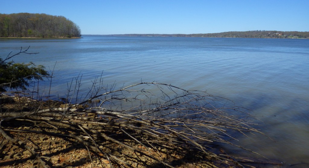
Davy Crockett National Forest’s most developed site is Ratcliff Lake Recreation Area, where several trails run near the campsites that surround the 45-acre lake, including one end of the 20-mile-long Four C National Recreation Trail. The site also has a bathhouse, picnicking and swimming areas, and boat ramps.
Best Trail
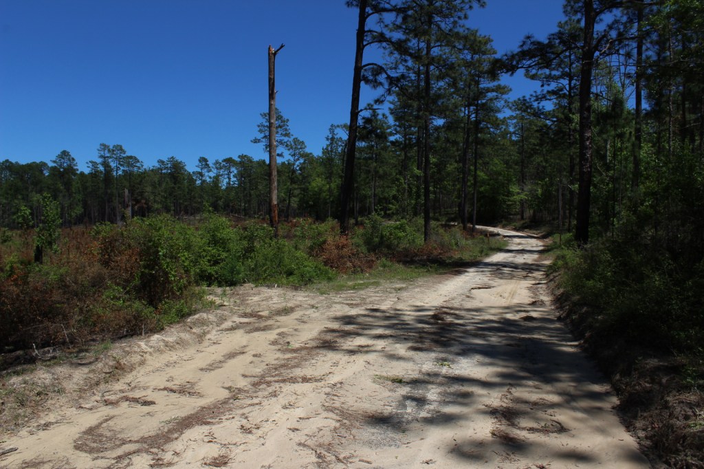
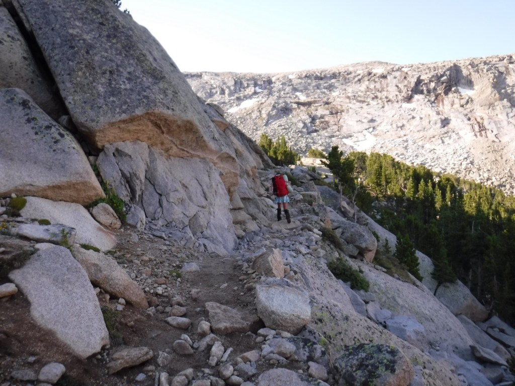
The 20-mile Four C National Recreation Trail connects Ratcliff Lake Recreation Area with Neches Bluff Overlook, although hurricane damage closed the northern portion of the trail in 2019. The trail is named after the Central Coal and Coke Company, which had a sawmill at Ratcliff Lake. Much of the well-marked route follows abandoned tramways built by the company to haul logs. The two trailheads are easily accessible from highways, but no backpack camping is allowed during deer hunting season (November through January).
Watchable Wildlife
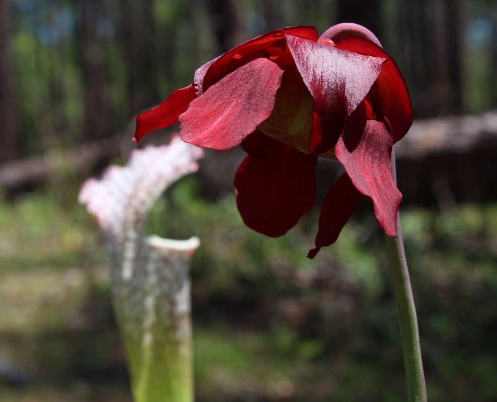
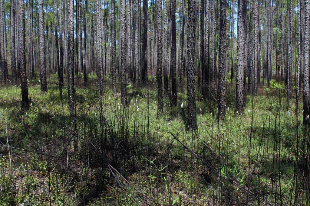
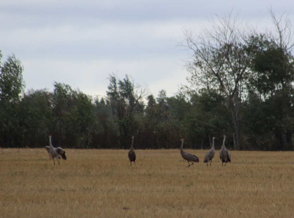
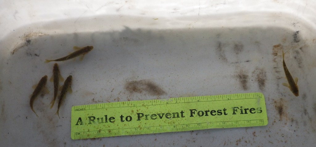
Fishing is a major draw to Ratcliff Lake, as is hunting for white-tailed deer, fox squirrels, northern bobwhite quail, doves, wild turkeys, and various waterfowl. Beavers and American alligators are also found at Ratcliff Lake. Longleaf pine forests are managed to provide habitat for red-cockaded woodpeckers, an endangered species. We saw an armadillo while hiking a swampy section of the Four C National Recreation Trail along the Neches River.
Instagram-worthy Photo
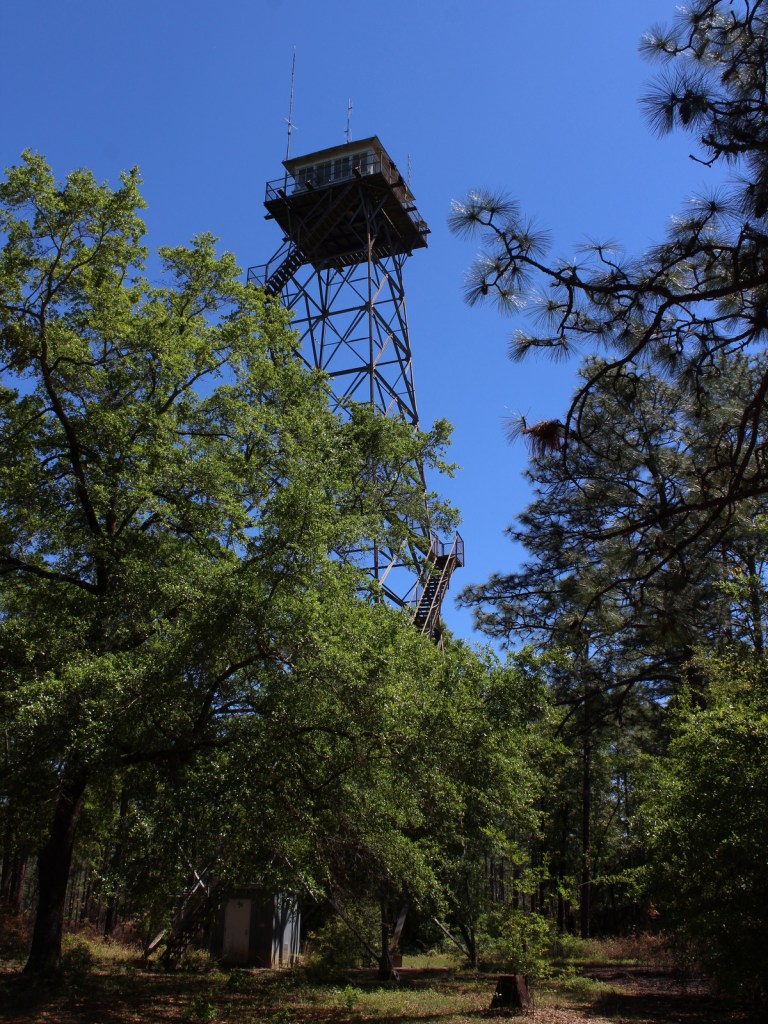
There is not much vertical topography in eastern Texas, so Neches Bluff Overlook stands out and commands an expansive view, including Caddo Mounds State Historic Site.

Peak Season
Spring and fall
Fees
None
Road Conditions
Access to Neches Bluff Overlook is by a well-maintained unpaved road that would be drivable by an RV.
Camping
There is free primitive camping allowed at Neches Bluff Overlook, which is located just south of Highway 21 near Caddo Mounds State Historic Site. No backpack camping is allowed on the Four C National Recreation Trail during deer hunting season (November through January), when dispersed camping is also restricted to 20 designated hunter camps.
Wilderness Areas
Big Slough Wilderness
Related Sites
Angelina National Forest (Texas)
Sabine National Forest (Texas)
Big Thicket National Preserve (Texas)
Nearest National Park
Hot Springs


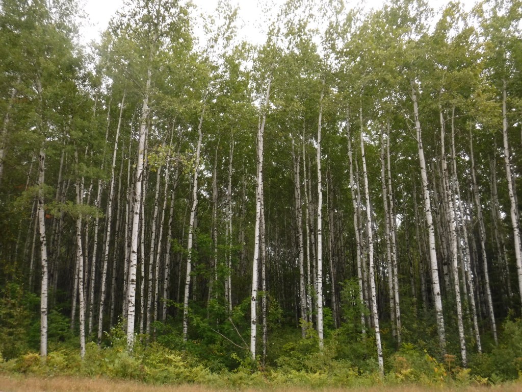
baldcypress, loblolly pine, shortleaf pine, longleaf pine, eastern redcedar
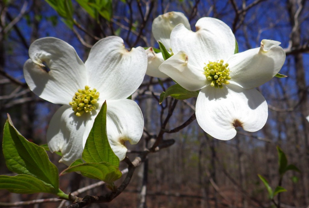
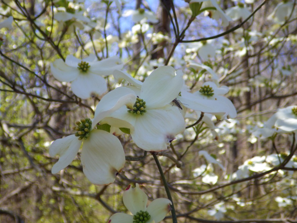
blackjack oak, post oak, southern red oak, white oak, swamp chestnut oak, willow oak, sweetgum, red maple, swamp red maple, green ash, swamp cottonwood, black willow, water hickory, pignut hickory, hophornbeam, sassafras, slippery elm, water elm, winged elm, American holly, yaupon holly, red buckeye, redbud, rough-leaf dogwood, flowering dogwood
Explore More – When were the mounds created at nearby Caddo Mounds State Historic Site?

Learn more about this and the 154 other National Forests in our new guidebook Out in the Woods
We are a participant in the Amazon Services LLC Associates Program, an affiliate advertising program designed to provide a means for us to earn fees by linking to Amazon.com and affiliated sites.