Tag Archives: birding

Grand Canyon National Park

Grand Canyon National Park

Arizona

Managed by National Park Service

Established 1908 National Monument, 1919 National Park

1,217,262 acres

Website: nps.gov/grca

Overview

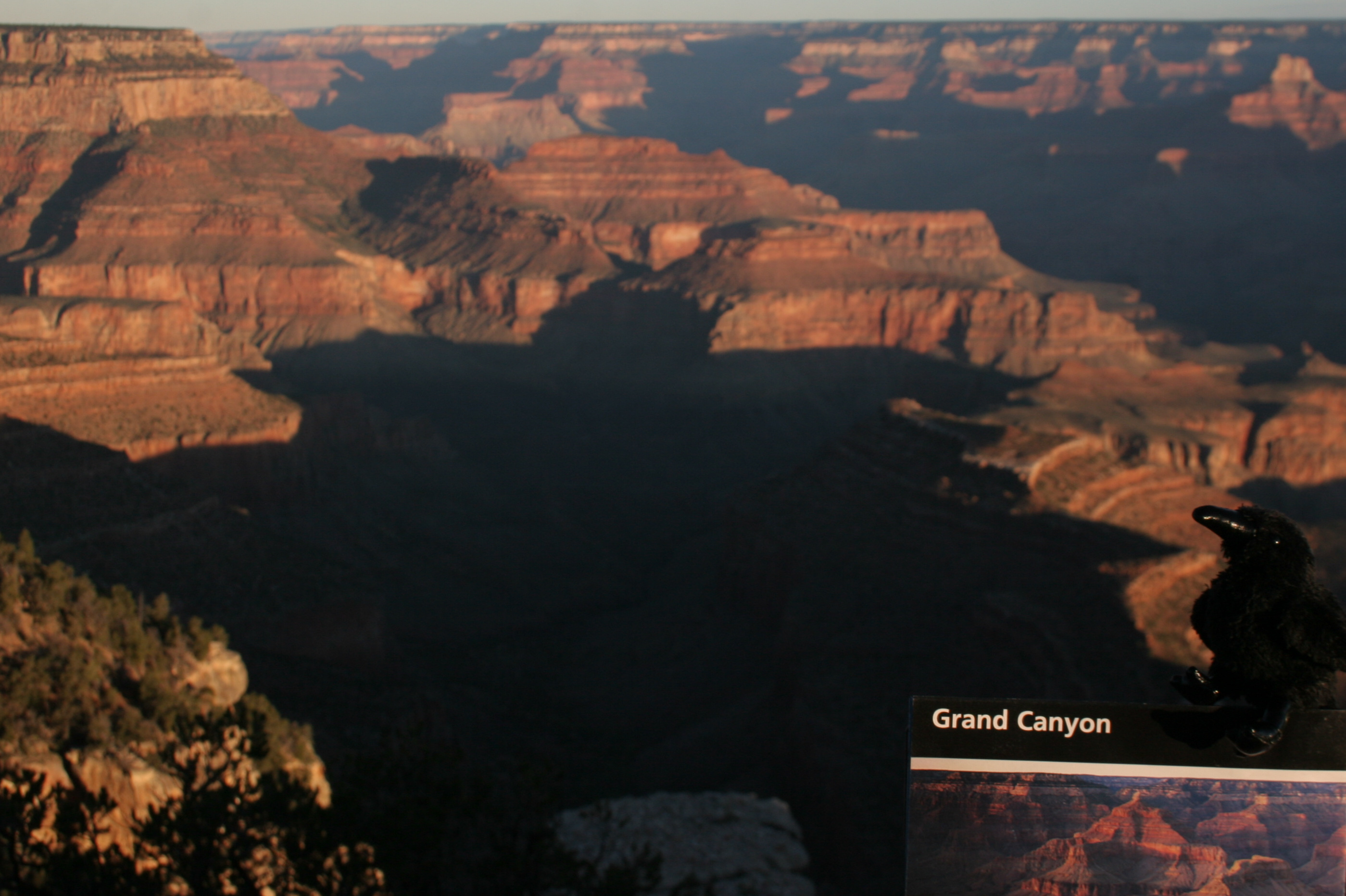
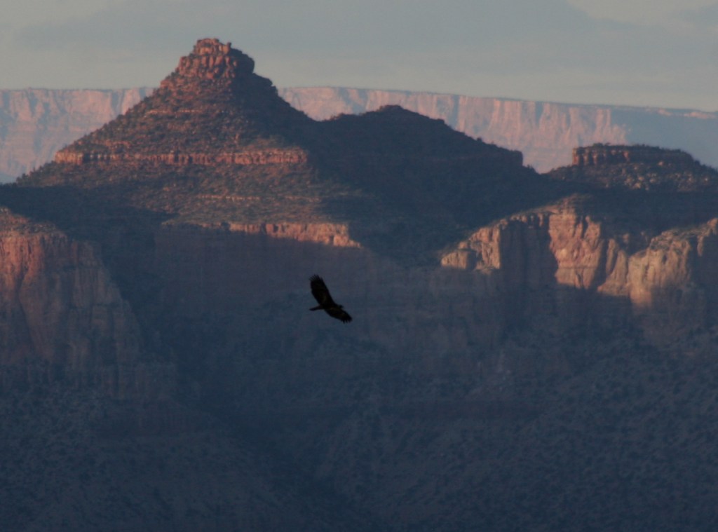
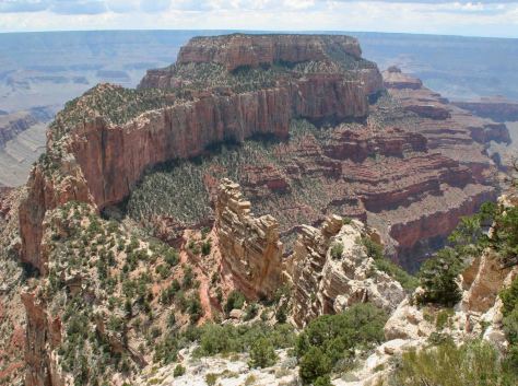
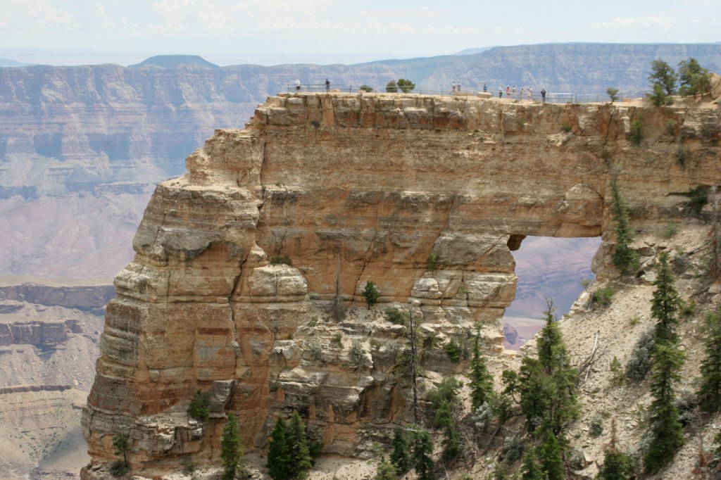
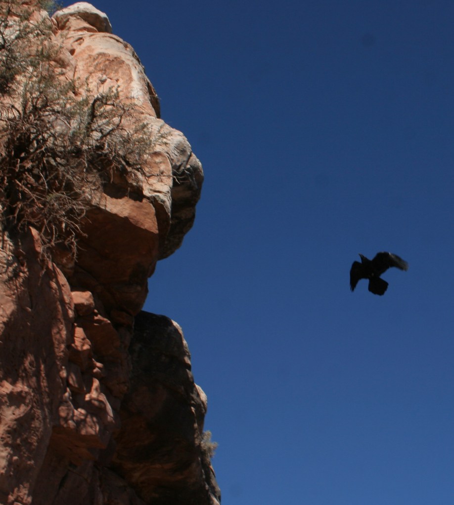
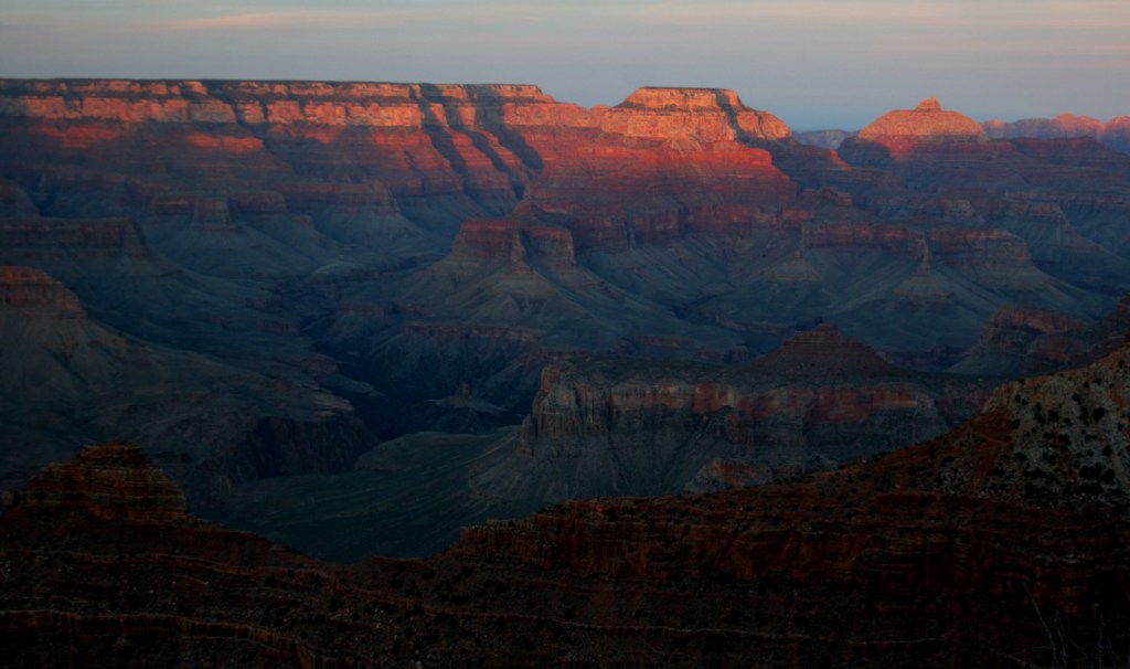
Grand Canyon National Park is generally considered one of the seven natural wonders of the world.   Billions of years of geologic history have been laid bare by the cutting power of the Colorado River.  It is cliché but true, you simply have to see this icon with your own eyes.  It can be overwhelming.  So can the crowds on the South Rim, but those tend to thin out if you hike a mile or two down a trail.  If you have the time during the summer months, be sure to drive five hours over the forested Kaibab Plateau to reach the North Rim (which is only 10 miles away as the raven flies). 

Know someone who loves National Parks? Gift them our travel guide A Park to Yourself: Finding Solitude in America’s 63 National Parks

Highlights

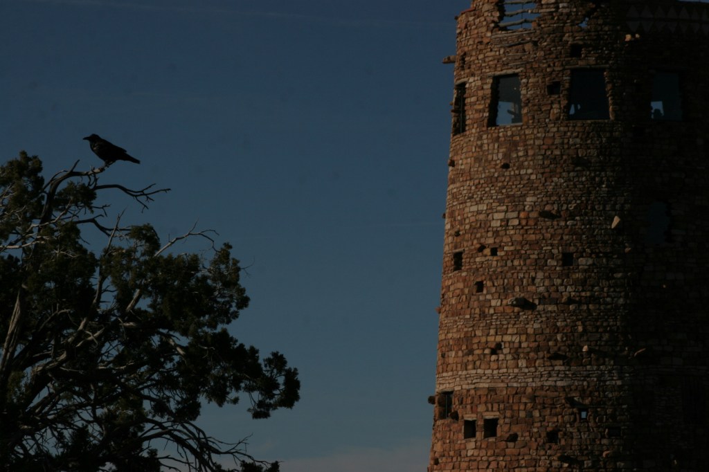
Desert View Watchtower, Hopi House, El Tovar Hotel, Phantom Ranch, Toroweap Overlook, whitewater rafting the Colorado River

Must-Do Activity

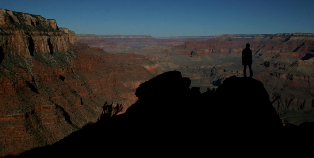
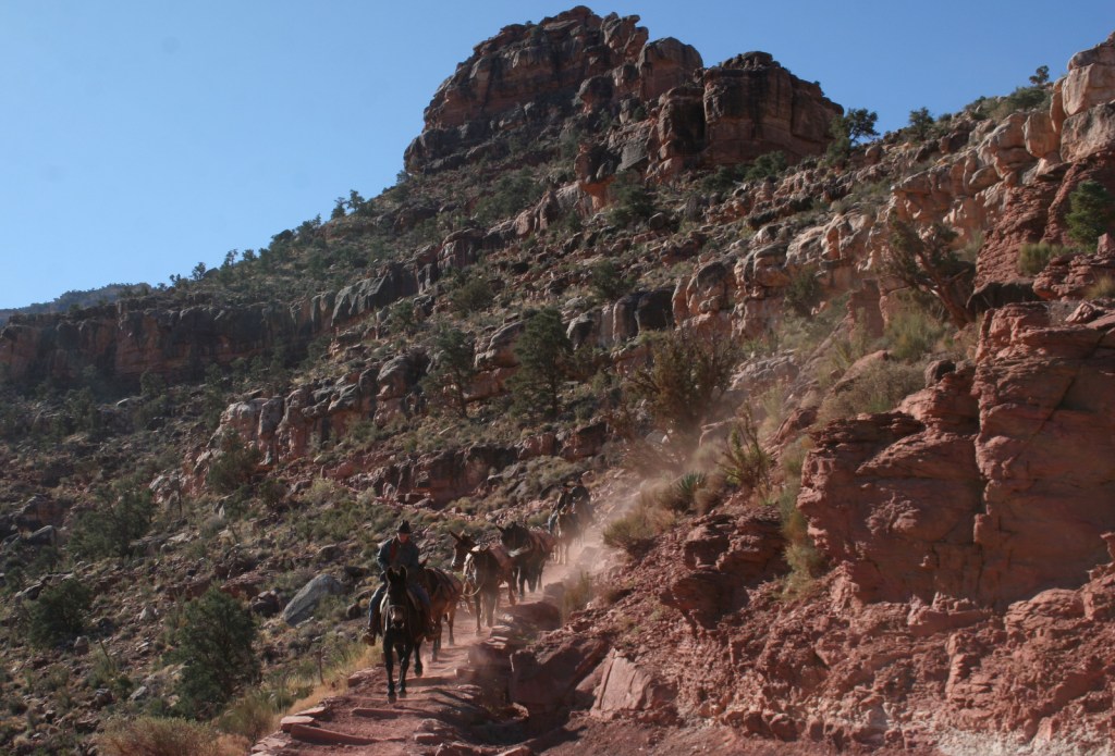
Growing up in Arizona, Scott used to visit this park frequently, but he feels he never got to know it until he hiked to the bottom in 2016.  Even if you only go a couple thousand feet down in elevation on the Grandview Trail or busy Bright Angel Trail, it will give you a new perspective on the canyon.

Best Trail

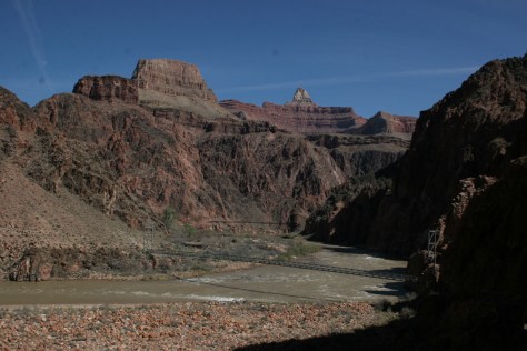
We day hiked the 18 miles from South Kaibab Trailhead (7200 feet elevation) down to Phantom Ranch (2500 feet) where we filled up with water on the way back up to Bright Angel Trailhead (6800 feet, with multiple water stations on the trail).  Backcountry permits can turn this into a multiple day trek, but then you have to carry all your gear out.

Photographic Opportunity

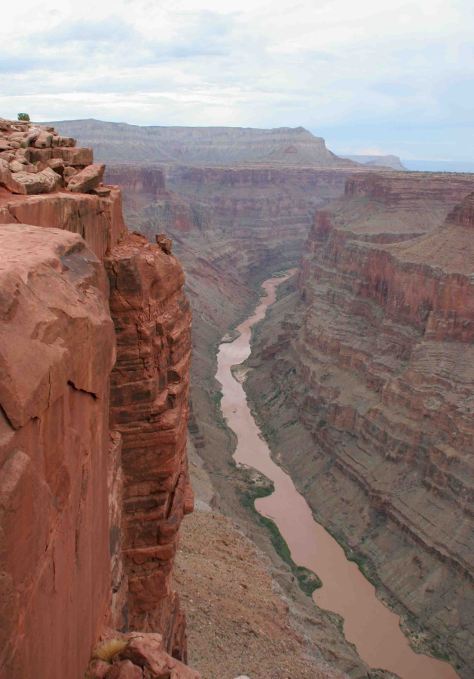
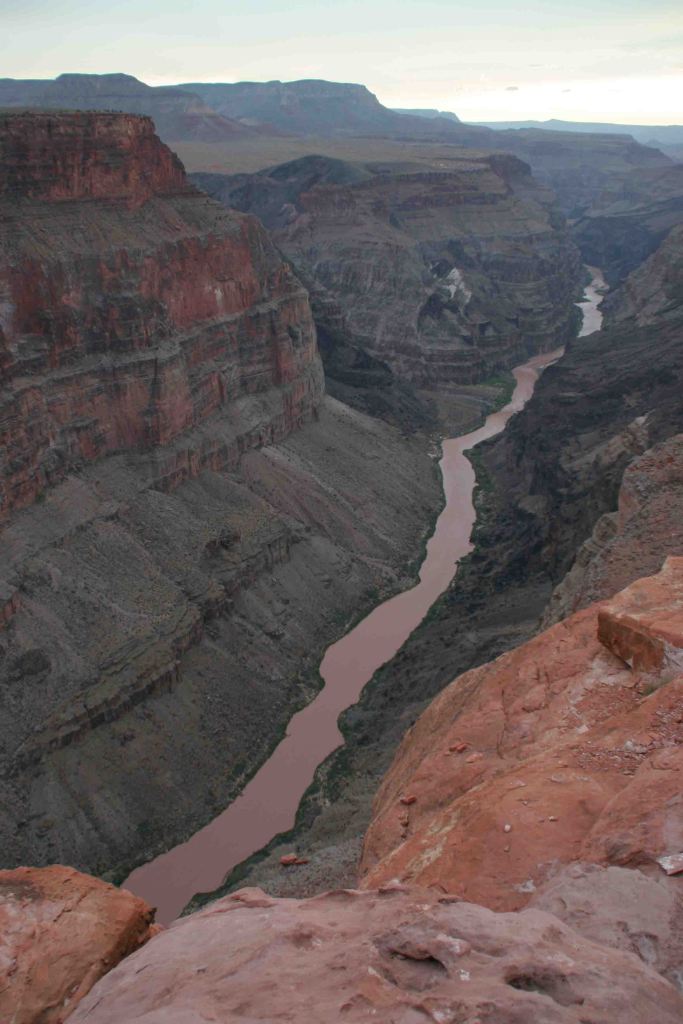
It is an arduous 90-mile one-way drive down a mostly dirt road to access Toroweap Overlook (free online permit required before arrival), but there is a reason photos from this fantastic overlook show up everywhere since the canyon walls are nearly vertical here.
Peak Season

Summer when it is very hot inside the canyon, though it can also be busy around the spring, fall, and December holidays.

Hours

https://www.nps.gov/grca/planyourvisit/hours.htm

Fees

$35 per vehicle or America The Beautiful pass

Road Conditions

Most roads are paved, and except for the very end of the 90-mile long graded dirt road to Toroweap Overlook is accessible to all passenger vehicles (free permit required).

Camping

The park has campgrounds on both rims, but you can also find dispersed camping in the neighboring Kaibab National Forest.

Related Sites

Baaj Nwaavjo I’tah Kukveni–Ancestral Footprints of the Grand Canyon National Monument (Arizona)

Coconino National Forest (Arizona)

Wupatki National Monument (Arizona)
This design we created to celebrate Grand Canyon National Park is available on a variety of products at Cafe Press and Amazon.

Explore More – Was Marguerite Henry’s book character Brighty based on a real burro?

Know someone who loves National Parks? Gift them our travel guide A Park to Yourself: Finding Solitude in America’s 63 National Parks

Dry Tortugas National Park

Overview

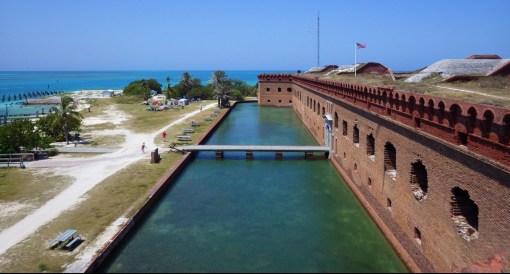
Only accessible by boat or floatplane, Dry Tortugas National Park is a remote paradise 70 miles west of Key West and home to a diverse array of birds and sea life.  Fort Jefferson was built on Garden Key starting in 1846 and was never completed before it was abandoned in 1874.  Today birders come from all over to see the rookery of 100,000 sooty terns on Bush Key, and also get the joy of watching the acrobatic dives of brown pelicans, double-crested cormorants, and magnificent frigatebirds with their seven-foot wingspan.

Echo was bringing the CHAOS to Dry Tortugas National Park.

Highlights

Fort Jefferson, snorkeling, birding, overnight camping

Must-Do Activity

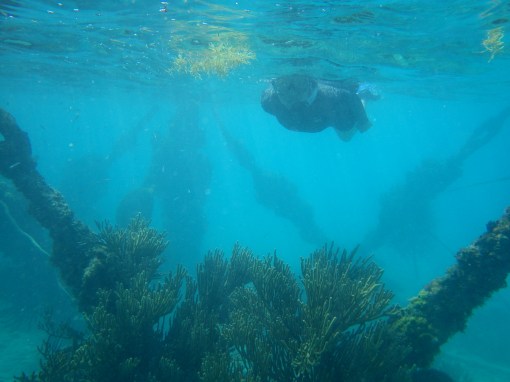
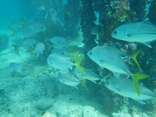
Turquoise blue water is home to amazing coral reefs right offshore from Garden Key, with some coral and sea fans growing on Fort Jefferson’s brick moat wall and old dock pylons.  Snorkeling among the historic debris feels like exploring an ancient shipwreck.  The daily ferry ship provides free snorkeling gear for day-trippers.

Best Trail

Walk the sea wall that circles Fort Jefferson for great views and a chance to see the endangered American crocodile that sometimes resides in the moat.

Instagram-worthy Photo

Walking the archways of Fort Jefferson in the rays of the rising sun or watching a sunset from atop its ramparts is a great reason to spend the night here.

Florida 1751.JPG

Peak Season

Weather permitting, the Yankee Freedom ferry boat runs daily all year, but you may want to be cautious during hurricane season.

Hours

https://www.nps.gov/drto/planyourvisit/hours.htm

Fees

A park entrance fee is collected by the Yankee Freedom ferry service when you purchase your tickets, but is refundable at check-in if you have an America The Beautiful Pass.  A nominal camping fee is charged to stay on Garden Key.

Road Conditions

A parking deck (fee) is located right near the docks and check-in for the Yankee Freedom ferry boat.

Camping

Primitive camping is allowed on Garden Key for a small fee.  Campers must bring all of their own water and the only way to cook is with charcoal since fires and stoves are prohibited.

florida-419.jpg

Florida 1005

Florida 1040

Scott walking on the moat

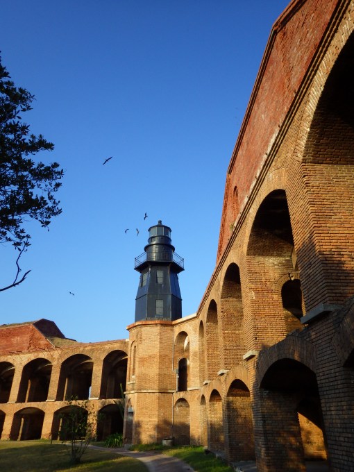
The lighthouse with Majestic Frigatebirds

Florida 1699

A view of the ferry boat from atop Fort Jefferson.
Yankee Freedom ferry boat docked outside Fort Jefferson.
Florida 541
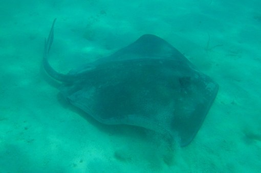
When snorkeling only ten feet from shore, this stingray swam right past us.
arch DRTO LR
Our original logo is for sale on a variety of products on Amazon and Cafe Press

Explore More – Why were the islands of the Tortugas labeled “Dry” on early maps?

1Wons

WONDON WAS HERE

We are a participant in the Amazon Services LLC Associates Program, an affiliate advertising program designed to provide a means for us to earn fees by linking to Amazon.com and affiliated sites.

Buffalo National River

Overview

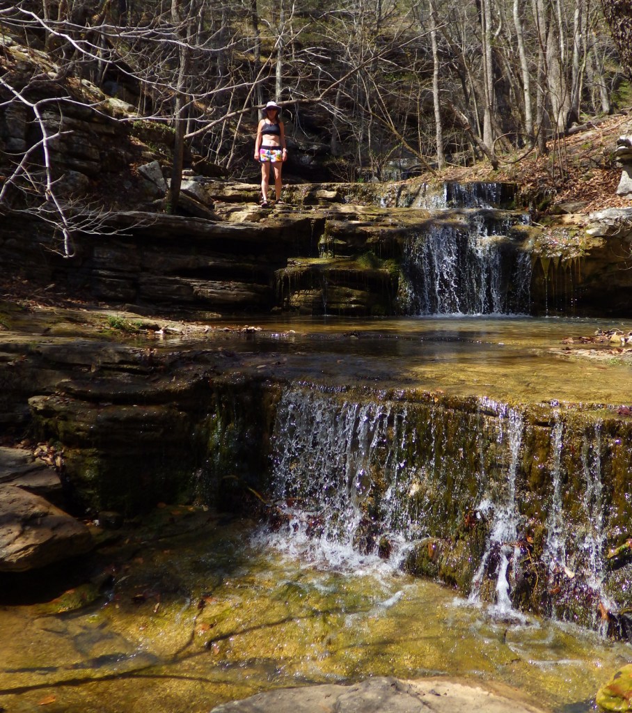
Designated as the nation’s first National River by Congress in 1972, the free-flowing Buffalo River winds 135 miles across northern Arkansas.  It is noted for its sandstone bluffs and tall waterfalls, as well as its three designated wilderness areas.  Multiple concessionaires rent canoes and offer shuttle service for those who wish to float the river during the high spring flows.  There are many hiking trails to be found in this National Park Service site and in the adjoining Ozark National Forest.

Buffalo

Highlights

Boxley Valley Historic District, Hemmed-in Hollow, elk herd, Ponca Wilderness, canoeing

Must-Do Activity

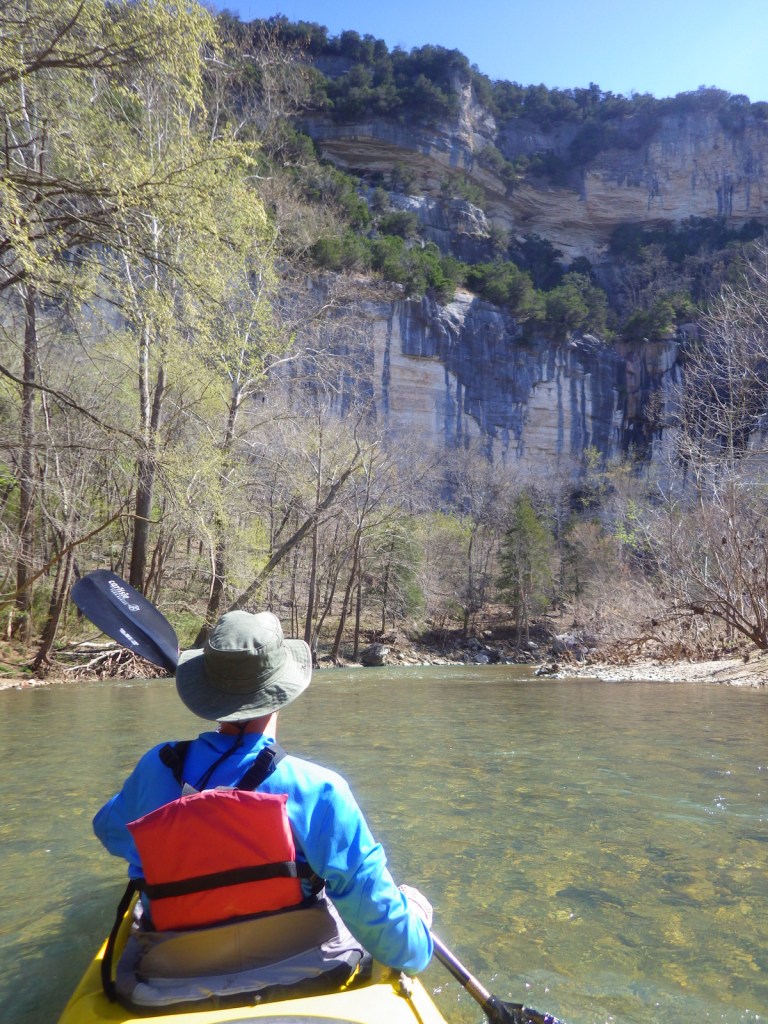
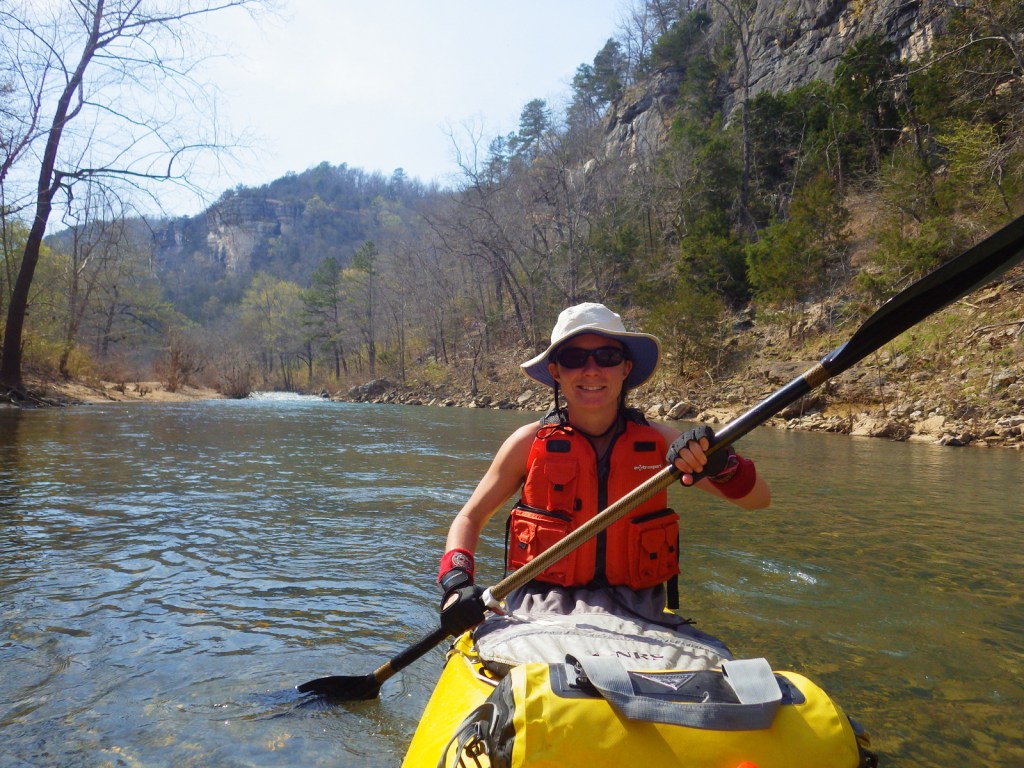
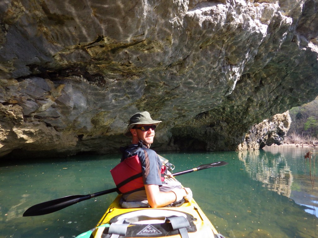
Steel Creek to Pruitt Landing is a 22-mile float through Class I rapids on the Buffalo River through the Ponca Wilderness past rock bluffs up to 500 feet tall.  Wildflowers and birds abound in the spring, the only time the upper river is deep enough to float.  Numerous outfitters provide rental gear, guides, and car shuttles.

Best Trail

A short 1.5-mile roundtrip hike from a river pulloff, Hemmed-In-Hollow is a 210-foot tall waterfall, also accessible on a much more strenuous trek starting on top of the bluff in Compton, Arkansas.

Instagram-worthy Photo

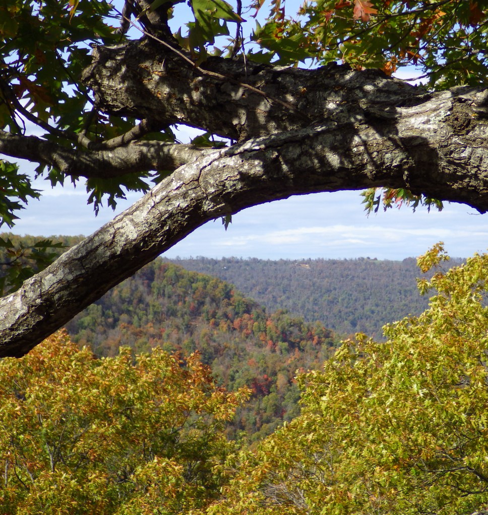
While not technically within the National River boundaries, Hawksbill Crag is an image that shows up on many tourism advertisements for Arkansas.  Go in early November for fall colors.

Tiff on the edge of the famous point in the Buffalo National Forest

Peak Season

The water flows best in the spring and is often not deep enough for paddlers in the river’s upper reaches other times of year.

Hours

https://www.nps.gov/buff/planyourvisit/hours.htm

Fees

None

Road Conditions

Many of the dirt roads are steep due to the park’s rugged backcountry nature and may require high-clearance vehicles when muddy.

Camping

Twelve campgrounds accessible by car, with Tyler Bend and Buffalo Point Campgrounds offering showers.  Backcountry sites are mostly reached by canoe or kayak.

2016ARbuffalo4

Explore More – Why is a river in the forests of northern Arkansas named for buffalo (or bison)?

1Wons

WONDON WAS HERE

Organ Pipe Cactus National Monument

Organ Pipe Cactus National Monument

Arizona

Managed by National Park Service

Established 1937

330,688 acres

Website: nps.gov/orpi

Overview

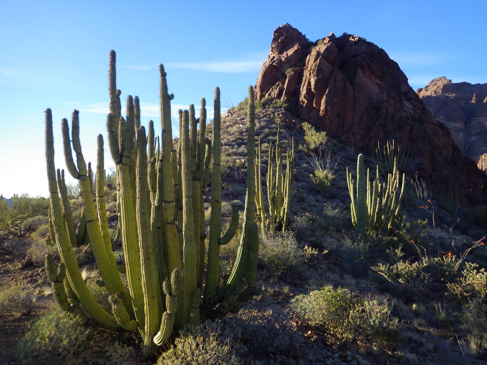
“The green desert” is home to dense stands of saguaros, ocotillos, and its namesake organ pipe cacti.  The monument’s 330,689 acres sit on the Mexican border of Arizona and were recognized as a UNESCO International Biosphere Reserve in 1976.  The park has a reputation for being dangerous, which it can be for NPS Law Enforcement due to its border location, but tourists should encounter no problems while enjoying the beautiful landscape.

Know someone who loves exploring new National Monuments? Gift them our book Monumental America: Your Guide to All 138 National Monuments that is available for sale on Amazon.com.

Organ

Highlights

Ajo Mountain Loop, Alamo Canyon, birding, earn an “I Hike For Health” pin

Must-Do Activity

The namesake cactus is more common further south and shares this landscape with 27 other species of cacti, including the famous saguaro.  To see the cacti at their best, I recommend driving the 21-mile dirt road Ajo Mountain Loop in the evening before turning in for the night at the campground.

Best Trail

The National Park Service (NPS) runs a shuttle some mornings to Senita Basin from where you can hike back to the visitor center (with an optional side trip to the abandoned Victoria Mine).

Photographic Opportunity

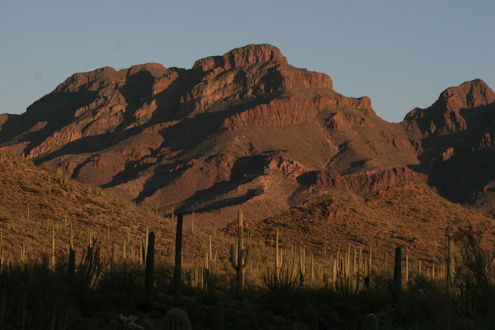
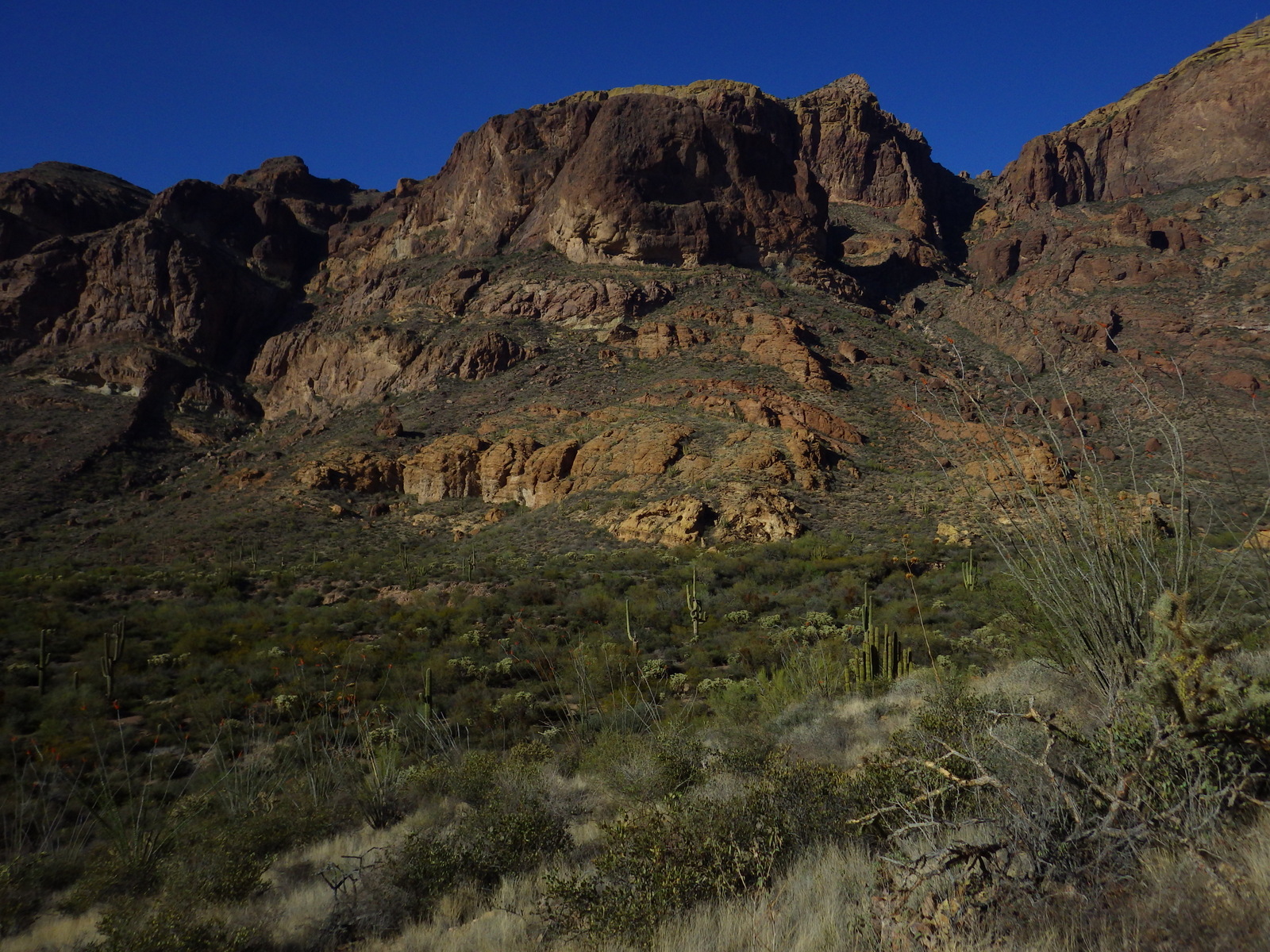
The park’s Ajo Mountains are mostly volcanic rhyolite and their jagged outlines photograph well in the twilight hours with the famous saguaro cactus silhouetted in the foreground.

Saguaros and Diaz Peak

Peak Season

Anytime but summer when temperatures regularly soar above 100°F.

Hours

https://www.nps.gov/orpi/planyourvisit/hours.htm

Fees

$25 per vehicle or America the Beautiful pass

Road Conditions

The highway is paved to Kris Eggle Visitor Center and Twin Peaks Campground, but most of the dirt roads are passable for all vehicles.

Camping

The park has the very nice Twin Peaks Campground (with solar showers) where you can pick up free hiker shuttles that allow for one-way trips back to your tent.  There are also a couple dry campsites (permit required) on Alamo Canyon Road.  A permit is required for backcountry camping.

Related Sites

Coronado National Memorial (Arizona)

Chiricahua National Monument (Arizona)
Tumacácori National Historical Park (Arizona)

Nearest National Park

Saguaro

Lots of organ pipes
Organ pipe cacti
A cristate formation on an organ pipe
An organ pipe cactus with a unique cristate formation.
Sunset on the Green Desert
Estes Canyon
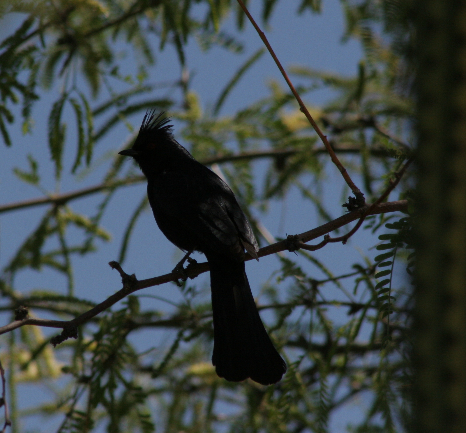
Phainopepla
We saw unique bird species like this phainopepla, in addition to Scott’s orioles, Gila woodpeckers, black-throated sparrows, and, of course, ravens.
The border wall under construction in January 2020
It is a steep 2-hour long scramble up to this arch
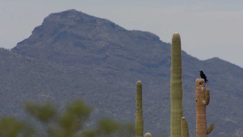
Raven about the park in the Sonoran Desert

Explore More – Why is the Visitor Center named for Park Ranger Kris Eggle?

Learn more about the other 137 National Monuments in our book Monumental America: Your Guide to All 138 National Monuments