Tag Archives: backpacking

Capitol Reef National Park

Overview

Amongst the phenomenal National Parks of southern Utah, sometimes Capitol Reef gets overlooked.  Stretching along the geologic warp of Waterpocket Fold, Capitol Reef National Park is colorful in the extreme.  Driving the miles of dirt roads that crisscross the park may be the best way to explore its hidden treasures and no visit should be completed without some back road driving, even if it is the easy drive down Caineville Wash Road to the Temple of the Sun and the Temple of the Moon.

Capitol2.JPG

Highlights

Fruita Historic District, Hickman Bridge, Grand Wash Trail, Strike Valley Overlook

Must-Do Activity

After exploring the Fruita Historic District and Grand Wash Trail, drive across Highway 24 to the petroglyphs and the trailhead for the steep one-mile hike to Hickman Bridge, a massive stone formation cut into a gorgeous canyon.  Be aware, this is the busiest part of the park because it is one of the few places with paved roads.

Best Trail

Leaving from Strike Valley Overlook, the all-day trek through Upper Muley Twist Canyon offers many unnamed arches, slickrock slopes, narrow passages, sheer cliffs, and stunning views as it winds 10 rugged miles to form a lollipop loop.

Instagram-worthy Photo

Strike Valley Overlook offers an amazing perspective on Waterpocket Fold, but requires a high clearance vehicle to drive the last three miles after a long drive down Notom-Bullfrog Road or Burr Trail Road.

N 2015CR9

Peak Season

Spring and Fall

Hours

https://www.nps.gov/care/planyourvisit/hours.htm

Fees

The only fee is on the paved Scenic Drive south of the Fruita Historic District, but the NPS accepts the America the Beautiful pass for that.

Road Conditions

Most of the dirt roads (like Notom-Bullfrog and Caineville Wash) are passable to any vehicle, but high clearance is needed on the last bit to Strike Valley Overlook and to cross the Fremont River on the Cathedral Loop.  However, there is not much infrastructure in this rugged and dry National Park, so you need to be well-prepared in case of emergency.

Camping

The Fruita Historic District offers camping along the Fremont River, close encounters with mule deer, and free apple picking in the fall.  Dry sites are free at Cedar Mesa and Cathedral Valley Campgrounds.

N 590-April Utah 497
The trail climbs steeply one-mile to Hickman Bridge.
N 2013CapitolReef
Fruita Historic District
November Utah 709
Mule deer near the campground in Fruita Historic District.
Heading into Grand Wash in Canyonlands National Park
Grand Wash Trail
Sun hitting the walls
The Walls of Jericho catch the morning light in Cathedral Valley.
By the arch
Brimhall Natural Bridge.
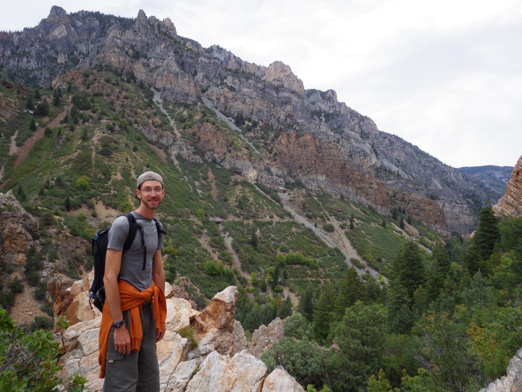
Tiff checking out some cool sandstone
Upper Muley Twist Canyon offers many unnamed arches, slickrock slopes, narrow passages, sheer cliffs, and stunning views.
LR CARE.jpg
This design we created to celebrate Capitol Reef National Park is available on a variety of products at Cafe Press and Amazon.

Explore More – Why is the park named Capitol Reef?

1WonsTiny2

WONDON WAS HERE …TWICE …THRICE

We are a participant in the Amazon Services LLC Associates Program, an affiliate advertising program designed to provide a means for us to earn fees by linking to Amazon.com and affiliated sites.

Big Bend National Park

Overview

The park is named for a curve in the Rio Grande which forms the international border with Mexico.  This corner of Texas is not easy to get to, so when you do decide to visit plan on staying for at least a few days.  The weather can be very pleasant in the winter months.

Learn more about how to visit this National Park in the expanded second edition of our guidebook A Park to Yourself: Finding Solitude in America’s 63 National Parks

Bend

Highlights

Chisos Basin, Fossil Discovery Exhibit, Hot Springs, Balanced Rock, Santa Elena Canyon Overlook, The Chimneys, Dog Canyon Trail

Must-Do Activity

Located down a short dirt road from Rio Grande Village Campground, a quick walk takes you to a riverside hot springs, a great spot to relax after a day of hiking in the dry Texas desert.  While soaking there, you are literally a stone’s throw from another country.

Best Trail

From Chisos Basin it is a short two mile canyon hike to The Window for a gunsight view to the west.  This trail is especially popular at sunset.

Instagram-worthy Photo

The most popular back road is Grapevine Hills Road which accesses the short Balanced Rock Trail and passes a couple of the most accessible of the 70 primitive backcountry car campsites (which require a permit from a visitor center).

Z March Texas 188

Peak Season

Spring, but we have also had good weather during visits in December and January

Hours

https://www.nps.gov/bibe/planyourvisit/hours.htm

Fees

$30 per vehicle or America the Beautiful pass

Road Conditions

We found that many of the dirt roads are passable with a mini-van, but some are four-wheel-drive only, so check with a ranger first.

Camping

There are many choices of campgrounds and backcountry campsites (permit required) throughout the park, but we recommend the Chisos Basin for its roadrunners and nightly ranger programs.

LR BIBE
This design we created to celebrate Big Bend National Park is available on a variety of products at Cafe Press and Amazon.

Explore More – What rare migrant bird do birders annually “flock” to see in this park?

Know someone who loves National Parks? Gift them our travel guidebook A Park to Yourself: Finding Solitude in America’s 63 National Parks

Cape Lookout National Seashore

Overview

There are no roads in North Carolina’s Cape Lookout National Seashore, but vehicles can drive the beach nearly the entire 56-mile length of these Outer Banks barrier islands.  A passenger ferry leaves from Beaufort, North Carolina to access the Shackleford Banks where feral horses reside.  Cape Lookout is on the South Core Banks, a great spot for camping, surf fishing, kite flying, and beachcombing.  This island is accessible aboard a passenger ferry from Harkers Island and a vehicle ferry from Davis.

Lookout.JPG

Highlights

Historic lighthouse, undeveloped beaches, seashells, beach camping

Must-Do Activity

If you enjoy beach camping, then you must spend at least one night on the islands.  Go beachcombing in the morning after watching the sunrise light up Cape Lookout Lighthouse.

Best Trail

There are boardwalks around the ferry landing and lighthouse, otherwise just walk the beaches.

Instagram-worthy Photo

The majestic 163-foot tall Cape Lookout Lighthouse (wearing argyle) is the icon of this national seashore and looks best at sunset and sunrise.

The lighthouse sticking out of the low fog
Find this photo and many others for sale on Imagekind.

Peak Season

Summer (if there is not a hurricane forecast)

Hours

https://www.nps.gov/calo/planyourvisit/basicinfo.htm

Fees

Free to visit and camp, $16 roundtrip per adult for passenger ferry, sometimes a charge to climb to the top of the lighthouse

Road Conditions

Paved to the ferry docks in Beaufort and Harkers Island, sandy on outer islands (4×4 required)

Camping

Camping is free on the beaches, but unless you have your own boat you will need to pay for a ferry ride out there.  The oceanfront section of beach near Cape Lookout Lighthouse is closed to vehicles, making it perfect for backpackers.

Our campsite

IMGP0809

Pelican at sunrise

Tiff with her collection of shells she found
Seashell hunting out here is great; and yes, the National Park Service allows you to take a reasonable amount home.

Short billed dowitchers

Lighthouse reflection

Explore More – When was the Cape Lookout Lighthouse built?

1WonsTiny2

WONDON WAS HERE

Bandelier National Monument

Overview

One of 13 national monuments in New Mexico, this archaeological site is located in a beautiful forested canyon at 6,000 feet elevation outside Los Alamos.  Ancestral Puebloans inhabited Frijoles Canyon from AD 1150 to 1550, building villages and carving rooms out of the soft volcanic tuff, much like in Cappadocia, Turkey.

Bandelier

Highlights

Ruins, cavates, Alcove House, Upper Falls, Painted Cave

Must-Do Activity

Climb 140 feet up ladders and steep steps to Alcove House cliff dwelling for superlative views of the canyon.

Best Trail

After exploring the ruins, be sure to hike 1.5 miles to Upper Falls downstream from the visitor center.

Instagram-worthy Photo

The National Park Service has installed some awesome, authentic-looking ladders to access the cavates.

04-IMG_0324.JPG

Peak Season

Summer when a shuttle is required from Los Alamos, New Mexico due to limited parking

Hours

https://www.nps.gov/band/planyourvisit/hours.htm

Fees

$25 per group or America the Beautiful pass

Road Conditions

Paved, but visitors are required to take a shuttle from Los Alamos between 9 a.m. and 3 p.m. in the summer (May 17 – October 17)

Camping

Juniper Campground has 94 sites, running water, and is open most of the year.  Its 70 miles of trails also make the park popular for backpacking, which requires a zoned camping permit.

08-IMG_0346

Scott at the entryway for a large dwelling
Scott inside a cavate

Tiff a few rooms down
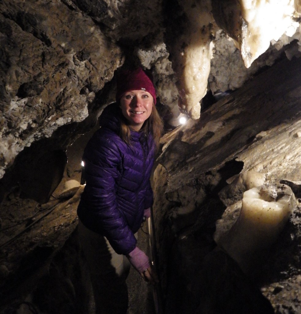
Tiff inside a cavate

Tiff climbing down

16-May New Mexico 247

05-IMG_0326
The tuff looks like Swiss cheese; maybe that’s what attracted Swiss anthropologist Adolph Bandelier.

Waterfall
Upper Falls is only a 1.5 mile hike downstream from the visitor center

Explore More – When did the giant volcano erupt that created the 16-mile wide Valles Caldera and deposited hundreds of feet of volcanic ash that formed tuff?

1WonsTiny2

WONDON WAS HERE