Overview
In downtown Scranton, Pennsylvania, 52 acres have been turned into a dreamscape for railroad enthusiasts by the National Park Service (NPS). Specifically, the site is dedicated to steam engines, which truly got started in 1830 with the South Carolina Railroad and lasted more than century before being fully replaced by diesel locomotives. A unique opportunity at this park is the chance to take one of several steam train excursions (additional fee) that leave from the site.

Highlights
Museum, film, turntable, tours, steam train excursions
Must-Do Activity
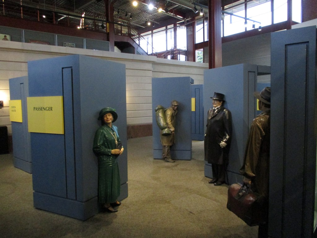
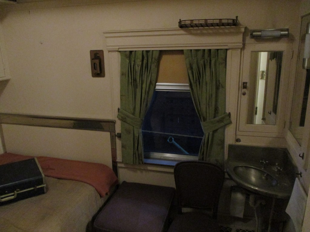
Steamtown National Historic Site is located on the grounds of the Delaware, Lackawanna & Western Railroad, which relied on the region’s cleaner-burning anthracite coal. The park includes a theater, multiple museums, a 90-foot-diameter operating turntable, restoration shops, locomotives, and a collection of railroad cars. A highlight is one of the few Union Pacific “Big Boys” built to haul freight trains through the mountains of Utah and Wyoming. Guided tours are included with your admission fee, although there is enough to read and watch in the extensive museums to keep you busy all day long.
Best Trail
There is no trail, but you will get your daily steps if you tour the entire facility.
Instagram-worthy Photo
The turntable is surrounded on one half by the glass-fronted NPS visitor center and history museum, which makes for some cool photographs.

Peak Season
Summer
Hours
https://www.nps.gov/stea/planyourvisit/hours.htm
Fees
None
Road Conditions
All roads are paved and ample parking is available.
Camping
See our blog post on Delaware Water Gap National Recreation Area for a list of State Parks and State Forests with campgrounds in the area.
Related Sites
Allegheny Portage Railroad National Historic Site (Pennsylvania)
Upper Delaware Scenic and Recreational River (New York-Pennsylvania)
Cuyahoga Valley National Park (Ohio)


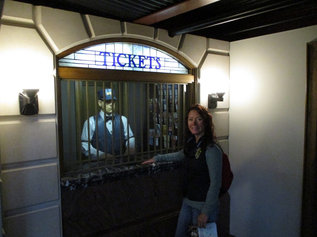

Wondon and Tiff playing in the museum 

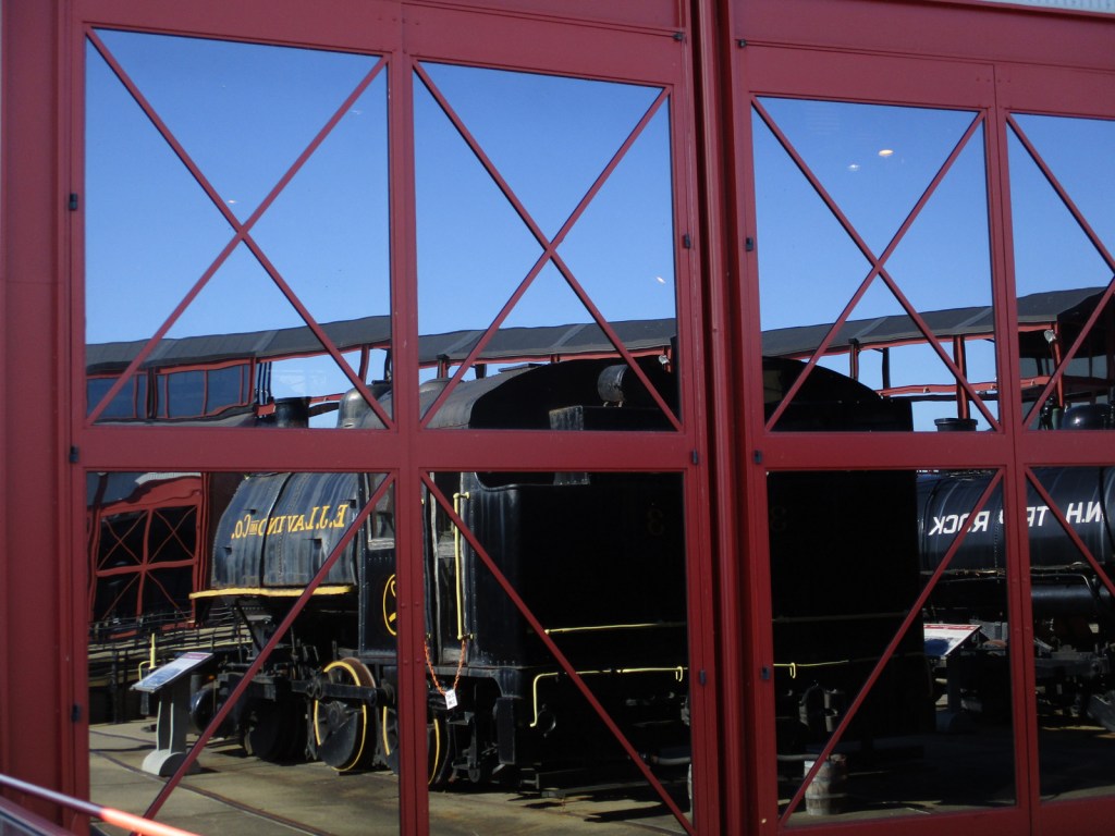

Union Pacific “Big Boy”
Explore More – What year was the park’s oldest locomotive built for the Chicago Union Transfer Railroad Company?