Springfield 1908 Race Riot National Monument
Illinois
Managed by National Park Service
Established 2024
1.57 acres
Website: nps.gov/spra
Overview
In 1908, African Americans made up only 5.5% of Springfield’s population of 47,000. However, racial tensions ran high across the nation, and, on August 14, a mob formed outside the jail where two African-American men were accused of separate incidents of sexual assault and murder. When the crowd found out the prisoners had been secretly moved 60 miles away, a full riot broke out. They destroyed buildings, looted, and lynched two prominent members of the African-American community—a barber named Scott Burton and the wealthy William Donnegan. By the time the National Guard arrived to restore order, seven people were dead and the mob had already burned the African-American neighborhood known as the “Badlands” to the ground. Eventually, the trials of the 80 riot suspects at the Old Court House led to only one conviction for petty larceny. While the rape suspect, George Richardson, was released when his accuser admitted fabricating the story, Joe James was convicted of murder and executed on October 23, 1908 despite being legally exempt from the death penalty as a minor. These events catalyzed the formation of the National Association for the Advancement of Colored People (NAACP) a few months later in New York City.
Learn more about the other 137 National Monuments in our book Monumental America: Your Guide to All 138 National Monuments. It is now available for sale on Amazon.com.

Highlights
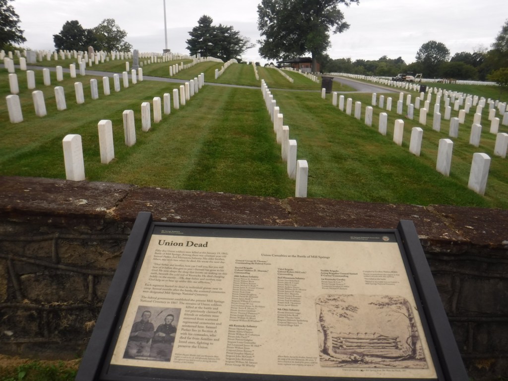
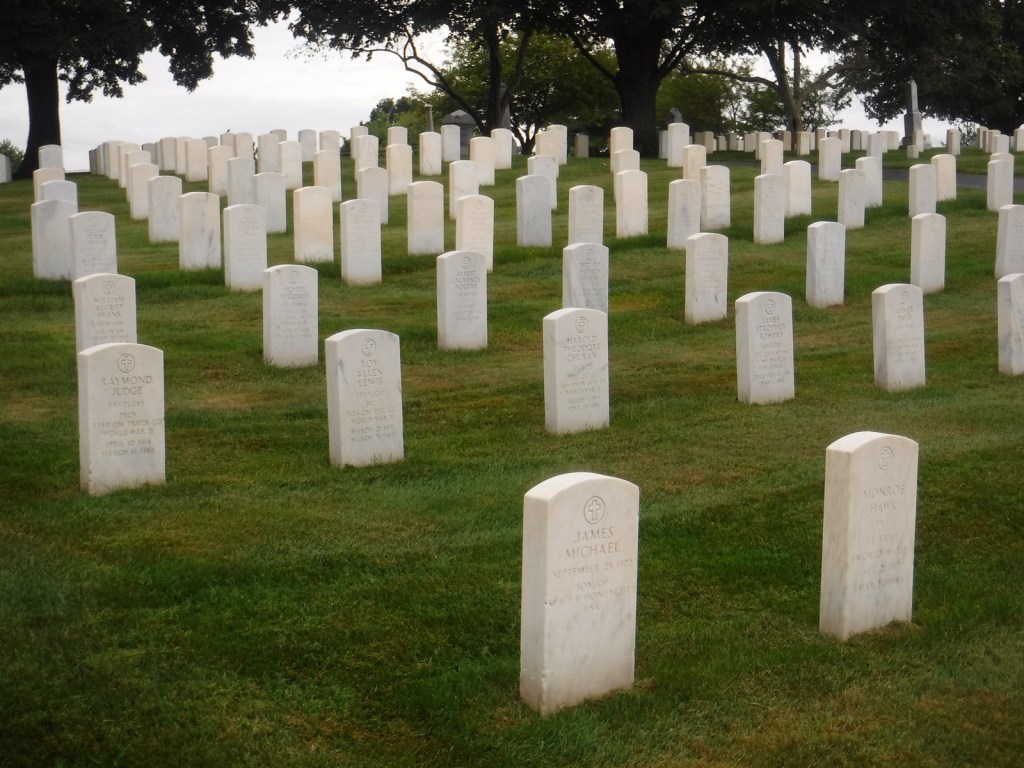
Walking tour, Acts of Intolerance sculpture, mural, Old Court House, Springfield and Central Illinois African American History Museum, Oak Ridge Cemetery, Mechanicsburg Cemetery
Must-Do Activity
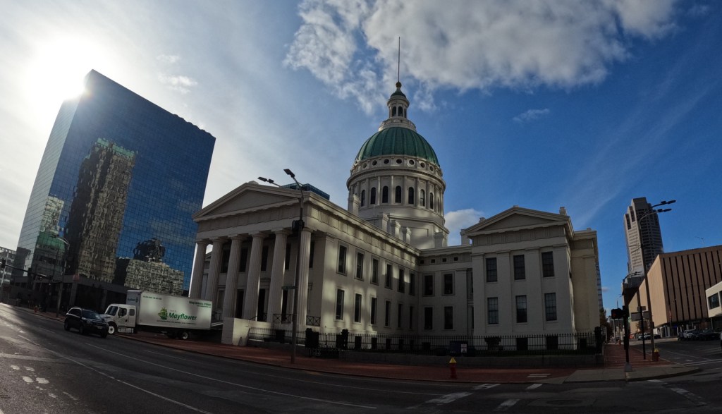
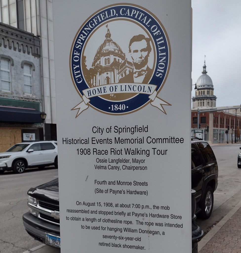
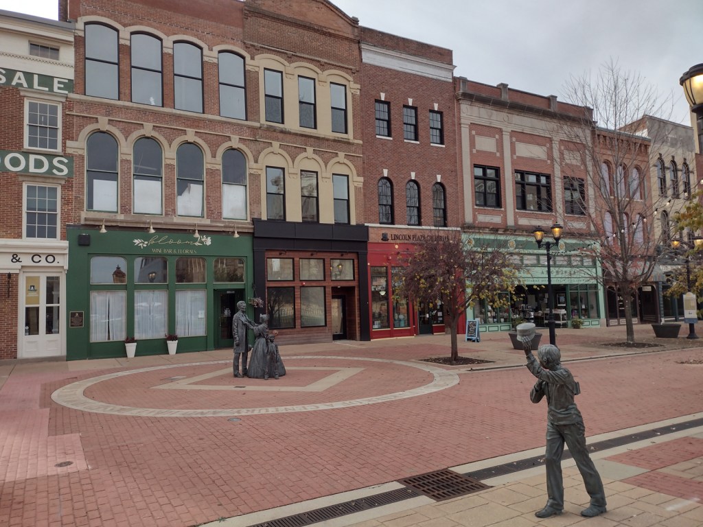
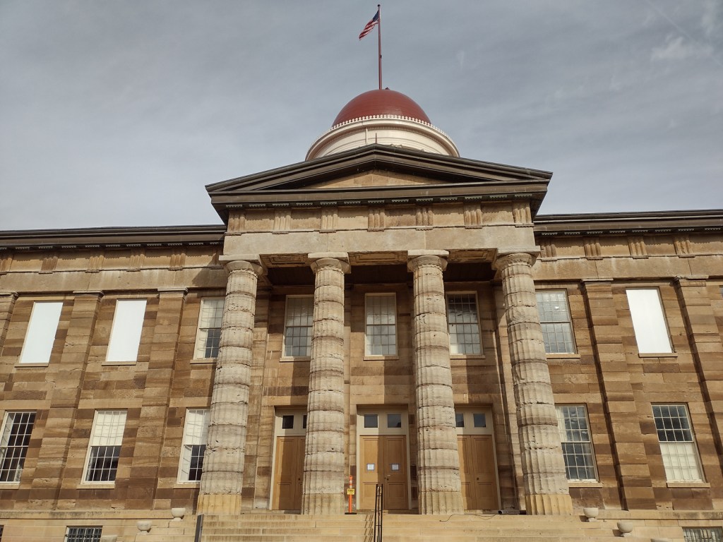
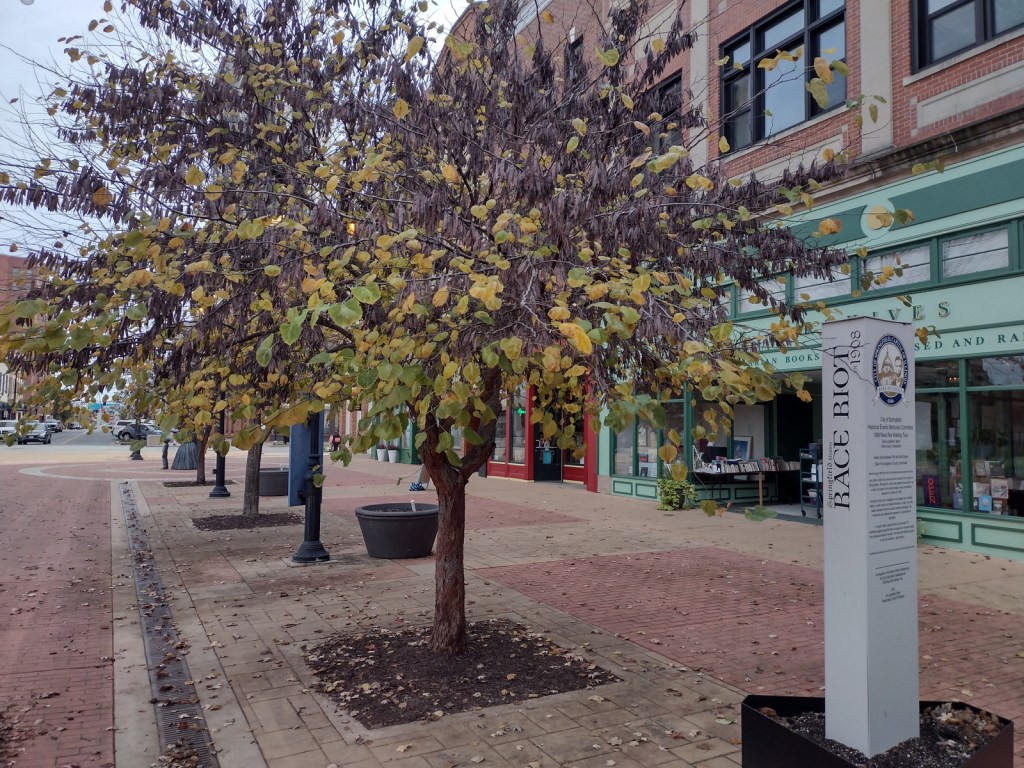
Before the National Monument was designated in 2024, the city of Springfield had already created a walking tour highlighting the events of the 1908 race riot marked by seven silver pillars. After starting at the former site of the jail, the tour moves to where Loper’s Restaurant once stood; its white owner having assisted in moving the prisoners, his restaurant and his car were destroyed. During the frenzy, a restaurant patron named Louis Johnson was shot and killed. There are five other stops detailing the events chronologically, but they do not include the mural inside HSHS St. John’s Hospital Women & Children’s Clinic, which is next to the officially designated National Monument boundaries where the foundations of five homes burned in the “Badlands” remain fenced off. Upon our visit less than three months after its creation, the National Park Service visitor center for Lincoln Home National Historic Site did not have any information on the new National Monument, but they already had a passport stamp.
Best Trail
When followed in chronological order, the walking tour bounces back and forth across the city, so you will get your steps in that day. In the summer, guided tours are offered from the Springfield Convention and Visitors Bureau. Alternatively, you can drive the route and read the descriptions in the publication available online and from the visitors bureau.
Photographic Opportunity
After the burning of the “Badlands” neighborhood, two chimneys were about the only structures left standing. The sculptor Preston Jackson utilized this imagery in his work Acts of Intolerance that depicts scenes of the race riot in bas relief. Dedicated in 2009, it stands across the street from the Abraham Lincoln Presidential Library in Union Square Park.

Peak Season
Summer
Hours
https://www.nps.gov/spra/planyourvisit/hours.htm
Fees
None
Road Conditions
There is no free parking in downtown Springfield, so you can use a parking meter or the NPS pay lot at Lincoln Home National Historic Site.
Camping
Lincoln’s New Salem State Historic Site is 20 miles northwest of Springfield and its campground has running water. Further north, Starved Rock State Park is a beautiful spot for camping, and it also offers a historic lodge.
Related Sites
New Philadelphia National Historic Site (Illinois)
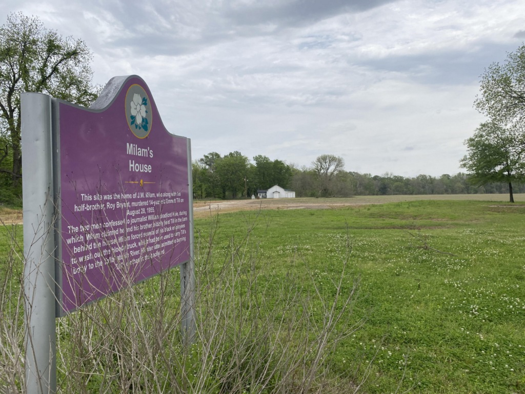
Emmett Till and Mamie Till-Mobley National Monument (Mississippi-Illinois)
Medgar and Myrlie Evers Home National Monument (Mississippi)


Explore More – Damage from the race riot to black businesses was estimated at $100,000 in 1908, equivalent to how many millions today?

Learn more about the other 137 National Monuments in our book Monumental America: Your Guide to All 138 National Monuments