Overview
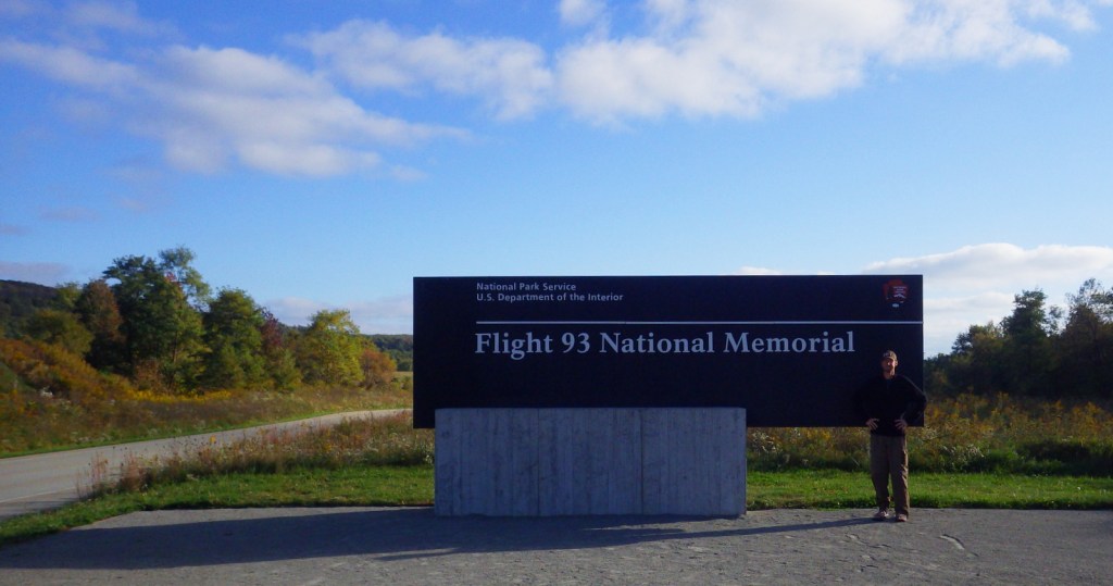
One of the most emotionally difficult places we have ever visited is the Flight 93 National Memorial in southwest Pennsylvania. Most readers remember the details of September 11, 2001 vividly and the feelings of that day still resonate. Thanks to the courage of the 40 passengers and crew aboard United Flight 93, the airplane crashed only 18 minutes short of its target in Washington, D.C.

Highlights
Museum, Memorial Plaza, Wall of Names
Must-Do Activity
Even if you never saw the Hollywood film, the story of Flight 93 is well known. The National Park Service (NPS) has put together a high-quality museum near the airplane crash site and the memorial itself is simple yet strong. One wall is inscribed with this excellent quote: “A common field one day. A field of honor forever.” The focus is on the bravery of the 33 passengers and seven crew members that stood up to the four hijackers that tragic morning. Since it is essentially a mass grave, the actual crash site is off limits except to family members of the victims, but it is marked by a large boulder visible from the Memorial Plaza. We left after our visit feeling both saddened and empowered.
Best Trail
An allée (formal walkway) leads from the NPS visitor center past the 40 Memorial Groves of trees (planted in 2012) to the Memorial Plaza and the Wall of Names. You can also drive to the parking lot at the visitor shelter next to the Memorial Plaza.
Instagram-worthy Photo
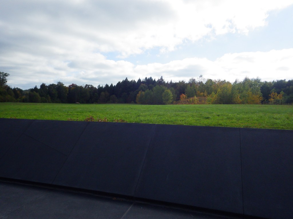
The names of the Flight 93 passengers and crew are on the 40 marble panels of the Wall of Names (the NPS visitor center is visible in the background).

Peak Season
Summer and the September anniversary
Hours
https://www.nps.gov/flni/planyourvisit/hours.htm
Fees
None
Road Conditions
All roads paved
Camping
We camped on state forest land near Stoystown, Pennsylvania.
Related Sites
Johnstown Flood National Memorial (Pennsylvania)
Fort Necessity National Battlefield (Pennsylvania)
Gettysburg National Military Park (Pennsylvania)

NPS Visitor Center and Museum 
A common field one day. A field of honor forever. 

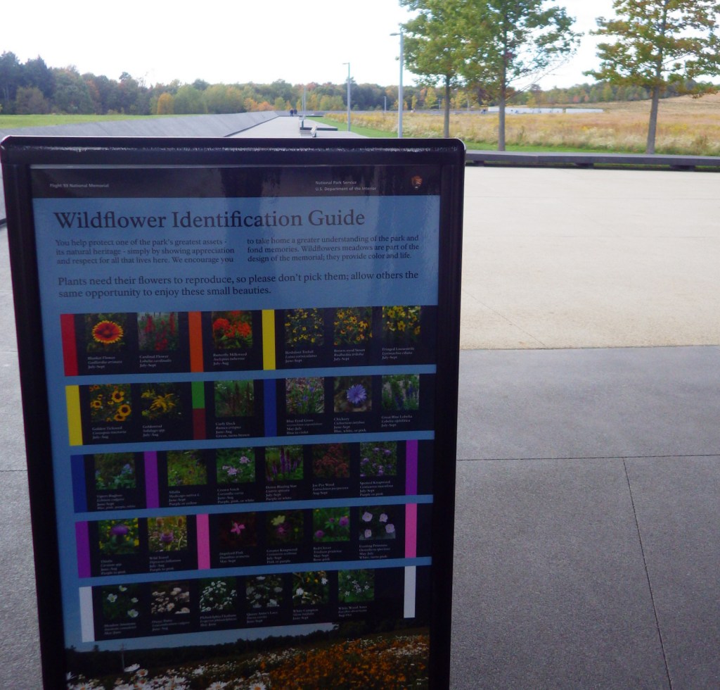

Wildflowers blooming in October 
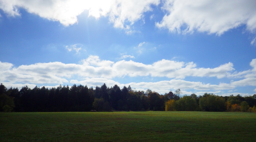
A boulder marks the crash site at the edge of the forest 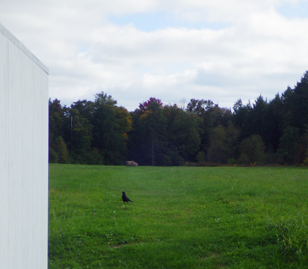
Raven about the park
Explore More – Where was the United Airlines flight from Newark, New Jersey bound for on September 11, 2001?