Overview
Sunset Crater Volcano National Monument outside Flagstaff, Arizona is worth a closer look than a drive-by on your way to Grand Canyon National Park. As its name suggests, this thousand-foot high cinder cone is stained red as though in perpetual twilight. Volcanic activity last occurred here in the year 1180 AD, but even though geologists consider this area dormant, it is just possible that a new cinder cone might start erupting at any time.

Highlights
Lava Flow Nature Trail, Bonito Lava Flow, Lenox Crater Trail, O’Leary Peak
Must-Do Activity
A 35-mile loop drive through Sunset Crater Volcano National Monument to neighboring Wupatki National Monument passes through ponderosa pine forest and sunflower-filled meadows on its way to an arid, rocky high desert region that is dotted with ruins. From the road you can see the San Francisco Peaks rising to the west, as well as a series of cinder cones outside the monument’s boundaries. Several of these mini-volcanoes are accessible by roads, including our favorite: S.P. Crater.
Best Trail
To experience the black cinders you have to get out of your car and hike through them, but take your time as the elevation is around 7,000 feet. Lava Flow Nature Trail provides interpretive signs along a partially paved one-mile loop. You cannot climb to the top of Sunset Crater, but you can summit nearby Lenox Crater on a steep one-mile trail.
Instagram-worthy Photo
Sunset Crater and the Bonito Lava Flow are especially eye-catching when viewed from atop 8,900-foot O’Leary Peak, accessible by hiking to a fire lookout tower in adjacent Coconino National Forest. The awe-inspiring vista will make you glad that movie producers were stopped from dynamiting Sunset Crater in 1928.

Peak Season
Summer
Hours
https://www.nps.gov/sucr/planyourvisit/hours.htm
Fees
$25 per vehicle, which also covers entrance to neighboring Wupatki National Monument.
Road Conditions
All roads paved
Camping
The U.S. Forest Service runs the Bonito Campground across from the Sunset Crater visitor center from May through October. Dispersed camping is allowed in portions of Coconino National Forest.
Related Sites
Wupatki National Monument (Arizona)
Craters of the Moon National Monument and Preserve (Idaho)
Capulin Volcano National Monument (New Mexico)

Tiff with a field of sunflowers in September 2009 
Scott and Wendigo in the Bonito Lava Flow 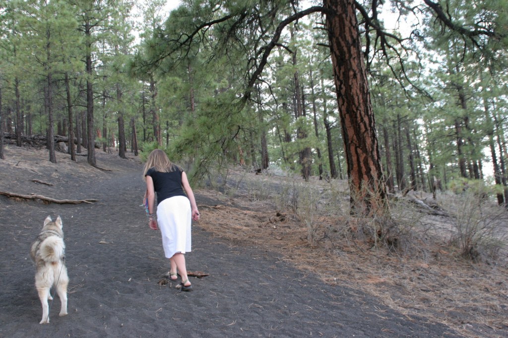
Tiff and Wendigo on Lenox Crater Trail 
Scott at the NPS visitor center in December 2015 
Sunset Crater in snow 
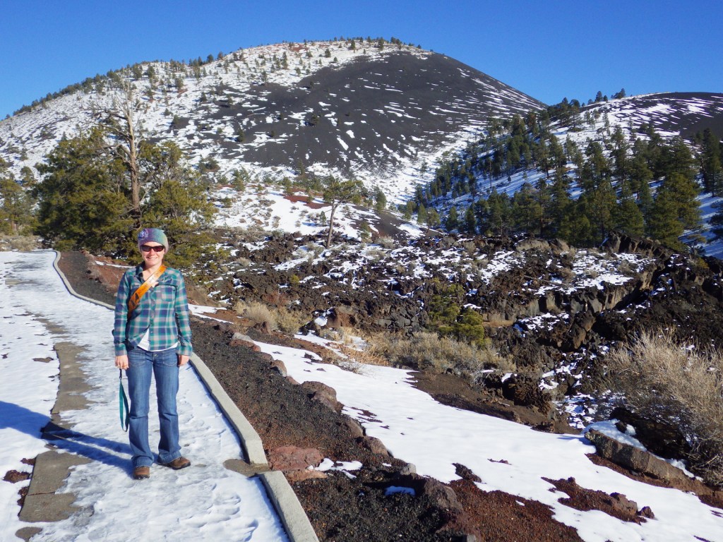
Tiff on the Lava Flow Nature Trail 
View of the San Francisco Peaks from O’Leary Peak 
Explore More – How many millions of years of volcanic activity have occurred in the area around Flagstaff, Arizona?