There are exactly 10 National Seashores in the National Park Service (NPS) system, so choosing which ones to put in the Top 10 was not difficult. However, they are all similar, so ranking them was tricky. Also, without anything to put in the Honorable Mentions category, we decided to rank the three remaining National Lakeshores (after Indiana Dunes became a National Park in 2019). Click here to see all of our Top 10 Lists.
10. Padre Island National Seashore (Texas)
There was a ton of plastic debris washed up on the beach, though the sea turtles did not seem to mind

9. Canaveral National Seashore (Florida)
Apollo Beach was too steep to lie down on, but we did see our first manatee in Mosquito Lagoon
8. Cape Cod National Seashore (Massachusetts)
Great white sharks might keep swimmers out of the water, but there are some nice hiking trails
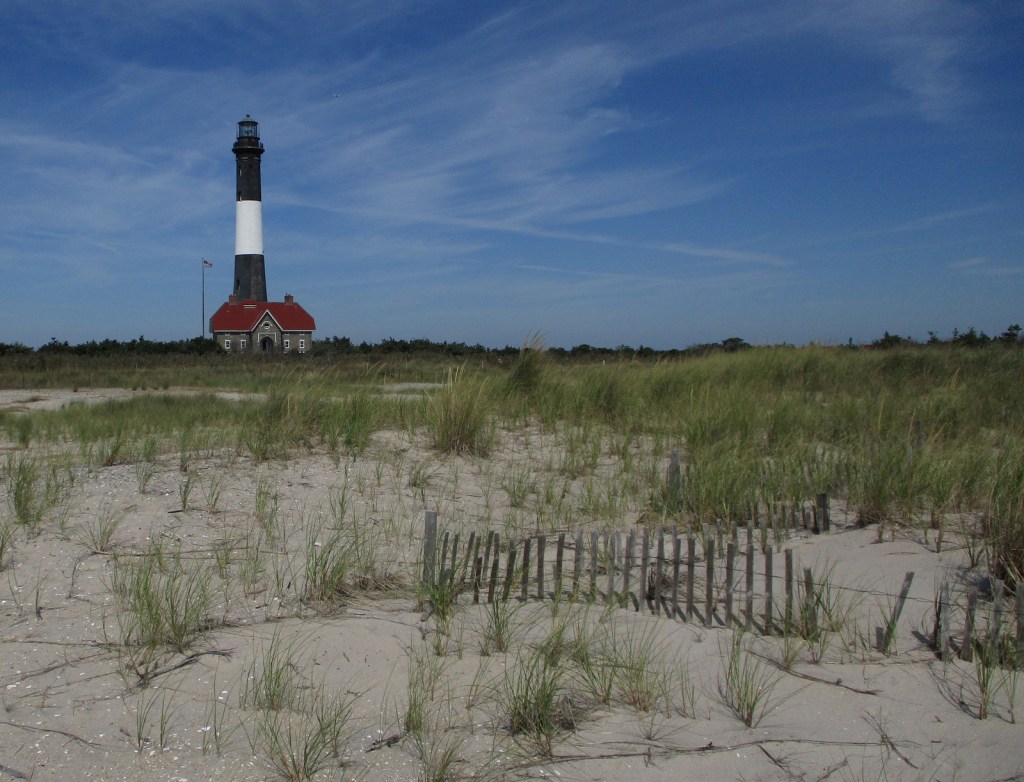
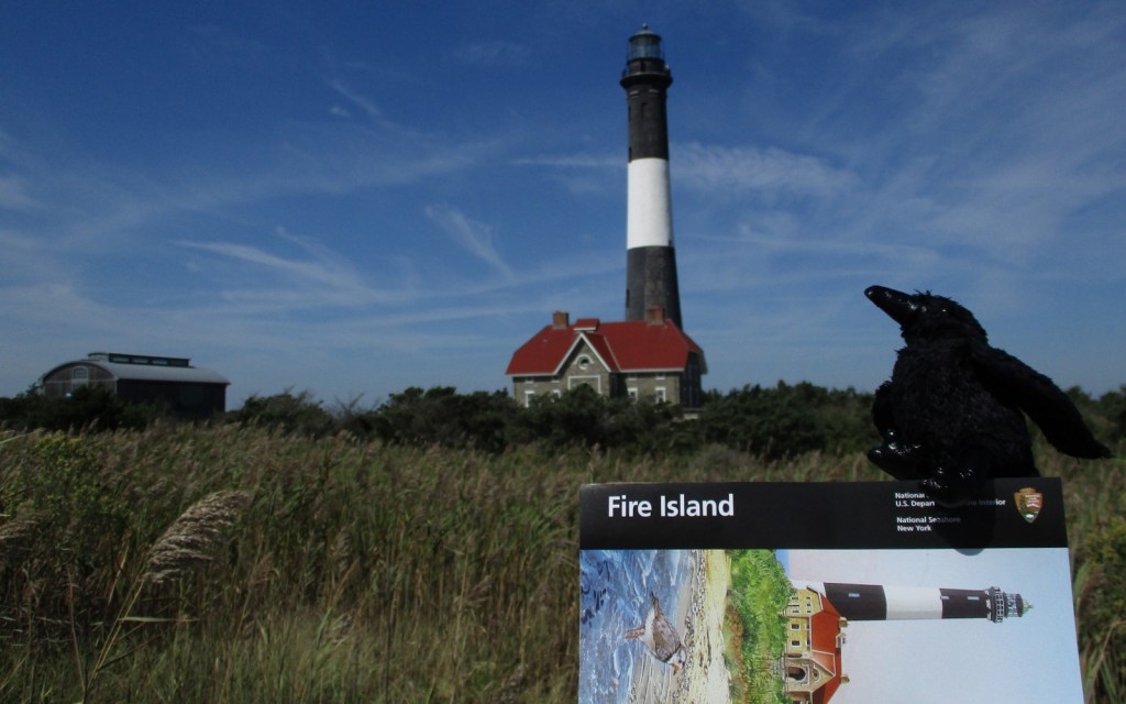
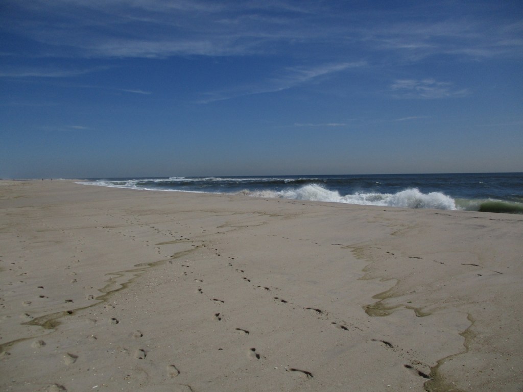
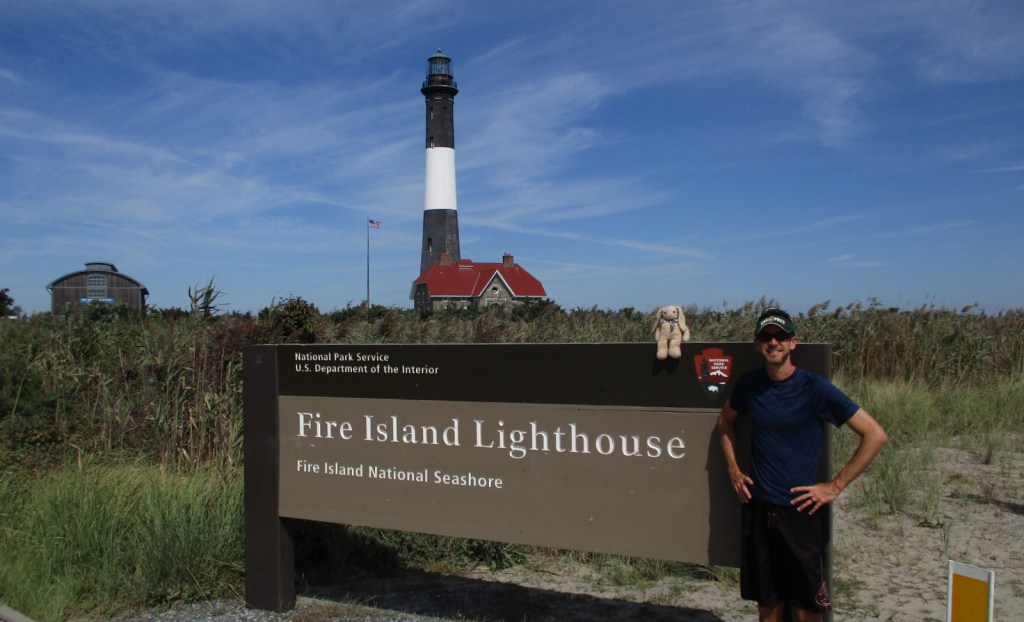
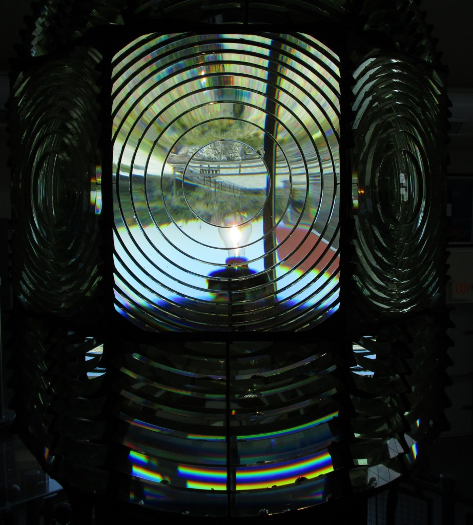
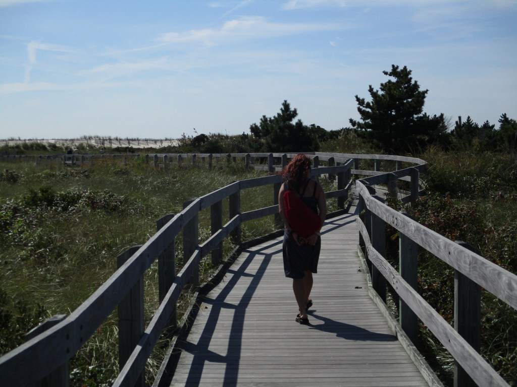
7. Fire Island National Seashore (New York)
This roadless area is most easily accessed by ferry from Long Island

6. Cape Hatteras National Seashore (North Carolina)
Known for its lighthouses, beachside campgrounds, and good swimming conditions
5. Assateague Island National Seashore (Maryland-Virginia)
Wild ponies are its most famous residents, but also home to seahorses and other marine animals
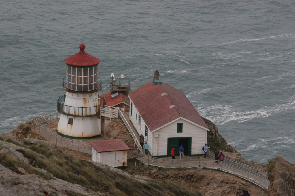
4. Point Reyes National Seashore (California)
Watch for gray whales and elephant seals in the winter along the foggy Pacific coast
3. Cape Lookout National Seashore (North Carolina)
You will need a boat to access these barrier islands, a great place to camp and collect shells
2. Cumberland Island National Seashore (Georgia)
Take the ferry for a daytrip or an overnight camping experience, and hunt for fossilized shark teeth
…and finally the #1 National Seashore:

1. Gulf Islands National Seashore (Florida-Mississippi)
Beautiful white sand beaches and interesting historic forts make this our favorite spot
Top 3 National Lakeshores
3. Sleeping Bear Dunes National Lakeshore (Michigan)
Most of the sand dunes are covered by forest at this spot known for its fishing and canoeing
2. Pictured Rocks National Lakeshore (Michigan)
We will never forget kayaking through the Petit Portal along the cliffs of Lake Superior

1. Apostle Islands National Lakeshore (Wisconsin)
Sea caves carved by Lake Superior’s waves and island campsites are the biggest draw