Rhode Island Road Trip Itinerary
Rhode Island
661,638 acres (0.03% of U.S.)
Statehood 1790 (13th of 50)
Capital: Providence
Population: 1,097,379 (44th of 50)
High Point: Jerimoth Hill (811 feet)
Best time of year: Summer for beaches, music festivals, and WaterFire in Providence
We recently published our guidebook 50 States of Great: Road Trip Guide to America, so we decided to start a new type of blog post where we create a travel itinerary for all 50 states, in addition to our usual National Forest and National Park entries. After starting with Kansas, Georgia, and Idaho, we decided to do a New England state. Despite it being the smallest of all 50 states, we were able to make a five-day plan starting in northern Rhode Island, with some options to extend the trip.
Day 1
Providence
Until 2020, the state’s full legal name was Rhode Island and Providence Plantations, but the legislature felt that had slavery connotations so they shortened it to Rhode Island. At the head of Narragansett Bay, the capital city of Providence holds a summerlong event called WaterFire, where on weekend nights 86 wood-filled braziers blaze around the confluence of the Woonasquatucket and Moshassuck Rivers.
Roger Williams National Memorial (click here for our blog post)
Dedicated to the man who left the Puritan-led Massachusetts Bay Colony in 1636 to found a city based on religious freedom, this 4.5-acre park in downtown Providence houses a small National Park Service (NPS) visitor center. A short, but steep walk takes you to a large statue of Roger Williams that offers a great overlook of the city.

Optional stop at Roger Williams Park
Not to be confused with Roger Williams National Memorial, this large park is home to a zoo. Providence also has two famous historic homes: the Sullivan-Dorr House and John Brown House.
Day 2
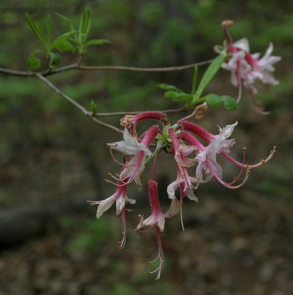
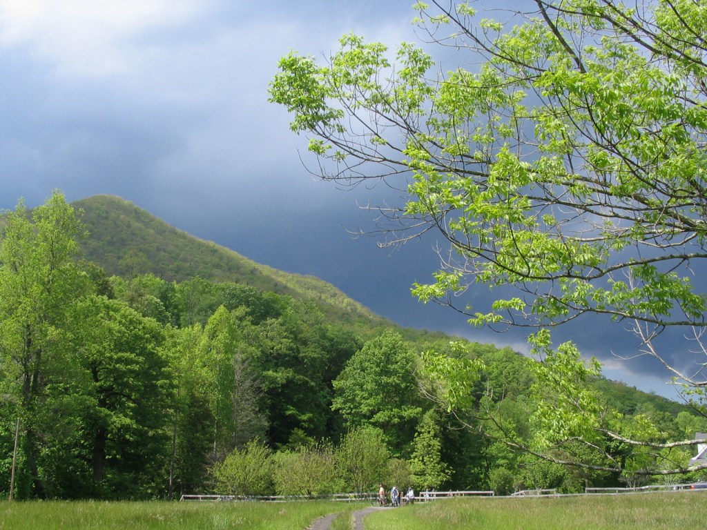
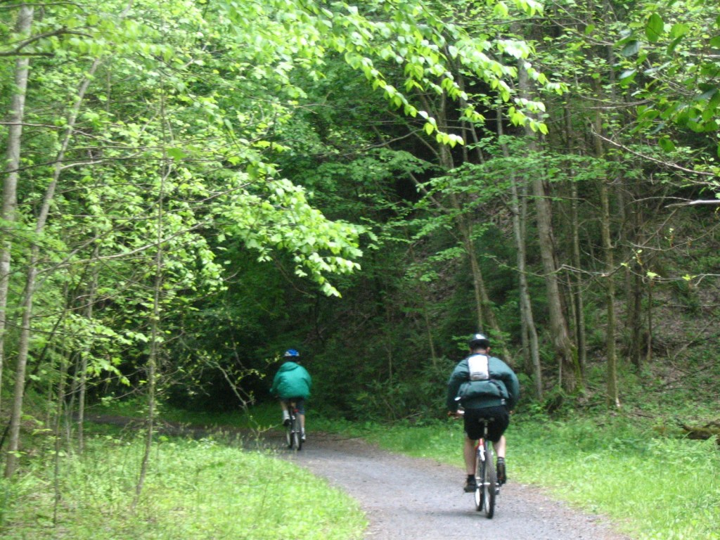
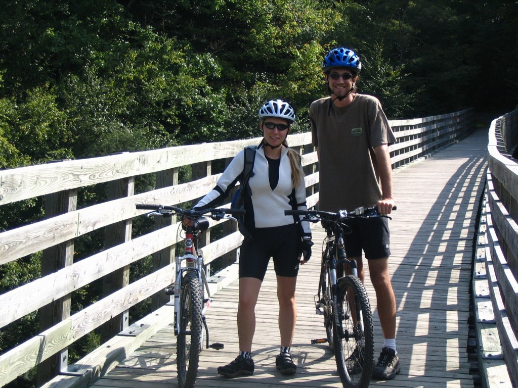
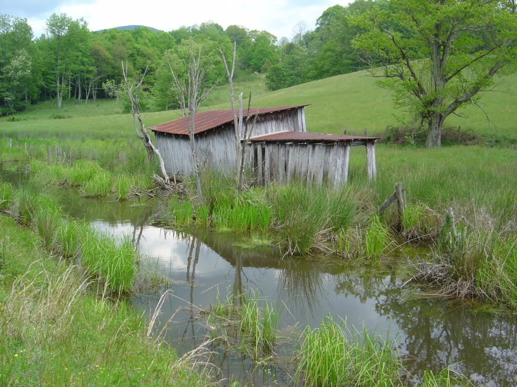
Blackstone River State Park
A scenic drive follows Highway 122 to this park, which has a free museum inside the historic Kelly House and a section of the canal that once followed the river. It also has 3.5 miles of the 24-mile (of a planned 48) paved bikeway along the canal towpath.

Blackstone River Valley National Historical Park (click here for our blog post)
Blackstone River State Park is part of this park, which commemorates the industrial revolution that changed the landscape of America during the 1800s, as well as the immigration of factory workers that changed its face. The NPS works with a partnership of government agencies, non-profits, and businesses in Massachusetts and Rhode Island. The National Historical Park’s centerpiece is the nation’s first successful water-powered cotton-spinning factory:
Old Slater Mill National Historical Landmark
Located at a short, 180-foot-long dam on the Blackstone River in Pawtucket, free NPS ranger-guided tours are offered at this site. Check out the bus station across the street for more interpretive displays and information. By 1880, this “hardest working river” was one of the most polluted in the country, but it has recovered so that canoeists can now safely float portions of its 46-mile length.

Optional stop at Jerimoth Hill
It is a short, flat walk from a pullout on Highway 101 to the highest point in the state near the border with Connecticut.

Day 3
Shannock
This small village is situated on the Pawcatuck River, which has fueled grist mills, sawmills, woolen mills, cotton mills, and silk mills throughout its history. Today, the curved shape of ten-foot-tall Horseshoe Falls Dam and fishway makes it unique and very picturesque.

One of many red-brick coastal fortifications built in the U.S. after the War of 1812, visitors must purchase a ticket for a guided tour to explore inside the fort. It hosts the famous Newport Folk Festival and Newport Jazz Festival on successive summer weekends in August, as well as the Great Chowder Cook-Off and Classic Yacht Regatta every Labor Day weekend. During the Newport Winter Festival, ice carving and sand sculpture competitions are held here.
Optional stop at Seabee Museum and Memorial Park
In North Kingston, the A-shaped Chapel in the Pines and a three-dimensional statue of the Seabee logo are photogenic spots at this collection of Quonset Huts that honors the military engineers of World War II.

Day 4
Newport
Primarily built during the Gilded Age of the late 1800s, there are 11 houses open for tours that were the summer “cottages” of affluent families with recognizable last names like Carnegie, Vanderbilt, Morgan, Astor, and Rockefeller.

Cliff Walk National Recreation Trail
Only 3.5 miles long, there are multiple public access points to this pathway that follows the shoreline through the backyards of some of the most expensive houses in Newport. If you can only do part of the trail, make sure it includes the scenic area around the 40 Steps, a granite staircase located at the end of Narragansett Avenue.
Touro Synagogue National Historic Site
The nation’s oldest standing synagogue was originally built in 1763, although its congregation dates back to a century earlier when they came to Newport seeking religious freedom. There is an admission fee for the 30-minute tour to see the ornate interior of the synagogue, and, next door, the Loeb Visitor Center opened in 2009 with an excellent museum upstairs.

Newport Tower/Old Stone Mill
A 28-foot-tall tower in Touro Park has been variously attributed to the Vikings, the Knights Templar, Chinese sailors, Portuguese explorers, or the English astronomer John Dee. We first learned about it from reading the side of a U-Haul trailer. Although there is no information about it at the site, the nearby Newport Tower Museum provides plenty of speculation on its mysterious origins. The most likely explanation is that it was built by Rhode Island’s first Governor, Benedict Arnold (great-grandfather of the infamous Revolutionary War General), as the base for a windmill.

Optional stop at Green Animals Topiary Garden
Located ten miles outside Newport, this stop is more popular with children than the tedious, “do-not-touch” mansion tours.
Day 5
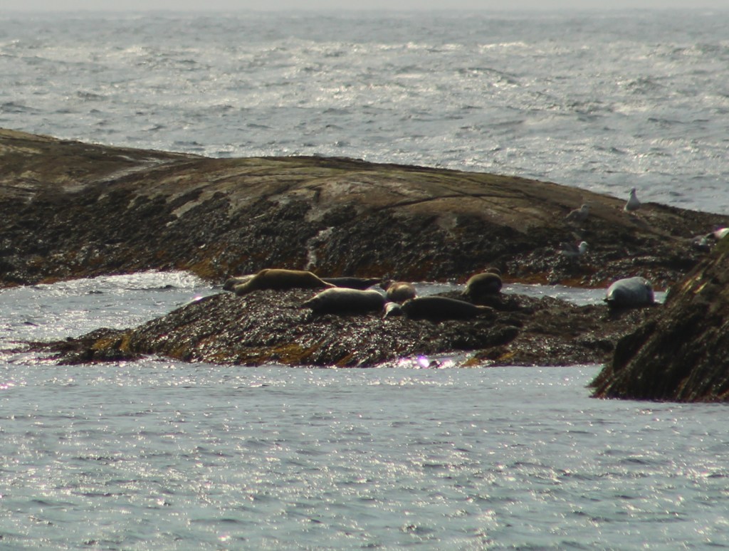
Save the Bay Seal Watch Cruise
The Ocean State has 384 miles of Atlantic shoreline, much of it in Narragansett Bay, where harbor seals, hooded seals, gray seals, and harp seals can be seen on a guided cruise.
Ninigret National Wildlife Refuge
Walk the beach of a barrier island in Ninigret Conservation Area, or park inland at the Kettle Pond Visitor Center to hike trails through the woods on these 900 acres set aside in 1970 as a National Wildlife Refuge.
Sitting on 153 acres at the southern tip of Conanicut Island, this park at the entrance to Narragansett Bay is famous for its 1856 lighthouse, but even more so for its sunsets. The assistant keeper’s house now contains the Beavertail Lighthouse Museum where you will learn about the construction of Beaver Tail Fort during the American Revolution and Fort Burnside during World War II.

Fishermen’s Memorial Campground
Located not on the beach but inland in the town of Narragansett, this campground is near Roger Wheeler State Beach, Salty Brine State Beach, and Scarborough State Beach, as well as the Block Island Ferry Dock at Point Judith. It is extremely popular in the summer, so reservations are recommended.
Optional stop at Fantastic Umbrella Factory
This commune on the coast in Charleston has a small store selling handmade artwork and decorations, mostly with a beach theme.

Day 6+ optional ferry to Block Island
Pick up a ferry in Newport or Point Judith to spend a few nights on scenic Block Island (where we hope to visit someday). There are few cars allowed on the island, so everyone is encouraged to bicycle or walk its 28 miles of nature trails. More than 47% of the island is preserved from development, including Rodman’s Hollow and Mohegan Bluffs Scenic Natural Areas.

Block Island National Wildlife Refuge
Located at the northern end of the 6,000-acre island situated 12 miles off mainland Rhode Island, the refuge is an important stop for migratory birds since its many ponds contain significant sources of freshwater. Block Island and its 17 miles of sandy beaches have been attracting summer vacationers for decades, but the National Wildlife Refuge was not established until 1973.

Learn more about Rhode Island’s Most Scenic Drive, Wonderful Waterfall, Top State Park, and other categories in our new travel guidebook 50 States of Great: Road Trip Guide to America.