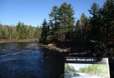
Katahdin Woods and Waters National Monument
Managed by National Park Service
Established 2016
87,564 acres
Website: nps.gov/kaww
Overview
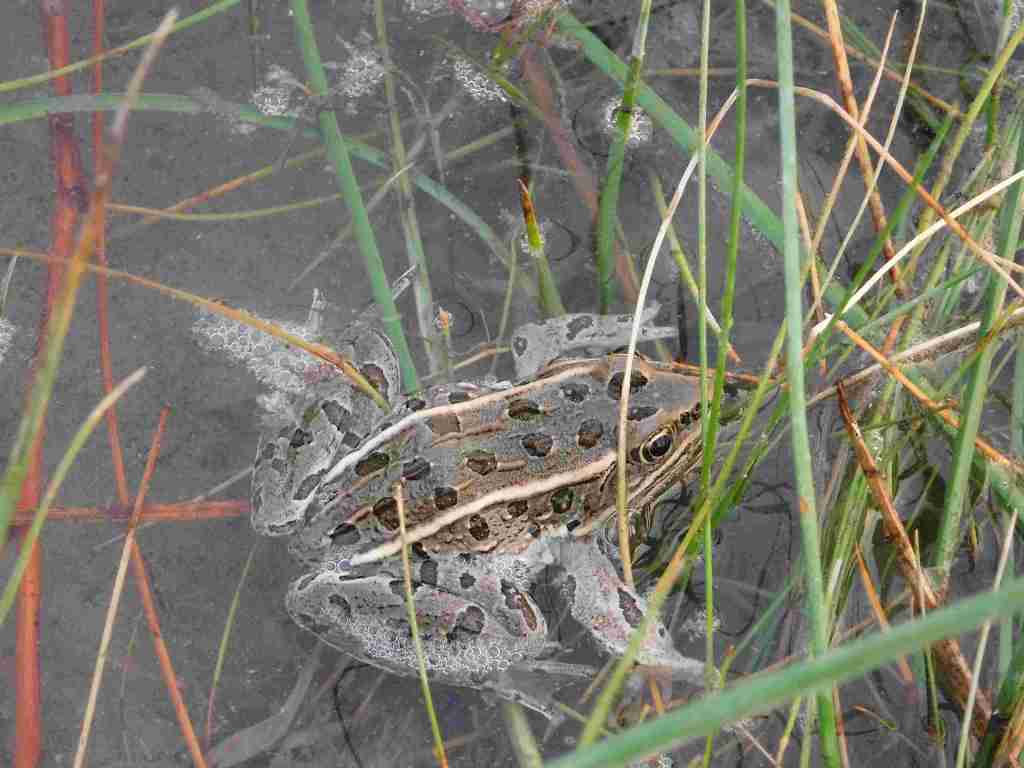
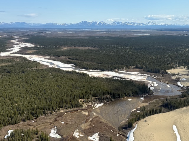
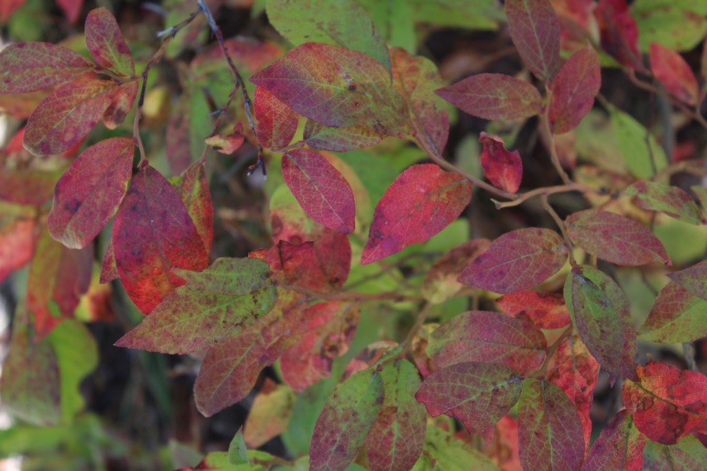
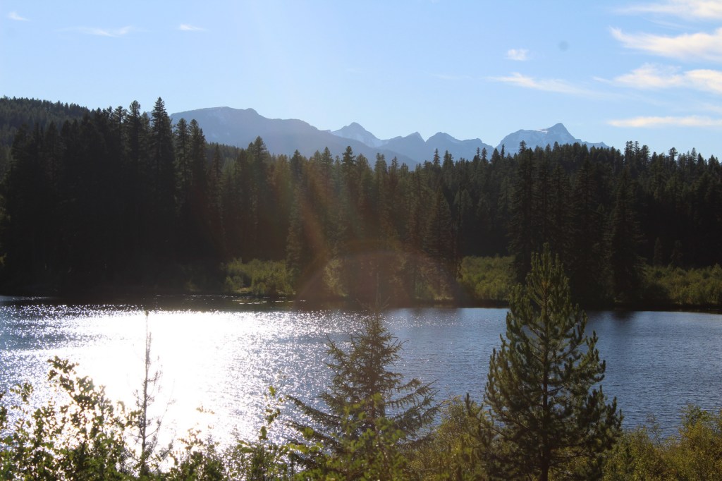
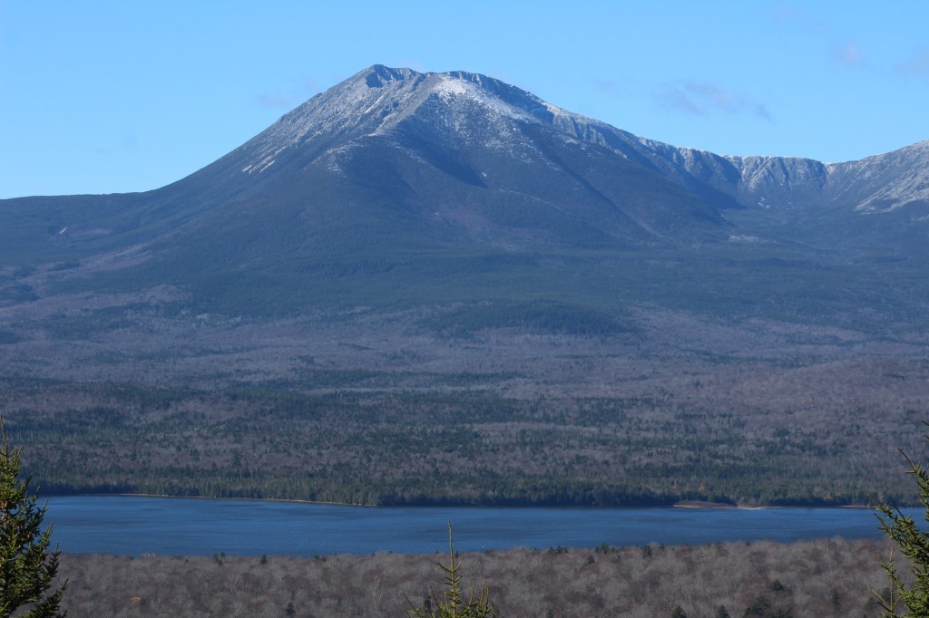
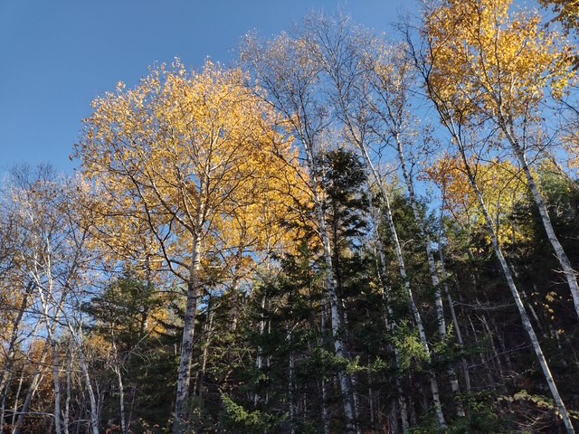
Central Maine is an ecological transition zone between boreal and broadleaf deciduous forests that provides habitat for Canada lynx, black bear, moose, and beaver. The waters are home to brook trout and Atlantic salmon, which are being reestablished with cooperation between government agencies and the Penobscot and other Wabanaki Nations. The official northern terminus of the Appalachian National Scenic Trail, Katahdin means “greatest mountain” in the Penobscot language and is the name of the 5,269-foot peak outside National Monument boundaries in neighboring Baxter State Park. This undeveloped landscape was purchased by the businesswoman Roxanne Quimby beginning in 2001 with the plan to turn it into a National Park. It was donated to the National Park Service to mark the centennial of its creation and, despite some controversy, was established by President Barack Obama.
Learn more about the other 137 National Monuments in our book Monumental America: Your Guide to All 138 National Monuments. It is now available for sale on Amazon.com.
Highlights
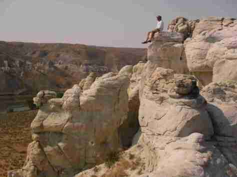
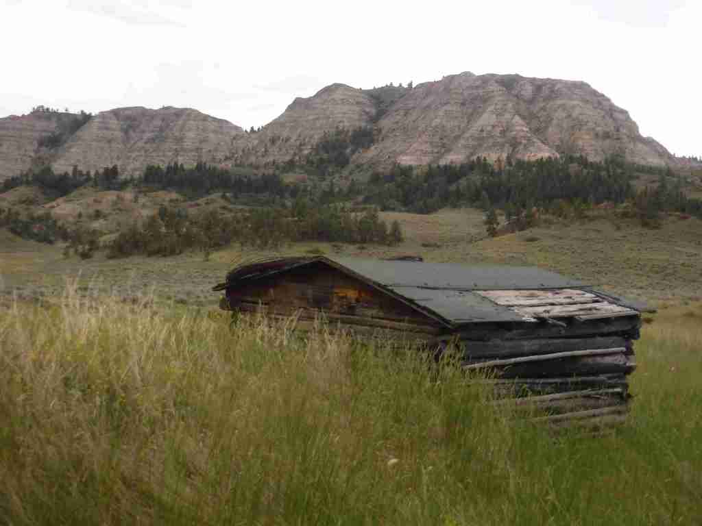
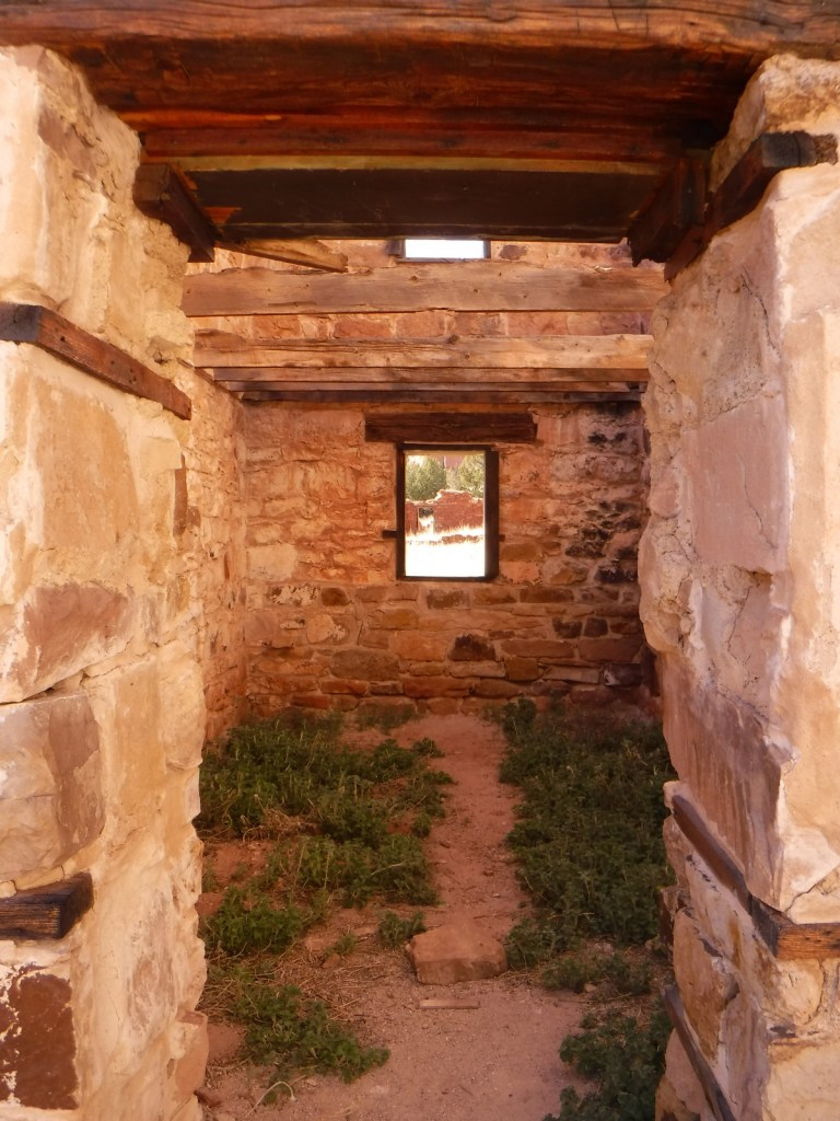
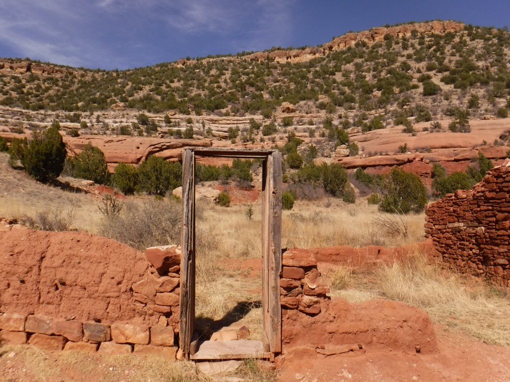
Tekαkαpimək Contact Station, Patten Lumbermen’s Museum, Katahdin Loop Road, Barnard Mountain, Stair Falls
Must-Do Activity
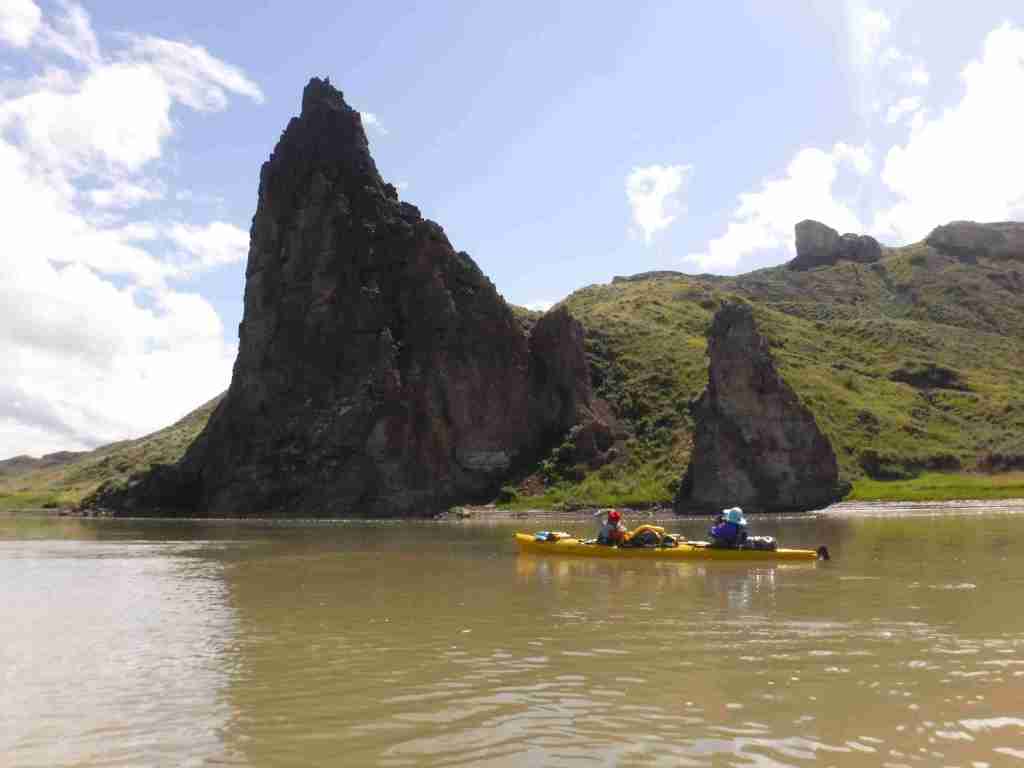
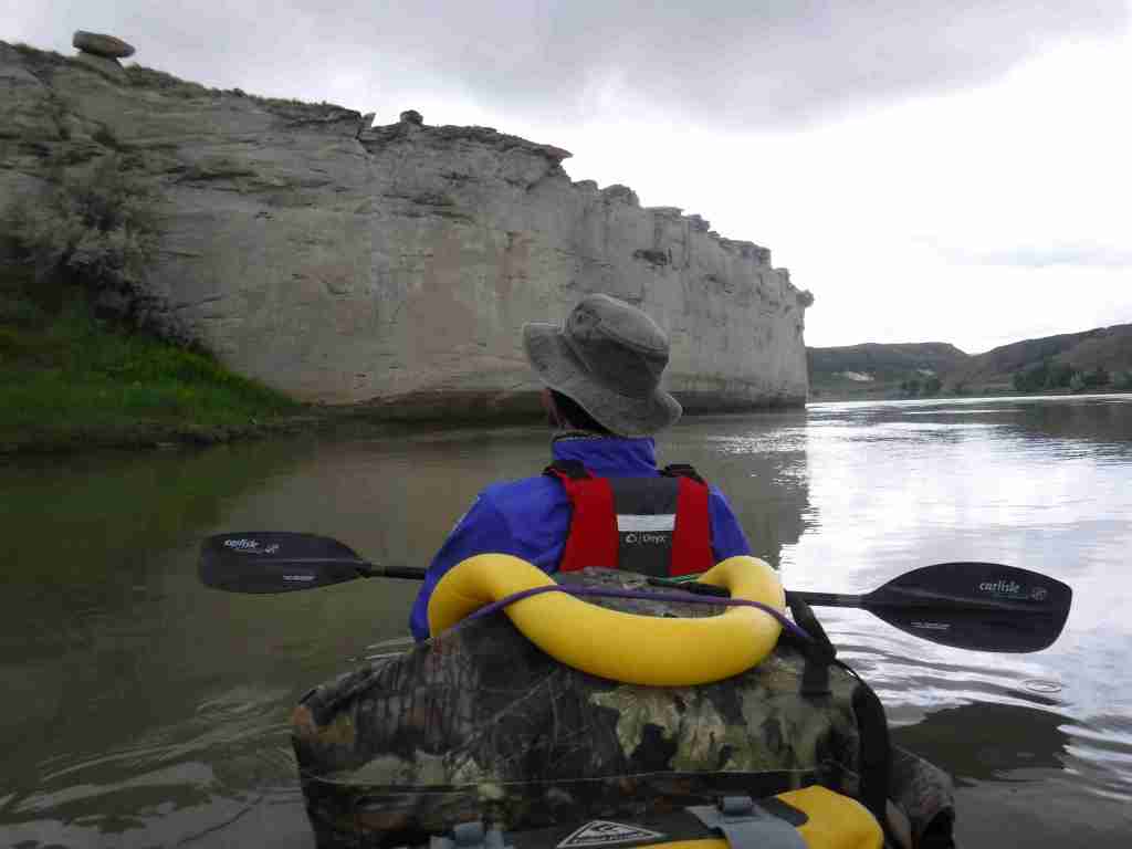
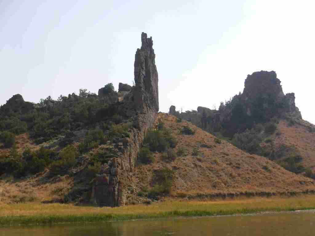
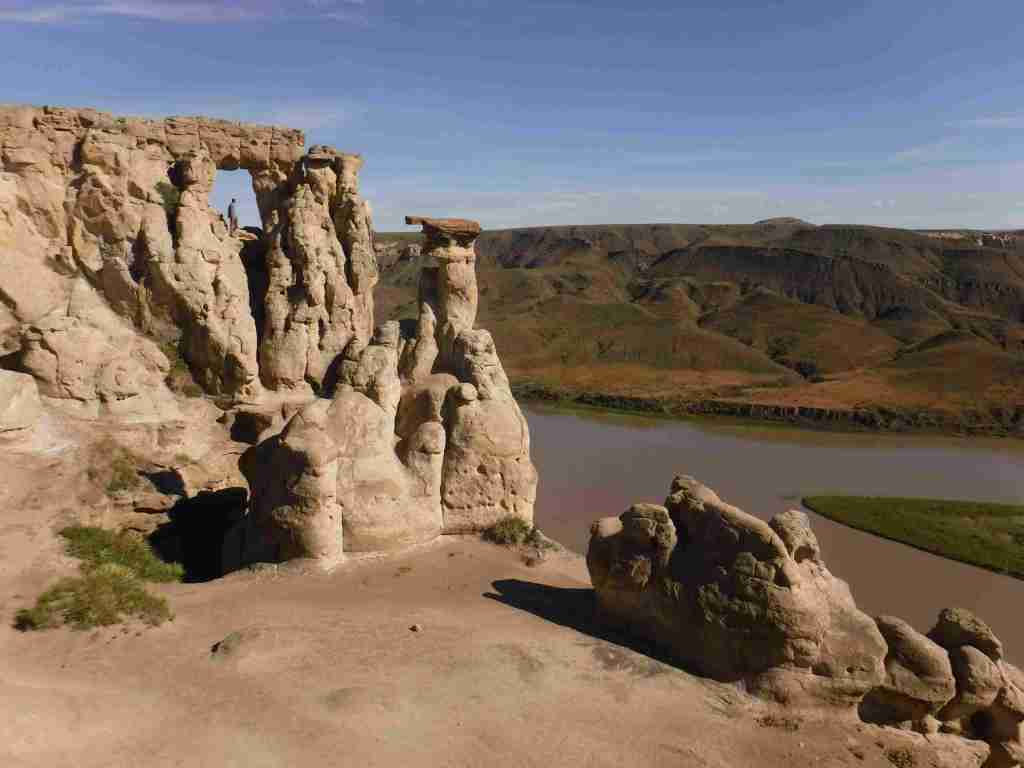
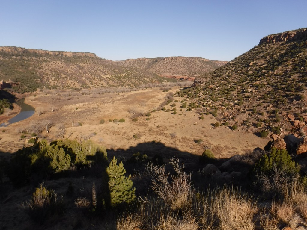
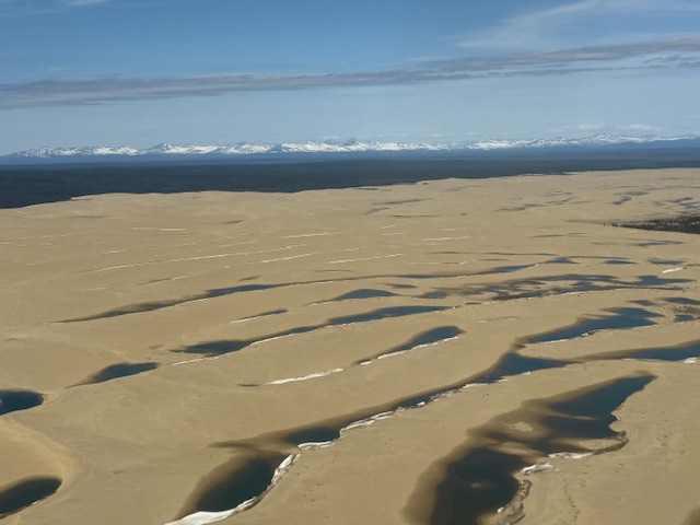
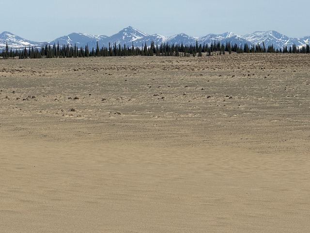
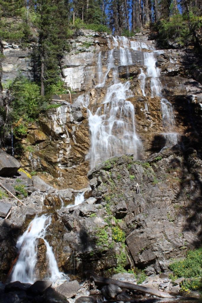
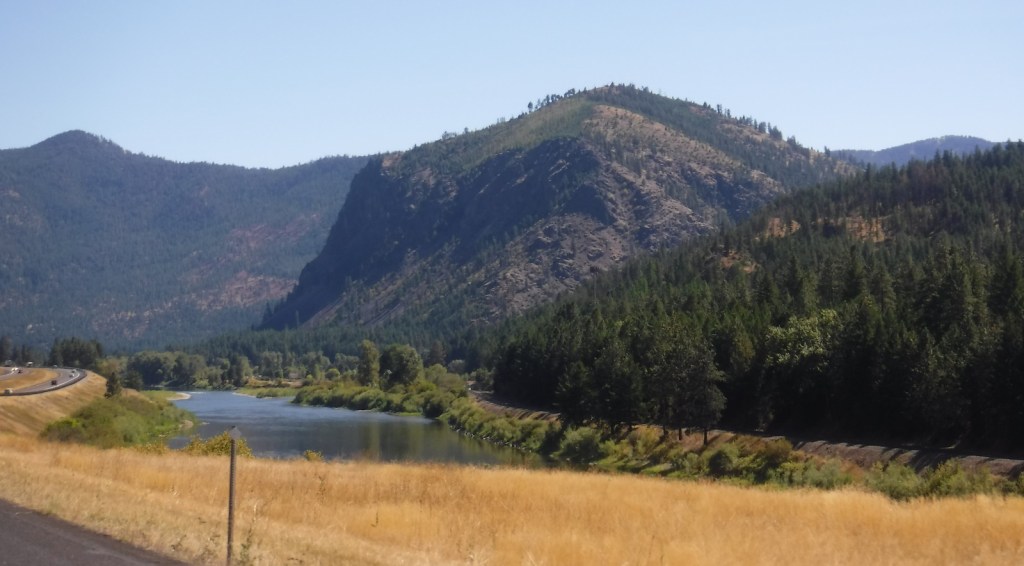
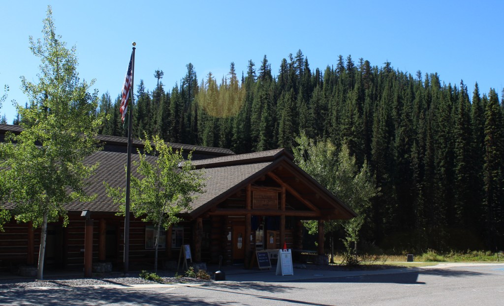
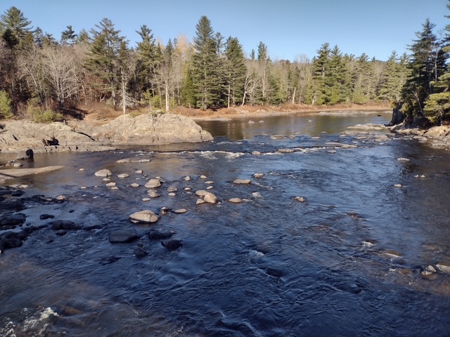
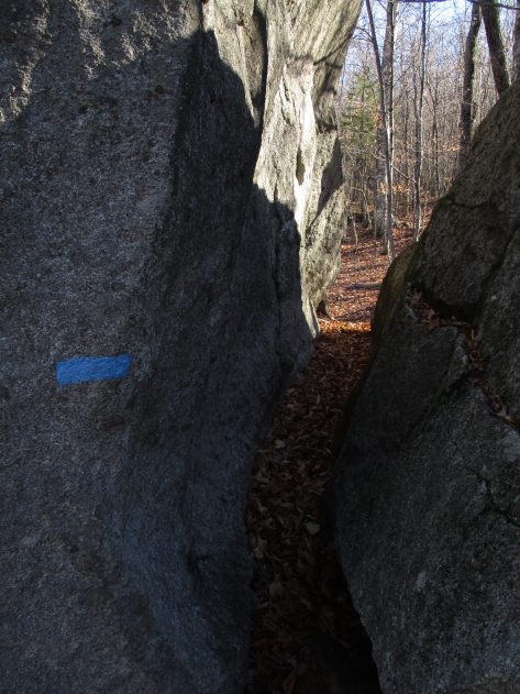
Opened in 2025 near the south entrance, the Tekαkαpimək Contact Station is seasonally open Friday through Sunday in a building inspired by Wabanaki culture. The National Park Service no longer works out of the Patten Lumbermen’s Museum (but it is still worth a visit). The 17-mile-long Katahdin Loop Road in the southern section of the National Monument is the most developed with picnic areas, vault toilets, and overlooks. The unpaved loop road is accessed from the east by miles of unpaved road and has no access to Baxter State Park. About 30 miles of the International Appalachian Trail runs through Katahdin Woods and Waters National Monument with lean-tos dispersed along the route. Other than hiking, visitors enjoy stargazing, birding, leaf peeping in the fall, canoeing the East Branch of the Penobscot River with portages around its many waterfalls. In the winter, there are opportunities for cross-country skiing, snowshoeing, and snowmobiling.
Best Trail
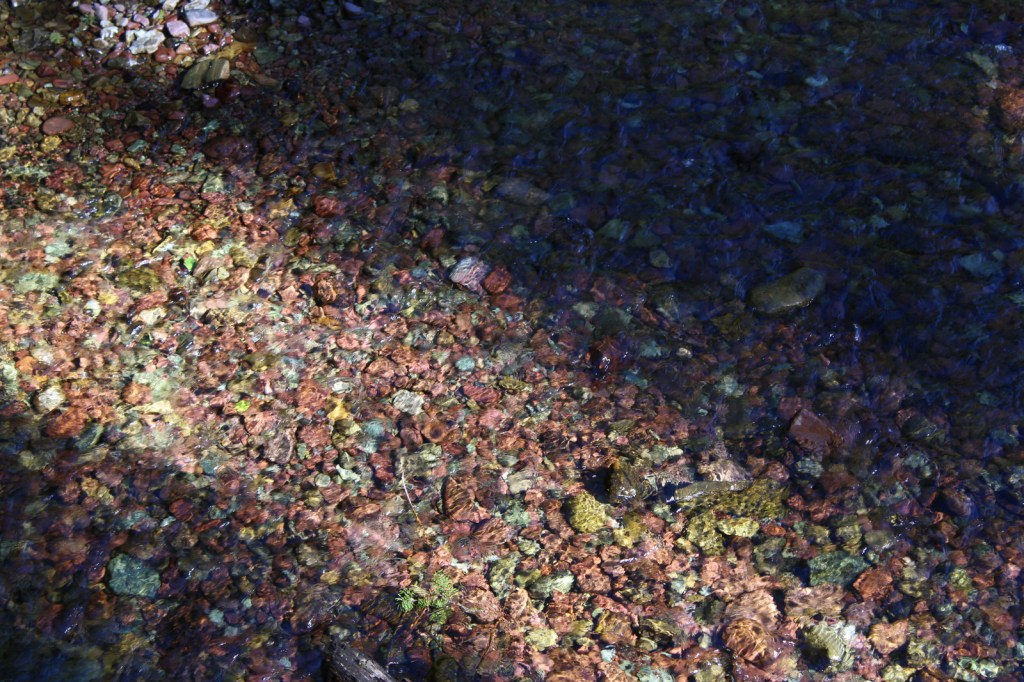
From the Haskell Gate at the end of New River Road, it is 3.5 miles out-and-back to Stair Falls on the East Branch of the Penobscot River. The first part follows an old road and the International Appalachian Trail before branching north at a signed junction to access the water and is also open to bicycles. The only trailhead accessed from a paved road is the 13.6-mile Seboeis Riverside Trail that starts outside the National Monument off Grand Lake Road.
Photographic Opportunity
One of the best views of Katahdin is from the top of Barnard Mountain, accessed by a two-mile one-way hike with 725 feet of elevation gain.

Peak Season
Summer
Hours
https://www.nps.gov/kaww/planyourvisit/basicinfo.htm
Fees
None
Road Conditions
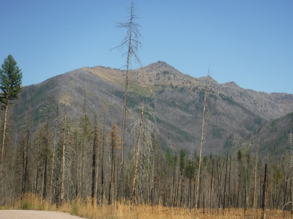
Every road within the National Monument is unpaved, so watch for potholes and logging trucks. The north and south entrances have gates that close seasonally.
Camping
Reservations are required to car camp at designated sites within Katahdin Woods and Waters National Monument and can be made online at Recreation.gov.
Related Sites
Appalachian National Scenic Trail (Maine to Georgia)
Saint Croix Island International Historic Site (Maine)
White Mountain National Forest (New Hampshire, Maine)
Nearest National Park


Explore More – When did Katahdin Woods and Waters National Monument receive official recognition as a Dark Sky Sanctuary?

Learn more about the other 137 National Monuments in our book Monumental America: Your Guide to All 138 National Monuments