Overview
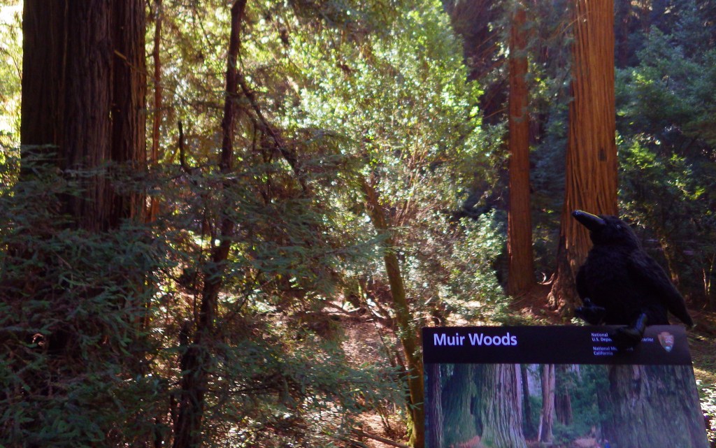
Named for passionate preservationist and Bay Area resident John Muir, this old-growth forest of coast redwood trees is a world away from the bustle of the city. Originally established in 1908, the National Monument is administered by the National Park Service (NPS) as part of Golden Gate National Recreation Area. It is located just south of Point Reyes National Seashore and here you can also access the coastline at nearby Muir Beach.
Highlights
Coast redwood trees, Redwood Creek Trail, Canopy View Trail, Muir Beach
Must-Do Activity
North of the Golden Gate Bridge, the San Francisco sprawl gives way to a rugged and idyllic landscape. The twisty drive over the coastal mountains to 554-acre Muir Woods National Monument is part of the adventure. There is a café and gift shop, plus the NPS operates a small bookstore, but not a museum at the site. This small park receives an average of one-million visitors per year, so expect the trails to be crowded on weekends and sunny days.
Best Trail
There are only six miles of trails in the National Monument, but they connect with the extensive system in surrounding Mount Tamalpais State Park. It is often foggy and always shady beneath these massive trees, so it is best to dress in layers.
Instagram-worthy Photo
The coast redwoods growing here are more than 250 feet tall, so hike up the aptly named Canopy View Trail to get a birds-eye view.

Peak Season
Summer
Hours
https://www.nps.gov/muwo/planyourvisit/hours.htm
Fees
$15 per person or America the Beautiful pass
Road Conditions
The winding access road is steep and narrow, so RVs over 35 feet in length are prohibited.
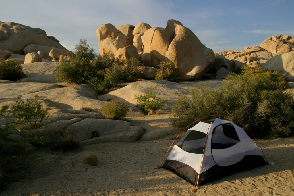
Camping
There are walk-in tent campsites at Mount Tamalpais State Park and backcountry campsites (permit required) at Point Reyes National Seashore.
Related Sites
John Muir National Historic Site (California)
Redwood National and State Parks (California)
Golden Gate National Recreation Area (California)

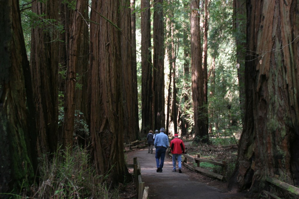
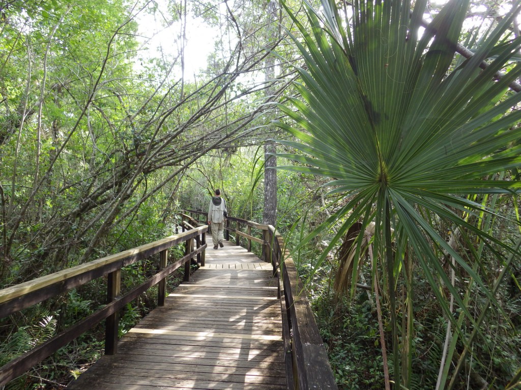
Redwood Creek Trail 

Tiff on the Canopy View Trail 
Ferns 
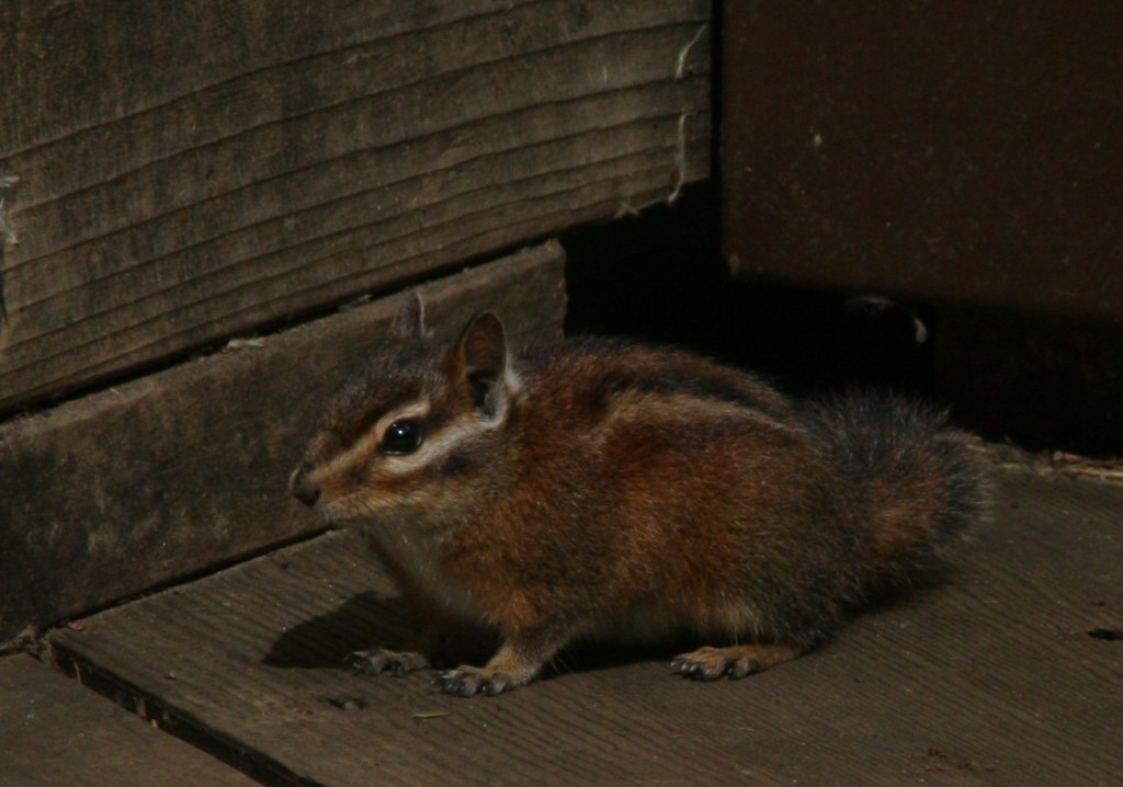
Chipmunk 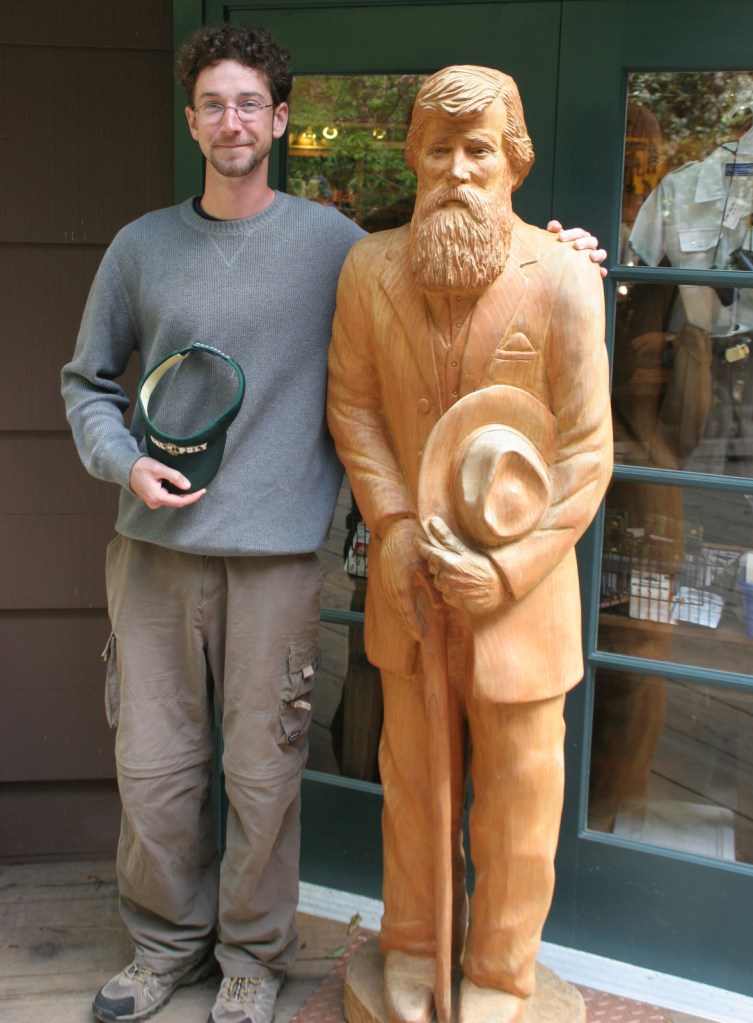
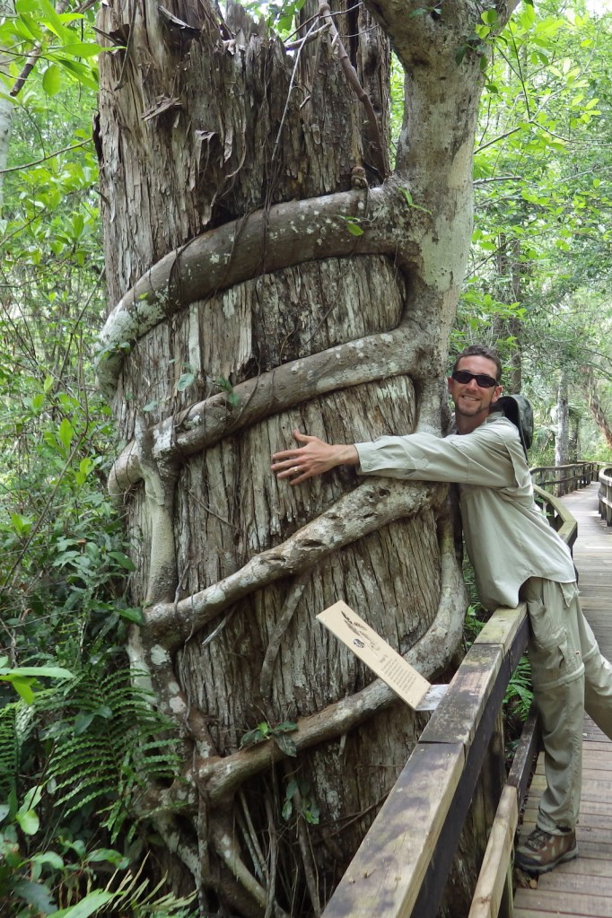
Scott with a carving of John Muir 
Banana slug 

Turkeys in the parking lot 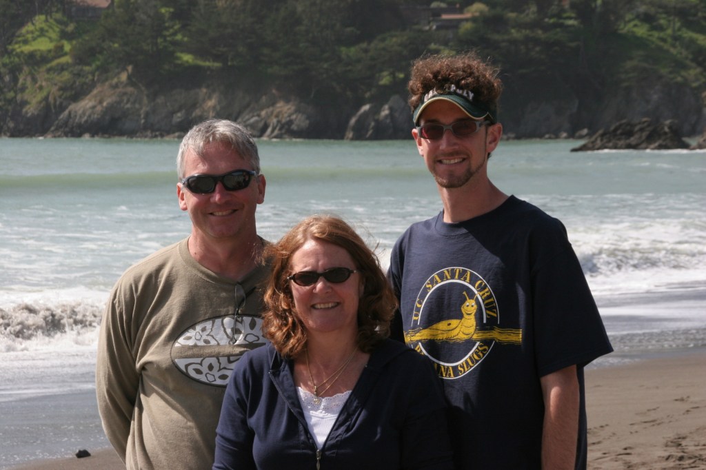
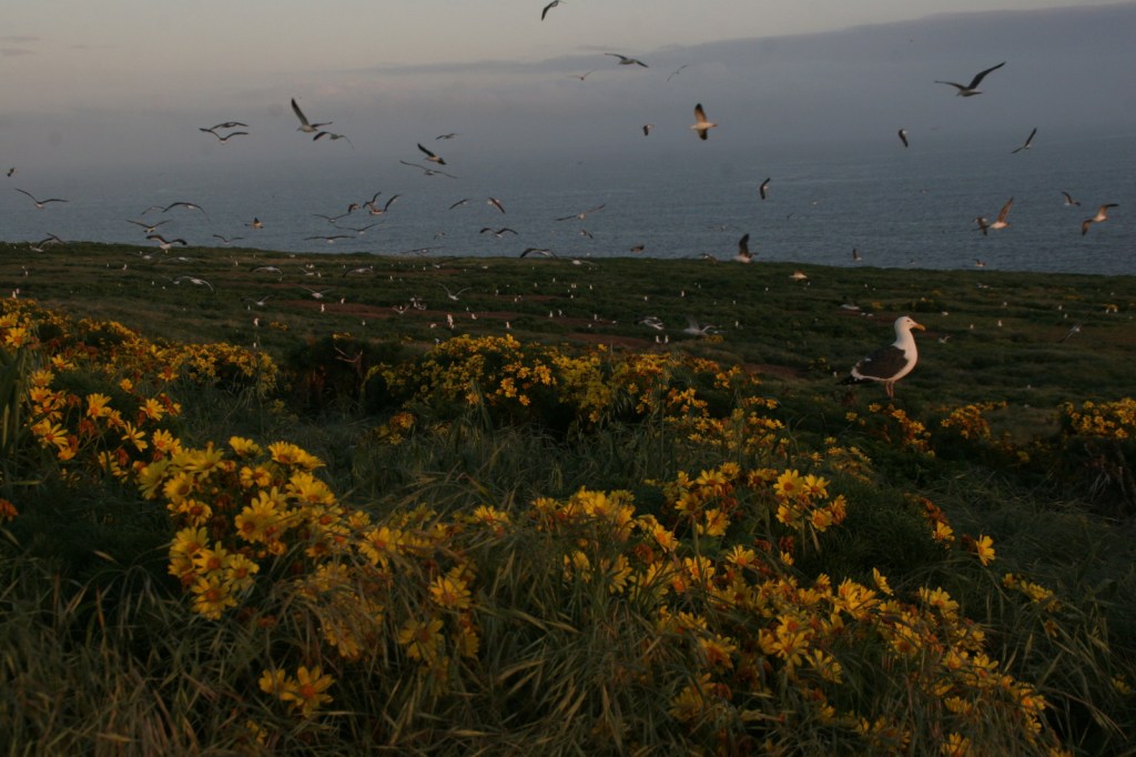
Scott and his parents at Muir Beach
Explore More – Coast redwood is the tallest species in the world, requiring coastal fog to stay hydrated; how far inland do the trees naturally occur?