Overview
Water dominates Voyageurs National Park on the border of Minnesota and Ontario, Canada. So much so that many of the land formations were never given names by the French fur traders (or “voyageurs”) that navigated these waters beginning in the late-1700s. It was a hard life, paddling large birch bark canoes full of supplies up to sixteen hours per day. Today the park is famous for its manmade destinations, including Kettle Falls Hotel, Hoist Bay Resort, and the unique sculptures at Ellsworth Rock Gardens.

Highlights
Kettle Falls, Ellsworth Rock Gardens, Hoist Bay Resort, Kab-Ash Trail
Must-Do Activity
Be sure to get out on the water via a ranger-led tour or take your own boat to one of the shoreline campsites inaccessible by car (permit required). Reservations can be made for the free ranger-guided North Canoe Voyage that lets passengers paddle a 26-foot canoe, just like the “voyageurs” of old. For more information, check out our National Park guidebook, A Park to Yourself: Finding Adventure in America’s National Parks (available on Amazon).
Best Trail
There are several short trails that lead from the visitor centers at Rainy Lake and Ash River, in addition to the 28-mile long Kab-Ash Trail that allows backpacking.
Instagram-worthy Photo
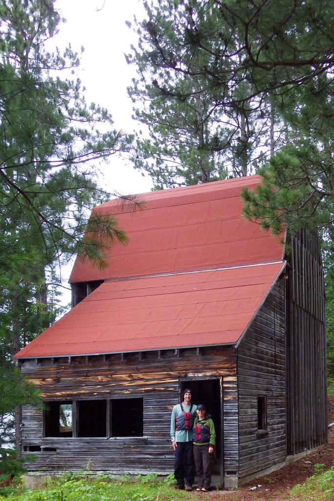
On Namakan Lake, you can explore the remains of Hoist Bay Resort, which was a logging camp before it became a vacation destination. It feels haunted in the evening, exploring the empty ruins while listening to the eerie calls of common loons.
Peak Season
Summer, but be prepared for bugs.
Hours
https://www.nps.gov/voya/planyourvisit/hours.htm
Fees
None, except for camping frees
Road Conditions
The major access roads to NPS visitor centers are paved, plus in the winter there is a designated 7-mile ice road over Rainy Lake.
Camping
There are 214 boat-in campsites available first-come, first-served with a NPS permit (reservations available). There are several campgrounds located on the mainland just outside the park boundaries.
Related Sites
Grand Portage National Monument (Minnesota)
Isle Royale National Park (Michigan)
Apostle Islands National Lakeshore (Wisconsin)


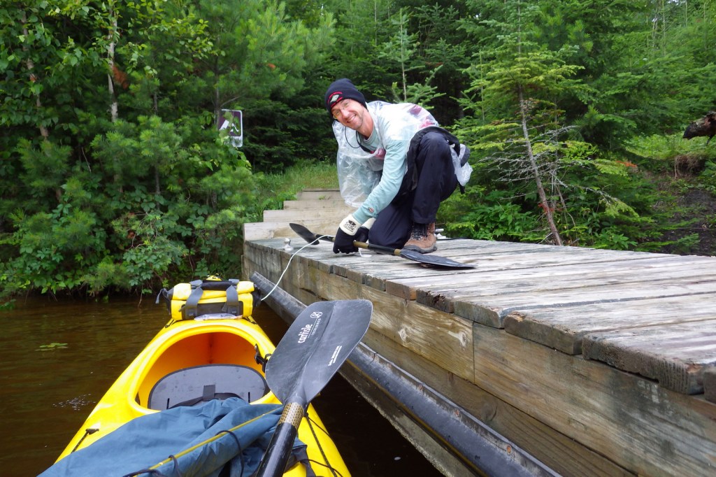
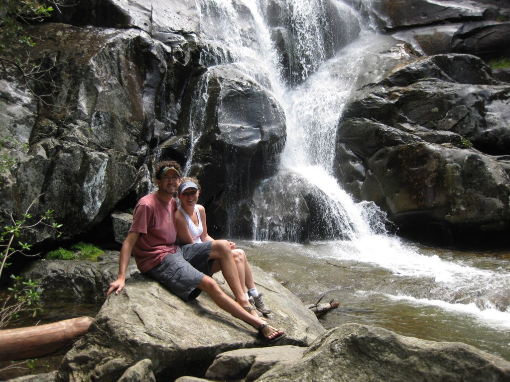
Scott tying up our kayak at our boat-in campsite 

Common loon 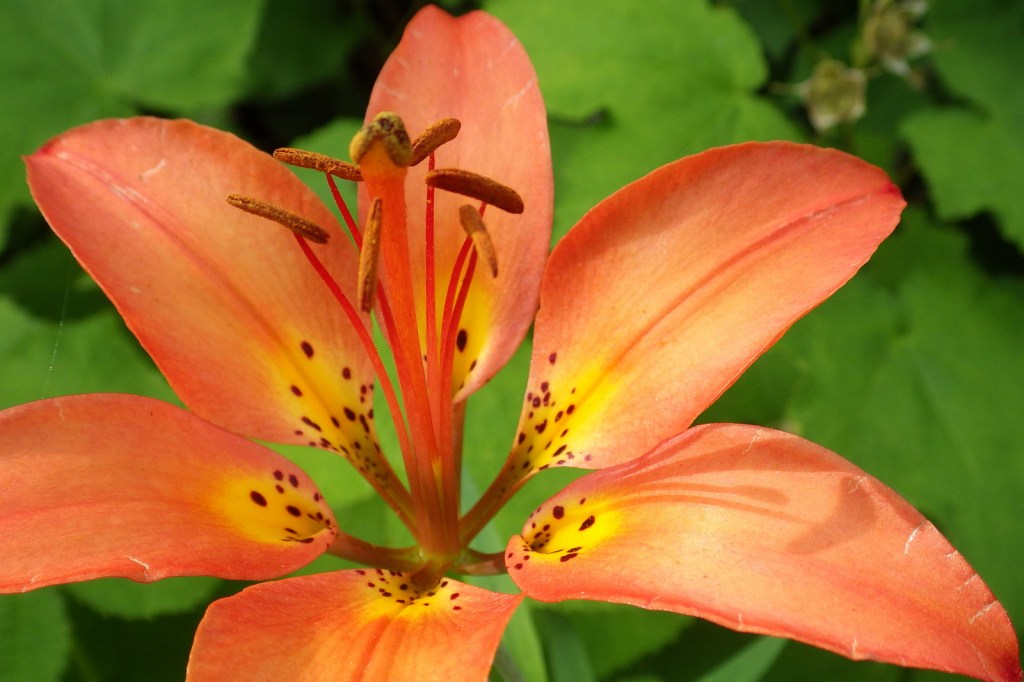
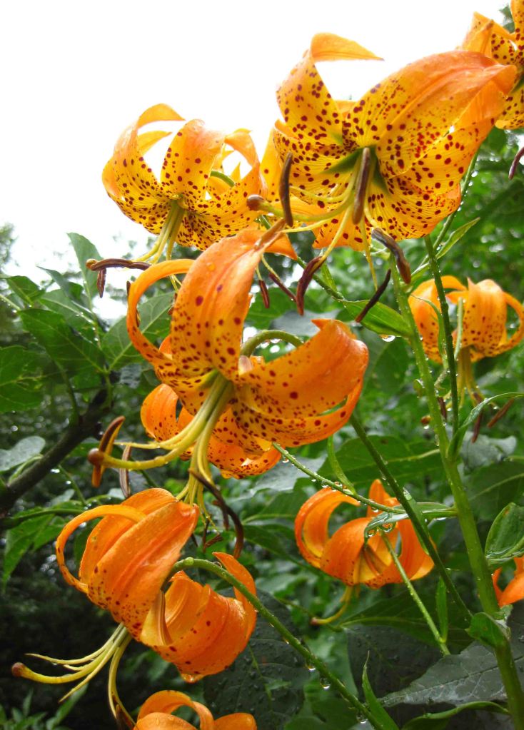
Wood lily 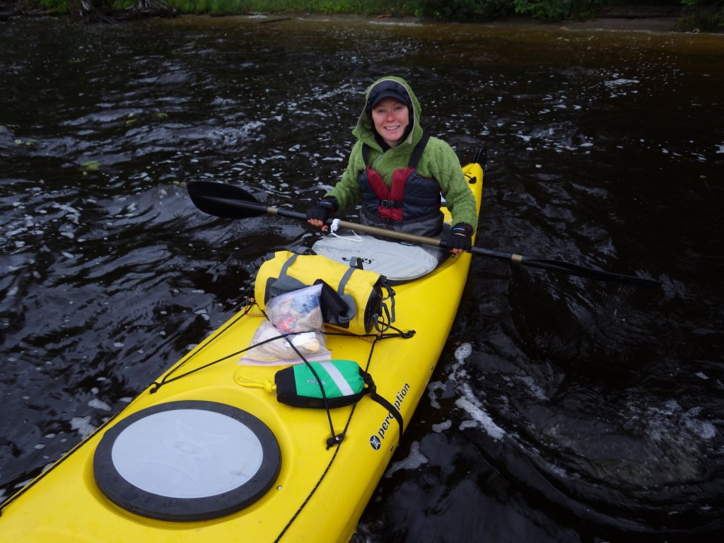


Explore More – When did the Virginia and Rainy Lake Lumber Company operate at Hoist Bay on Namakan Lake?


We are a participant in the Amazon Services LLC Associates Program, an affiliate advertising program designed to provide a means for us to earn fees by linking to Amazon.com and affiliated sites.