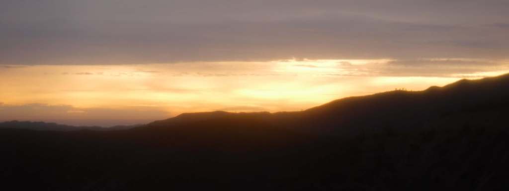
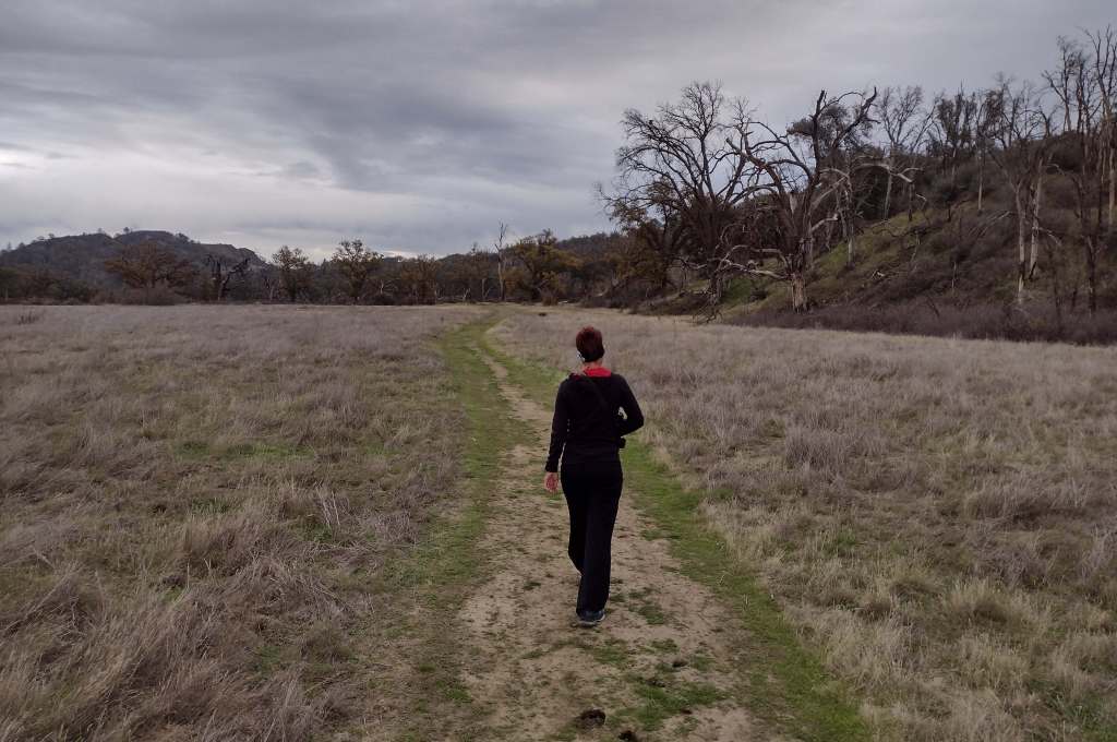
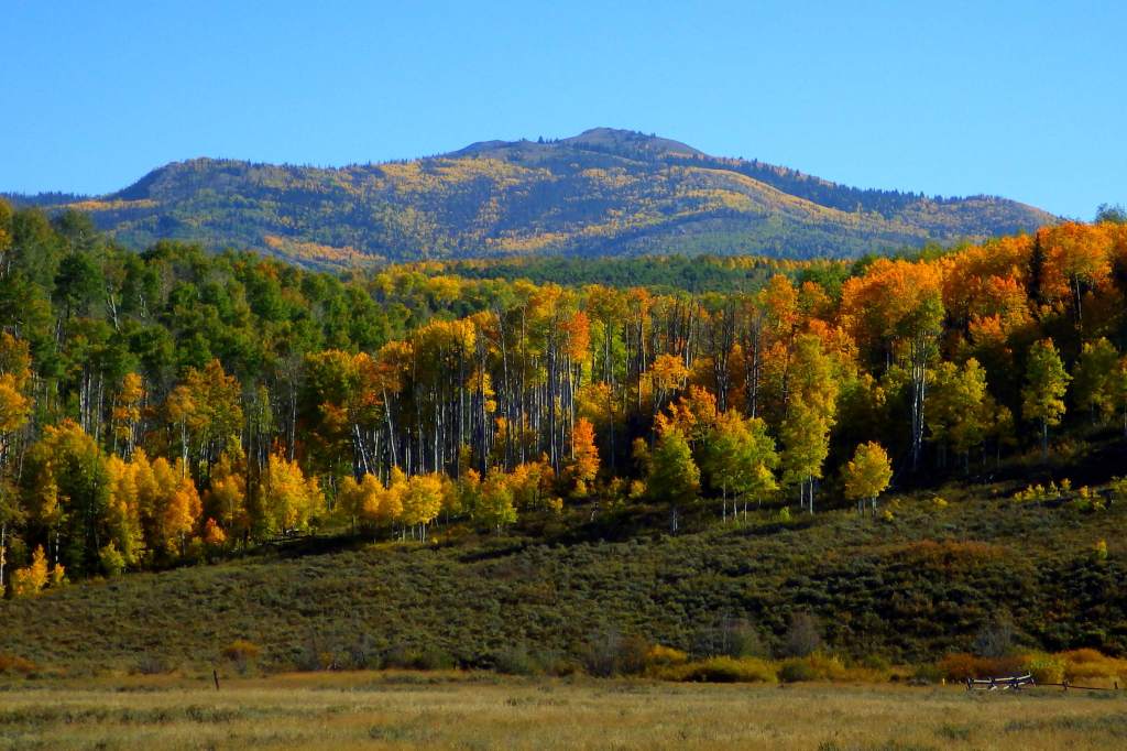
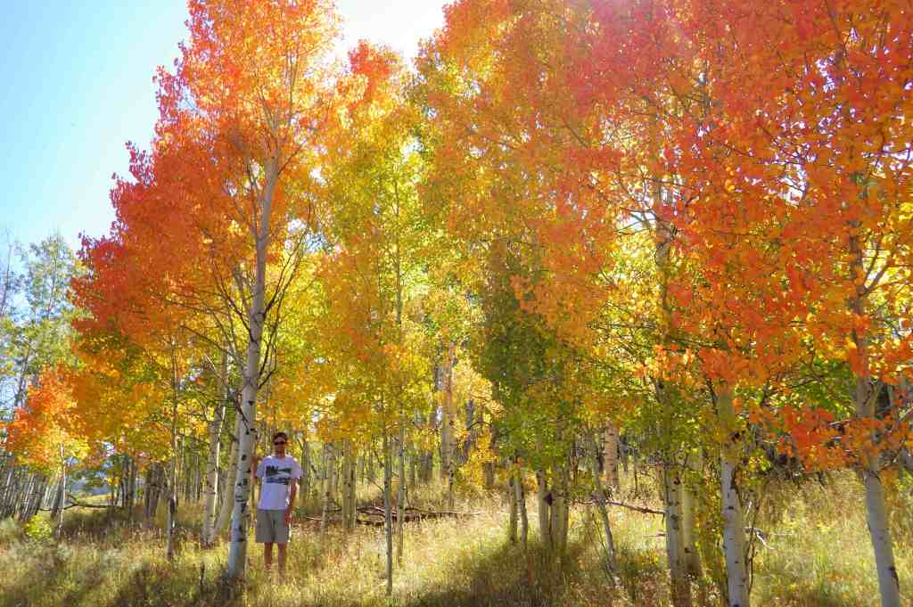
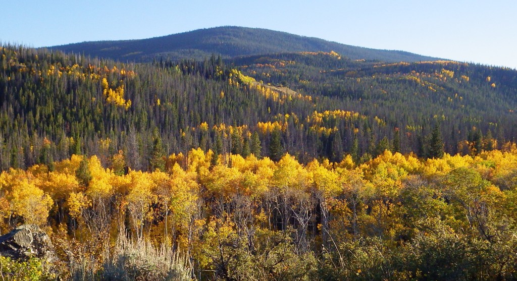
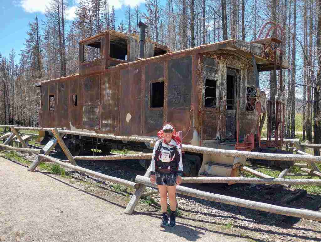
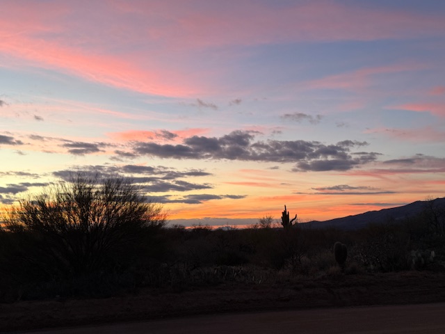
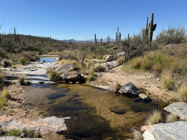
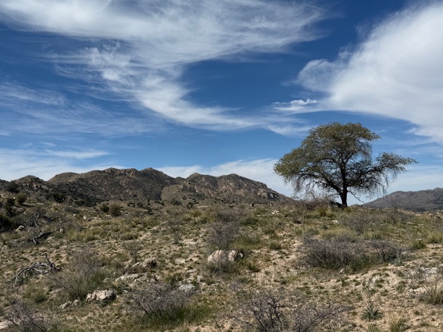
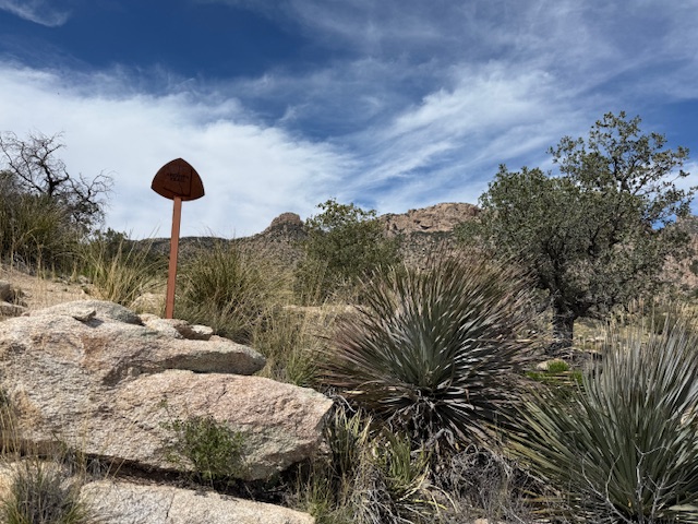
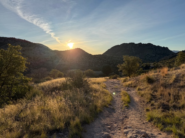
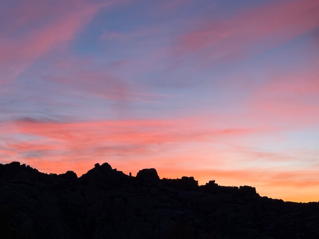
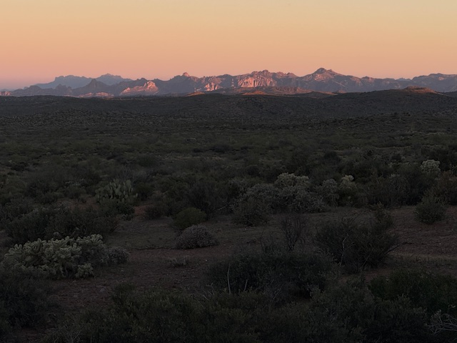
Miles 101 to 265 required big climbs in Saguaro National Park and the Santa Catalina Mountains within Coronado National Forest. Lots of cool Sonoran Desert wildflowers and wildlife along the way, plus some great sunsets on the way to the Gila River. Thursday I am taking a “zero day” off the trail with my family in Chandler and probably going to a Mark Chesnutt concert.
Arizona Trail Day 6, Mile 101 to 101 a “Zero Day” in Tucson with a huge breakfast at Rocking K, one Talenti gelato (for a backup container to cold soak meals), and night in the camper van with my trail angel Mom.
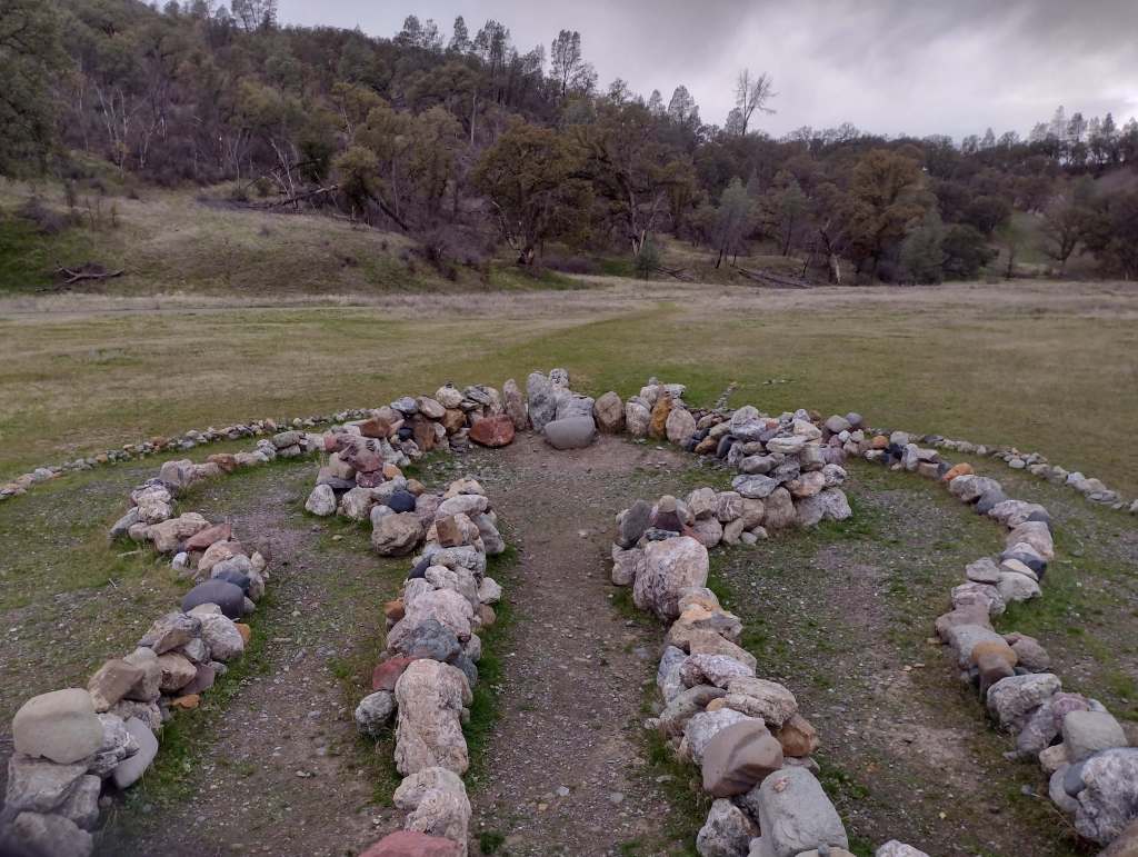
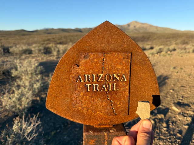
Arizona Trail Day 7, Mile 101 to 126 after my first “zero day” passed under Interstate 10 to the border with Saguaro National Park and saw the first saguaro cacti along the route. I achieved my goal of finding a rock in the shape of Arizona! Enjoyed talking and walking with Ziggy, a Navy veteran. Big thank you to my Mom for meeting up with me in Tucson.
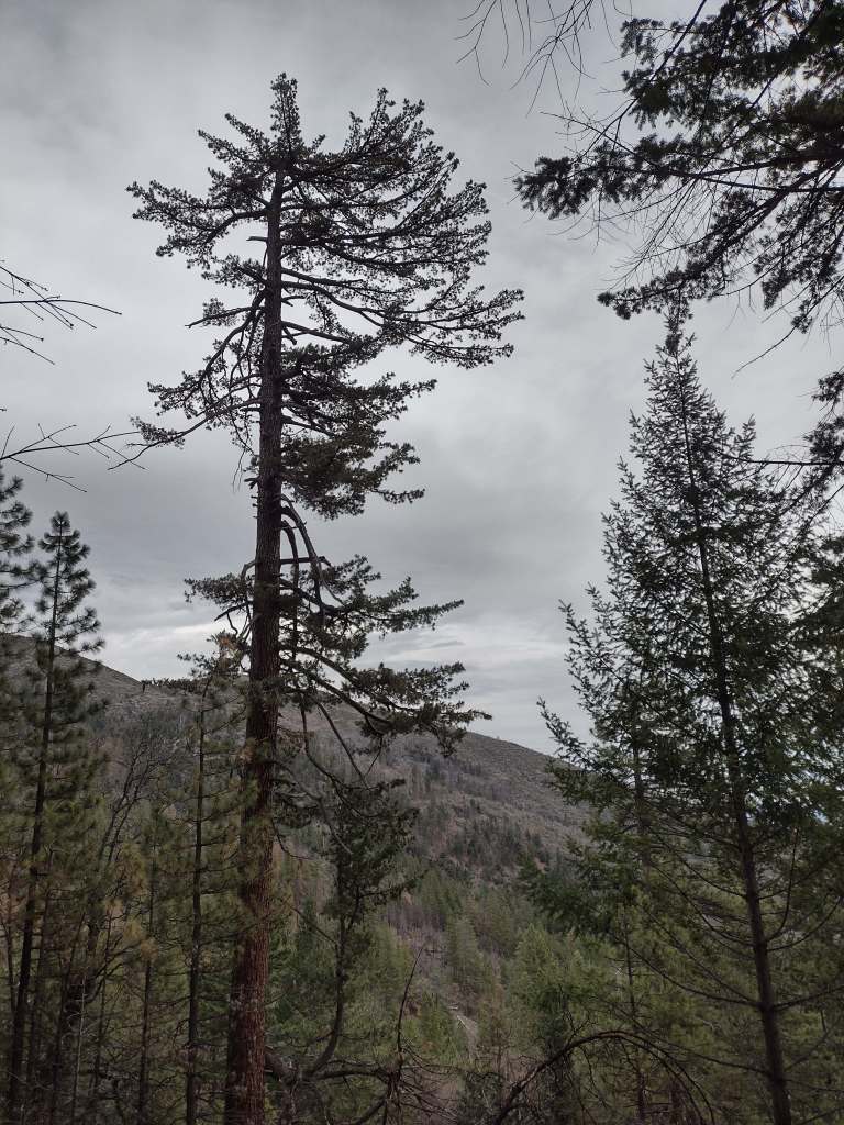
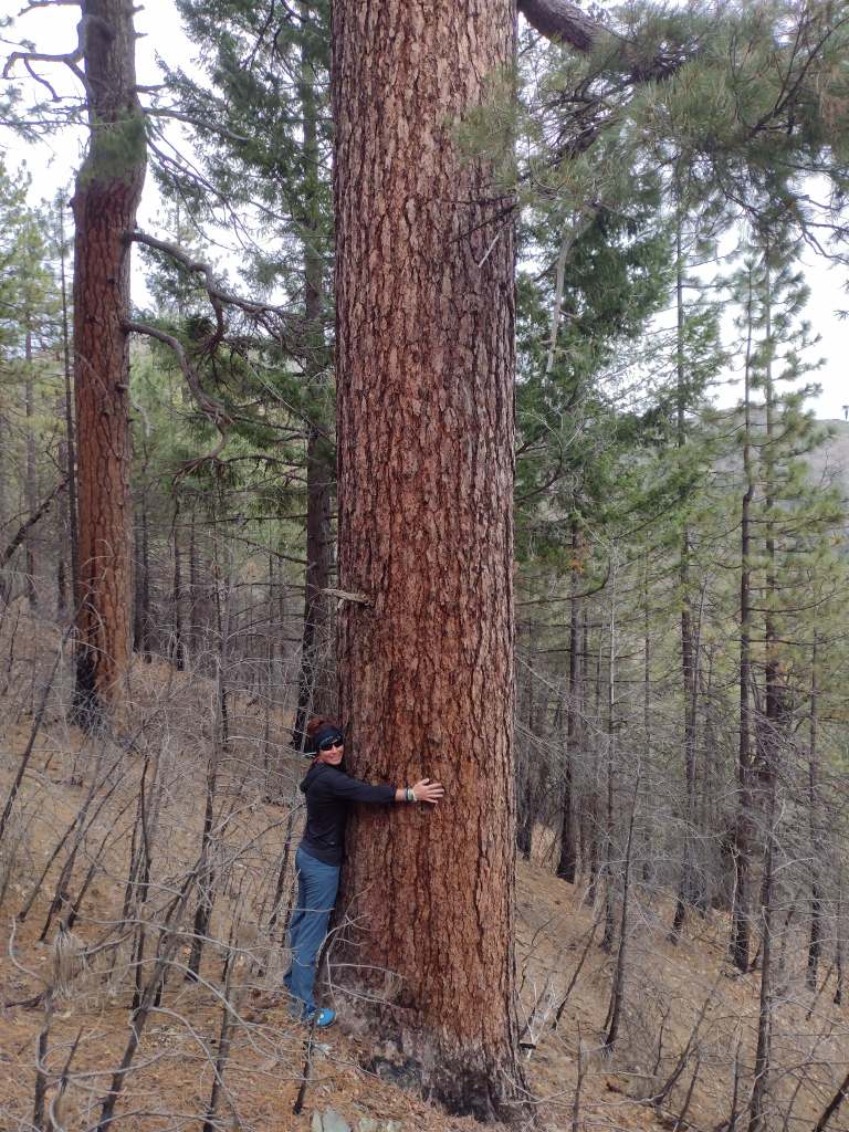
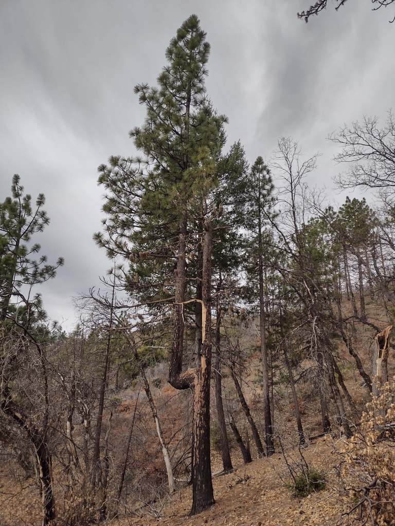
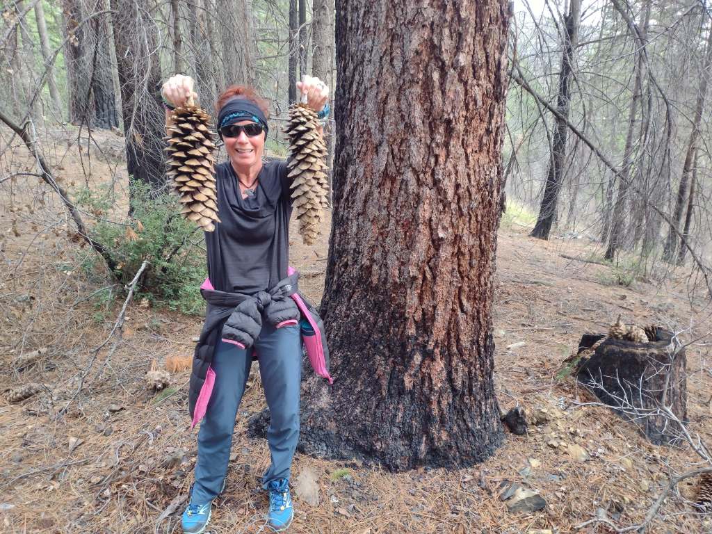
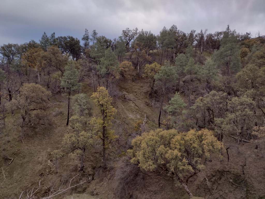
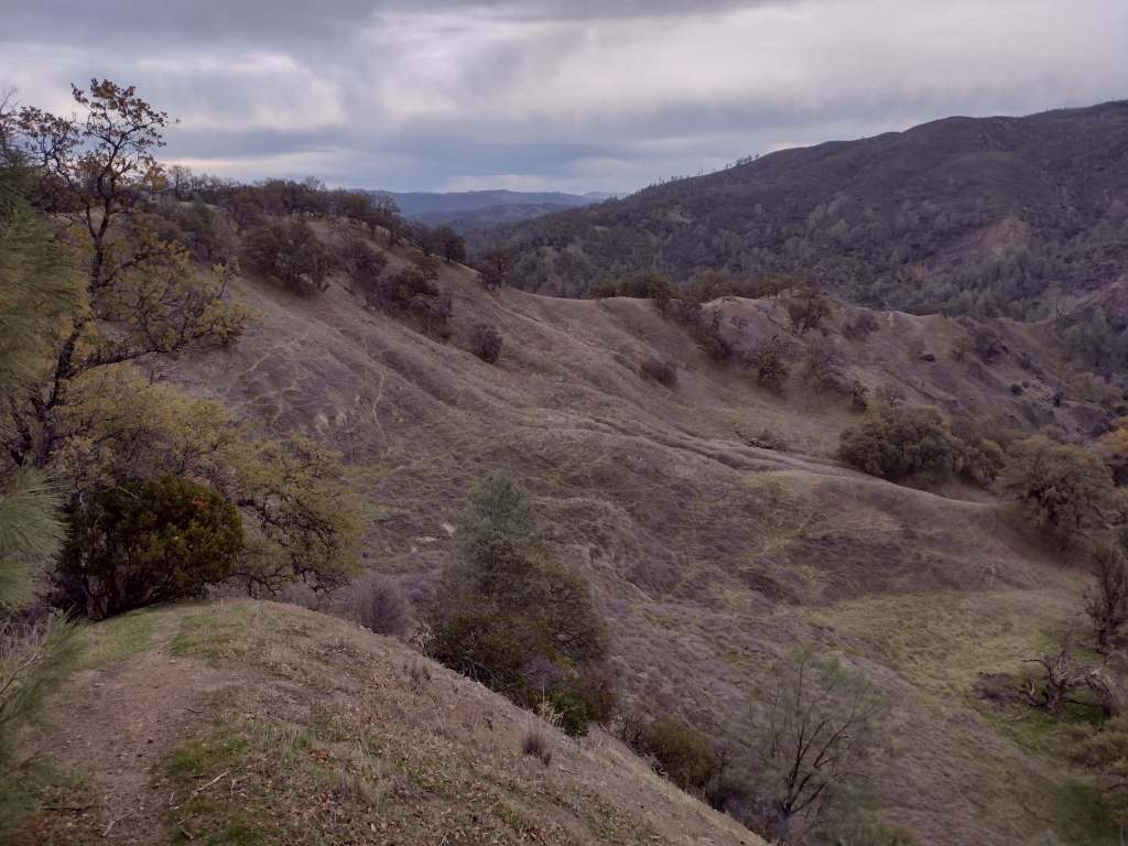
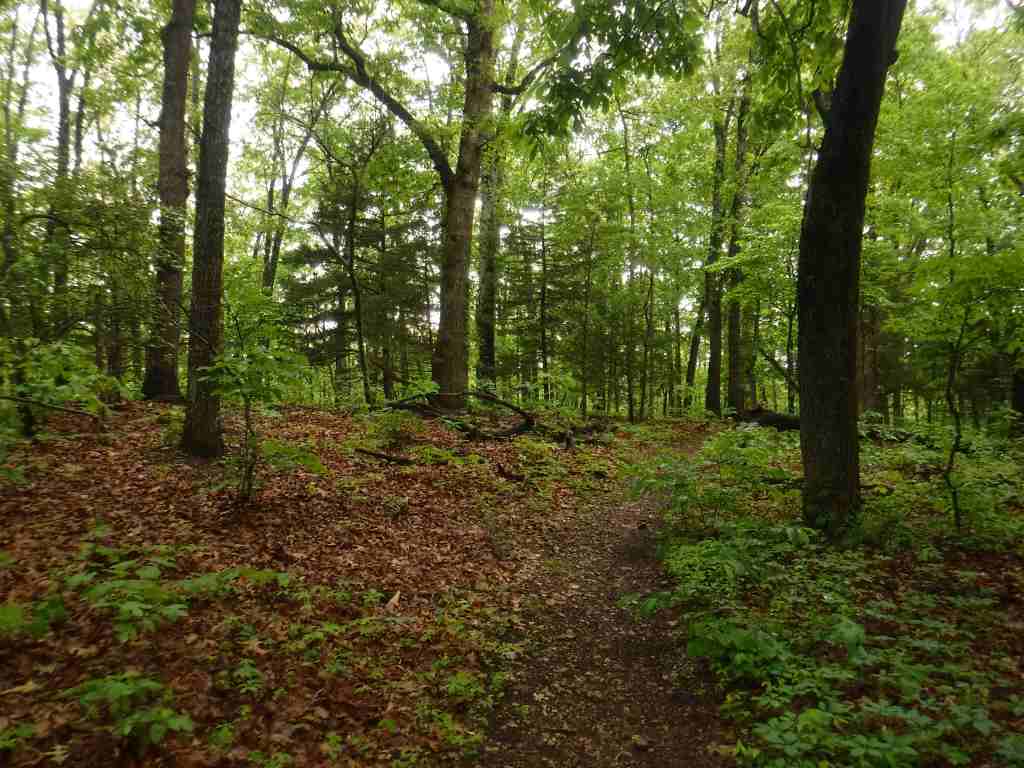
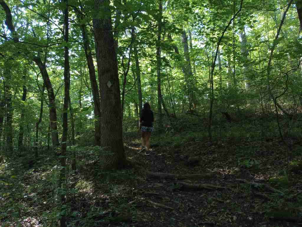
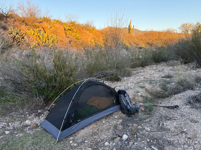
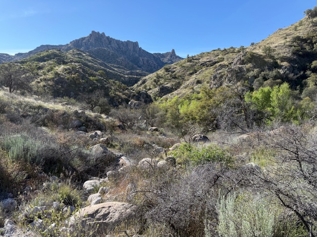
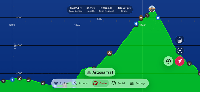
Arizona Trail Day 8, Mile 126 to 144 from spines to pines in Saguaro National Park. Over 6,000 feet cumulative elevation gain in the Rincon Mountains. Camped with and hiked with some fellow NAU Lumberjacks and two young women from Florida.
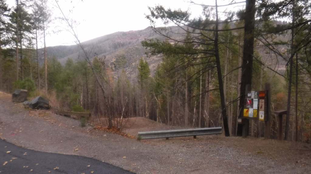
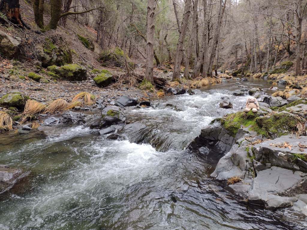
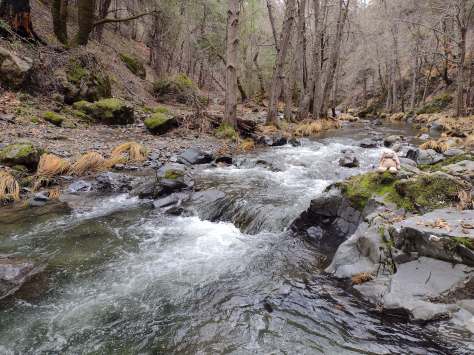
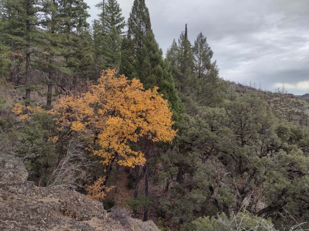
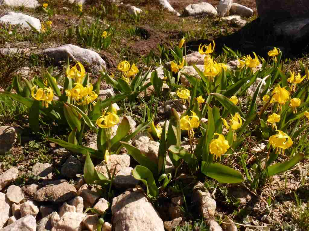
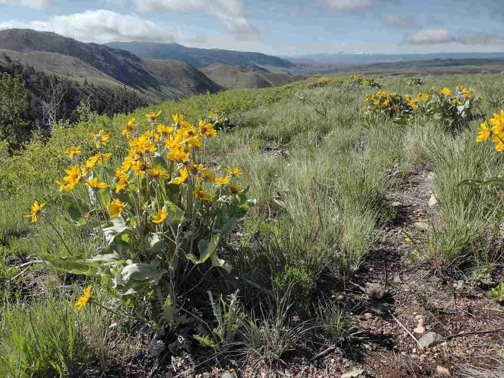
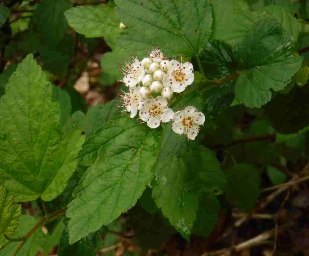
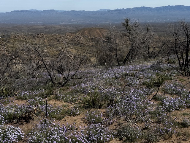
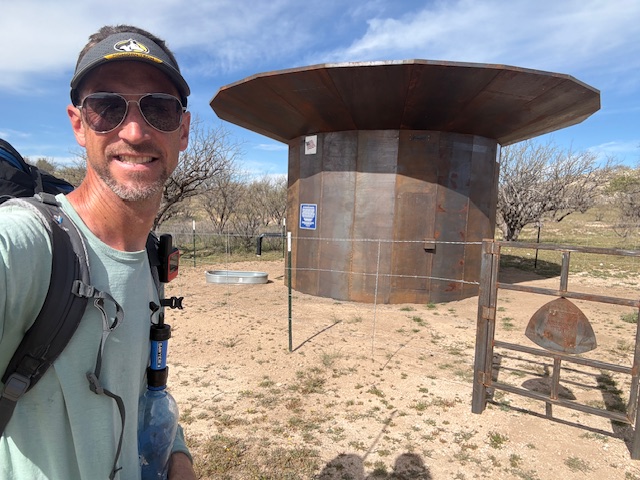
Arizona Trail Day 9, Mile 144 to 164 out of the Rincon Mountains to the Catalina Highway. Lots of wildflowers in bloom! I met Trail Angel Gabriel who I helped to fill up a water cache with 48 gallons. Thanks to all the trail angels out there.
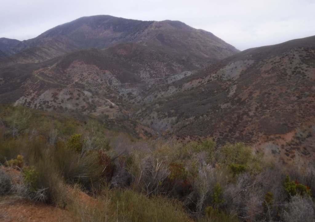
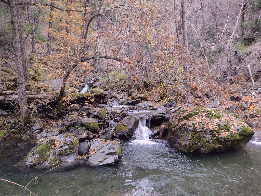
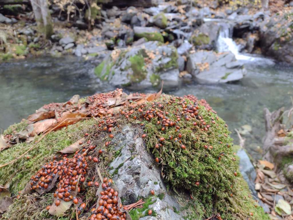
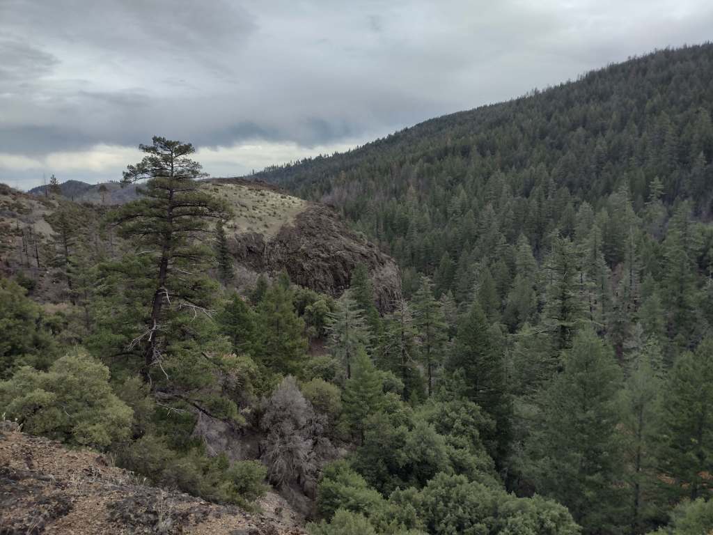
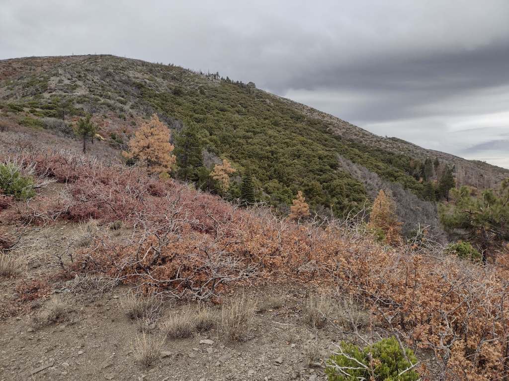
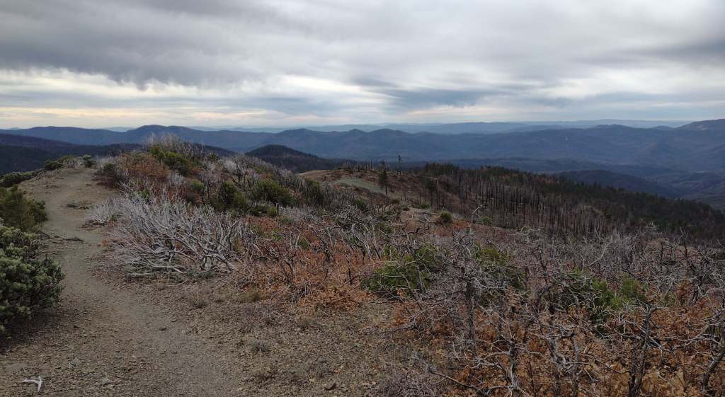
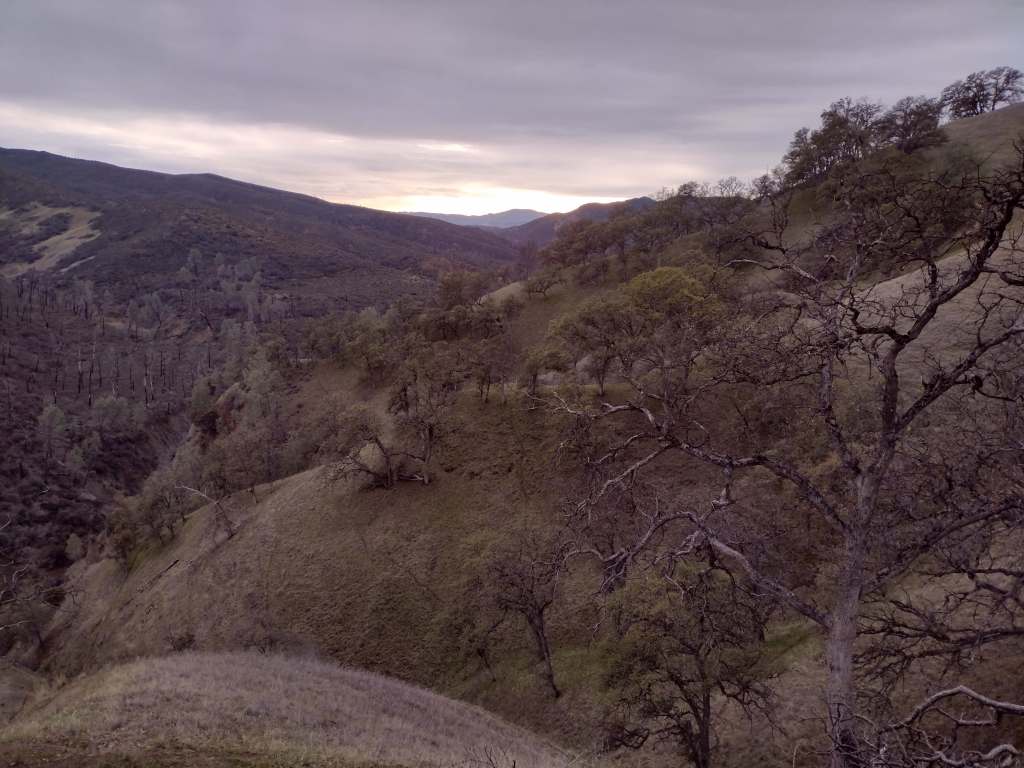
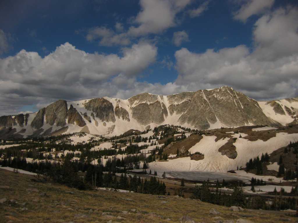
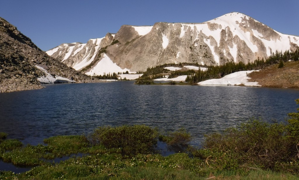
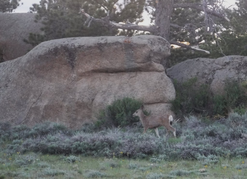
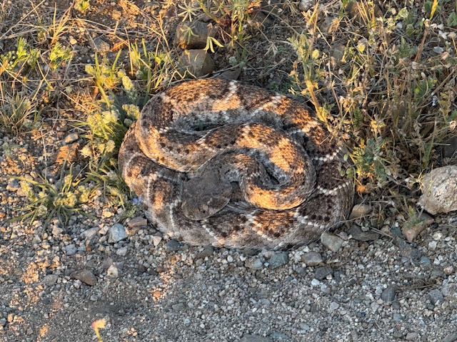
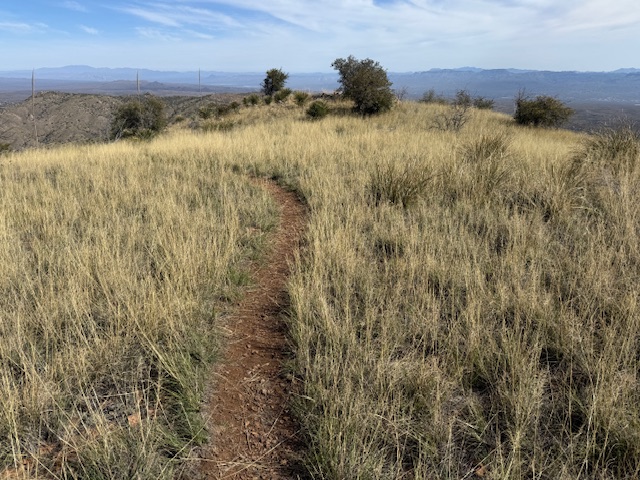
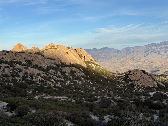
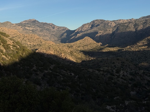
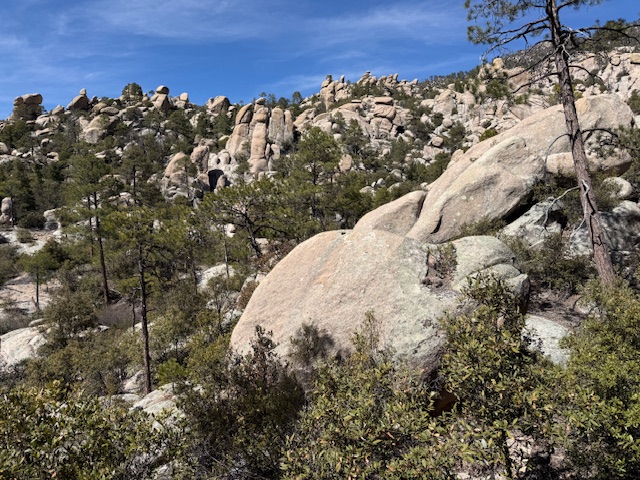
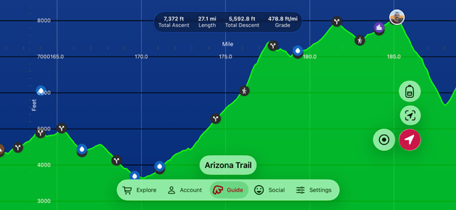
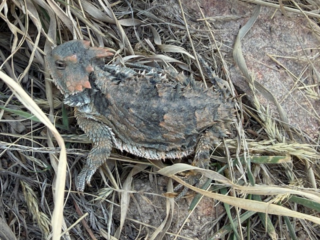
Arizona Trail Day 10, Mile 164 to 187 up Mt. Lemmon in Coronado National Forest. Another great memory made in the Santa Catalina Mountains and my first horned lizard of the trip was seen above 8,000 feet in elevation. Thanks to my Mom for meeting me at the top with my big backpack. I was told by one AZT finisher that this is the “classic Lemmon cheat.” I’ll take any help I can get.
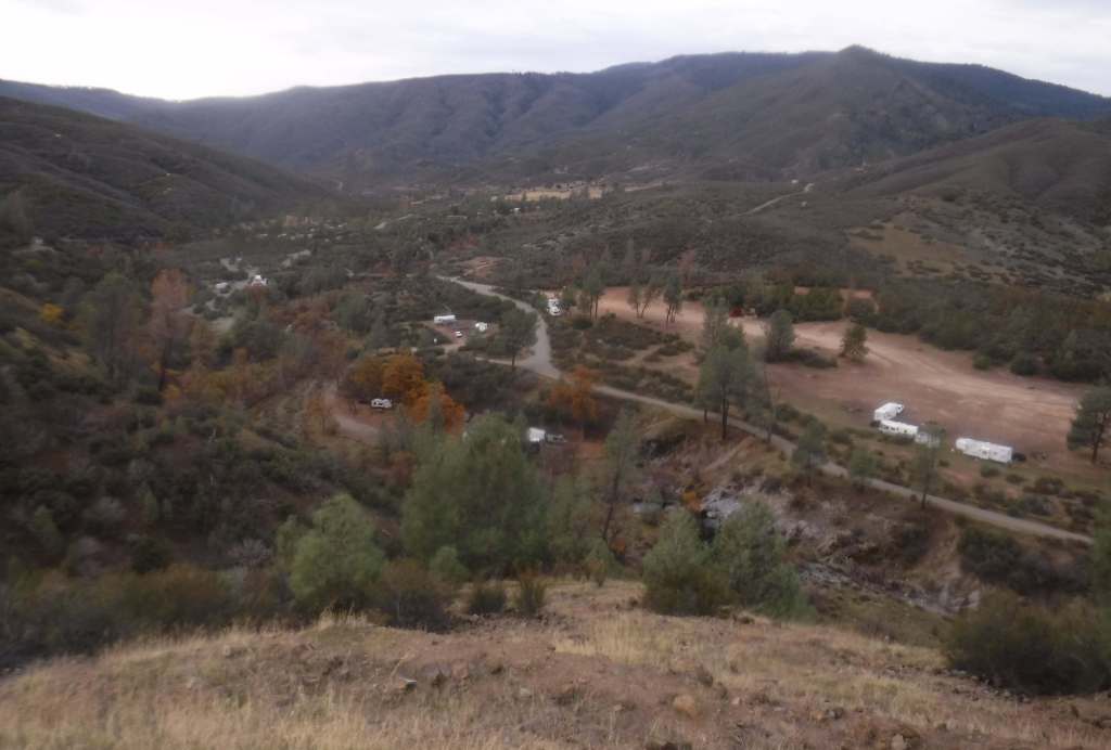
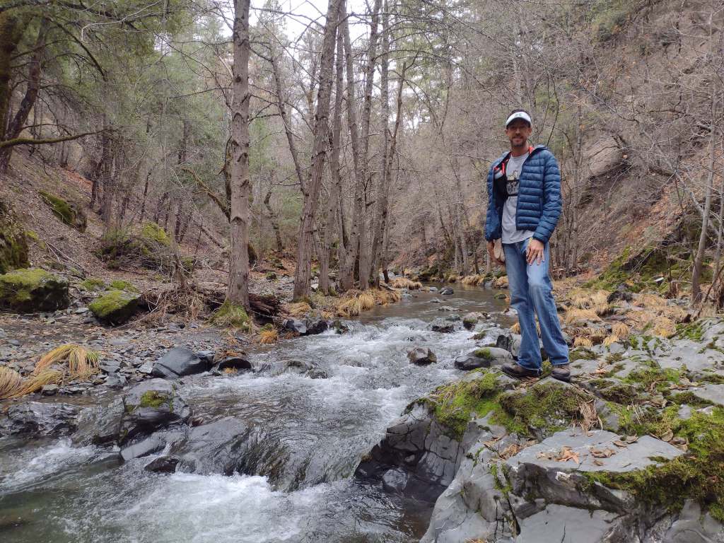
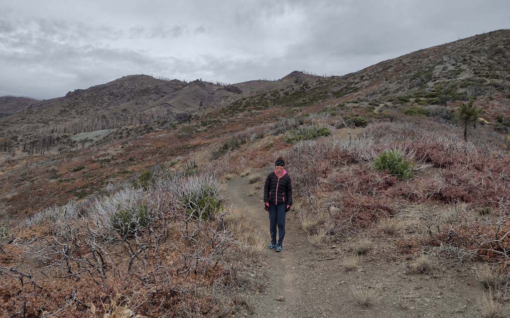
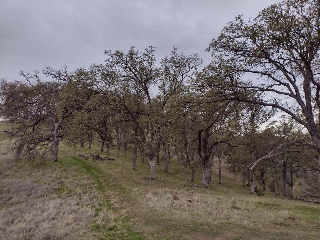
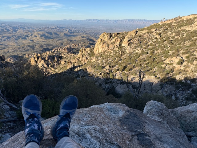
Arizona Trail Day 11, Mile 187 to 215 down the west side of the Santa Catalina Mountains, a cumulative drop of around 8,000 feet. I had two wonderful trail angels meet me in Oracle for lunch. Thanks everyone for your support in this endeavor! Sunrise to sunset was 12:01 so now unofficially past the equinox. Yay!
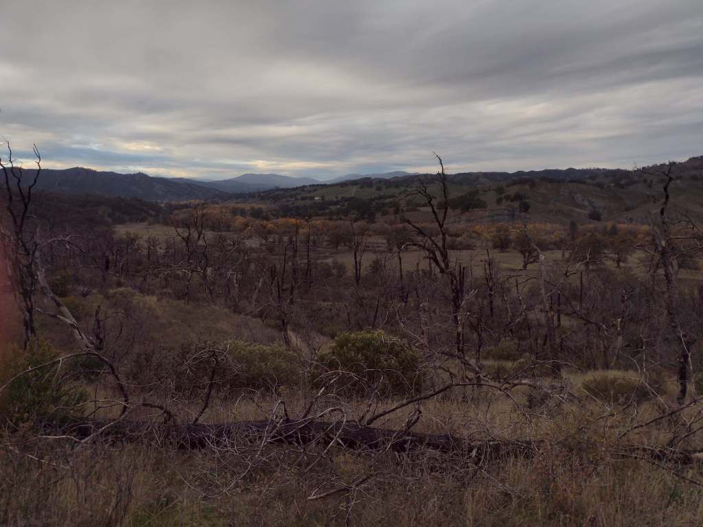
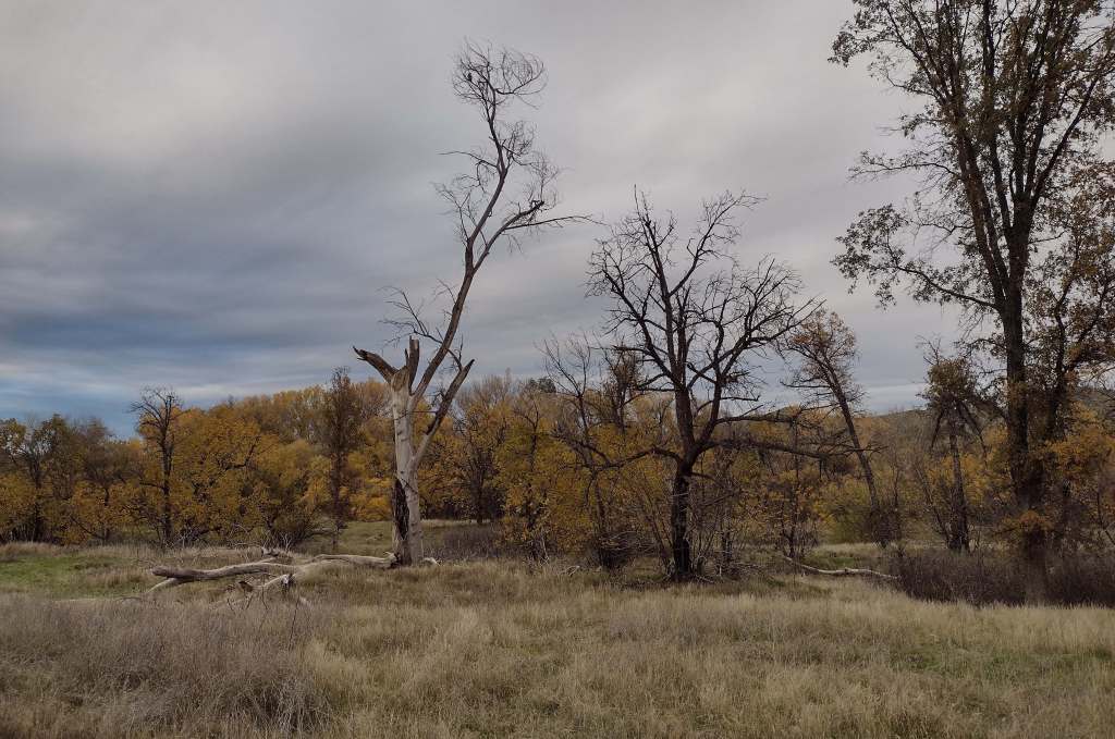
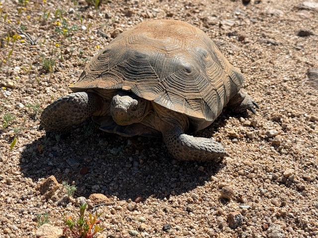
Arizona Trail Day 12, Mile 215 to 245 past Antelope Peak in the Sonoran Desert. I saw my first wild desert tortoise in my life! I hiked a while with Martin and Mama Goose who were great to talk to. I avoided the heat of the day and went to the movie Hoppers in Oro Valley with my Mom, then did 8.5 miles after sunset.
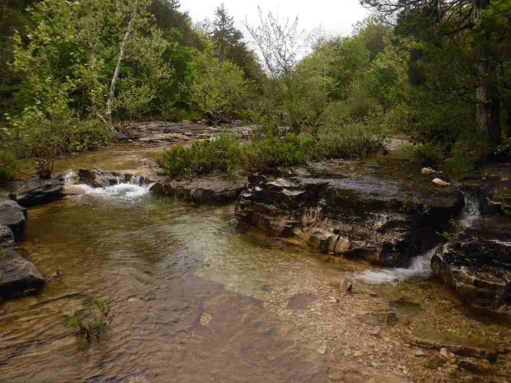
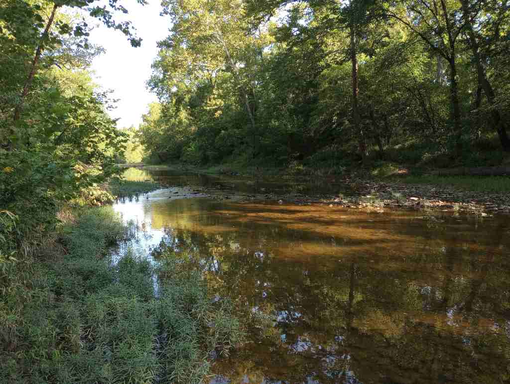
Arizona Trail Day 13, Mile 245 to 265 down to the Kelvin Bridge across the Gila River. Starting in the dark, I was able to finish before noon for a pickup from my parents. With temperatures 28 degrees above average for the next few days, I’ve decided to head home to Pine to cover some higher elevation miles on the AZT then come back when it cools down.
You can keep track of where I am at on the Garmin website through this link: https://live.garmin.com/ScottSink
I will also be updating my Instagram account with photos when I have signal: https://www.instagram.com/ravenabouttheparks/


Know someone who loves National Parks? Gift them my travel guide A Park to Yourself: Finding Solitude in America’s 63 National Parks.