Tag Archives: West Virginia

George Washington National Forest

George Washington National Forest

Virginia, West Virginia

Managed by U.S. Forest Service, Southern Region

1,795,084 acres (1,065,369 federal/ 729,715 other)

Website: https://www.fs.usda.gov/gwj

Overview

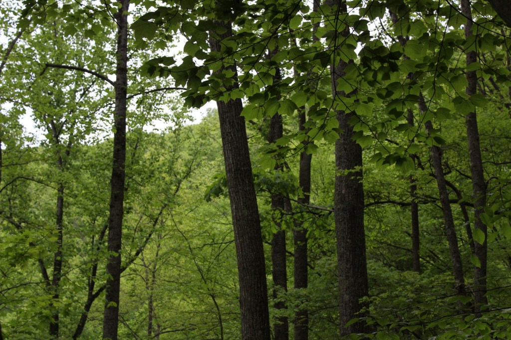
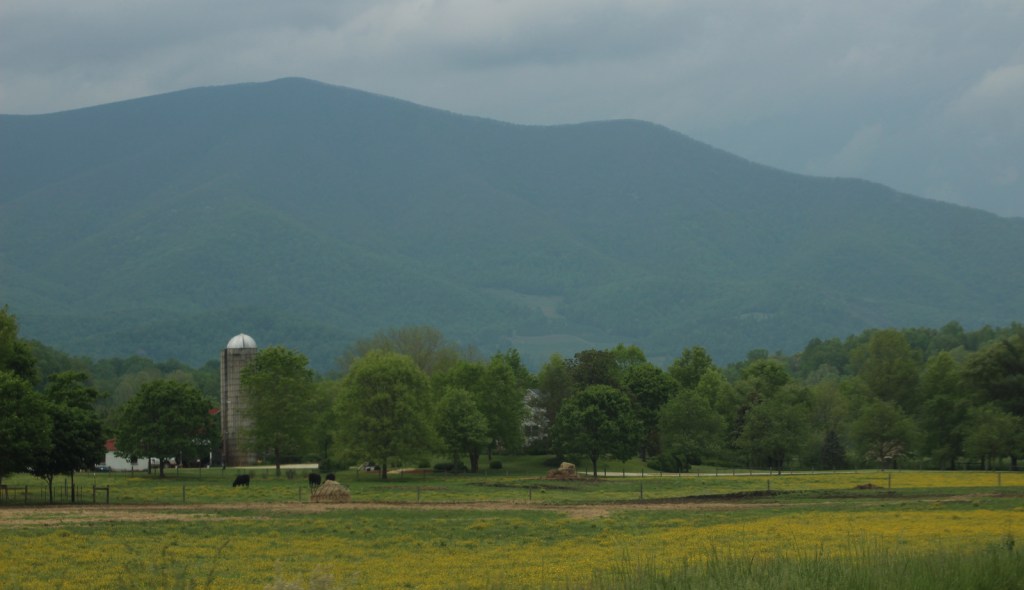
First established as the Shenandoah National Forest in 1918, George Washington National Forest covers portions of the Blue Ridge and Allegheny Mountains.  It includes the northern 60 miles of the Blue Ridge Parkway and a significant stretch of the Appalachian National Scenic Trail south of Shenandoah National Park.  The National Forest’s proximity to Washington, D.C. and Baltimore makes it a major recreation destination, particularly for trail runners.  It is now co-managed with the more western Jefferson National Forest, together encompassing 230,000 acres of old-growth forests, 139,461 acres of Wilderness areas, and more than 2,000 miles of trails.

Highlights

Mt. Pleasant National Scenic Area, Big Walker Mountain Scenic Byway, Highland Scenic Tour, Massanutten Visitor Center, Sherando Lake, White Rock Creek Falls, Lake Moomaw, Woodstock Tower, Upper Shamokin Falls, Slacks Overlook, High Knob Fire Tower, Maple Flats, Bird Knob Loop Trail, Lion’s Tale National Recreation Trail, Waterfall Mountain Loop Trail, McDowell Battlefield Trail, Big Schloss Trail, Crabtree Falls Observation Trail, Story Book Trail, Pig Iron Loop Trail, Dragons Tooth Trail, Appalachian National Scenic Trail

Must-Do Activity

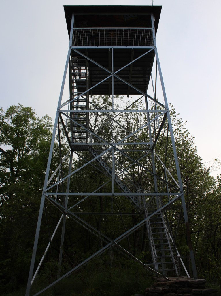
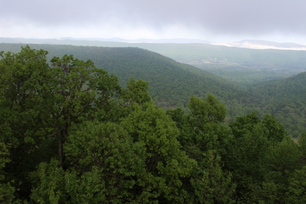
Driving the Blue Ridge Parkway through George Washington National Forest is a must-do, but there are other attractions to be found in this ridgeline-running forest.  Not far east off Interstate 81, it is a short drive up a gravel road to Woodstock Lookout Tower, where a short, flat trail accesses the metal structure that provides views of the Seven Bends of the Shenandoah River.  Downhill on the eastern side of that ridge (and protected from freeway noise) is the free Little Fort Campground with nine campsites.  There is a charge to ride the Peters Mill Gap and Taskers Run ATV/OHV trails (covering 40 miles) that leave from the campground.  A one-mile hiking trail leaves from Campsite 8 and climbs up to Woodstock Tower.

Best Trail

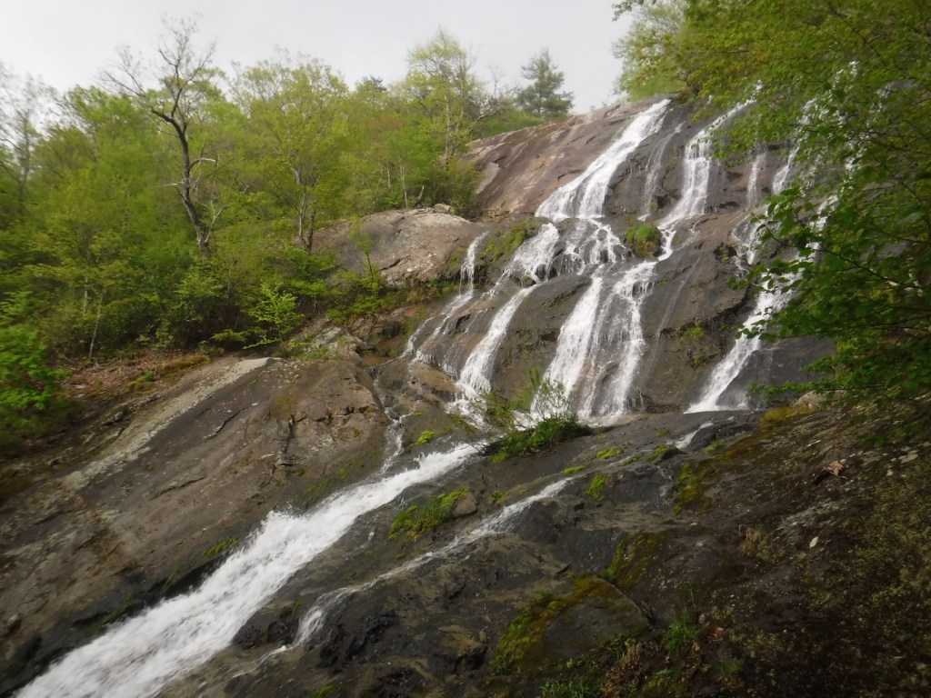
Crabtree Falls Observation Trail (day use fee) is easy to access from paved State Route 56 east of the Blue Ridge Parkway.  There are actually five waterfalls here with a total drop of 1,200 feet spread over a half-mile.  The first overlook of the lower falls is only 500 feet from the parking lot and is handicap accessible.  From there, the trail switchbacks up 1.7 miles one-way to a fourth and final view of the falls, then continues on another two miles to the Appalachian National Scenic Trail after gaining more than 1,000 feet in elevation. 

Watchable Wildlife

Extensive sections of old-growth forest can be found in Mt. Pleasant National Scenic Area and much of the Rich Hole and Ramsey’s Draft Wildernesses.  This provides habitat for a healthy population of black bears, as well as white-tailed deer, bobcats, raccoons, river otters, martens, and weasels.  Large birds found in George Washington National Forest include wild turkeys, turkey vultures, bald eagles, peregrine falcons, and several types of hawks.  Wetlands, like Maple Flats, are home to cricket frogs, painted turtles, spotted turtles, and many species of salamanders, such as marbled, Cow Knob, Cheat Mountain, Shenandoah, and tiger salamanders.  Over 100 species of freshwater fish reside here, and fishing is popular activity in the Jackson River and 152-foot-deep Lake Moomaw.

Instagram-worthy Photo

With five major cascades dropping 1,200 feet in total, there are plenty of places to catch your breath and snap some photographs along the steep Crabtree Falls Observation Trail.

Peak Season

Spring and fall

Fees

There is a day use fee for hiking Crabtree Falls Observation Trail and riding the Peters Mill Gap and Taskers Run ATV/OHV trails. 

Road Conditions

Parking at Crabtree Falls is paved and RV accessible, and the one unpaved road we took to Woodstock Tower and Little Fort Campground was in good shape.

Camping

There are many designated campgrounds found throughout George Washington National Forest, including the free, nine-site Little Fort Campground not far east off Interstate 81 (see Must-Do Activity).  Although dispersed camping can be hard to find, we read there are sites on the four-wheel-drive road (SR 826) at the top of Crabtree Falls Observation Trail near where it meets the Appalachian National Scenic Trail. 

Wilderness Areas

Barbours Creek Wilderness (also in Jefferson National Forest)

Priest Wilderness

Ramsey’s Draft Wilderness

Rich Hole Wilderness

Rough Mountain Wilderness

Saint Mary’s Wilderness

Shawvers Run Wilderness (also in Jefferson National Forest)

Three Ridges Wilderness

Related Sites

Booker T. Washington National Monument (Virginia)

Cedar Creek and Belle Grove National Historical Park (Virginia)

Jefferson National Forest (Virginia, West Virginia, Kentucky)

Daniel Boone National Forest (Kentucky)

Nearest National Park
Shenandoah

Conifer Tree Species

eastern hemlock, eastern white pine, shortleaf pine, Table Mountain pine, red spruce, eastern redcedar

Flowering Tree Species

tulip-poplar, American beech, shagbark hickory, white oak, black oak, northern red oak, rock chestnut oak, pin oak, yellow birch, gray birch, sweet birch, striped maple, red maple, black gum, sassafras, basswood, flowering dogwood, sourwood, cucumber magnolia, mountain laurel, quaking aspen, paper birch, witch hazel, dwarf willow, winterberry, rhododendron

Explore More – In 1972, what company sponsored the planting of the National Children’s Forest in a burned-out area east of Jordan Mines?

Learn more about this and the 154 other National Forests in our new guidebook Out in the Woods

We are a participant in the Amazon Services LLC Associates Program, an affiliate advertising program designed to provide a means for us to earn fees by linking to Amazon.com and affiliated sites.
Chesapeake and Ohio Canal National Historical Park

Overview

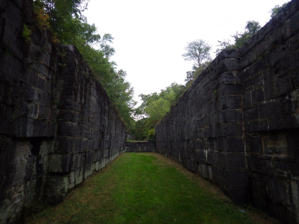
The Chesapeake and Ohio (C&O) Canal was supposed to connect ports in Washington, D.C. with the Ohio River, but it never reached its destination before the Baltimore and Ohio (B&O) Railroad rendered it obsolete in 1850.  It employed 35,000 laborers (mostly European immigrants) during its 22 years of construction and eventually carried coal out of the Appalachian Mountains for decades.  The canal closed in 1924, but it left behind indelible historic landmarks like locks, dams, aqueducts, historic hotels, and a 3,118-foot long tunnel.

Highlights

Historic locks, boat tours, Great Falls Tavern, boating

Must-Do Activity

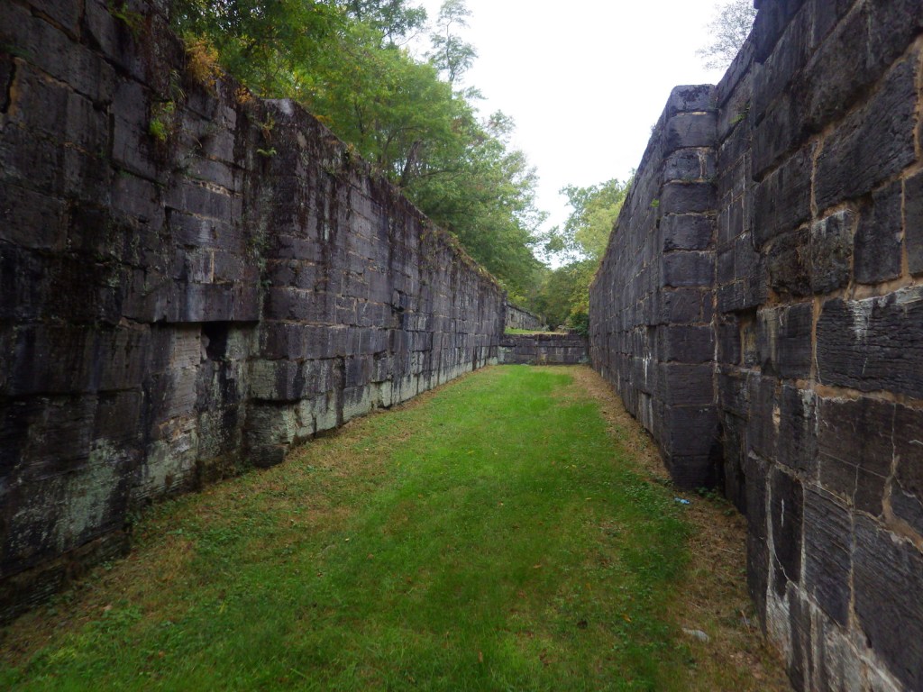
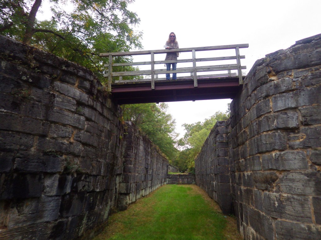
C&O Canal National Historical Park is run by the National Park Service (NPS) and offers multiple free visitor centers along the route that are open seasonally.  Near Washington, D.C. both the Great Falls Tavern and Georgetown Visitor Centers offer mule-drawn canal boat rides on a first-come, first-served basis April through October.  We enjoyed touring the historic locks of the canal in Hancock, Maryland after visiting Catoctin Mountain Park and Antietam National Battlefield.

Best Trail

Today you can walk and bike the graded 184.5-mile towpath that follows the Potomac River, camping at designated sites along the way if you choose.

Instagram-worthy Photo

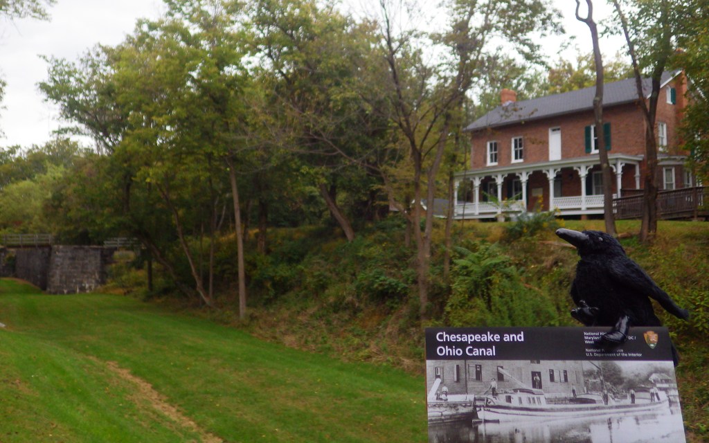
The canal locks at Hancock, Maryland became part of the park that was created in 1971.  The boarding house located there now serves as an NPS visitor center.

Peak Season

Summer, as most of the visitor centers are closed seasonally

Hours

https://www.nps.gov/choh/planyourvisit/hours.htm

Fees

None, except at Great Falls Tavern

Road Conditions

All roads paved

Camping

There are primitive drive-in camping areas at five spots along the canal path, as well as 30 backpacking campsites spaced approximately five miles apart.  There is also a nice NPS campground at Catoctin Mountain Park in Maryland.

Related Sites

George Washington Memorial Parkway (Virginia-Maryland)

Harpers Ferry National Historical Park (West Virginia-Maryland-Virginia)

Allegheny Portage Railroad National Historic Site (Pennsylvania)

Explore More – At its peak of operation, how many mule-drawn boats were in service on the C&O Canal?

Harpers Ferry National Historical Park

Overview

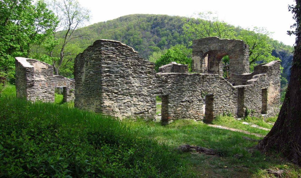
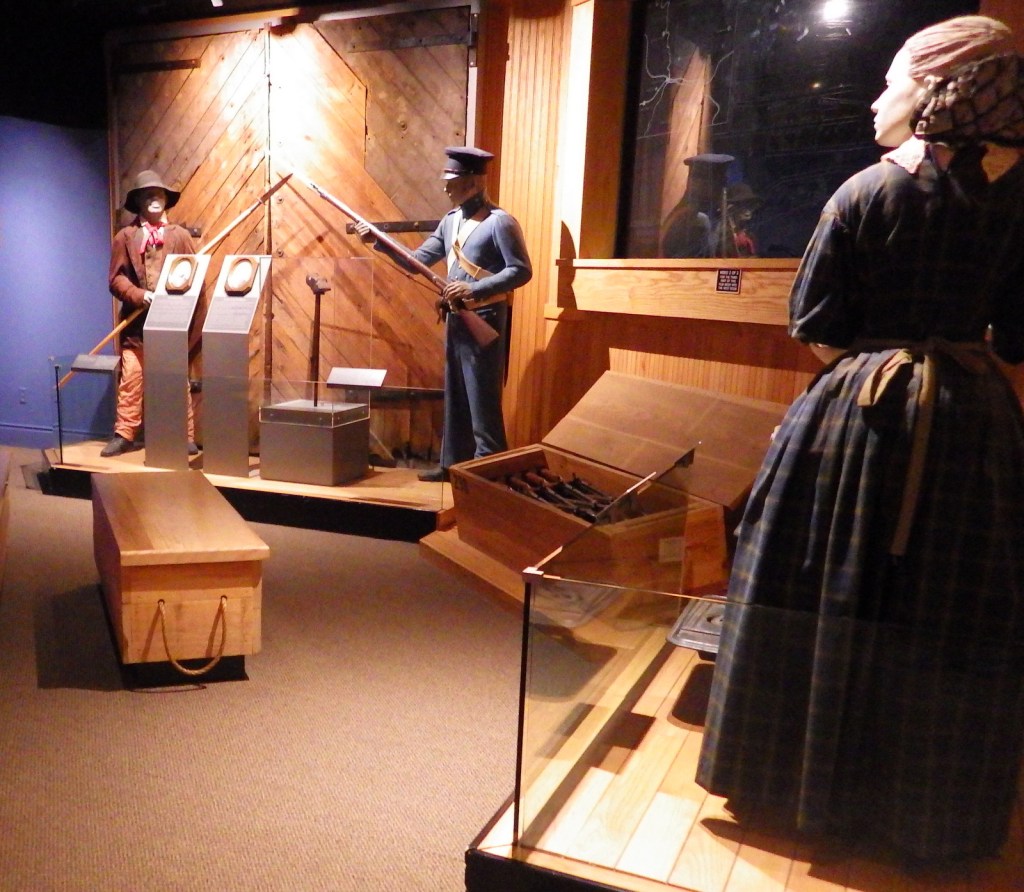
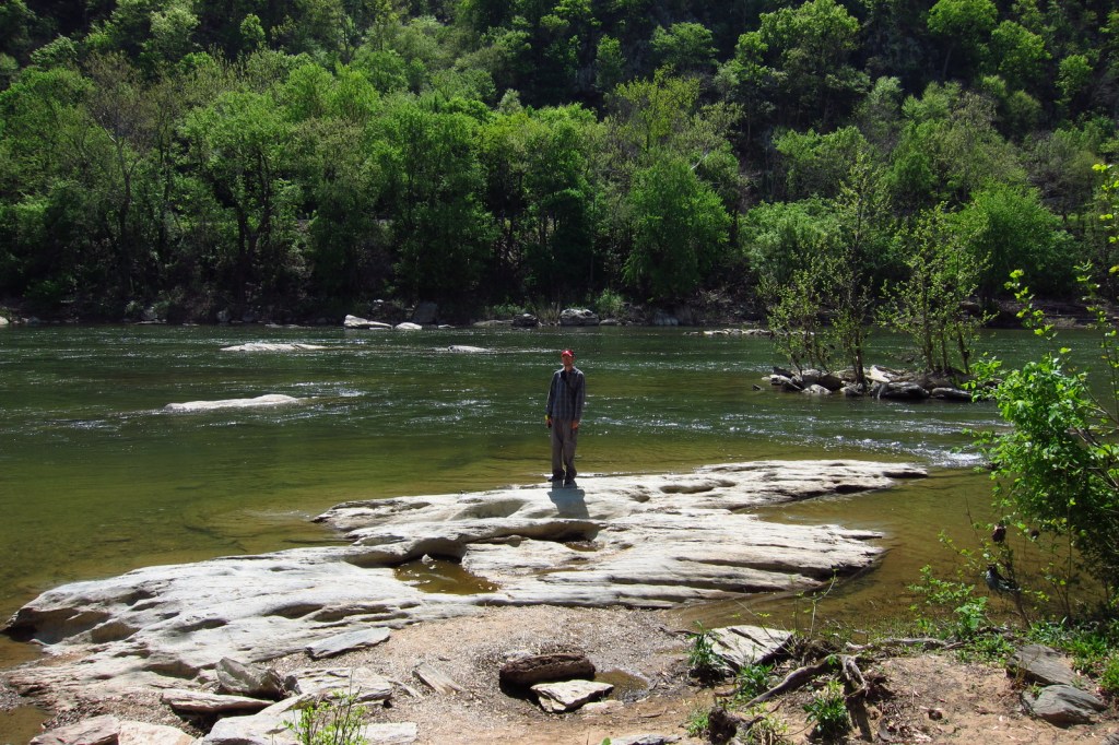
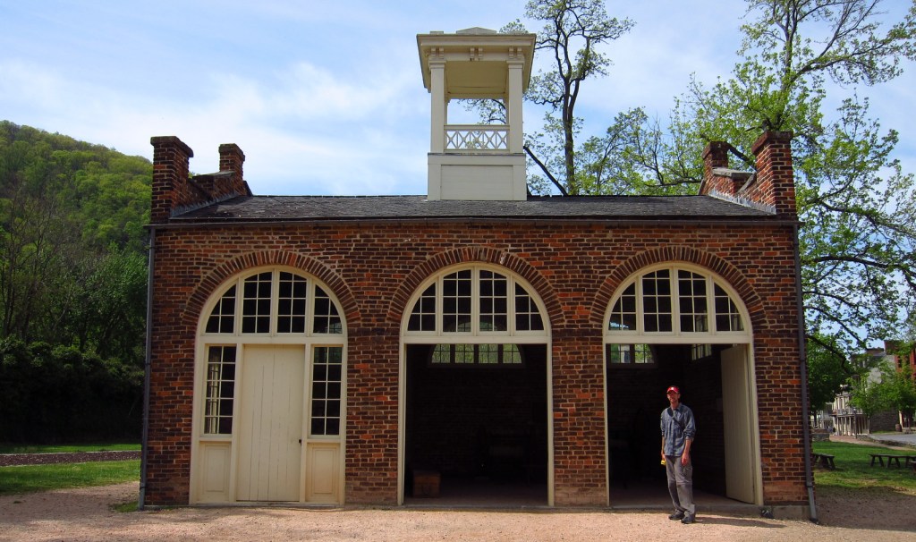
Robert Harper started ferrying folks across the Potomac River at this site in 1747.  It had a strategic location at the confluence of the Shenandoah and Potomac Rivers where the point of what is now the state of West Virginia meets the border of Maryland and Virginia.  Harpers Ferry is most famous for the 1859 raid led by abolitionist John Brown of Kansas in attempt to seize the federal armory to incite a slave rebellion.  His trial and execution for treason helped foment the Civil War, during which conflict the town changed hands between the two sides an astounding eight times!

Highlights

Historic buildings, museums, Jefferson Rock, Appalachian National Scenic Trail

Must-Do Activity

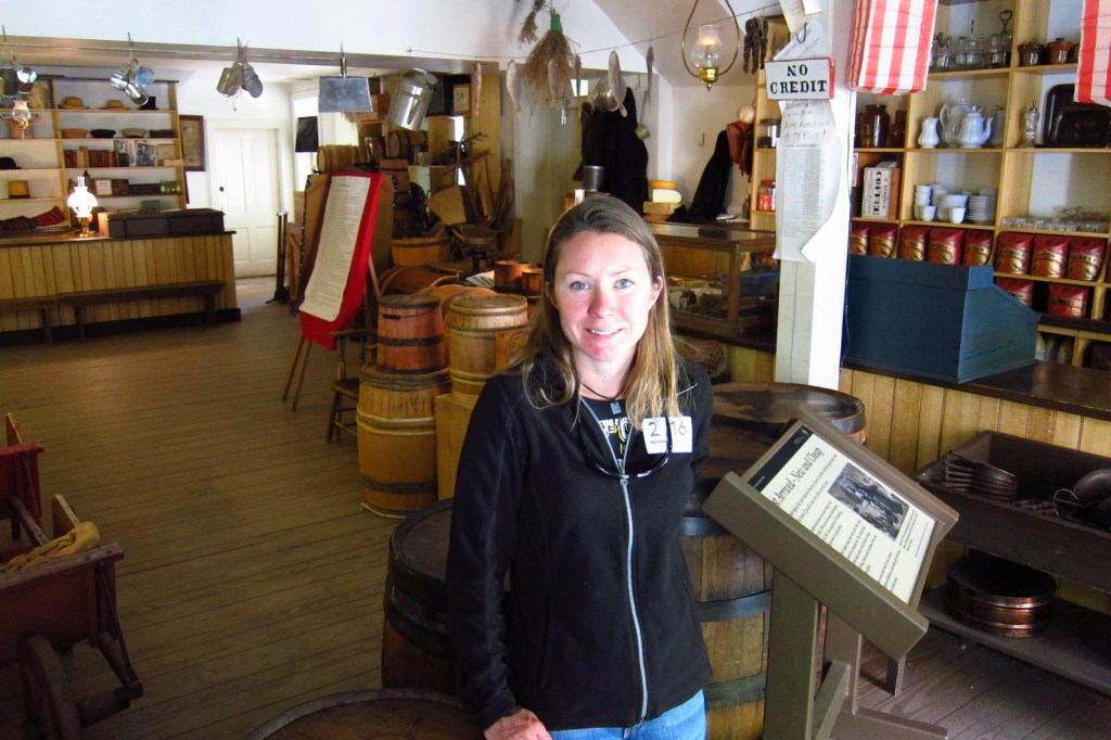
A portion of the town today is run as a series of museums by the National Park Service (NPS), though other parts remain open for business as restaurants, shops, and inns.  Parking is limited in town, so the NPS runs a shuttle (free with parking fee) two miles from their visitor center.

Best Trail

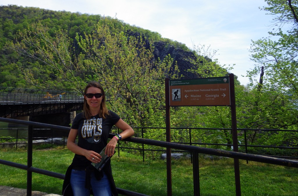
You can hike into town on the 2,185-mile Appalachian Trail that cuts right through the buildings and over the footbridge across the Potomac River.

Instagram-worthy Photo

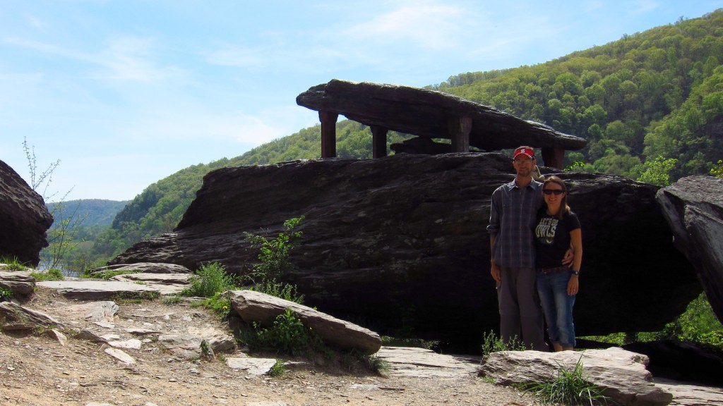
Jefferson Rock is located just up the hill from town, named for Thomas Jefferson who visited in 1783.

Peak Season

Summer

Hours

https://www.nps.gov/hafe/planyourvisit/hours.htm

Fees

$20 to park at NPS visitor center or free with America the Beautiful pass

Road Conditions

There is limited parking in town so it is easier to take a shuttle from the NPS visitor center.

Camping

There are multiple private campgrounds in the area, as well as Maryland’s Gambrill State Park.

Related Sites

Shenandoah National Park (Virginia)

Fort Scott National Historic Site (Kansas)

New River Gorge National Park and Preserve (West Virginia)

Explore More – Which famous member of the Corps of Discovery visited the national armory in Harpers Ferry in 1803 before heading to the Pacific Ocean?

We are a participant in the Amazon Services LLC Associates Program, an affiliate advertising program designed to provide a means for us to earn fees by linking to Amazon.com and affiliated sites.

New River Gorge National Park and Preserve

New River Gorge National Park and Preserve

West Virginia

Managed by National Park Service

Established 1978 National River, 2020 National Park

72,808 acres

Website: nps.gov/neri

Overview

Ironically, the New River is one of the oldest rivers in the world at 65-million years.  In the 50 miles from Bluestone Dam to Gauley Bridge it falls 750 feet in elevation, meaning it is full of Class I to V rapids that attract whitewater rafters from around the world.  On December 27, 2020, the park was changed from a National River to New River Gorge National Park and Preserve to still allow hunting on 90% of its acreage.

Learn more about how to visit this National Park in the expanded second edition of our guidebook A Park to Yourself: Finding Solitude in America’s 63 National Parks. 

New

Highlights

Bridge, scenic views, hiking, whitewater rafting, rock climbing, free campgrounds

Must-Do Activity

Canyon Rim Visitor Center offers information and great views of the New River Gorge Bridge.  From there you can drive down the twisty road to the river.  Most visitors come here for whitewater rafting, so you should consider hiring a guide to take you out.

Best Trail

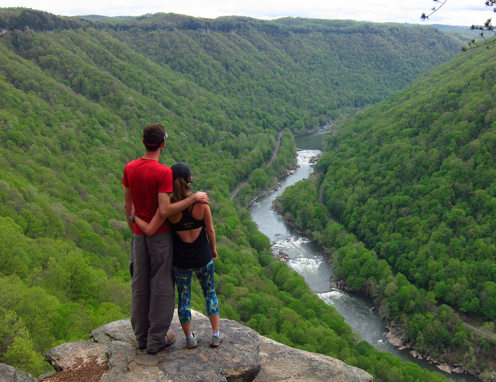
The Endless Wall Trail makes a three-mile loop trail that provides great views of the New River Gorge and the bridge, as well as access to some of the park’s 1,600 rock climbing routes.
Instagram-worthy Photo

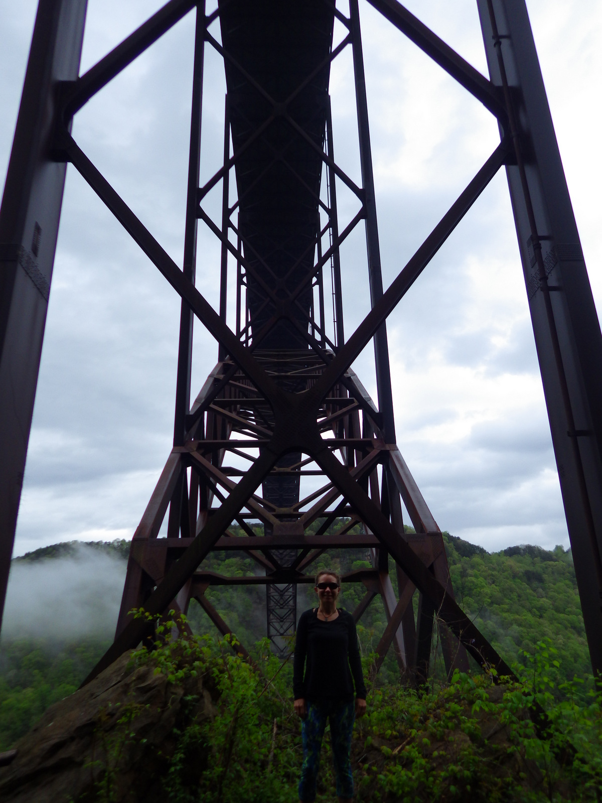
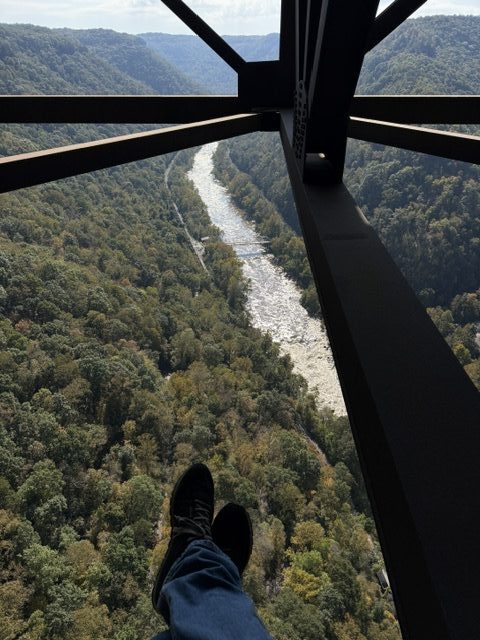
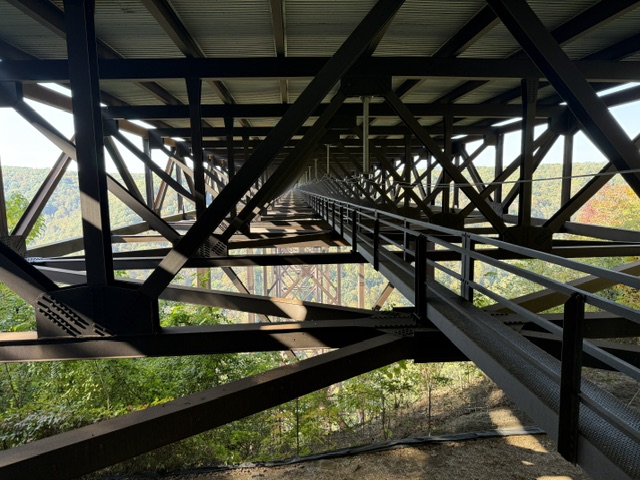
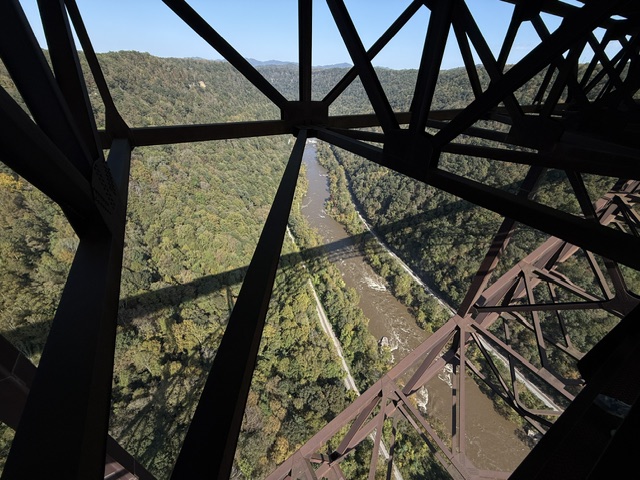
Completed in 1977, the New River Gorge Bridge on Highway 19 is the second longest single-steel span in the world.  Highway 82 passes underneath where it rises 876 feet above the river.

IMGP5990.JPG

Peak Season

Summer (fall for whitewater rafting)

Hours

https://www.nps.gov/neri/planyourvisit/hours.htm

Fees

None, and even many of the NPS campgrounds are free.

Road Conditions

The dirt roads we drove were steep and windy but passable by passenger vehicles, although some probably not by RVs.
Camping

Gravel roads access five free primitive campgrounds and historic ruins like Thurmond Historic District.
Related Sites

Cuyahoga Valley National Park (Ohio)

Bluestone National Scenic River (West Virginia)

Harpers Ferry National Historical Park (West Virginia-Maryland-Virginia)

Group shot!
Overlook on the Endless Wall Trail.
Scott (in red) along the Endless Wall trail

IMGP6012
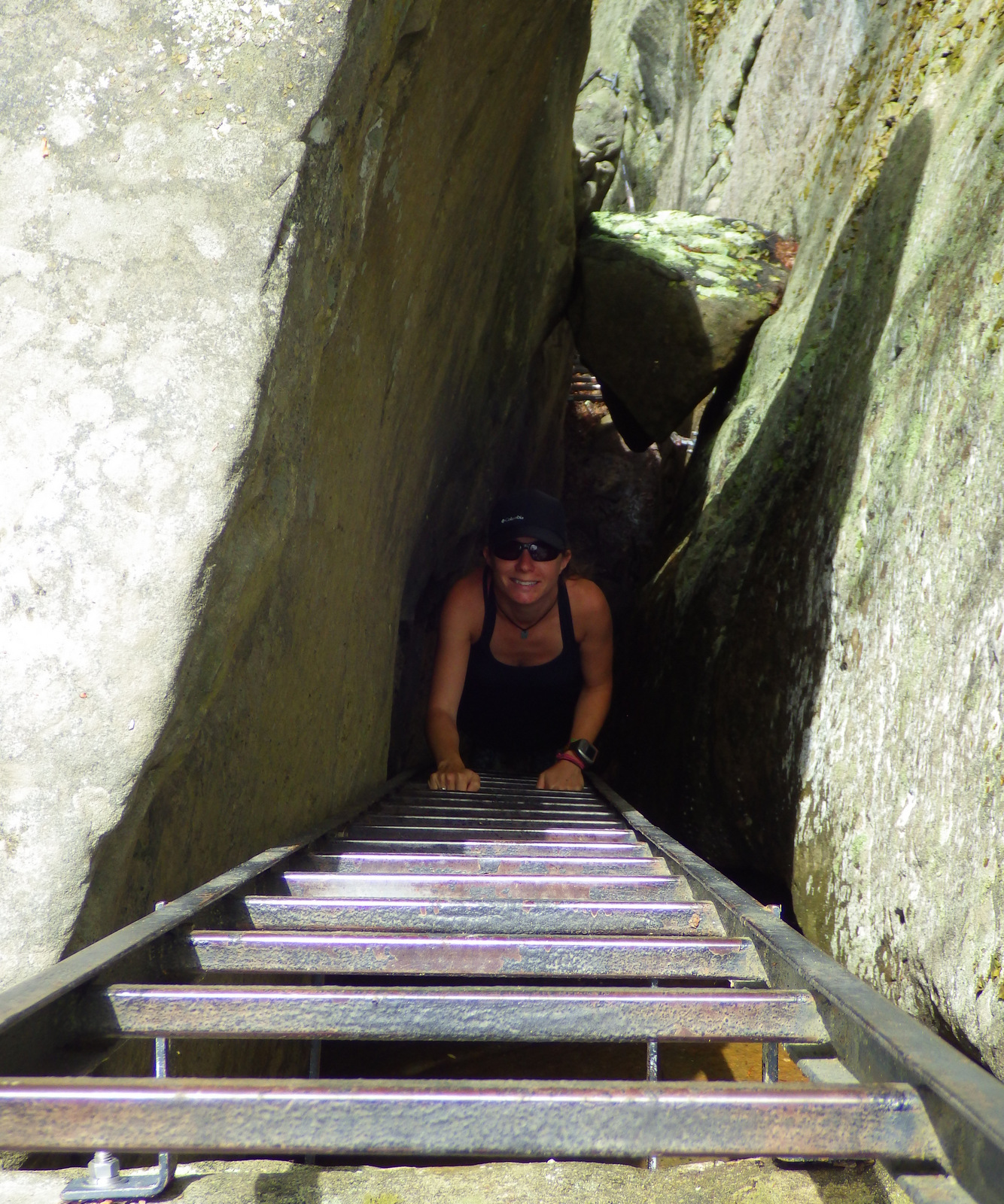
Ladders provide an easier way for non-rock climbers to ascend the Endless Wall.
IMGP6030
Rhododendron bloom
IMGP5971
Some whitewater on the New River.
Morning fog along the New River gorge

Tiff swimming in the New River
There are lots of rapids, except here at Stone Cliff primitive campground.

Explore More – Annually, what day is Highway 19 and the New River Gorge Bridge closed to allow BASE jumpers and rappelers to play on it?

This design we created to celebrate New River Gorge National Park is available on a variety of products at Cafe Press and Amazon.
Cover of the book 'A Park to Yourself: Finding Solitude in America's 63 National Parks, Expanded 2nd Edition' by Scott Sink, PhD and Tiff Sink, MPH, featuring a narrow canyon with a person walking inside.

Know someone who loves National Parks? Gift them our travel guidebook A Park to Yourself: Finding Solitude in America’s 63 National Parks.