Tag Archives: waterfall

Hiawatha National Forest

Hiawatha National Forest

Michigan

Managed by U.S. Forest Service, Eastern Region

1,294,645 acres (894,836 federal/ 399,809 other)

Website: https://www.fs.usda.gov/hiawatha

Overview

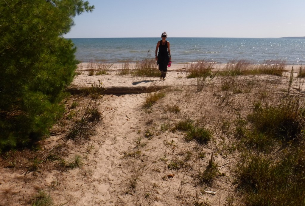
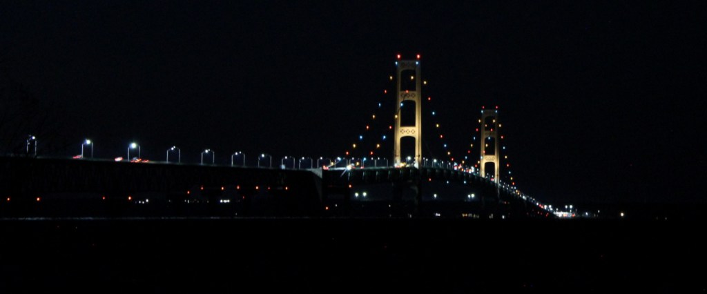
Hiawatha National Forest is separated into two sections on the Upper Peninsula of Michigan, both of which touch Lake Superior and Lake Michigan.  The East Unit also fronts Lake Huron, and includes scenic Round Island Lighthouse near Mackinac Island, as well as beautiful Point Iroquois Light Station.  Most of these sandy soils in the East Unit were never homesteaded, so they were easily designated Marquette National Forest by President Theodore Roosevelt in 1909.  Land purchases for the West Unit began in 1928, and were later replanted by the Civilian Conservation Corps (CCC).  The West Unit includes 13,500-acre Grand Island National Recreation Area (see our blog post) in Lake Superior, a popular destination for camping, biking, and kayaking at the western edge of Pictured Rocks National Lakeshore.

Highlights

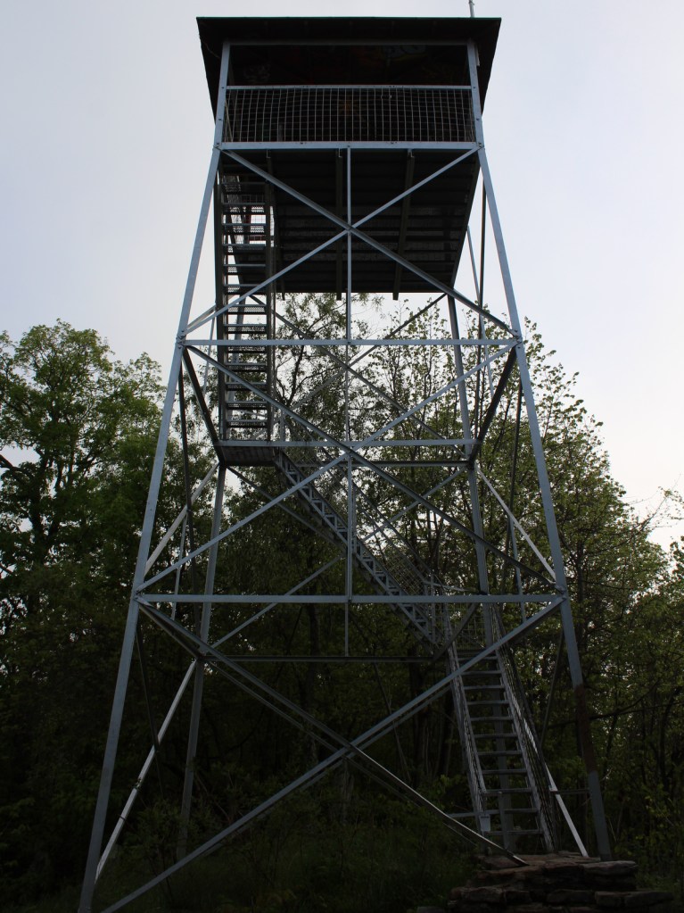
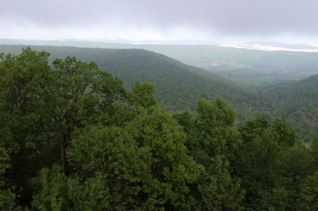
Grand Island National Recreation Area, St. Helena Island National Scenic Area, Whitefish Bay Scenic Byway, Point Iroquois Light Station, Scott Falls, Diamond Hill Lookout, Porcupine Nature Trail, Haymeadow Falls Trail, Naomikong Point Blue Trail, North Country National Scenic Trail

Must-Do Activity

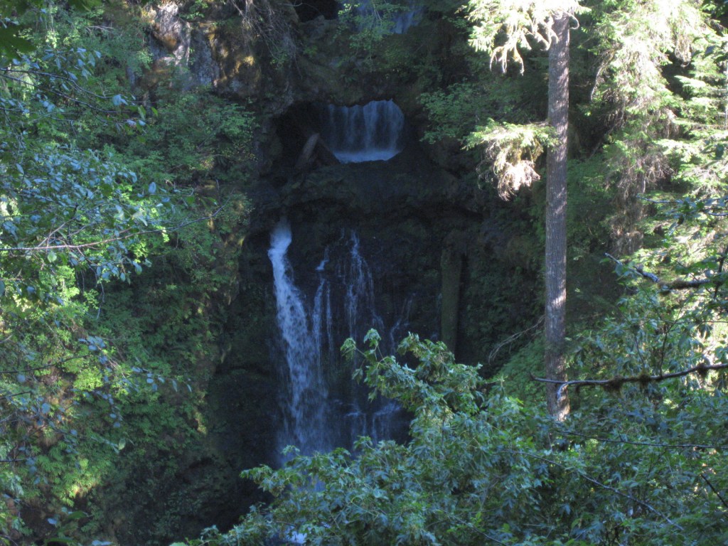
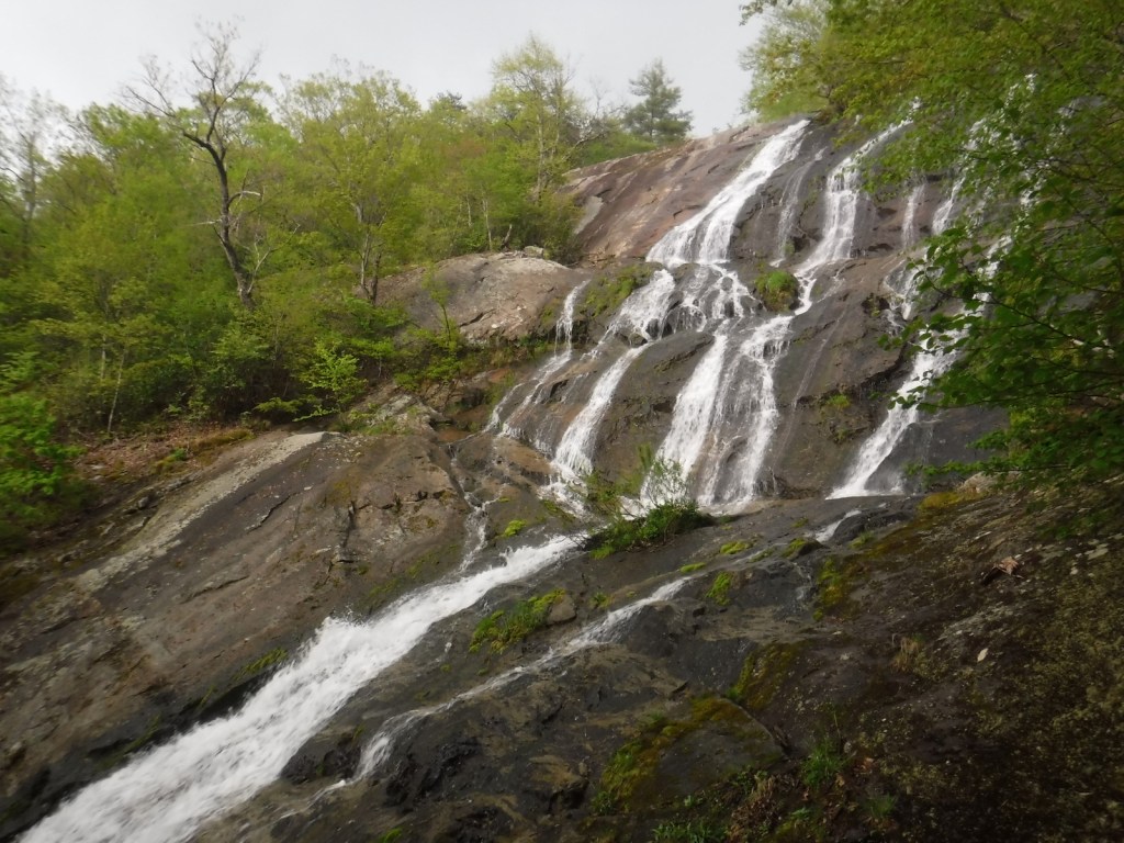
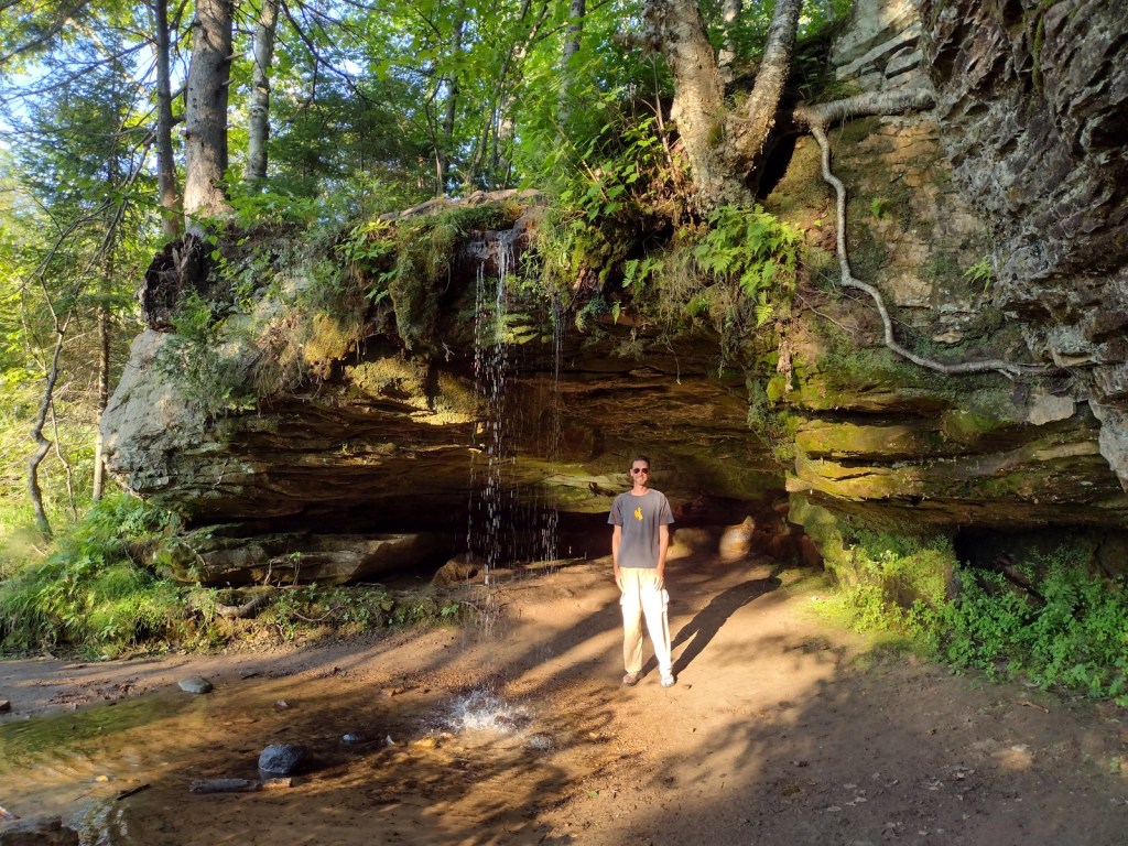
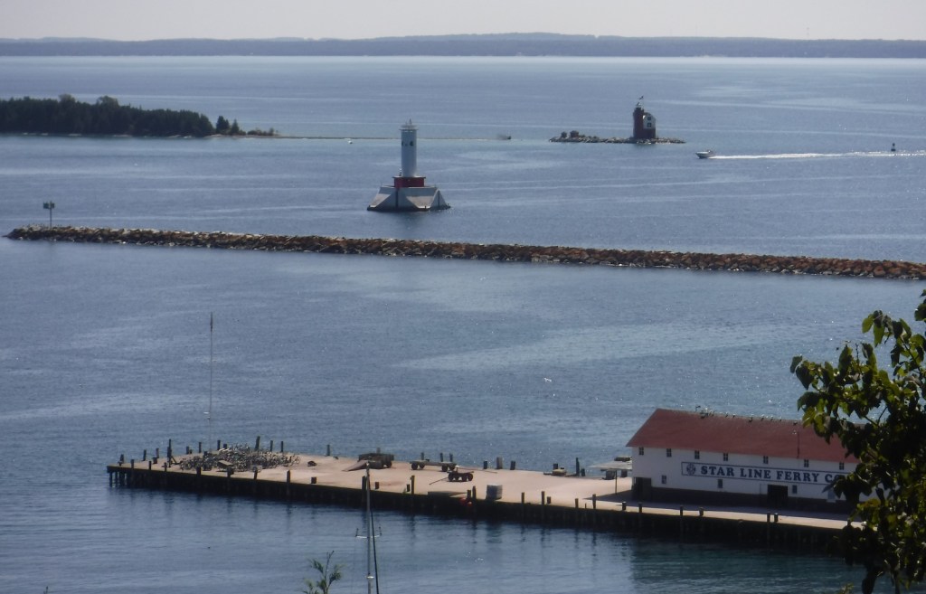
Several lighthouses are located along the shores of the Great Lakes, including the picturesque Round Island Lighthouse near touristy Mackinac Island, Point Iroquois Light Station (see Instagram-worthy Photo) on the Whitefish Bay Scenic Byway, and one on private land near Wick Point within Grand Island National Recreation Area (see our blog post).  Further to the west Highway M-28 follows the shores of Lake Superior, where a Wayside Park at the east side of AuTrain Bay provides parking for those wishing to carefully cross the road to see ten-foot-tall Scott Falls.

Best Trail

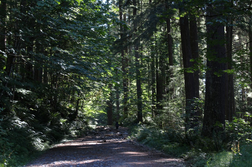
Foley Creek Day Use Area is located just off Interstate 75 at a large pullout along paved Mackinac Trail Road.  A hike starts at the north end of a former campground, and soon the sound of the freeway is dispersed by the trees as you enter the small Horseshoe Bay Wilderness.  The trail has boardwalks across the wettest spots and after 1.4 miles opens up to a secluded sandy beach on Lake Huron with views of Mackinac Island.  Naomikong Point Blue Trail is a popular 3.4-mile out-and-back trail that connects with the North Country National Scenic Trail, crossing Naomikong Creek on a suspension bridge then ending at Menekaunee Point on Naomikong Island.

Watchable Wildlife

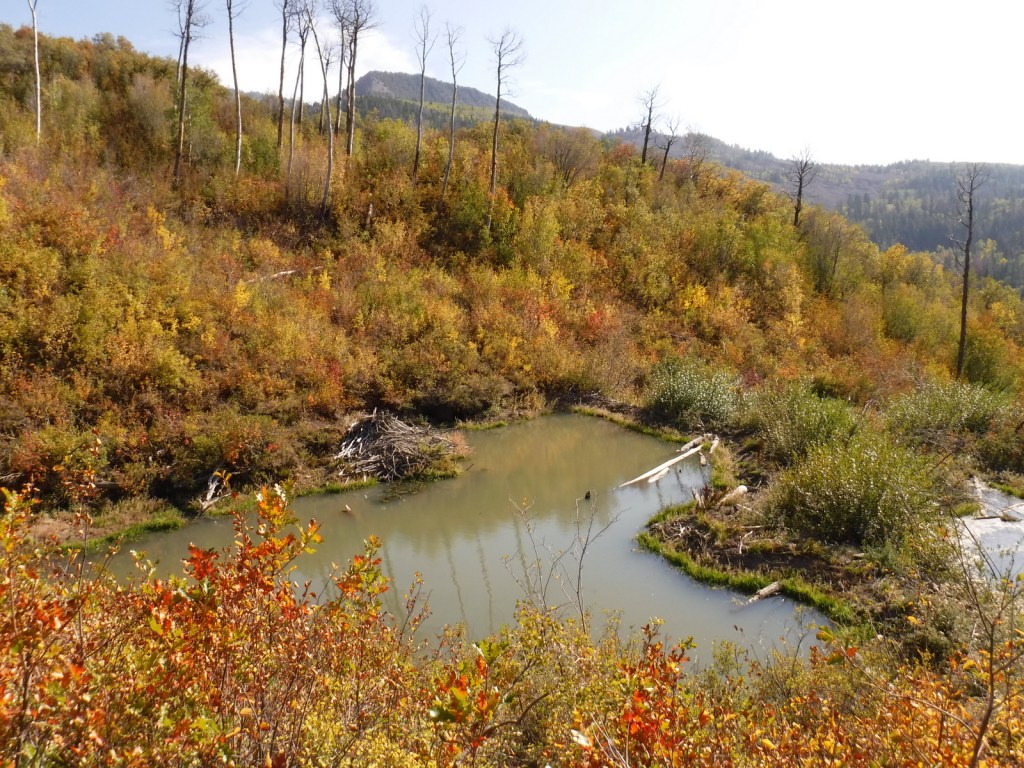
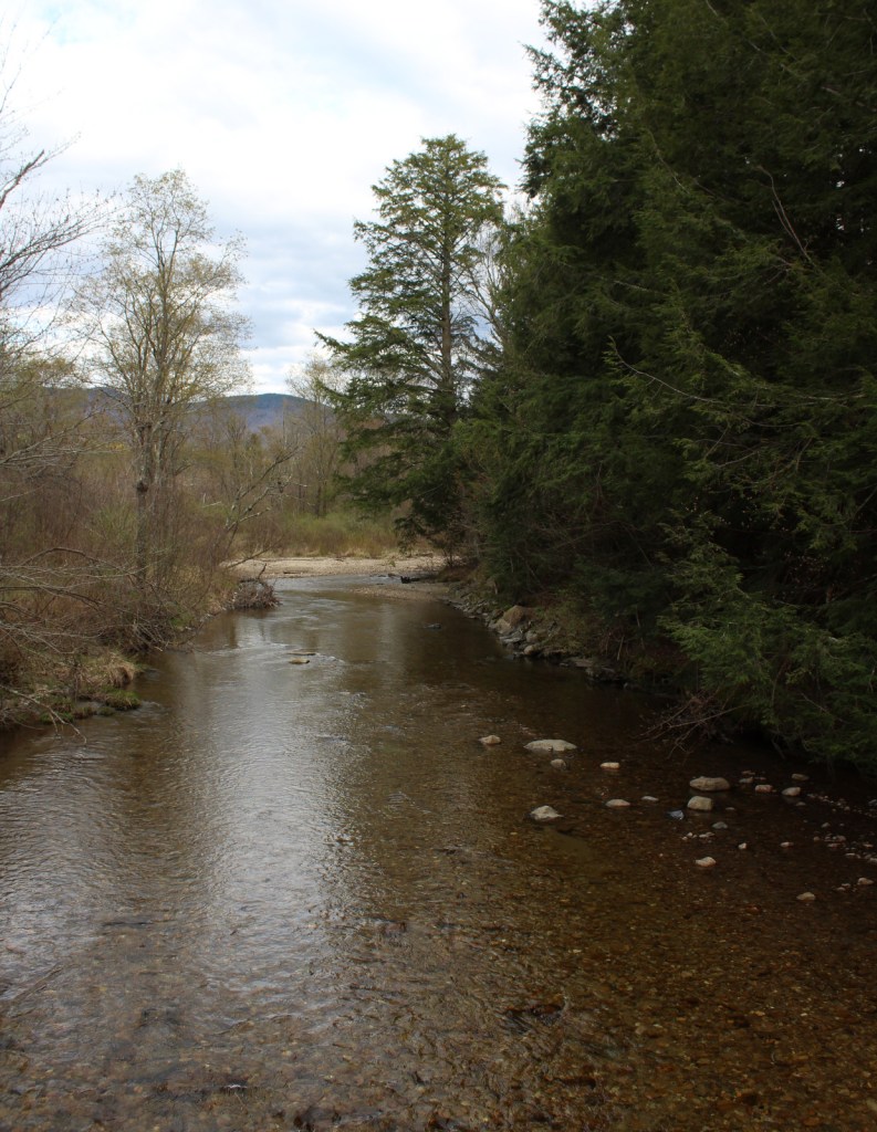
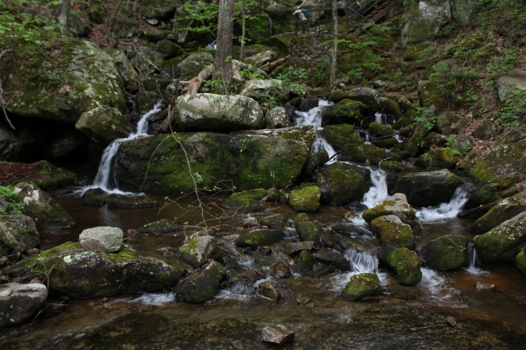
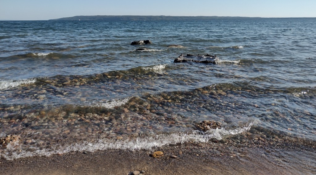
These forests are home to gray wolves, black bears, bobcats, Canada lynx, mountain lions, red foxes, coyotes, striped skunks, weasels, minks, river otters, porcupines, beavers, muskrats, snowshoe hares, white-tailed deer, and moose.  Large birds found here include wild turkeys, spruce grouse, ruffed grouse, golden eagles, bald eagles, ospreys, great blue herons, sandhill cranes, and trumpeter swans.  Hiawatha National Forest has more than 100 miles of shoreline on three Great Lakes, offering fishing for walleye, northern pike, muskies, Atlantic salmon, and steelhead trout.  In addition, there are 75 inland lakes and 600 miles of streams, including five National Wild and Scenic Rivers: Carp River, Indian River, Sturgeon River, Tahquamenon River (East Branch), and Whitefish River.  The 0.9-mile Haymeadow Falls Trail loop partially follows a productive trout stream.

Instagram-worthy Photo

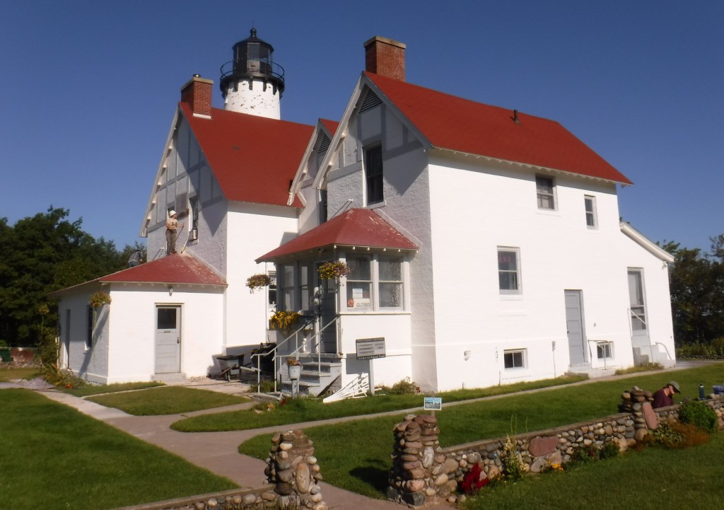
Located on the Whitefish Bay Scenic Byway, the iconic 65-foot Point Iroquois Light Station stands on the shores of Lake Superior at the mouth of St. Mary’s River.  The first lighthouse and residence were built here in 1855, and the current buildings were placed on the National Register of Historic Places in 1975.  When not under construction, you can pay to enter the museum and climb the spiral staircase to the top of the tower.

Peak Season

Summer

Fees

None

Road Conditions

Whitefish Bay Scenic Byway is fully paved, and we found the unpaved roads to Hovey Lake Campground to be in good enough shape for our passenger vehicle.

Camping

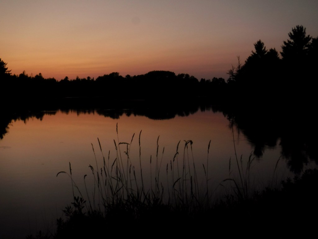
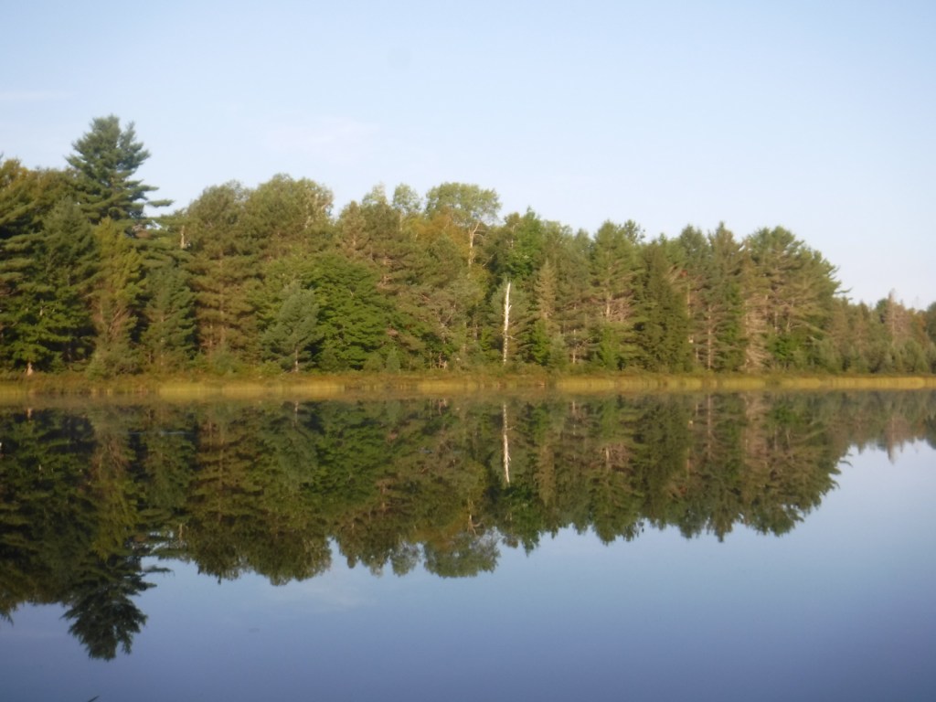
We spent an enjoyable night at the free Hovey Lake Campground and awoke to find a pair of trumpeter swans on the water.  Hiawatha National Forest has many other campgrounds, including two near the Mackinaw Toll Bridge: Lake Michigan (35 campsites) and Carp River (44 sites).  Near the town of Brimley on Lake Superior, Bay View (24 sites) and Monocle Lake (39 sites) Campgrounds are also popular.

Wilderness Areas

Big Island Lake Wilderness

Delirium Wilderness

Horseshoe Bay Wilderness

Mackinac Wilderness

Rock River Canyon Wilderness

Round Island Wilderness

Related Sites

Ottawa National Forest (Michigan)

Keweenaw National Historical Park (Michigan)

Pictured Rocks National Lakeshore (Michigan)

Nearest National Park

Isle Royale

Conifer Tree Species

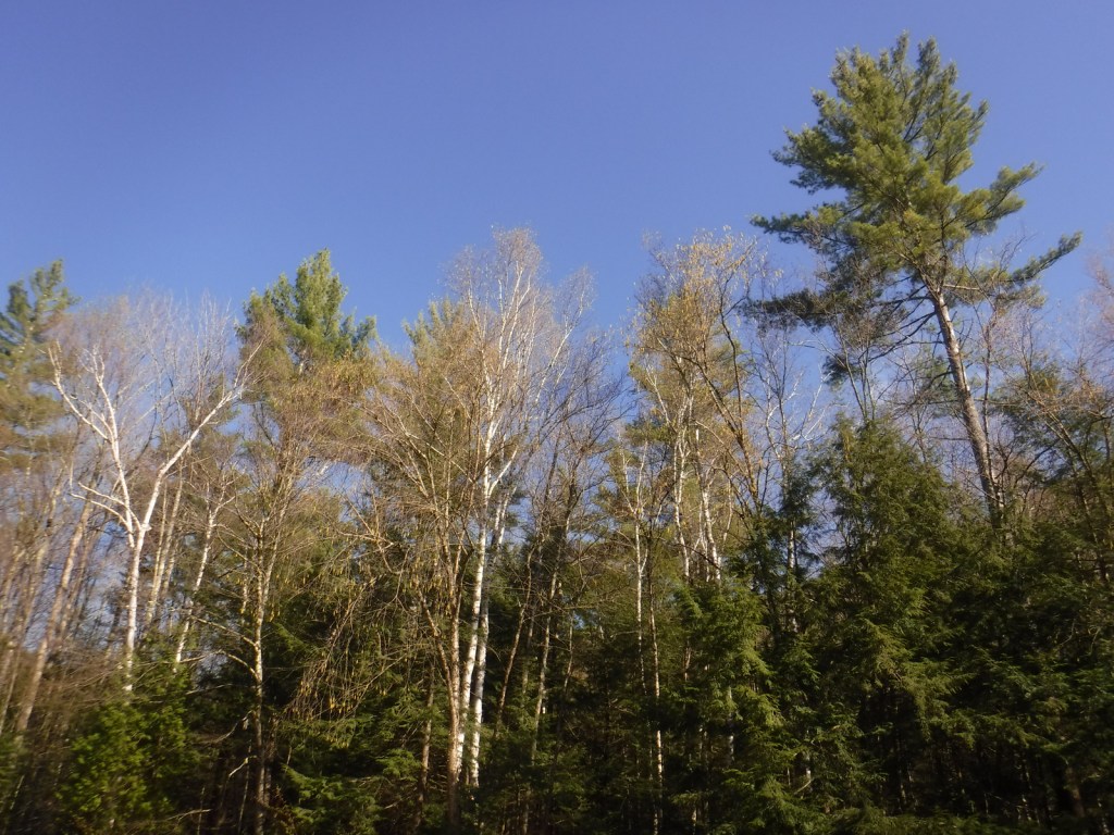
eastern hemlock, jack pine, eastern white pine, red pine, balsam fir, black spruce, white spruce, eastern arborvitae, tamarack

Flowering Tree Species

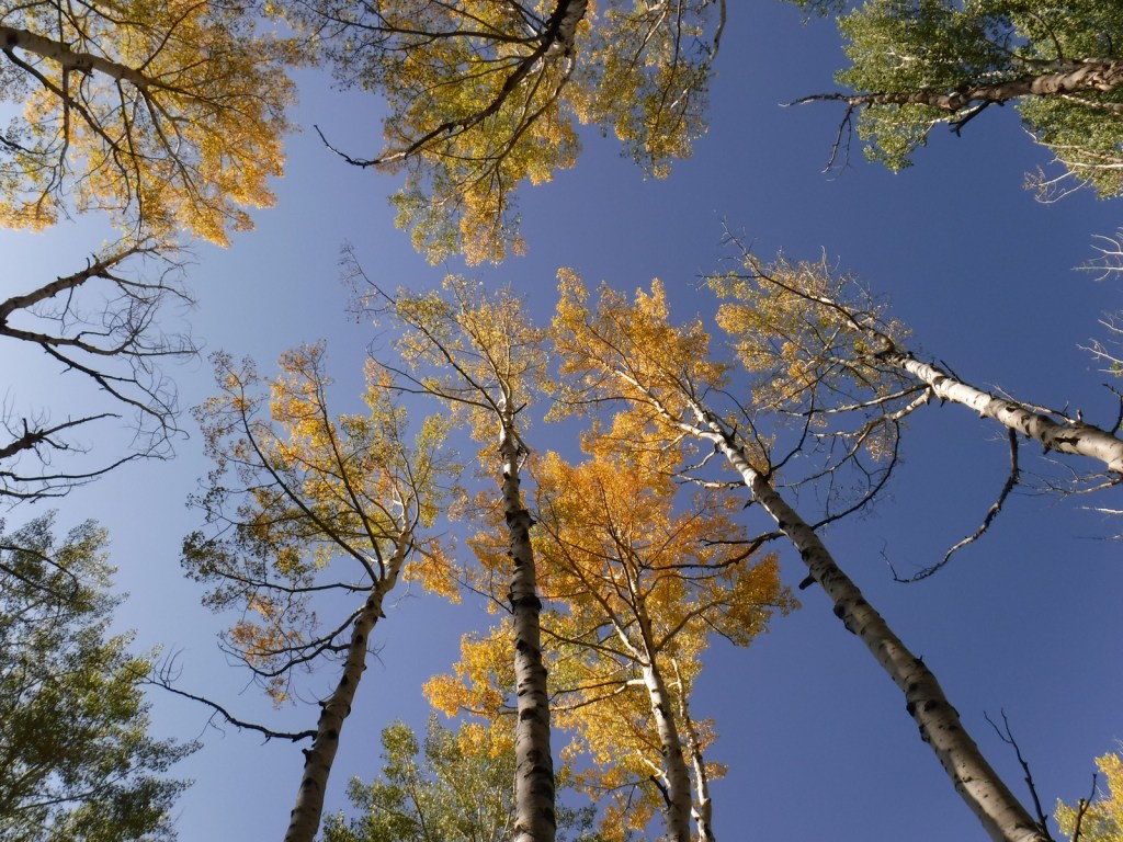
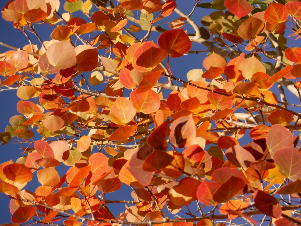
basswood, red maple, sugar maple, American beech, quaking aspen, paper birch, white birch, northern red oak, mountain holly

Explore More – The subject of a famous Henry Wadsworth Longfellow poem, who was Hiawatha in real life?

Learn more about this and the 154 other National Forests in our new guidebook Out in the Woods

Gunnison National Forest

Gunnison National Forest

Colorado

Managed by U.S. Forest Service, Rocky Mountain Region

1,766,941 acres (1,671,941 federal/ 95,000 other)

Website: https://www.fs.usda.gov/gmug

Overview

Gunnison National Forest surrounds the town of Crested Butte, a prime destination for mountain bikers and winter sports enthusiasts.  It also shares mountainous borders and four of its eight designated Wilderness areas with neighboring Rio Grande, San Isabel, Uncompahgre, and White River National Forests.  It was originally called the Cochetopa Forest Reserve, created by President Teddy Roosevelt on June 13, 1905.  It is now co-managed with the Grand Mesa and Uncompahgre National Forests.

Highlights

Silver Thread Scenic Byway, Slumgullion Slide, Mt. Emmons Iron Bog, Taylor Park Reservoir, San Luis Peak, Fossil Ridge Recreation Area, Gothic Research Natural Area, Judd Falls, Alpine Tunnel, Mineral Creek Trail

Must-Do Activity

Much of the area was mined in the past, so there are many miles of four-wheel-drive roads to explore over mountain passes like Tomichi, Hancock, Taylor, Tincup, and Pearl Pass.  Near the Victorian-era town of Lake City, the famous Slumgullion Slide crosses Highway 149 where a massive earth flow created Lake San Cristobal about 700 years ago.  Visible from a pullout at Windy Point, a secondary flow of sludgy montmorillonite continues to move trees downslope to this day.

Best Trail

Just past the Bureau of Land Management (BLM) recreation site at Needle Rock, a gravel road enters Gunnison National Forest where two trailheads afford entrance into the West Elk Wilderness.  Throughline Trail heads northeast toward 12,719-foot Mt. Gunnison, but it can be connected with the Lone Pine Trail at the 3.5-mile point to form a loop with Sink Creek Trail (a total of 13 miles roundtrip).  We hiked a portion of Sink Creek Trail in late September when the aspen trees were changing colors and found a nice place for dispersed camping near the South Smith Fork Trailhead (high-clearance vehicle recommended).

Watchable Wildlife

There are presumably elk in the mountainous West Elk Wilderness, as well as mule deer and bighorn sheep (a herd overwinters near the junction of the East and Taylor Rivers).  Mountain lions, black bears, and pine martens also inhabit Gunnison National Forest.  On our hikes we came across a gopher snake and a dam built by a beaver.  Watch the skies for raptors like golden eagles, red-tailed hawks, and peregrine falcons.

Instagram-worthy Photo

A good gravel road east of Crawford leads into Gunnison National Forest past Needle Rock Outstanding Natural Area, run by the Bureau of Land Management (BLM).  The landmark is a 28-million-year-old volcanic plug which can be explored on a steep trail that does not completely circle it because of private land.

Peak Season

Summer and fall

Fees

None

Road Conditions

Several paved highways crisscross the National Forest, including a stretch of the Silver Thread Scenic Byway.  Not every back road requires a high-clearance vehicle, as good graded roads go over Kebler Pass, Ohio Pass, and Cumberland Pass into the town of Pitkin.  Popular four-wheel-drive routes include Pearl Pass Road, Old Monarch Pass Road, and Schofield Pass north into Crystal Canyon. 

Camping

There are many nice campgrounds in Gunnison National Forest, including Slumgullion Campground at 11,200 feet, Lost Lake Campground next to a wildflower meadow, and Dorchester Campground on the road to 11,928-foot Taylor Pass (accessible by four-wheel-drive vehicles).  Dispersed camping is also allowed throughout the National Forest; we found a nice spot near the South Smith Fork Trailhead (high-clearance vehicle recommended).

Wilderness Areas

Collegiate Peaks Wilderness Area (also in San Isabel National Forest)

Fossil Ridge Wilderness

La Garita Wilderness (also in Rio Grande National Forest)

Maroon Bells-Snowmass Wilderness (also in White River and San Isabel National Forests)

Powderhorn Wilderness (also on BLM land)

Raggeds Wilderness (also in White River National Forest)

West Elk Wilderness

Uncompahgre Wilderness (also in Uncompahgre National Forest)

Related Sites

Arapaho National Forest (Colorado)

Colorado National Monument (Colorado)

Grand Mesa National Forest (Colorado)

Nearest National Park

Black Canyon of the Gunnison

Conifer Tree Species

Engelmann spruce, subalpine fir, Douglas-fir, ponderosa pine, lodgepole pine, two-needle pinyon pine, Rocky Mountain juniper

Flowering Tree Species

Gambel oak, quaking aspen, Utah serviceberry, red elderberry, sagebrush

Explore More – Who was John Gunnison, the Gunnison River’s namesake?

Learn more about this and the 154 other National Forests in our new guidebook Out in the Woods

Green Mountain National Forest

Green Mountain National Forest

Vermont

Managed by U.S. Forest Service, Eastern Region

821,040 acres (399,151 federal/ 421,889 other)

Website: https://www.fs.usda.gov/gmfl

Overview

The only National Forest in Vermont is divided into a north and south section, each with its own National Recreation Area.  In the north, Moosalamoo National Recreation Area has the Voter Brook Overlook and trails to the Falls of Lana and Silver Lake, which has a popular backpacking campground.  In the south, Robert T. Stafford White Rocks National Recreation Area includes a portion of the historic Long Trail where the Appalachian National Scenic Trail overlaps it.  Vermont literally translates as Green Mountain from French, the name of the range that forms the state’s granite backbone.  Winter recreation is a big deal here, with three alpine ski areas in the National Forest and seven designated cross-country ski areas, as well as 900 miles of trails for snowshoeing and some areas open specifically for snowmobiling.  Green Mountain National Forest also co-manages Finger Lakes National Forest in central New York.

Highlights

Moosalamoo National Recreation Area, White Rocks National Recreation Area, Hapgood Pond Recreation Area, Texas Falls, Robert Frost Wayside, Voter Brook Overlook, Falls of Lana, Devil’s Den Cave, Lye Brook Falls, Moss Glen Falls, Mt. Ellen, Robert Frost Interpretive Trail, Long Trail, Appalachian National Scenic Trail

Must-Do Activity

Texas Falls is not located in the right place on the Forest Service visitor app, but it is easy to get to right alongside paved Texas Falls Road off State Route 125.  The falls formed at the end of the Ice Age around 12,000 years ago, when meltwater scoured the quartz-chlorite schist.  A footbridge crosses the Hancock Branch over an interesting glacial pothole in the rock, and a nature trail continues uphill forming a 1.2-mile loop.  We did not make it to Lye Brook Falls or Moss Glen Falls, but found the off-trail Falls of Lana worth the effort (see Moosalamoo National Recreation Area).

Best Trail

Green Mountain National Forest contains about half of the 272-mile Long Trail, which in 1931 became the first named long-distance hiking trail in the U.S.  In Robert T. Stafford White Rocks National Recreation Area, the Long Trail is coincident with the Appalachian National Scenic Trail (AT) with several overnight shelters (some of which charge $5 per person, per night).

Watchable Wildlife

The National Forest contains 450 miles of streams, which is great for trout and salmon fishermen, especially since some wildlife management projects have been done to improve their habitat.  Other work has been completed to support ruffed grouse, wild turkey, black bear, and Bicknell’s thrush.  We were told by a local that there is a black bear named Jenny that hangs out around the White Rocks Day Use Area.  Additional species of interest include moose, white-tailed deer, coyote, porcupine, and beaver.

Instagram-worthy Photo

Less than a mile up the Ice Beds Trail, a short climb reaches a viewpoint of the white rocks, a glacier-scoured cliff of Cheshire quartzite that is (part of) the namesake for Robert T. Stafford White Rocks National Recreation Area.

Peak Season

Fall

Fees

Ski areas at Mount Snow, Stratton Mountain, and Bromley Mountain have recreation fees.  Along the Long Trail/AT, there is a camping fee of $5 per person, per night at Little Rock Pond, Peru Peak, Stratton Pond, and Griffith Lake.

Road Conditions

All the gravel roads we drove were in good shape during the spring, including the roads to Voter Brook Overlook and White Rocks Day Use Area.

Camping

One of the most developed parts of the National Forest is at 7-acre Hapgood Pond where there is a campground, swimming beach, and boat ramp.  Moosalamoo Campground has 18 campsites located at the base of the Mt. Moosalamoo Trail, near Voter Brook Overlook.  There are a couple dispersed campsites also on the road, but we had one of our worst nights camping here with college kids blasting music late and another group waking us up before sunrise.  The backpacking campground at Silver Lake is nice, or you can stay at Branbury State Park on Lake Dunmore.

Wilderness Areas

Big Branch Wilderness

Breadloaf Wilderness

Bristol Cliffs Wilderness

George D. Aiken Wilderness

Glastenbury Wilderness

Joseph Battell Wilderness

Lye Brook Wilderness

Peru Peak Wilderness

Related Sites

Marsh-Billings-Rockefeller National Historical Park (Vermont)

Saint-Gaudens National Historical Park (New Hampshire)

White Mountain National Forest (New Hampshire-Maine)

Nearest National Park

Acadia

Conifer Tree Species

eastern hemlock, eastern white pine, red pine, red spruce, balsam fir

Flowering Tree Species

sugar maple, American beech, yellow birch, white birch, paper birch, mountain ash

Explore More – Texas Falls is located on the Hancock Branch, which feeds the White River that converges with what major river?

Learn more about this and the 154 other National Forests in our new guidebook Out in the Woods

We are a participant in the Amazon Services LLC Associates Program, an affiliate advertising program designed to provide a means for us to earn fees by linking to Amazon.com and affiliated sites.

Gifford Pinchot National Forest

Gifford Pinchot National Forest

Washington

Managed by U.S. Forest Service, Pacific Northwest Region

1,409,966 acres (1,321,506 federal/ 88,460 other)

Website: https://www.fs.usda.gov/giffordpinchot/

Overview

First set aside as Mt. Rainier Forest Reserve in 1897, nearly one-million acres were renamed Columbia National Forest in 1908.  It became Gifford Pinchot National Forest in 1949 to honor the chief of the U.S. Division of Forestry (1898-1905) and first chief of the U.S. Forest Service (1905-1910).  The Yale graduate studied forestry in Europe and his family founded the Yale Forest School (see Grey Towers National Historic Site).  Gifford Pinchot National Forest borders the Columbia River to the south, across from Oregon’s Mt. Hood National Forest.  It stretches north to Mt. Rainier National Park and contains 12,276-foot Mt. Adams (the state’s second tallest volcano) and Mt. St. Helens, which was designated a National Monument after its eruption on Sunday, May 18, 1980.  There are 1,475 miles of trails and more than 4,000 miles of roads in the National Forest, so there is plenty to explore outside the volcanoes. 

Highlights

Mt. St. Helens National Volcanic Monument, Silver Star Scenic Area, Lower Falls of the Lewis River, Tatoosh Range, Packwood Lake, Quartz Creek, Ape Cave, Langfield Falls, Horseshoe Lake, Panther Creek Falls, Ice Cave, Mt. Adams, Midway High Lakes Area, Takhlakh Lake, Lava Canyon Trail, Pacific Crest National Scenic Trail

Must-Do Activity

We will cover Mt. St. Helens National Volcanic Monument in a separate post, so here we will focus on the National Forest’s other attractions.  North of Mt. St. Helens, a half-mile trail follows Quartz Creek through an old-growth forest of huge Douglas-firs.  To the south, check out Lava Canyon Trail and Cedar Flats Research Natural Area where old-growth western redcedar trees are draped in lichen.  There are numerous waterfalls in the National Forest, including dual Panther Creek Falls that drops 175 feet side by side and the triple Falls Creek Falls that cascades 150 feet.  This lush region is also known for its berry picking, especially the renowned Sawtooth Berry Fields. 

Best Trail

Ape Cave is a lava tube located south of Mt. St. Helens, which at 2.5 miles is the third longest in North America.  The cave is not named for a fossil discovery, but rather the local Boy Scout troop that explored its interior in the 1950s after its discovery.  It is believed that the lava tube formed during a basaltic flow 1,900 years ago.  Ape Cave Trail is a National Recreation Trail receiving approximately 170,000 visitors annually (a timed reservation is required).  There are two layers to the cave, a smoother 0.8-mile upper level and a rougher 1.5-mile lower level that requires scaling an eight-foot lava wall.  Bundle up if you visit, as the underground temperature is 42°F year round.  The 650-foot-long Ice Cave is another lava tube known for its ice stalactites in spring (reservation required).

Watchable Wildlife

Located on the rainy side of the Cascades, Gifford Pinchot National Forest receives plenty of precipitation to feed its many rivers, including the glacier-fed White Salmon National Wild and Scenic River.  Four species of fish identified as threatened inhabit this region’s waters: bull trout, steelhead, chinook salmon, and coho salmon.  Another threatened species, the northern spotted owl requires buffer zones around its nests.  Mammals of Gifford Pinchot National Forest include elk, black-tailed deer, black bears, bobcats, and several species of marmots.  The wettest parts of the forest, especially in riparian corridors, have a variety of frogs, salamanders, and newts.

Instagram-worthy Photo

There are numerous waterfalls in this forest due to its high annual rainfall and steep elevation gradients.

Peak Season

Summer

Fees

An America the Beautiful Pass or Northwest Forest Pass ($5 day use) is required at many parking areas in the National Forest, including Ice Cave and Ape Cave (where a timed reservation is required from recreation.gov). 

Road Conditions

The major roads are paved to viewpoints in Mt. St. Helens National Volcanic Monument, but there are plenty of unpaved roads throughout the National Forest, some requiring high-clearance vehicles. 

Camping

Iron Creek Campground north of Mt. St. Helens has two short trails, a quarter-mile trail through old-growth forest and one that follows a river 1.5 miles under a canopy of Douglas-fir and western redcedar.  Dispersed camping is allowed throughout the National Forest, and we have camped here to avoid the crowds while visiting the beautiful waterfalls of Columbia River Gorge National Scenic Area, part of Oregon’s Mt. Hood National Forest.

Wilderness Areas

Dark Divide Roadless Area

Glacier View Wilderness

Goat Rocks Wilderness (also in Wenatchee National Forest)

Indian Heaven Wilderness

Mount Adams Wilderness

Tatoosh Wilderness

Trapper Creek Wilderness

William O. Douglas Wilderness (also in Wenatchee National Forest)

Related Sites

Mt. St. Helens National Volcanic Monument (Washington)

Ross Lake National Recreation Area (Washington)

Fort Vancouver National Historic Site (Washington)

Nearest National Park

Mount Rainier

Conifer Tree Species

Douglas-fir, western redcedar, Pacific silver fir, noble fir, subalpine fir, mountain hemlock, western hemlock, whitebark pine, lodgepole pine, Alaska yellow-cedar

Flowering Tree Species

balsam poplar, paper birch, willow, red alder, bigleaf maple, Pacific rhododendron

Explore More – In addition to the White Salmon River, which four other waterways in the National Forest have been recommended to be added to the Wild and Scenic River System?

Learn more about this and the 154 other National Forests in our new guidebook Out in the Woods

We are a participant in the Amazon Services LLC Associates Program, an affiliate advertising program designed to provide a means for us to earn fees by linking to Amazon.com and affiliated sites.

George Washington National Forest

George Washington National Forest

Virginia, West Virginia

Managed by U.S. Forest Service, Southern Region

1,795,084 acres (1,065,369 federal/ 729,715 other)

Website: https://www.fs.usda.gov/gwj

Overview

First established as the Shenandoah National Forest in 1918, George Washington National Forest covers portions of the Blue Ridge and Allegheny Mountains.  It includes the northern 60 miles of the Blue Ridge Parkway and a significant stretch of the Appalachian National Scenic Trail south of Shenandoah National Park.  The National Forest’s proximity to Washington, D.C. and Baltimore makes it a major recreation destination, particularly for trail runners.  It is now co-managed with the more western Jefferson National Forest, together encompassing 230,000 acres of old-growth forests, 139,461 acres of Wilderness areas, and more than 2,000 miles of trails.

Highlights

Mt. Pleasant National Scenic Area, Big Walker Mountain Scenic Byway, Highland Scenic Tour, Massanutten Visitor Center, Sherando Lake, White Rock Creek Falls, Lake Moomaw, Woodstock Tower, Upper Shamokin Falls, Slacks Overlook, High Knob Fire Tower, Maple Flats, Bird Knob Loop Trail, Lion’s Tale National Recreation Trail, Waterfall Mountain Loop Trail, McDowell Battlefield Trail, Big Schloss Trail, Crabtree Falls Observation Trail, Story Book Trail, Pig Iron Loop Trail, Dragons Tooth Trail, Appalachian National Scenic Trail

Must-Do Activity

Driving the Blue Ridge Parkway through George Washington National Forest is a must-do, but there are other attractions to be found in this ridgeline-running forest.  Not far east off Interstate 81, it is a short drive up a gravel road to Woodstock Lookout Tower, where a short, flat trail accesses the metal structure that provides views of the Seven Bends of the Shenandoah River.  Downhill on the eastern side of that ridge (and protected from freeway noise) is the free Little Fort Campground with nine campsites.  There is a charge to ride the Peters Mill Gap and Taskers Run ATV/OHV trails (covering 40 miles) that leave from the campground.  A one-mile hiking trail leaves from Campsite 8 and climbs up to Woodstock Tower.

Best Trail

Crabtree Falls Observation Trail (day use fee) is easy to access from paved State Route 56 east of the Blue Ridge Parkway.  There are actually five waterfalls here with a total drop of 1,200 feet spread over a half-mile.  The first overlook of the lower falls is only 500 feet from the parking lot and is handicap accessible.  From there, the trail switchbacks up 1.7 miles one-way to a fourth and final view of the falls, then continues on another two miles to the Appalachian National Scenic Trail after gaining more than 1,000 feet in elevation. 

Watchable Wildlife

Extensive sections of old-growth forest can be found in Mt. Pleasant National Scenic Area and much of the Rich Hole and Ramsey’s Draft Wildernesses.  This provides habitat for a healthy population of black bears, as well as white-tailed deer, bobcats, raccoons, river otters, martens, and weasels.  Large birds found in George Washington National Forest include wild turkeys, turkey vultures, bald eagles, peregrine falcons, and several types of hawks.  Wetlands, like Maple Flats, are home to cricket frogs, painted turtles, spotted turtles, and many species of salamanders, such as marbled, Cow Knob, Cheat Mountain, Shenandoah, and tiger salamanders.  Over 100 species of freshwater fish reside here, and fishing is popular activity in the Jackson River and 152-foot-deep Lake Moomaw.

Instagram-worthy Photo

With five major cascades dropping 1,200 feet in total, there are plenty of places to catch your breath and snap some photographs along the steep Crabtree Falls Observation Trail.

Peak Season

Spring and fall

Fees

There is a day use fee for hiking Crabtree Falls Observation Trail and riding the Peters Mill Gap and Taskers Run ATV/OHV trails. 

Road Conditions

Parking at Crabtree Falls is paved and RV accessible, and the one unpaved road we took to Woodstock Tower and Little Fort Campground was in good shape.

Camping

There are many designated campgrounds found throughout George Washington National Forest, including the free, nine-site Little Fort Campground not far east off Interstate 81 (see Must-Do Activity).  Although dispersed camping can be hard to find, we read there are sites on the four-wheel-drive road (SR 826) at the top of Crabtree Falls Observation Trail near where it meets the Appalachian National Scenic Trail. 

Wilderness Areas

Barbours Creek Wilderness (also in Jefferson National Forest)

Priest Wilderness

Ramsey’s Draft Wilderness

Rich Hole Wilderness

Rough Mountain Wilderness

Saint Mary’s Wilderness

Shawvers Run Wilderness (also in Jefferson National Forest)

Three Ridges Wilderness

Related Sites

Booker T. Washington National Monument (Virginia)

Cedar Creek and Belle Grove National Historical Park (Virginia)

Jefferson National Forest (Virginia, West Virginia, Kentucky)

Daniel Boone National Forest (Kentucky)

Nearest National Park

Shenandoah

Conifer Tree Species

eastern hemlock, eastern white pine, shortleaf pine, Table Mountain pine, red spruce, eastern redcedar

Flowering Tree Species

tulip-poplar, American beech, shagbark hickory, white oak, black oak, northern red oak, rock chestnut oak, pin oak, yellow birch, gray birch, sweet birch, striped maple, red maple, black gum, sassafras, basswood, flowering dogwood, sourwood, cucumber magnolia, mountain laurel, quaking aspen, paper birch, witch hazel, dwarf willow, winterberry, rhododendron

Explore More – In 1972, what company sponsored the planting of the National Children’s Forest in a burned-out area east of Jordan Mines?

Learn more about this and the 154 other National Forests in our new guidebook Out in the Woods

We are a participant in the Amazon Services LLC Associates Program, an affiliate advertising program designed to provide a means for us to earn fees by linking to Amazon.com and affiliated sites.